Elevation of Richmond Dr, Bartlesville, OK, USA
Location: United States > Oklahoma > Washington County > Bartlesville >
Longitude: -95.921118
Latitude: 36.7237169
Elevation: -10000m / -32808feet
Barometric Pressure: 295KPa
Elevation Map:
Satellite Map:
Related Photos:

Fall Reflection
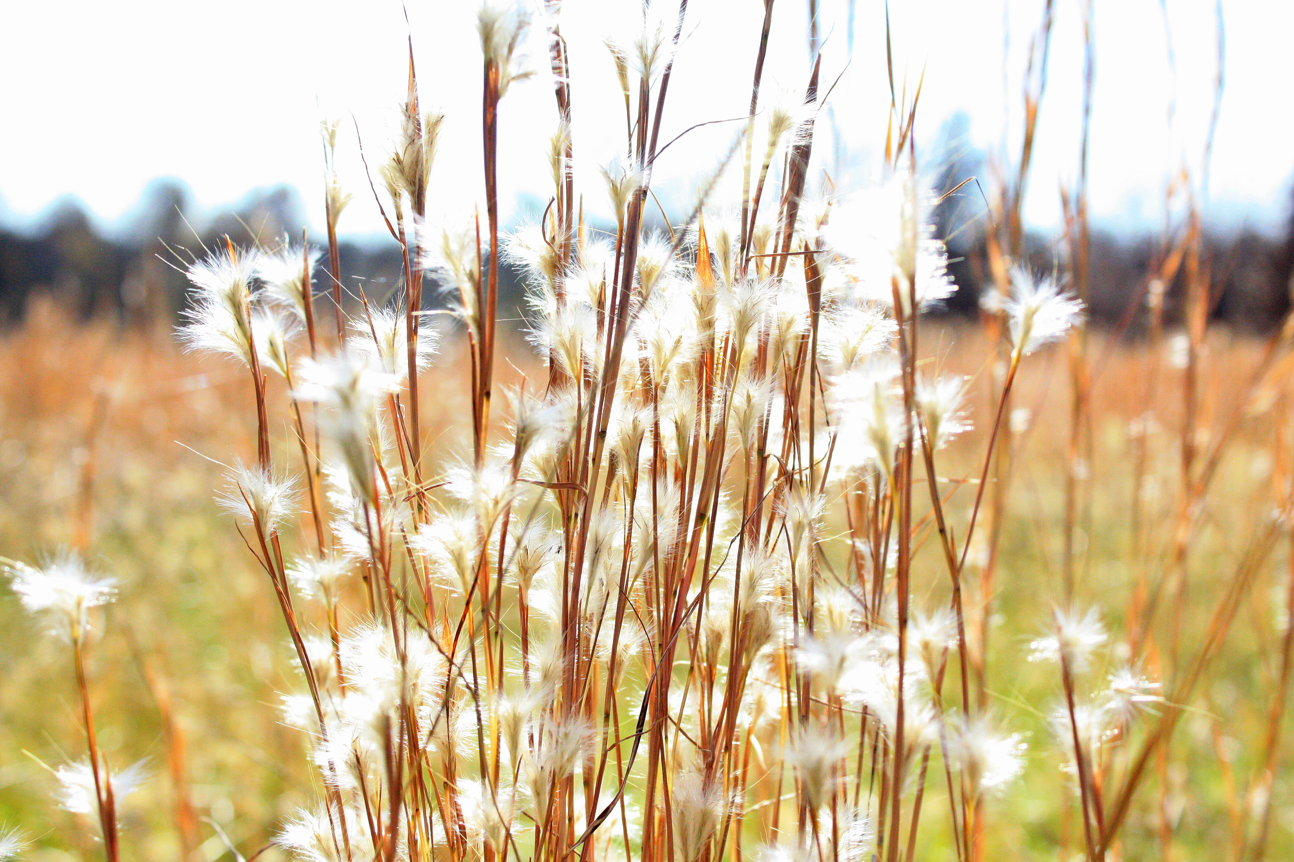
some grass stuff

the field

Prairie.

The orchard from Frank Phillips Blvd

Sunset from the back yard

Oklahoma sky though...

City Fields
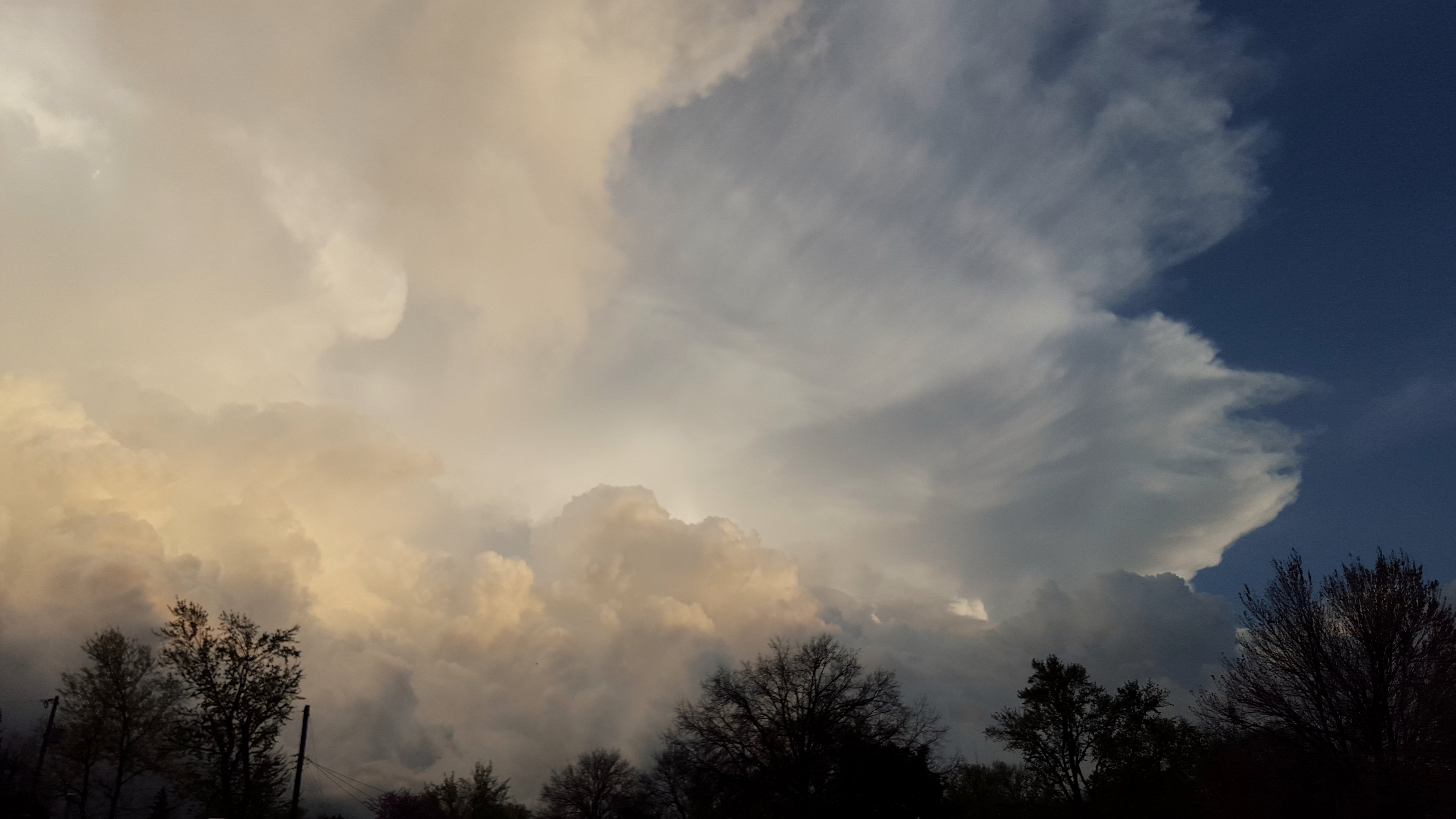
The edge of the storm

Bartlesville sunset

Orange Bartlesville sunset

Favorite Tree in Late Summer
Bending to the wind

Favorite Pathfinder Tree in Spring

Pathfinder Autumn near Turkey Creek

My Favorite Bench

Turkey Creek below Washington Blvd

Winding Path

The Long Road

Sooner Park Band Shell

Bartlesville sunset
Topographic Map of Richmond Dr, Bartlesville, OK, USA
Find elevation by address:

Places near Richmond Dr, Bartlesville, OK, USA:
Steeltech Landscape
St James Catholic Church
Lance's Guide Service
Washington Park Mall
Bath & Body Works
Doenges Ford
1313 Ravenwood Ct
Food Pyramid
Compass Pointe Financial Llc
Pedestrian Tunnel
2400 Terrace Dr
2403 Circle Dr
2430 Circle Dr
2400 Circle Dr
2402 Circle Dr
2404 Circle Dr
2628 State Barn Rd
2428 State Barn Rd
2330 Yorman Rd
3987 Silver Lake Rd
Recent Searches:
- Elevation of Congressional Dr, Stevensville, MD, USA
- Elevation of Bellview Rd, McLean, VA, USA
- Elevation of Stage Island Rd, Chatham, MA, USA
- Elevation of Shibuya Scramble Crossing, 21 Udagawacho, Shibuya City, Tokyo -, Japan
- Elevation of Jadagoniai, Kaunas District Municipality, Lithuania
- Elevation of Pagonija rock, Kranto 7-oji g. 8"N, Kaunas, Lithuania
- Elevation of Co Rd 87, Jamestown, CO, USA
- Elevation of Tenjo, Cundinamarca, Colombia
- Elevation of Côte-des-Neiges, Montreal, QC H4A 3J6, Canada
- Elevation of Bobcat Dr, Helena, MT, USA