Elevation of Riceville Rd, West Valley, NY, USA
Location: United States > New York > Cattaraugus County > West Valley >
Longitude: -78.587111
Latitude: 42.4399201
Elevation: 536m / 1759feet
Barometric Pressure: 95KPa
Elevation Map:
Satellite Map:
Related Photos:

B&O 6904 Springville

Franklinville view from the front deck.
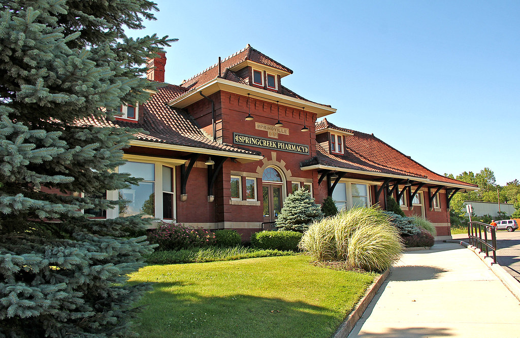
Springville Station

070808-02

"Hey mister, take our picture!"

The Cat in Bird Swamp

Ashford, NY

Ashford, NY

WE 6387 SD40-2 - BKBF

Riceville, NY

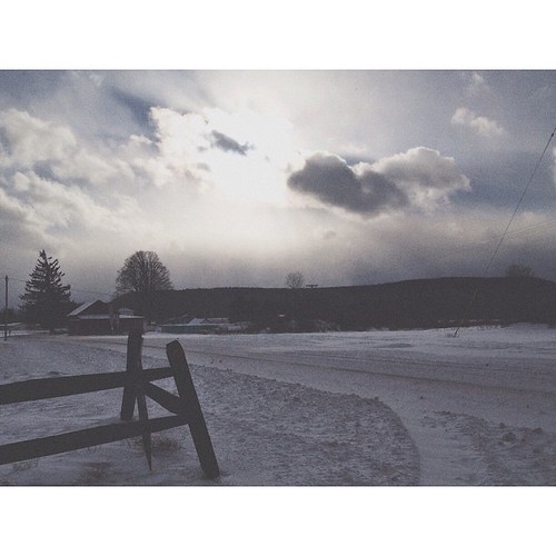
That's not snow is it.

WM 4313 Bird Swamp

Hundred acre woods
it was a blustery cold wait at the bus stop today but the sun did peek through for a moment!! 7/365 #itsbelowzero

West Valley, NY

Crestview Sunset
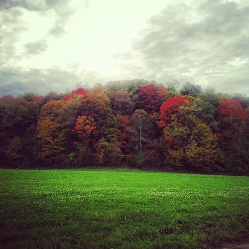
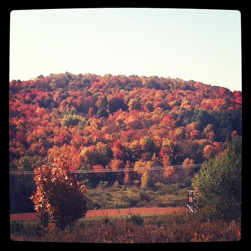
#fall #color #cattarauguscounty #beauty
#fall #color #cattarauguscounty #beauty
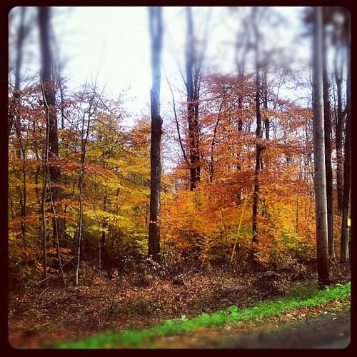
October's bright blue weather
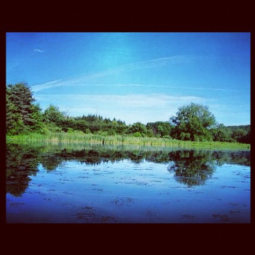
Case Lake #franklinville #summer #kayak
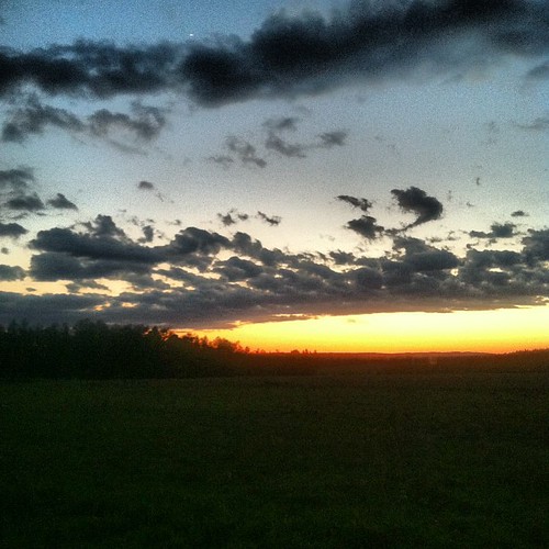
More sunset
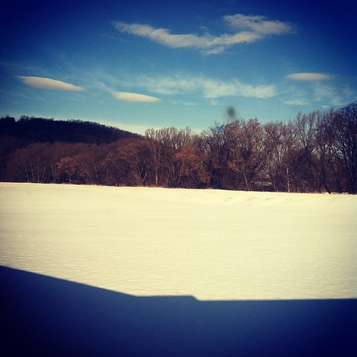
Winter blue sky

HIP_334953163.706315

Ashford, NY

OL-2 has M636 #637 on the South end and M636 #638 on the North end of a 20 car stone strain that is being loaded to go directly to Hawbaker's in Turtle Point, PA.

Mckinstry Creek
Topographic Map of Riceville Rd, West Valley, NY, USA
Find elevation by address:

Places near Riceville Rd, West Valley, NY, USA:
5038 Riceville Rd
9835 Riceville Rd
9035 Riceville Rd
West Valley
4109 Woodard Rd
4572 N Canada Hill Rd
Machias
10083 Mckinstry Rd
Yorkshire
Mc Kinstry Rd, Machias, NY, USA
Machias
296 Newman St
28 Co Rd 82, Springville, NY, USA
Springville
149 Odosagih Dr
Lime Lake
74 Smith St
269 Franklin St
73 Potter Rd
Delevan
Recent Searches:
- Elevation of Congressional Dr, Stevensville, MD, USA
- Elevation of Bellview Rd, McLean, VA, USA
- Elevation of Stage Island Rd, Chatham, MA, USA
- Elevation of Shibuya Scramble Crossing, 21 Udagawacho, Shibuya City, Tokyo -, Japan
- Elevation of Jadagoniai, Kaunas District Municipality, Lithuania
- Elevation of Pagonija rock, Kranto 7-oji g. 8"N, Kaunas, Lithuania
- Elevation of Co Rd 87, Jamestown, CO, USA
- Elevation of Tenjo, Cundinamarca, Colombia
- Elevation of Côte-des-Neiges, Montreal, QC H4A 3J6, Canada
- Elevation of Bobcat Dr, Helena, MT, USA