Elevation of Rice St, Somis, CA, USA
Location: United States > California > Ventura County > Somis >
Longitude: -118.99518
Latitude: 34.2572168
Elevation: 92m / 302feet
Barometric Pressure: 100KPa
Elevation Map:
Satellite Map:
Related Photos:
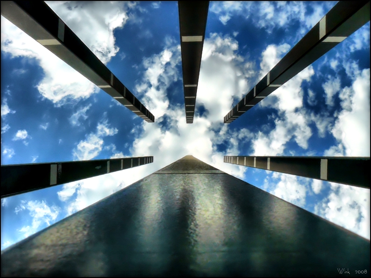
Things Are Looking Up
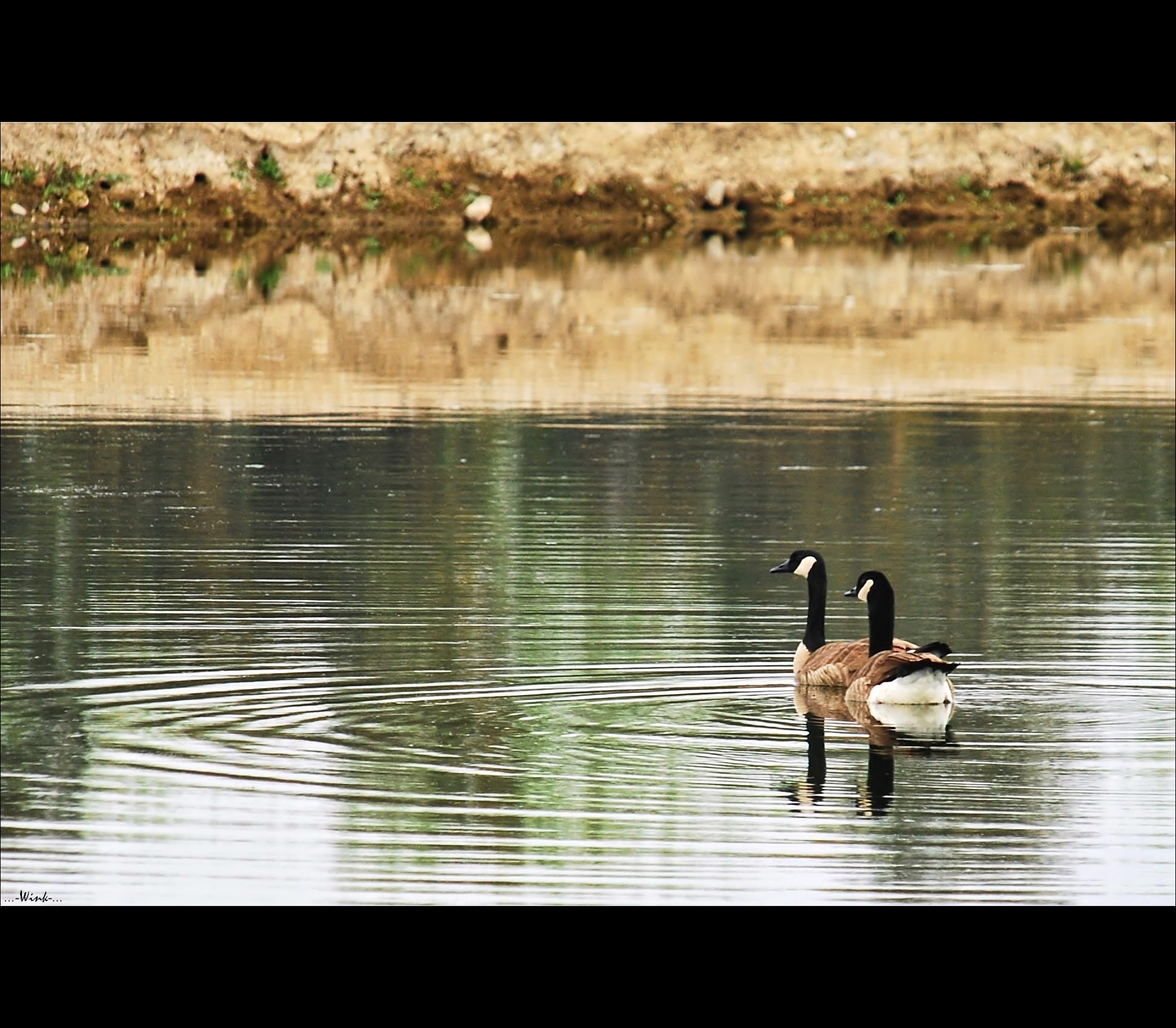
Goose me

PBJ...another view

Marine One - Side View
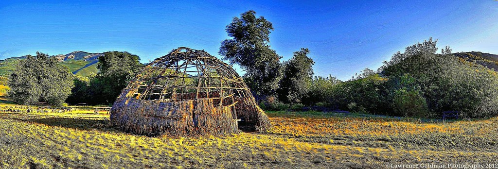
Panoramic Shot of the Chumash Home Replica Santa Monica Mountains National Recreation Area
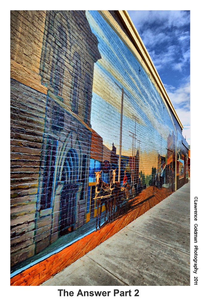
The Answer Part 2 hdr

View from the shores of lake mud puddle

Throwdown Response

Rudolph the Red Nosed Airplane

Colonel Russell Drosendahl, Commemorative Air Force, Southern California Wing, Camarillo Airport, California, January 2, 2010

Tractor Beams
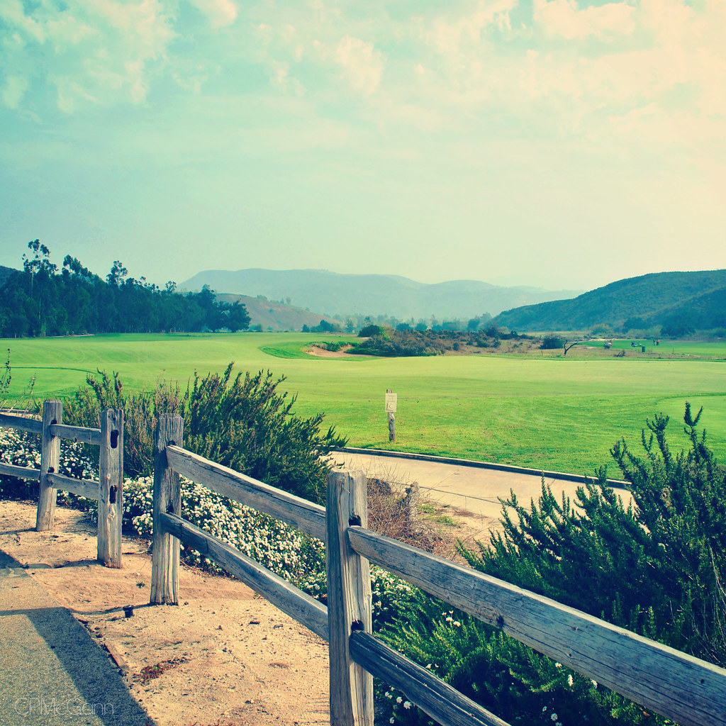
Lifestyles | Moorpark, CA | Rustic Canyon Golf Club

Beautiful Simi Valley.

Simi Valley.
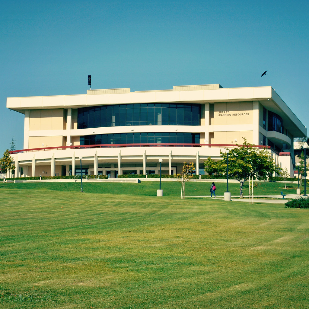
Lifestyles | Moorpark, CA | Moorpark College ~ Library
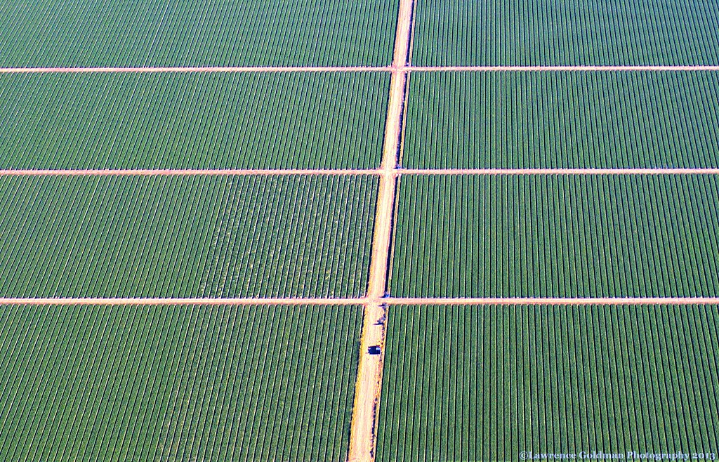
Rows of Green Veggies

Rancho Potrero Sunset
Lifestyles | Moorpark, CA | Moorpark College ~ Exotic Animal Training & Management Facility
Old Bitter Man

Golden State Grasslands

P-51 front view

Lunchtime | 12noon

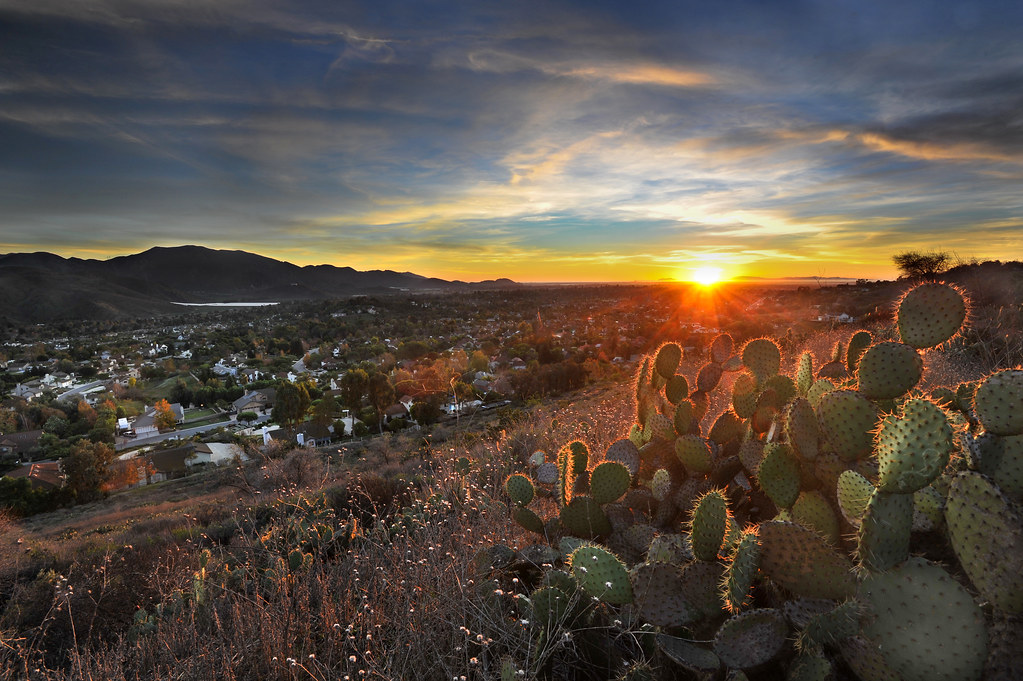
Does this sunset make you thorny?

Red Weekend

Camarillo Lupine Explosion

Palm Sunset

Scary Dairy Lupine
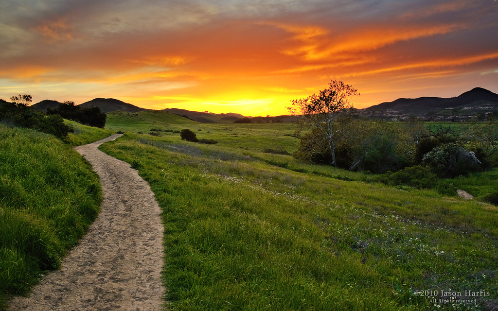
Path into the West

Ronald Reagan Presidential Library

Fog over the Corn Fields

Who Stole Fall?

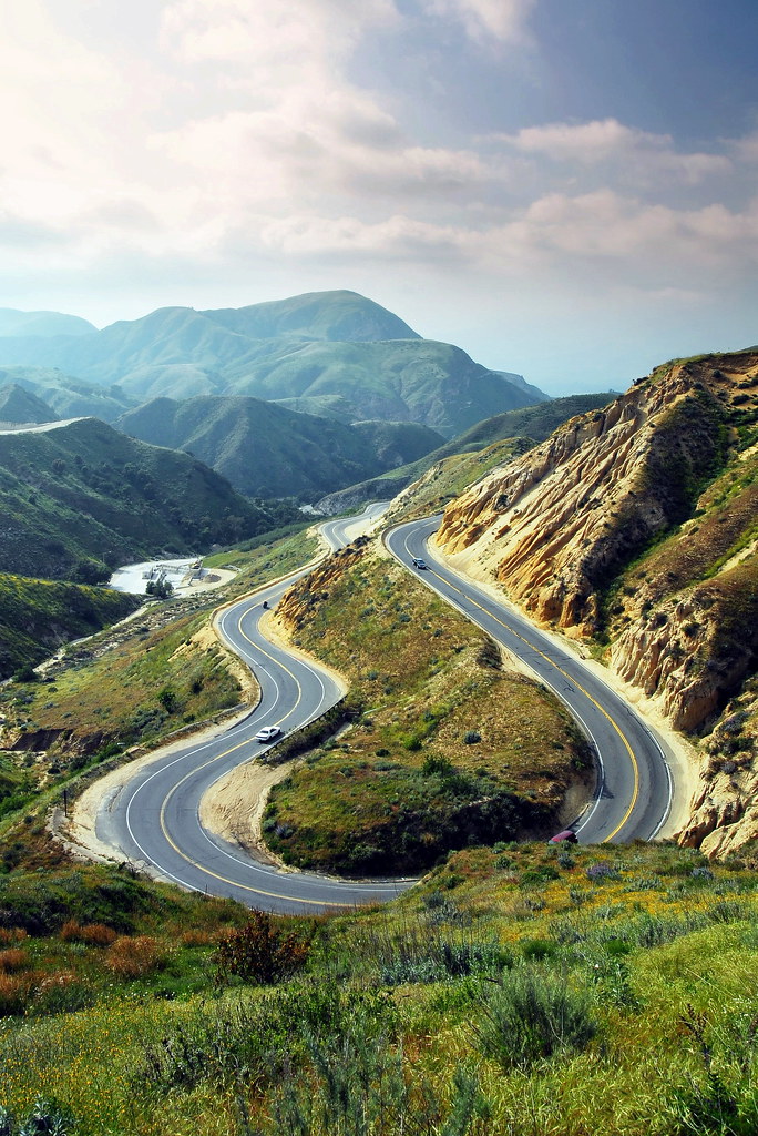
Grimes Canyon
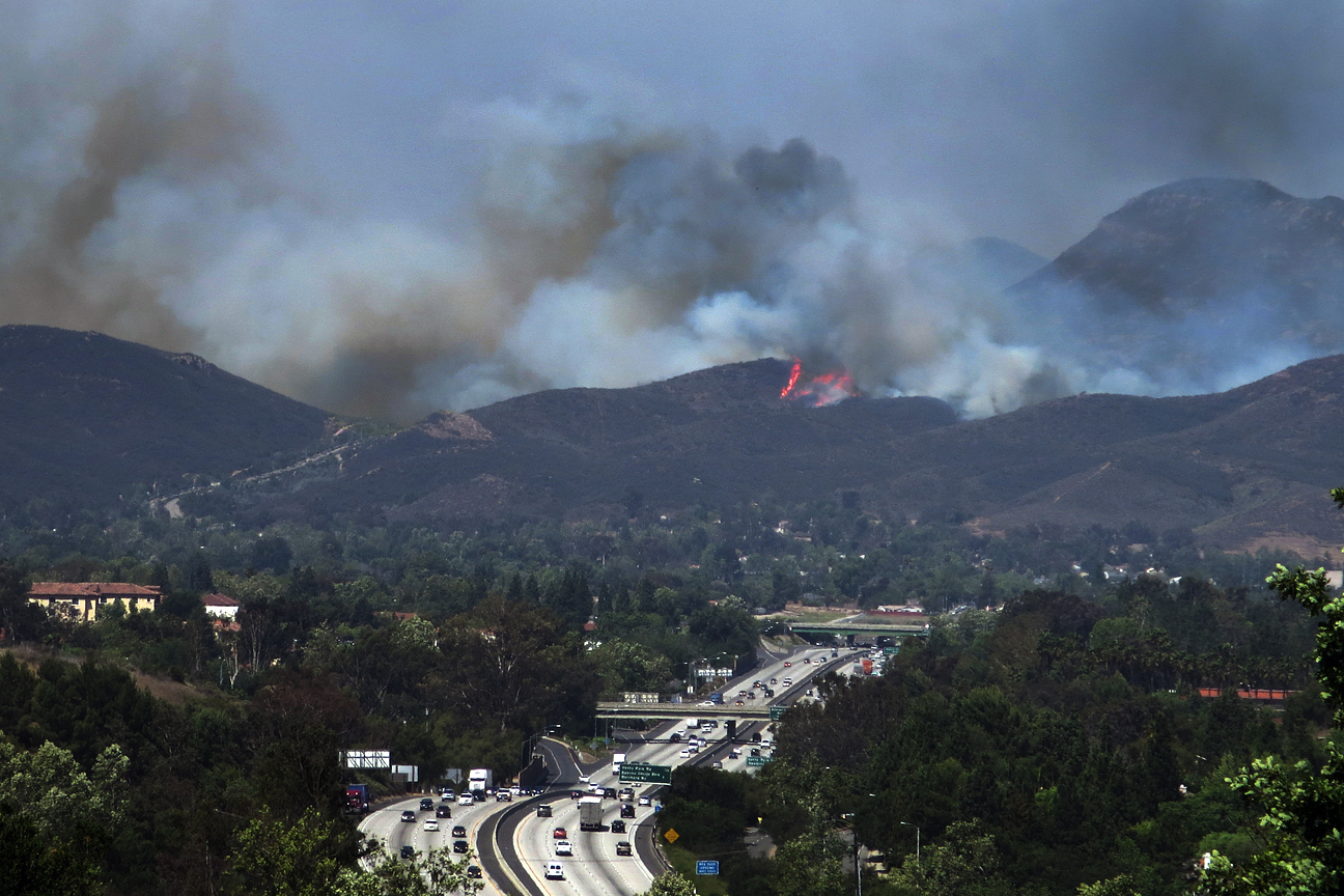
Springs Fire, Newbury Park May 2013

Sick of the Weekend
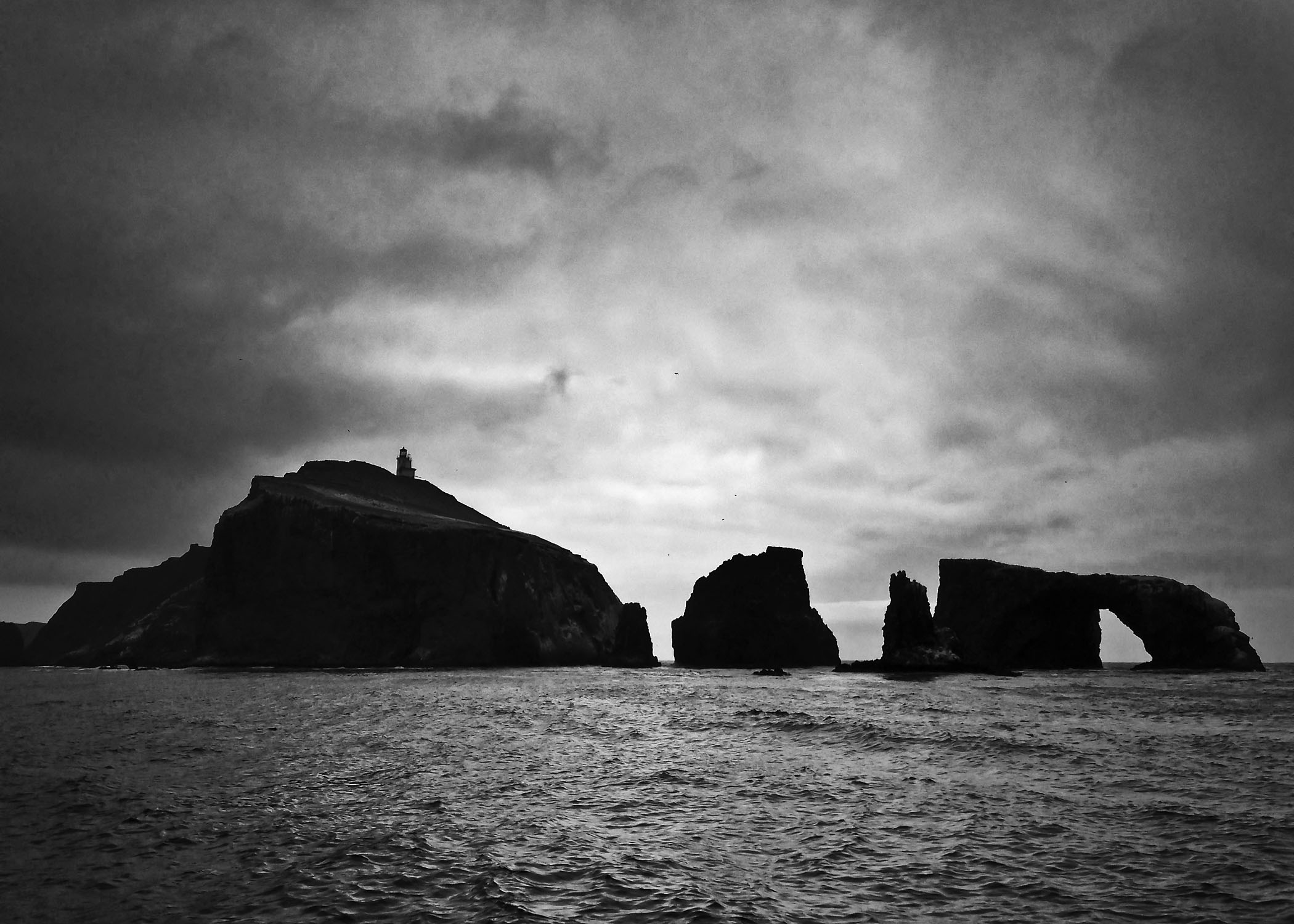
Anacapa Island
Once Upon a Time

Santa Rosa Tree

Majestic clouds
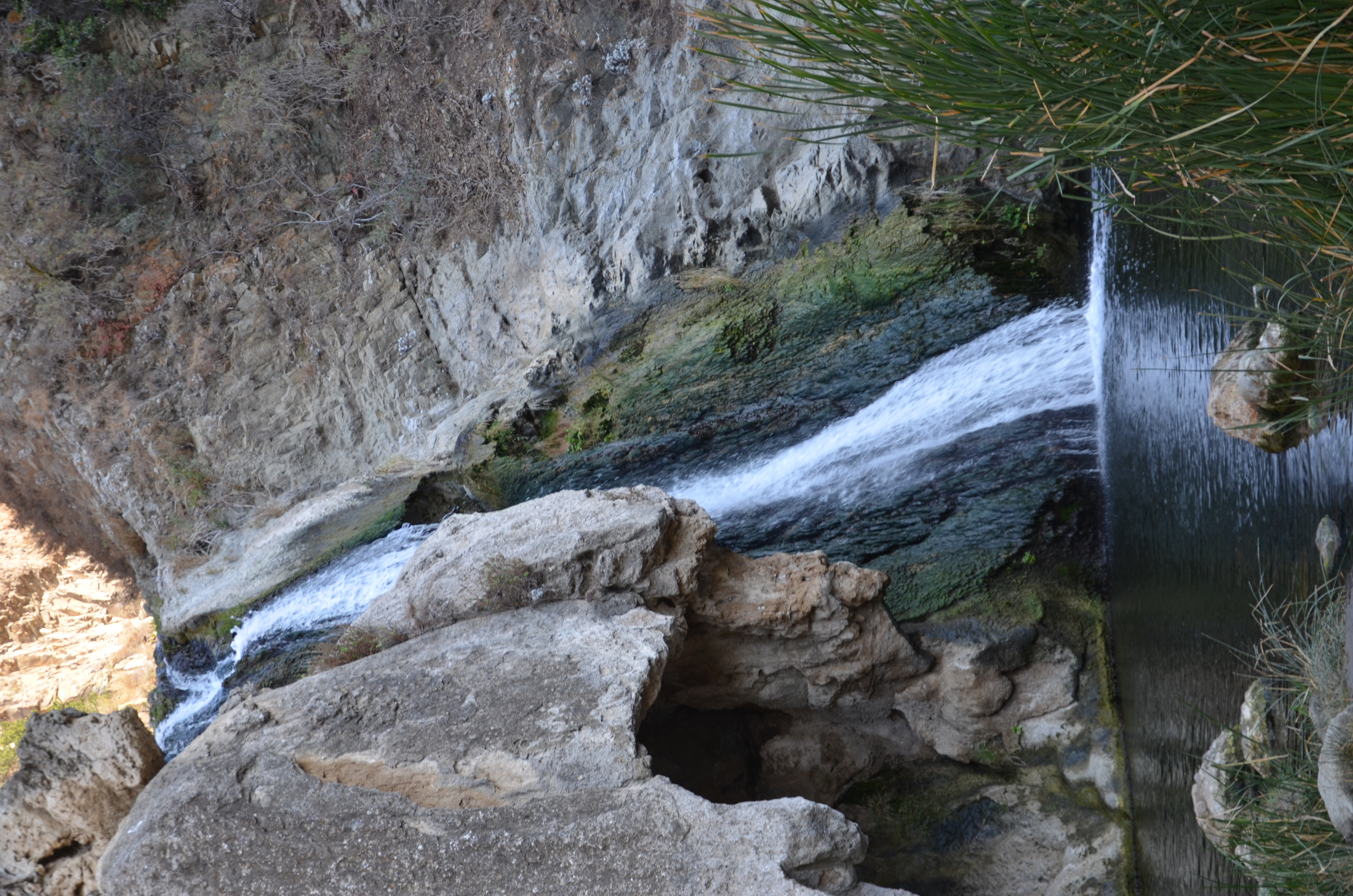
Paradise Falls

Would you like Mustard with that?
Paz! #califa
Topographic Map of Rice St, Somis, CA, USA
Find elevation by address:

Places near Rice St, Somis, CA, USA:
Somis
5995 Worth Way
5444 Butterfield St
4008 Parron St
Camarillo, CA, USA
33111 Village 33
Calle Fronte, Camarillo, CA, USA
425 Loma Dr
Village 24, Camarillo, CA, USA
2553 Bogart St
Las Posas Road
3767 Fountain St
34 Isabel Ave #94
Camarillo
6369 San Como Ln
1208 San Como Ln
1675 Edgewater Ln
289 E Los Angeles Ave
420 Valley Vista Dr
65 Los Angeles Ave
Recent Searches:
- Elevation of Congressional Dr, Stevensville, MD, USA
- Elevation of Bellview Rd, McLean, VA, USA
- Elevation of Stage Island Rd, Chatham, MA, USA
- Elevation of Shibuya Scramble Crossing, 21 Udagawacho, Shibuya City, Tokyo -, Japan
- Elevation of Jadagoniai, Kaunas District Municipality, Lithuania
- Elevation of Pagonija rock, Kranto 7-oji g. 8"N, Kaunas, Lithuania
- Elevation of Co Rd 87, Jamestown, CO, USA
- Elevation of Tenjo, Cundinamarca, Colombia
- Elevation of Côte-des-Neiges, Montreal, QC H4A 3J6, Canada
- Elevation of Bobcat Dr, Helena, MT, USA