Elevation of Rice Rd, Fallon, NV, USA
Location: United States > Nevada > Fallon >
Longitude: -118.81259
Latitude: 39.4891644
Elevation: 1214m / 3983feet
Barometric Pressure: 88KPa
Elevation Map:
Satellite Map:
Related Photos:

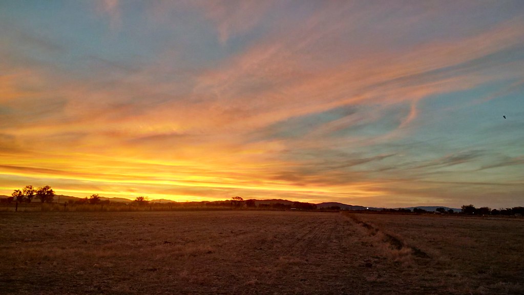
Glorious Sky

Pogonip: Fence, with Bird

F-4 Phantom at night - view 1
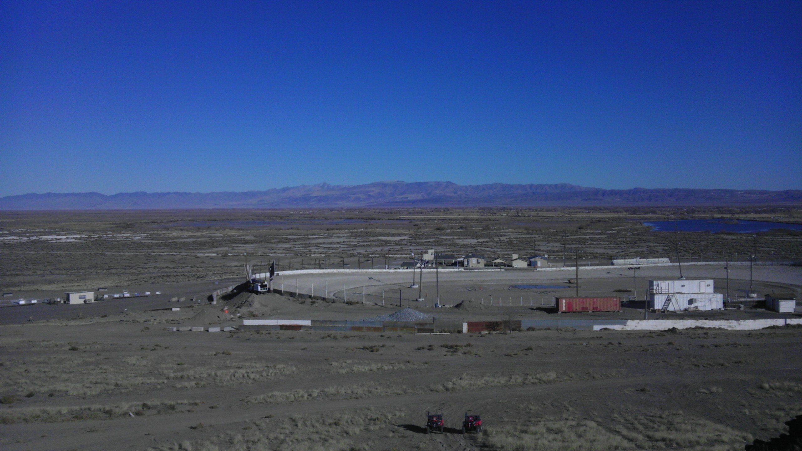
View in Fallon, NV
Fallon View

Irrigation Canal

Frosted Leaves

Big Sky

Early Snow on the Dead Camel Mountains

Pogonip: Cattails, Sagebrush, and Trees

Road to…?

Dead Camel Mountains

Pogonip: Obscurent Eum Caligo

Snow on the Stillwaters

Sunrise at the canal

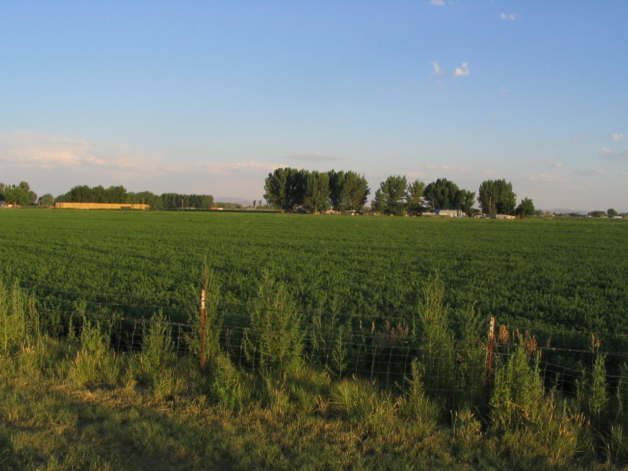
Farming Near The Mountains

Hazen ahead

Pogonip: Irrigation Canal

Pogonip: Sagebrush, Fence, Trees, and Utility Pole

20131229-Freezing Fog-17.jpg
IMG_20141108_165556_hdr.jpg

Pogonip: Tree

Pogonip: Sagebrush & Trees
U.S. Route 50 Near Fallon, Nevada
Topographic Map of Rice Rd, Fallon, NV, USA
Find elevation by address:

Places near Rice Rd, Fallon, NV, USA:
565 Gummow Dr
3260 Rice Rd
2333 W Williams Ave
Big R Stores
2333 Reno Hwy
Walmart Supercenter
2223 Sabrina Way
3003 Alcorn Rd
1140 Bon Accord Ln
Allen Road Storage
120 Industrial Way
West Williams Avenue
850 Hunter Park Way
1061 Sunset Dr
475 Sunrise Terrace
1330 Golden Park Way
1175 Golden Park Way
1250 Golden Park Way
1234 Golden Park Way
Carson River Drive
Recent Searches:
- Elevation of Congressional Dr, Stevensville, MD, USA
- Elevation of Bellview Rd, McLean, VA, USA
- Elevation of Stage Island Rd, Chatham, MA, USA
- Elevation of Shibuya Scramble Crossing, 21 Udagawacho, Shibuya City, Tokyo -, Japan
- Elevation of Jadagoniai, Kaunas District Municipality, Lithuania
- Elevation of Pagonija rock, Kranto 7-oji g. 8"N, Kaunas, Lithuania
- Elevation of Co Rd 87, Jamestown, CO, USA
- Elevation of Tenjo, Cundinamarca, Colombia
- Elevation of Côte-des-Neiges, Montreal, QC H4A 3J6, Canada
- Elevation of Bobcat Dr, Helena, MT, USA