Elevation map of Rhône
Longitude: 5.37265120
Latitude: 44.7719843
Elevation: 500m / 1640feet
Barometric Pressure: 95KPa
Elevation Map:
Satellite Map:
Related Photos:
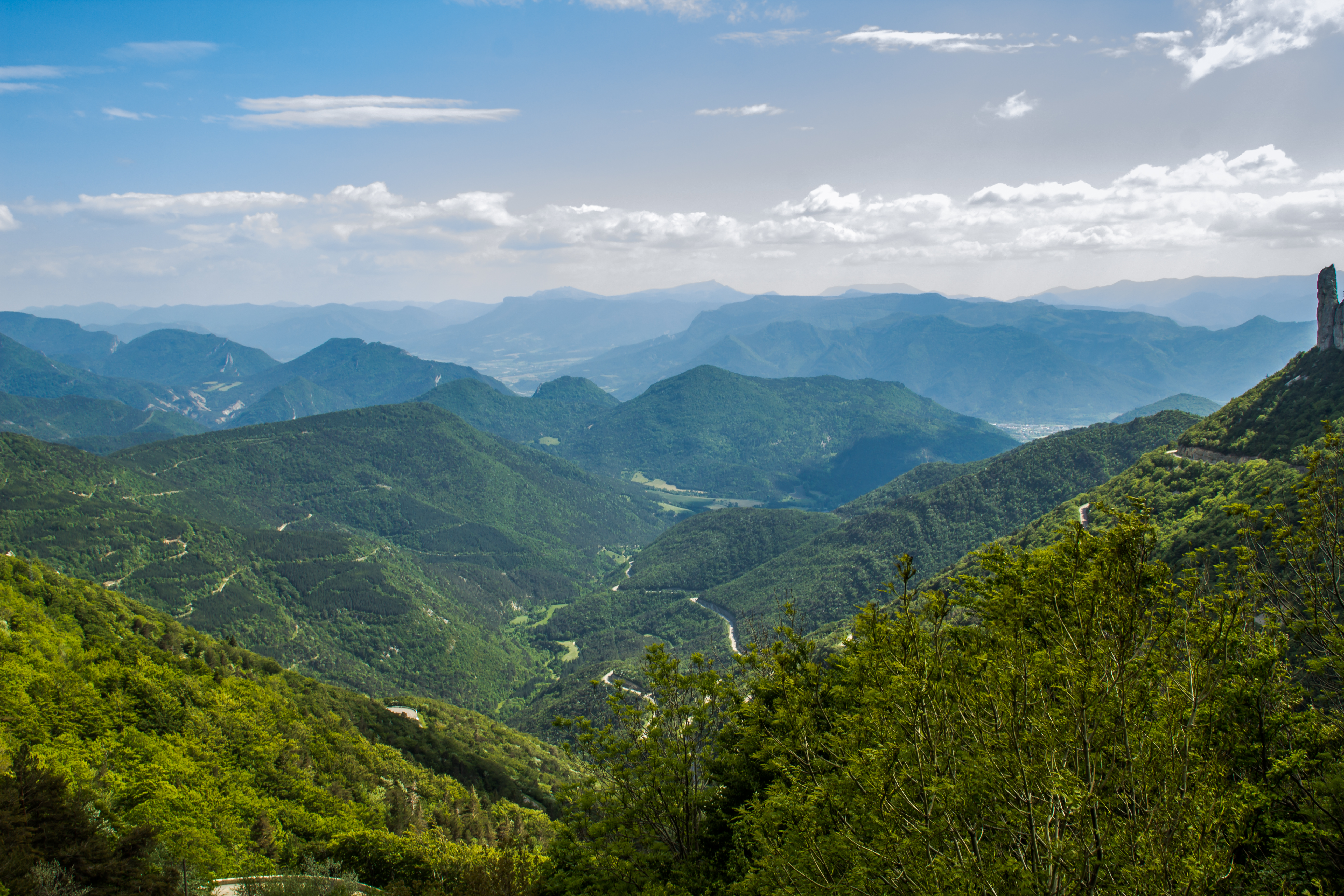
Col du rousset - Alps / la Drome. Alpes Françaises
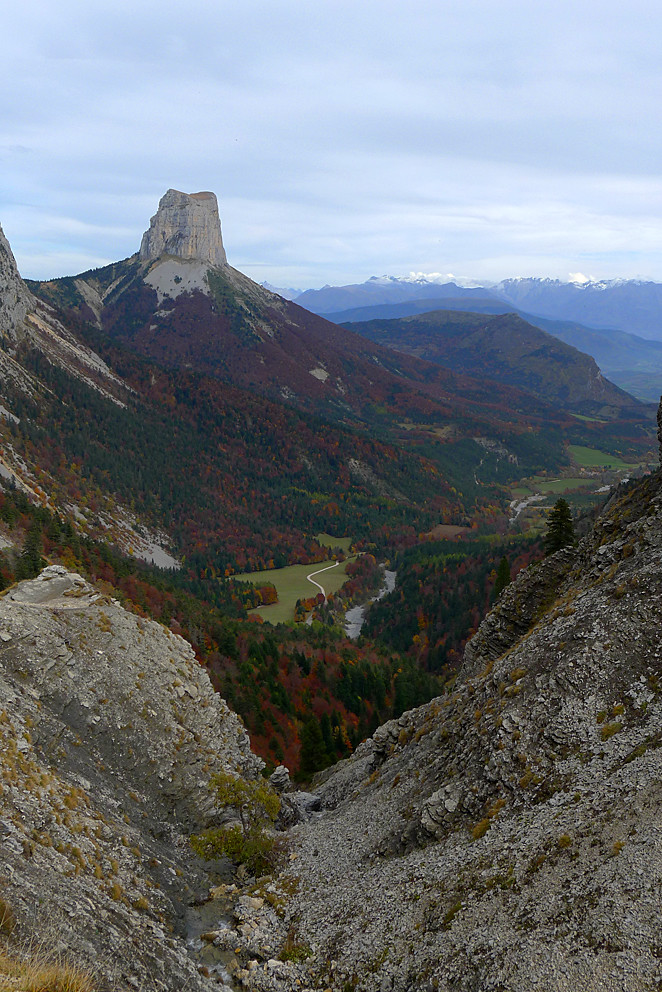
A view to Mont Aiguille
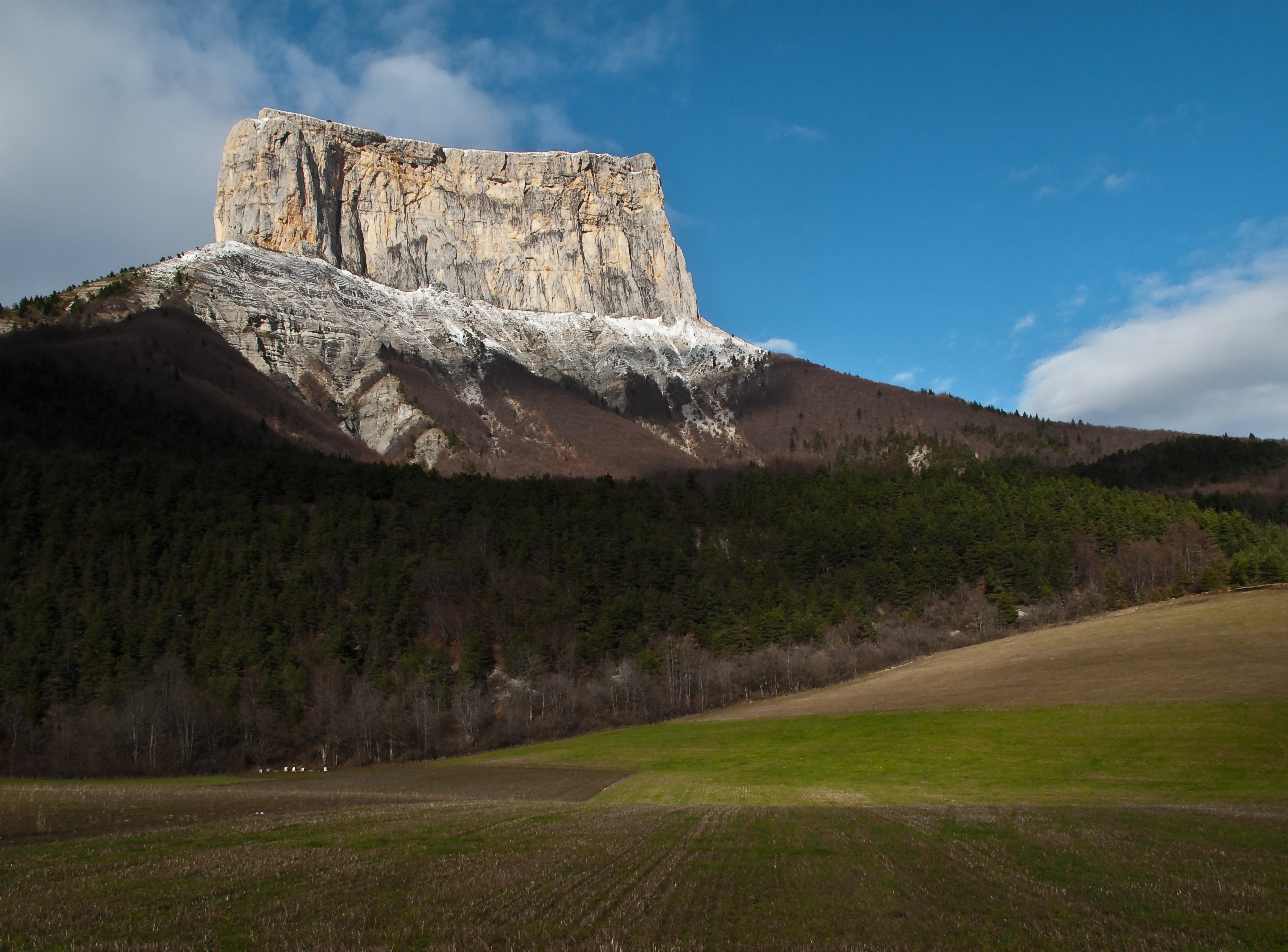
Mont-Aiguille
Topographic Map of Rhône
Find elevation by address:

Places near Rhône:
Chemin Des Batets
Die
Pont Neuf
Romeyer
14 Pont-de-Quart, Aix-en-Diois, France
Aix-en-diois
Barnave
88 Le Village, Barnave, France
Châtillon-en-diois
Font D'urle
Drome
Menée
Treschenu-creyers
Bouvante
Grand Veymont
Mont Aiguille
La Lauzette
Chichilianne
Château Vieux
Boulc
Recent Searches:
- Elevation of Corso Fratelli Cairoli, 35, Macerata MC, Italy
- Elevation of Tallevast Rd, Sarasota, FL, USA
- Elevation of 4th St E, Sonoma, CA, USA
- Elevation of Black Hollow Rd, Pennsdale, PA, USA
- Elevation of Oakland Ave, Williamsport, PA, USA
- Elevation of Pedrógão Grande, Portugal
- Elevation of Klee Dr, Martinsburg, WV, USA
- Elevation of Via Roma, Pieranica CR, Italy
- Elevation of Tavkvetili Mountain, Georgia
- Elevation of Hartfords Bluff Cir, Mt Pleasant, SC, USA