Elevation of Reynolds, IL, USA
Location: United States > Illinois > Rock Island County > Edgington Township >
Longitude: -90.670416
Latitude: 41.3297558
Elevation: 247m / 810feet
Barometric Pressure: 98KPa
Elevation Map:
Satellite Map:
Related Photos:
camden 12 view from tee
IMG_9658.JPG
The Hunt For SOO 2

Series IV-25B
Storm clouds

St. Mary Monastery | Rock Island, IL | John Van Dyke - SSV

Rainbow barn-Lomoish effect
Series IV-25B
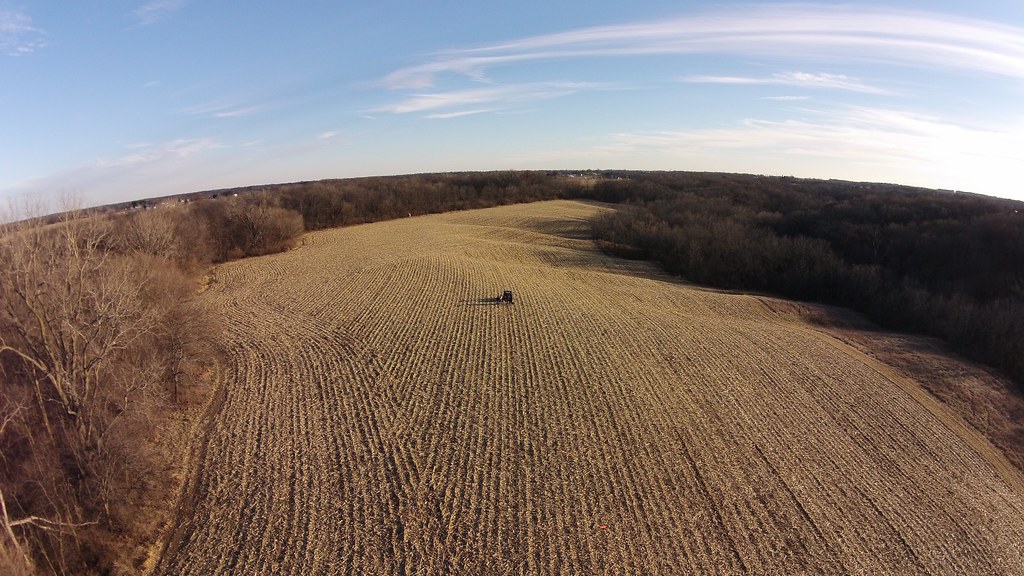
The back eighty
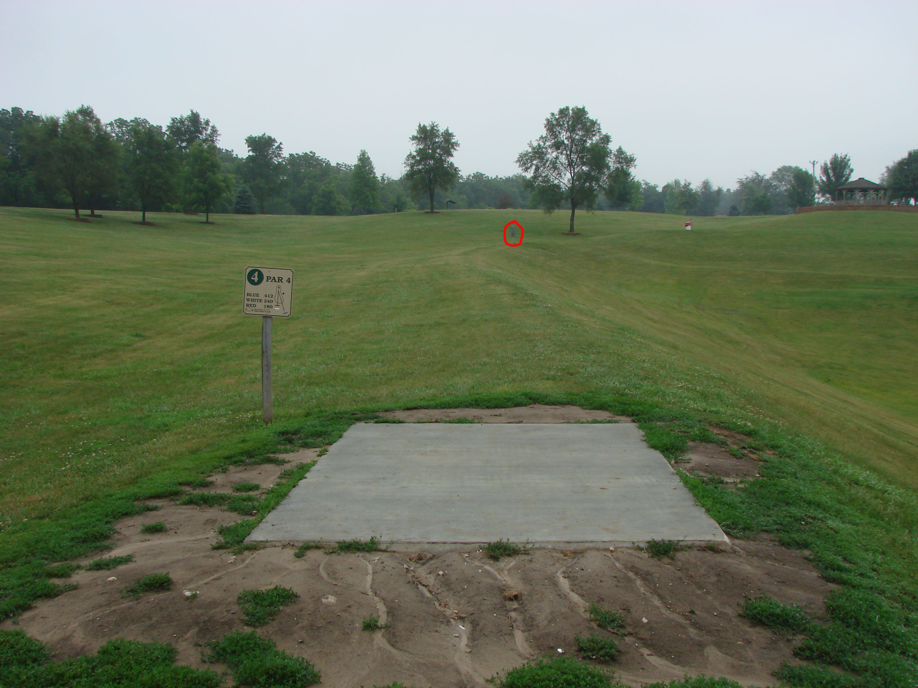
camden 4
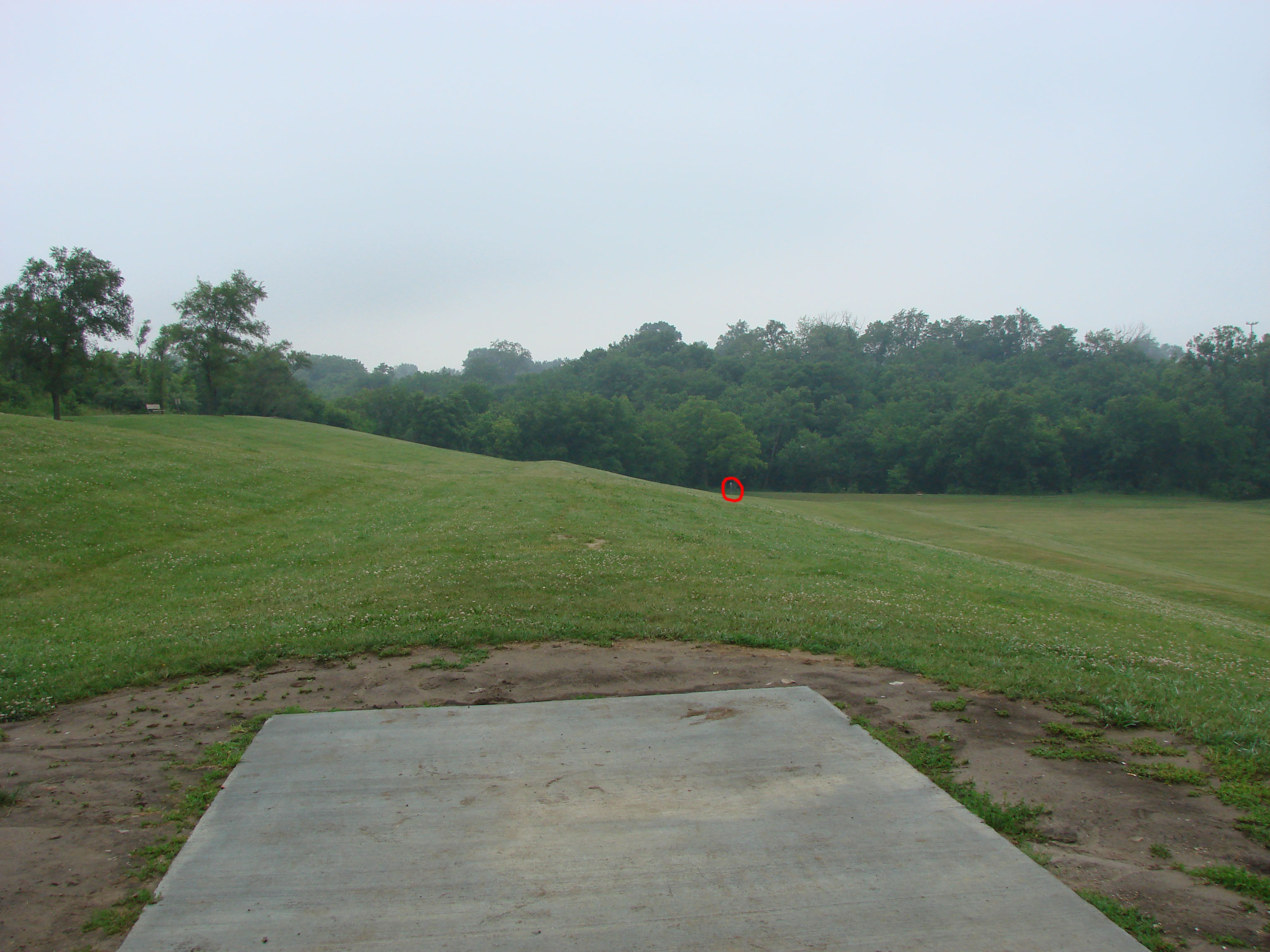
camden 5
camden 10

- 08864

Day 14: Preparing to run the barge gauntlet

Day 14: Vultures enjoying a day at the beach near Buffalo, IA
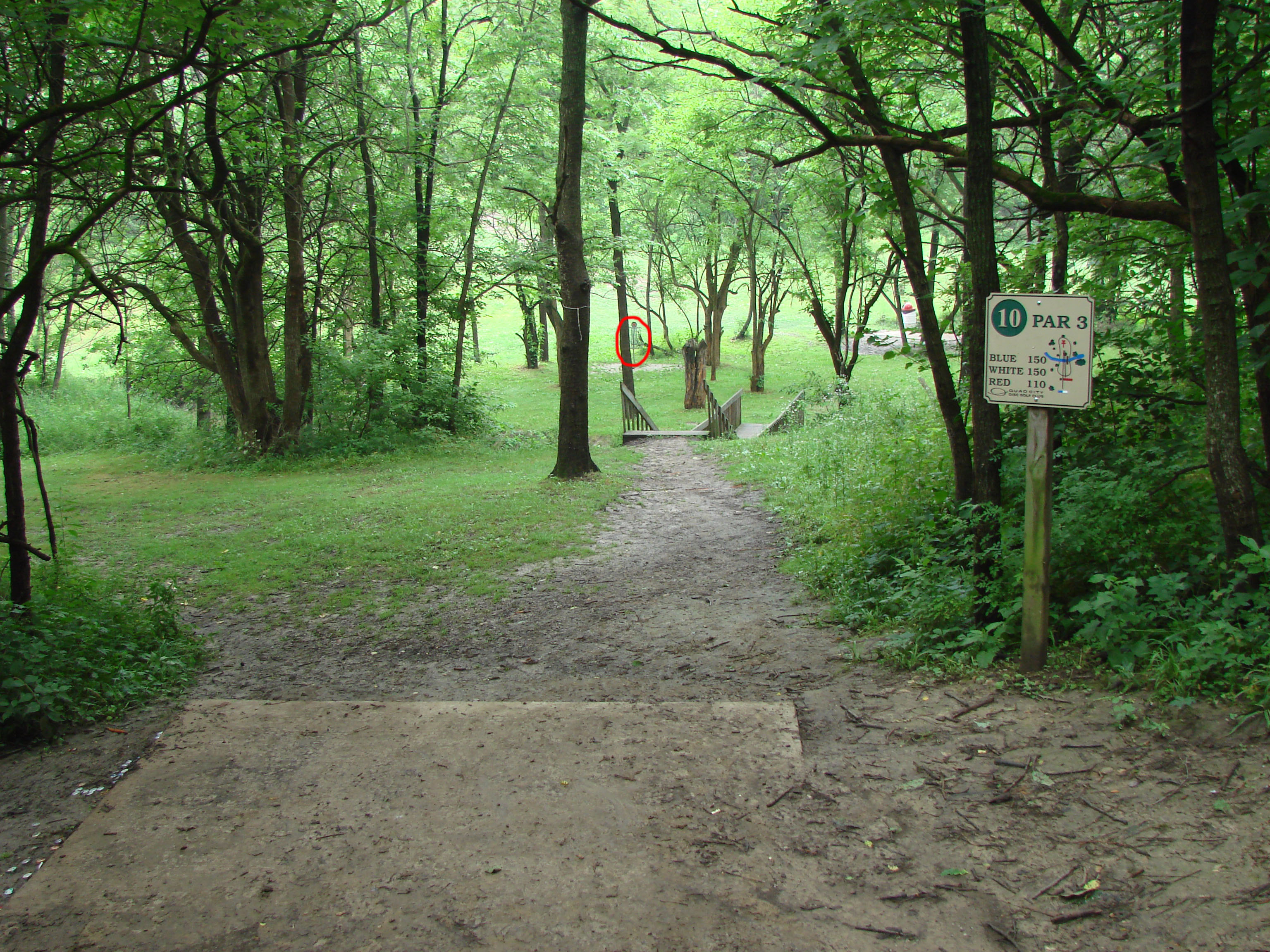
camden 14 hole
The Farm
Mississipi River
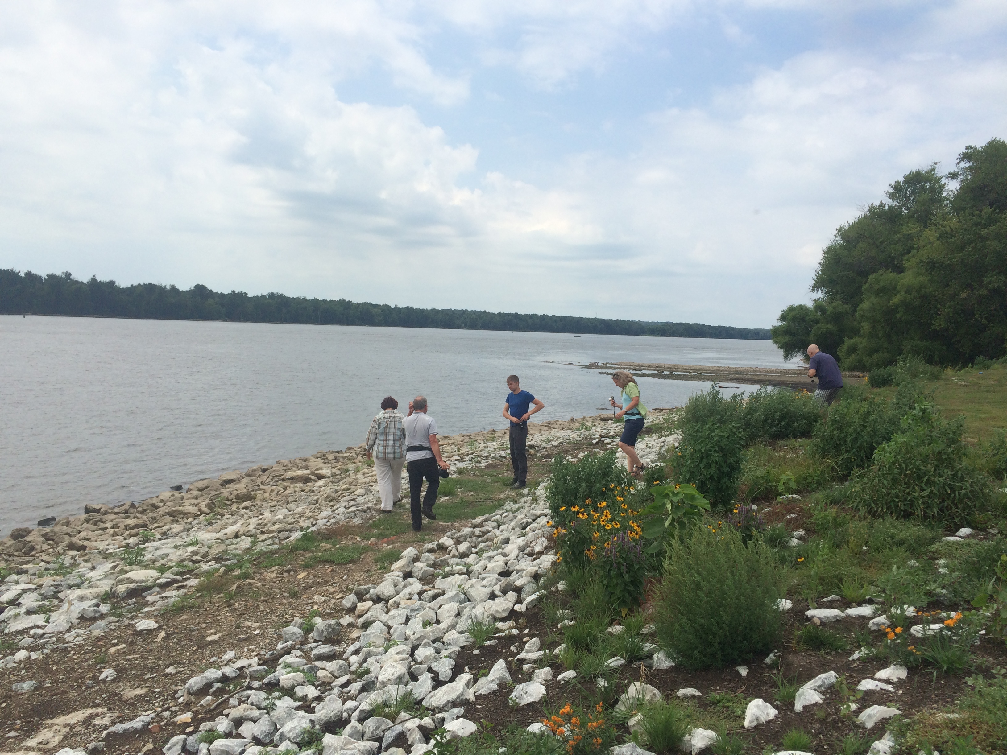
Mississipi River
Topographic Map of Reynolds, IL, USA
Find elevation by address:

Places in Reynolds, IL, USA:
Places near Reynolds, IL, USA:
W Main St, Reynolds, IL, USA
Taylor Ridge
th Ave, Aledo, IL, USA
Bowling Township
Milan Rifle Club Inc
9221 51st St W
th Ave W, Milan, IL, USA
9915 Ridgewood Rd
8900 Ridgewood Rd
Rock Island County
Coyne Center Rd, Milan, IL, USA
Coyne Center
301 E Front St
301 E Front St
East Front Street
Oregon St, Davenport, IA, USA
Blackhawk Township
1200 2nd Ave W
1st St E, Milan, IL, USA
56th Ave W, Milan, IL, USA
Recent Searches:
- Elevation of Lampiasi St, Sarasota, FL, USA
- Elevation of Elwyn Dr, Roanoke Rapids, NC, USA
- Elevation of Congressional Dr, Stevensville, MD, USA
- Elevation of Bellview Rd, McLean, VA, USA
- Elevation of Stage Island Rd, Chatham, MA, USA
- Elevation of Shibuya Scramble Crossing, 21 Udagawacho, Shibuya City, Tokyo -, Japan
- Elevation of Jadagoniai, Kaunas District Municipality, Lithuania
- Elevation of Pagonija rock, Kranto 7-oji g. 8"N, Kaunas, Lithuania
- Elevation of Co Rd 87, Jamestown, CO, USA
- Elevation of Tenjo, Cundinamarca, Colombia