Elevation of Revadim, Israel
Location: Israel > South District > Ashkelon >
Longitude: 34.814807
Latitude: 31.773966
Elevation: 92m / 302feet
Barometric Pressure: 100KPa
Elevation Map:
Satellite Map:
Related Photos:

Syrian Woodpecker

Rose-ringed Parakeet (Female)

City view

Wide field view

View tower near Jerusalem

The view from Tel-Azekah

bee-ware B

Rehovot view, Rehovot 8th May 2019

The view from Tel-Azekah

Israel Police Heritage Centre

Hulda scenic views-008

1. landing

3. takoff

Hoopoe (Abubilla)
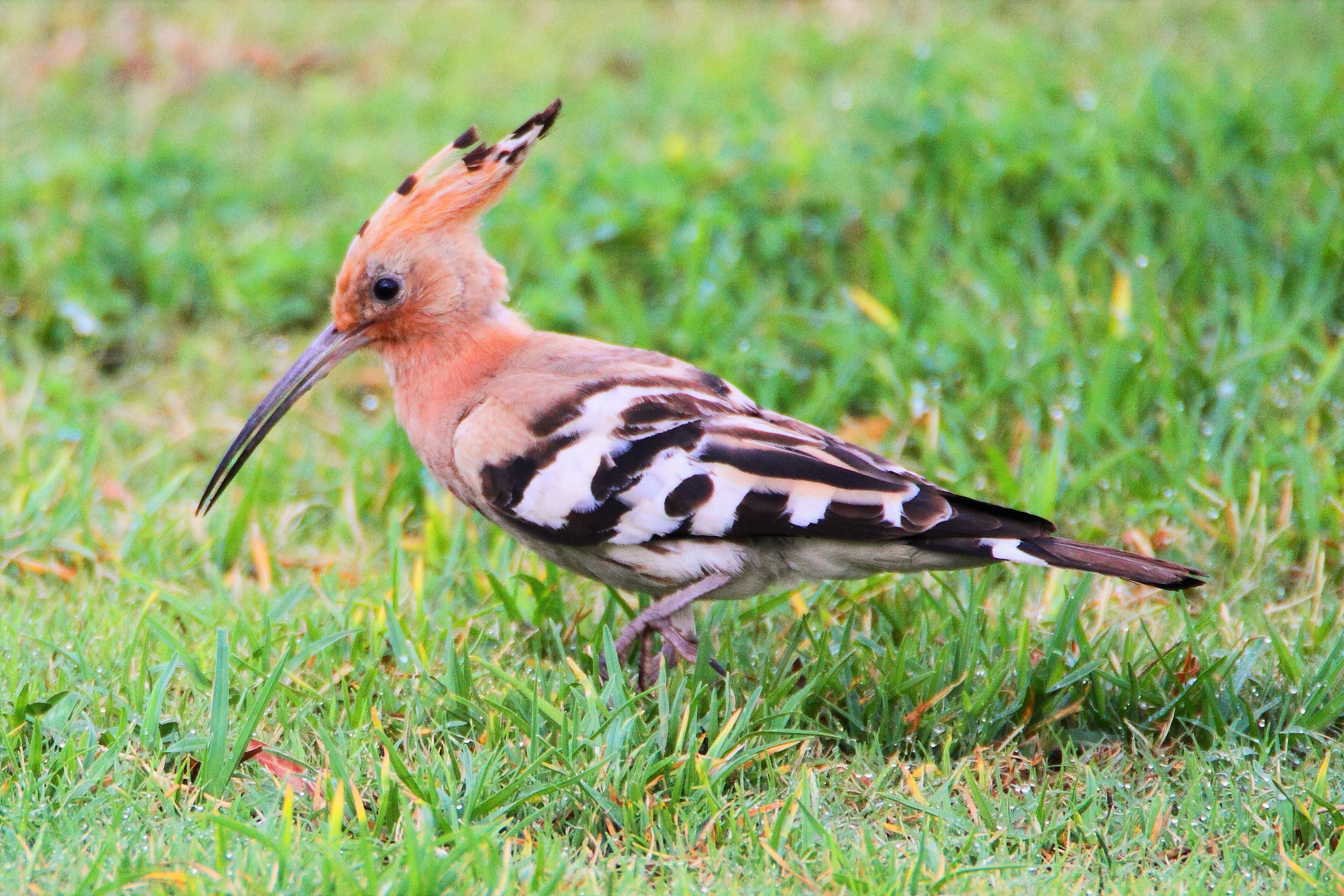
Hoopoe (Abubilla)

Rose-ringed Parakeet (Female) and the Bee

Hooded Crow (Corvus cornix)

Common Myna

Hooded Crow (Corvus cornix)

Hulda scenic views-007

סוף החודש עם נגה וצדק. View from home. #moon #venus #jupiter #sunset

Sunset Hill

Field and landscape

Wild flowers field - Road 40

#armageddon #valleyofellah

Sunset from my Backyard

Railway From Lod to Jerusalem

Panoramic view

Looking north-east from Beth Shemesh

Hulda scenic views-009

Mammatus clouds

"להתעורר בבוקר, להוציא את הבקר, לחזור בערב לגלות שקר כי החיים לא קלים בכפר, חיים קשים בכפר." (אני טקסט פוליטי / נושאי המגבעת)

Hulda scenic views-001

Hulda scenic views-006

Last sky to 2018

African Babul Blue - Azanus jesous

Wadi Arugot (Ein Gedi Nature Reserve, Dead Sea Region) #travel #tourism #israel #israelinstagram #israel_photographers #insta_israel #deadsea ручей Аругот, природный заповедник Эйн Геди, район Мертвого моря, Израиль.
Topographic Map of Revadim, Israel
Find elevation by address:

Places near Revadim, Israel:
Al-'azi
Tell Es-safi
Judean Foothills
Valley Of Elah
Hanurit Street
Bet Shemesh
Ramat Beit Shemesh
Jerusalem District
Nachal Tze'elim Ave 7
Yechezkel Hanavi St 22
Sfat Emet St 29
Yona Ben Amitai Street
Yona Ben Amitai Street
Yona Ben Amitai St 49
Nachal Timna Street
Valley Of Elah (terebinths)
Aderet
Israel National Trail
Mata
Bar Giora
Recent Searches:
- Elevation of Elwyn Dr, Roanoke Rapids, NC, USA
- Elevation of Congressional Dr, Stevensville, MD, USA
- Elevation of Bellview Rd, McLean, VA, USA
- Elevation of Stage Island Rd, Chatham, MA, USA
- Elevation of Shibuya Scramble Crossing, 21 Udagawacho, Shibuya City, Tokyo -, Japan
- Elevation of Jadagoniai, Kaunas District Municipality, Lithuania
- Elevation of Pagonija rock, Kranto 7-oji g. 8"N, Kaunas, Lithuania
- Elevation of Co Rd 87, Jamestown, CO, USA
- Elevation of Tenjo, Cundinamarca, Colombia
- Elevation of Côte-des-Neiges, Montreal, QC H4A 3J6, Canada