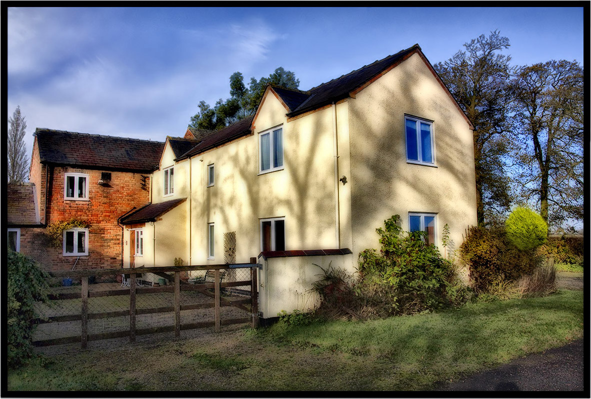
Elevation of Retrent Farm Cottage, 46 Main St, Willoughby Waterleys, Leicester LE8 6UF, UK
Location: United Kingdom > Leicestershire > Willoughby Waterleys >
Longitude: -1.1535302
Latitude: 52.5269664
Elevation: 103m / 338feet
Barometric Pressure: 100KPa
Elevation Map:
Satellite Map:
Related Photos:

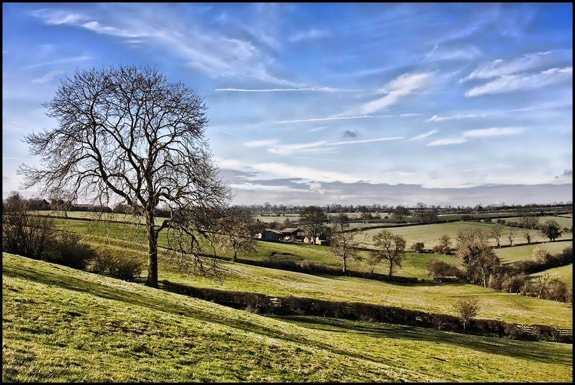
15 - 46.

Winter farm yard.

The Path.
A Footpath.
Under The Clouds.

Country Lane.
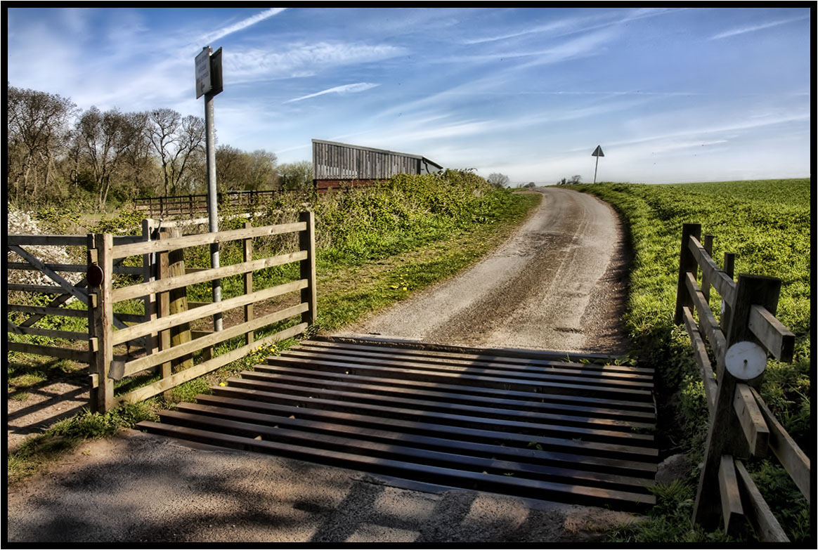
The Cattle Grid.

The Old Farm.

My Morning Walk.

Country Lane

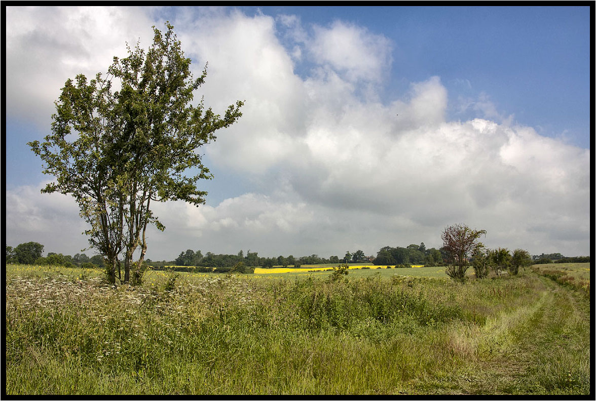
Across the fields.

The Prevailing Wind.
The Bridleway.
Tree Shadows.

The Hump................

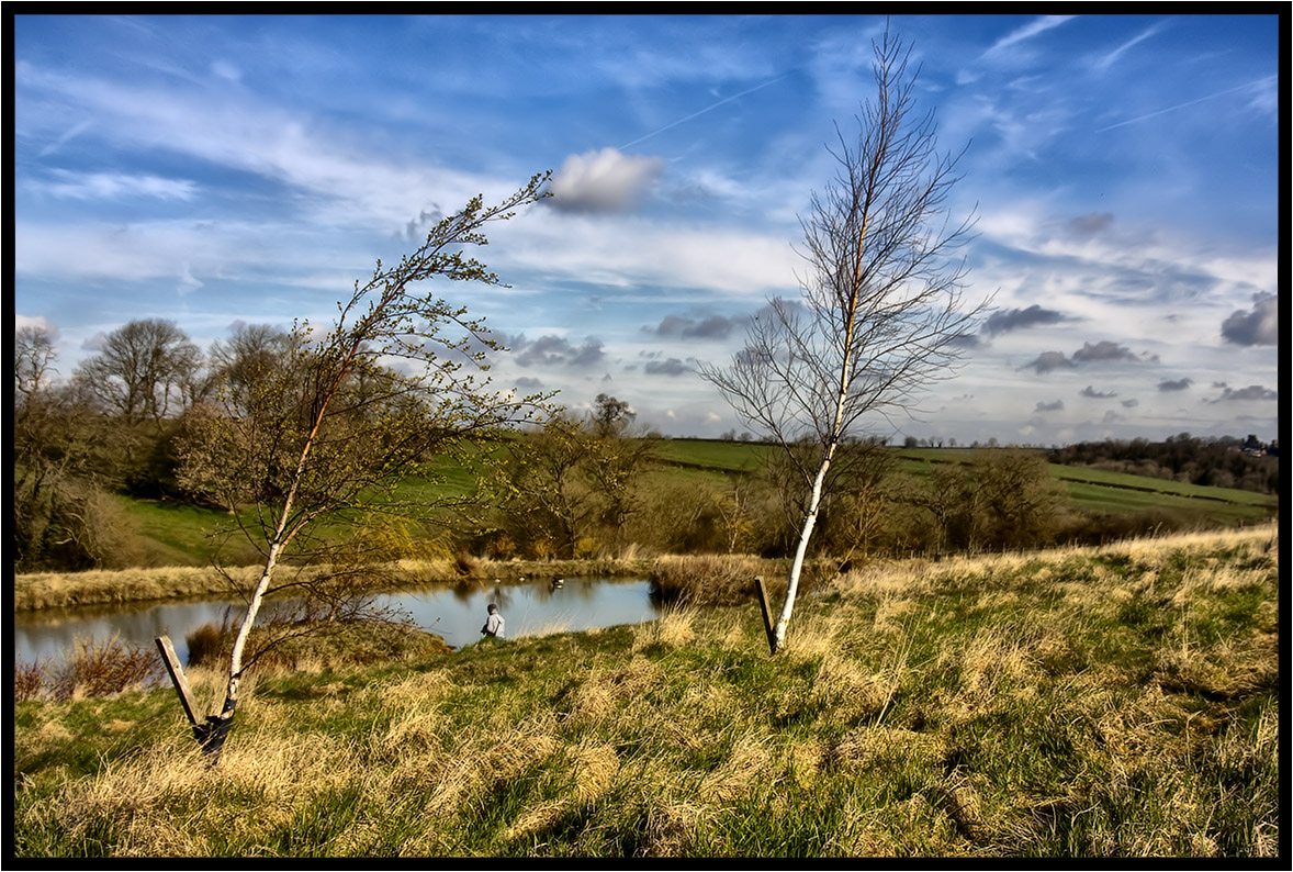
The runner.
A Light Breeze.

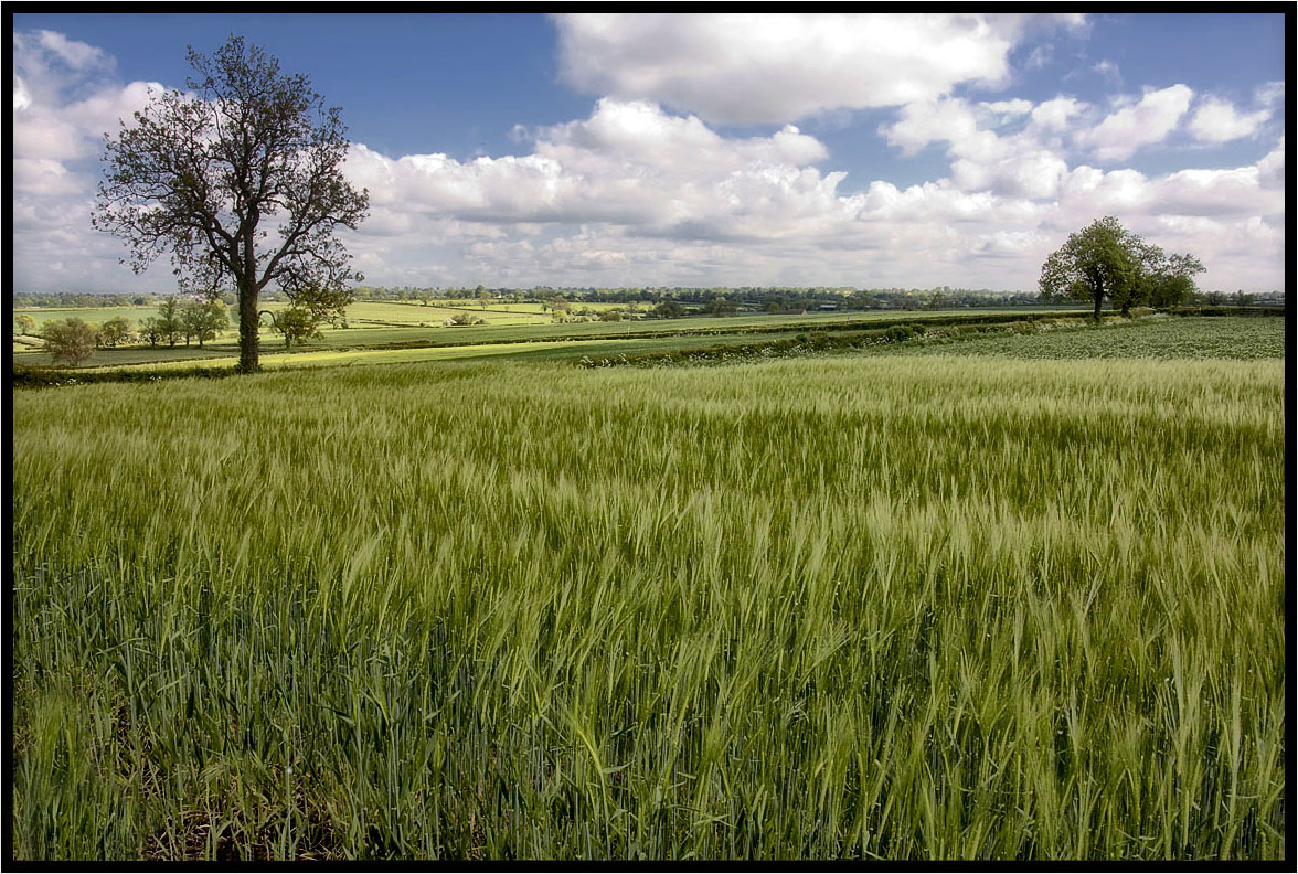
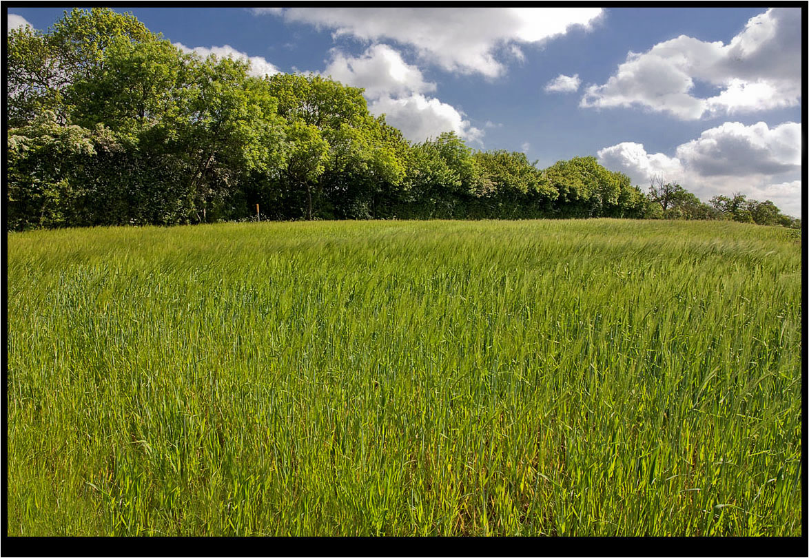
The Young Crop.
Two Crows.
The Photographer.

The Trees.

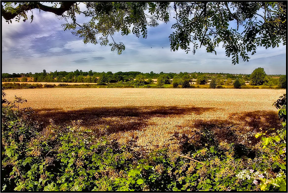
That field again.

Autumnal 10
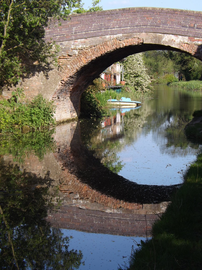
Canal Bridge reflection
The Lonely One.

Country Lane.
Across The Fields 2.

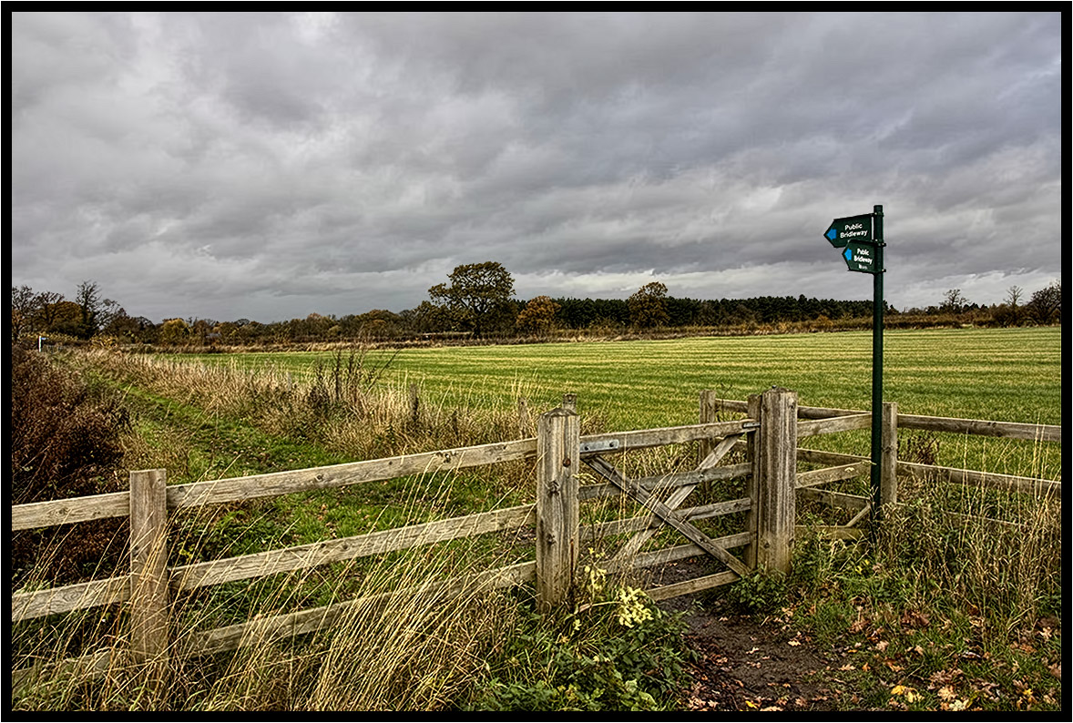
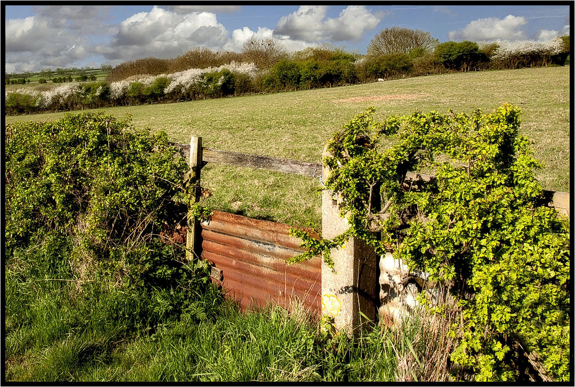
The Footpath Gate.
New woodland.
South Leicester-shire.

The Water Trough

Grand Union Canal, Wistow, Leicestershire
Topographic Map of Retrent Farm Cottage, 46 Main St, Willoughby Waterleys, Leicester LE8 6UF, UK
Find elevation by address:

Places near Retrent Farm Cottage, 46 Main St, Willoughby Waterleys, Leicester LE8 6UF, UK:
Willoughby Waterleys
Gilmorton
Lutterworth Road
Wigston
Lutterworth
Mere Road
73 Ave Rd Ext, Leicester LE2 3EP, UK
Walnut Street
Le1 7rh
Blossom Road
M1
Wistow
Leicester Railway Station
Leicester
Leicester
Le1 1sp
Malham Way
Mere Road
The Cottage
Kingsbury House
Recent Searches:
- Elevation of Kreuzburger Weg 13, Düsseldorf, Germany
- Elevation of Gateway Blvd SE, Canton, OH, USA
- Elevation of East W.T. Harris Boulevard, E W.T. Harris Blvd, Charlotte, NC, USA
- Elevation of West Sugar Creek, Charlotte, NC, USA
- Elevation of Wayland, NY, USA
- Elevation of Steadfast Ct, Daphne, AL, USA
- Elevation of Lagasgasan, X+CQH, Tiaong, Quezon, Philippines
- Elevation of Rojo Ct, Atascadero, CA, USA
- Elevation of Flagstaff Drive, Flagstaff Dr, North Carolina, USA
- Elevation of Avery Ln, Lakeland, FL, USA