Elevation of Retalhuleu, Guatemala
Location: Guatemala >
Longitude: -91.753881
Latitude: 14.372734
Elevation: 66m / 217feet
Barometric Pressure: 101KPa
Elevation Map:
Satellite Map:
Related Photos:
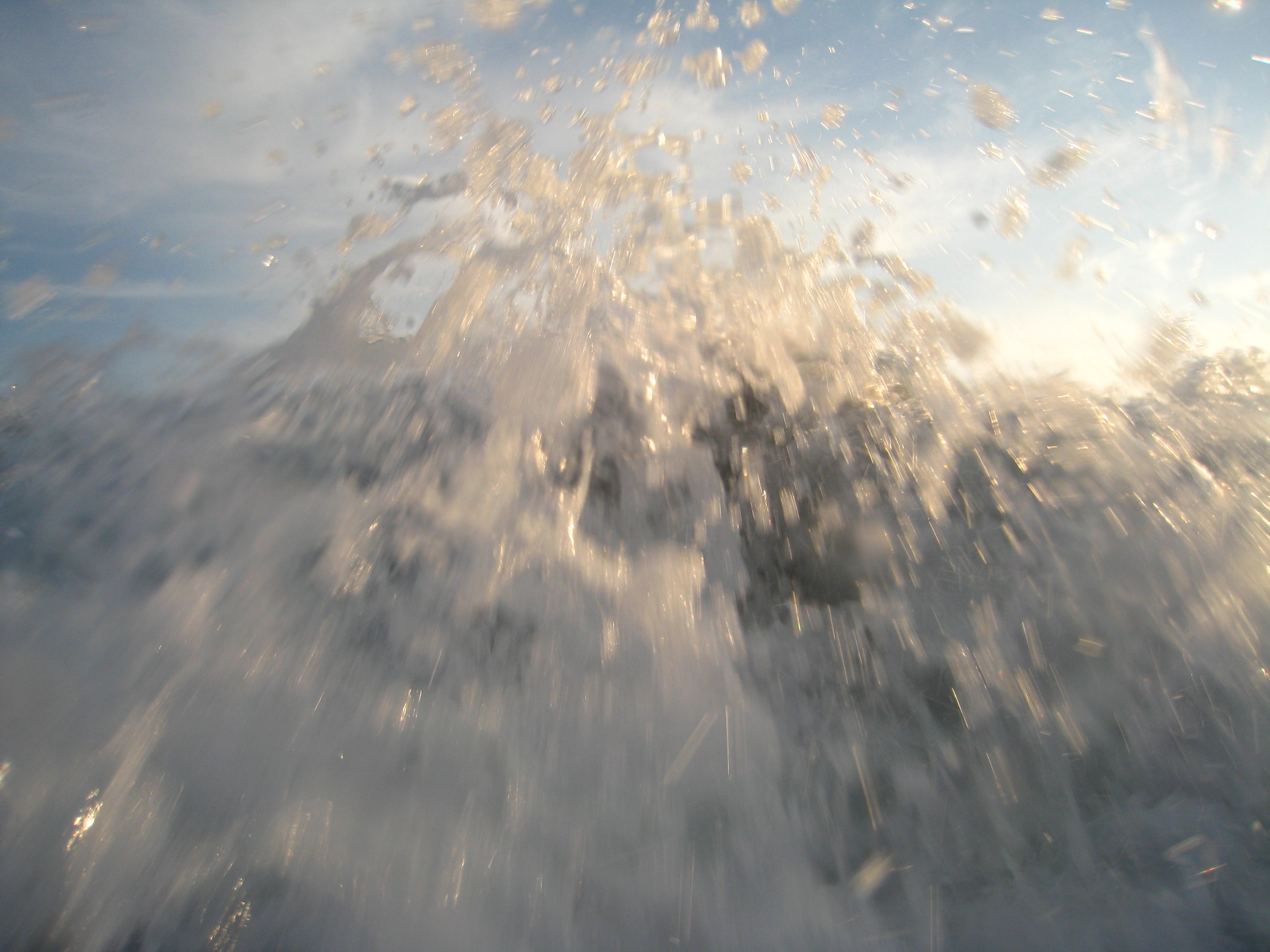
wave running
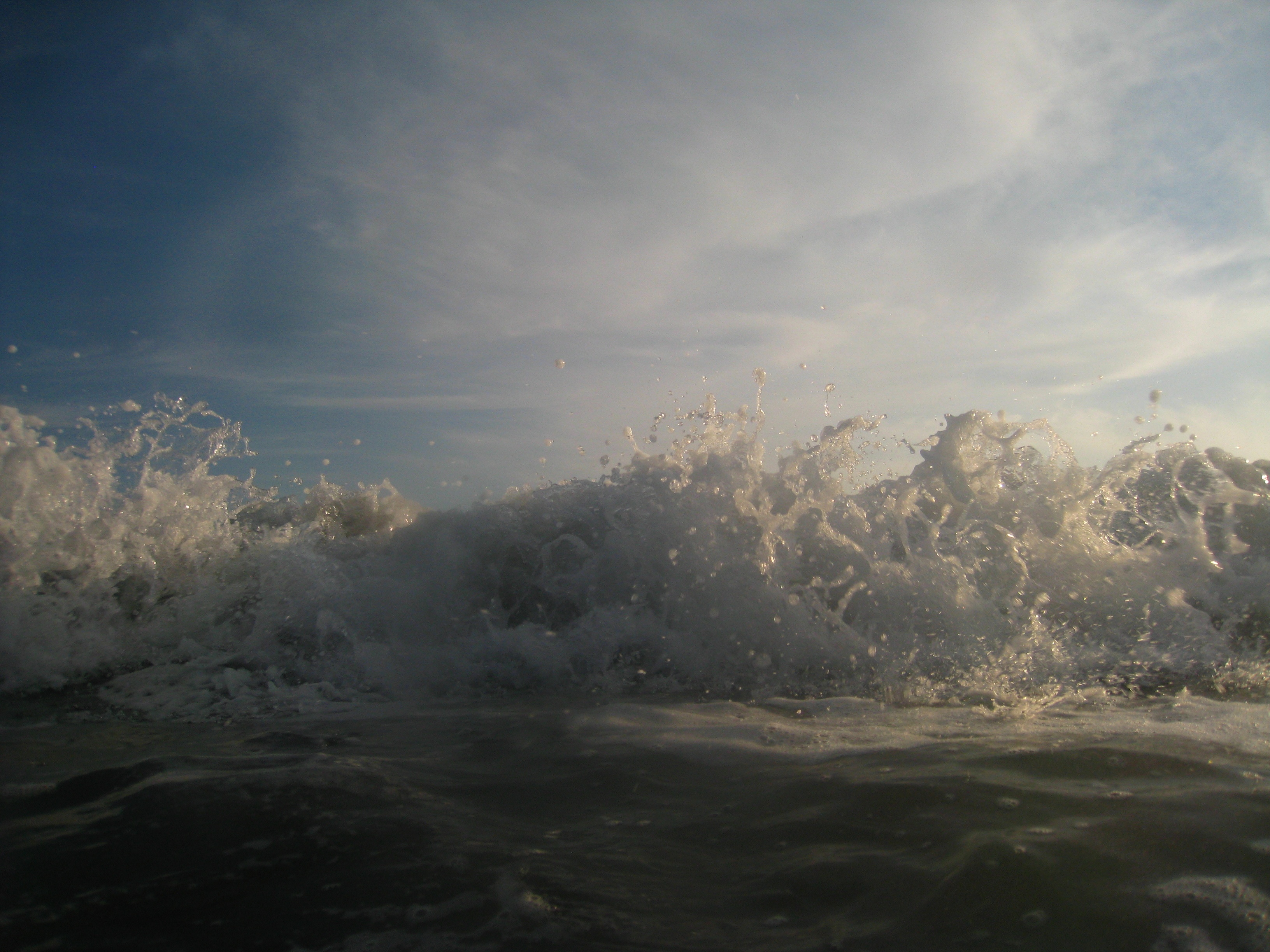
wave crashing
wave running

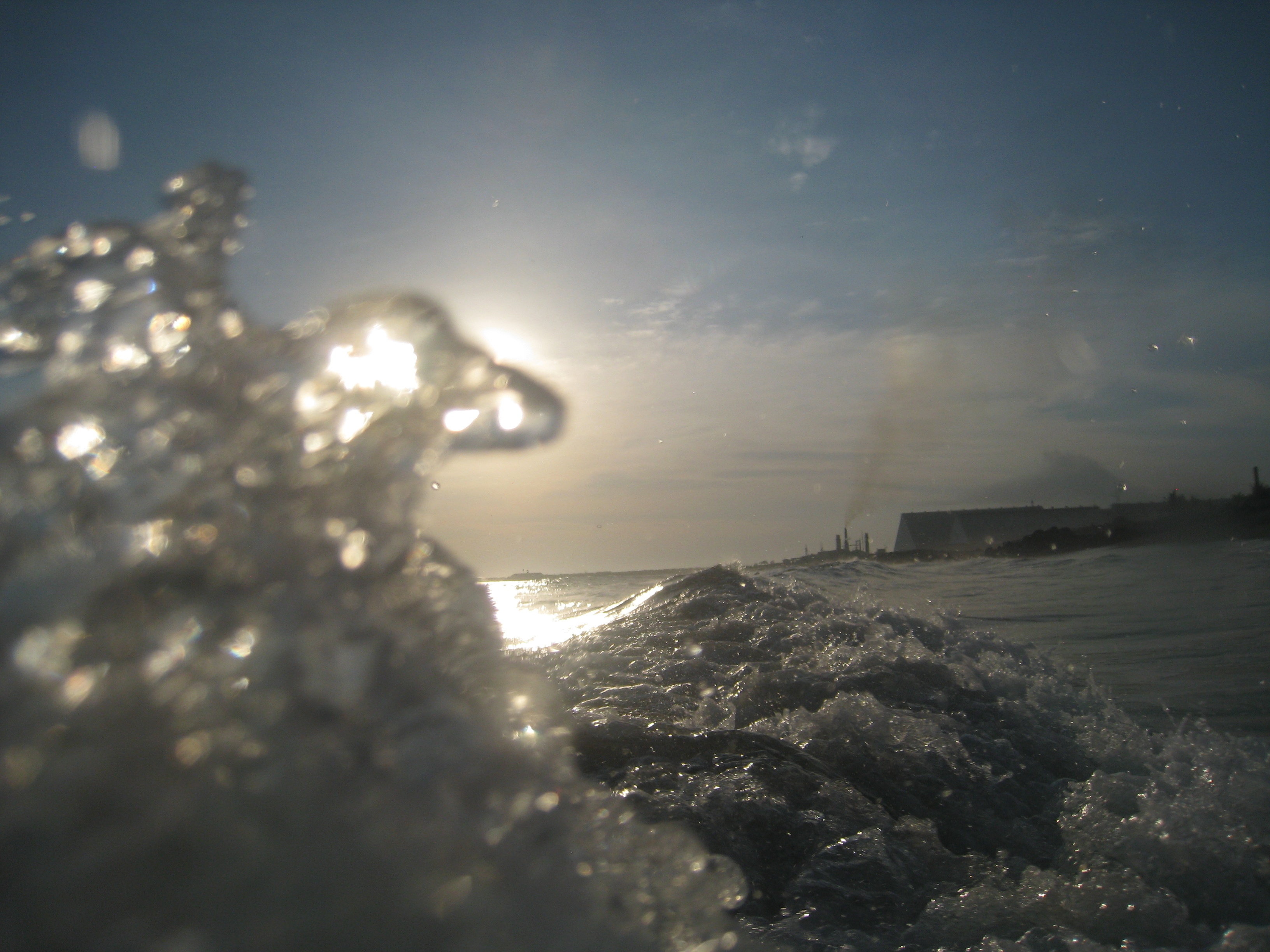
underwater :)
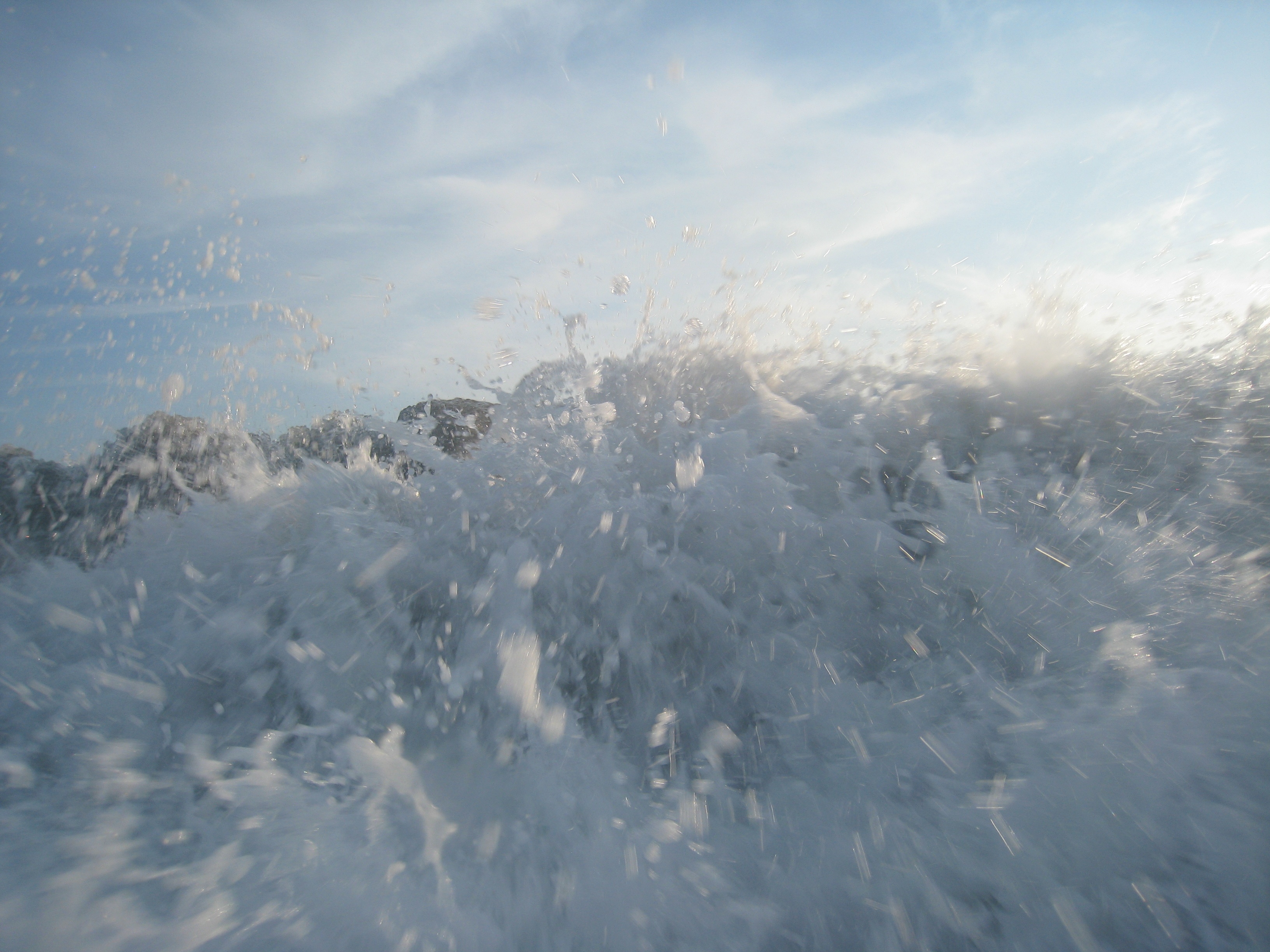
among the waves
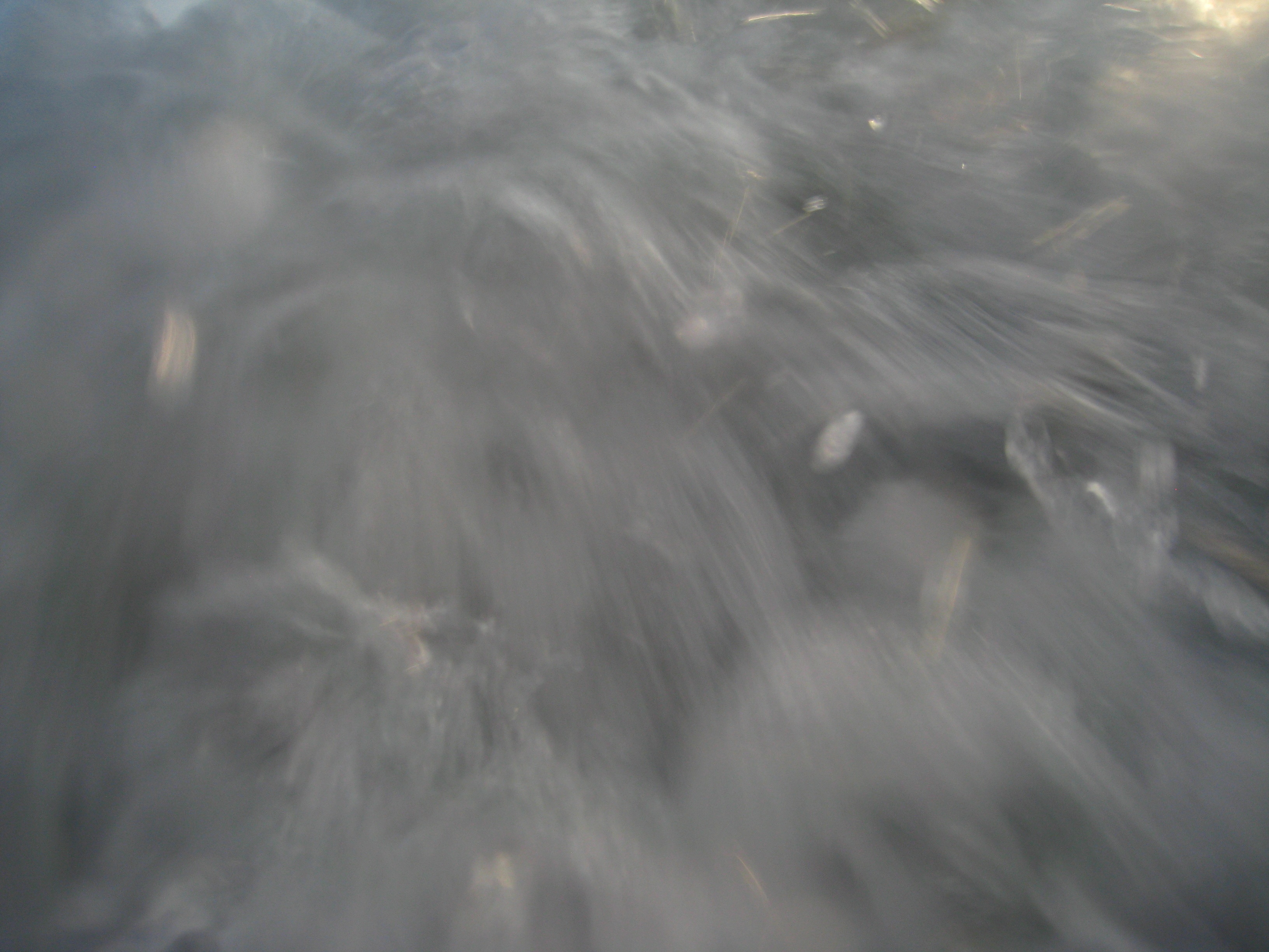
wave running
among the waves
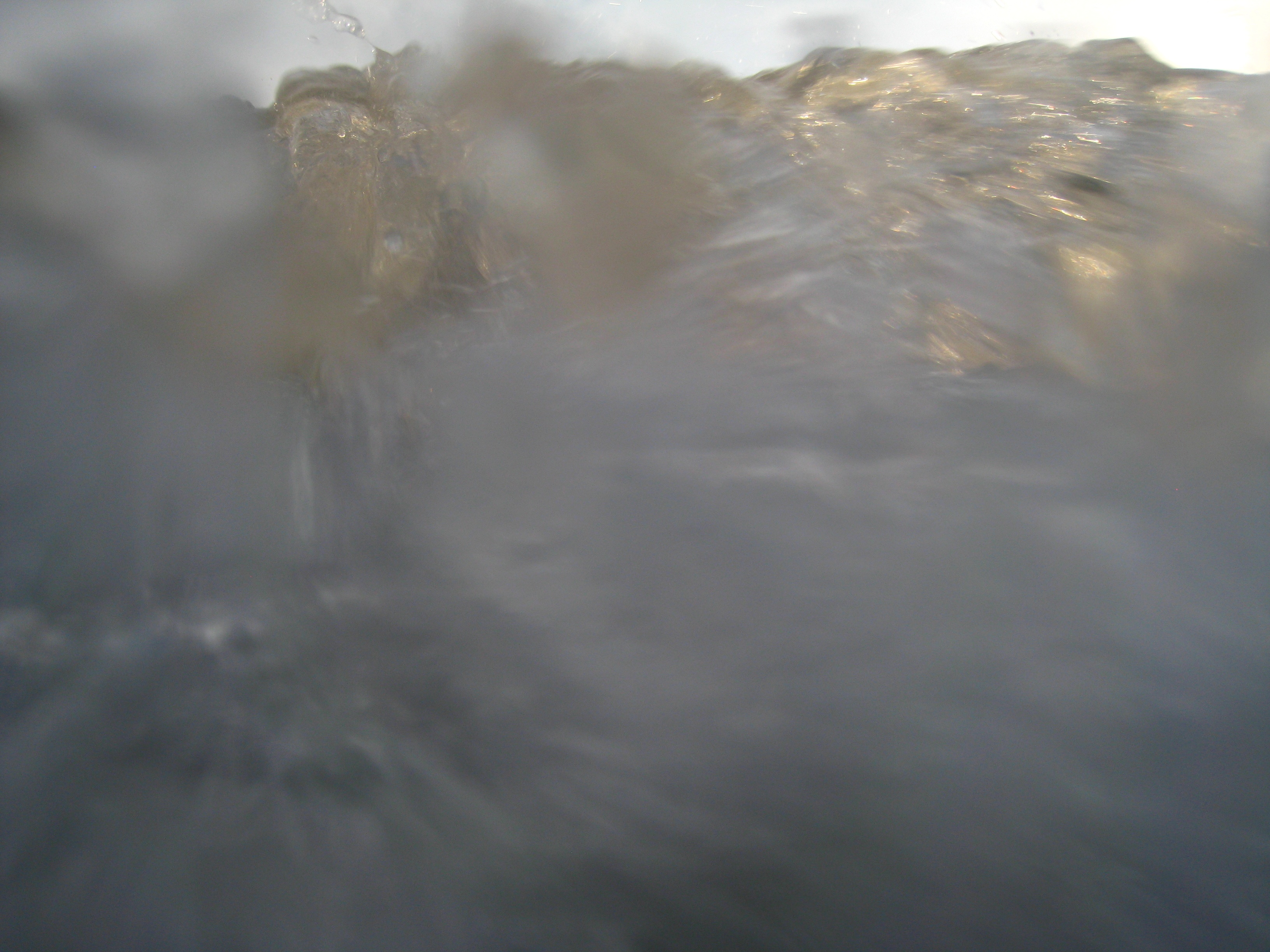
among the waves
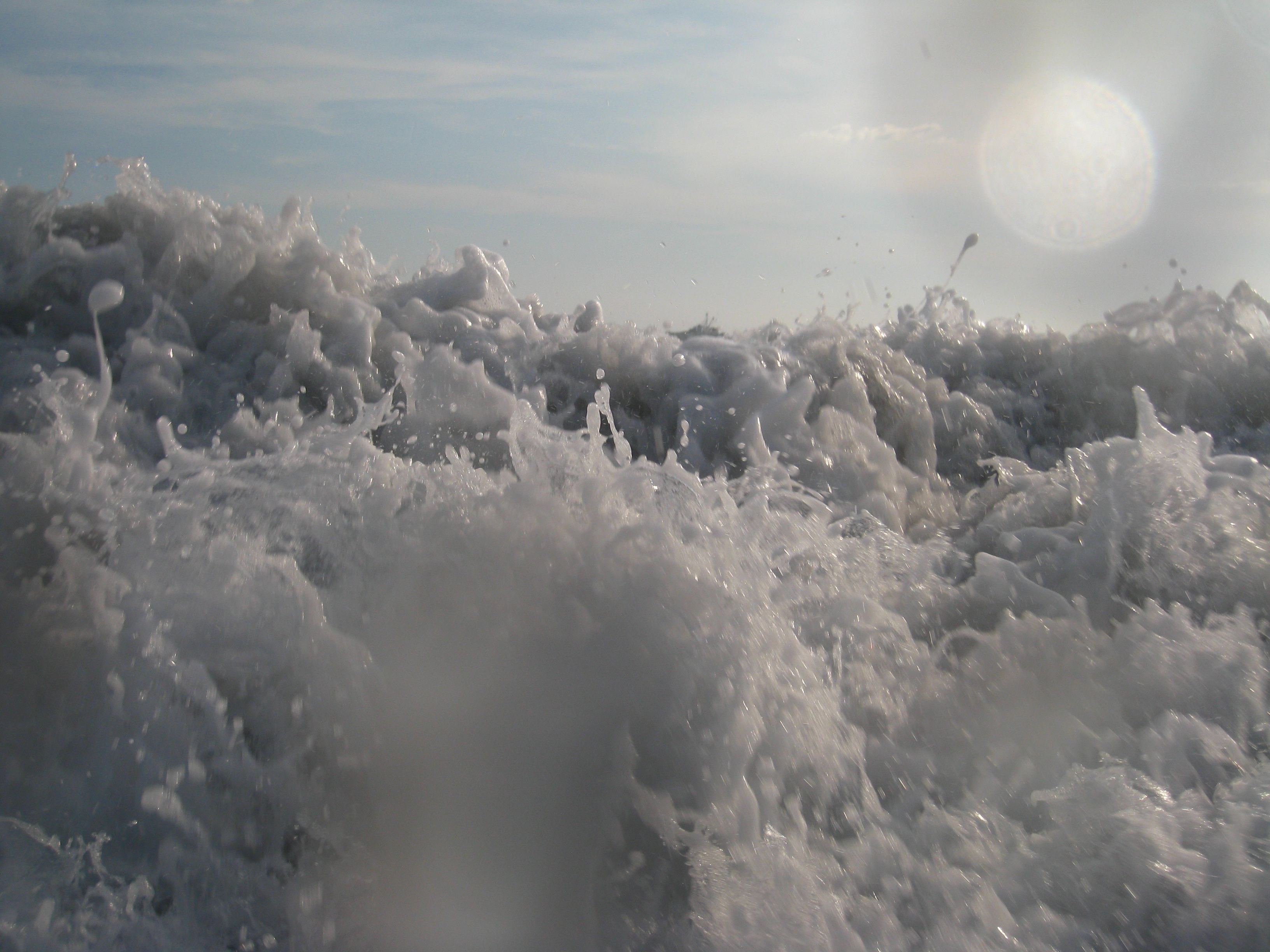
wave crashing
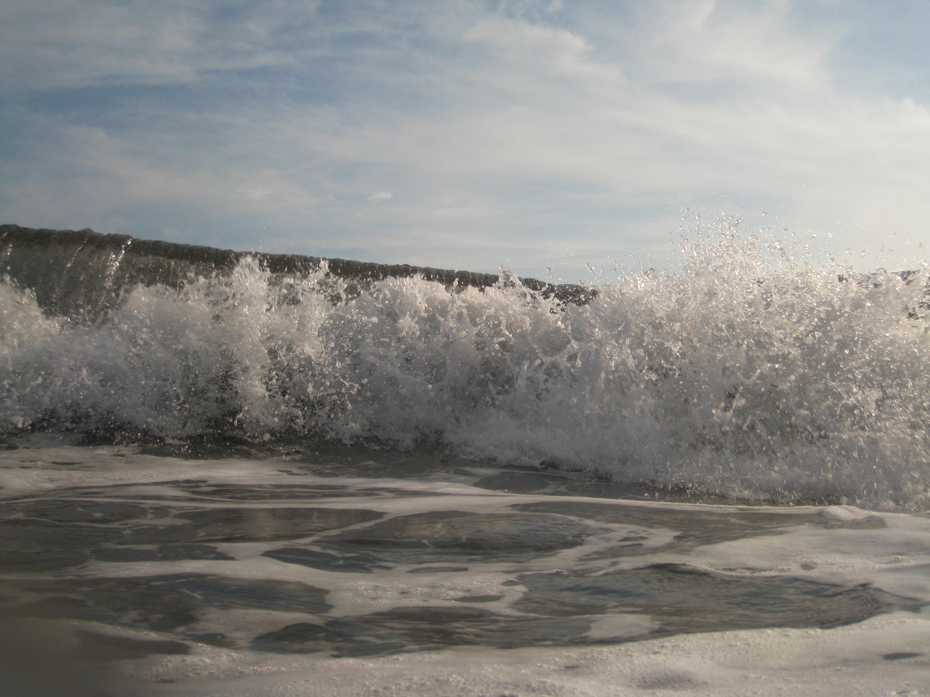
wave crashing
Topographic Map of Retalhuleu, Guatemala
Find elevation by address:

Places in Retalhuleu, Guatemala:
Places near Retalhuleu, Guatemala:
Zona 4
Retalhuleu
Calel Ahpop
Finca Patrocinio
El Palmar
Quetzaltenango Department
Santa María
Quetzaltenango
San Marcos Department
San Antonio Sacatepéquez
San Marcos
San Francisco El Alto
San Francisco El Alto
Vicente Guerrero
Álvaro Obregón, Vicente Guerrero, Chis., Mexico
Volcán Tajumulco
Mar Egeo 11, Bonanza, Tapachula de Córdova y Ordoñez, Chis., Mexico
Bonanza
San Jose El Eden
48A. Oriente 5, San Jose el Eden, Tapachula de Córdova y Ordoñez, Chis., Mexico
Recent Searches:
- Elevation of Corso Fratelli Cairoli, 35, Macerata MC, Italy
- Elevation of Tallevast Rd, Sarasota, FL, USA
- Elevation of 4th St E, Sonoma, CA, USA
- Elevation of Black Hollow Rd, Pennsdale, PA, USA
- Elevation of Oakland Ave, Williamsport, PA, USA
- Elevation of Pedrógão Grande, Portugal
- Elevation of Klee Dr, Martinsburg, WV, USA
- Elevation of Via Roma, Pieranica CR, Italy
- Elevation of Tavkvetili Mountain, Georgia
- Elevation of Hartfords Bluff Cir, Mt Pleasant, SC, USA