Elevation of Resthaven Mountain, Improvement District No. 25, AB T0E, Canada
Location: Canada > Alberta > Division No. 14 > Improvement District No. 25 >
Longitude: -119.50888
Latitude: 53.4505555
Elevation: 2810m / 9219feet
Barometric Pressure: 72KPa
Elevation Map:
Satellite Map:
Related Photos:
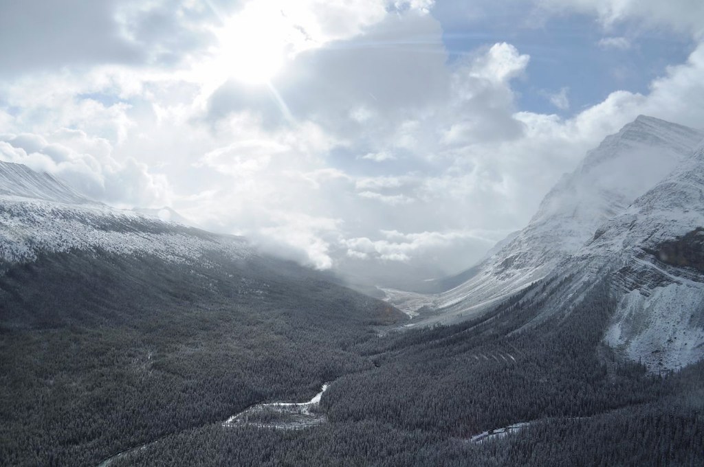
Upper Smokey River.....Willmore Wilderness Park
Topographic Map of Resthaven Mountain, Improvement District No. 25, AB T0E, Canada
Find elevation by address:

Places near Resthaven Mountain, Improvement District No. 25, AB T0E, Canada:
Resthaven N4
Apostle Peak
Childear Mountain
Mount Van Gogh
Fury Peak
Improvement District No. 25
216 Moberly Rd
216 Moberly Rd
shoppers Park mall, Grande Cache, AB T0E 0Y0, Canada
Grande Cache
Mount Degas
Starlight Mountain
Mount Persimmon
Smoky River
Recent Searches:
- Elevation of Corso Fratelli Cairoli, 35, Macerata MC, Italy
- Elevation of Tallevast Rd, Sarasota, FL, USA
- Elevation of 4th St E, Sonoma, CA, USA
- Elevation of Black Hollow Rd, Pennsdale, PA, USA
- Elevation of Oakland Ave, Williamsport, PA, USA
- Elevation of Pedrógão Grande, Portugal
- Elevation of Klee Dr, Martinsburg, WV, USA
- Elevation of Via Roma, Pieranica CR, Italy
- Elevation of Tavkvetili Mountain, Georgia
- Elevation of Hartfords Bluff Cir, Mt Pleasant, SC, USA