Elevation of Reno Hwy, Fernley, NV, USA
Location: United States > Nevada > Lyon County > Fernley >
Longitude: -119.04744
Latitude: 39.5639899
Elevation: 1221m / 4006feet
Barometric Pressure: 87KPa
Elevation Map:
Satellite Map:
Related Photos:

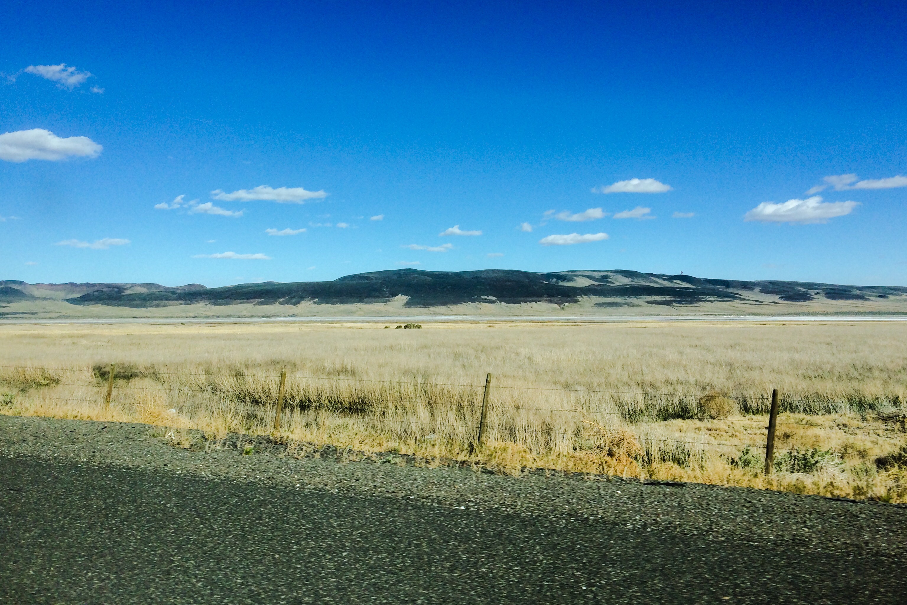
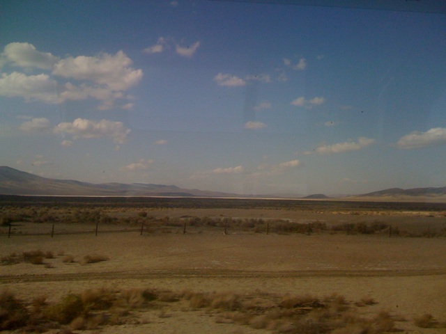
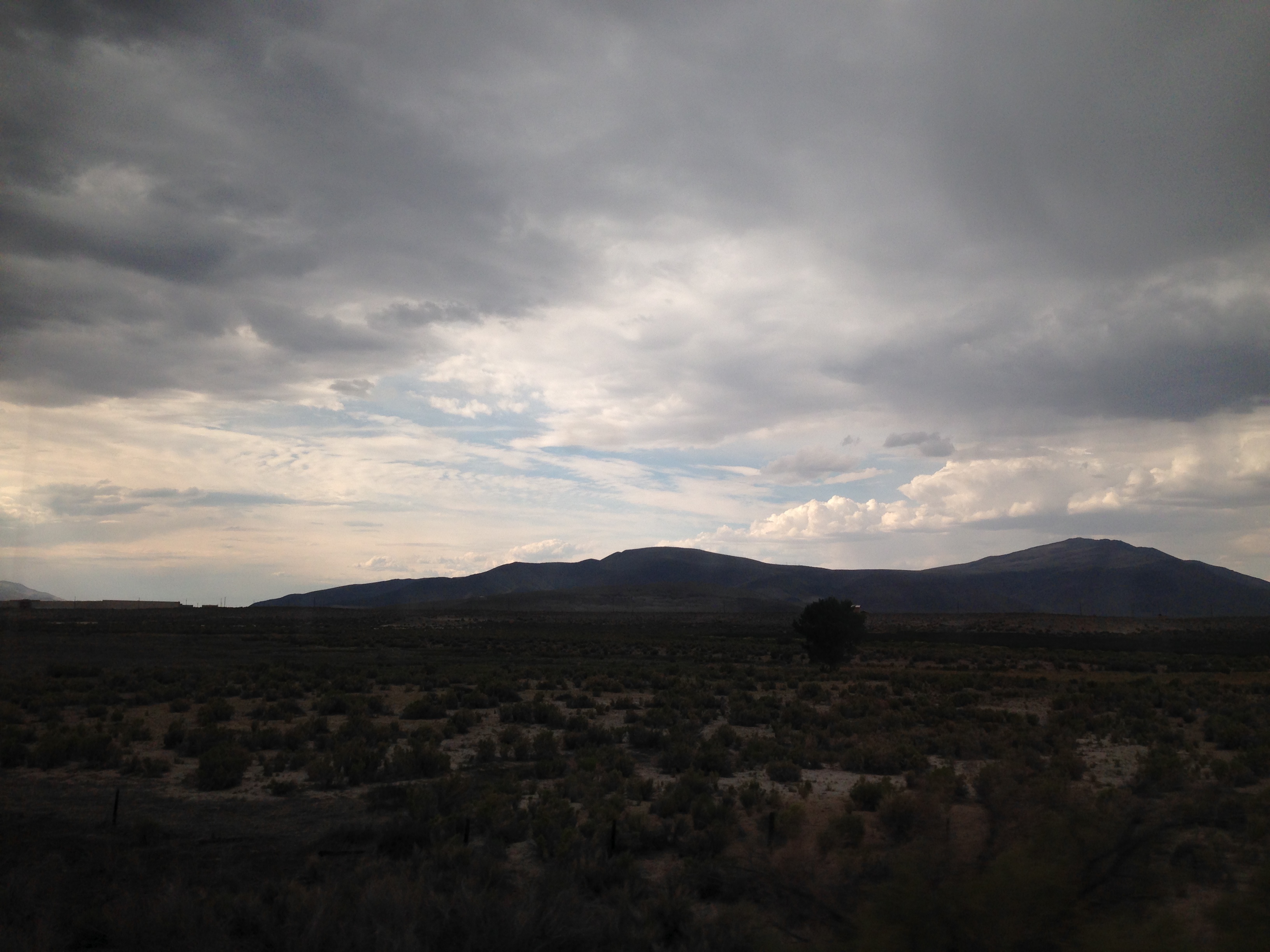
Highway view
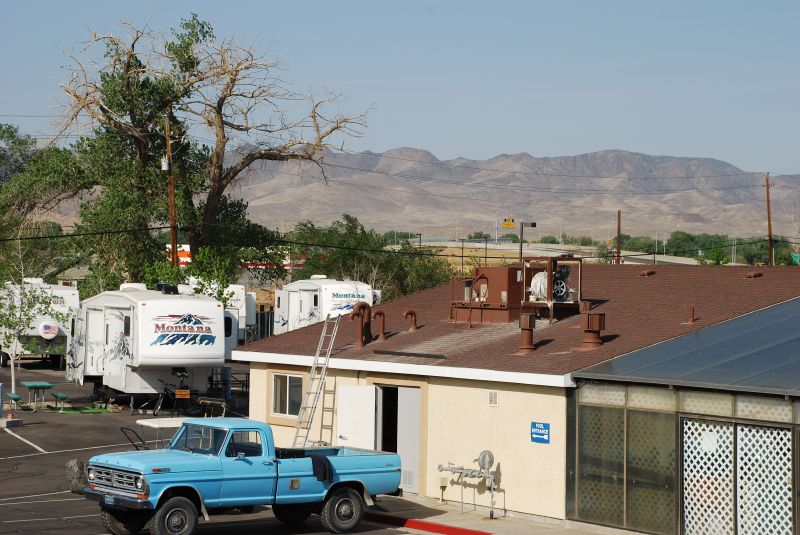
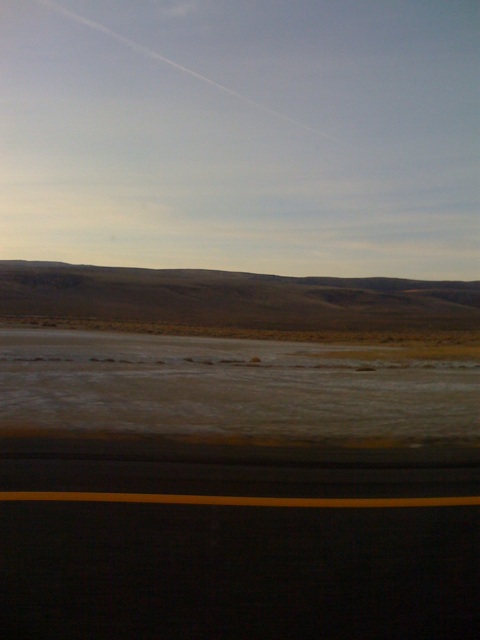
View from the Fernley Inn
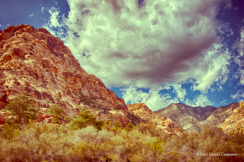
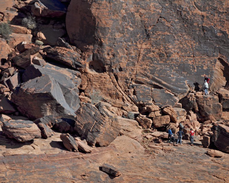
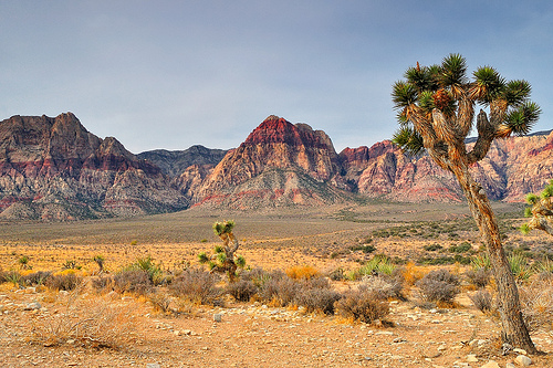
Red Rock Canyon
Red Rock Canyon
Red Rock Canyon - near Las Vegas, Nevada

Complete Silence
#JOESIMPSON
Truck Inn
Red shadow
Fernley. Spent the 4th here with some great thunder showers.
Day 268: On the Road
United States, Nov 22, 2008

I Had No Ready Reply
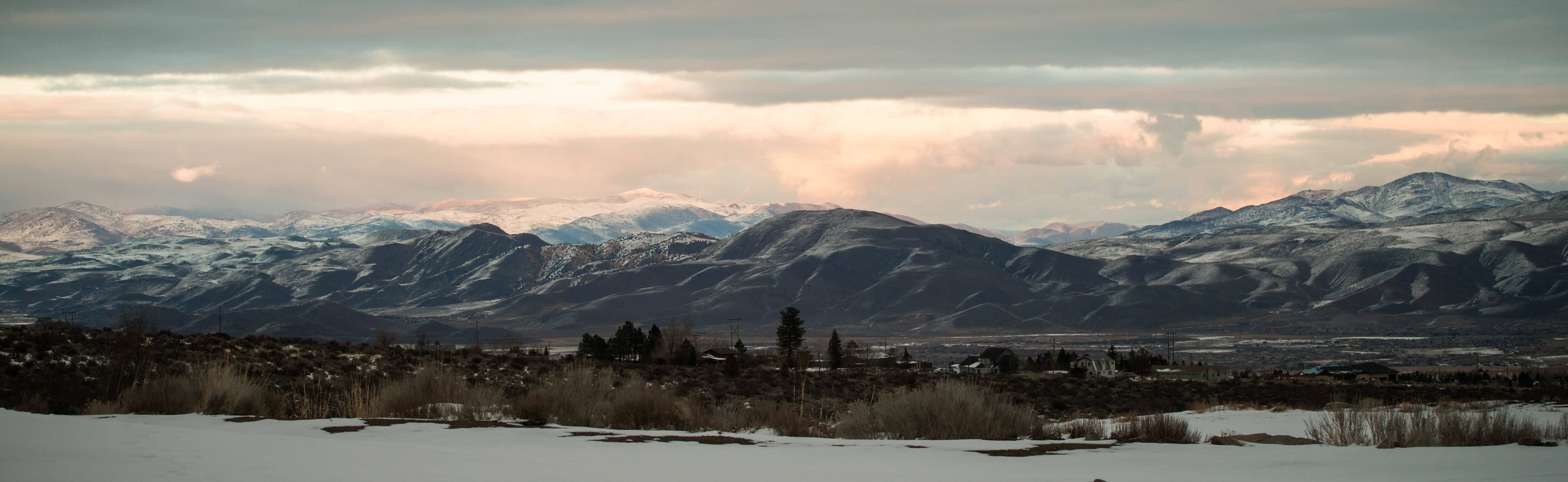
Mountains Climbing
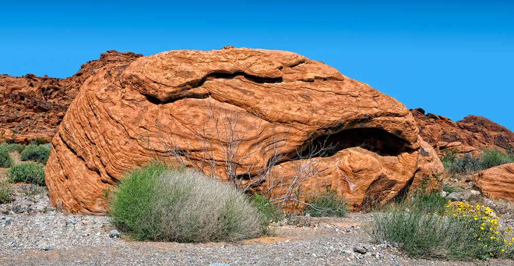
Valley of Fire
Red Rock Overlook, Red Rock Canyon National Conservation Area, near Las Vegas, Nevada

Hazen ahead
Western Range from Soda Lake (NV)

H Mountain?

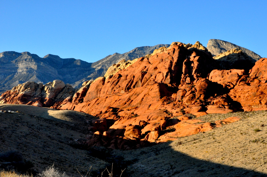
Red Rock Canyon, Nevada
Reno, Apr 27, 2009
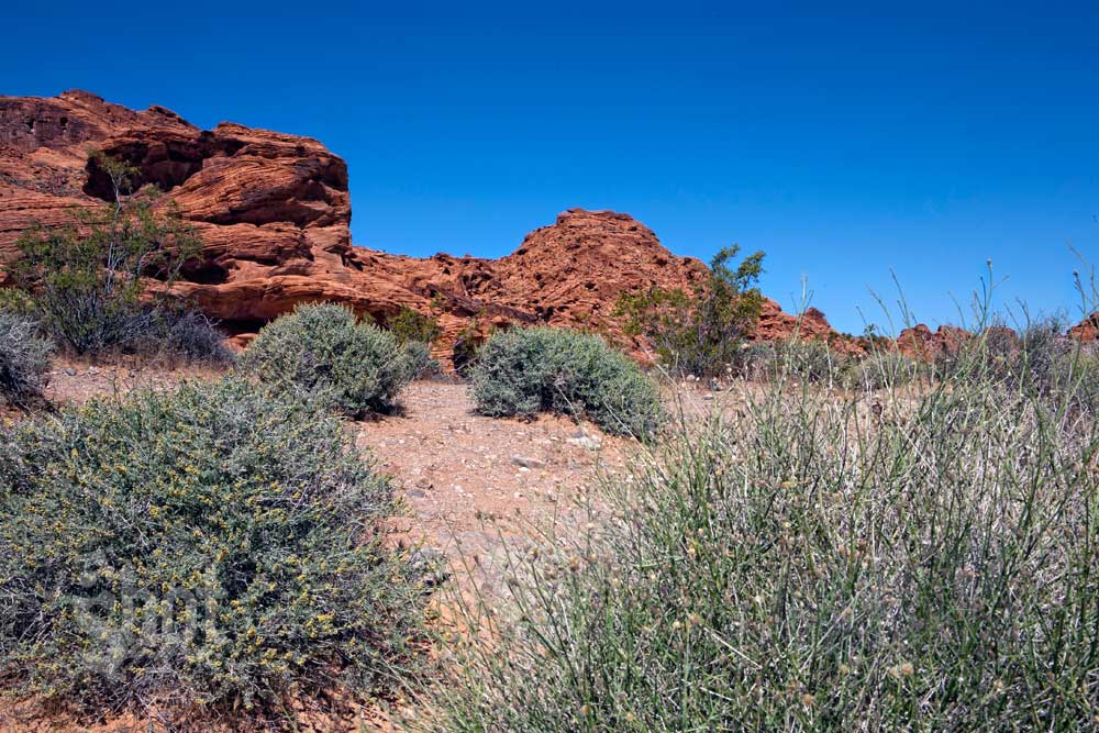
Valley of Fire
Train to Colorado
Topographic Map of Reno Hwy, Fernley, NV, USA
Find elevation by address:

Places near Reno Hwy, Fernley, NV, USA:
11245 Fulkerson Rd
11245 Fulkerson Rd
521 Wedge Ln
17045 Lahontan Dam Rd
1060 Pepper Ln
Wallace Way, Fernley, NV, USA
1950 Alta Vista Way
50 Speedway Rd
6316 Westwind Way
Silverado Casino
1291 Canal Dr
Red Bluffs Way
Fernley
90 Main St, Dayton, NV, USA
990 Roan Ct
1745 Tuscarora St
3900 Alcorn Rd
Lahontan Street
Silver Springs
1360 Lahontan St
Recent Searches:
- Elevation of Tenjo, Cundinamarca, Colombia
- Elevation of Côte-des-Neiges, Montreal, QC H4A 3J6, Canada
- Elevation of Bobcat Dr, Helena, MT, USA
- Elevation of Zu den Ihlowbergen, Althüttendorf, Germany
- Elevation of Badaber, Peshawar, Khyber Pakhtunkhwa, Pakistan
- Elevation of SE Heron Loop, Lincoln City, OR, USA
- Elevation of Slanický ostrov, 01 Námestovo, Slovakia
- Elevation of Spaceport America, Co Rd A, Truth or Consequences, NM, USA
- Elevation of Warwick, RI, USA
- Elevation of Fern Rd, Whitmore, CA, USA