Elevation of Renacimiento District, Panama
Location: Panama > Chiriqui >
Longitude: -82.799419
Latitude: 8.7457913
Elevation: 867m / 2844feet
Barometric Pressure: 91KPa
Elevation Map:
Satellite Map:
Related Photos:
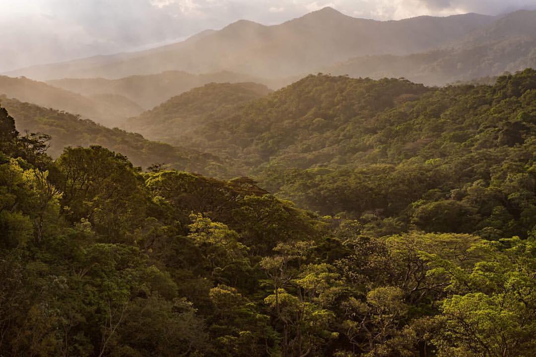
#Montañas de San Vito #Mountains in San Vito #nikonuser #nikontop @nikontop #costarica #thisiscostarica #sunset #trees #nature #viewbugfeature #500px #sanvito
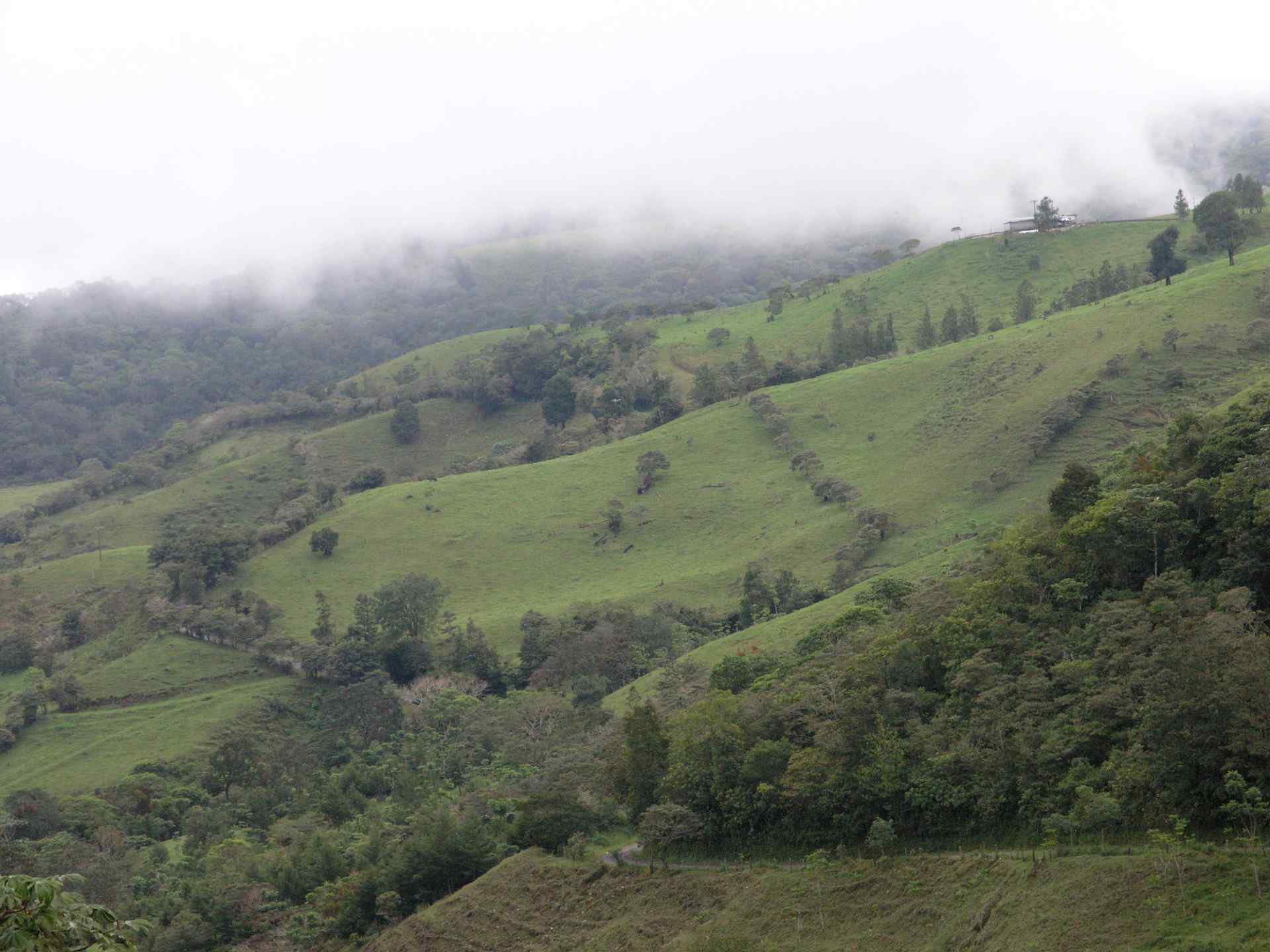
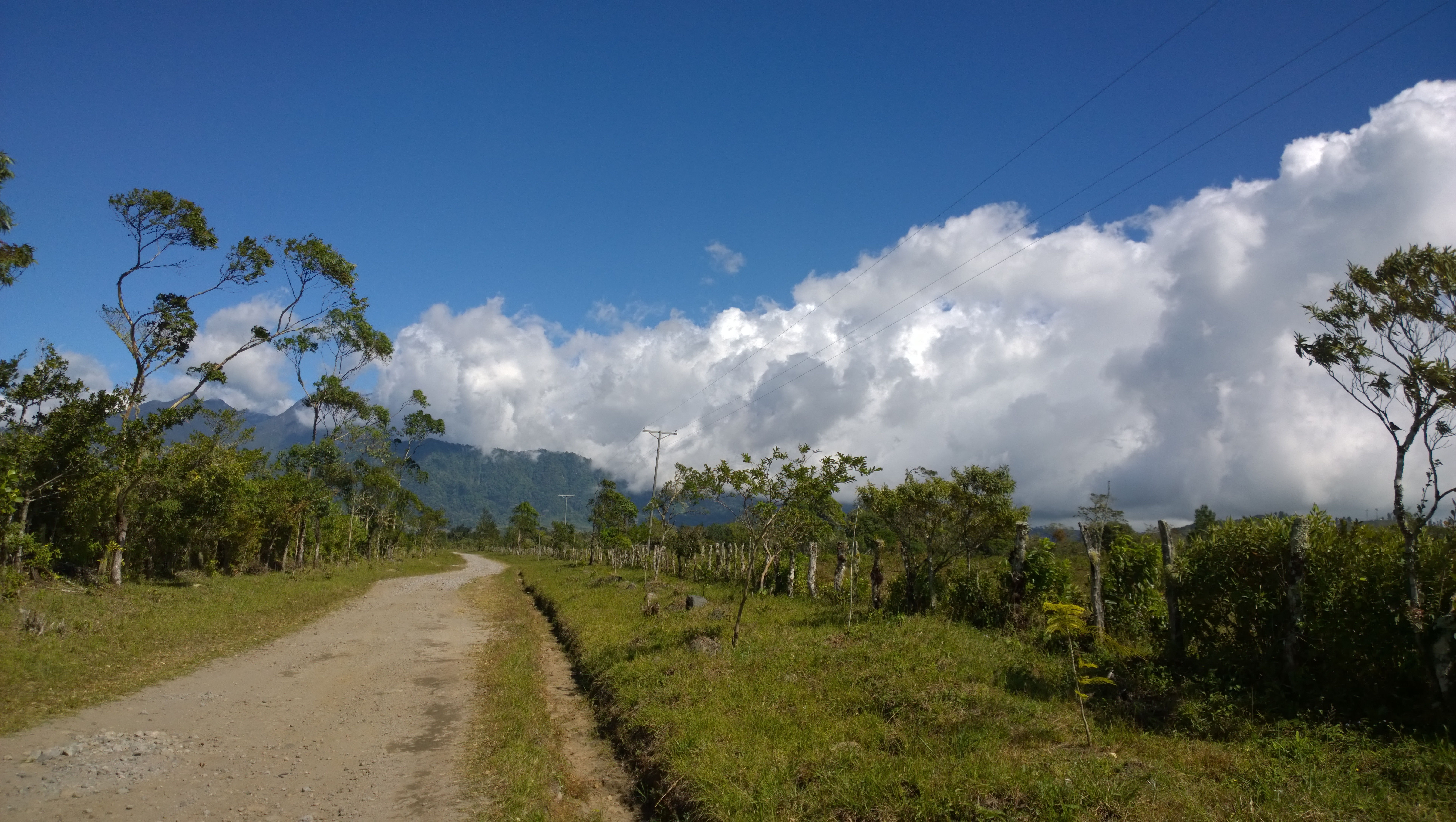
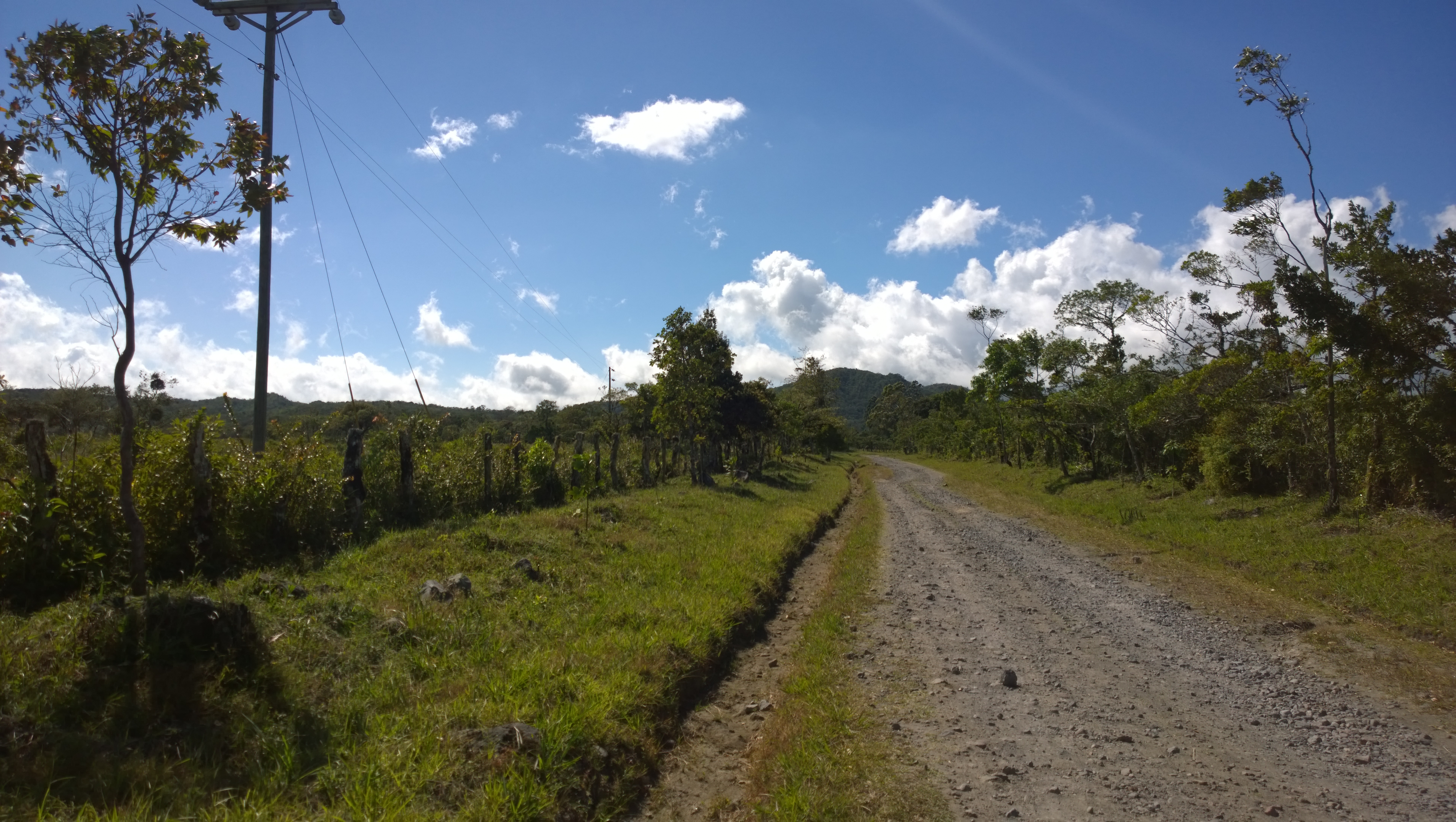
Camino entre Volcán y Río Serreno, Chiriquí, Panamá
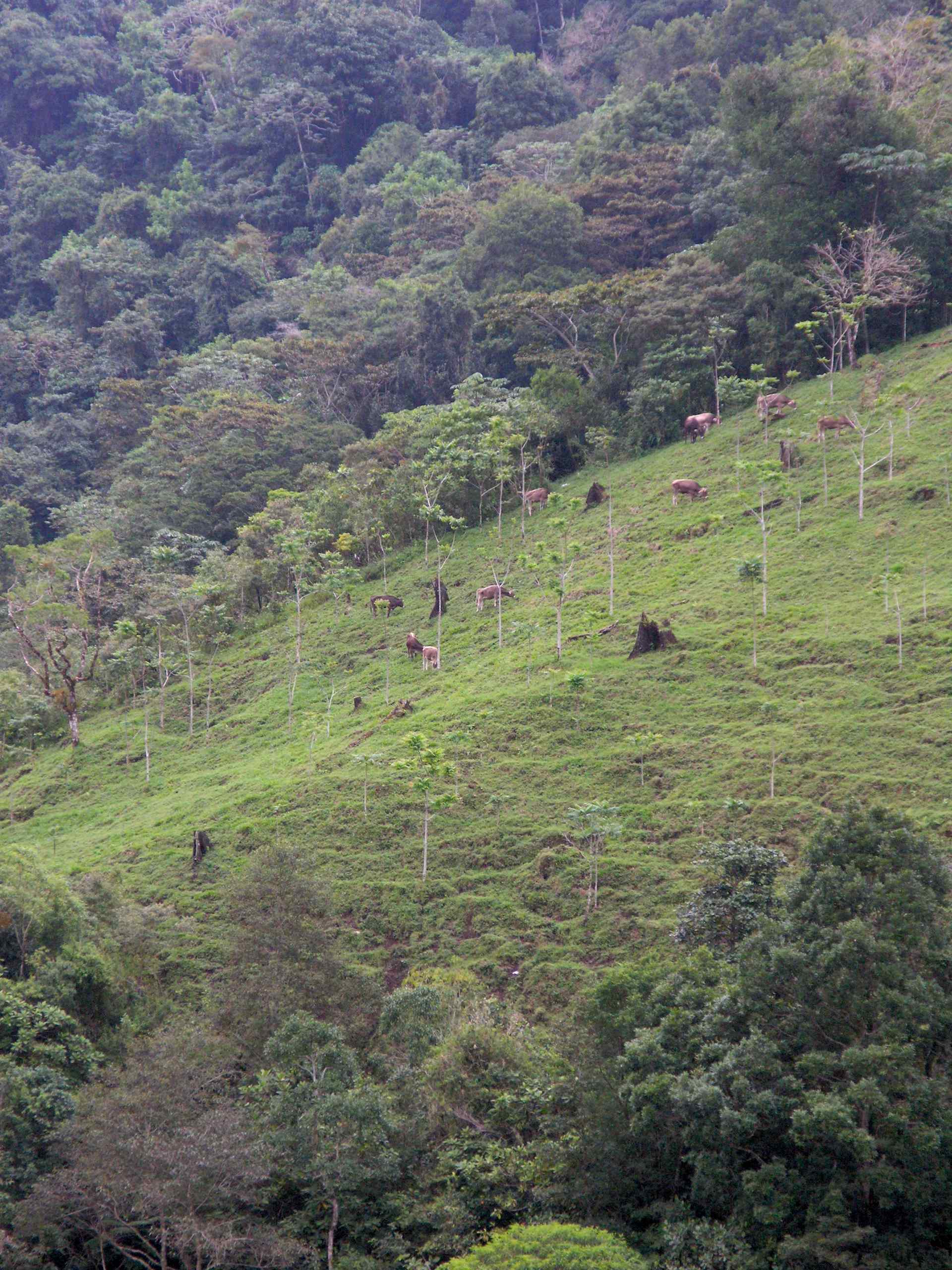
Cattle - Ganado; Camino entre Volcán y Río Serreno, Chiriquí, Panamá
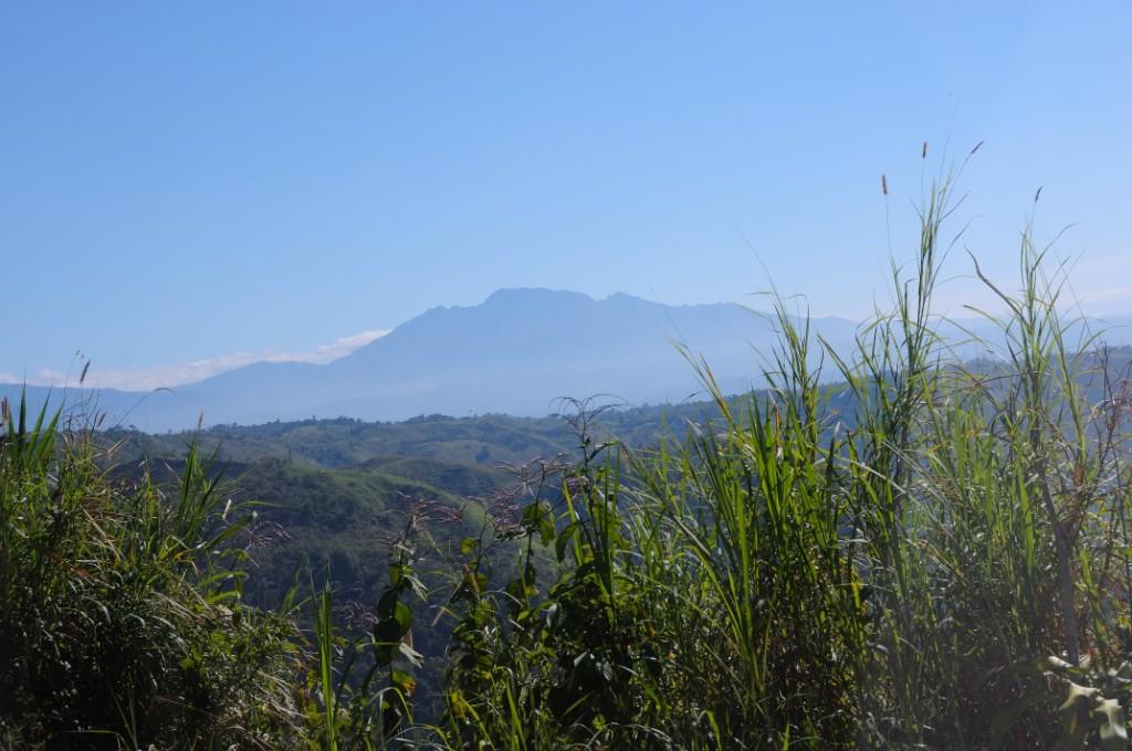
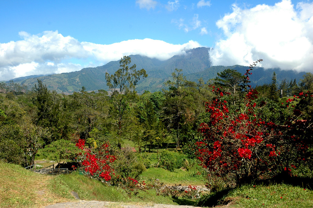
Volcan Baru highest mountain in Panama
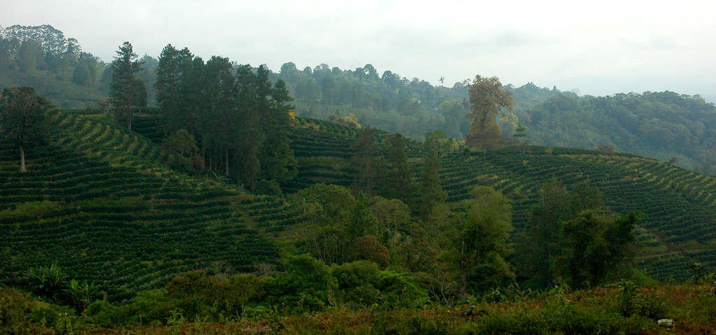
coffee plantation, western Panama.

Upper Lake
David region, Panama

Sunset over Volcan
David region, Panama
Jansen coffee farm, Volcan, Panama
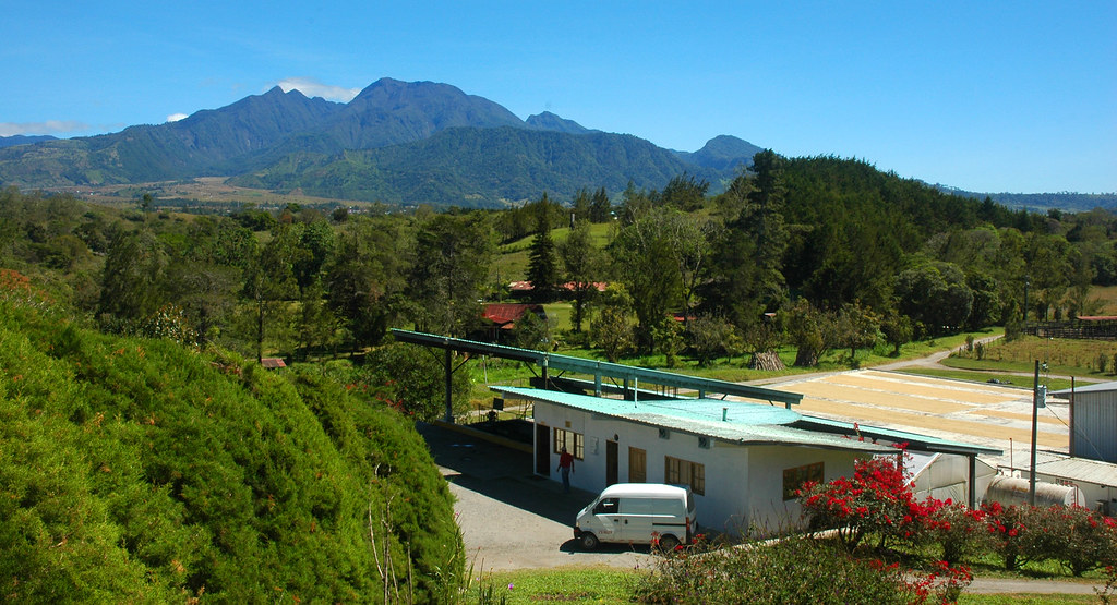
Jansen coffee farm, Volcan, Panama
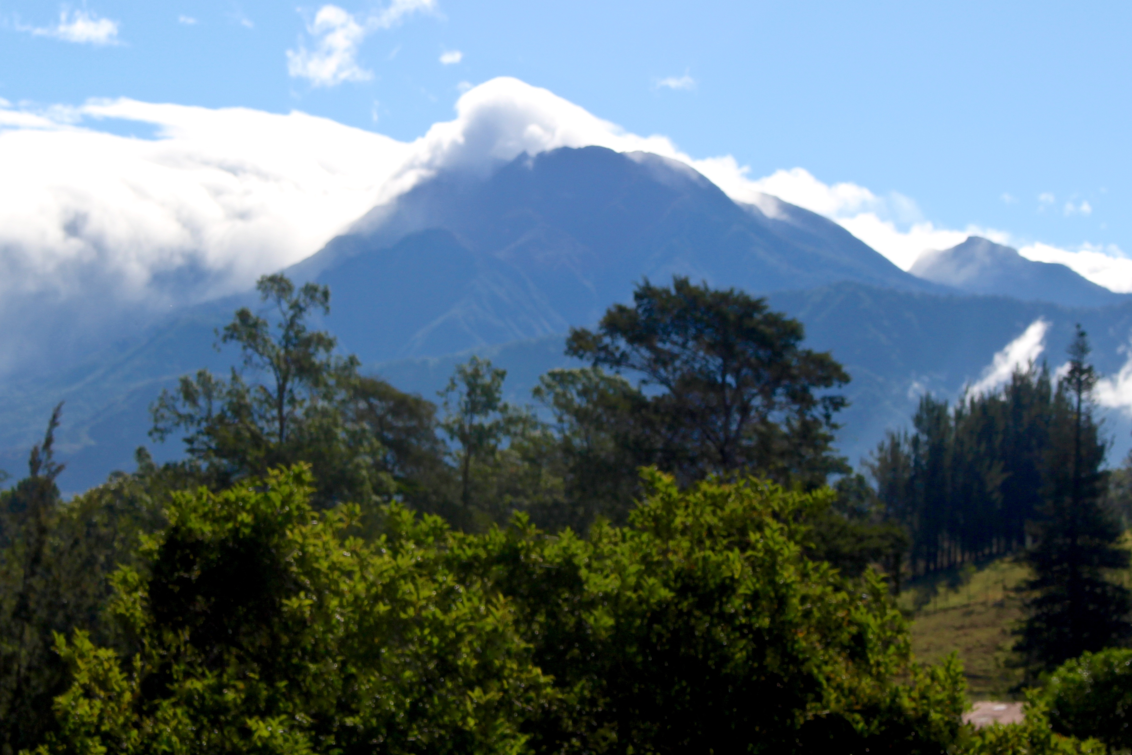
A blurry photo of Volcan Baru
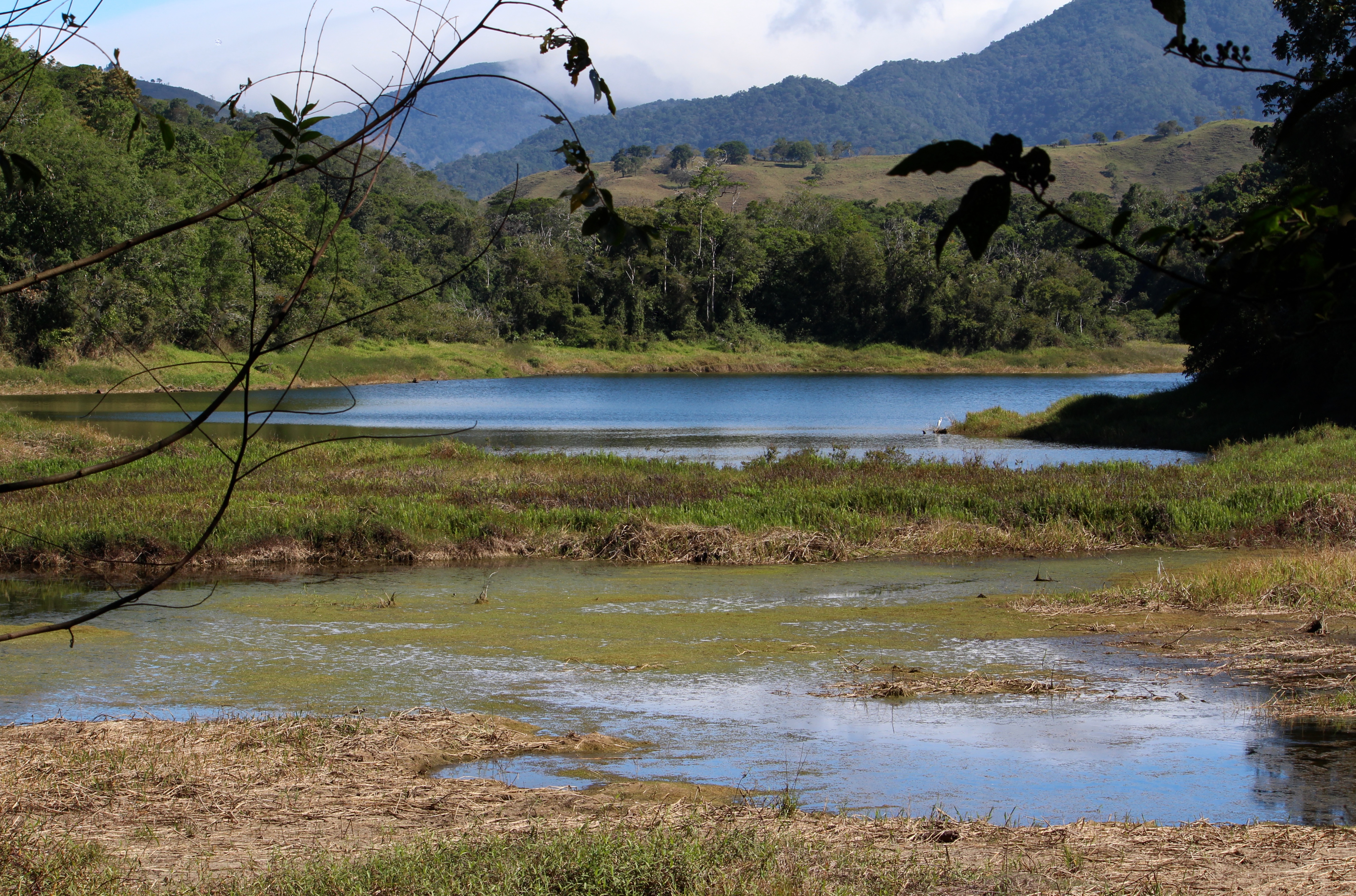
Lower Lake
Topographic Map of Renacimiento District, Panama
Find elevation by address:

Places in Renacimiento District, Panama:
Places near Renacimiento District, Panama:
Plaza De Caisan
Plaza de Caisán, Panama
Volcán
Agua Buena
Bugaba
San Ramón
Las Cruces
Plaza De Volcán
Corredor District
Cuesta De Piedra
Casa Grande Bambito Resort
Paso Ancho
San Vicente
El Bongo
Cerro Punta
Volcán Barú
Volcán Barú
La Concepcion
Dolega
Potrerillos Arriba
Recent Searches:
- Elevation of 72-31 Metropolitan Ave, Middle Village, NY, USA
- Elevation of 76 Metropolitan Ave, Brooklyn, NY, USA
- Elevation of Alisal Rd, Solvang, CA, USA
- Elevation of Vista Blvd, Sparks, NV, USA
- Elevation of 15th Ave SE, St. Petersburg, FL, USA
- Elevation of Beall Road, Beall Rd, Florida, USA
- Elevation of Leguwa, Nepal
- Elevation of County Rd, Enterprise, AL, USA
- Elevation of Kolchuginsky District, Vladimir Oblast, Russia
- Elevation of Shustino, Vladimir Oblast, Russia