Elevation of Relíquias, Portugal
Location: Portugal > Beja District >
Longitude: -8.539144
Latitude: 37.7007645
Elevation: 141m / 463feet
Barometric Pressure: 100KPa
Elevation Map:
Satellite Map:
Related Photos:
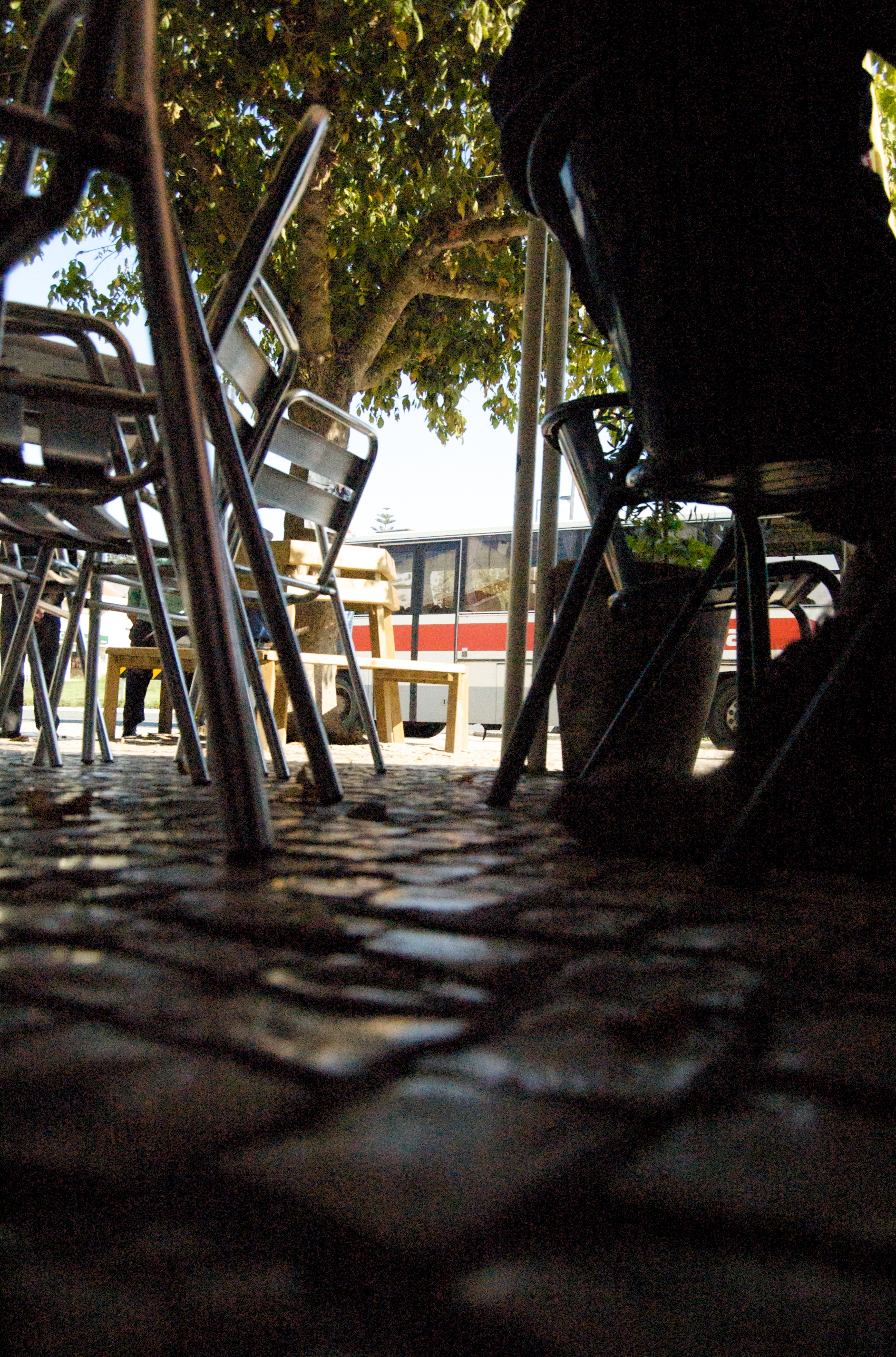
frog view

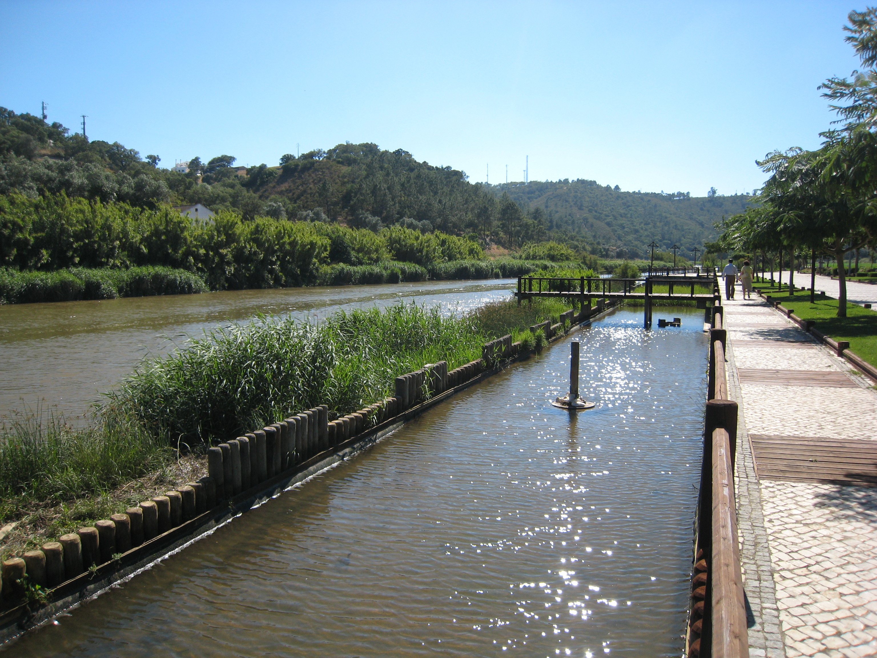
View from the mill

[sans titre]

2014.07.27. RA 8711

DSC_4086 20180610

Morning mist over the lake at Tamera

Mill Road B&W

must keep this way

[sans titre]

Pego das Pias V

Sunset from the mill
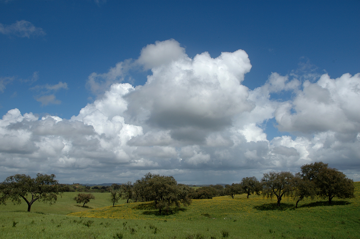
Alentejo clouds

Rota Vicentina

Pego das Pias I

The big lake, Tamera

Volta ao mundo

Sunset from the mill

Argus castanha
Alentejo e Algarve 2009-06-10 010
Topographic Map of Relíquias, Portugal
Find elevation by address:

Places near Relíquias, Portugal:
Colos
Luzianes
São Luís
Luzianes-gare
Odemira
São Luís
Odemira
Cercal
Santa Clara-a-velha
Santa Clara-saboia
São Teotónio
Zambujeira Do Mar
Santiago Do Cacém
Pessegueiro Island
Selão
Odeceixe
Odeceixe
Monchique
Monchique
Fóia
Recent Searches:
- Elevation of Congressional Dr, Stevensville, MD, USA
- Elevation of Bellview Rd, McLean, VA, USA
- Elevation of Stage Island Rd, Chatham, MA, USA
- Elevation of Shibuya Scramble Crossing, 21 Udagawacho, Shibuya City, Tokyo -, Japan
- Elevation of Jadagoniai, Kaunas District Municipality, Lithuania
- Elevation of Pagonija rock, Kranto 7-oji g. 8"N, Kaunas, Lithuania
- Elevation of Co Rd 87, Jamestown, CO, USA
- Elevation of Tenjo, Cundinamarca, Colombia
- Elevation of Côte-des-Neiges, Montreal, QC H4A 3J6, Canada
- Elevation of Bobcat Dr, Helena, MT, USA