Elevation of Reeve Township, IN, USA
Location: United States > Indiana > Daviess County >
Longitude: -86.962408
Latitude: 38.5507686
Elevation: 141m / 463feet
Barometric Pressure: 100KPa
Elevation Map:
Satellite Map:
Related Photos:

Brooks Bridge (HDR)

Brooks Bridge Support

The Road
Indiana, Martin County, Mail Pouch, Kentucky Club, and Meramec Caverns (8,320-2) (18,454-2) (18,502-2)
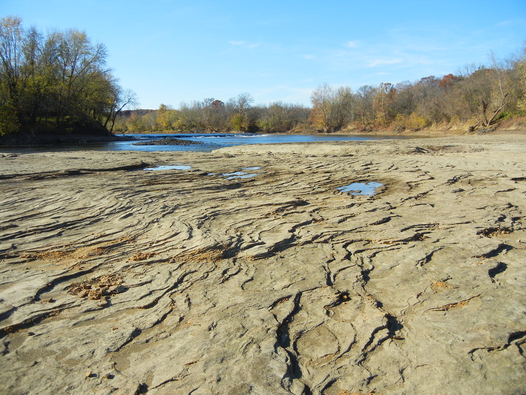
Flats and Falls

Mockingbird (video)

Getting My New TTV Camera Dialed In

stormy sky

Beautiful day!
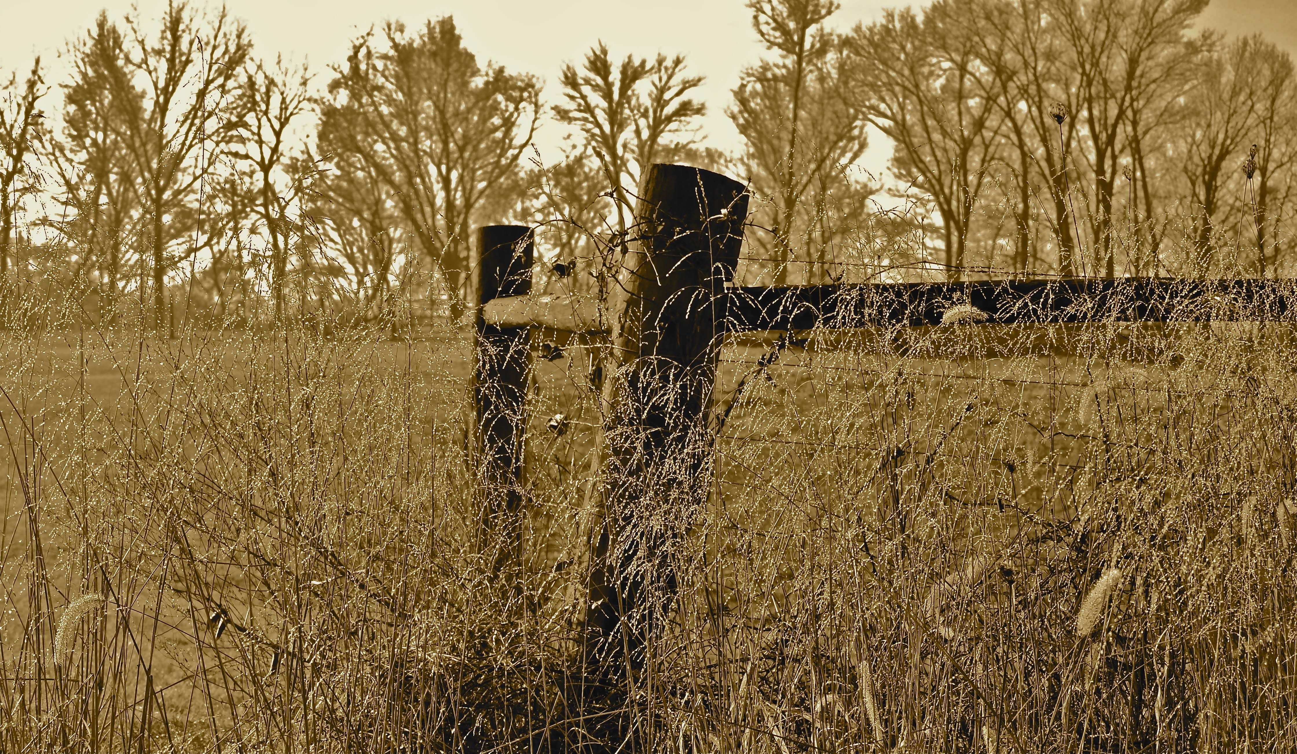
Morning Dew
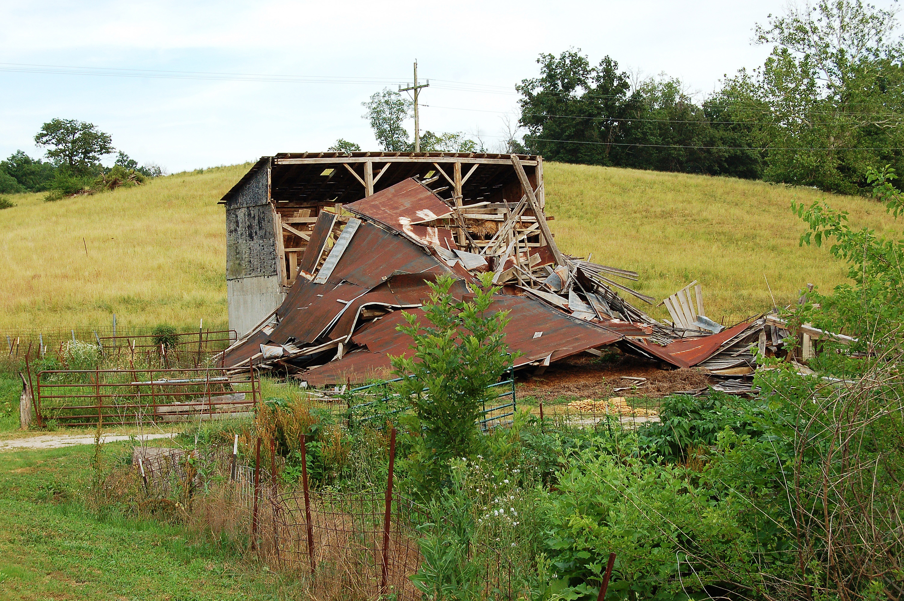
45/52 -- What Used To Be

tall guys
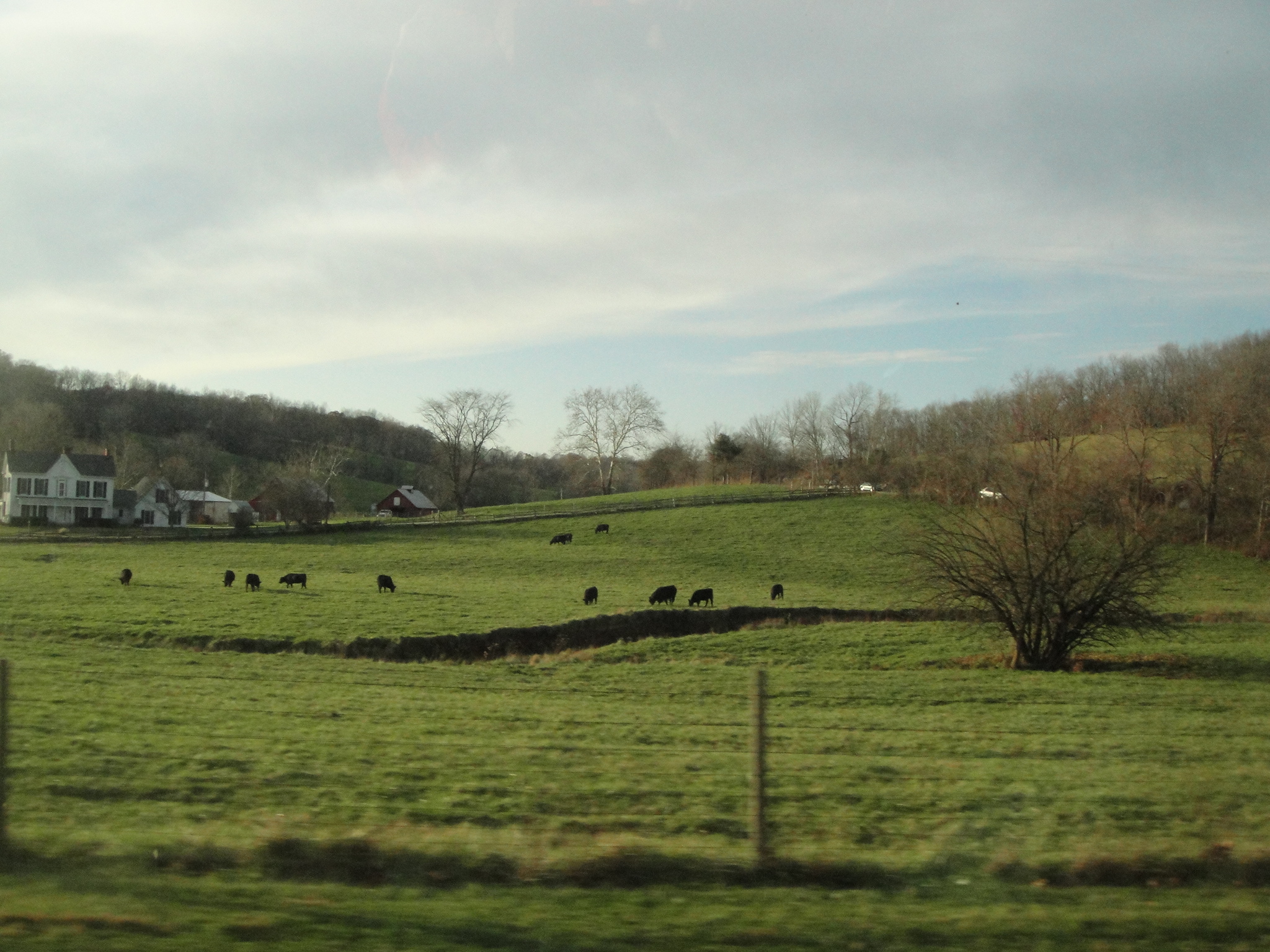
Rural Indiana
more sunrise in boone twp.
jasper glow
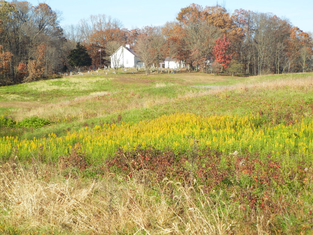
Loogootee, Indiana
A Storm Rolls Through - Panoramic Stitch
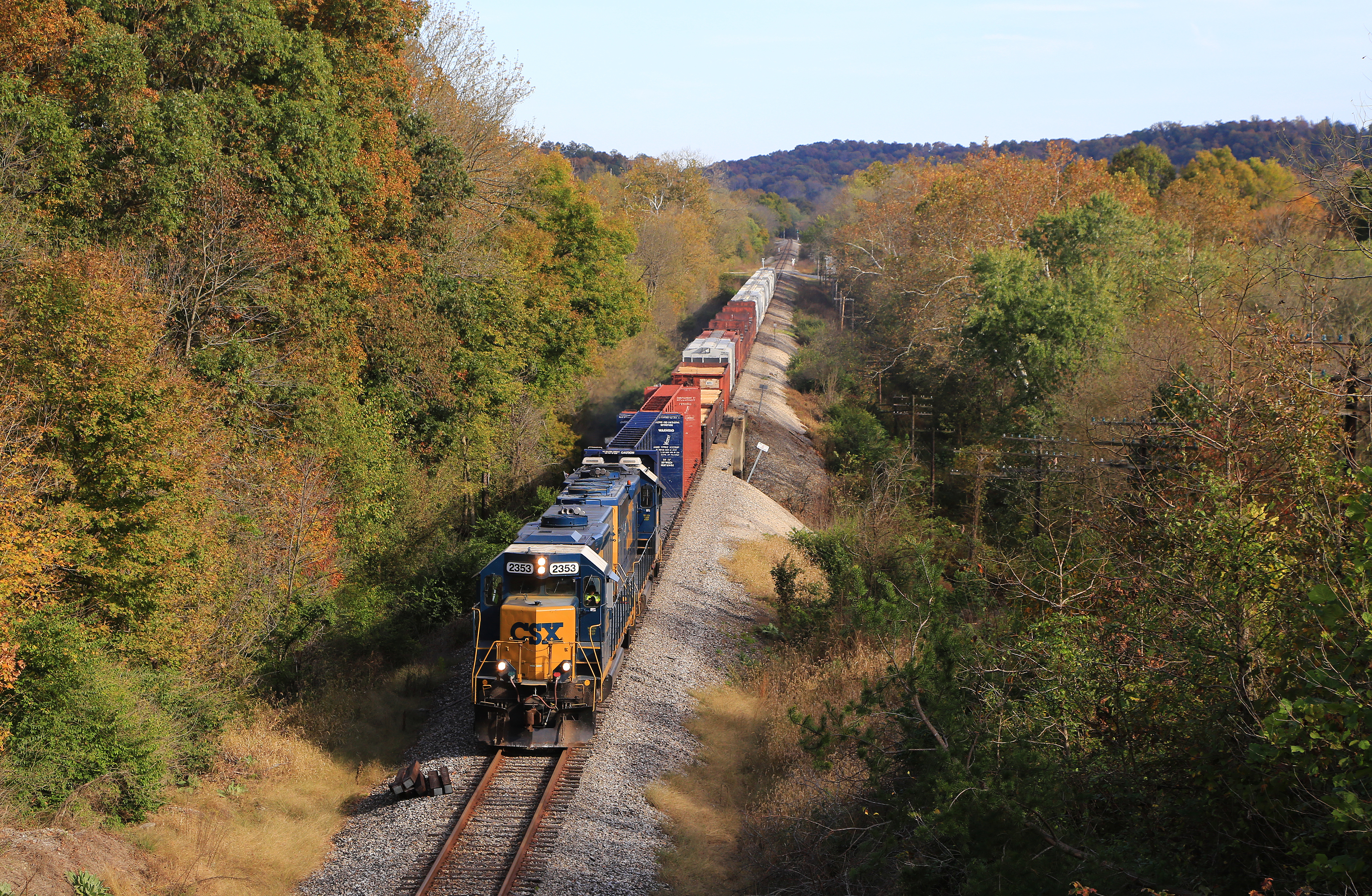
Old US 50
Topographic Map of Reeve Township, IN, USA
Find elevation by address:

Places in Reeve Township, IN, USA:
Places near Reeve Township, IN, USA:
Main St, Loogootee, IN, USA
Alfordsville
County Rd E, Montgomery, IN, USA
Rutherford Township
3339 Lumpkin Rd
Harrison Township
3798 Lumpkin Rd
1801 Divine Ln
E S, Montgomery, IN, USA
Barr Township
Main St, Cannelburg, IN, USA
Cannelburg
US-50, Montgomery, IN, USA
Montgomery
N Co Rd E, Otwell, IN, USA
2518 E 200 S
The Villages At Oak Ridge
1747 Bedford Rd
Washington
Washington Township
Recent Searches:
- Elevation of Woolwine, VA, USA
- Elevation of Lumagwas Diversified Farmers Multi-Purpose Cooperative, Lumagwas, Adtuyon, RV32+MH7, Pangantucan, Bukidnon, Philippines
- Elevation of Homestead Ridge, New Braunfels, TX, USA
- Elevation of Orchard Road, Orchard Rd, Marlborough, NY, USA
- Elevation of 12 Hutchinson Woods Dr, Fletcher, NC, USA
- Elevation of Holloway Ave, San Francisco, CA, USA
- Elevation of Norfolk, NY, USA
- Elevation of - San Marcos Pass Rd, Santa Barbara, CA, USA
- Elevation of th Pl SE, Issaquah, WA, USA
- Elevation of 82- D Rd, Captain Cook, HI, USA