Elevation of Redwood Way, Upland, CA, USA

Location: United States > California > San Bernardino County > Upland >

Longitude: -117.67869

Latitude: 34.1237208

Elevation: 482m / 1581feet

Barometric Pressure: 96KPa

Elevation Map:

elevation map of Redwood Way, Upland, CA, USA

Satellite Map:

Satellite map of Redwood Way, Upland, CA, USA

Related Photos:

bw white black nature canon landscape outdoors haze view hiking scenic canyon ridge vista 5d southerncalifornia mountbaldy sangabrielmountains canon70200f4 transverseranges 5dm2
And so it is
sunset landscape fire evening twilight dusk smoke blaze complex fiery ranchocucamonga inlandempire sanbernardinocounty californiawildfires trianglefire yorbalindafire 91freewayfire diamondbarfire chinohillsfire
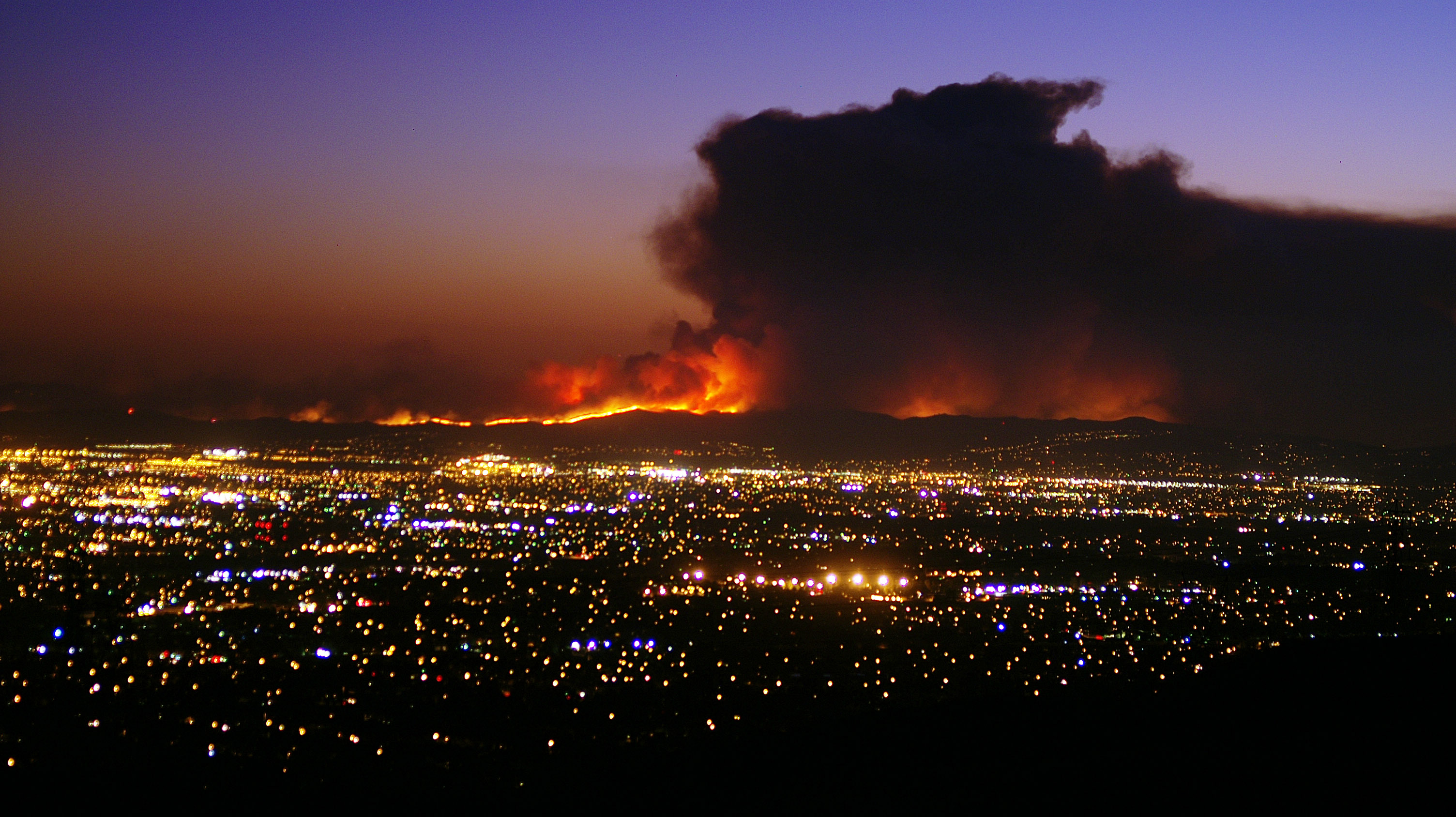
Sunset view of the 91 Freeway Fire
california school urban orange ontario tower nature water field lines yellow electric fence landscape high view farm scenic behind
Electric Sky
park sky mountains clouds landscape angle wide dramatic rancho cucamonga epm1
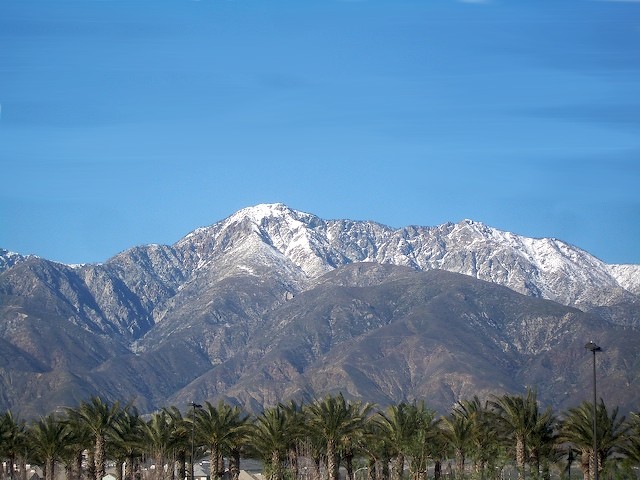
Rancho Cucamonga View
california travel vacation people usa nature face canon landscape photo losangeles photographer expression picture fair adobe scream rollercoaster southerncalifornia pomona lacountyfair 2010 fairplex 40d topazclean topazadjust topazdenoise photographersnaturecom davetoussaint photoshoptopazlabs
Roller Coaster Scream
california travel vacation people woman usa nature face canon landscape photo losangeles photographer princess expression picture fair aerial adobe acrobat southerncalifornia pomona act lacountyfair 2010 highwire fairplex 40d topazclean topazadjust topazdenoise photographersnaturecom davetoussaint photoshoptopazlabs
High Wire Princess
county new art museum rural robot education lab artist gallery technology mechanical bionic tech artgallery grant north places center exhibit science exhibition leipzig institute medical robots business research workshop artists nd inventor educational inventions interactive electronic museums electrical robotics dakota development sciences exhibits futuristic scientists cybernetics scientist attractions assembly institutes mechatronics cybernetic photovoltaic photonic robotic mechatronic technological siegel techy centers inventors bionics photovoltaics photonics autonomic optoelectronic croasdell interactives optoelectronics autonomics popnology mrisar
MRISAR’s 5 Finger Robot Arm at Popnology
county new art museum rural robot education lab artist gallery technology mechanical bionic tech artgallery grant north places center exhibit science exhibition leipzig institute medical robots business research workshop artists nd inventor educational inventions interactive electronic museums electrical robotics dakota development sciences exhibits futuristic scientists cybernetics scientist attractions assembly institutes mechatronics cybernetic photovoltaic photonic robotic mechatronic technological siegel techy centers inventors bionics photovoltaics photonics autonomic optoelectronic croasdell interactives optoelectronics autonomics popnology mrisar
MRISAR's 3 Finger Rail Robotic Arm at Popnology
county new art museum rural robot education lab artist gallery technology mechanical bionic tech artgallery grant north places center exhibit science exhibition leipzig institute medical robots business research workshop artists nd inventor educational inventions interactive electronic museums electrical robotics dakota development sciences exhibits futuristic scientists cybernetics scientist attractions assembly institutes mechatronics cybernetic photovoltaic photonic robotic mechatronic technological siegel techy centers inventors bionics photovoltaics photonics autonomic optoelectronic croasdell interactives optoelectronics autonomics popnology mrisar
MRISAR’s 3 Finger Robot Arm at Popnology
california nature trekking canon landscape outdoors hiking powershot wilderness southerncalifornia sierraclub hps sangabrielmountains sanbernardinonationalforest cucamongapeak cucamongawilderness transverserange hundredpeakssection sx260 etiwandapeak
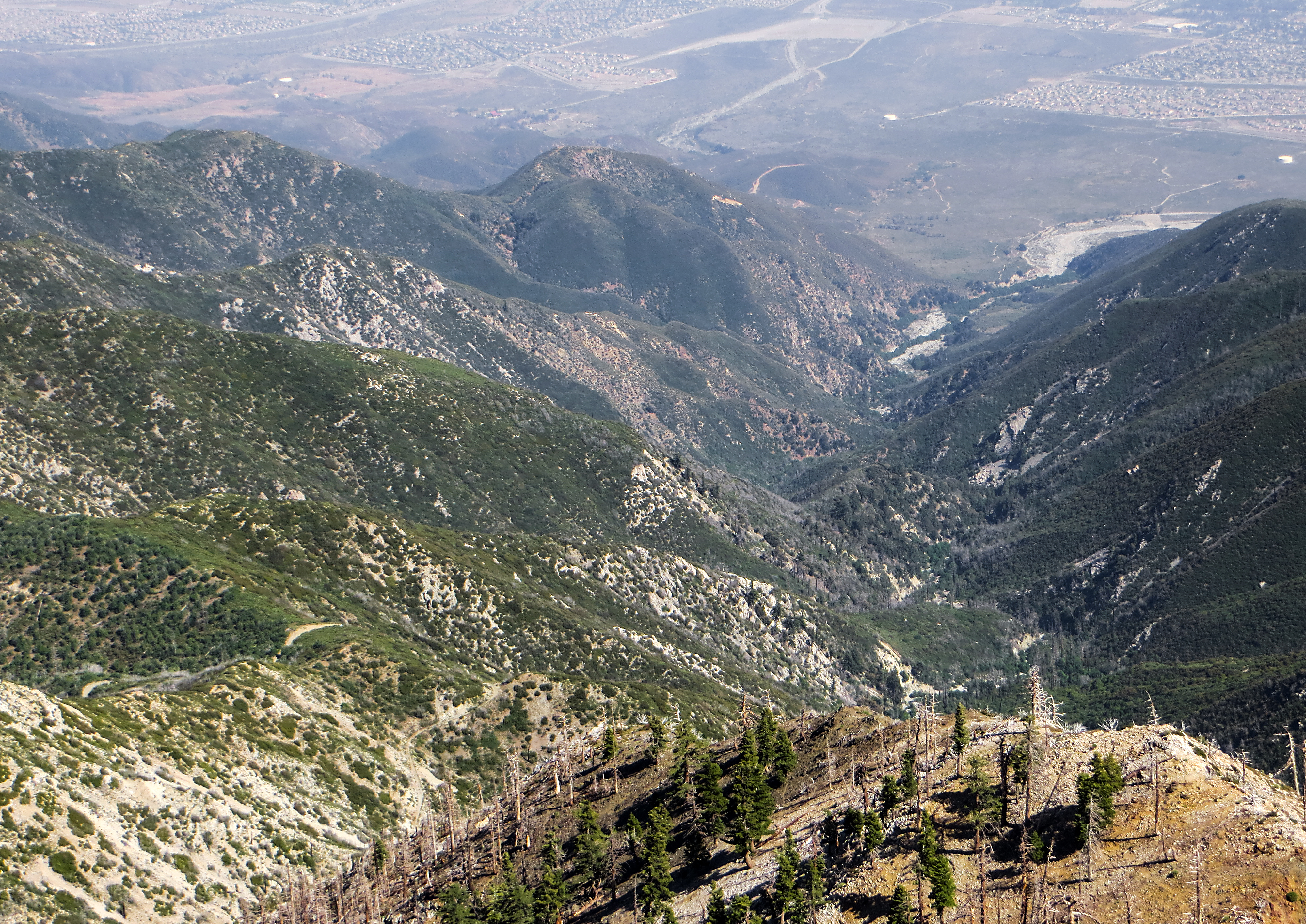
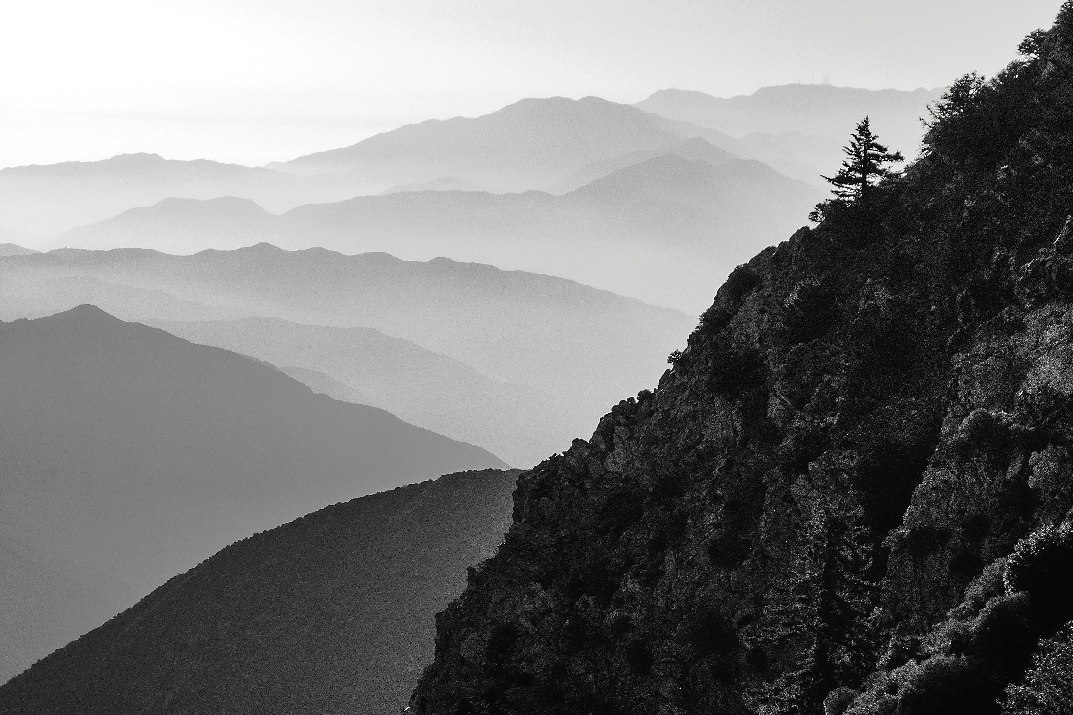
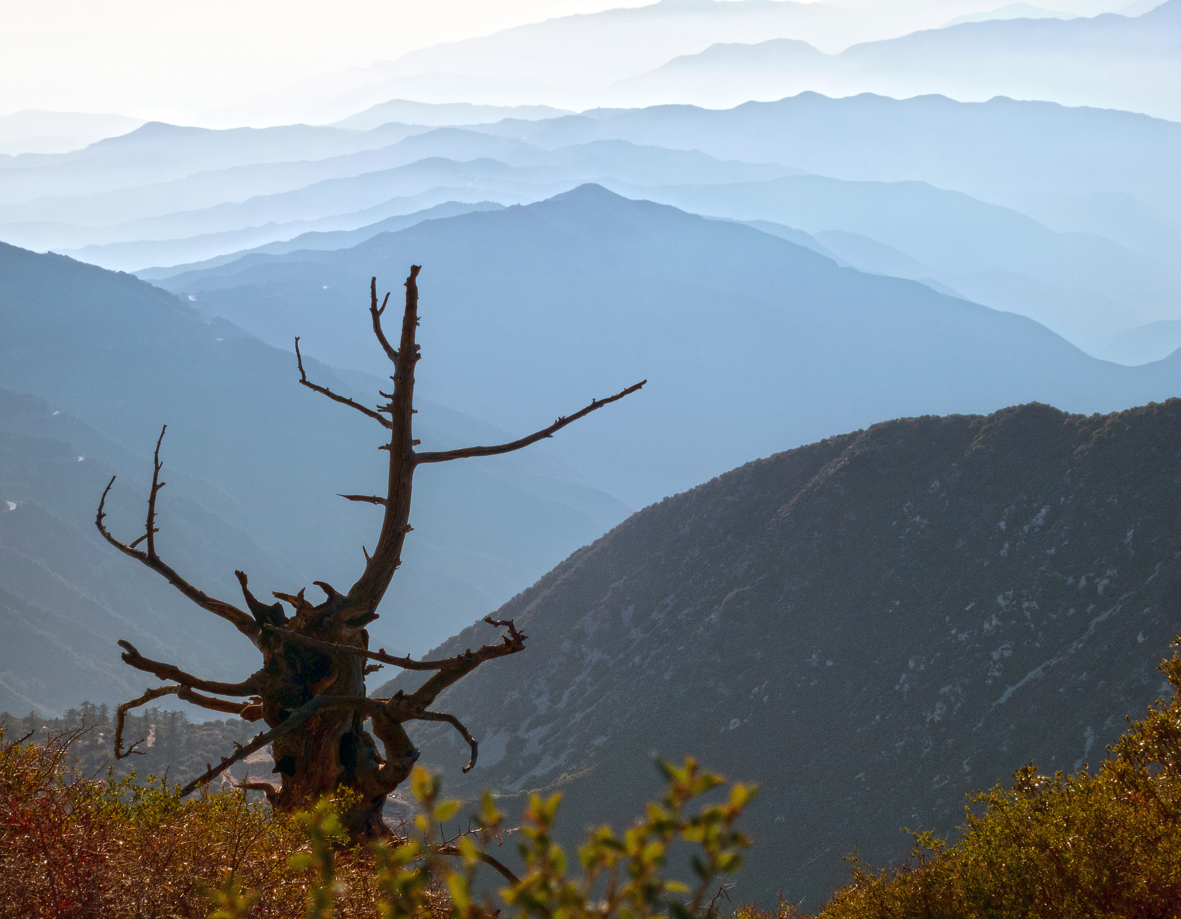
View down Cucamonga Peak
california usa weather clouds landscape day cloudy claremont
A very clear day
california travel vacation usa nature canon landscape photo losangeles lab photographer picture fair adobe southerncalifornia pomona lacountyfair 2010 jurassicpark fairplex 40d topazclean topazadjust topazdenoise photographersnaturecom davetoussaint photoshoptopazlabs
Jurassic Park Lab
california mountains cycling sierras descenders monsterclimbs mc2011 monsterclimbs2011 mc2011day1 monsterclimbsv
view of Mt. Baldy Road
landscaping
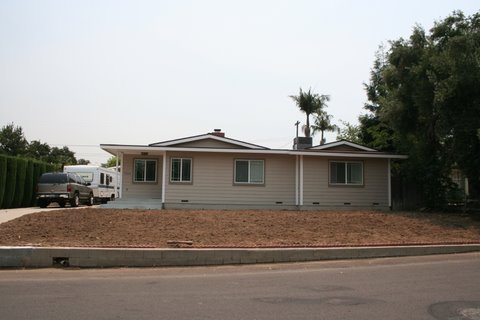
West Facing Street View
bw white black nature canon landscape outdoors haze view hiking powershot socal pointandshoot southerncalifornia hps sangabrielmountains s100 sanbernardinonationalforest icehousecanyon cucamongawilderness hundredpeakssection mountbaldyvillage
Afternoon Haze, Suglarloaf Mountain
california clouds canon outdoors socal pomona canondslr cloudscapes inlandempire thunderstroms twtme thundrestorm canon1740f4lusmgroup naturallymagnificent kenszok
Storm Clouds over Brown Hills
california mountains nature canon outdoors lowlight socal canon5d canondslr canon70200f4l upland inlandempire cucamongapeak uplandcalifornia sbcusa naturallymagnificent aphotographersnature kenszok
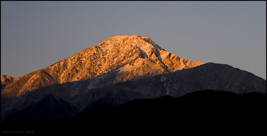
Last Rays on Cucamonga Peak
nature landscape outdoors view hiking socal southerncalifornia hps sangabrielmountains sanbernardinonationalforest icehousecanyon cucamongawilderness hundredpeakssection mountbaldyvillage
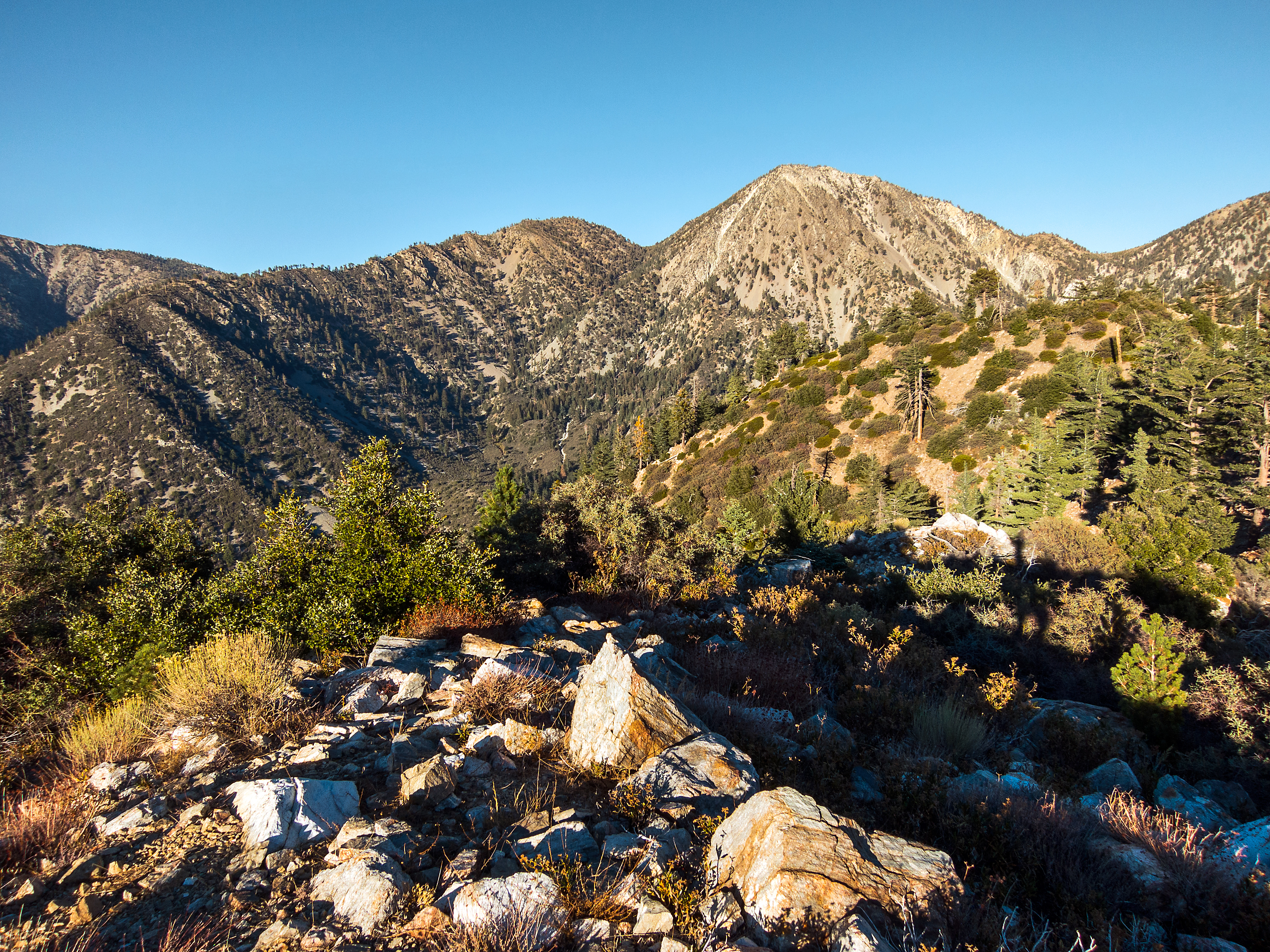
Telegraph Peak from Sugarloaf
mountain peak victoriagardens ranchocucamonga cucamongapeak foothillcities foothillcommunities
Cucamonga Peak
nature canon landscape outdoors view hiking powershot socal pointandshoot southerncalifornia hps sangabrielmountains s100 sanbernardinonationalforest icehousecanyon cucamongawilderness hundredpeakssection mountbaldyvillage
Blue Haze, Sugarloaf Peak
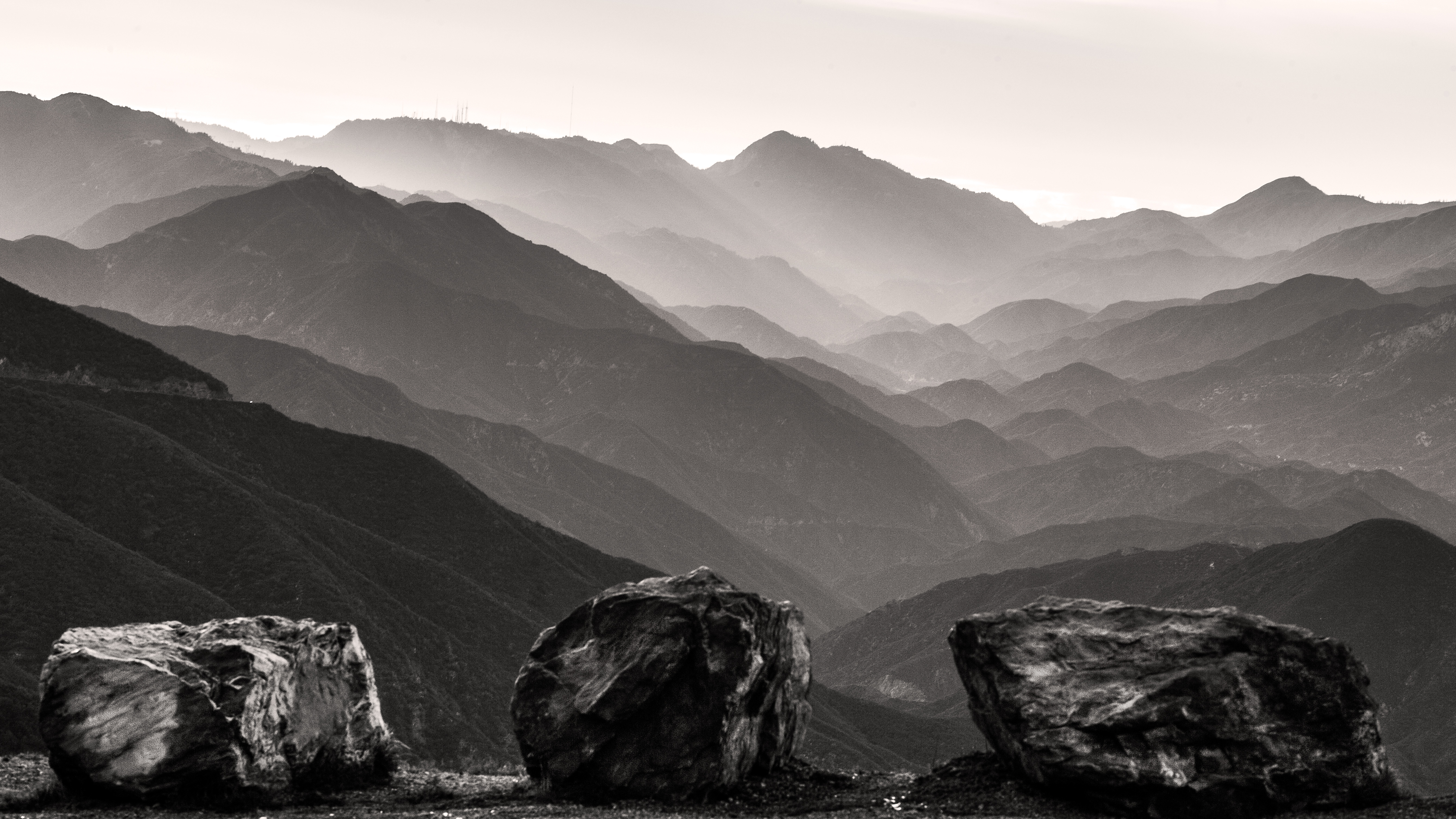
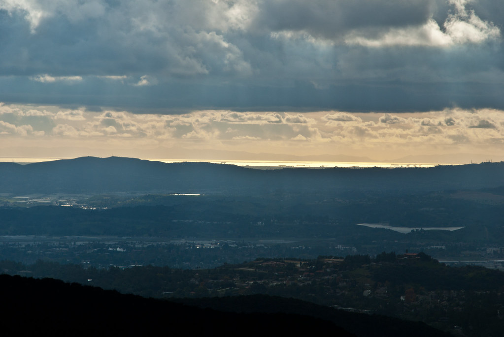
california blue orange white ontario green art yellow wall tile ceramic landscape airport mural explore orangegrove mtbaldy mtsanantonio 200901 anawesomeshot
Past Vista