Elevation of Redbird Rd, Birmingham, AL, USA
Location: United States > Alabama > Jefferson County > Birmingham >
Longitude: -86.954272
Latitude: 33.240177
Elevation: 124m / 407feet
Barometric Pressure: 100KPa
Elevation Map:
Satellite Map:
Related Photos:

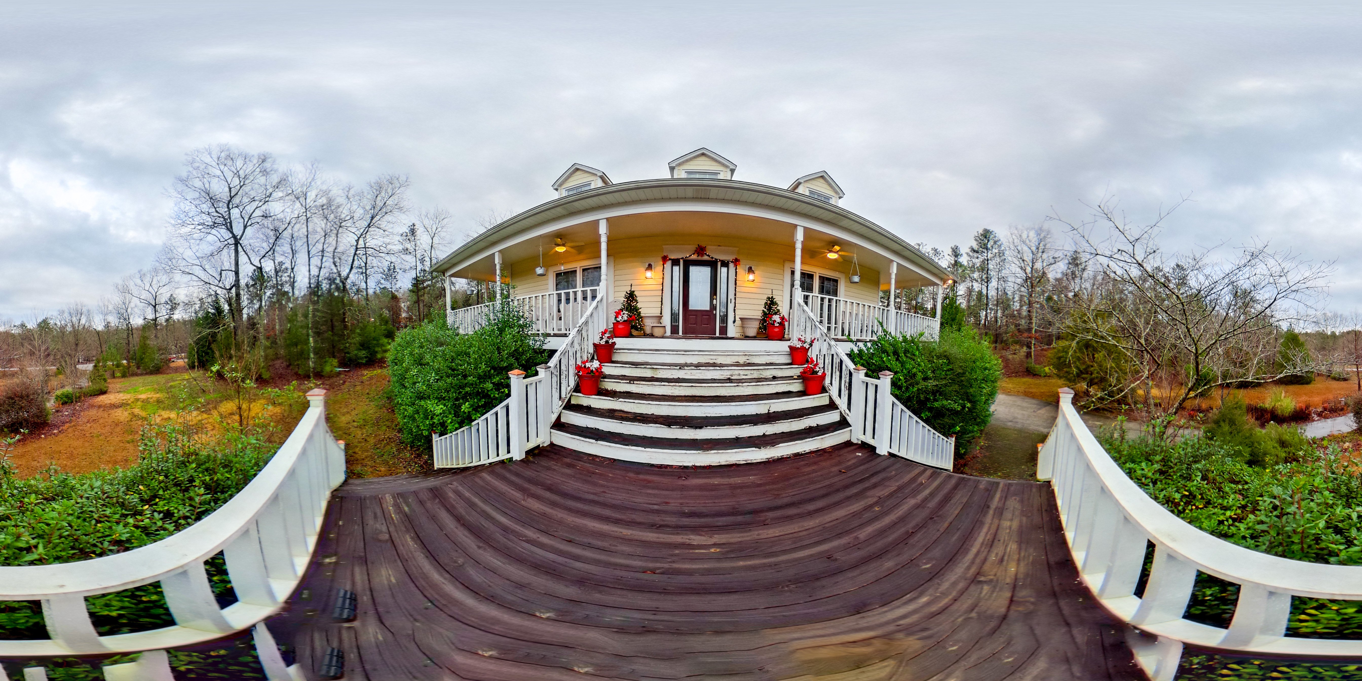
Better Days

lady view

Forest Sunset

The Long Flight Home Alt View

girls view

_C1W0560.jpg

Anatomy of a Dark Machine

Buddy - Modified

16mm-Zenitar

mother's view

Venus Transit

Luna Moth

Pond - The Fish 1 to 1 crop

Blood-wet Womb / Nearing the End

View from the Bench

Cahaba River near Halfmile Shoals, Bibb County, AL

Pond - Aerial View 02
Post Storm Experiment
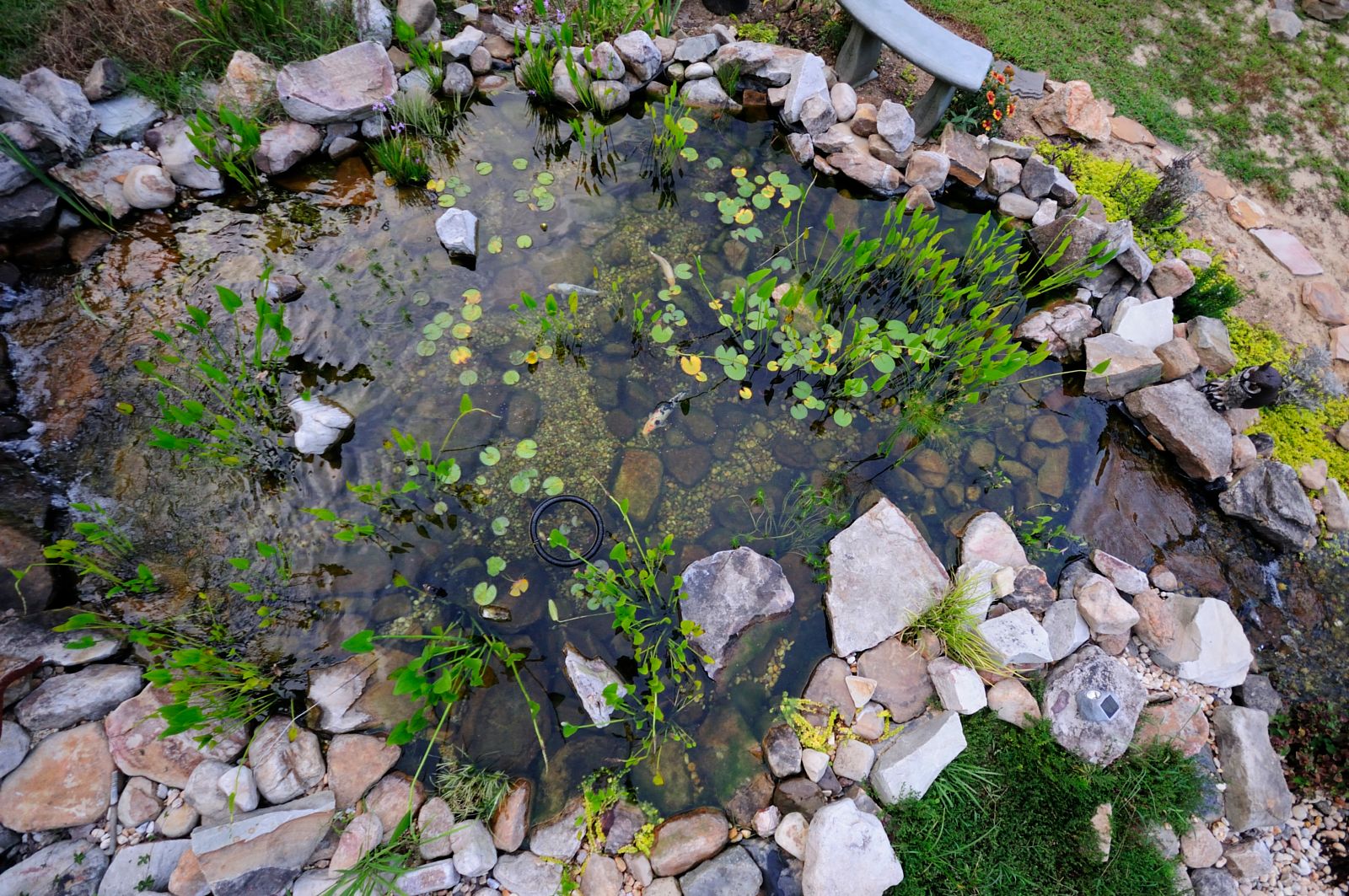
Pond - Aerial View

_C1W0562.jpg

Upper Harrowing-on-the-Void
#lunchwalk #intothewoods #newfrontier
#lunchwalk
DSC_9549.jpg

DSC_9505.jpg

DSC_9515.jpg
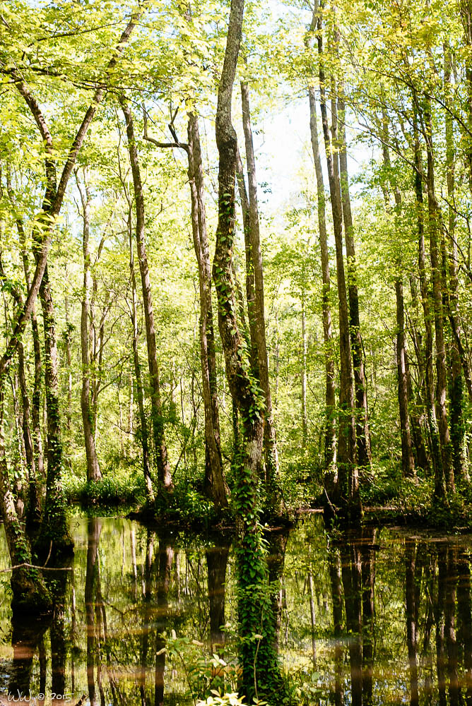
Ebenezer Swamp

DSC_1813.jpg

Little Stinker
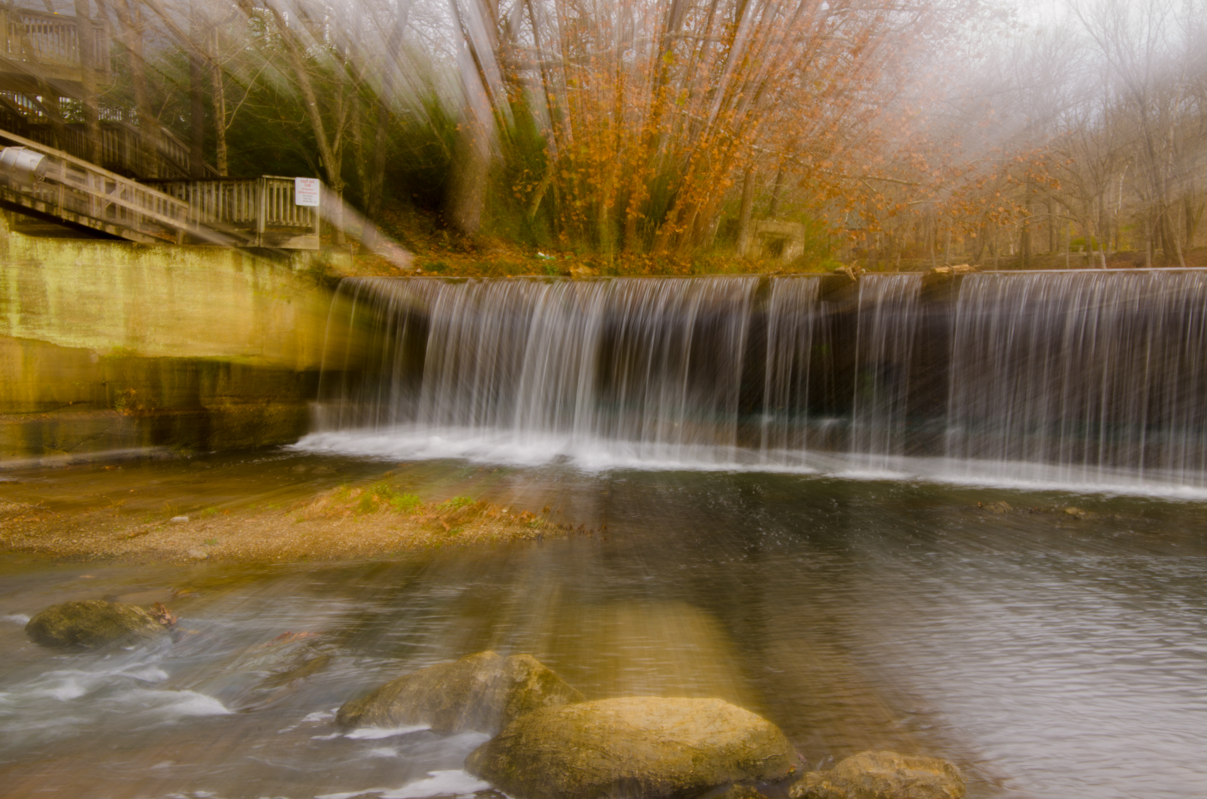
Grist Mill Dam - Tannehill Ironworks Historical State Park
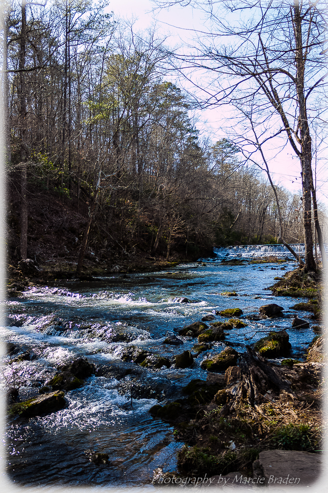
Roupes Creek - Tannehill Ironworks Historical State Park
Tannehill State Park
Living Rivers: A Retreat on the Cahaba
DSC_4457.jpg
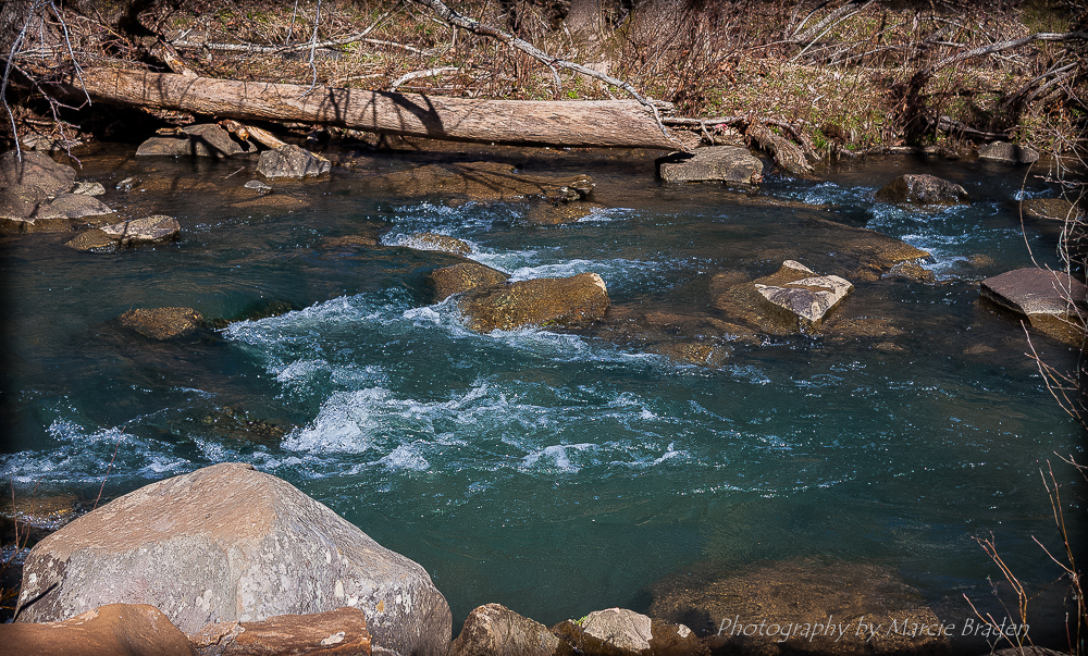
Wet Rocks
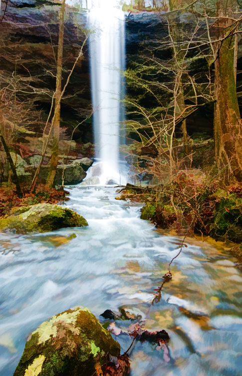
High Rock Falls - Topazed

Farmers Pond Helena, Alabama
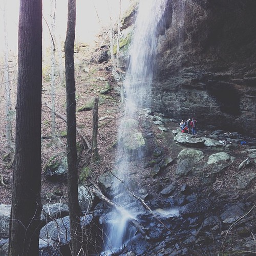
The gracias teens that let me tag along for the hike to the fall. #latergram
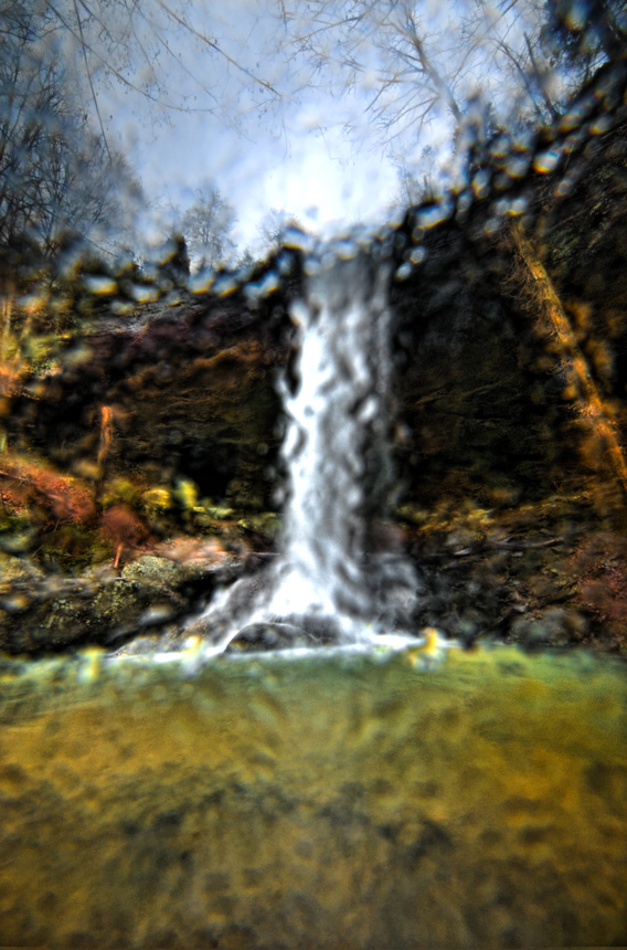
Wet Filter

An unexpected visitor
Topographic Map of Redbird Rd, Birmingham, AL, USA
Find elevation by address:

Places near Redbird Rd, Birmingham, AL, USA:
8486 Shoreside Ln
2057 Long Leaf Lake Dr
Co Rd 93, Helena, AL, USA
311 Quail Ridge Ct
Chestnut Ln, Helena, AL, USA
1759 Garden Trail
Lindsey Drive
Lindsey Drive
Lindsey Drive
Canoles Dr, Bessemer, AL, USA
1731 Oak Park Ln
Co Rd 91, Helena, AL, USA
7030 Dickey Springs Rd
Pocahontas Rd, Bessemer, AL, USA
325 Old Cahaba Trail
South Shades Crest Road
103 Hickory St
Bell Hill Rd, Bessemer, AL, USA
2085 Russet Woods Trail
Morgan Rd, Bessemer, AL, USA
Recent Searches:
- Elevation of Kreuzburger Weg 13, Düsseldorf, Germany
- Elevation of Gateway Blvd SE, Canton, OH, USA
- Elevation of East W.T. Harris Boulevard, E W.T. Harris Blvd, Charlotte, NC, USA
- Elevation of West Sugar Creek, Charlotte, NC, USA
- Elevation of Wayland, NY, USA
- Elevation of Steadfast Ct, Daphne, AL, USA
- Elevation of Lagasgasan, X+CQH, Tiaong, Quezon, Philippines
- Elevation of Rojo Ct, Atascadero, CA, USA
- Elevation of Flagstaff Drive, Flagstaff Dr, North Carolina, USA
- Elevation of Avery Ln, Lakeland, FL, USA