Elevation of Red Rock Rd, Tuscumbia, AL, USA
Location: United States > Alabama > Colbert County > Tuscumbia >
Longitude: -87.863793
Latitude: 34.6944153
Elevation: 169m / 554feet
Barometric Pressure: 99KPa
Elevation Map:
Satellite Map:
Related Photos:

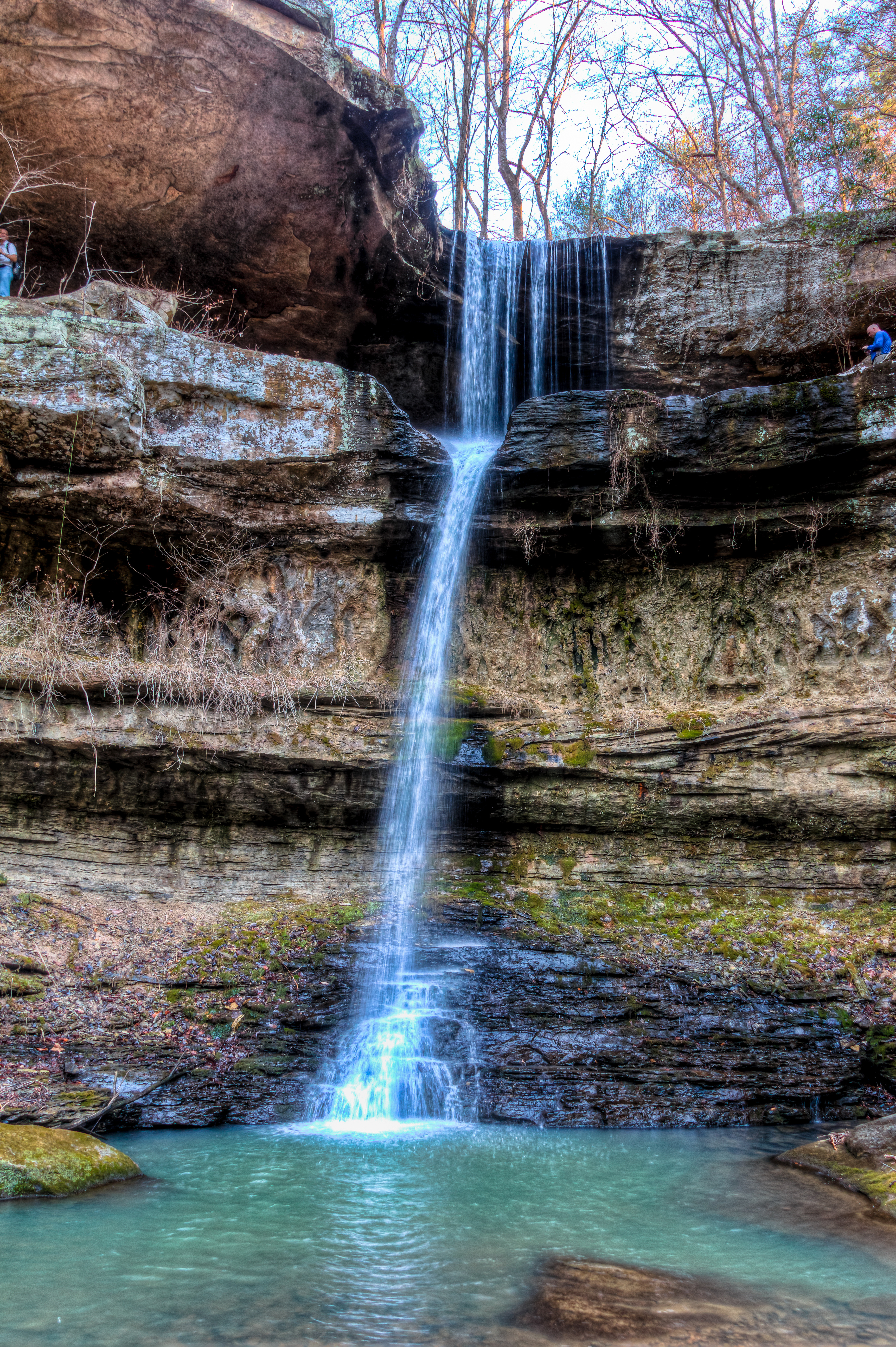
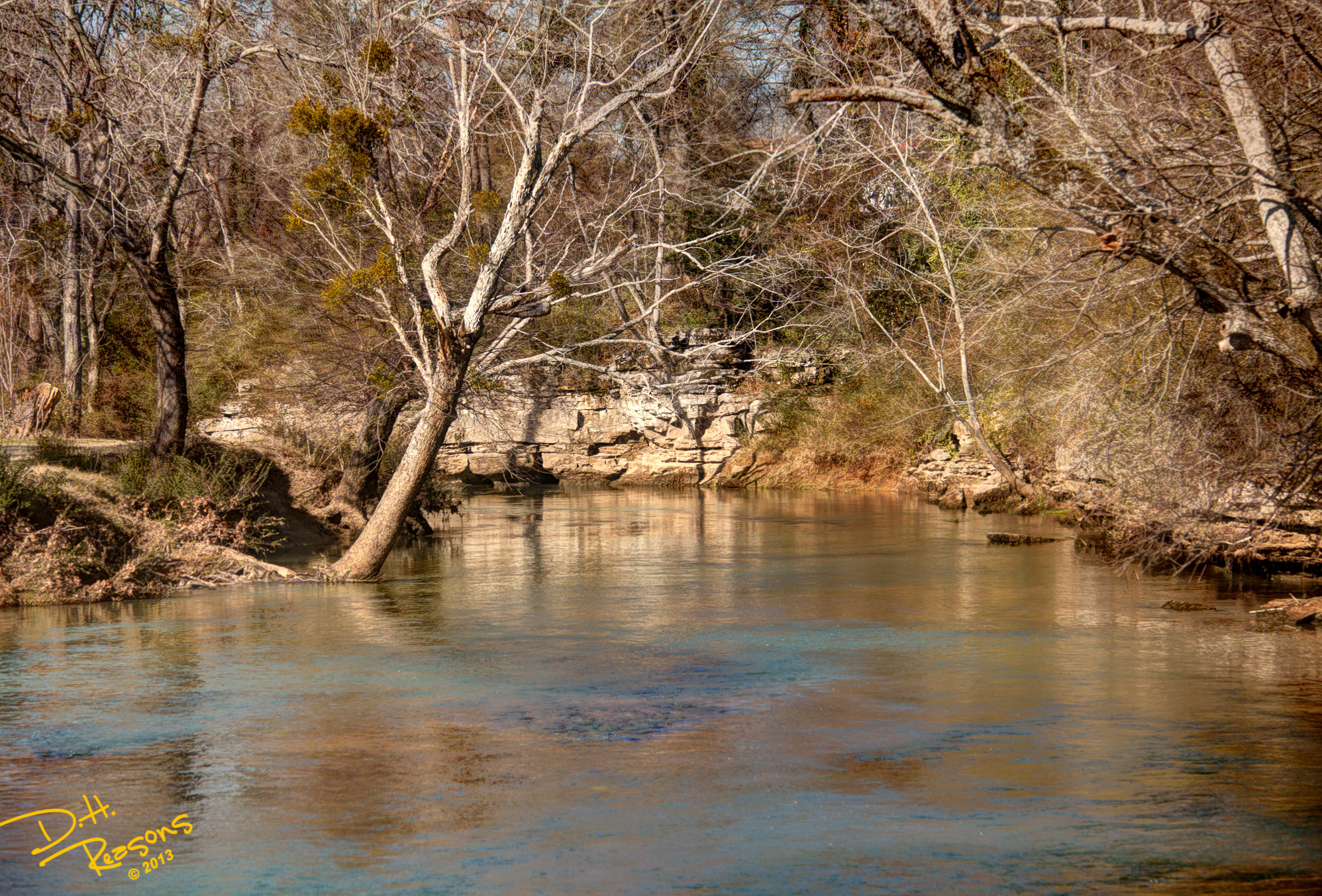
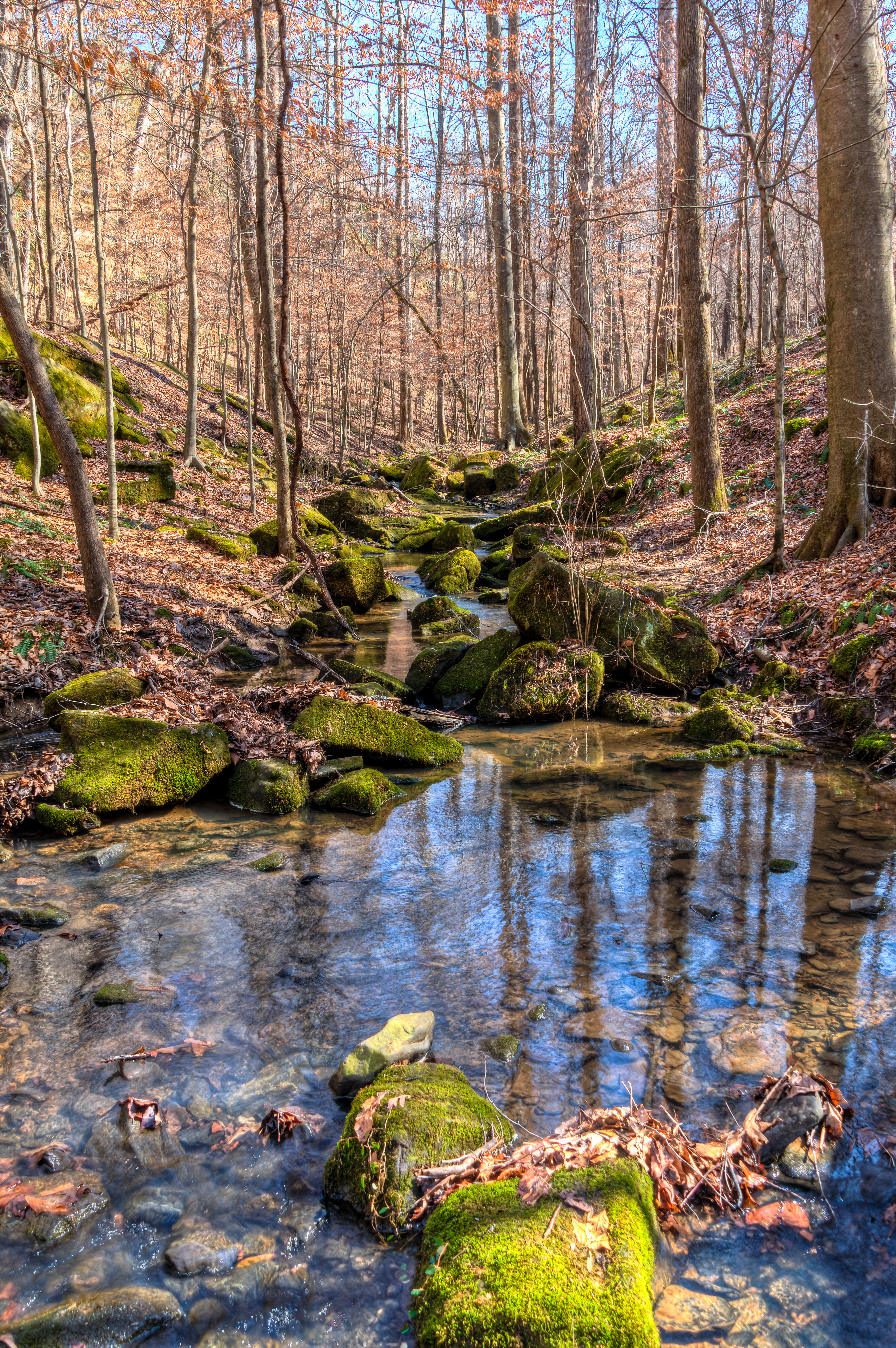
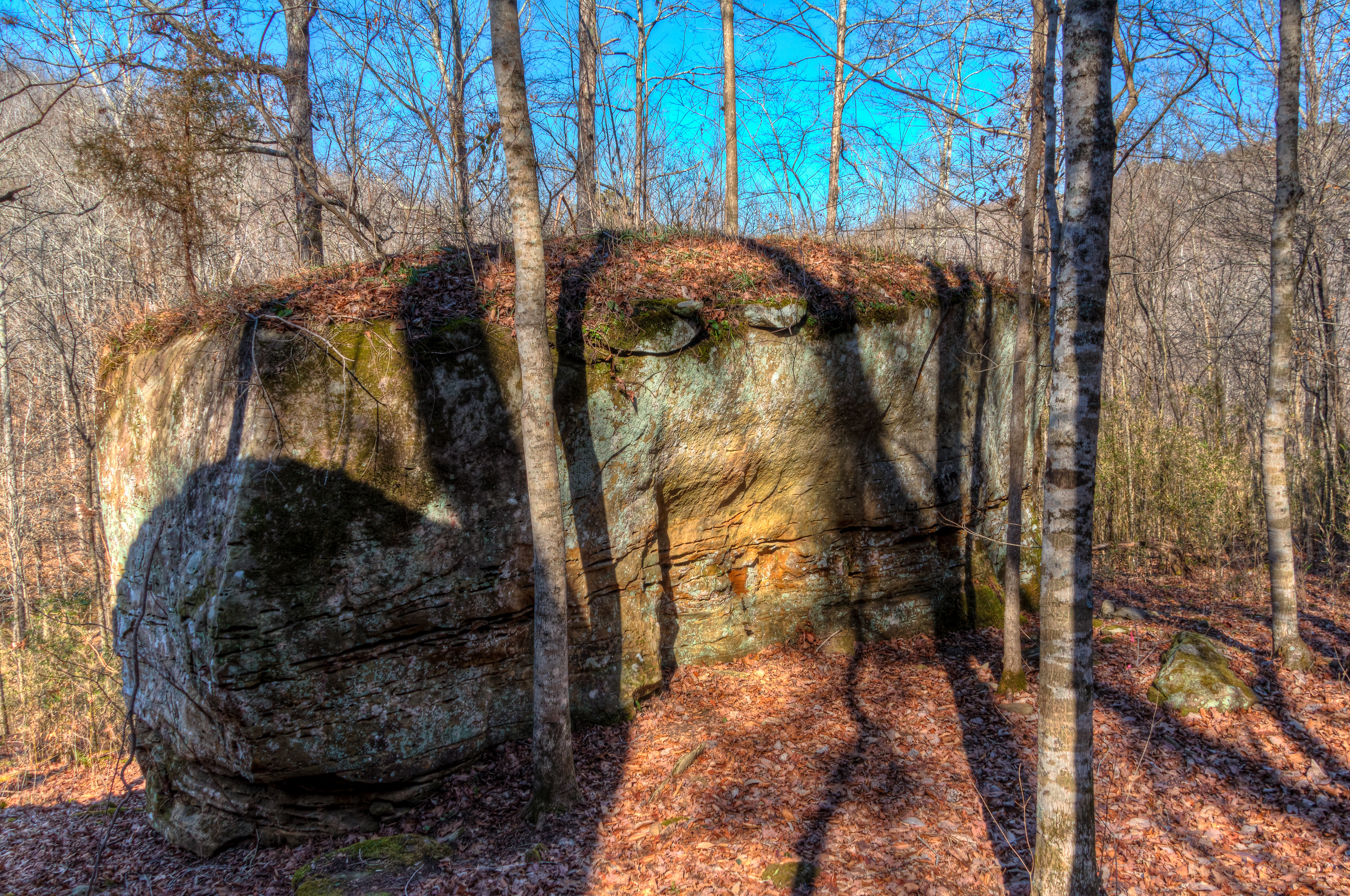
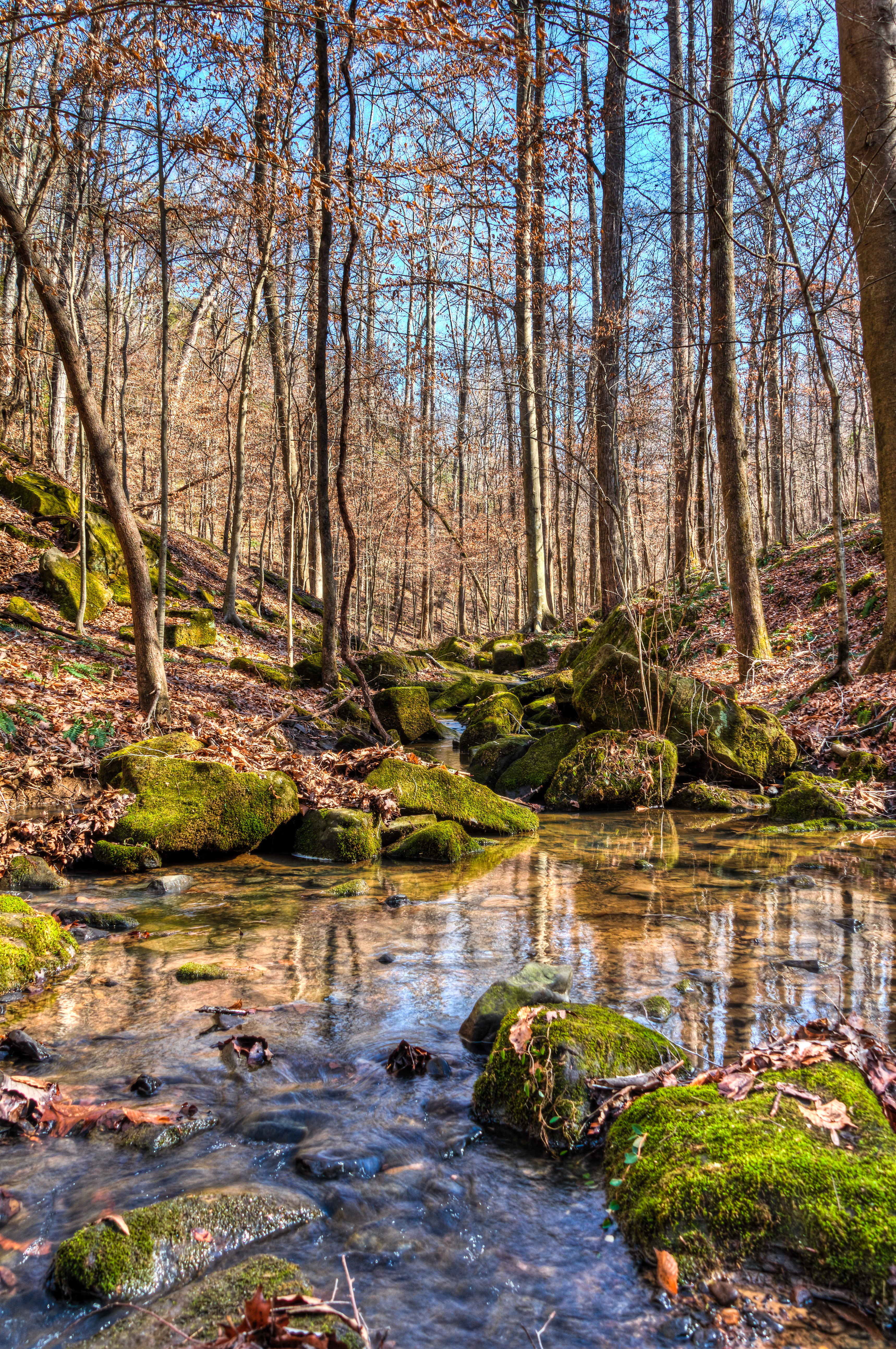
Cane Creek Canyon
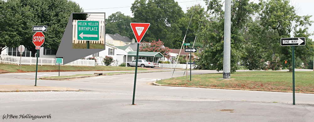
Wrong Way
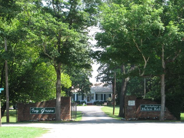
Entrance to Birthplace Helen Keller
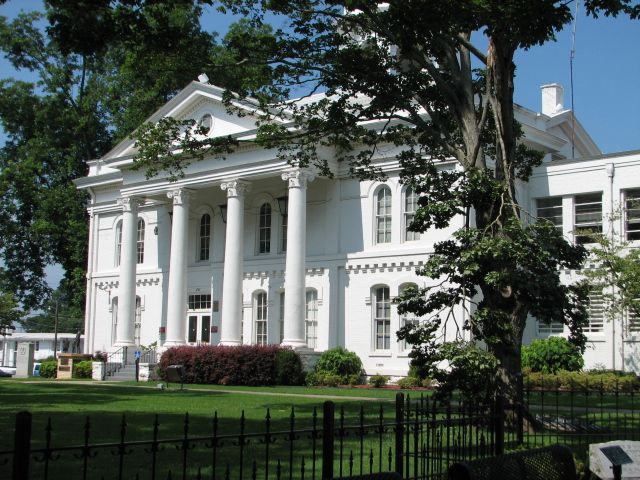
Colbert Co Courthouse Tuscumbia, Al
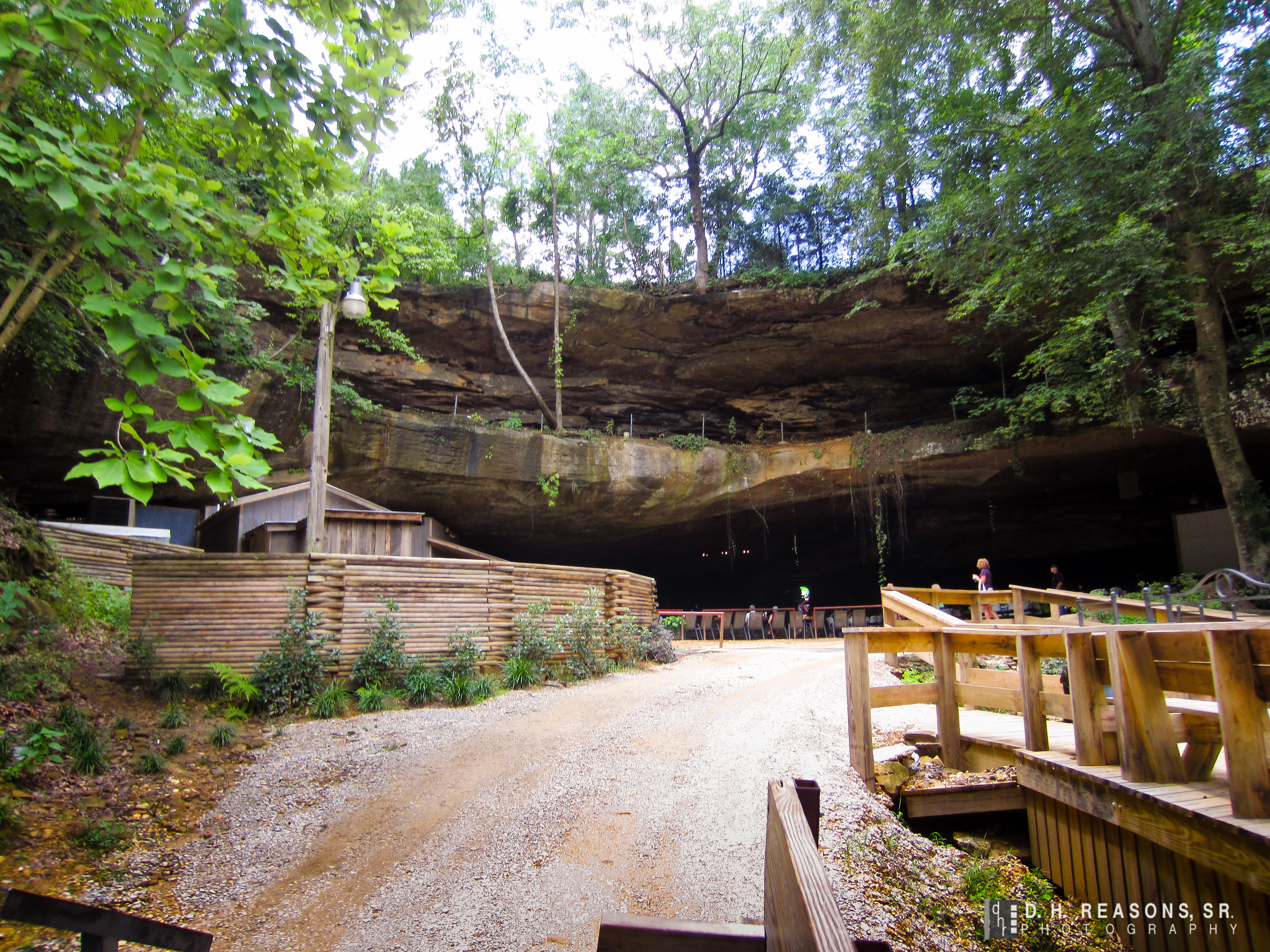
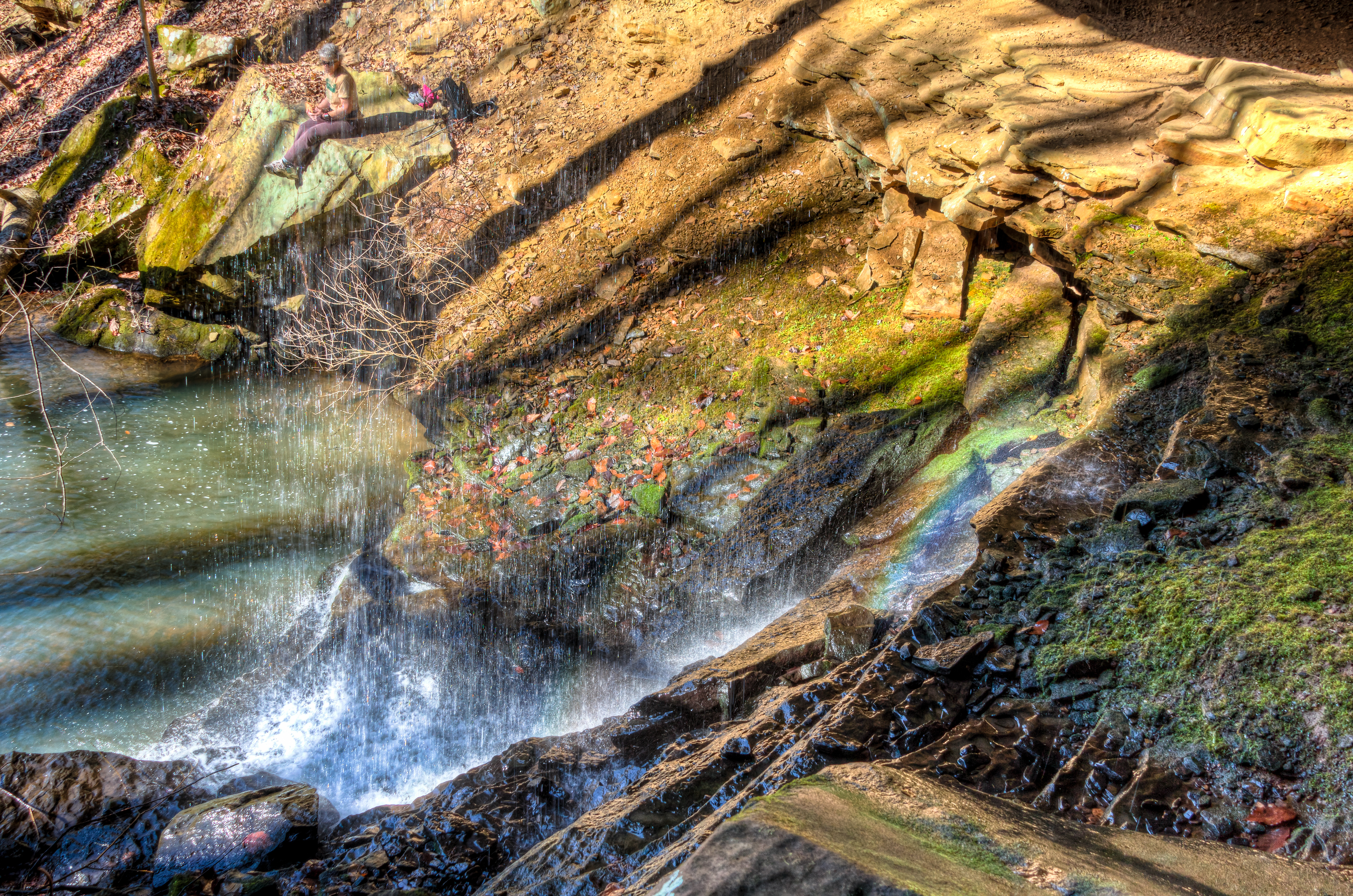
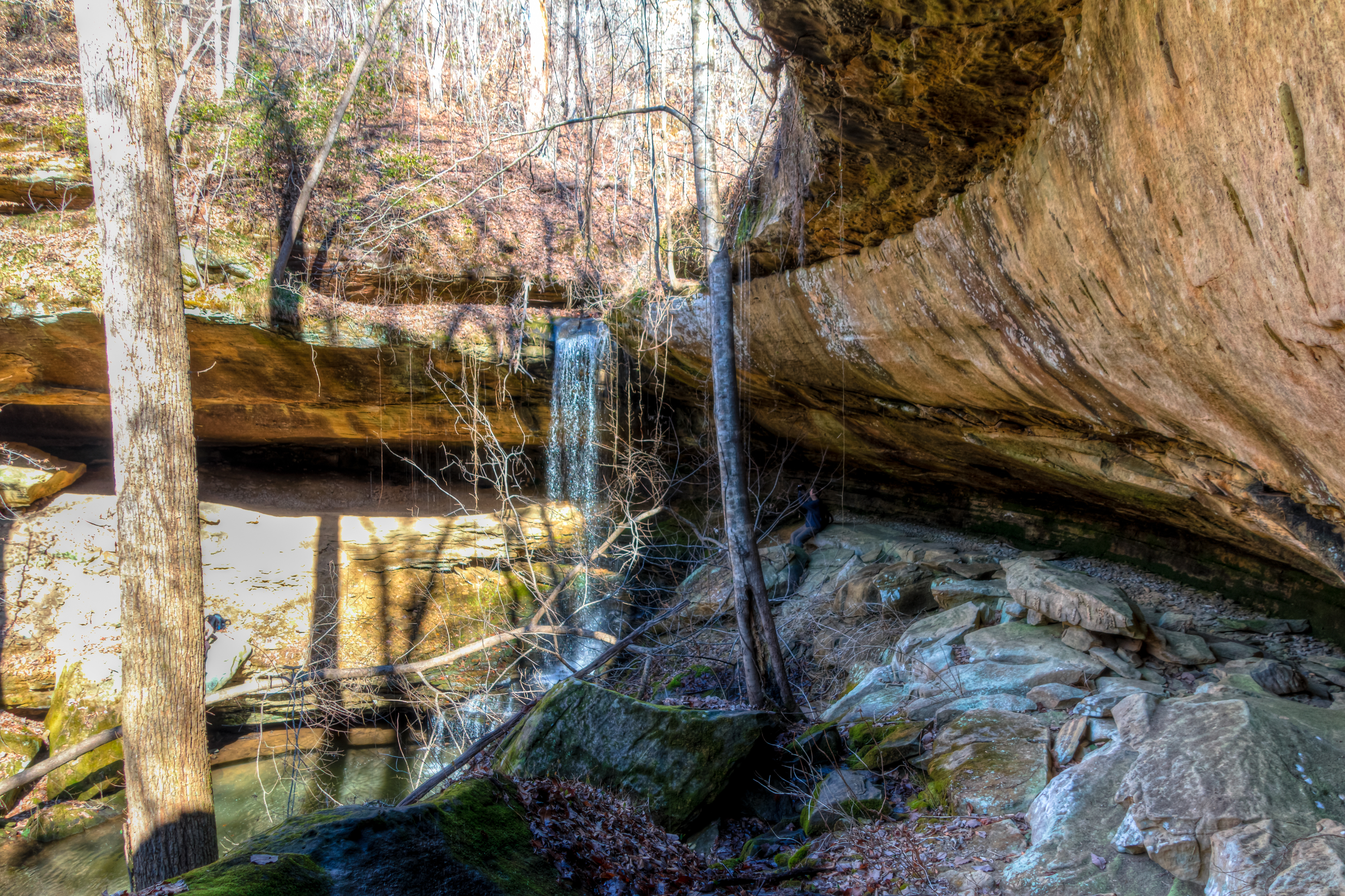
View from below
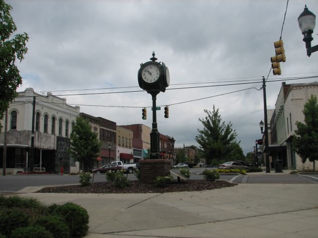
Downtown Tuscumbia, Al Town Clock
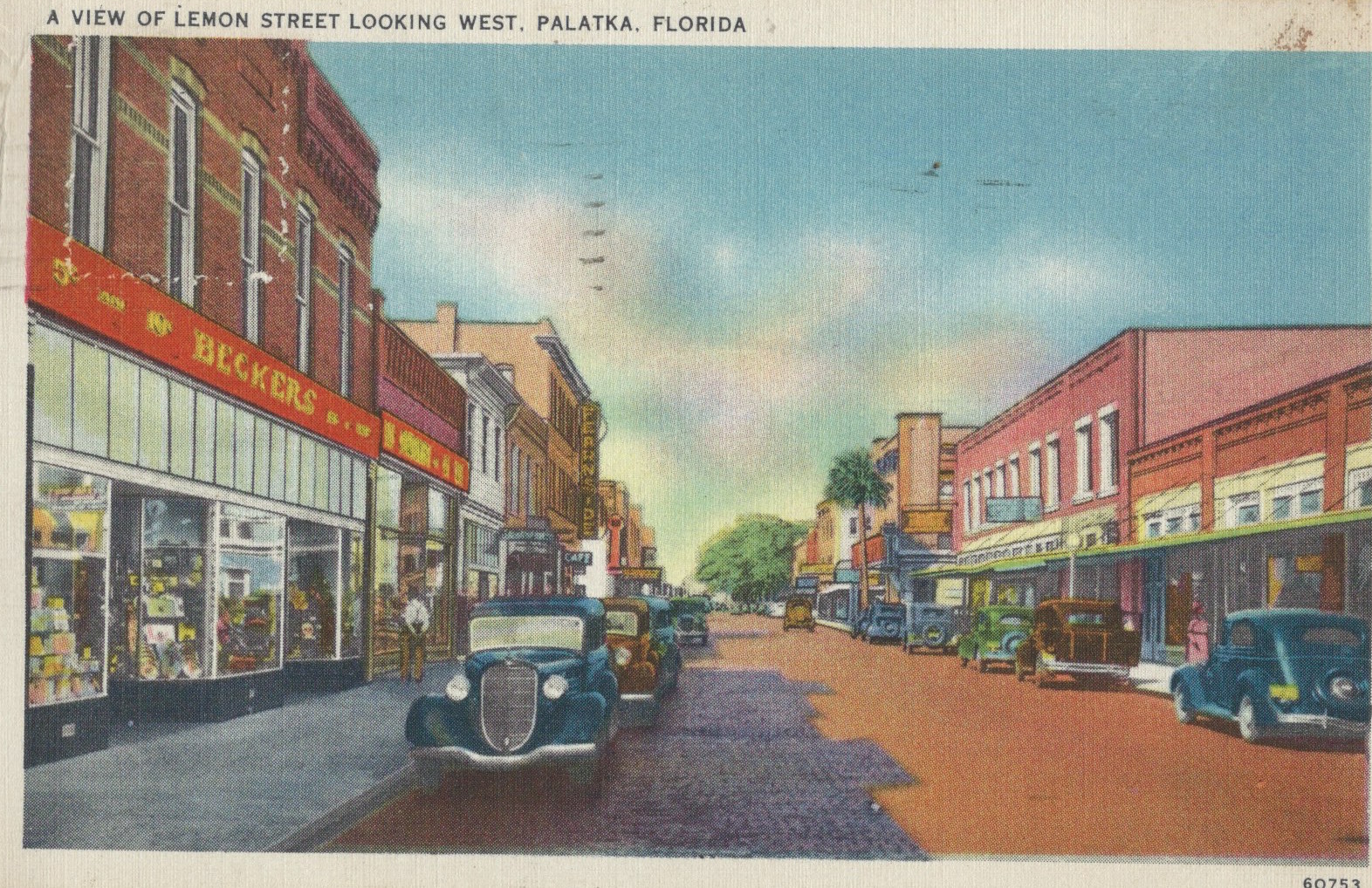
A view of Lemon Street Looking West, Palatka, Fl
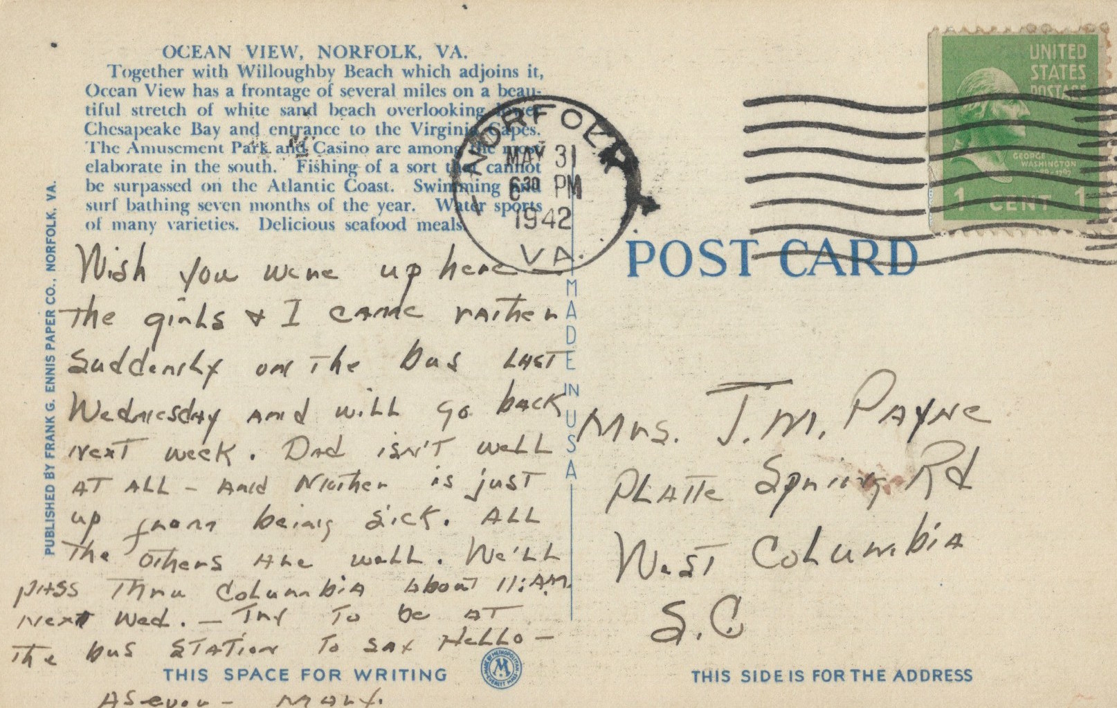
Ocean View Park at Night Norfolk Va (1942 May 31)
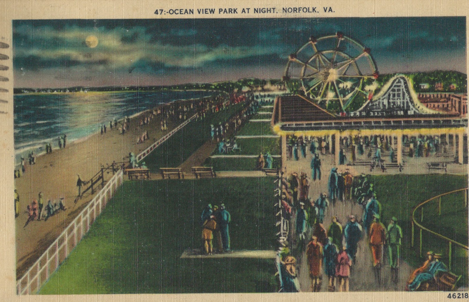
Ocean View Park at Night Norfolk Va (1942 May 31)
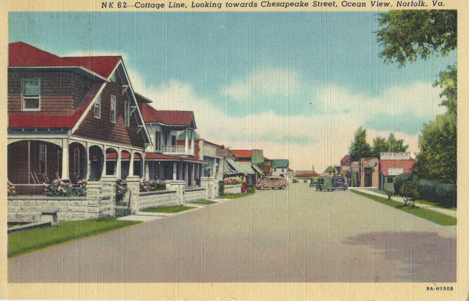
Cottage Line, Looking Toward Chesapeake Street Ocean View, Norfolk, Va
Cottage Line, Looking Toward Chesapeake Street Ocean View, Norfolk, Va
A view of Lemon Street Looking West, Palatka, Fl (10/3/49)

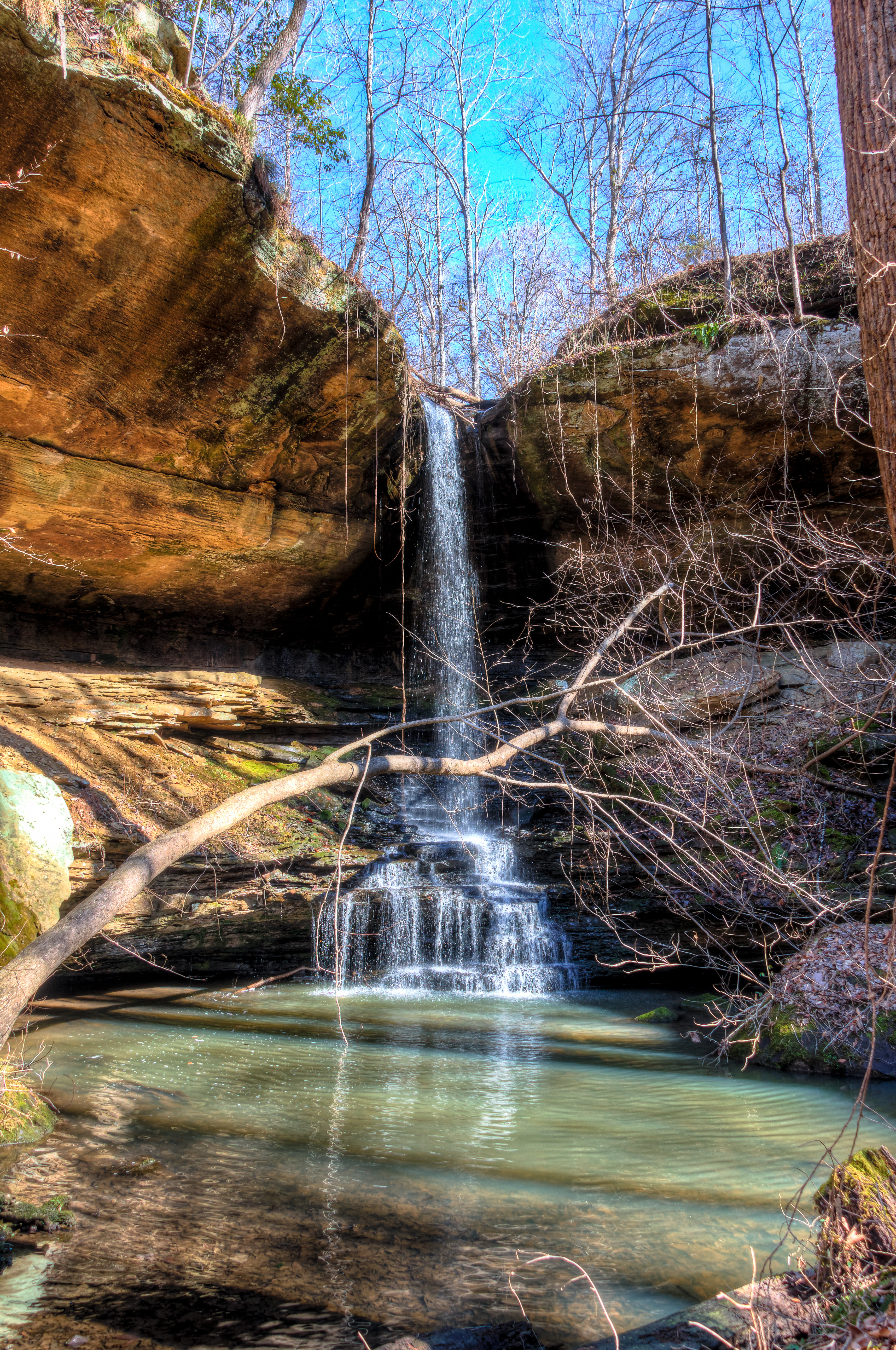
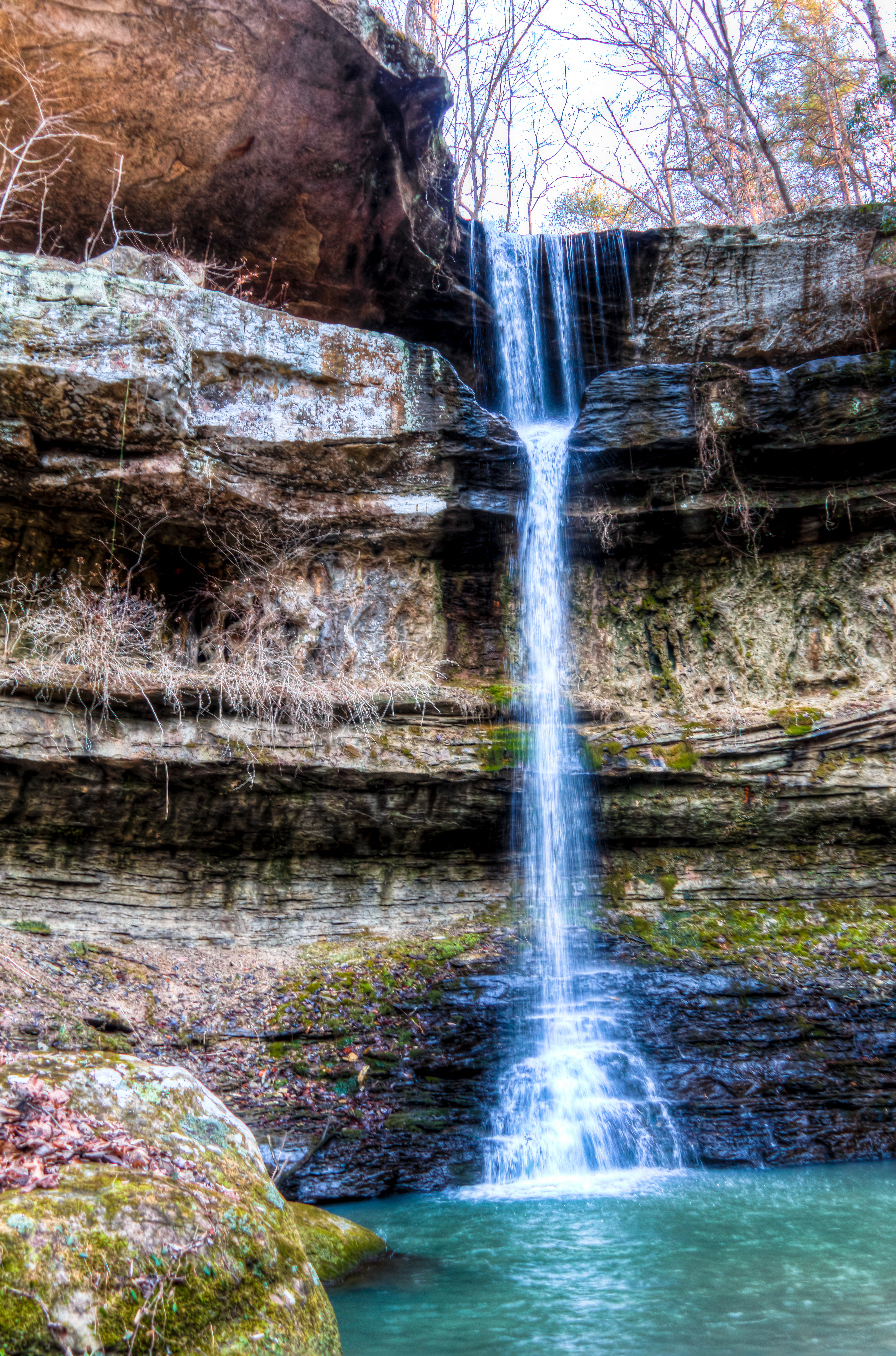
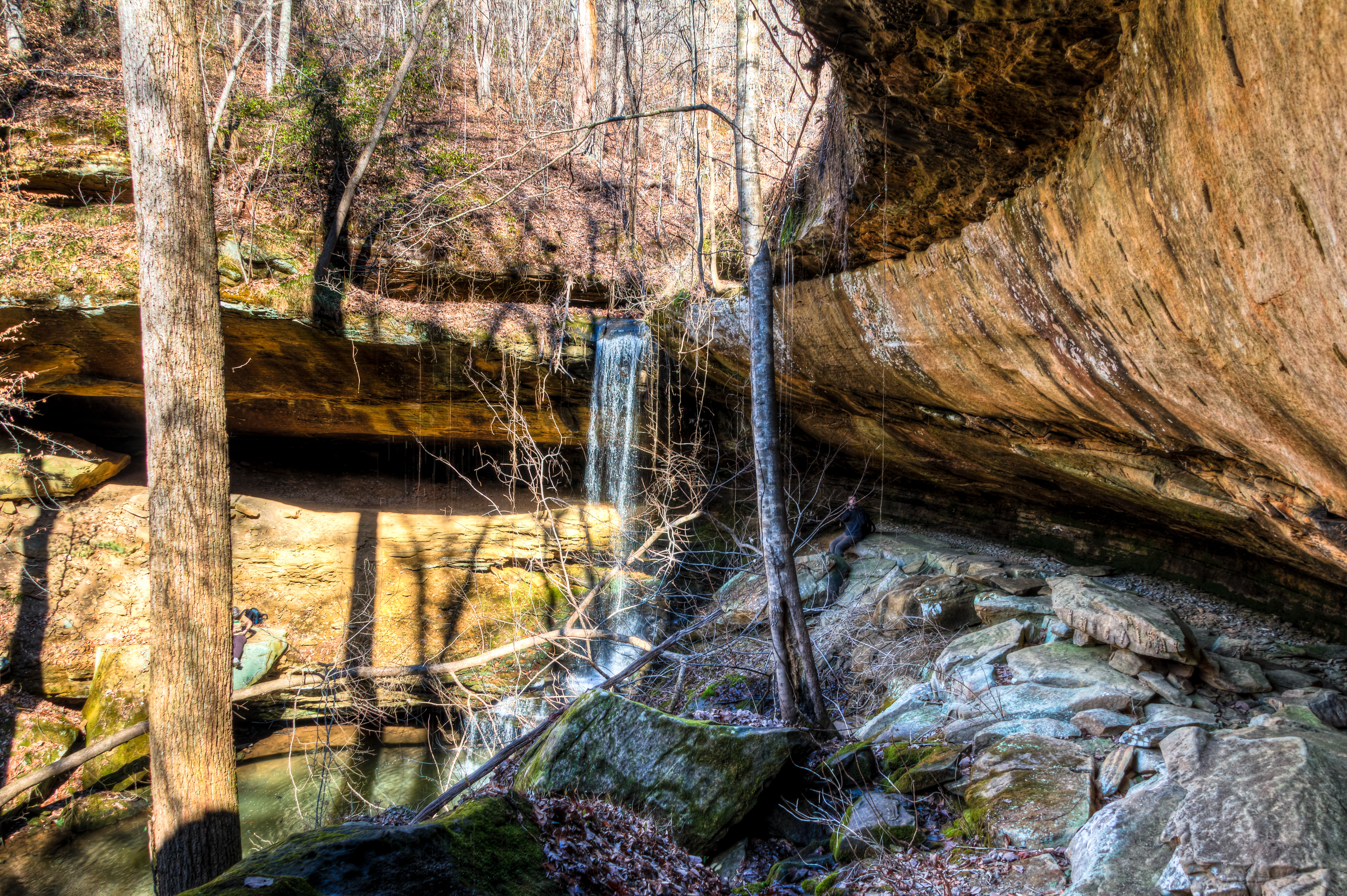
Water Fall Jan-08-2010
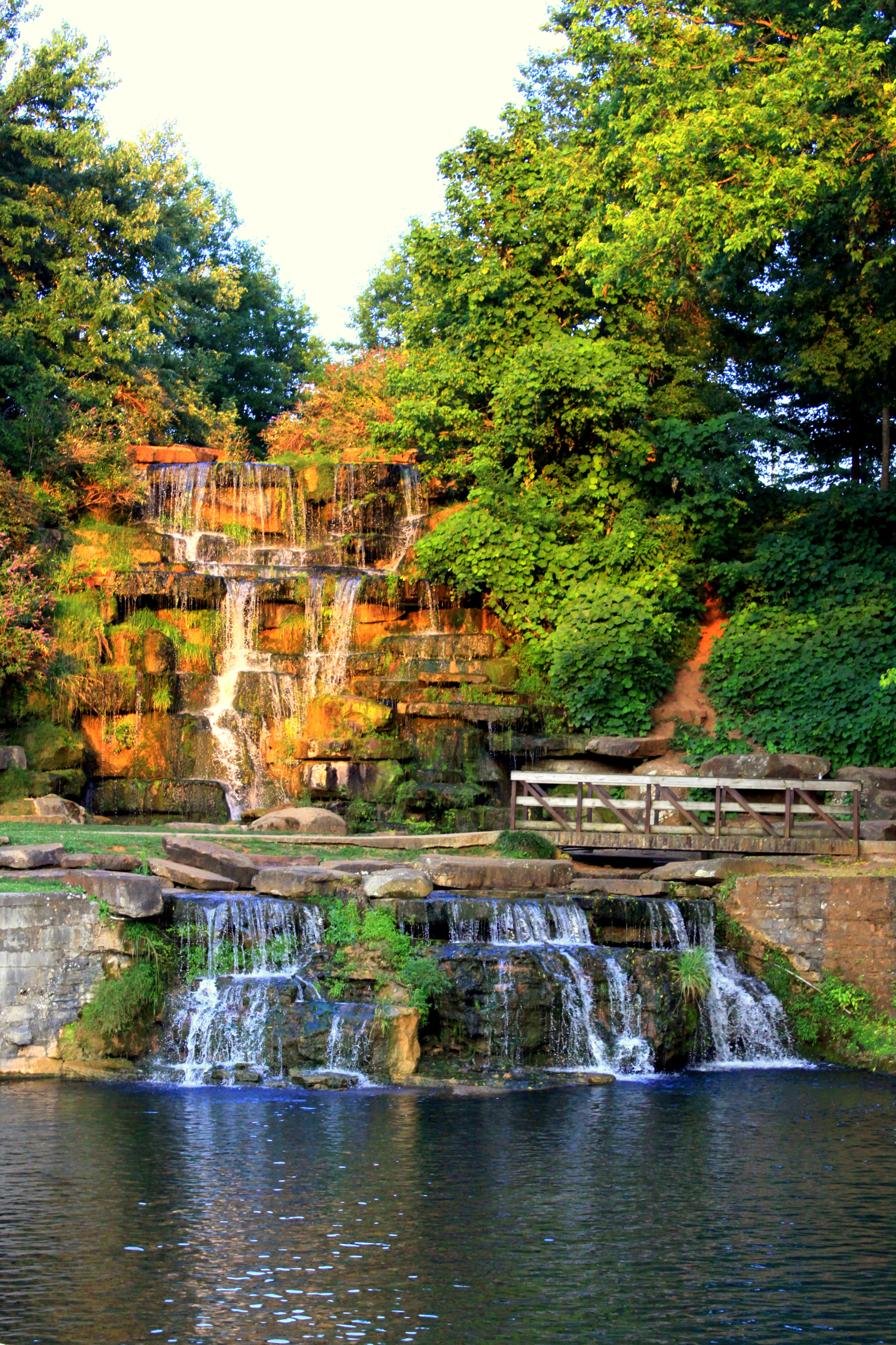
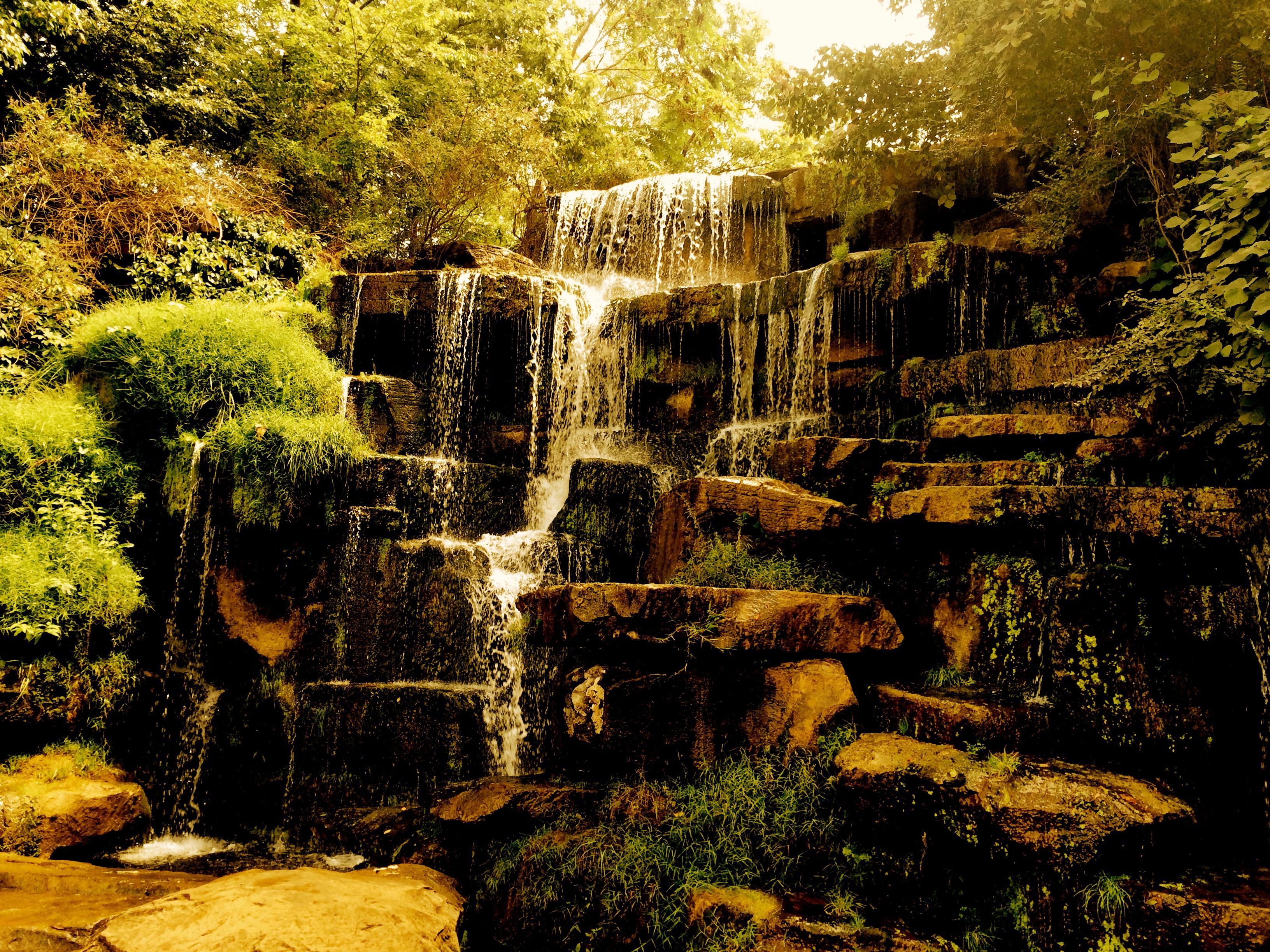
Cold Water Falls - Tuscumbia, AL
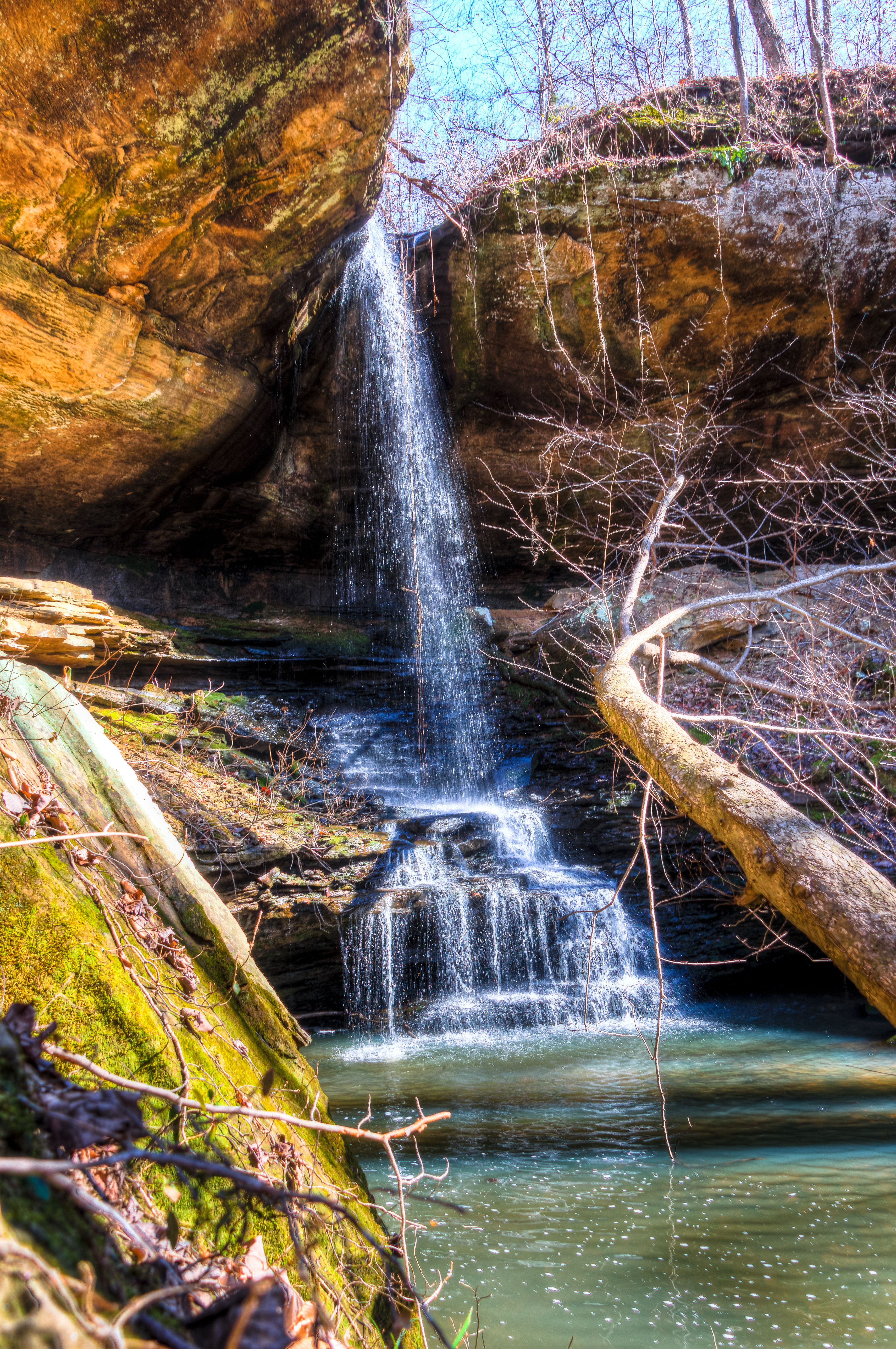
Cane Creek Nature Preserve
Cane Creek Nature Preserve
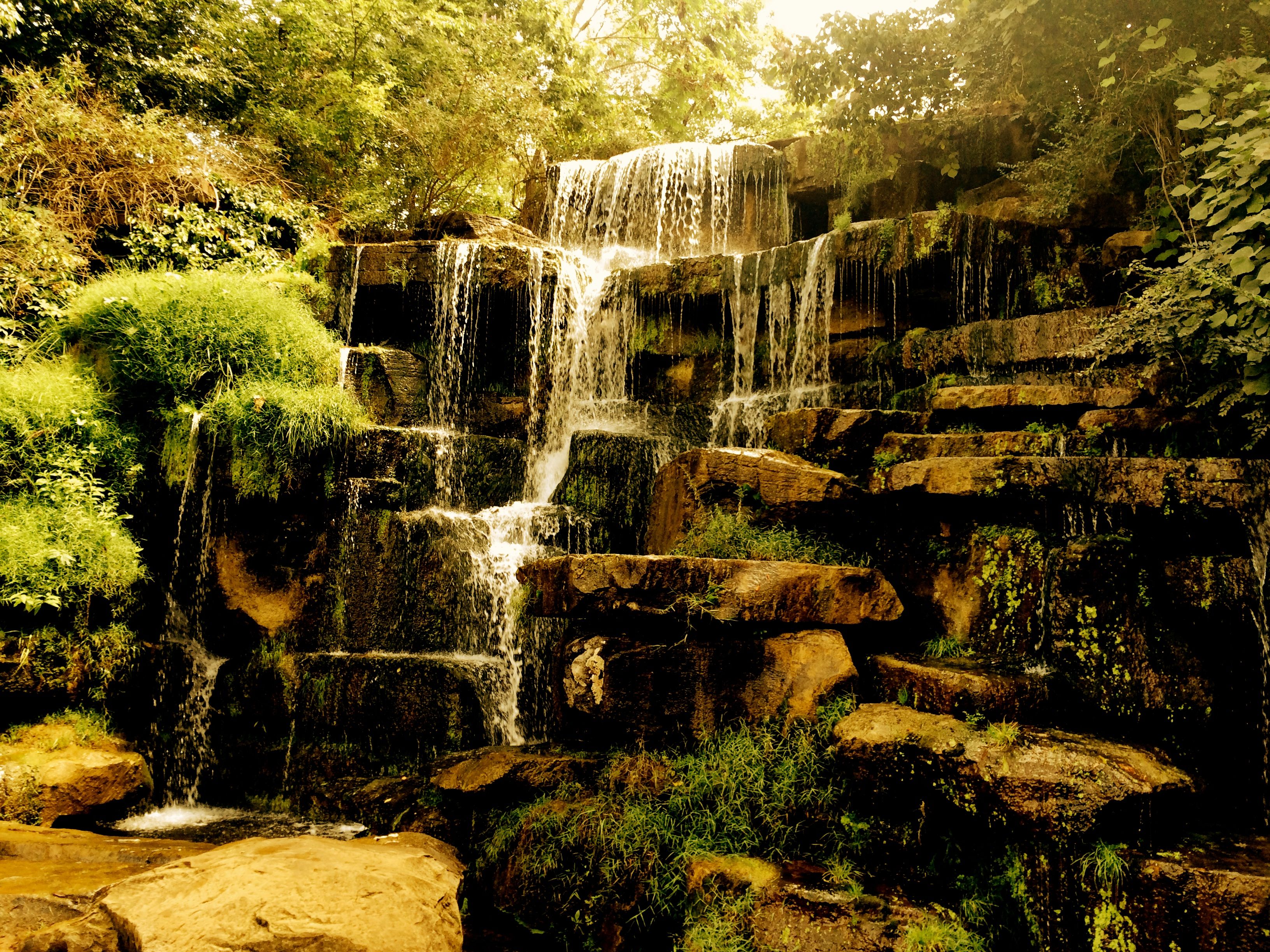
2014 September 1 Spring Park Tuscumbia
2010-04-24 17.28.01
2014 September 1 Spring Park Tuscumbia

2010-04-24 17.28.09
spring-park- (6 of 13)
Cane Creek Nature Preserve
Cane Creek Nature Preserve
Cane Creek Nature Preserve
Cane Creek Nature Preserve

spring-park- (10 of 13)
Cane Creek Nature Preserve
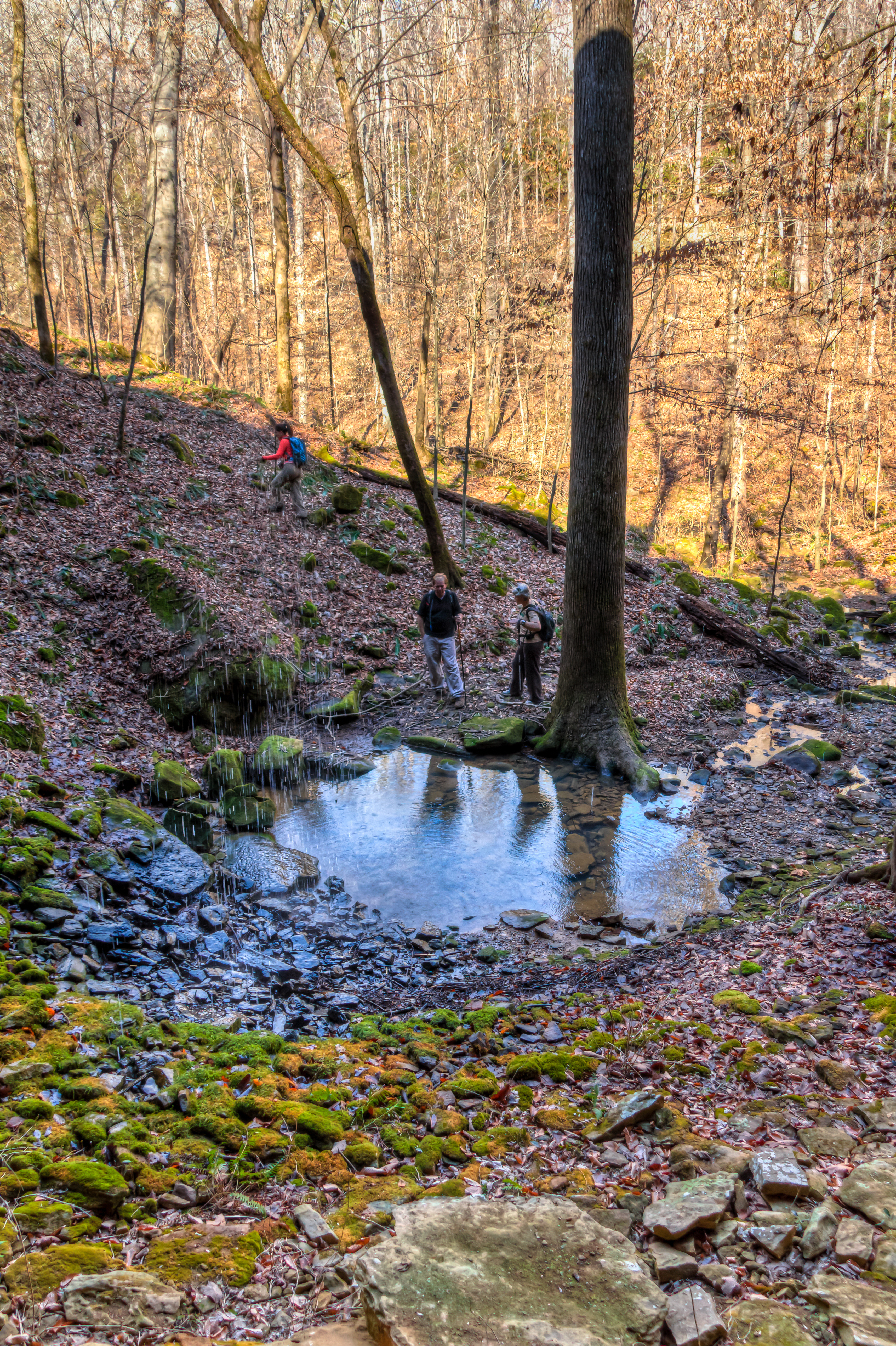
Cane Creek Canyon Nature Preserve
Cane Creek Nature Preserve
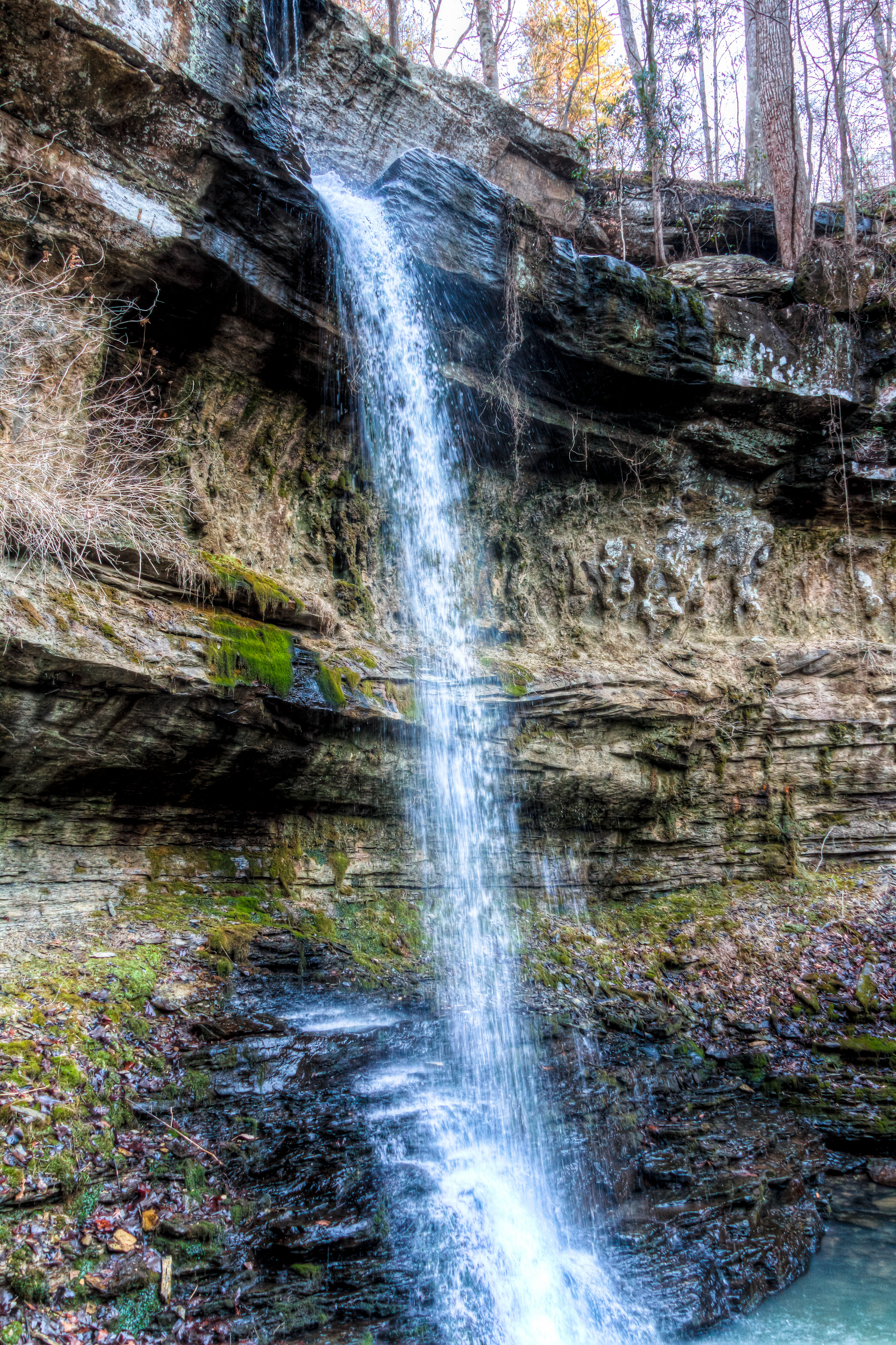
Cane Creek Nature Preserve
Cane Creek Nature Preserve

Under Crooked Oak
Cane Creek Nature Preserve
Topographic Map of Red Rock Rd, Tuscumbia, AL, USA
Find elevation by address:

Places near Red Rock Rd, Tuscumbia, AL, USA:
Smallwood Mountain Rd, Tuscumbia, AL, USA
New Bethel Rd, Tuscumbia, AL, USA
Keller Quarry Rd, Tuscumbia, AL, USA
Old Memphis Rd, Tuscumbia, AL, USA
Milk Springs Rd, Tuscumbia, AL, USA
Pickwick St, Sheffield, AL, USA
Colbert Heights High School
Tuscumbia
427 Kattie Ln
Hemlock St, Tuscumbia, AL, USA
Co Rd 55, Tuscumbia, AL, USA
Sheffield
Fairground Rd, Tuscumbia, AL, USA
1521 Pinehurst Blvd
Muscle Shoals
Oak Grove Blvd, Sheffield, AL, USA
195 Wayne Dr
Florence
105 Cottonwood Dr
1965 Al-20
Recent Searches:
- Elevation of 72-31 Metropolitan Ave, Middle Village, NY, USA
- Elevation of 76 Metropolitan Ave, Brooklyn, NY, USA
- Elevation of Alisal Rd, Solvang, CA, USA
- Elevation of Vista Blvd, Sparks, NV, USA
- Elevation of 15th Ave SE, St. Petersburg, FL, USA
- Elevation of Beall Road, Beall Rd, Florida, USA
- Elevation of Leguwa, Nepal
- Elevation of County Rd, Enterprise, AL, USA
- Elevation of Kolchuginsky District, Vladimir Oblast, Russia
- Elevation of Shustino, Vladimir Oblast, Russia