Elevation of Red Hill Rd, Sunbright, TN, USA
Location: United States > Tennessee > Scott County > Sunbright >
Longitude: -84.699278
Latitude: 36.26617
Elevation: 471m / 1545feet
Barometric Pressure: 96KPa
Elevation Map:
Satellite Map:
Related Photos:
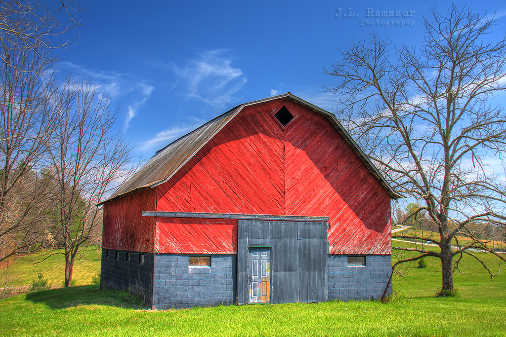
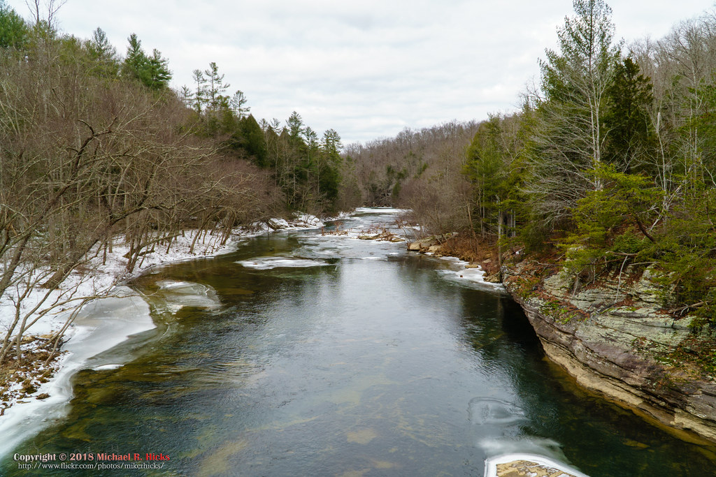
Rural Tennessee Barn

Library in Rugby Tennessee
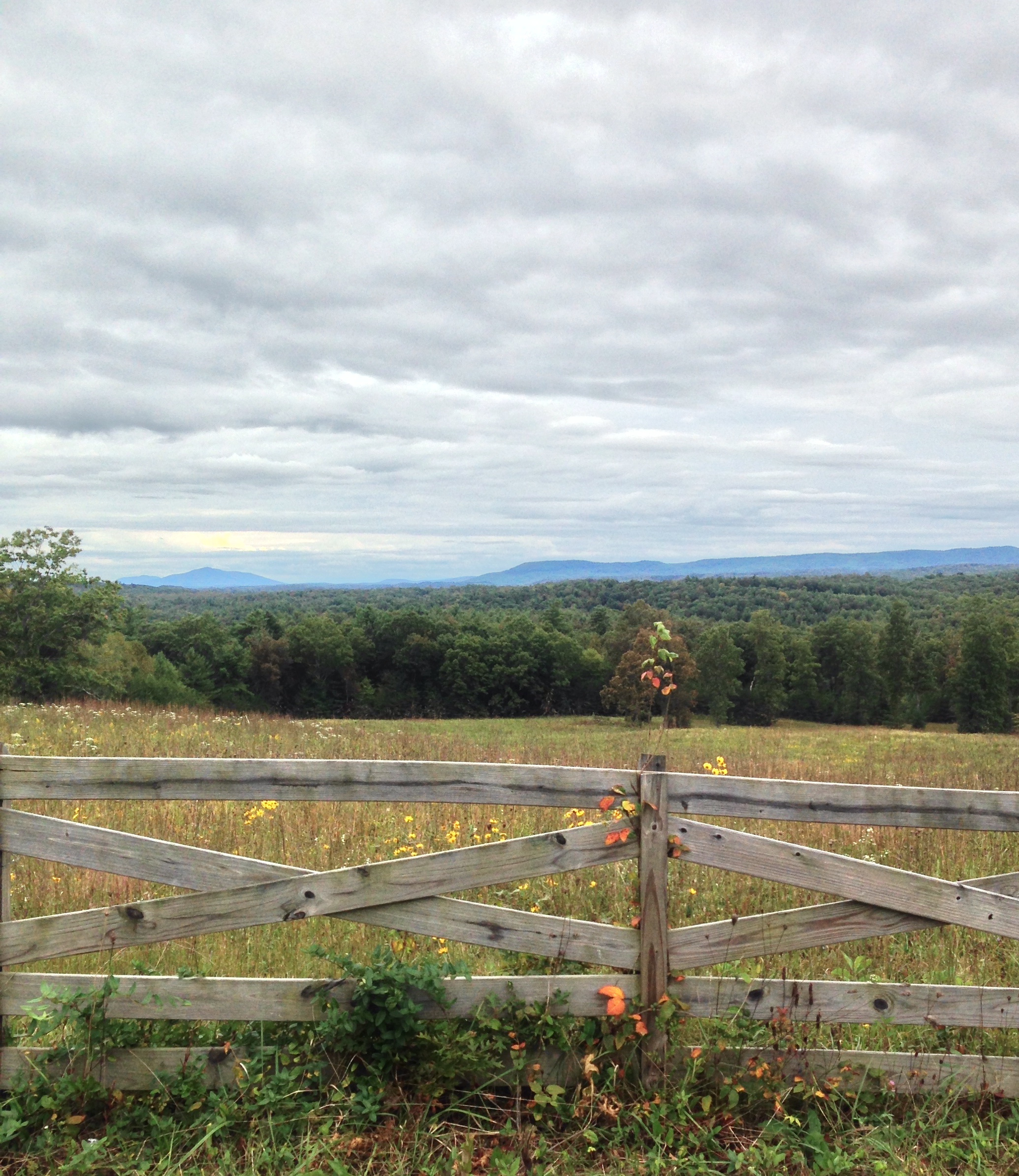
Cloudy day view near Deer Lodge TN

Chilly sunshower.
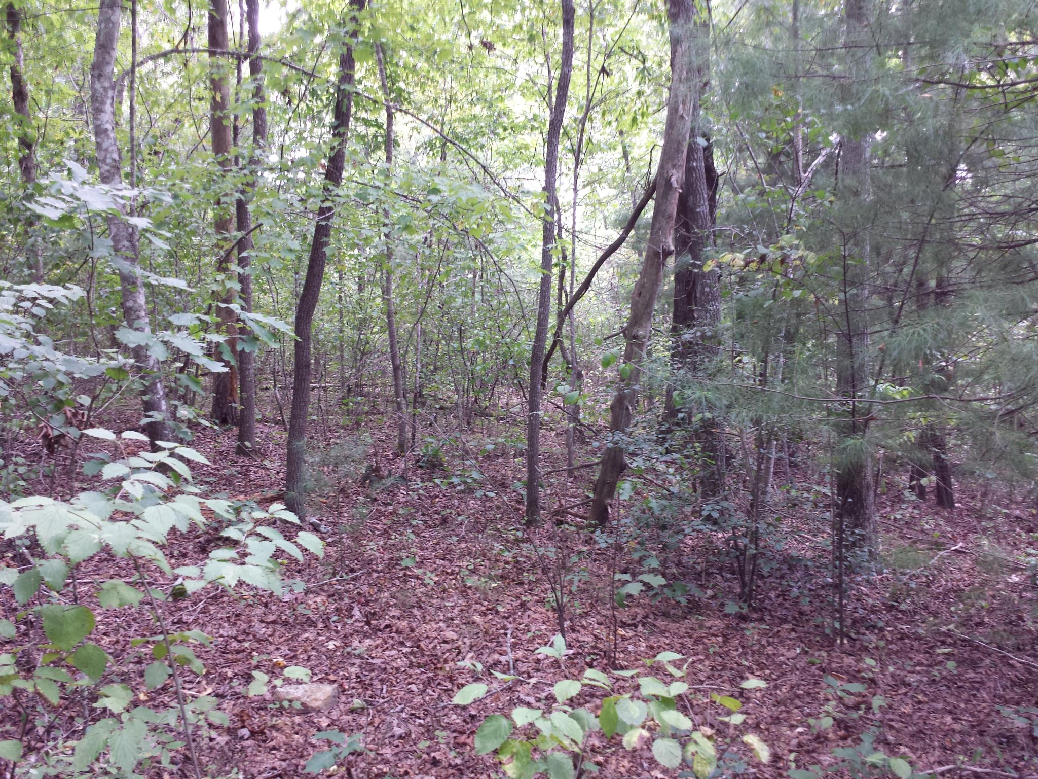
4c-tr25-025
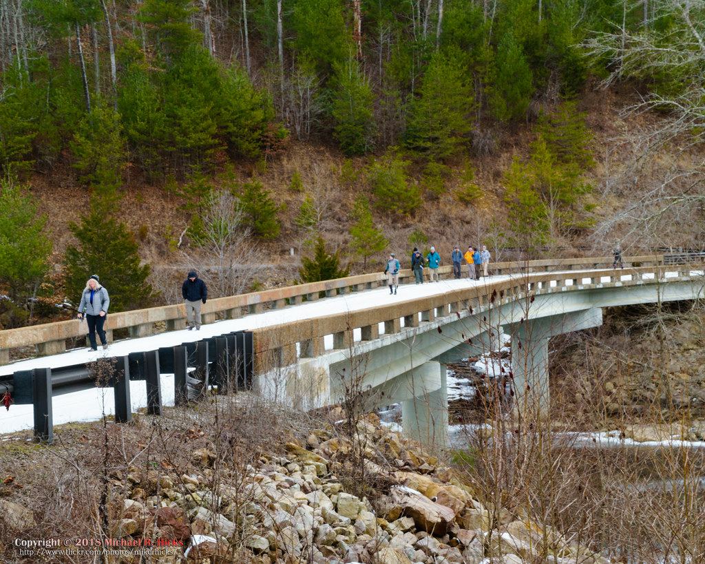
The unplanned warm up hike to Burnt Mill Bridge
bur-067
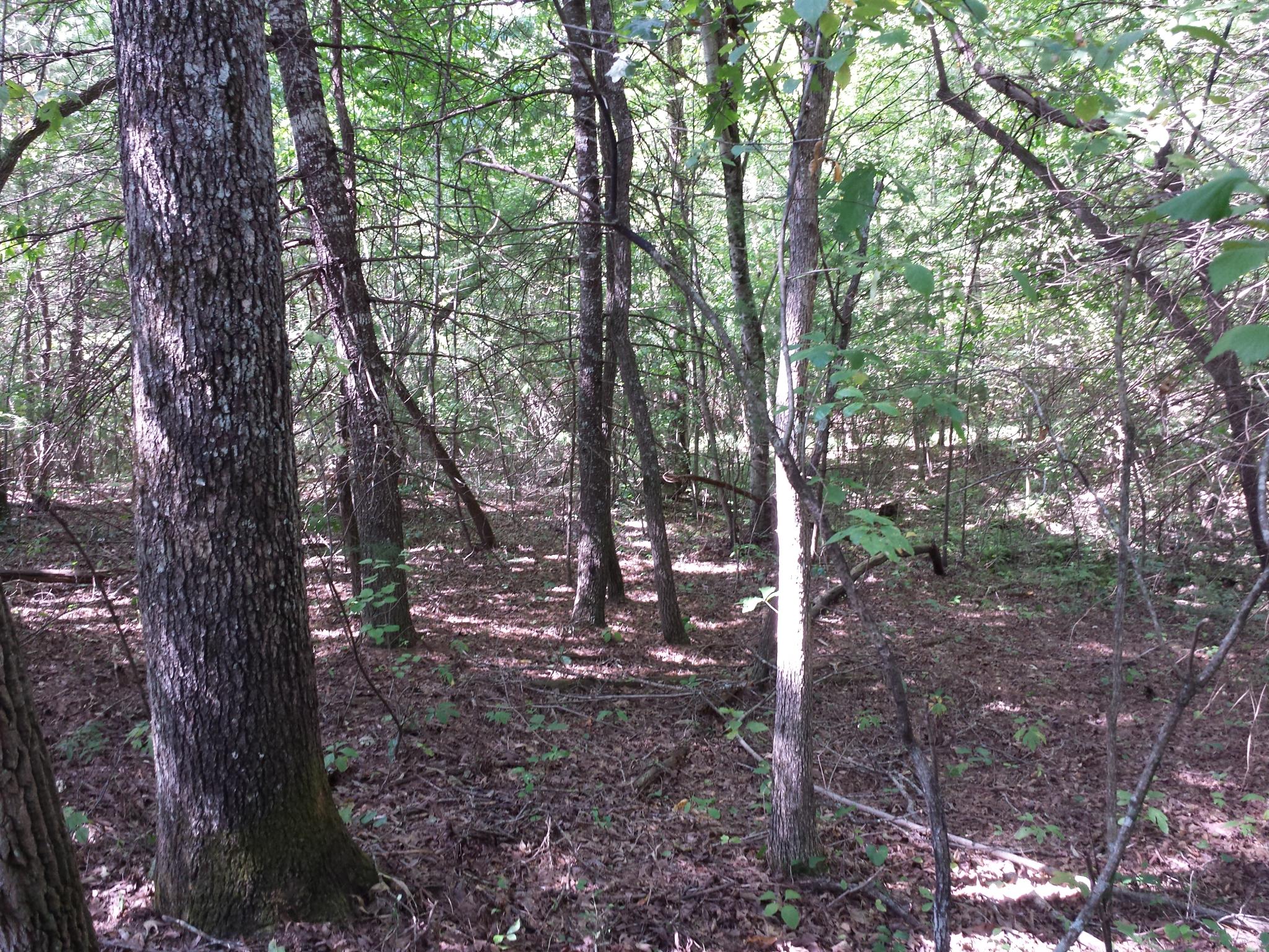
bur-052
4c-tr25-024
bur-066
4c-tr25-015
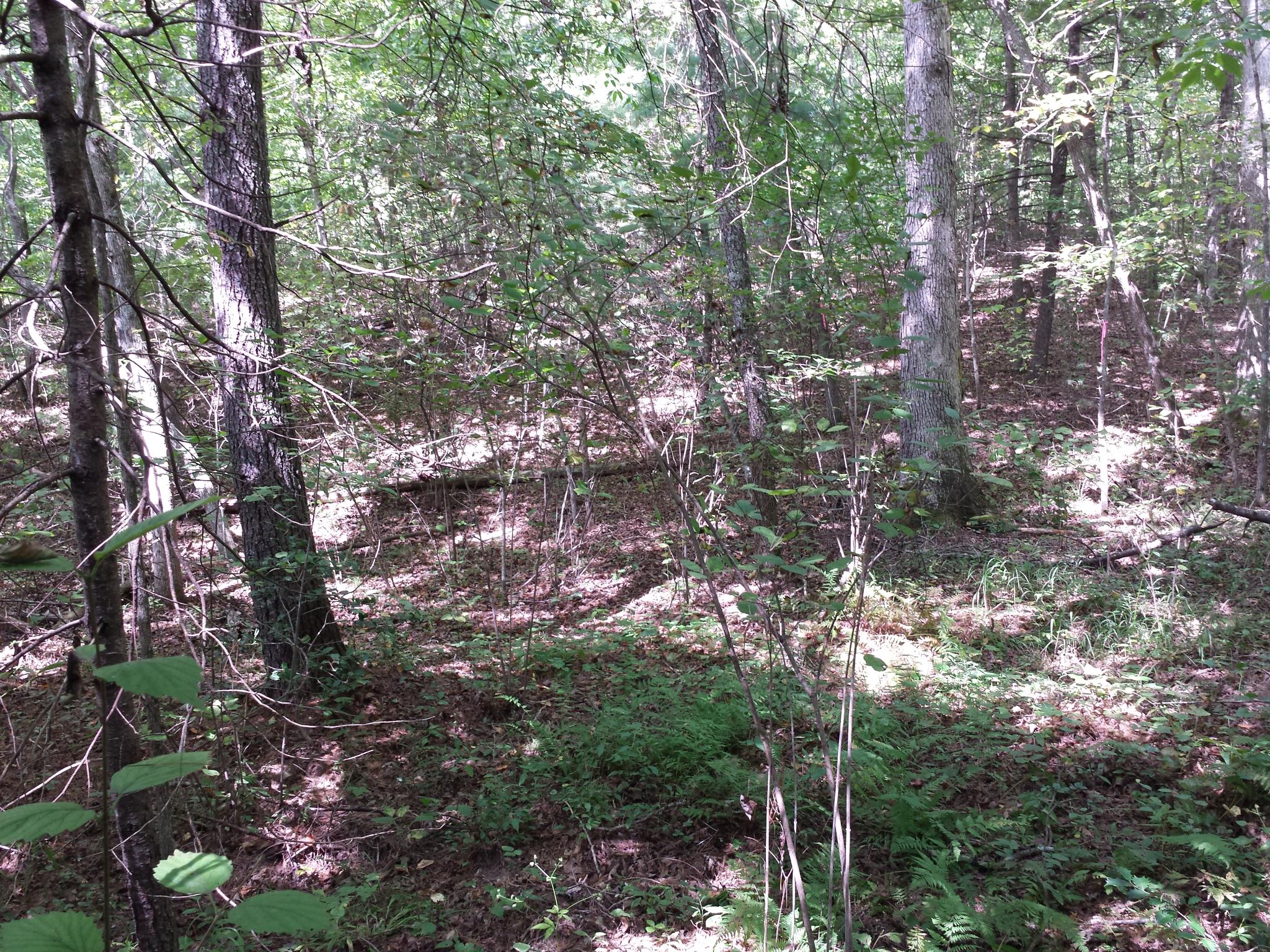
bur-071
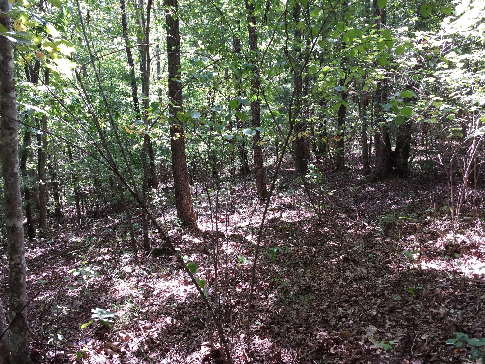
4c-tr25-017
4c-tr25-014
4c-tr25-031
4c-tr25-009
4c-tr25-011
4c-tr25-013
The unplanned warm up hike to Burnt Mill Bridge
4c-tr25-012
4c-tr25-030

4c-tr25-029
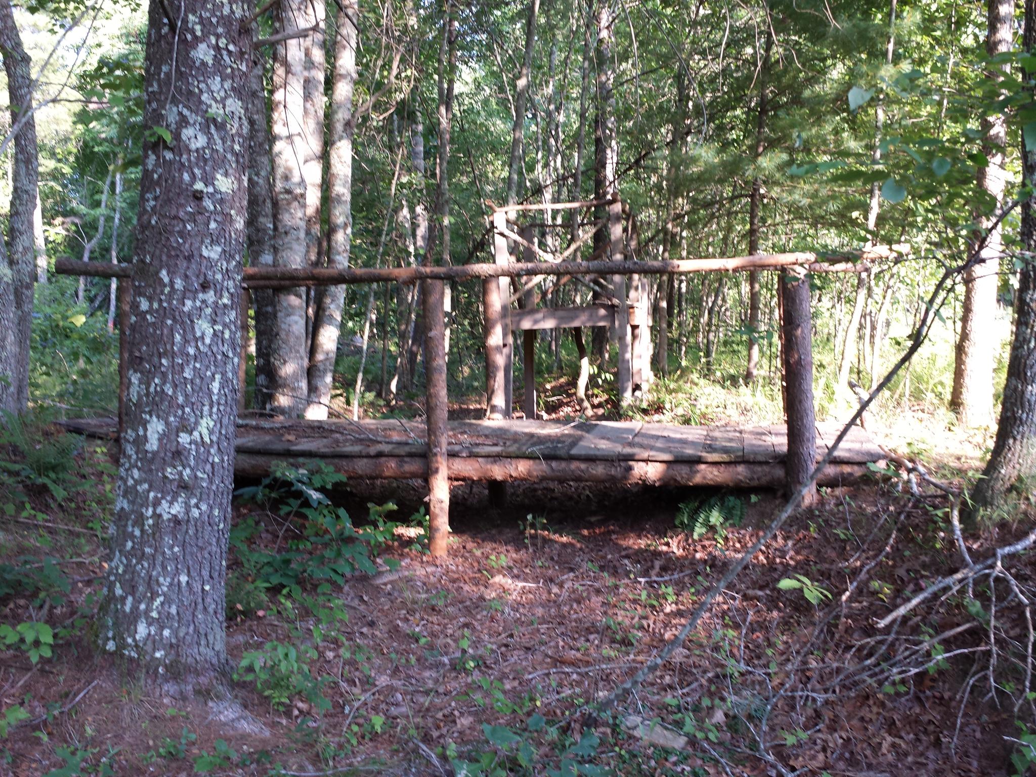
bur-037

bur-057
Topographic Map of Red Hill Rd, Sunbright, TN, USA
Find elevation by address:

Places near Red Hill Rd, Sunbright, TN, USA:
196 Red Hill Rd
612 Coon Hollow Rd
613 Coon Hollow Rd
Sunbright
864 Deer Lodge Hwy
Morgan County Hwy, Sunbright, TN, USA
157 Davis Rd
Red Hill Rd, Robbins, TN, USA
Rugby
Coalhill Rd, Sunbright, TN, USA
126 Offler St
Lewallen Road
923 Concord Rd
Robbins
4935 Scott Hwy
Mt View Rd, Robbins, TN, USA
1952 Old Hwy 27
Company Cir, Helenwood, TN, USA
Brimstone Rd, Robbins, TN, USA
Recent Searches:
- Elevation of Leyte Industrial Development Estate, Isabel, Leyte, Philippines
- Elevation of W Granada St, Tampa, FL, USA
- Elevation of Pykes Down, Ivybridge PL21 0BY, UK
- Elevation of Jalan Senandin, Lutong, Miri, Sarawak, Malaysia
- Elevation of Bilohirs'k
- Elevation of 30 Oak Lawn Dr, Barkhamsted, CT, USA
- Elevation of Luther Road, Luther Rd, Auburn, CA, USA
- Elevation of Unnamed Road, Respublika Severnaya Osetiya — Alaniya, Russia
- Elevation of Verkhny Fiagdon, North Ossetia–Alania Republic, Russia
- Elevation of F. Viola Hiway, San Rafael, Bulacan, Philippines