Elevation map of Red Deer County, AB, Canada
Location: Canada > Alberta > Division No. 8 >
Longitude: -113.74238
Latitude: 52.0501321
Elevation: 978m / 3209feet
Barometric Pressure: 90KPa
Elevation Map:
Satellite Map:
Related Photos:
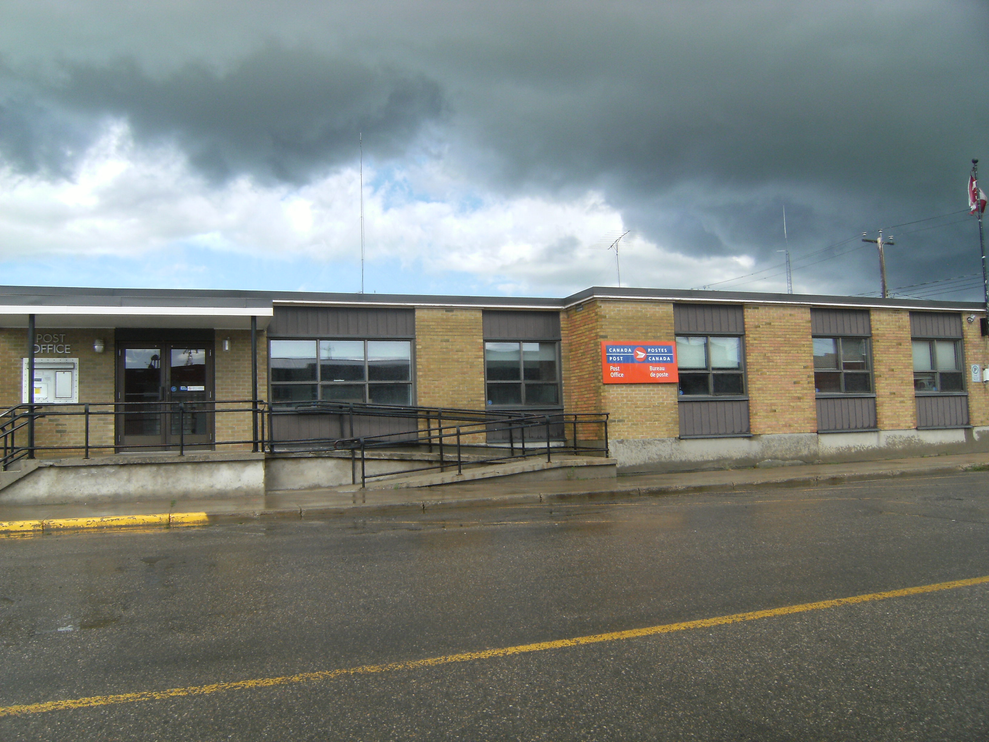
Front view of the Canada Post Office, July 24 2012 Innisfail, Alberta
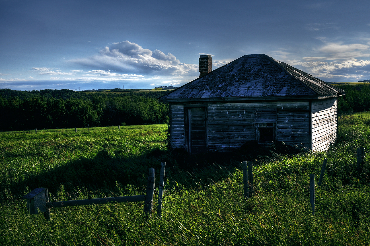
Passed its prime

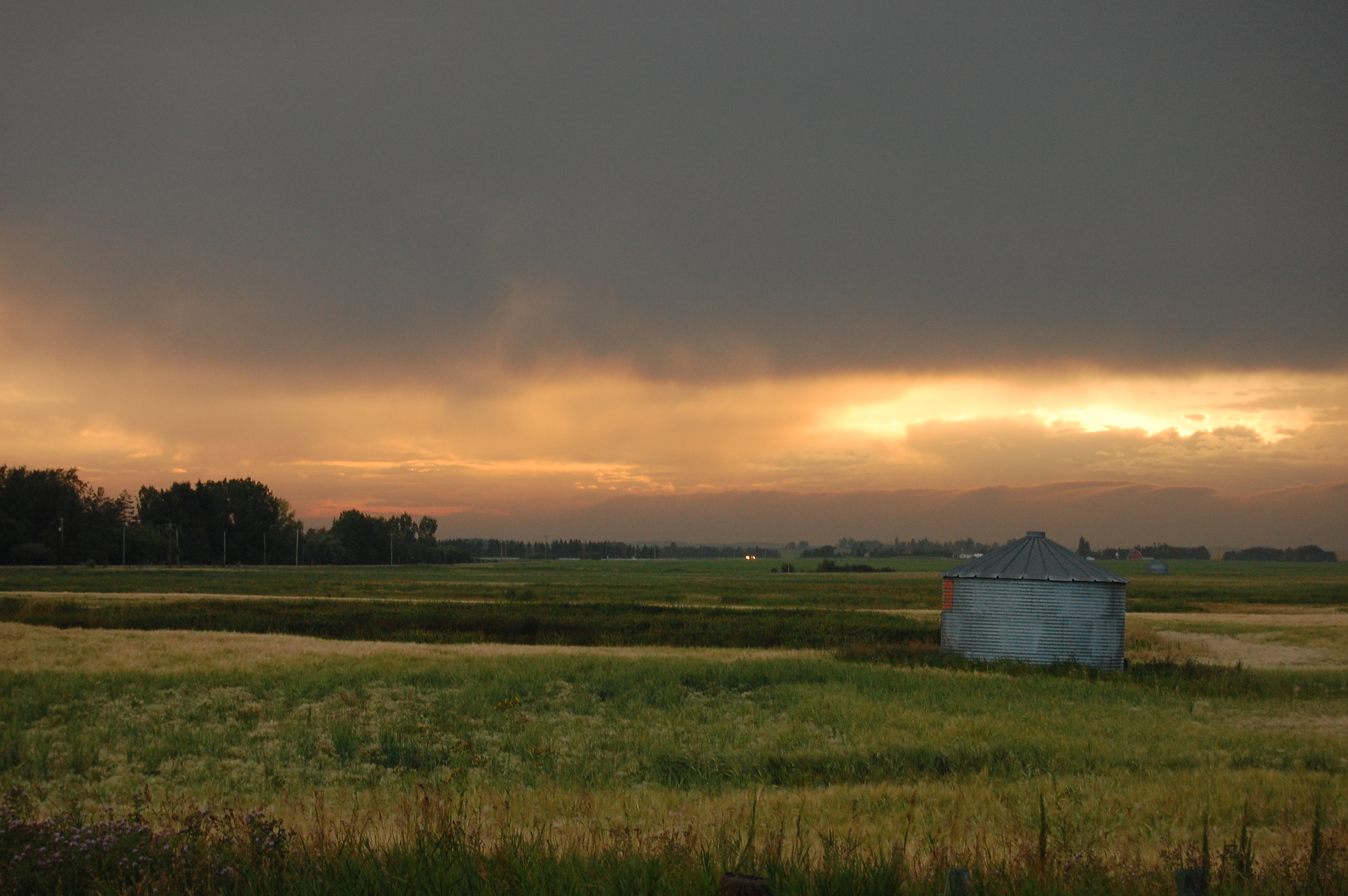
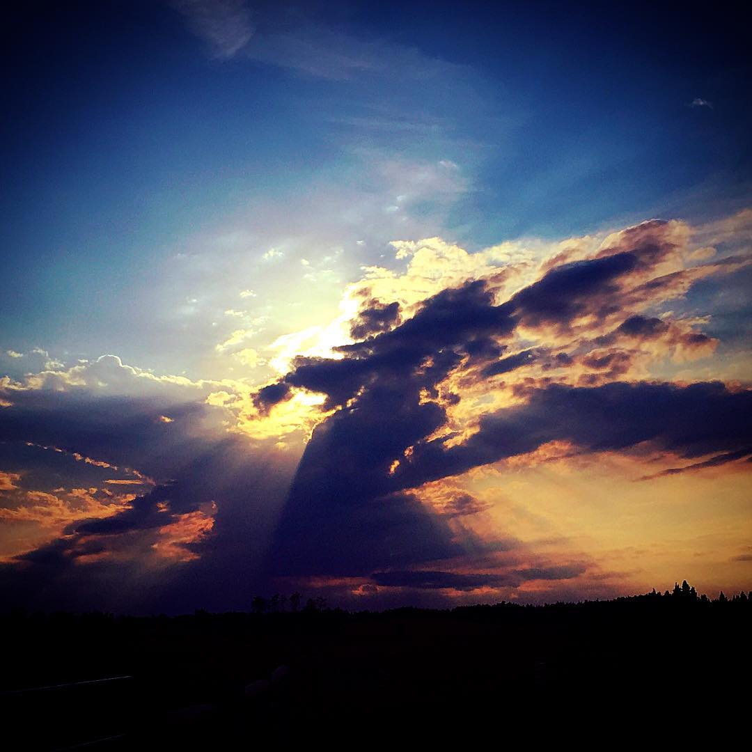
Dragon cloud #innisfail #alberta #clouds #dragon #sky #sunset
One Tin Soldier
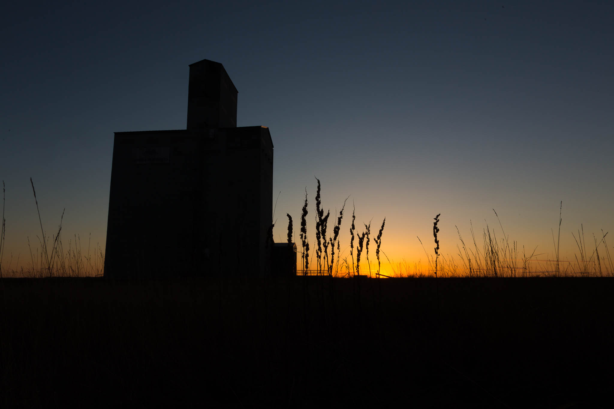
A grain elevator, authentically Albertan.

922-33
Summer Skies
2011-08-02 Voyage à Calgary
IMG_2854 -2
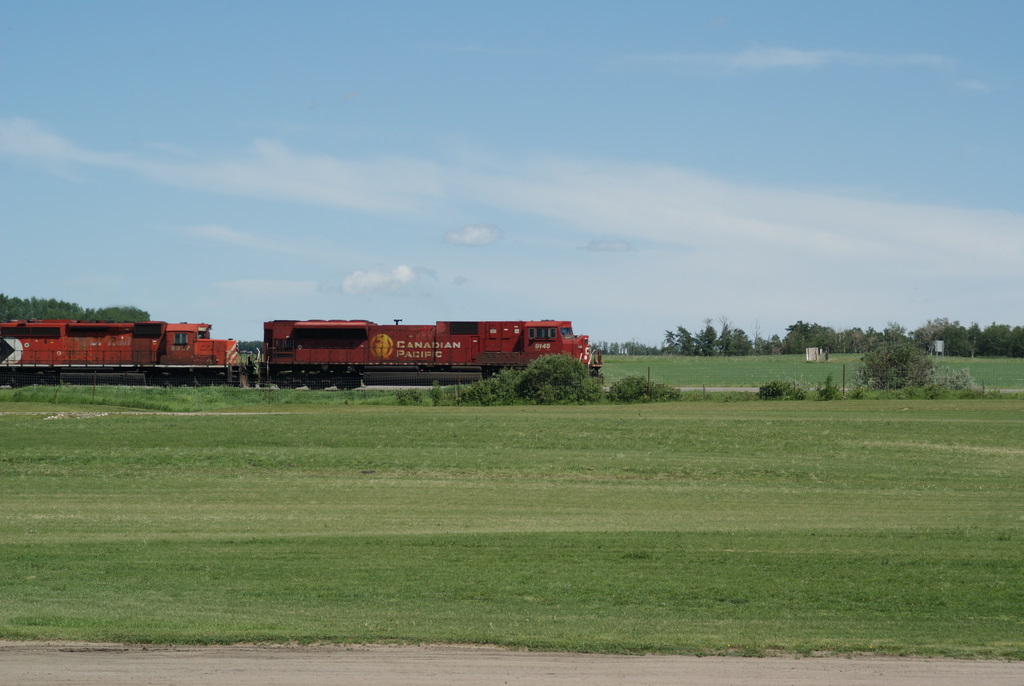
CP Rail
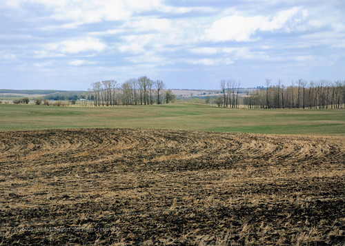
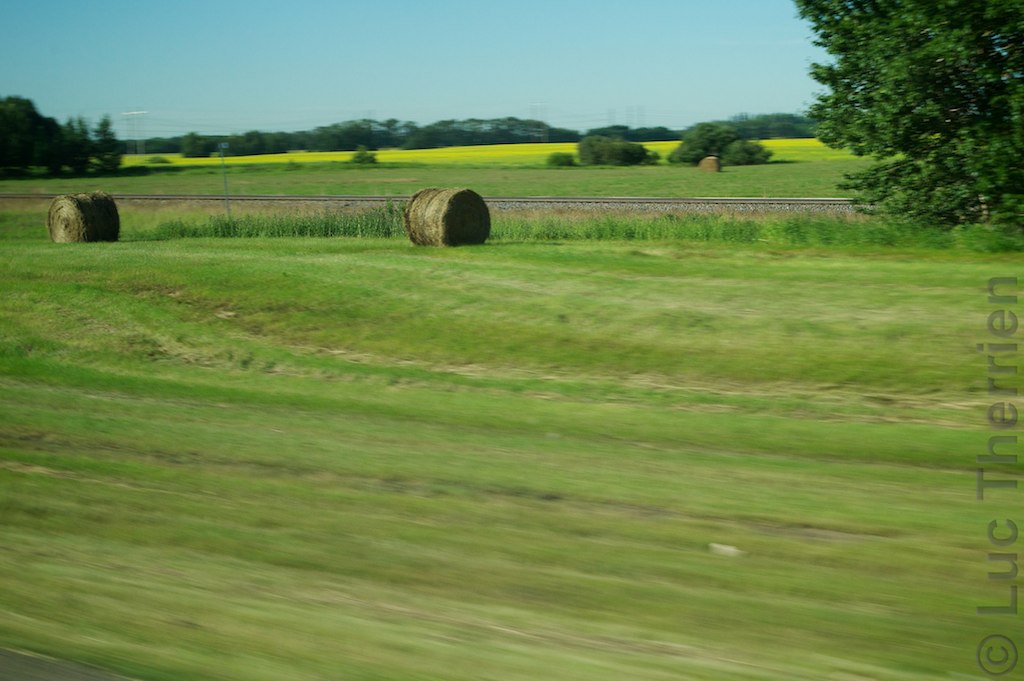
Field Patterns

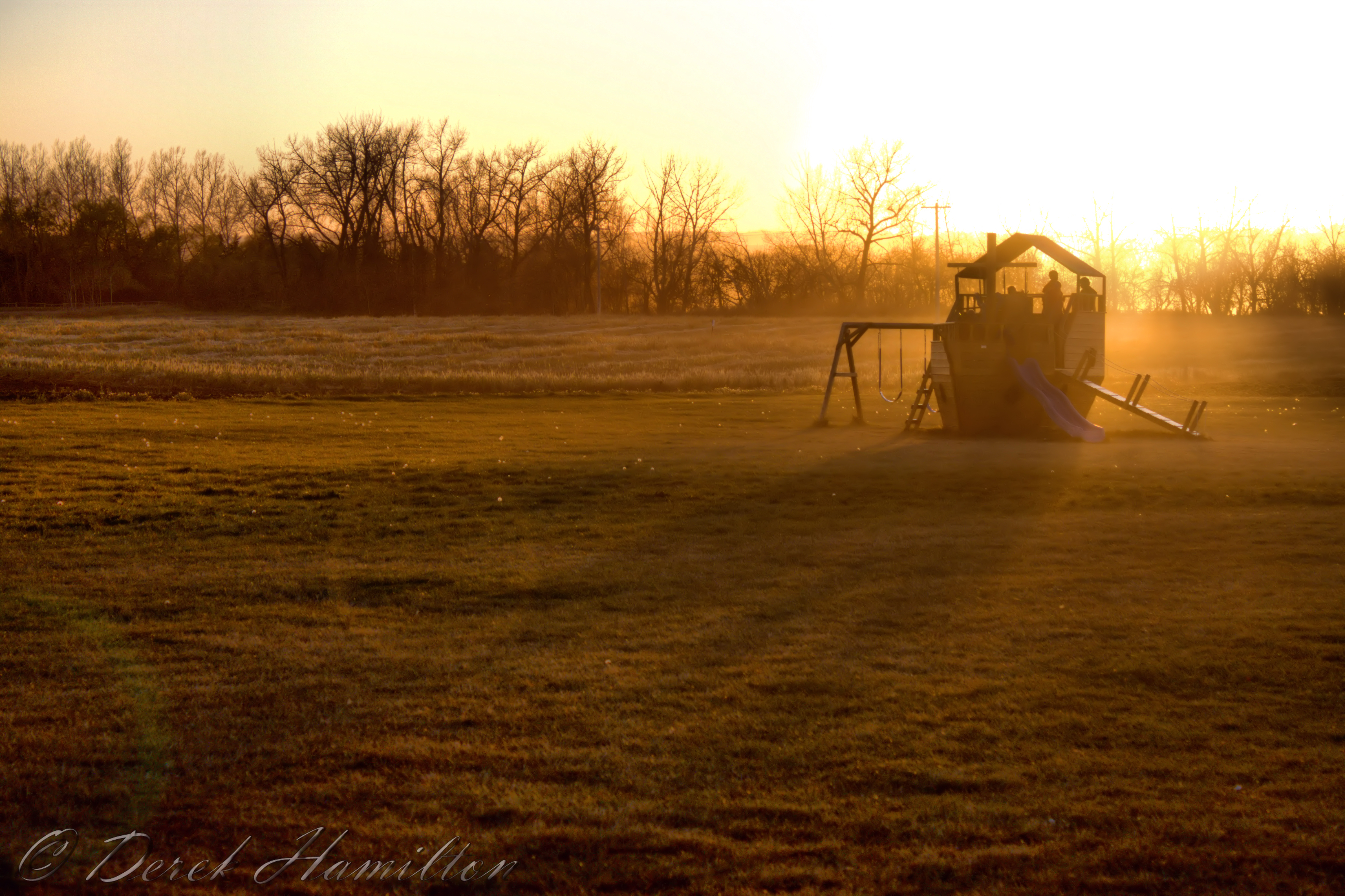
Spring has Sprung, the grass has 'riss, I wonder where the bird . . . never mind, I see him (Explored 5/01/15)
The sky tonight #innisfail #alberta #sky #sunset #sky #clouds
Topographic Map of Red Deer County, AB, Canada
Find elevation by address:

Places in Red Deer County, AB, Canada:
Places near Red Deer County, AB, Canada:
Oxford Boulevard
Penhold
Oxford Boulevard
AB-2, Penhold, AB T0M 1R0, Canada
Anders On The Lake
108 Archer Dr
51 Allison Crescent
Sunnybrook
31 Selkirk Blvd
Mcdougall Crescent
35 Thayer Cl
Timberstone Park
Thomlison Avenue
West Park Extension
Red Deer
5325 42a Ave
Dreeshen Earl, Mp - Red Deer — Mountain View
113 White Ave
109 White Ave
209 Thompson Cres
Recent Searches:
- Elevation of Corso Fratelli Cairoli, 35, Macerata MC, Italy
- Elevation of Tallevast Rd, Sarasota, FL, USA
- Elevation of 4th St E, Sonoma, CA, USA
- Elevation of Black Hollow Rd, Pennsdale, PA, USA
- Elevation of Oakland Ave, Williamsport, PA, USA
- Elevation of Pedrógão Grande, Portugal
- Elevation of Klee Dr, Martinsburg, WV, USA
- Elevation of Via Roma, Pieranica CR, Italy
- Elevation of Tavkvetili Mountain, Georgia
- Elevation of Hartfords Bluff Cir, Mt Pleasant, SC, USA