Elevation of Red Brook Harbor Rd, Bourne, MA, USA
Location: United States > Massachusetts > Barnstable County > Mashpee > Cataumet >
Longitude: -70.617068
Latitude: 41.667115
Elevation: 17m / 56feet
Barometric Pressure: 101KPa
Elevation Map:
Satellite Map:
Related Photos:

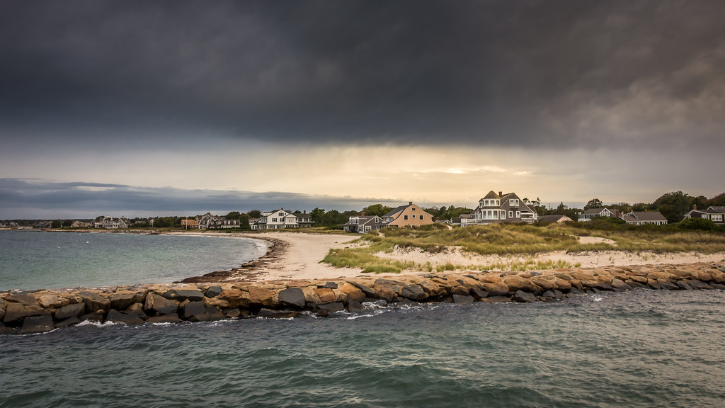
Stormy Skies Over the Sandwich Boardwalk"

Fisheye View
Arrival in Falmouth on Cape Cod

A Little Champagne, and Life would be Perfect!
Dinner With a View
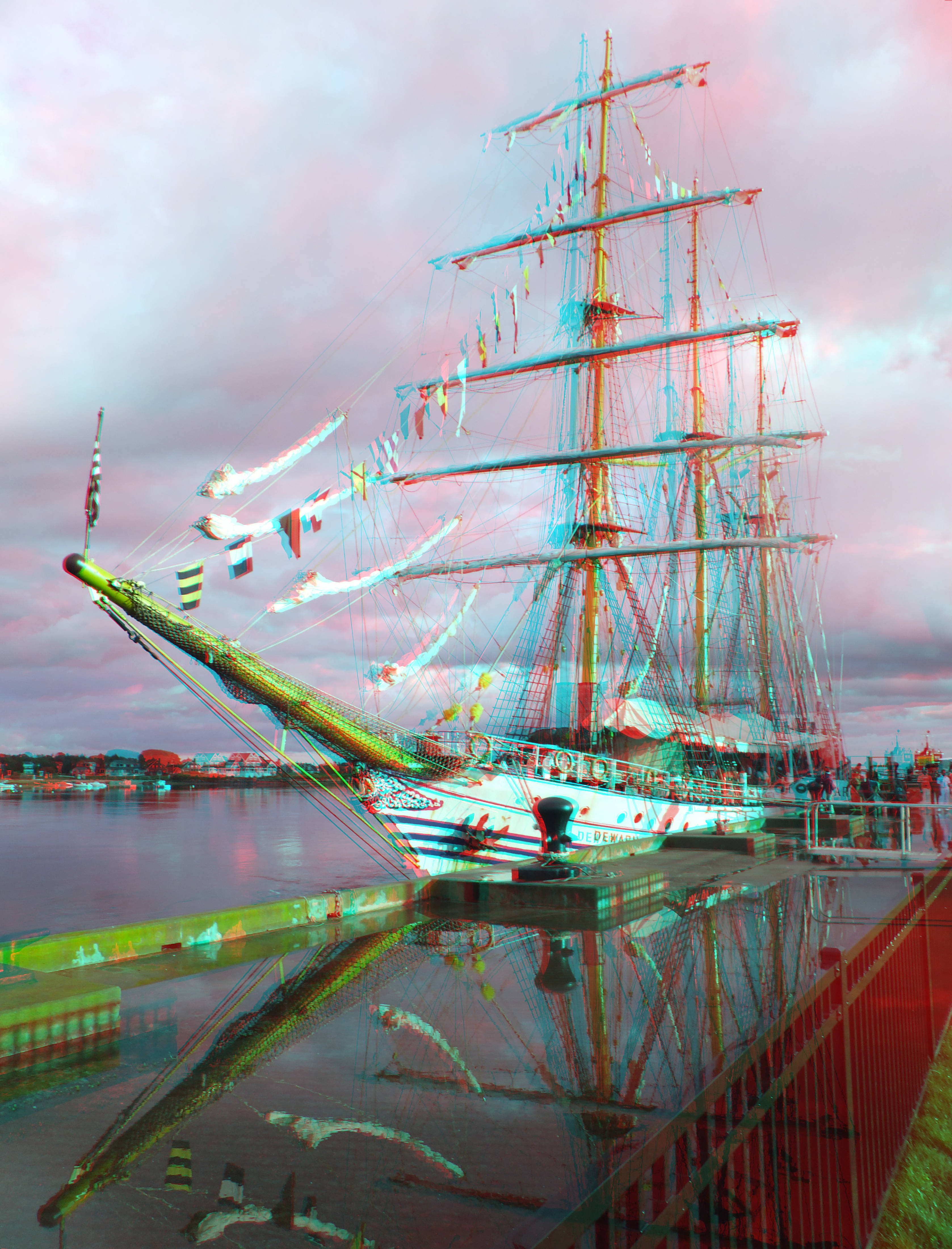
sunburst thru the clouds shines on the KRI Dewaruci
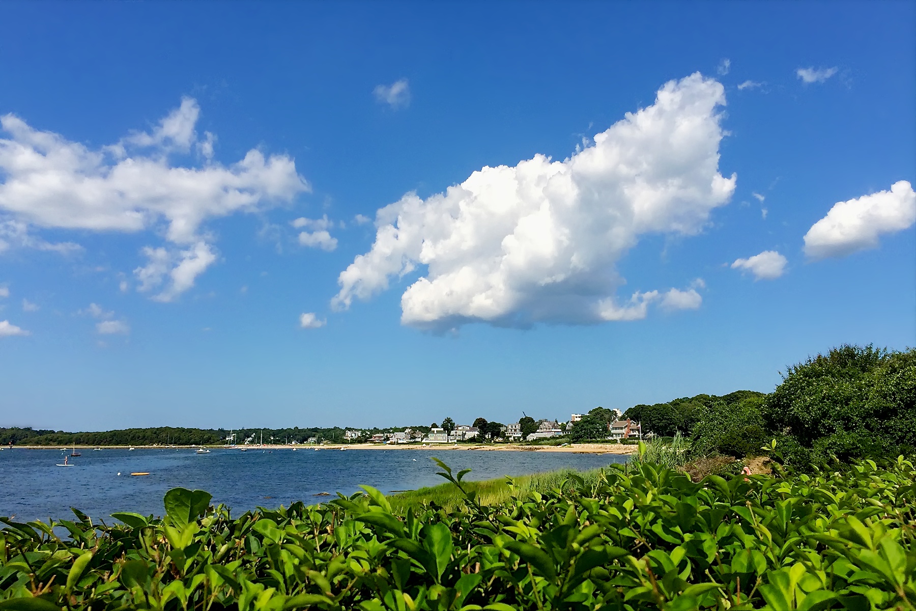
A Different View

Monument Beach Re-edit
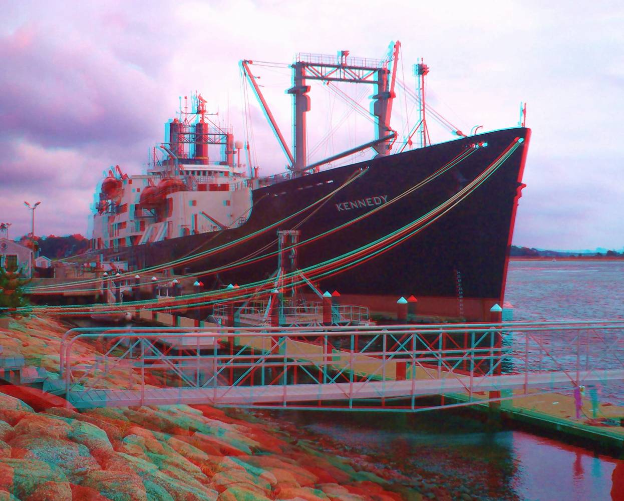
Kennedy @ MMA

Cape Cod Canal at MMA

Autumn daisies

Picked Clean

Ned's Point Lighthouse, Mattapoisett, Massachusetts

Painted Bunting

Savannah Sparrow (Passerculus sandwichensis princeps) - Ipswich form - dorsal view
Another View

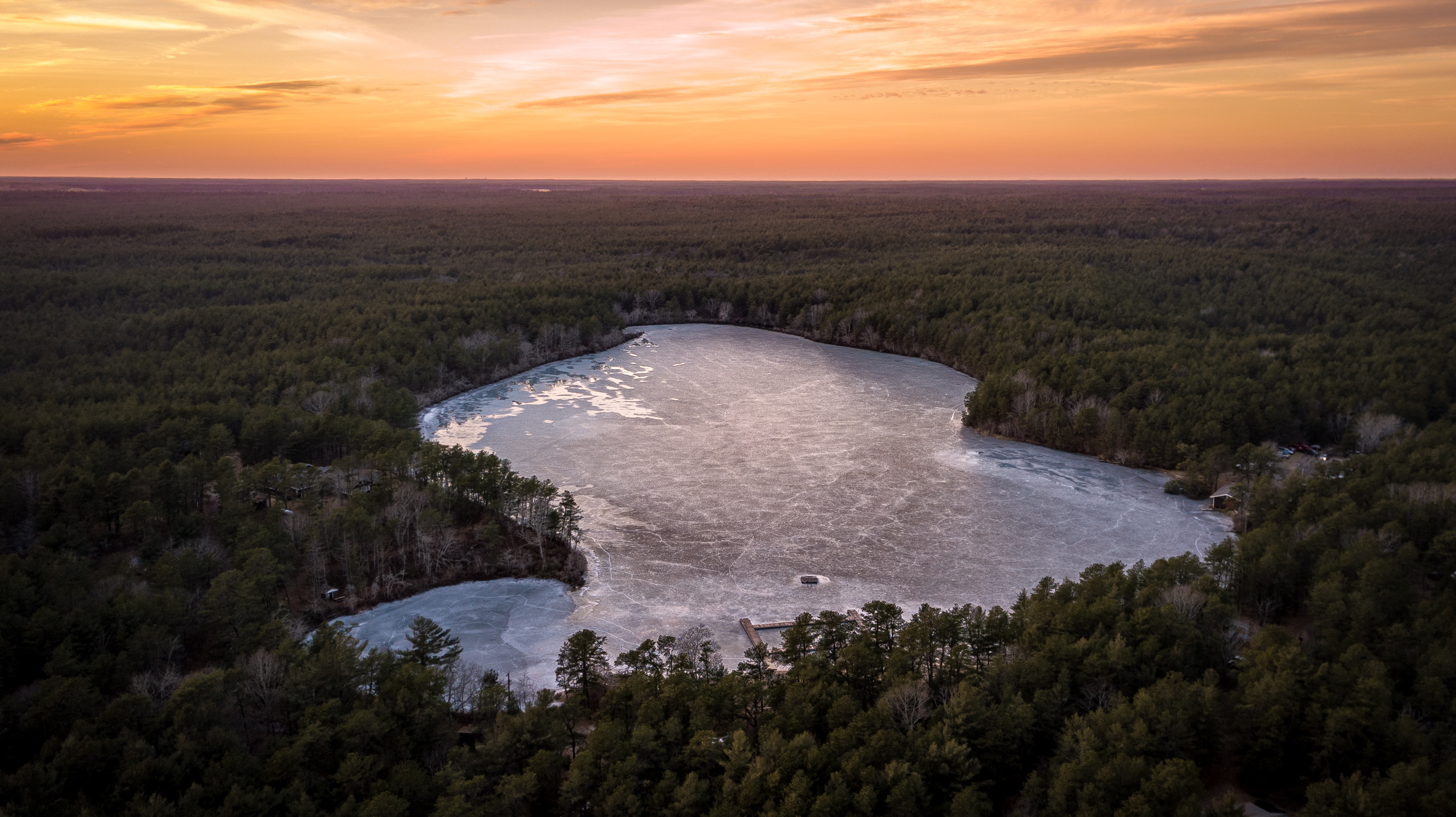
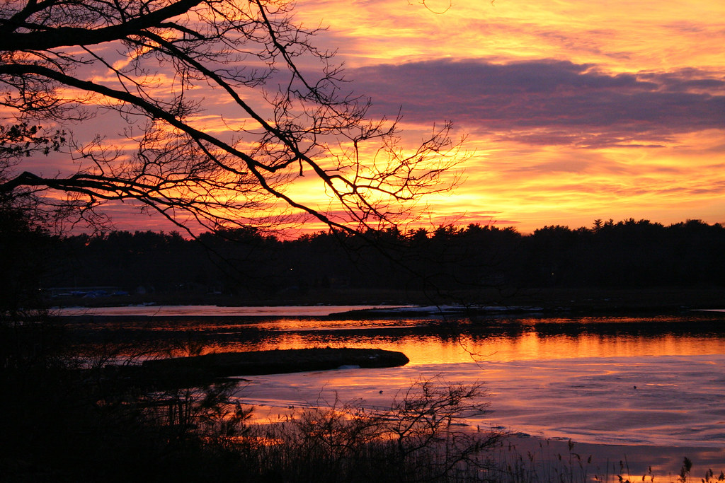
early morning on Eel River

Grasshopper Sparrow
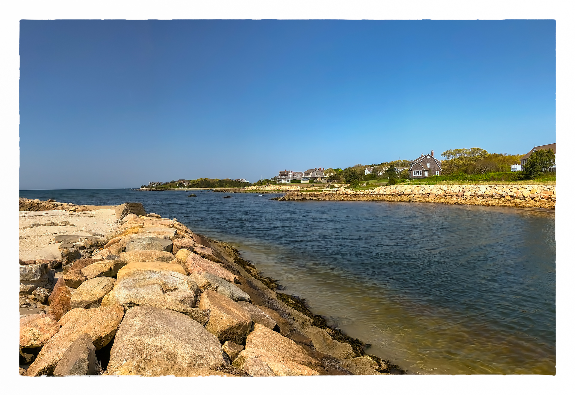
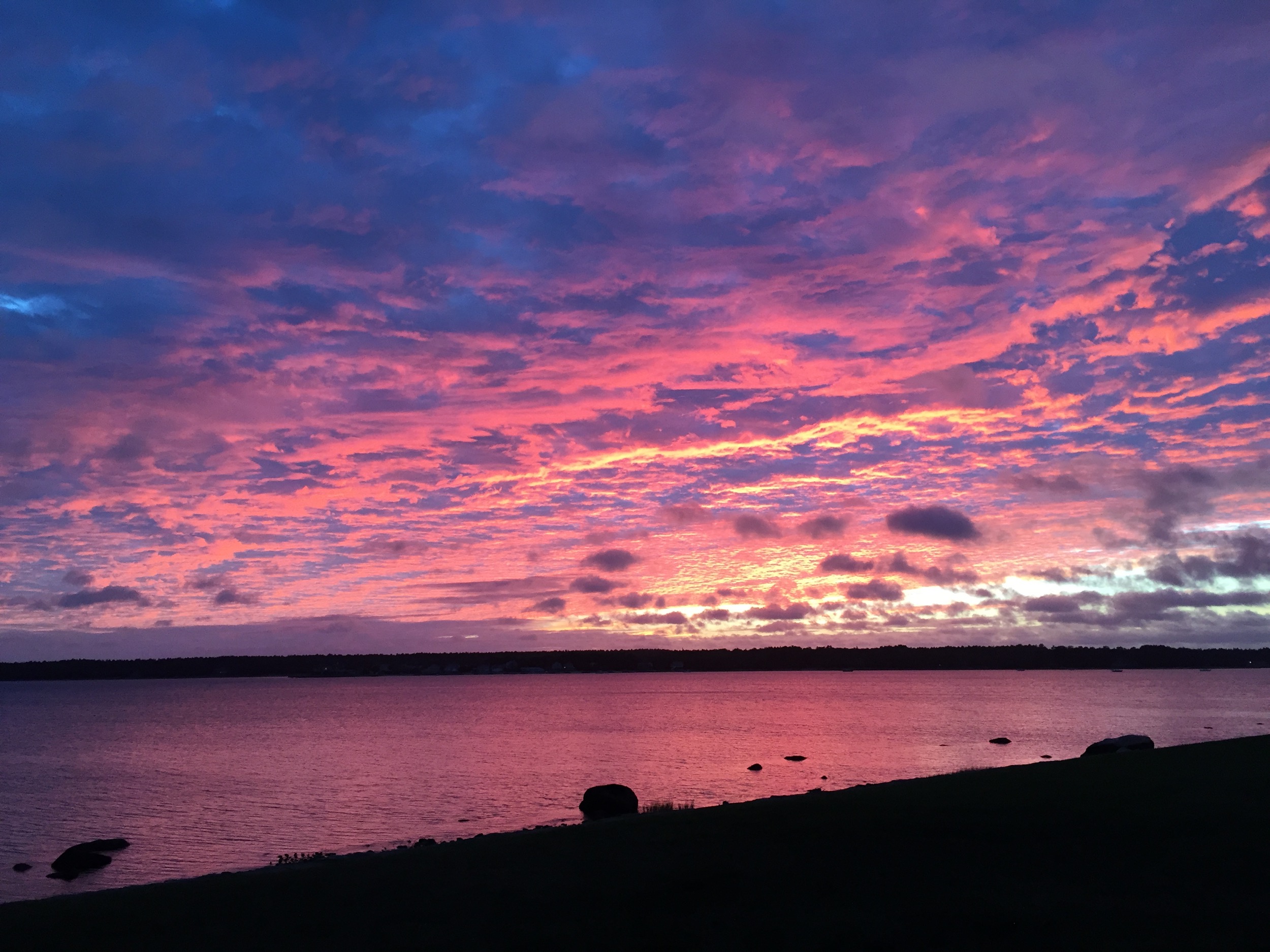
Red Brook Harbor, Cataumet

Indonesian training ship KRI Dewaruci
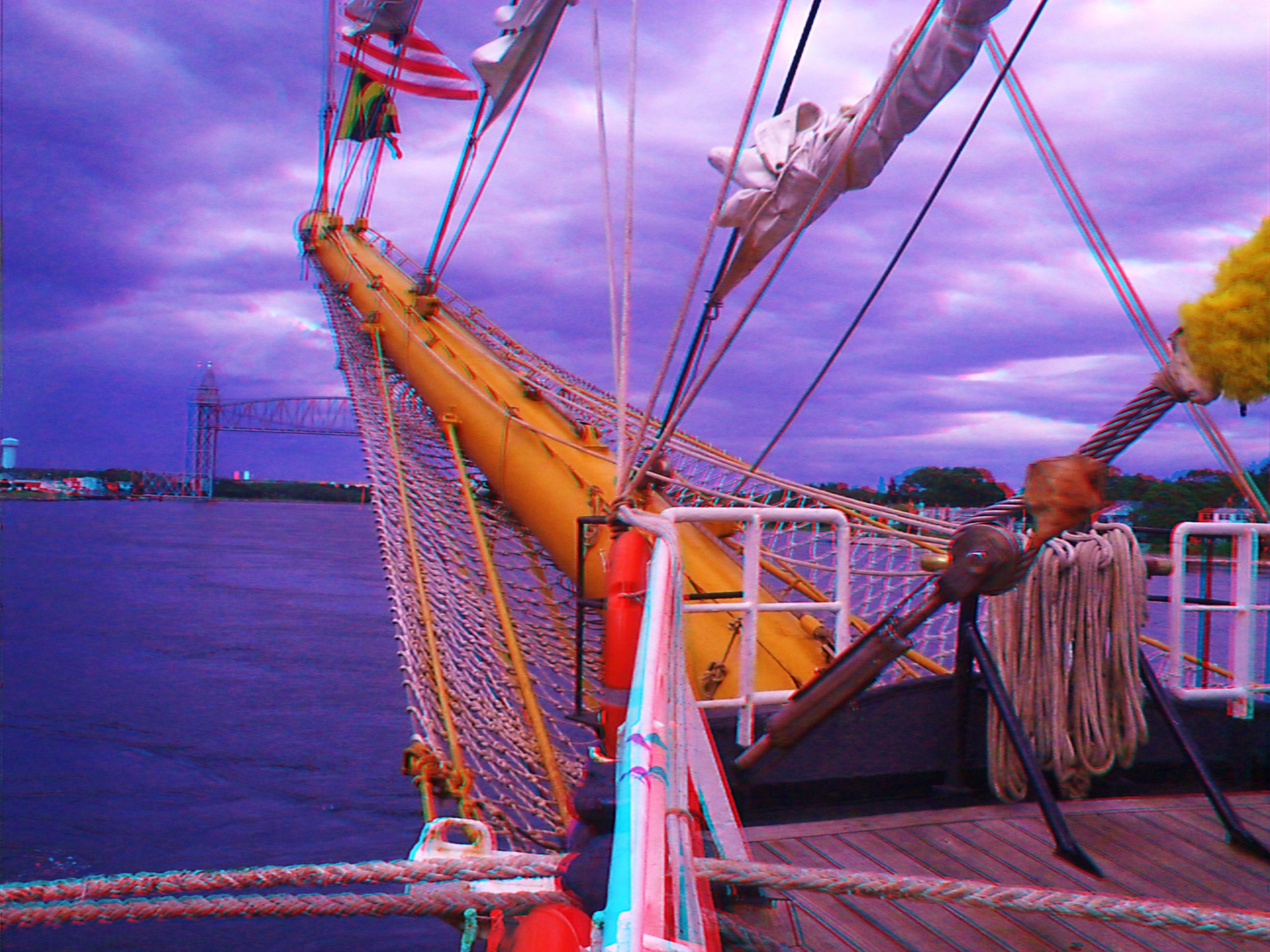
KRI Dewaruci's bow 2

Scusset Beach Sunset
Wild Harbor

Woods Hole 11
Makepeace Farms, Wareham

Grasshopper Sparrow

Ice Cold Splash
i can see for miles. . . . .
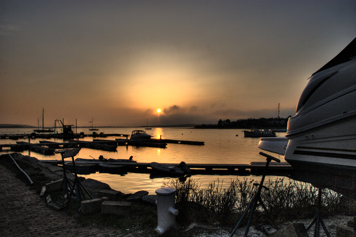
Fiddler's Cove

314736852703499740_296190820121231-21449-zcg6jg

Happy Holidays! #capecod

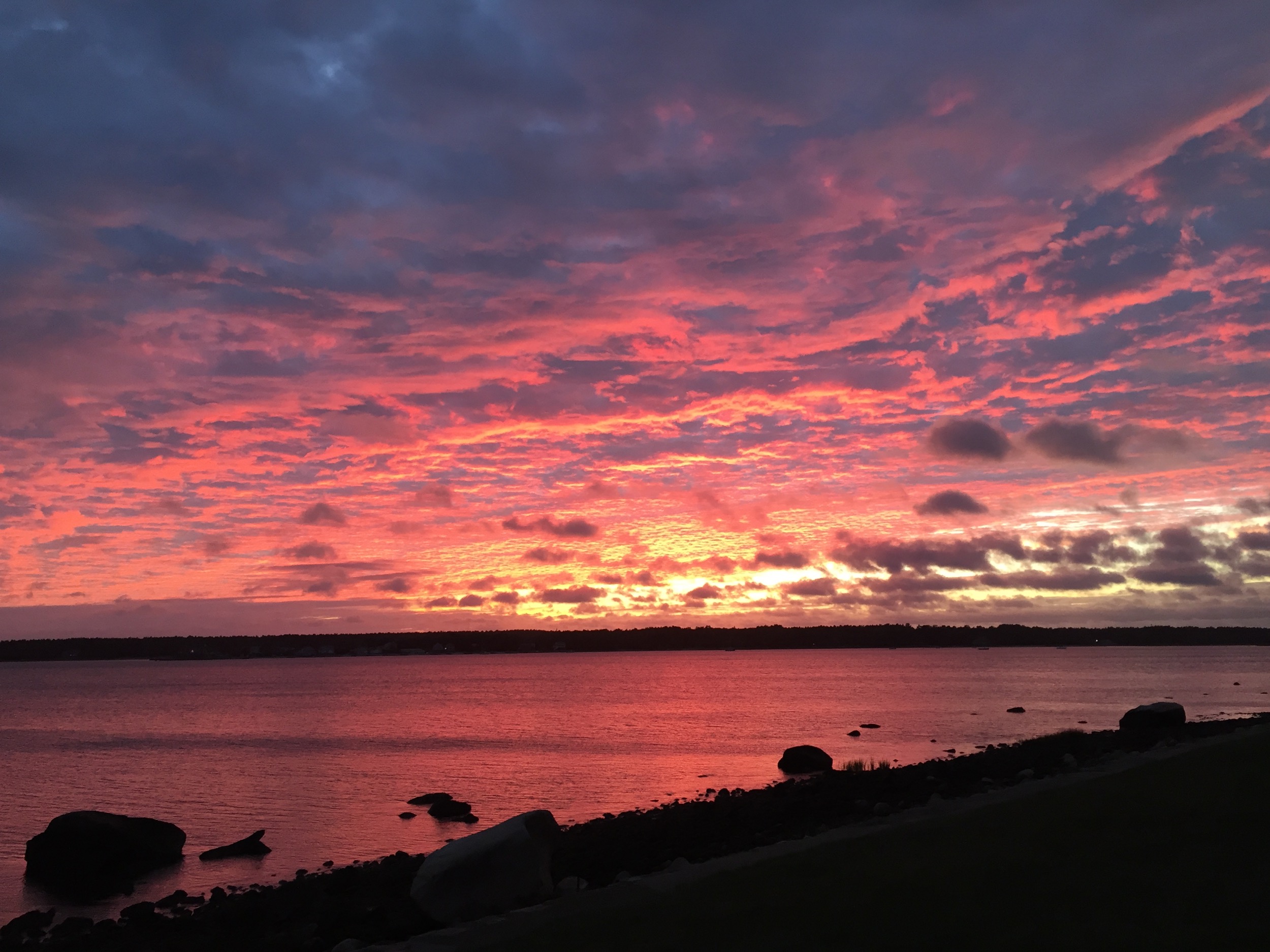
Stormy Sunset

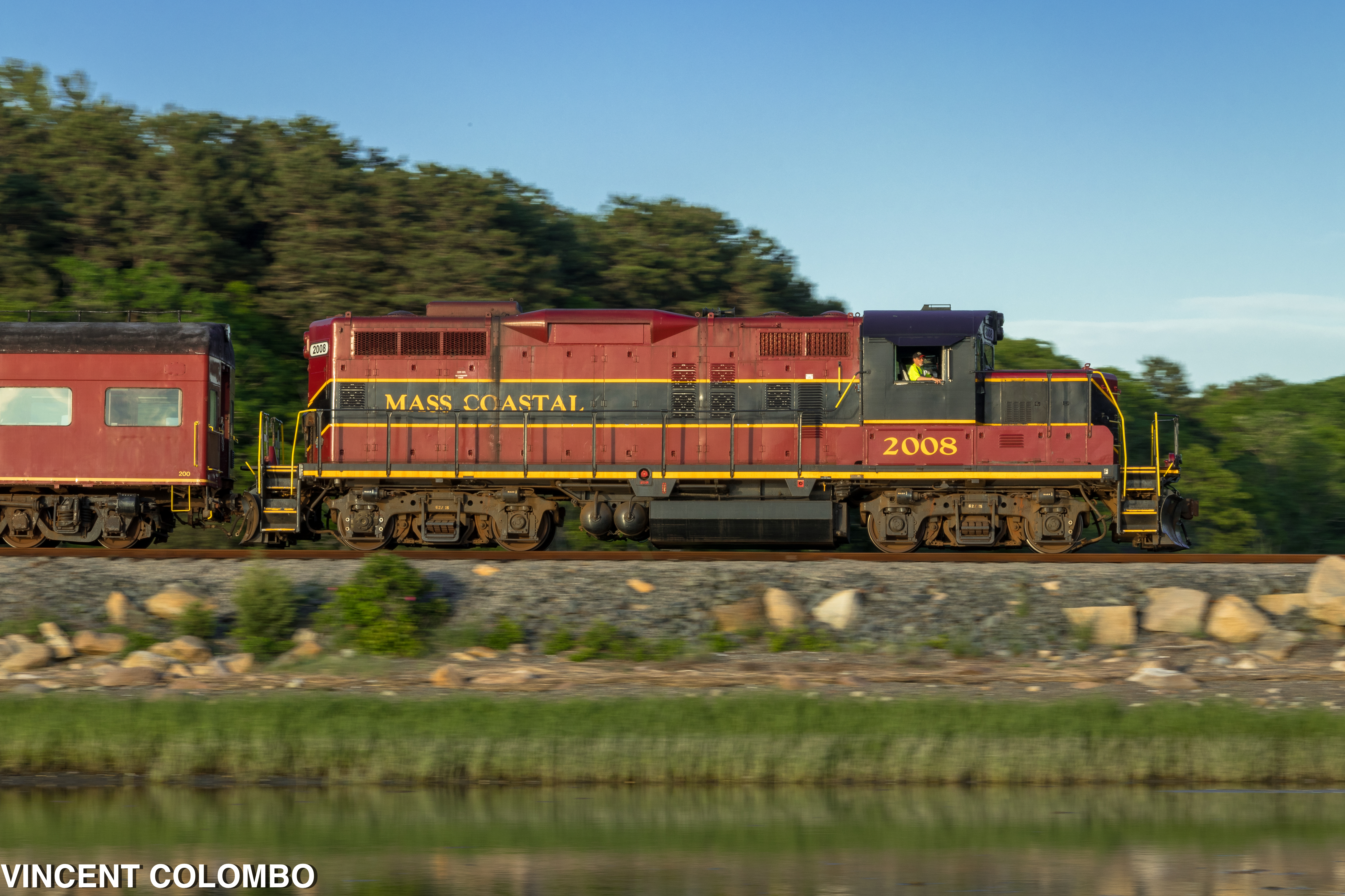
Need A Northbound

Red Light
20151005-183038-1
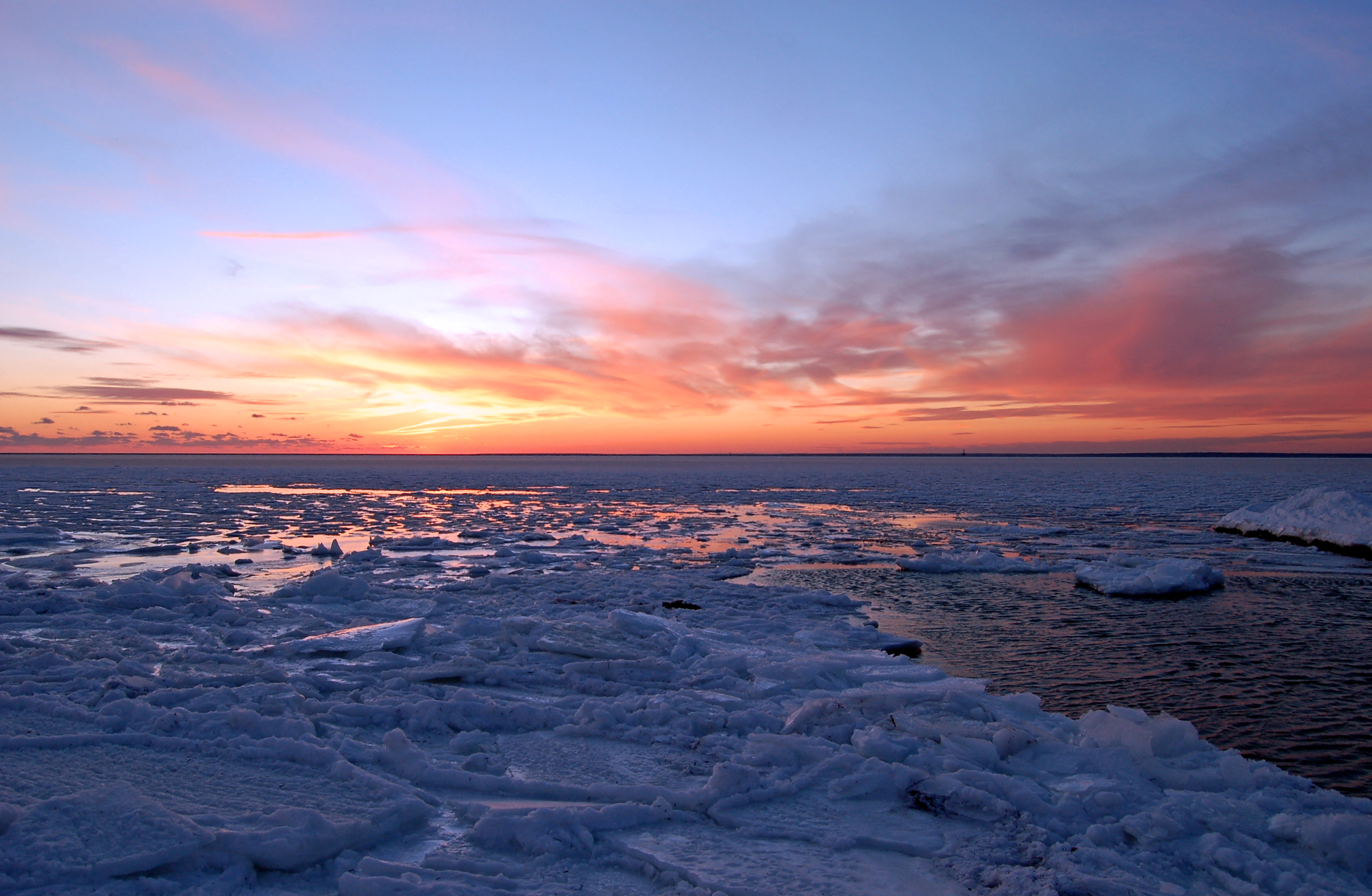
Cape Cod Winter
20151005-183154-8

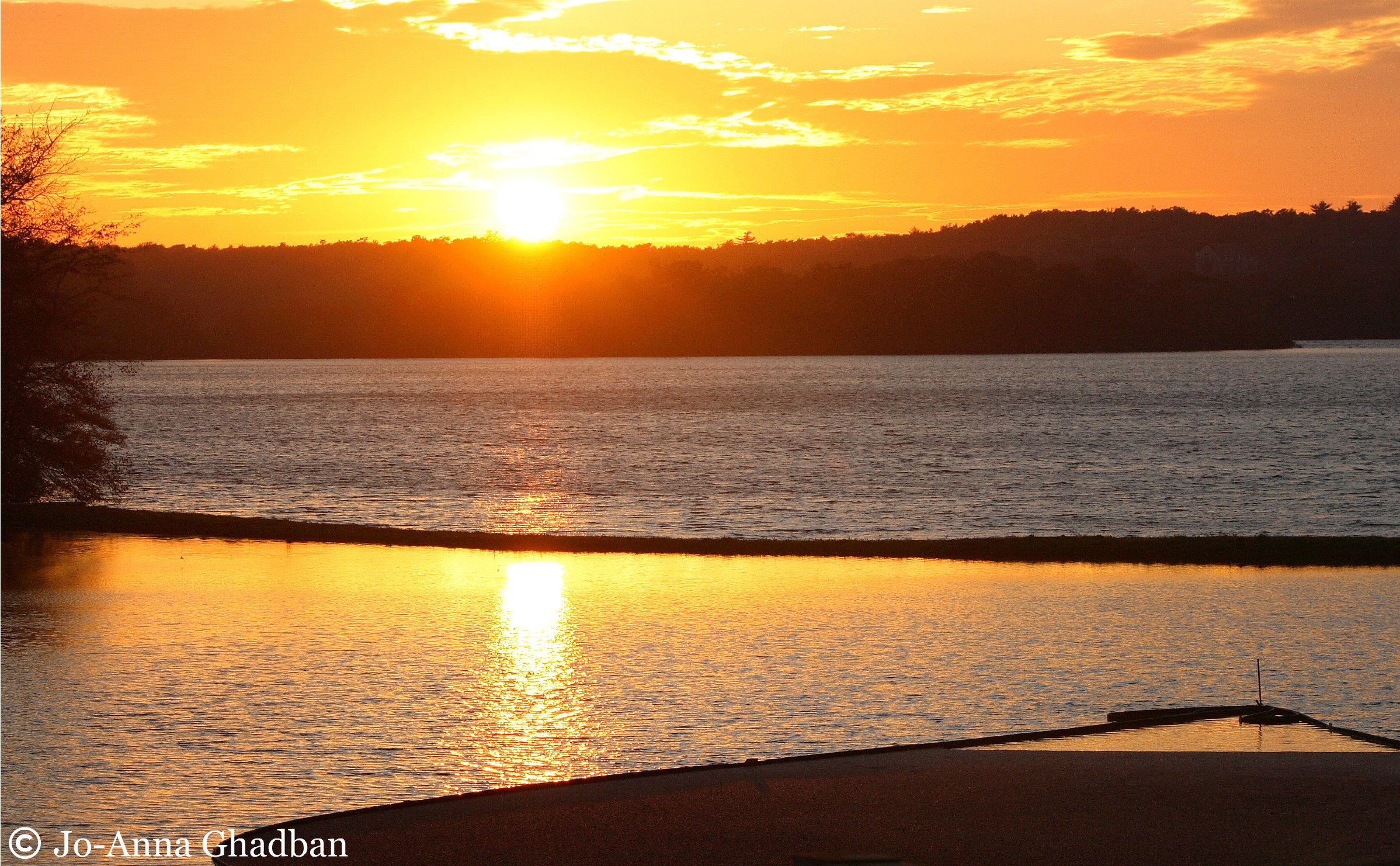
Golden Sunset

Track Lines

Sandwich Center at Sunset

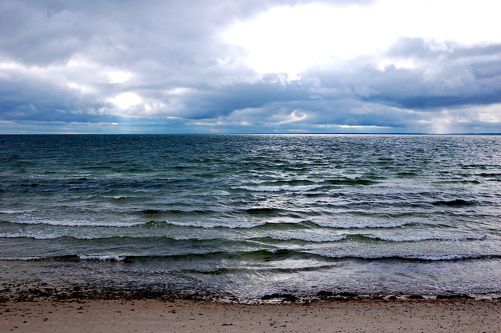
Storm over the Water
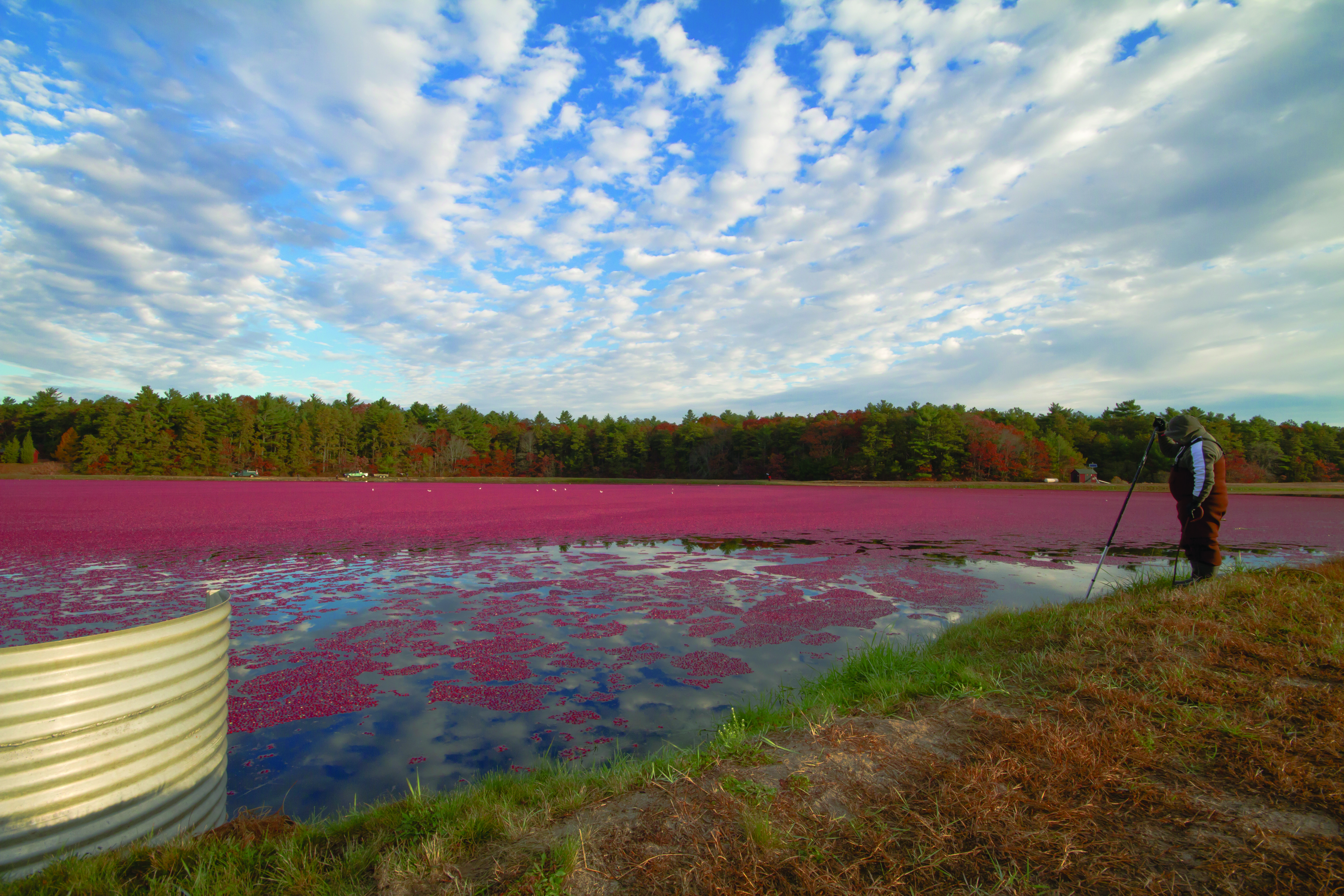
cranberry bog harvest at sunset
Topographic Map of Red Brook Harbor Rd, Bourne, MA, USA
Find elevation by address:

Places near Red Brook Harbor Rd, Bourne, MA, USA:
Squeteague Harbor Road
41 Ocean Ave
Cataumet
5 Falmouth Ave
55 Megansett Rd
40 Red Brook Harbor Rd
40 Red Brook Harbor Rd
1225 County Rd
Cuffs Pond
Mill Pond Circle
2 Mill Pond Cir
1252 Ma-28a
111 Elgin Rd
56 Cedar Point Dr
Pocasset
3 Geoffrey Ln
861 Shore Rd
851 Shore Rd
847 Shore Rd
841 Shore Rd
Recent Searches:
- Elevation of Felindre, Swansea SA5 7LU, UK
- Elevation of Leyte Industrial Development Estate, Isabel, Leyte, Philippines
- Elevation of W Granada St, Tampa, FL, USA
- Elevation of Pykes Down, Ivybridge PL21 0BY, UK
- Elevation of Jalan Senandin, Lutong, Miri, Sarawak, Malaysia
- Elevation of Bilohirs'k
- Elevation of 30 Oak Lawn Dr, Barkhamsted, CT, USA
- Elevation of Luther Road, Luther Rd, Auburn, CA, USA
- Elevation of Unnamed Road, Respublika Severnaya Osetiya — Alaniya, Russia
- Elevation of Verkhny Fiagdon, North Ossetia–Alania Republic, Russia