Elevation of Reb Ln, Calico Rock, AR, USA
Location: United States > Arkansas > Izard County > Union Township > Calico Rock >
Longitude: -92.074904
Latitude: 36.0690345
Elevation: 153m / 502feet
Barometric Pressure: 99KPa
Elevation Map:
Satellite Map:
Related Photos:

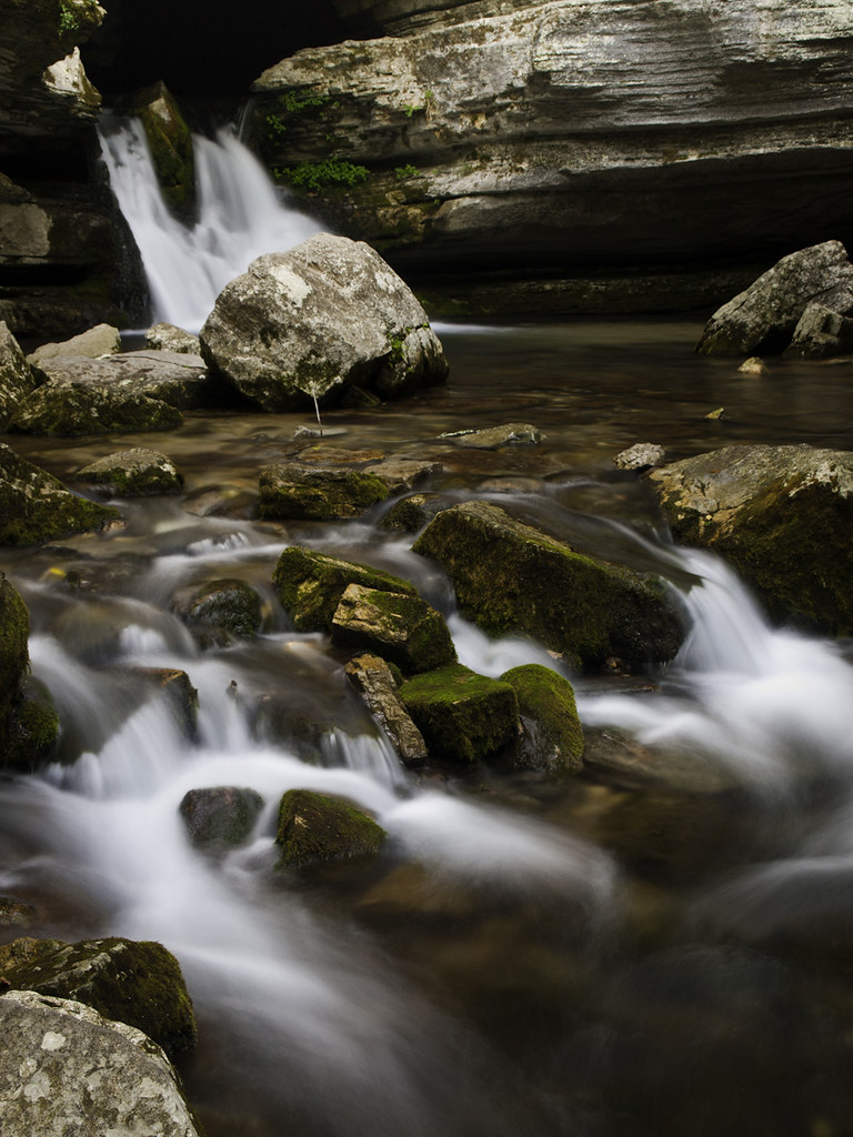
blanchard springs from sideb
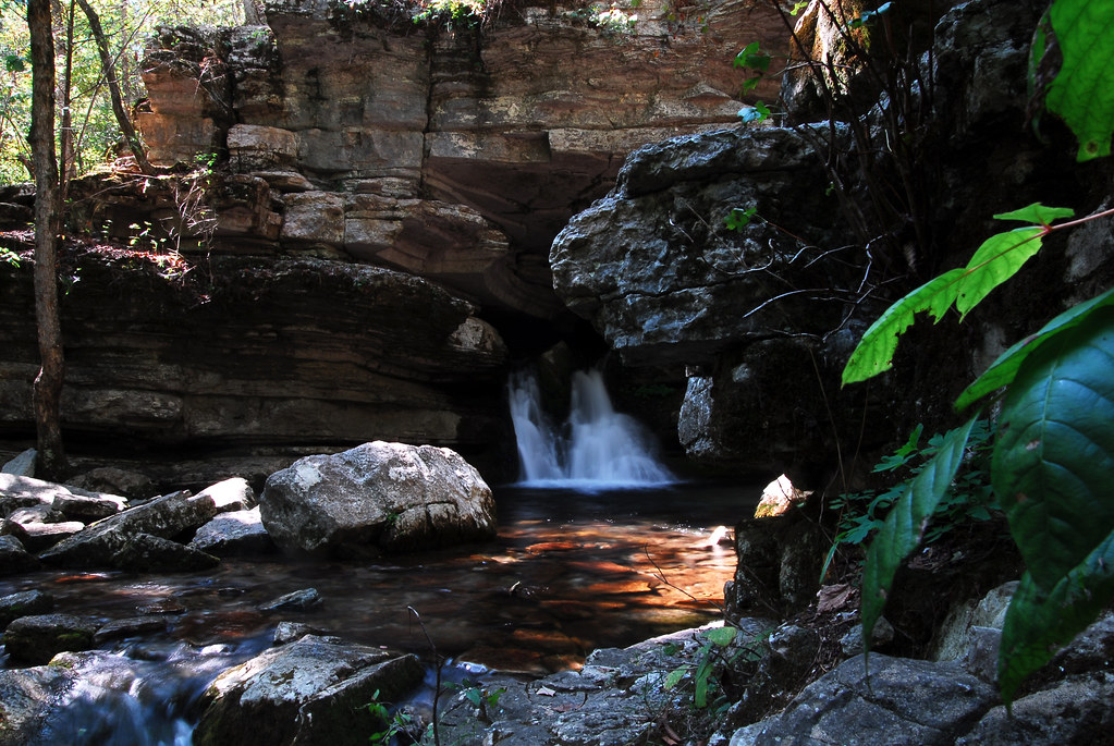
blanchard springs 1
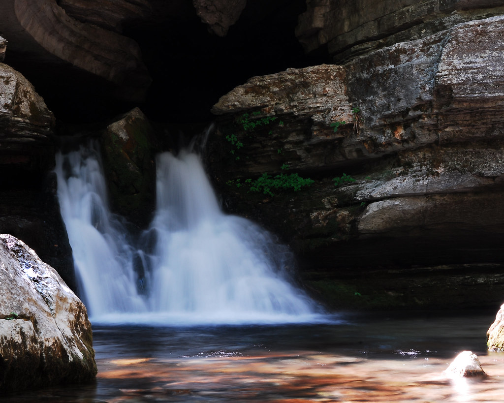
blanchard springs front
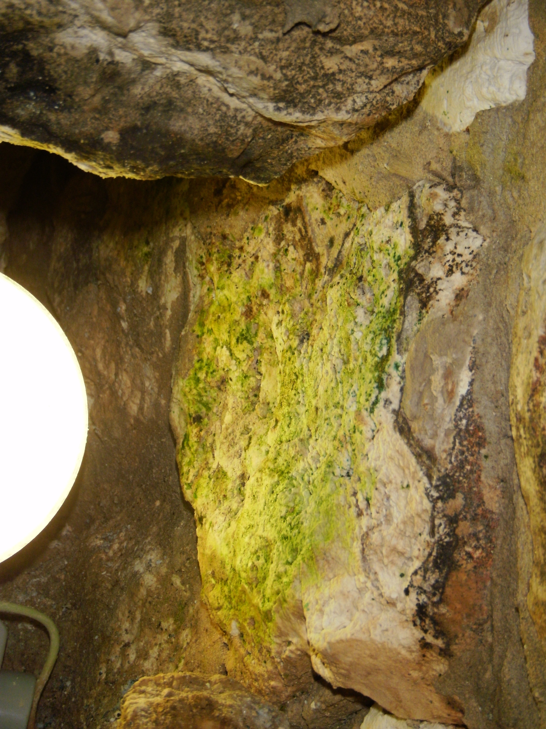
Blanchard Springs Arkansas
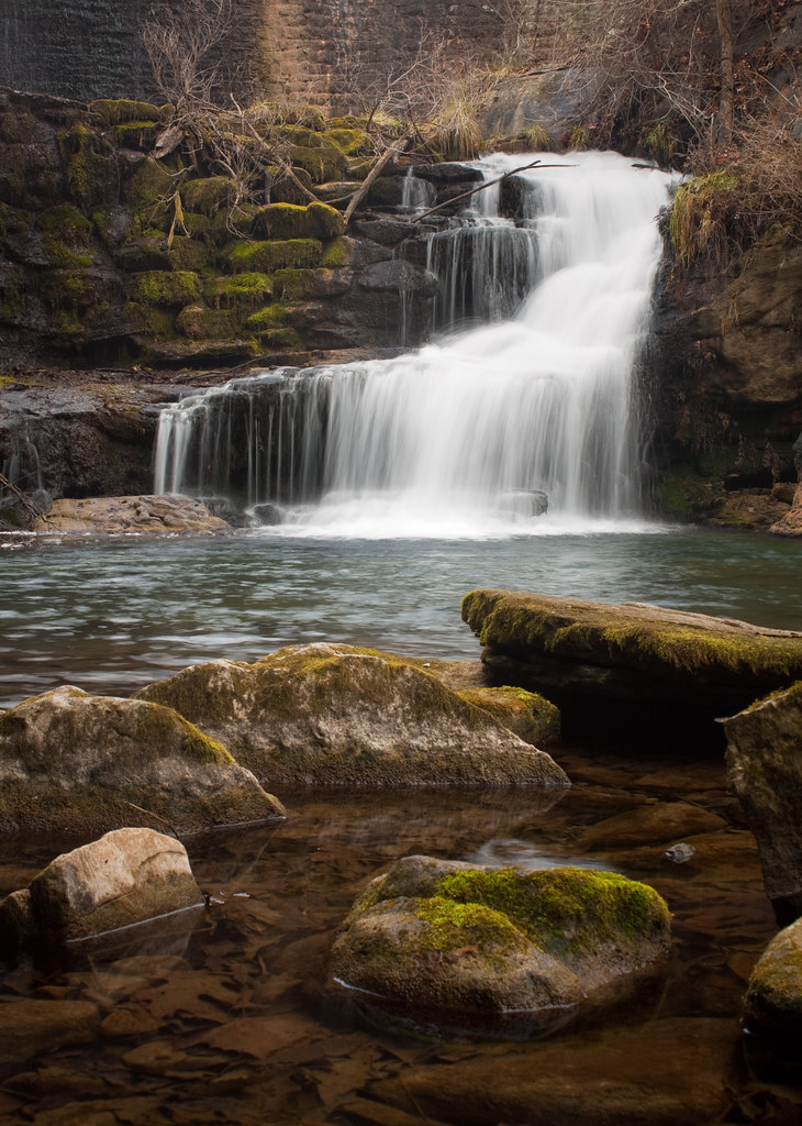
another dam waterfall
Don't drink the water
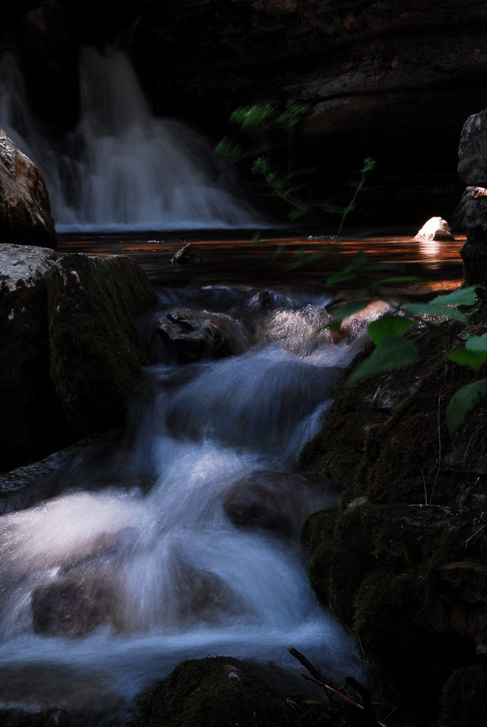
below blanchard springs
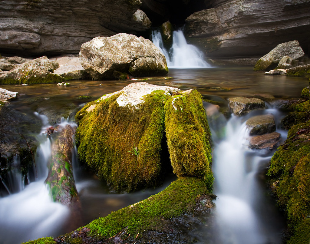
Blanchard Springs
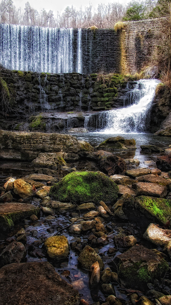
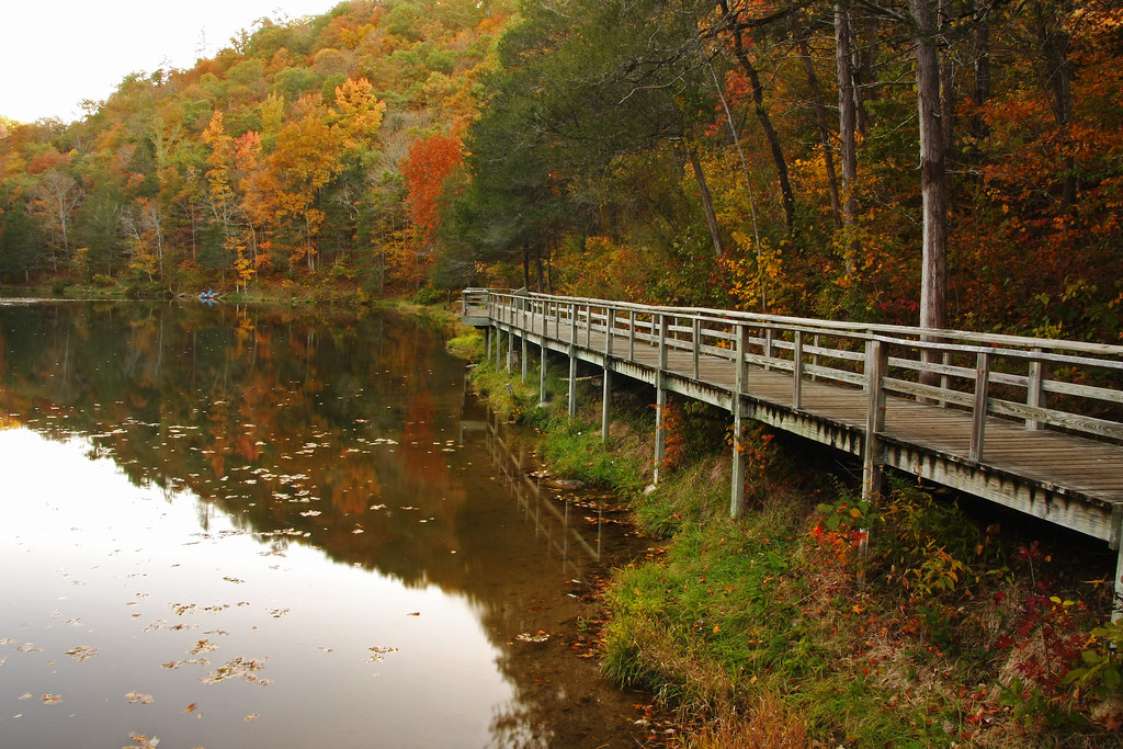
Mirror Lake Dam
OLYMPUS DIGITAL CAMERA
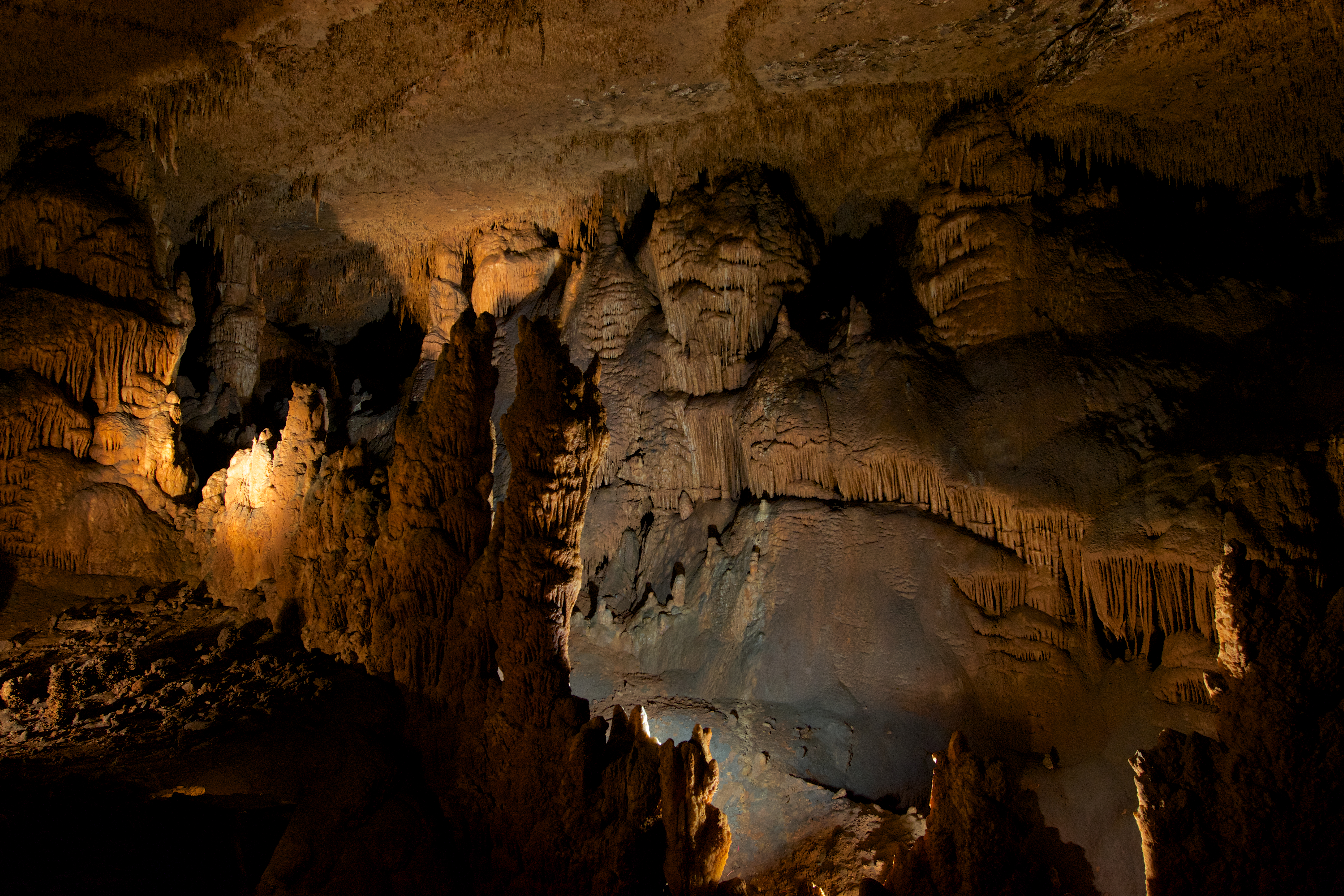
Blanchard Springs Caverns
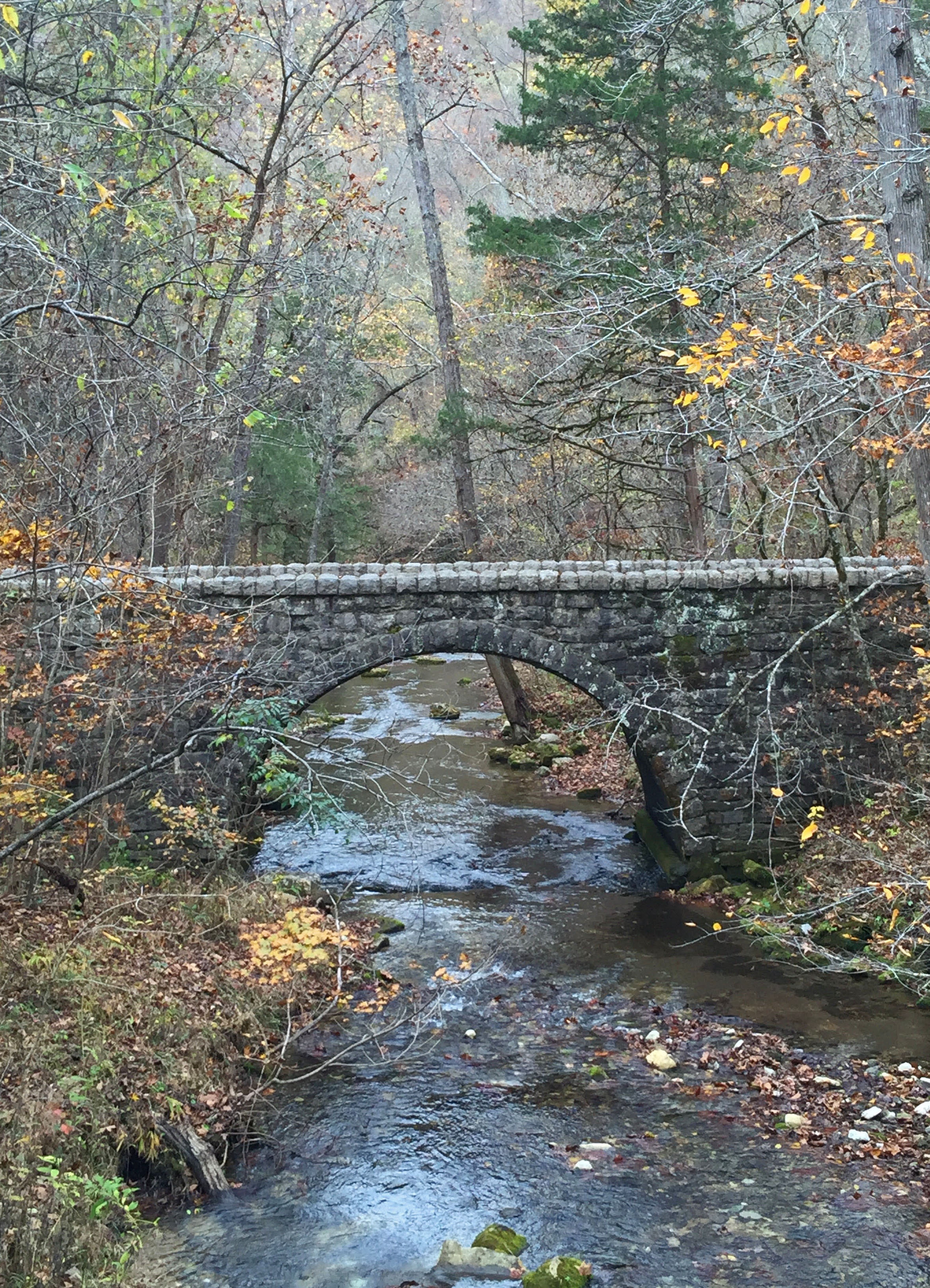
bridge at Blanchard Springs recreation area, AR
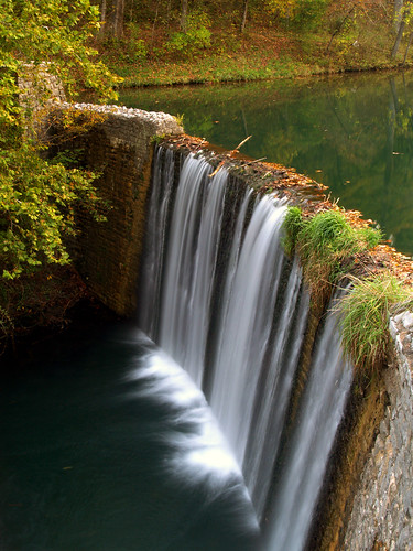
Mirror Lake dam
Topographic Map of Reb Ln, Calico Rock, AR, USA
Find elevation by address:

Places near Reb Ln, Calico Rock, AR, USA:
866 Reb Ln
County Road 199
AR-, Pineville, AR, USA
Pineville
3100 Ar-223
116 Douglas Dr
Melbourne
Mill Creek Township
3-1
Izard County
Violet Hill Township
AR-69 BUS, Melbourne, AR, USA
AR-56, Franklin, AR, USA
Sage Township
65 Sycamore Ln, Sage, AR, USA
Franklin Township
Pleasant Hill Township
Franklin
20 AR-56, Franklin, AR, USA
Recent Searches:
- Elevation of Lampiasi St, Sarasota, FL, USA
- Elevation of Elwyn Dr, Roanoke Rapids, NC, USA
- Elevation of Congressional Dr, Stevensville, MD, USA
- Elevation of Bellview Rd, McLean, VA, USA
- Elevation of Stage Island Rd, Chatham, MA, USA
- Elevation of Shibuya Scramble Crossing, 21 Udagawacho, Shibuya City, Tokyo -, Japan
- Elevation of Jadagoniai, Kaunas District Municipality, Lithuania
- Elevation of Pagonija rock, Kranto 7-oji g. 8"N, Kaunas, Lithuania
- Elevation of Co Rd 87, Jamestown, CO, USA
- Elevation of Tenjo, Cundinamarca, Colombia