Elevation of Razanaka, Madagascar
Location: Madagascar > Toamasina Province > Vohibinany >
Longitude: 48.8793679
Latitude: -18.771312
Elevation: 27m / 89feet
Barometric Pressure: 101KPa
Elevation Map:
Satellite Map:
Related Photos:
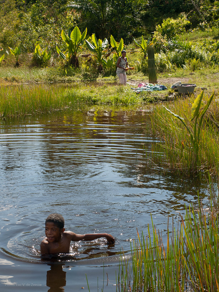
Boy taking a dip on a warm day. Meanwhile his mother is washing clothes.

Large family

Boy taking a dip on a warm day
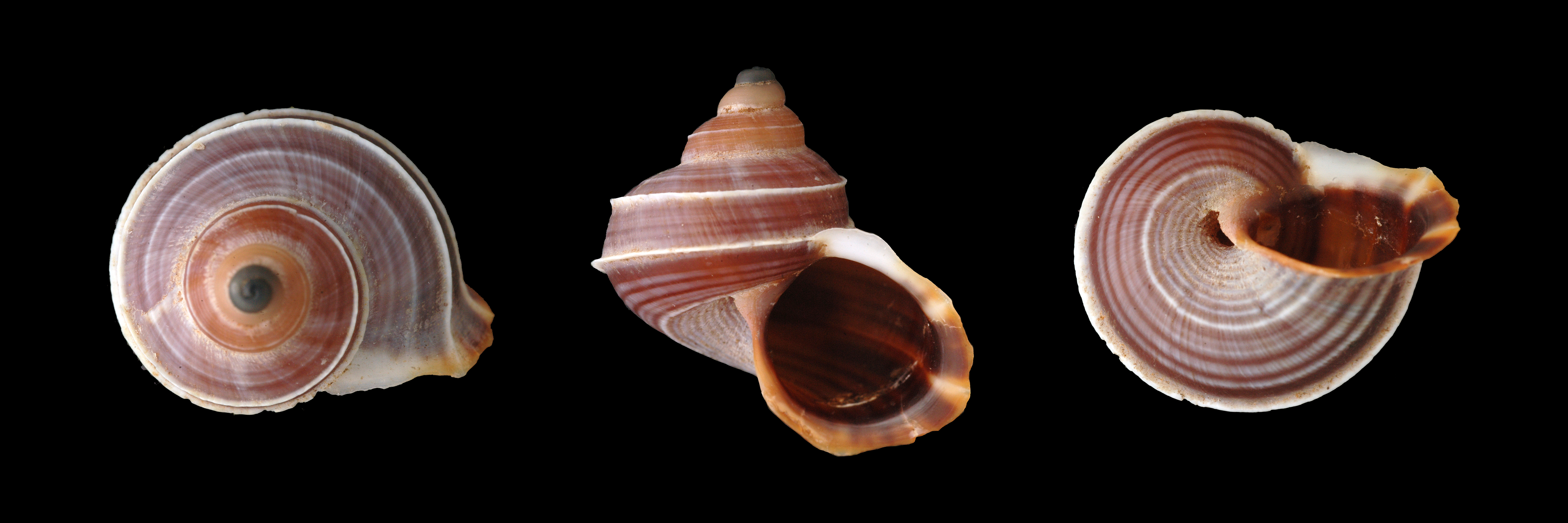
Tropidophora sp. 045, Andriantantely, Madagascar
Topographic Map of Razanaka, Madagascar
Find elevation by address:

Places near Razanaka, Madagascar:
Atsinanana
Lohariandava
Vohibinany
Ampitambe
Moramanga District
Moramanga
Anjiro
Manjakandriana
Andavabato
Recent Searches:
- Elevation of Doe Cir, Clinton, OH, USA
- Elevation of Narhe, Pune, Maharashtra, India
- Elevation of Martins Mill Ct, Eagle Rock, NC, USA
- Elevation of Kippen, Stirling FK8, UK
- Elevation of Sieveringer Straße, Sieveringer Str., Wien, Austria
- Elevation of Bratskaya Ulitsa, 24, Kurgan, Kurganskaya oblast', Russia
- Elevation of Paradisvegen, Biri, Norway
- Elevation of Crystal Cir, Birmingham, AL, USA
- Elevation of N Railroad Ave, West Palm Beach, FL, USA
- Elevation of 55 Cassick Valley Rd, Wellfleet, MA, USA