Elevation of Ray Rd, Toledo, WA, USA
Location: United States > Washington > Lewis County > Toledo >
Longitude: -122.84606
Latitude: 46.431879
Elevation: -10000m / -32808feet
Barometric Pressure: 295KPa
Elevation Map:
Satellite Map:
Related Photos:

05-27-2010JohnstonRidgeObservatoryA

Bridge and Pads

Volcano sunrise 2

The Largest Egg in the World
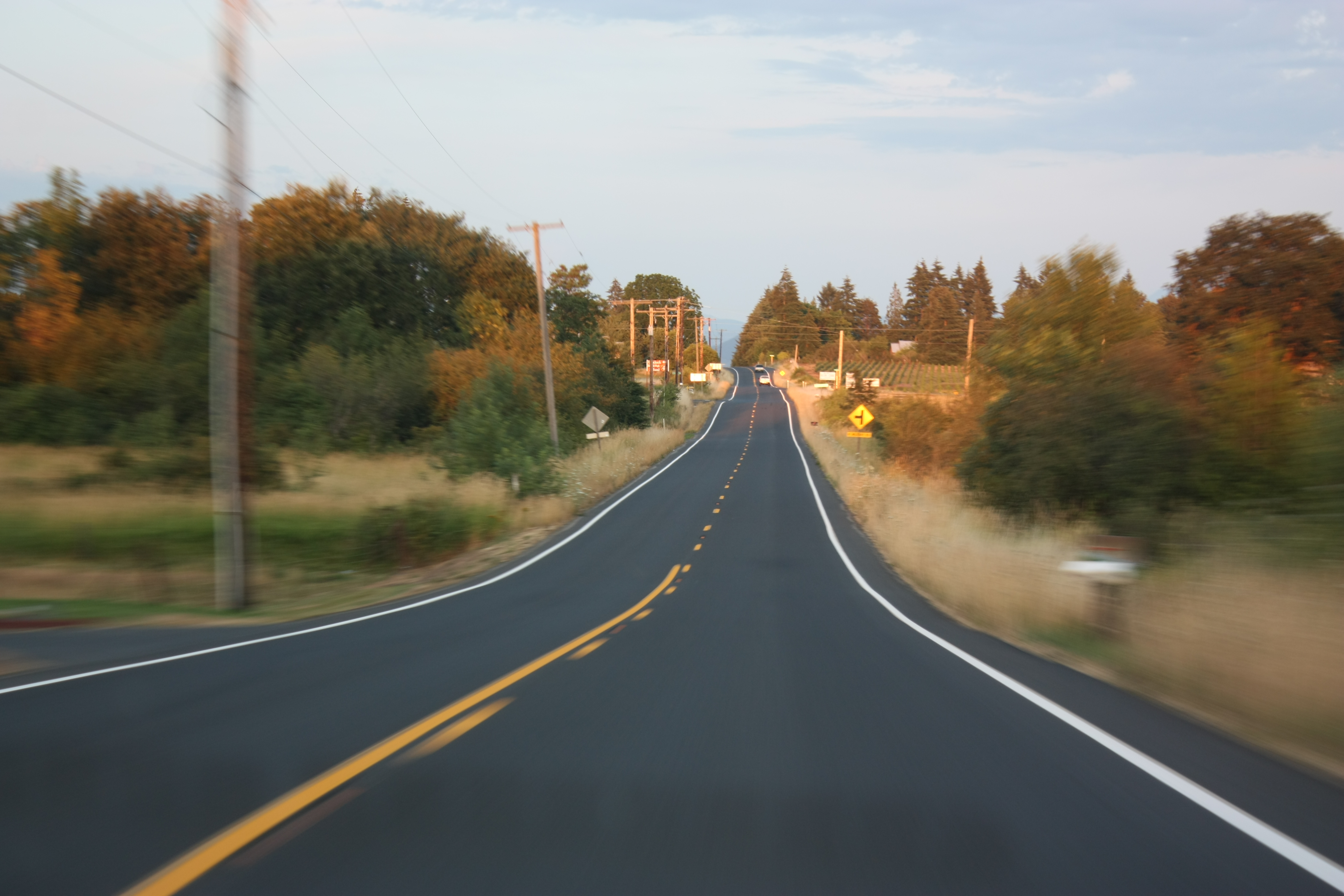
The Road from Winlock

Mount St. Helens

Memorials (PDX to Victoria)

Mount St. Helens

The Rooster Overlord sees all!

2014/365/295 Can See Awesome From Here
Morning sun

Volcano sunrise 3

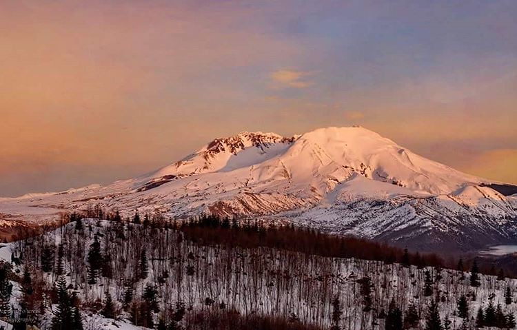
Mount St. Helens

Volcano sunrise 6

Volcano sunrise 7

Mount St. Helens

this is my preferred view of I-5
The view towards Mount St. Helens

View from bed

Cowlitz River

Warehouse wreckage

Mt St. Helens

Merchant Road Homestead sepia
Standing in a Field
The Toutle River: Mt St Helens' pyroclastic debris drain

Last Sunrise Of 2012
Snowy mount st Helens at sunset. #mtsthelens #mountain #nature #volcano #snow #sunset #landscape #color #texture #dagmarwoltereckphotography

Olequa Creek

Cedar Forest, Lewis and Clark State Park, Washington, 2015

Hidden in the Grass

Toutle Valley

The Mighty Columbia

Winlock, Wa area

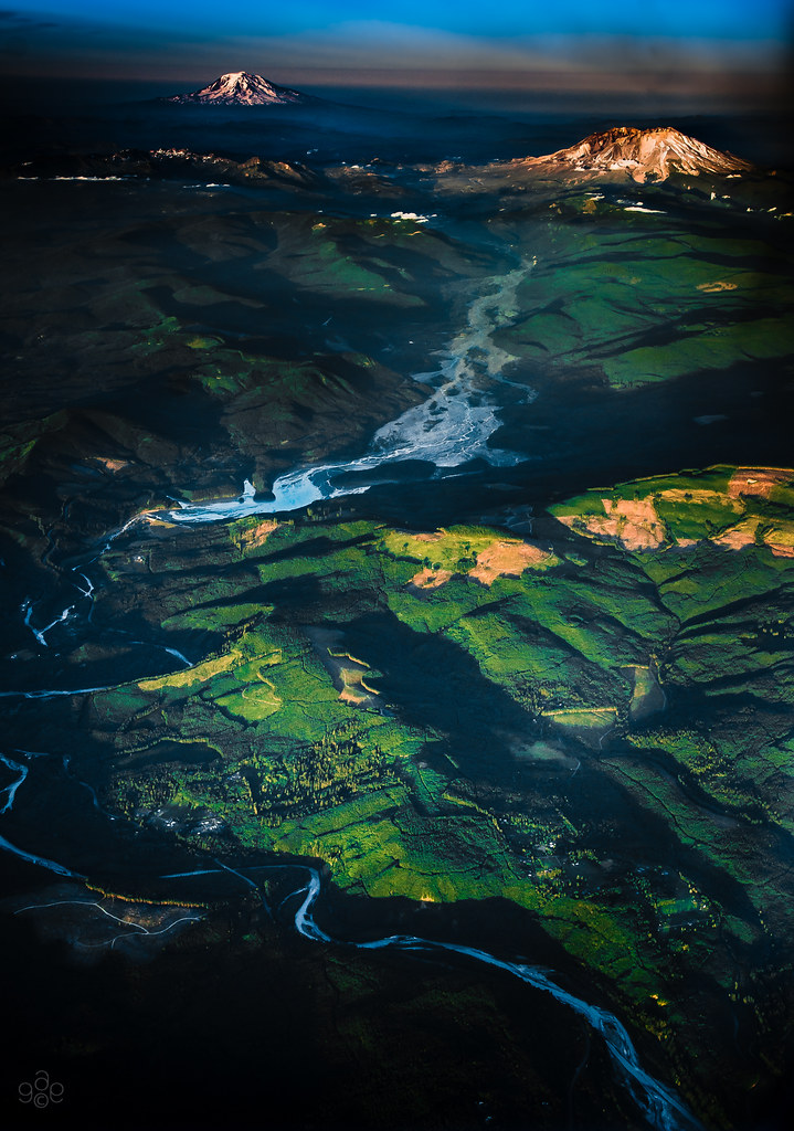
North fork of the Toutle and Rainier

Sunrise Through Trees

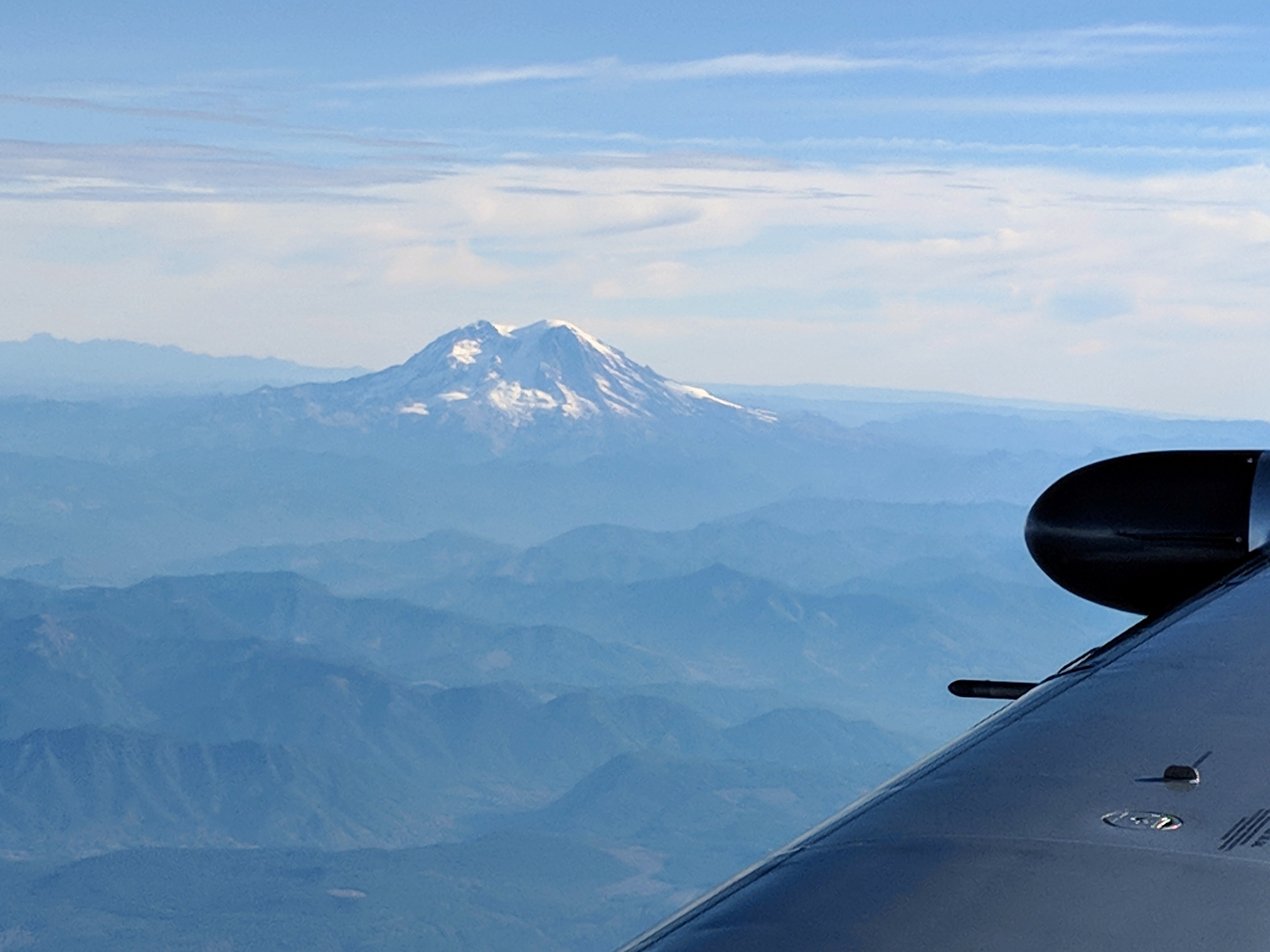
Mt Rainier and Mt St Helens
Mount Rainier

Quiet Giants

in the morning

Memorials (PDX to Victoria)
Go away! She's mine!!!

Mount Saint Helens
Topographic Map of Ray Rd, Toledo, WA, USA
Find elevation by address:

Places near Ray Rd, Toledo, WA, USA:
121 Alder St
130 N 2nd St
Toledo
155 N 5th St
164 Salmon Creek Rd
126 Collins Rd
239 Collins Rd
158 Rakoz Rd
181 Twin Peaks Dr
St. Vincent De Paul Society
1830 Wa-505
621 Telegraph Rd
557 Telegraph Rd
149 Swindler Rd
517 S Military Rd
155 Schoolhouse Ln
Park Road
117 Mcglaughlin Rd
152 Duchess Ln
10 Nicholson Rd #10
Recent Searches:
- Elevation of Steadfast Ct, Daphne, AL, USA
- Elevation of Lagasgasan, X+CQH, Tiaong, Quezon, Philippines
- Elevation of Rojo Ct, Atascadero, CA, USA
- Elevation of Flagstaff Drive, Flagstaff Dr, North Carolina, USA
- Elevation of Avery Ln, Lakeland, FL, USA
- Elevation of Woolwine, VA, USA
- Elevation of Lumagwas Diversified Farmers Multi-Purpose Cooperative, Lumagwas, Adtuyon, RV32+MH7, Pangantucan, Bukidnon, Philippines
- Elevation of Homestead Ridge, New Braunfels, TX, USA
- Elevation of Orchard Road, Orchard Rd, Marlborough, NY, USA
- Elevation of 12 Hutchinson Woods Dr, Fletcher, NC, USA