Elevation of Ravenna, TX, USA
Location: United States > Texas > Fannin County >
Longitude: -96.258836
Latitude: 33.7051475
Elevation: 169m / 554feet
Barometric Pressure: 99KPa
Elevation Map:
Satellite Map:
Related Photos:
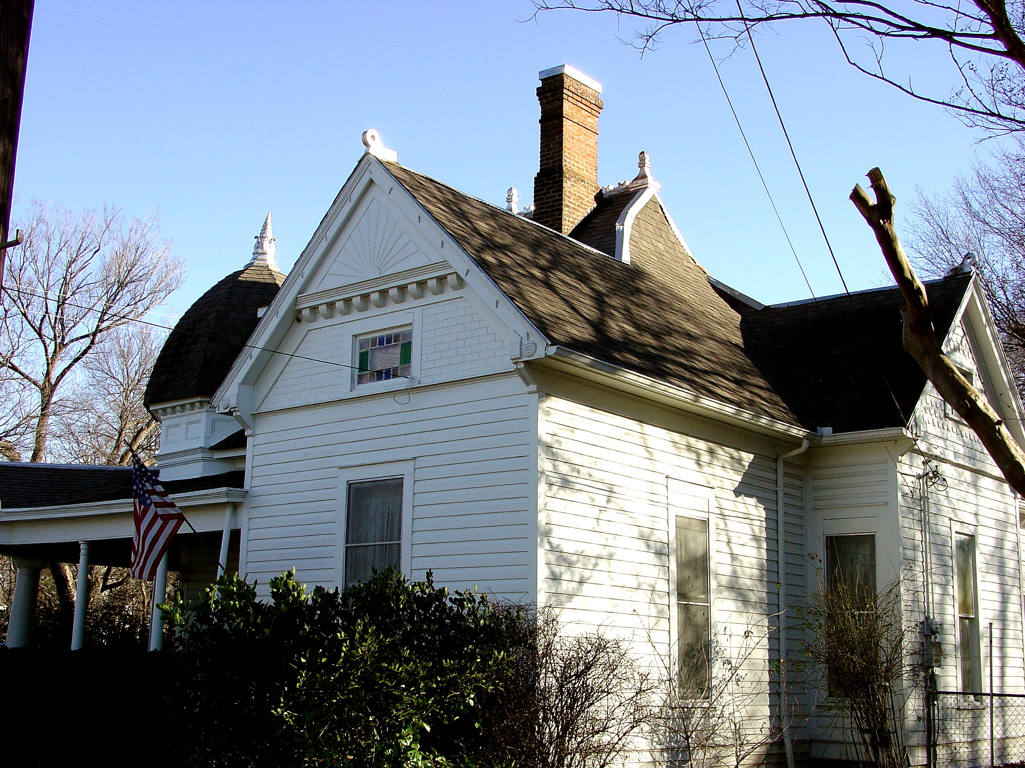
Bonham TX George Barber Queen Anne cottage

View from the highest point in Bonham!

Sam Rayburn House Back, Bonham, Texas

Lake Fannin Sunset

Light Painting at Lake Fannin
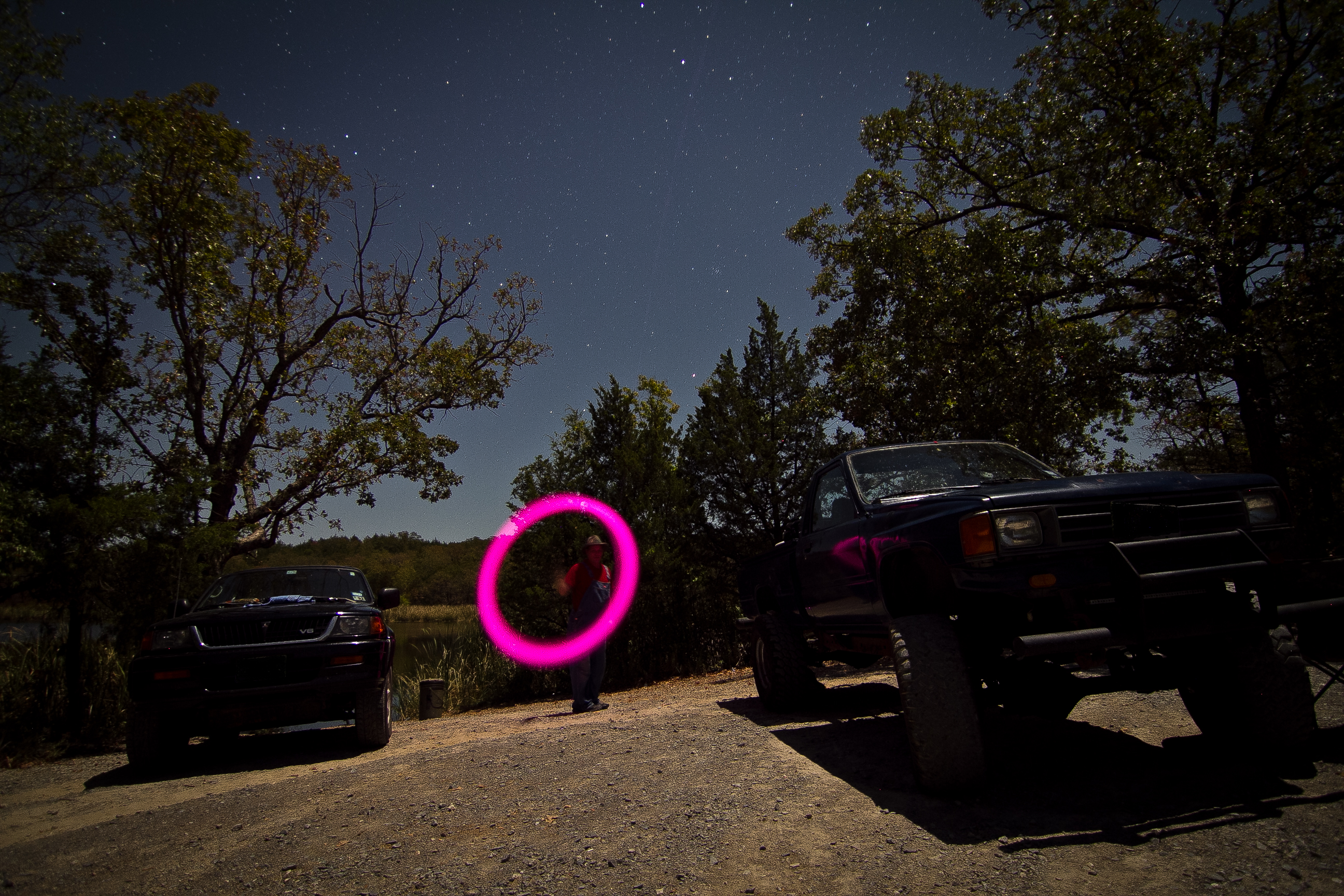
Light Painting at Lake Fannin

The L&N Don't Stop Here Anymore

OLD BRIDGE CROSSING STATES

Carpenter's Bluff Bridge Looking West

Carpenter's Bluff Bridge Looking East
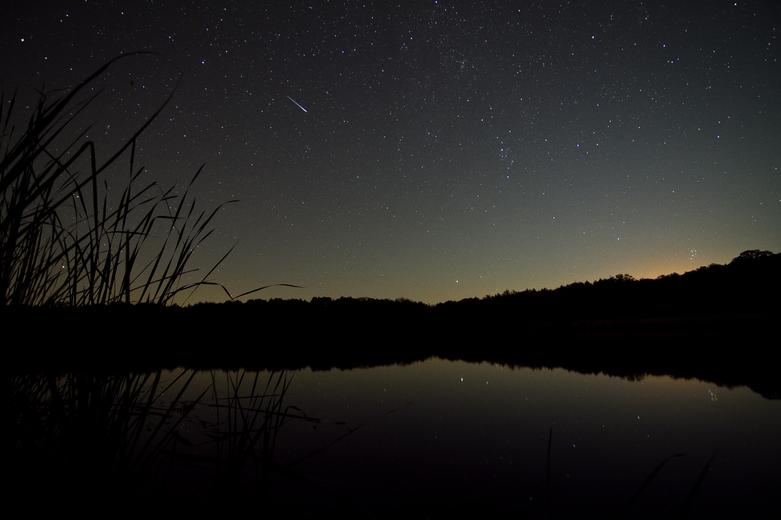
Moonrise at Lake Fannin

Lake Bonham

Fannin County Courthouse

Southern Oklahoma Landscape (Bryan County, Oklahoma)

Yarnaby - Landscape
Topographic Map of Ravenna, TX, USA
Find elevation by address:

Places near Ravenna, TX, USA:
1408 Co Rd 1400
Co Rd, Bonham, TX, USA
418 Co Rd 1535
Ivanhoe
964 Fm898
Ector
702 Lusk St
2228 Island Bayou Rd
1206 Park Ave
833 W Sam Rayburn Dr
Bonham
Savoy
130 Carpenter Loop
Cr, Randolph, TX, USA
959 Co Rd 2620
Co Rd, Ivanhoe, TX, USA
N Pecan St, Bells, TX, USA
Bells
Co Rd, Dodd City, TX, USA
Fm S, Bonham, TX, USA
Recent Searches:
- Elevation of Felindre, Swansea SA5 7LU, UK
- Elevation of Leyte Industrial Development Estate, Isabel, Leyte, Philippines
- Elevation of W Granada St, Tampa, FL, USA
- Elevation of Pykes Down, Ivybridge PL21 0BY, UK
- Elevation of Jalan Senandin, Lutong, Miri, Sarawak, Malaysia
- Elevation of Bilohirs'k
- Elevation of 30 Oak Lawn Dr, Barkhamsted, CT, USA
- Elevation of Luther Road, Luther Rd, Auburn, CA, USA
- Elevation of Unnamed Road, Respublika Severnaya Osetiya — Alaniya, Russia
- Elevation of Verkhny Fiagdon, North Ossetia–Alania Republic, Russia