Elevation of Rattanaburi District, Surin, Thailand
Location: Thailand > Surin >
Longitude: 103.857460
Latitude: 15.319645
Elevation: 132m / 433feet
Barometric Pressure: 100KPa
Elevation Map:
Satellite Map:
Related Photos:
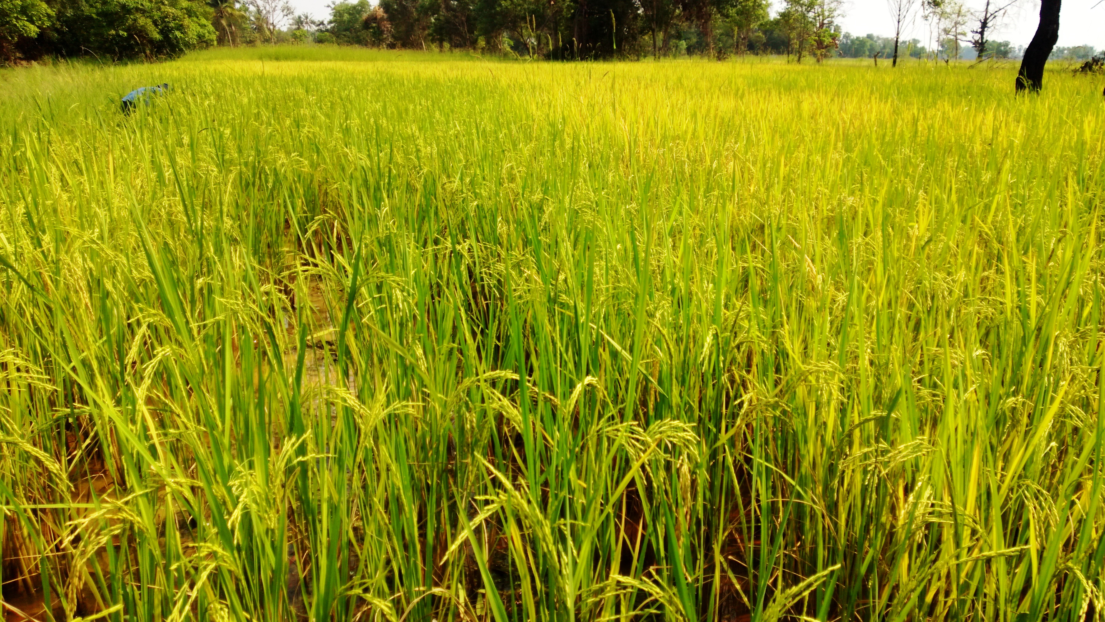
WP_20130330_004

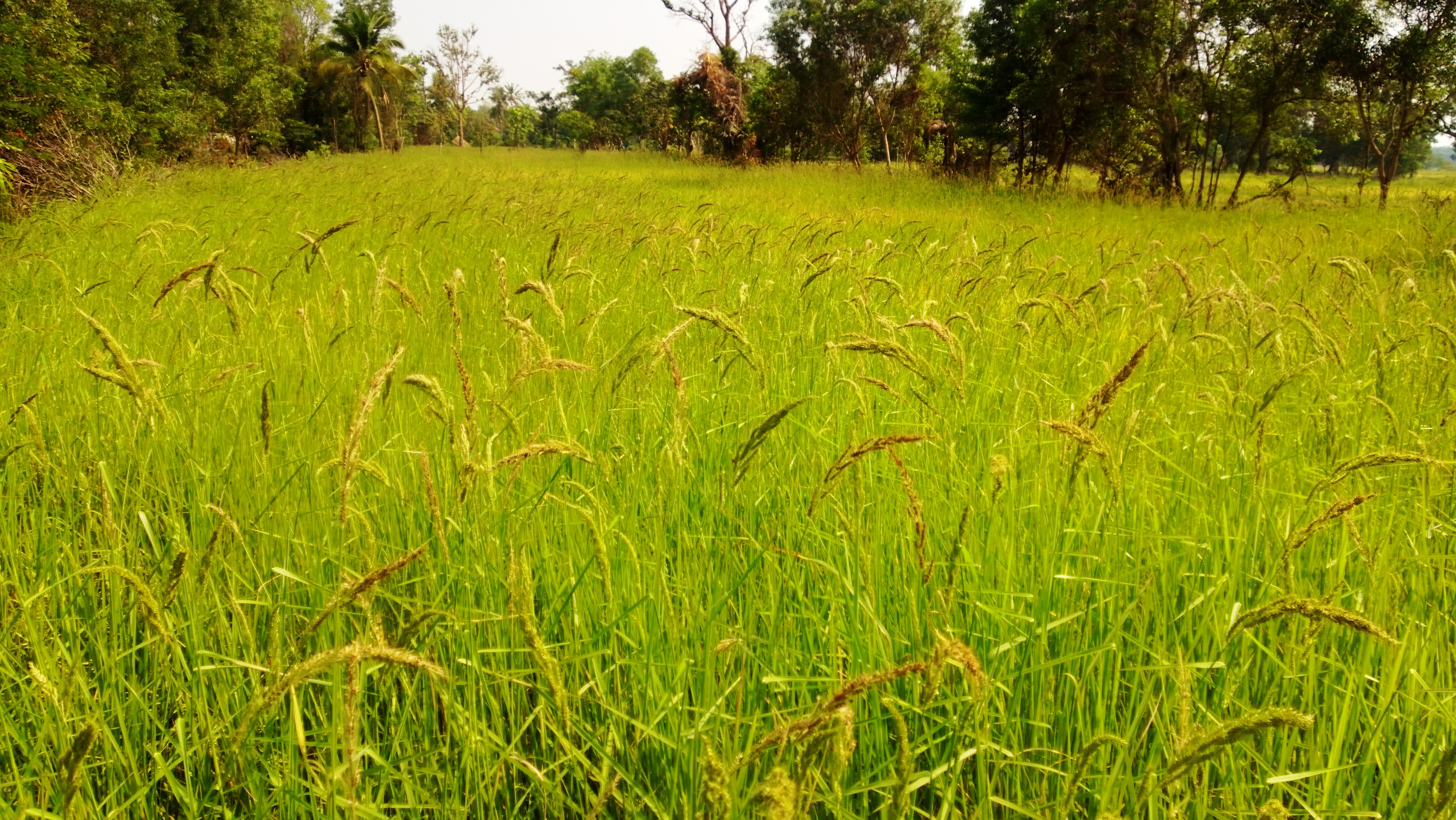
IMG_2775
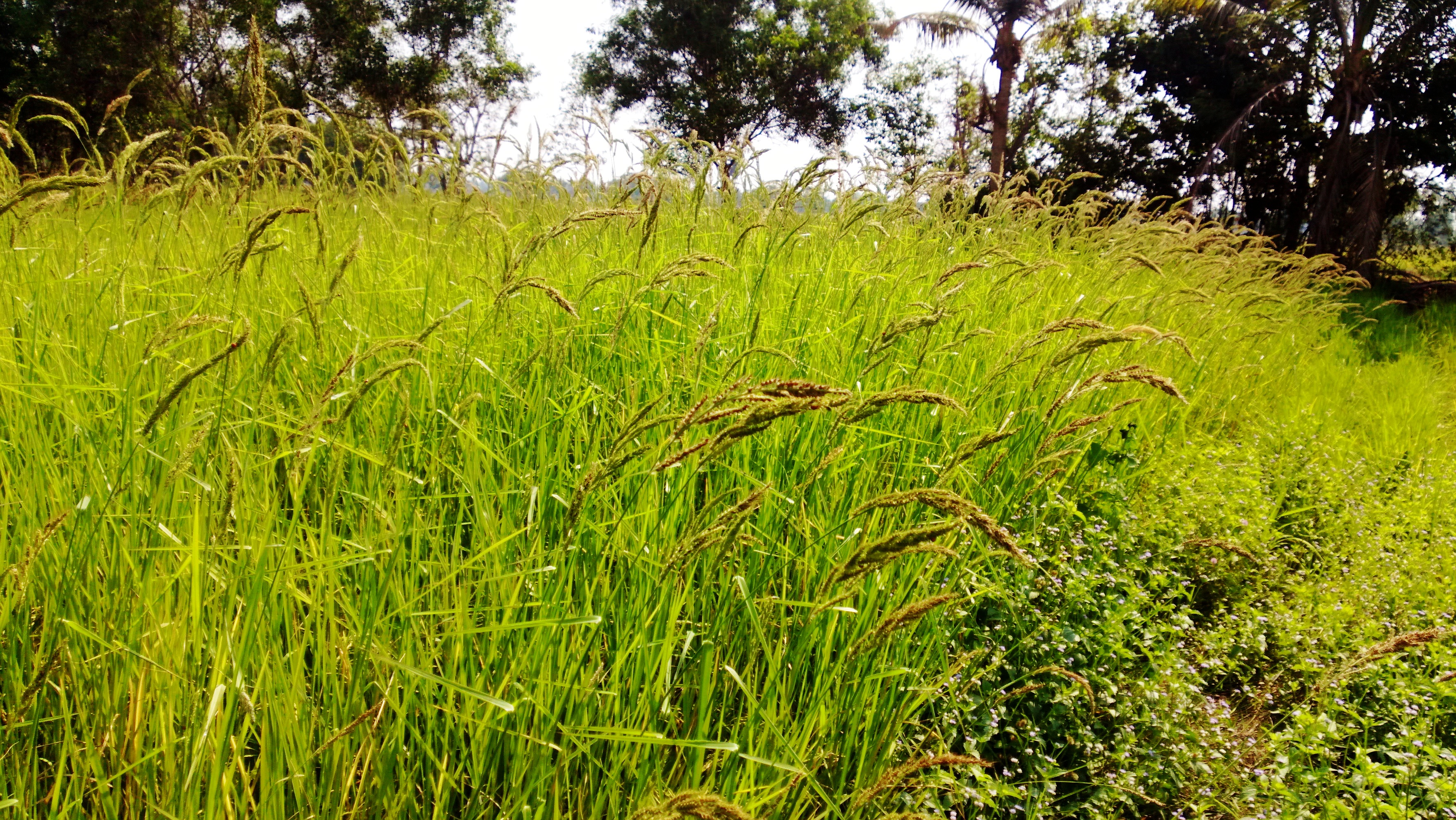
WP_20130330_003
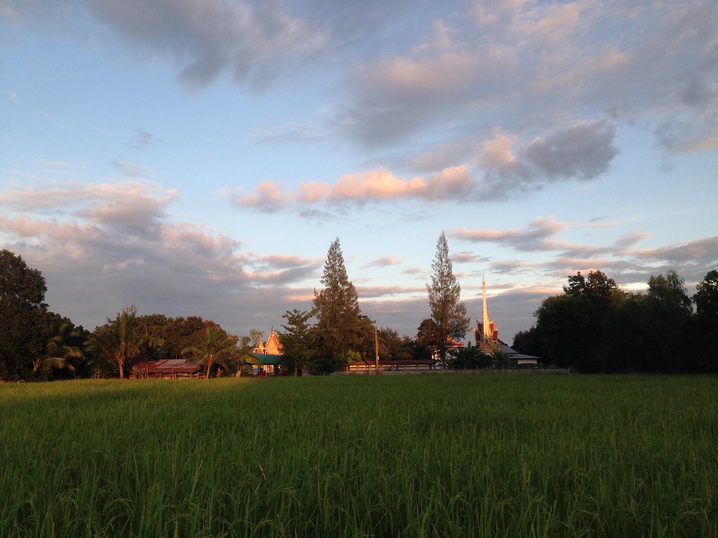
WP_20130330_001

image

image

image

image

image
IMG_2794

IMG_2777

IMG_2769

IMG_2774
Topographic Map of Rattanaburi District, Surin, Thailand
Find elevation by address:

Places in Rattanaburi District, Surin, Thailand:
Places near Rattanaburi District, Surin, Thailand:
Rattanaburi
Kut Kha Khim Health Center
Kut Kha Khim
Surin
Nai Mueang
Buri Ram
Buriram Bus Terminal
Kap Choeng District
Dan
Chong Chom Market
Mueang Buri Ram District
Oddar Meancheay
Recent Searches:
- Elevation of Elwyn Dr, Roanoke Rapids, NC, USA
- Elevation of Congressional Dr, Stevensville, MD, USA
- Elevation of Bellview Rd, McLean, VA, USA
- Elevation of Stage Island Rd, Chatham, MA, USA
- Elevation of Shibuya Scramble Crossing, 21 Udagawacho, Shibuya City, Tokyo -, Japan
- Elevation of Jadagoniai, Kaunas District Municipality, Lithuania
- Elevation of Pagonija rock, Kranto 7-oji g. 8"N, Kaunas, Lithuania
- Elevation of Co Rd 87, Jamestown, CO, USA
- Elevation of Tenjo, Cundinamarca, Colombia
- Elevation of Côte-des-Neiges, Montreal, QC H4A 3J6, Canada