Elevation of Rapid Forge Rd, Bainbridge, OH, USA
Location: United States > Ohio > Ross County > Paint Township >
Longitude: -83.362931
Latitude: 39.2909491
Elevation: 302m / 991feet
Barometric Pressure: 98KPa
Elevation Map:
Satellite Map:
Related Photos:

Old Mans Cave - View 4

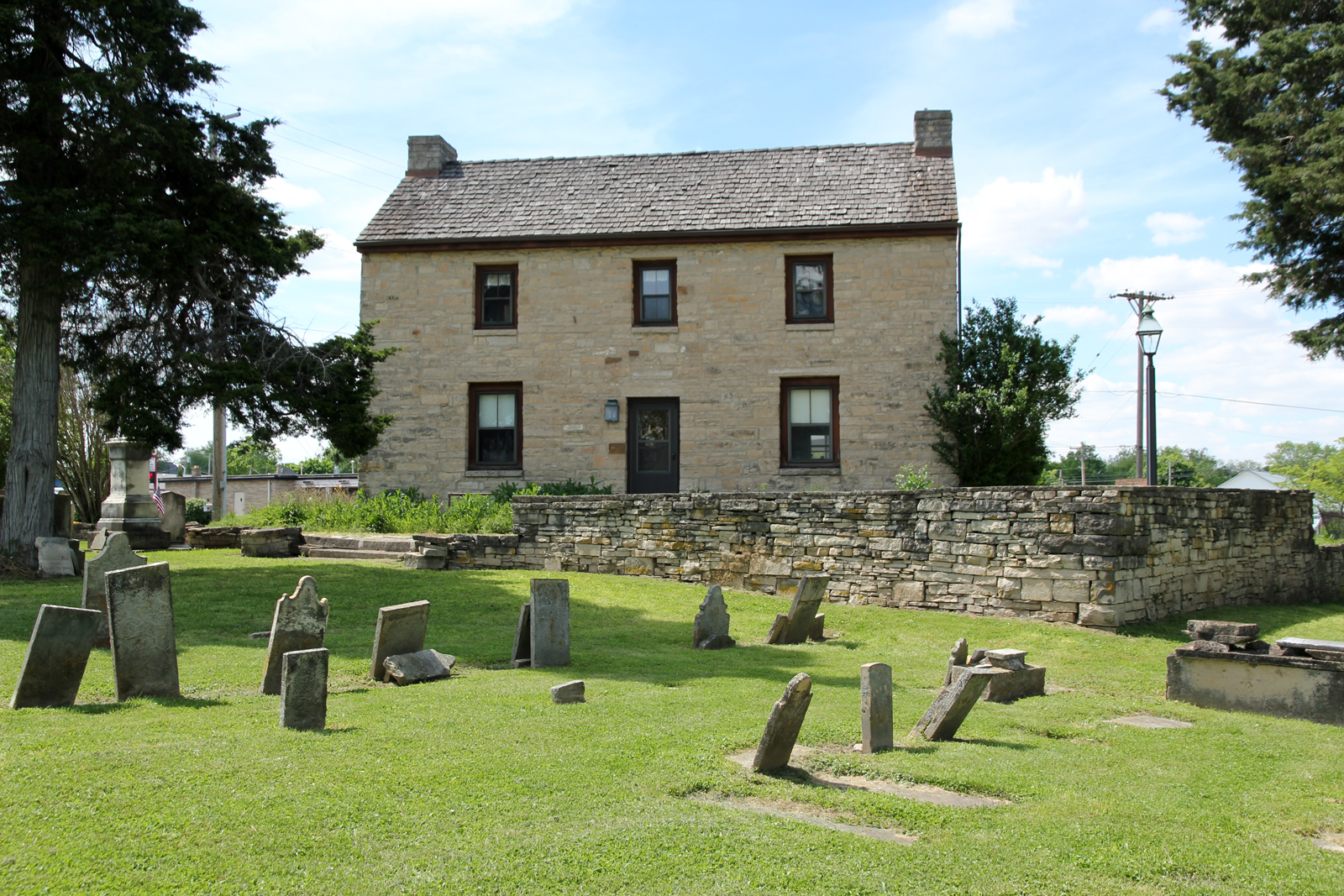
Rear, Christian Benner House — Paxton Township, Ross County, Ohio

Wavesport Promo
Cliff, Copperas Mountain — Twin Township, Ross County, OH
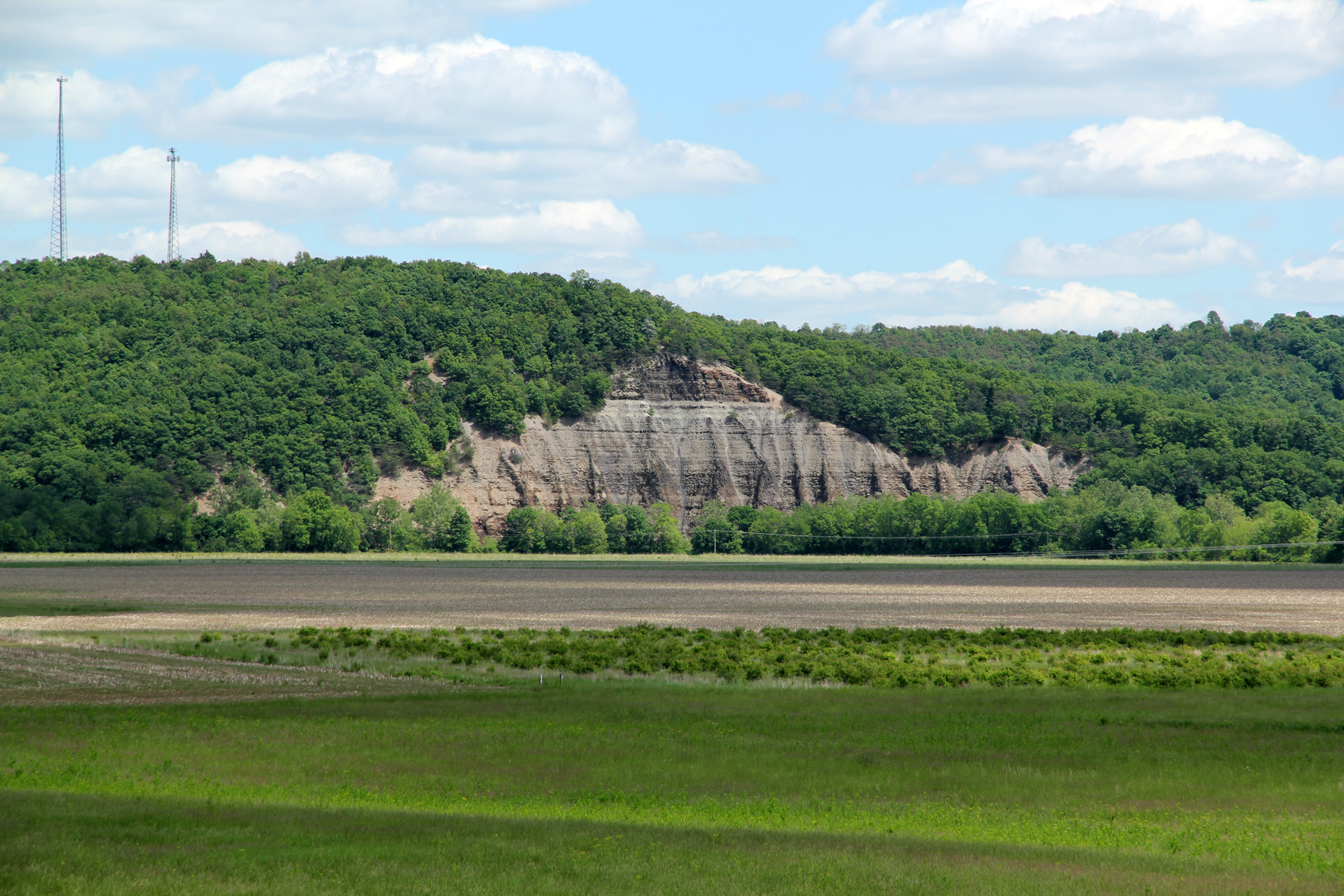
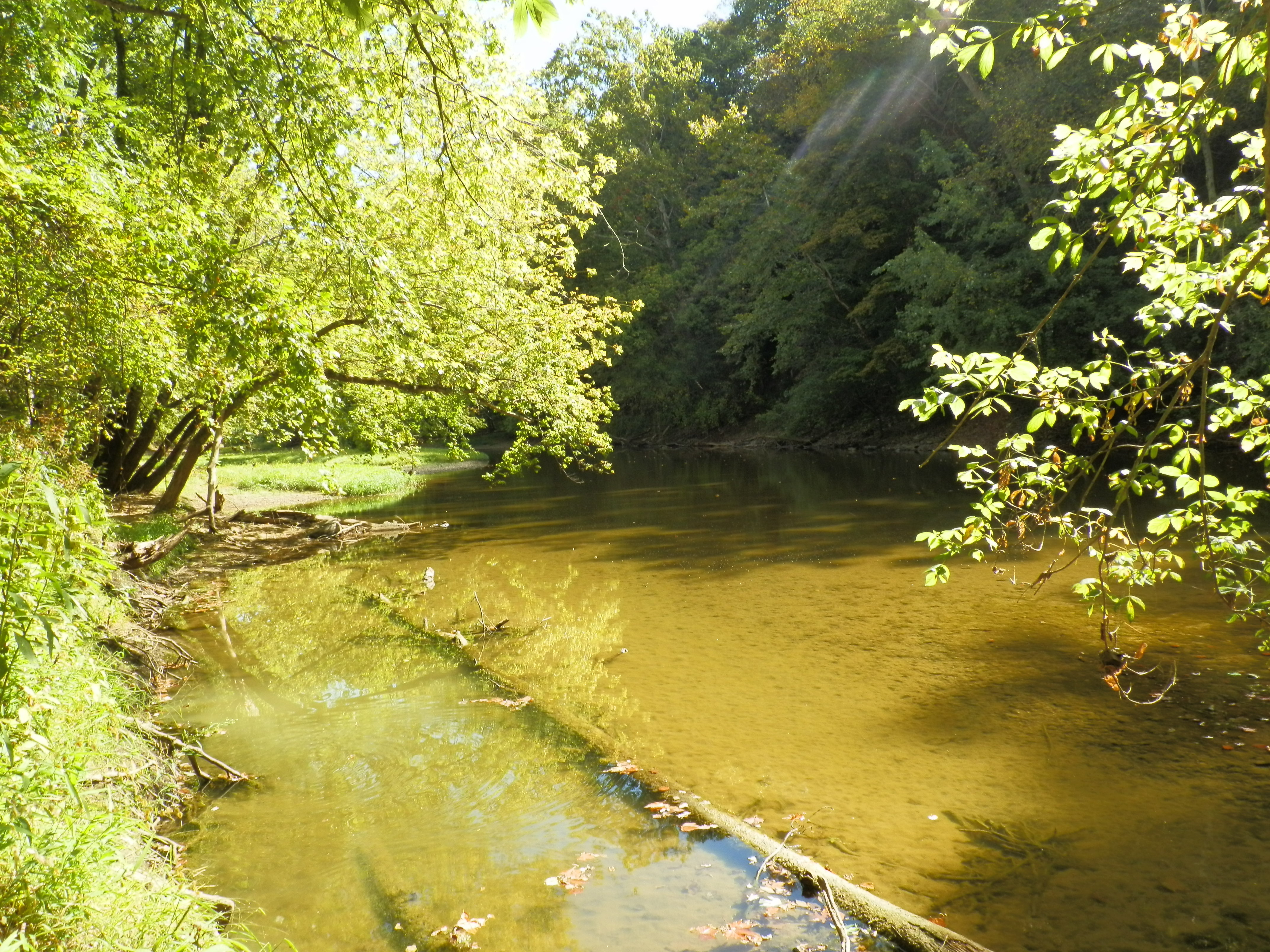
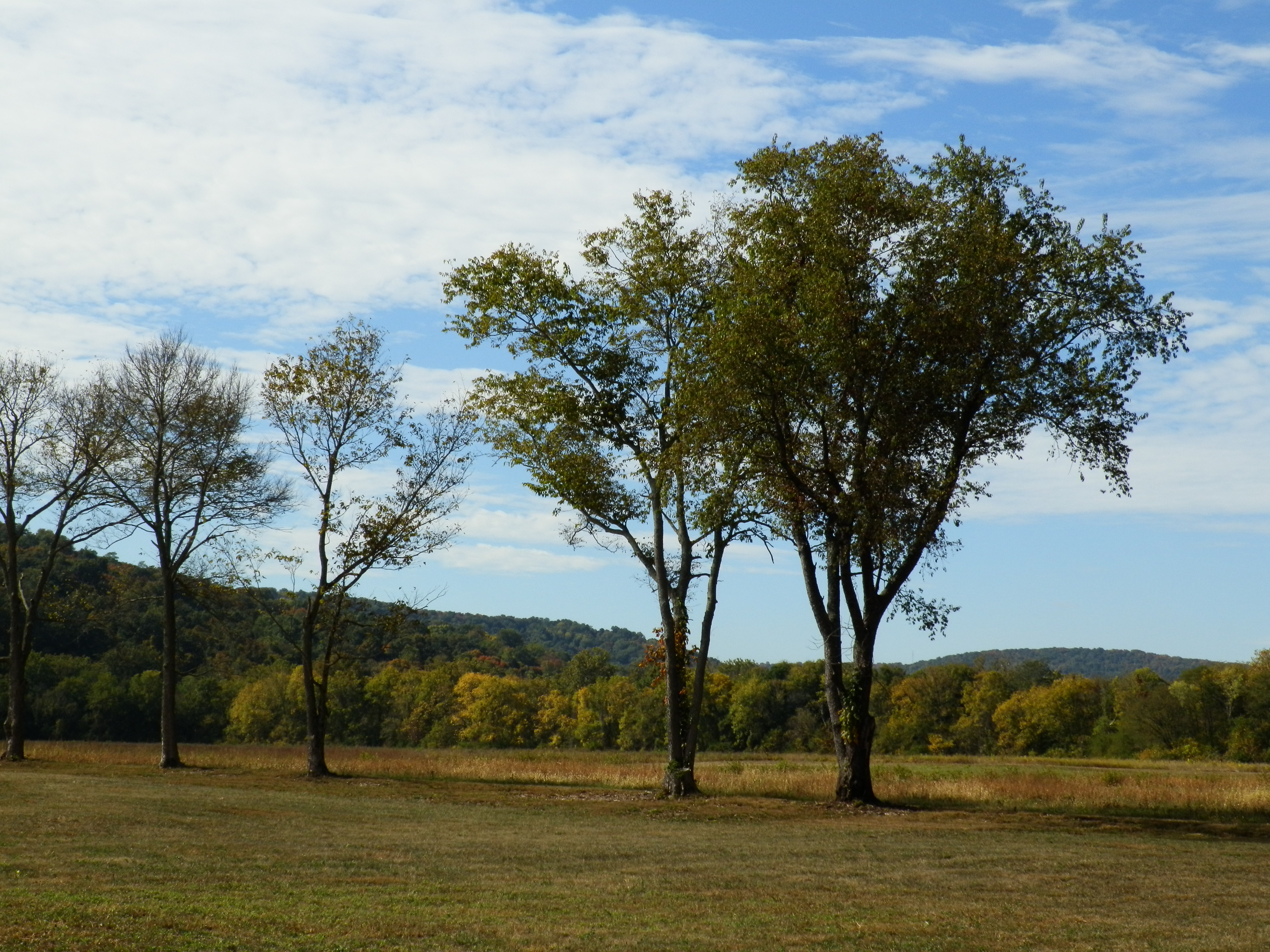
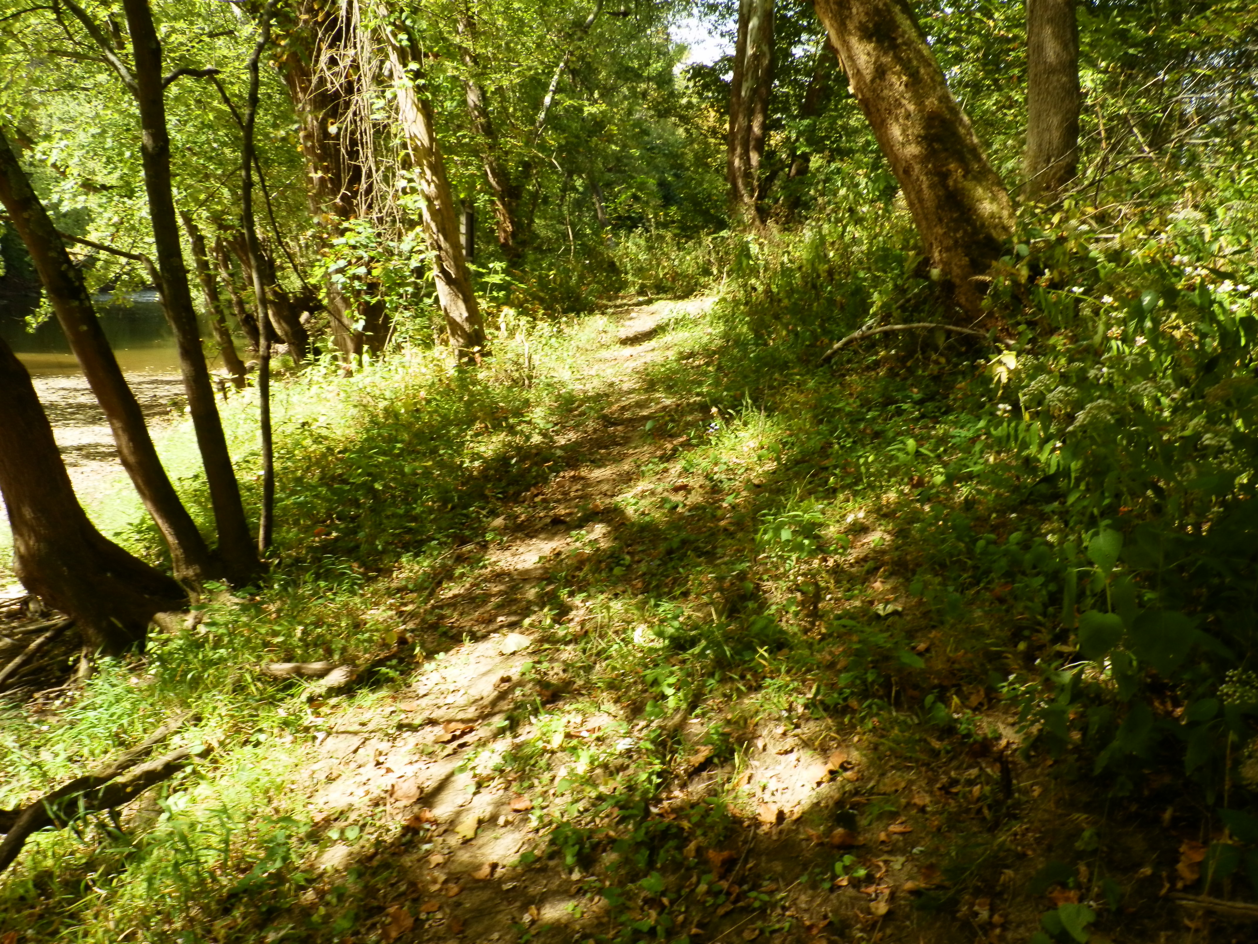
Paint Creek Valley, Looking Northeast — Bainbridge, OH
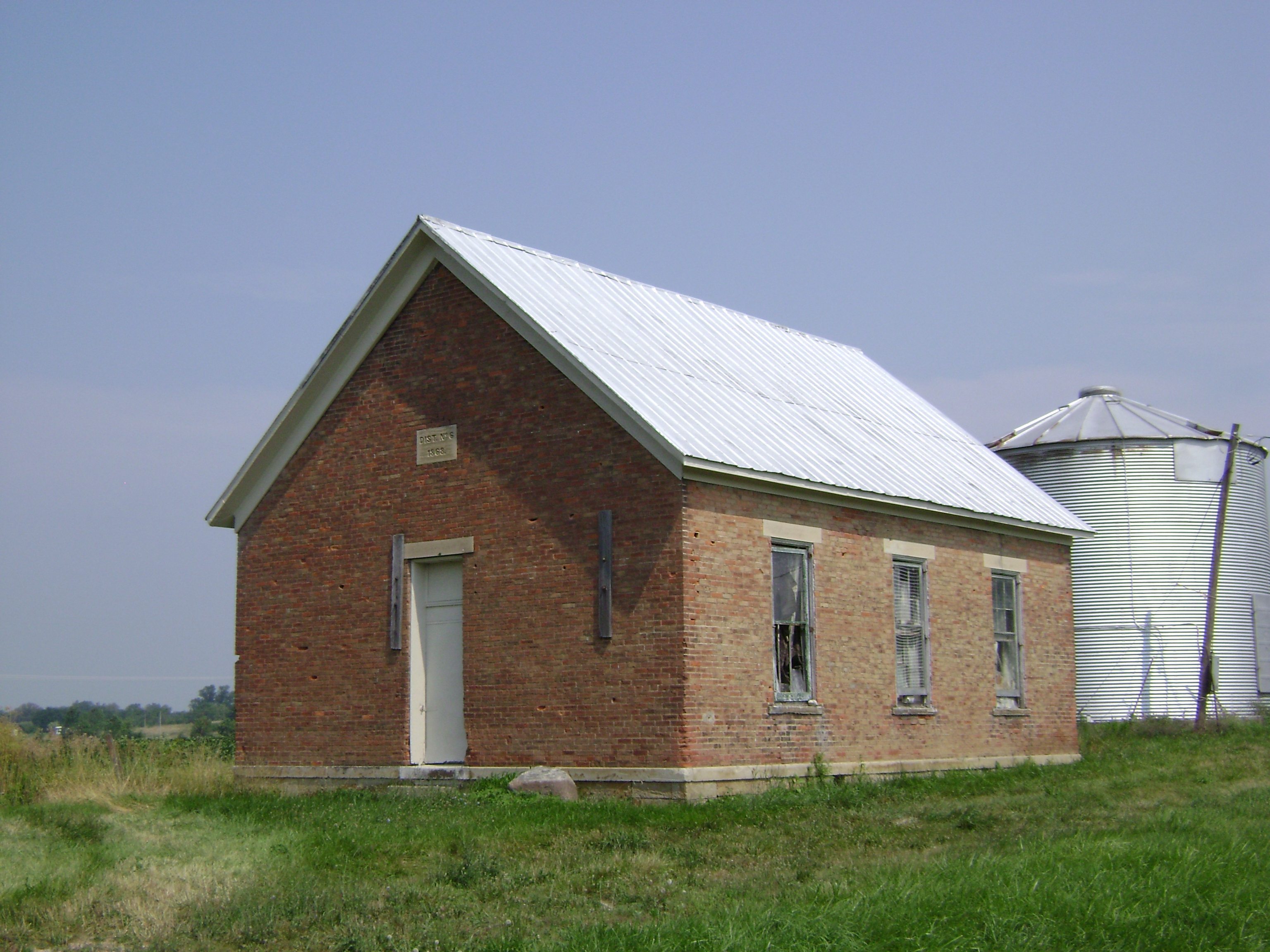
Harper, Ohio- Harper Schoolhouse
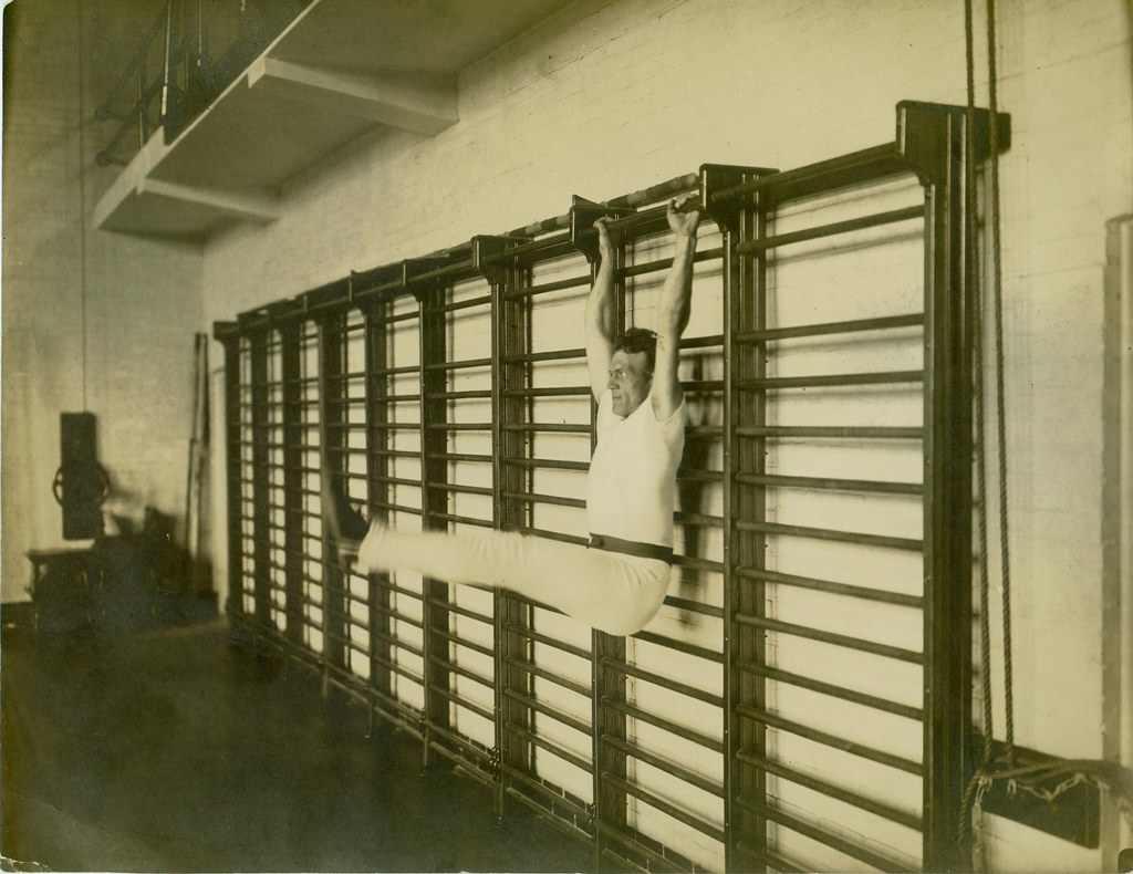
Old school exercise
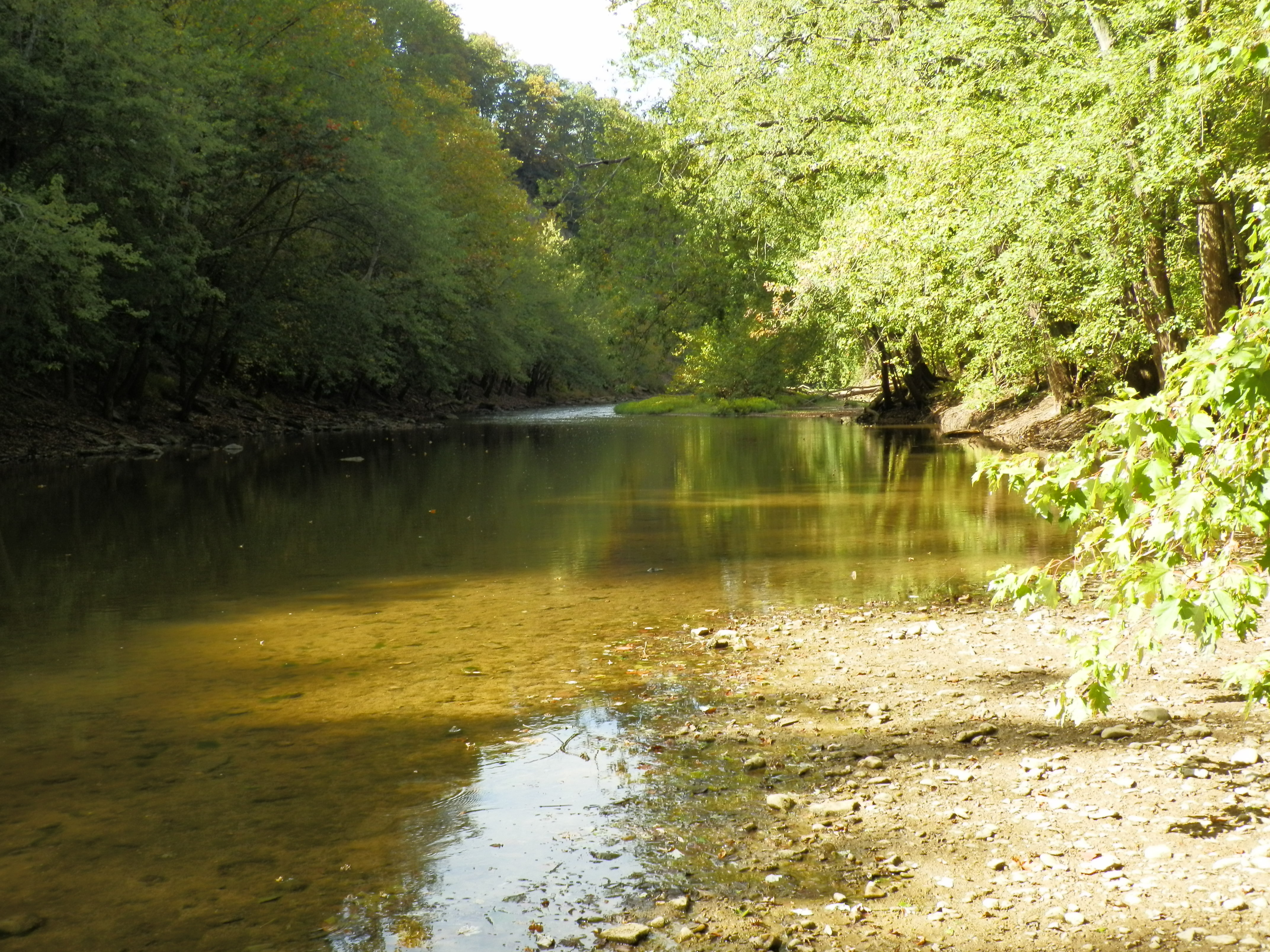
Paint Creek Valley, Looking North — Bainbridge, OH

View From Above
Bainbridge, OH
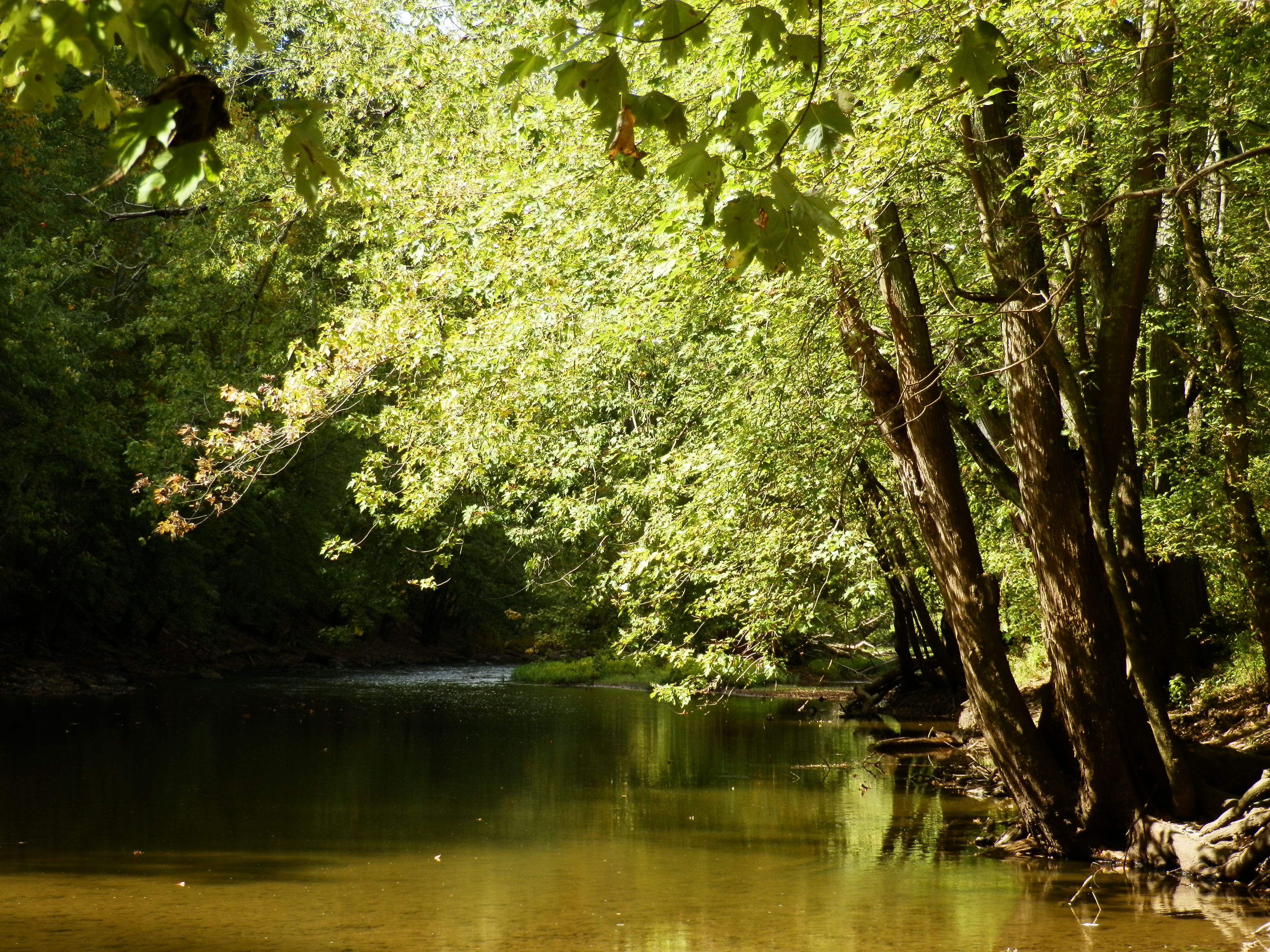
Paint Creek Valley, Looking South — Bainbridge, OH

seim earthworks view

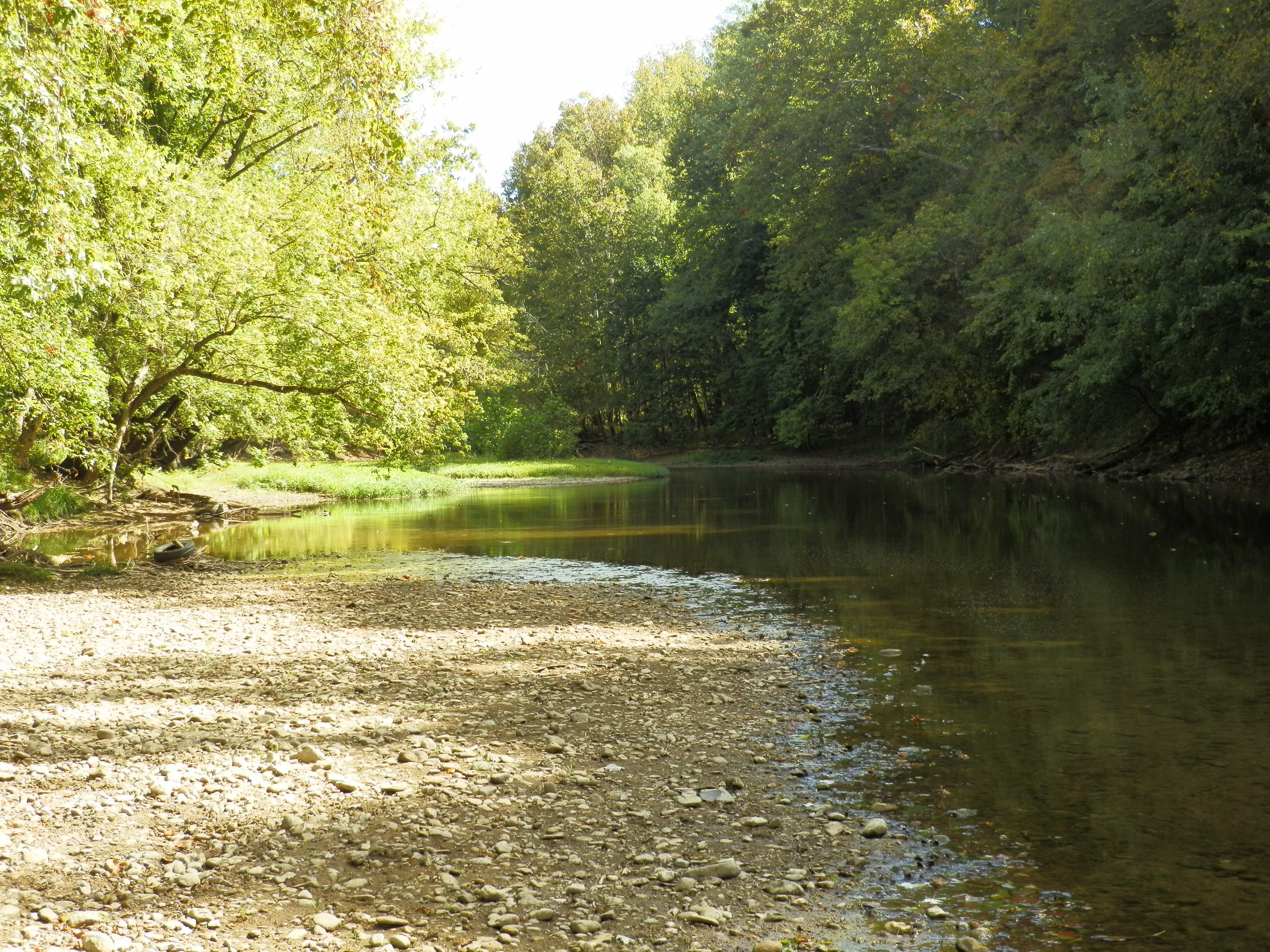
Little Pond at Paint Creek, State Park
Fall Foliage
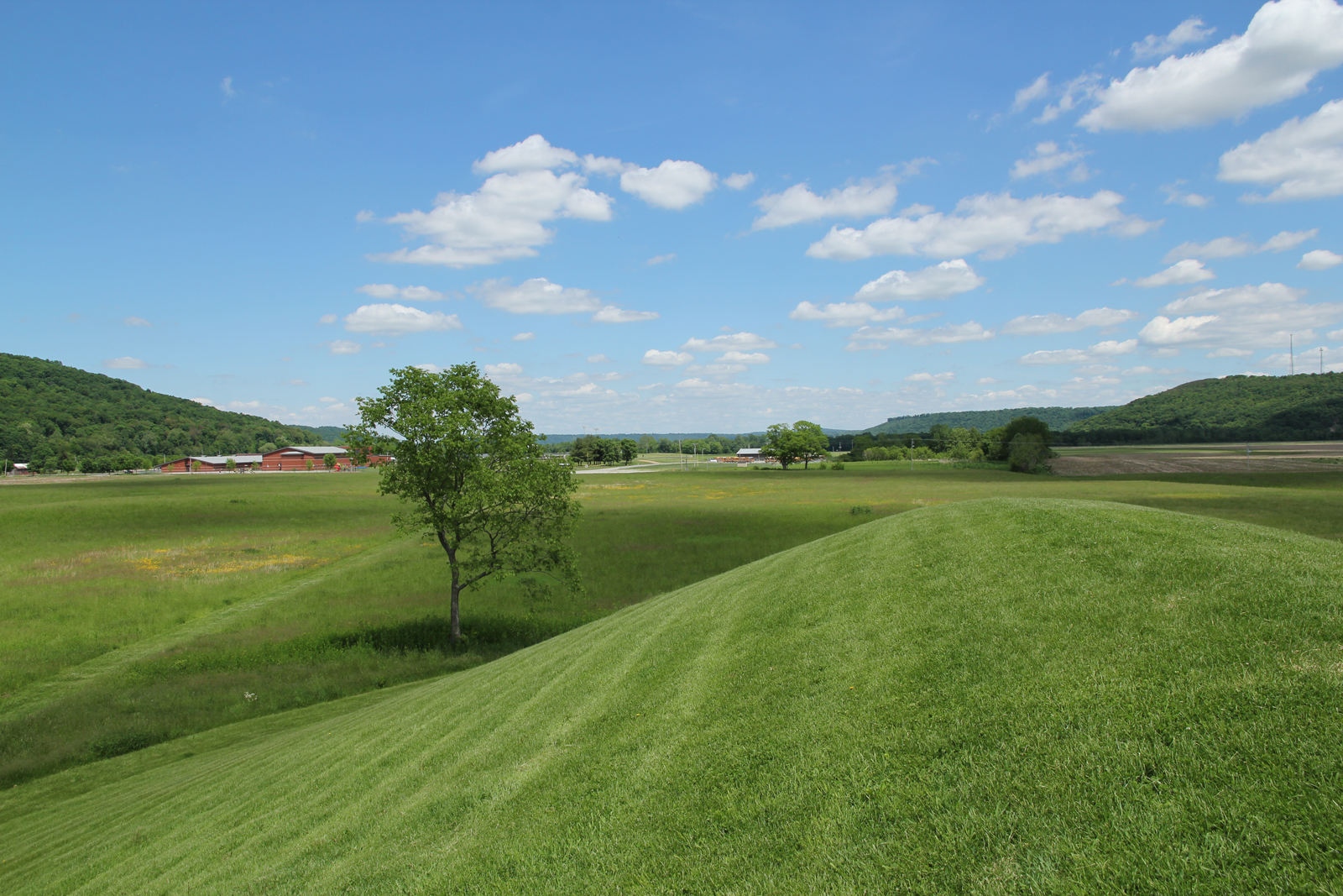
Hopewell Culture NHP, OH
Hopewell Culture NHP, OH
Hopewell Culture NHP, OH

Feb 8
Hopewell Culture NHP, OH
Hopewell Culture NHP, OH
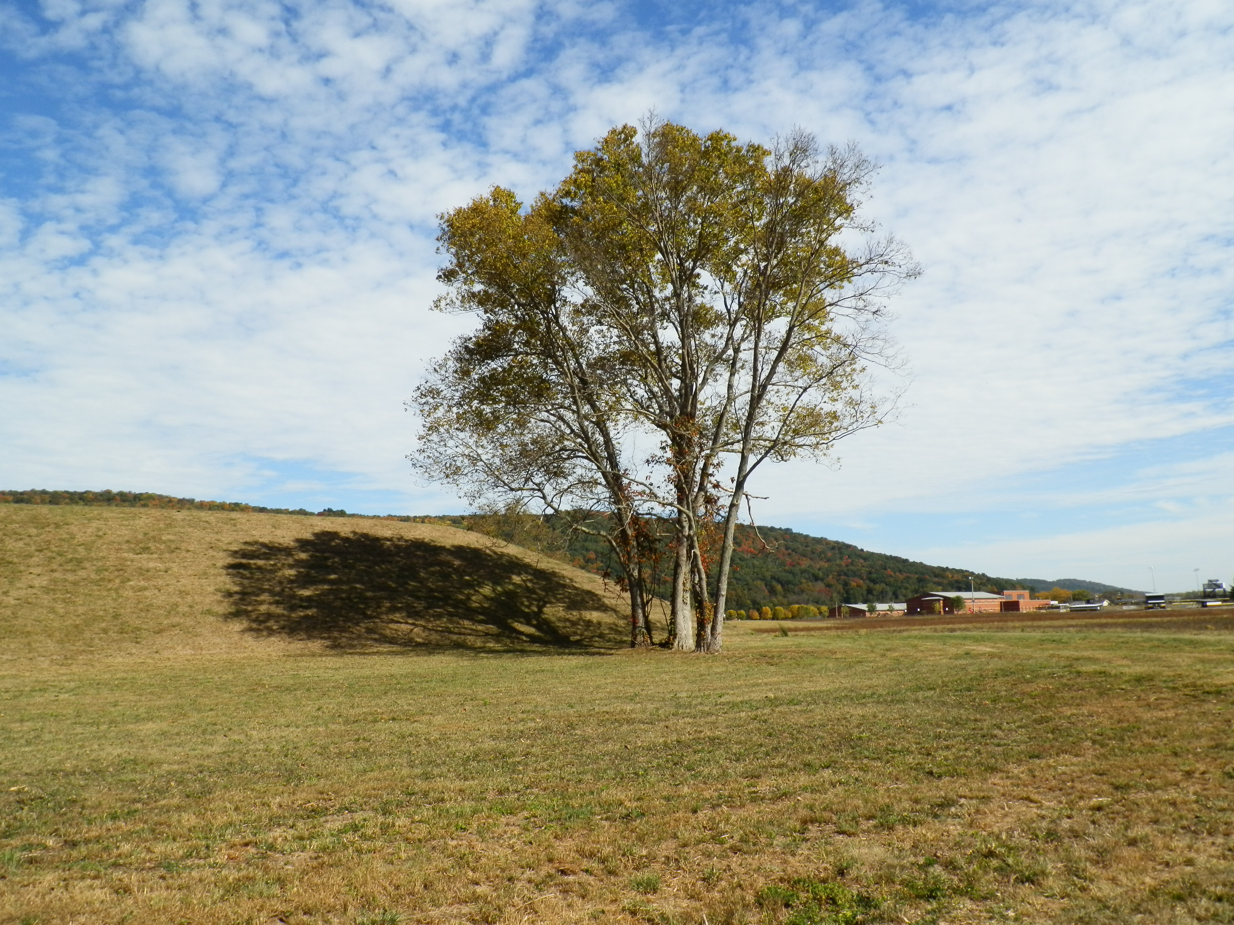
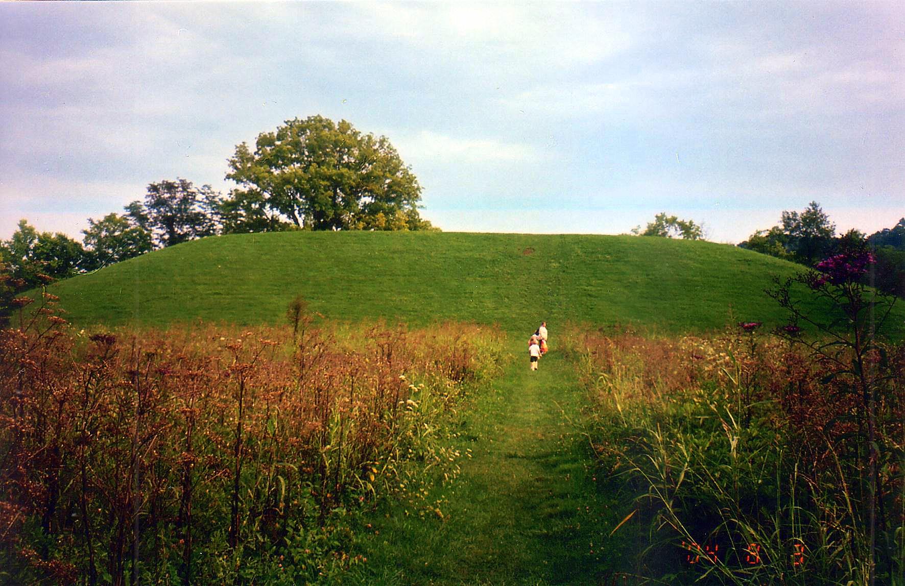
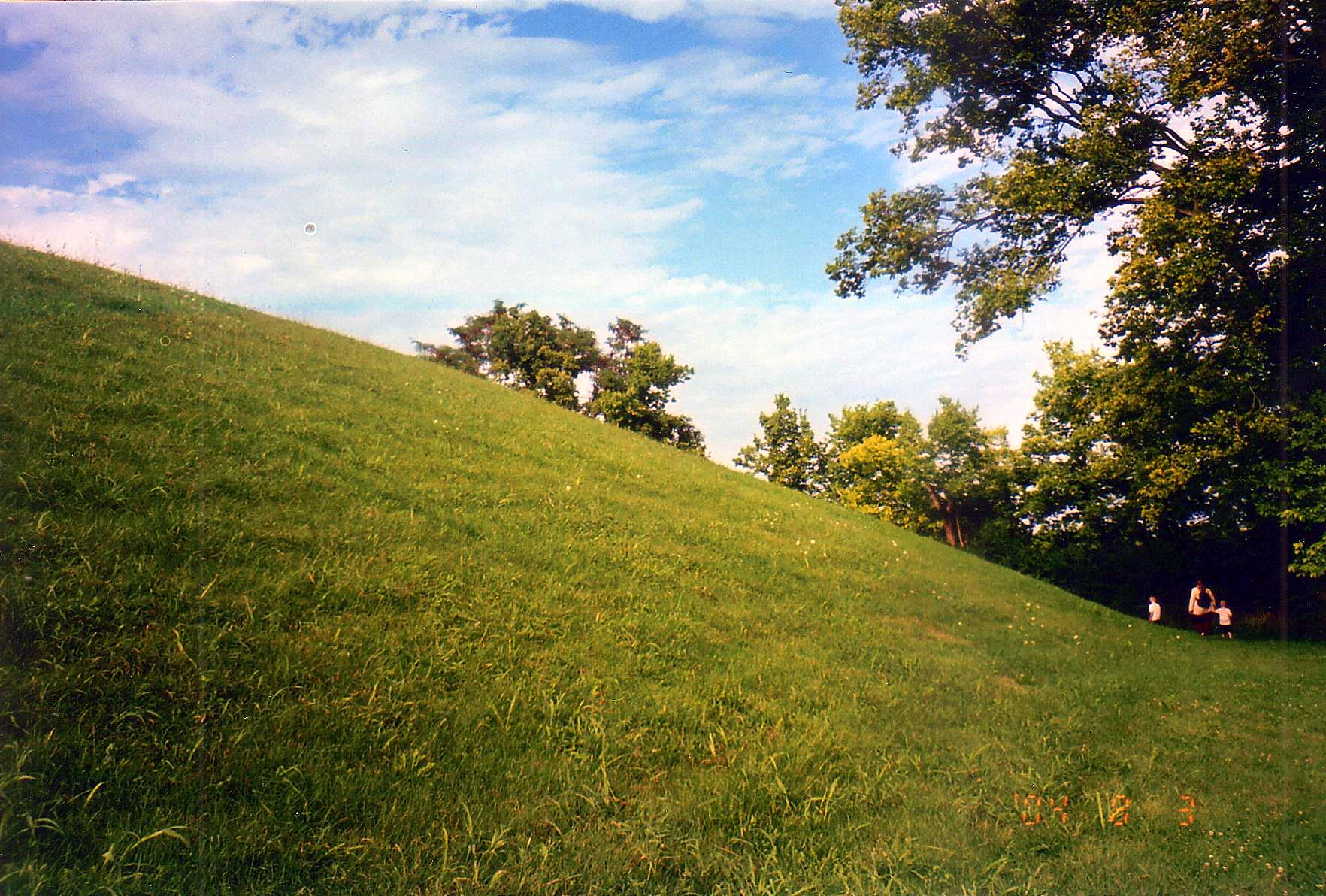
Seip Mound — Bainbridge, OH
Hopewell Culture NHP, OH
Seip Mound — Bainbridge, OH
Hopewell Culture NHP, OH

Eeny Oony Wana! Eeny Oony Wana!
Hopewell Culture NHP, OH
Rear, Travelers' Rest — Greenfield, OH
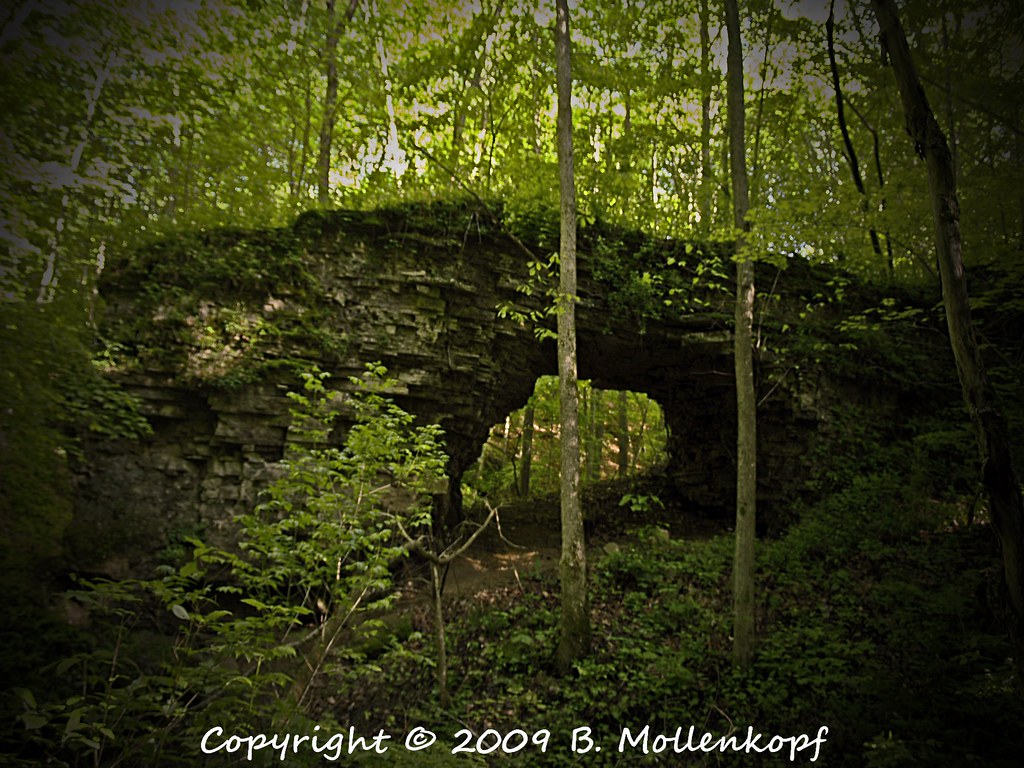
Trimmer Arch
Eeny Oony Wana! Eeny Oony Wana!
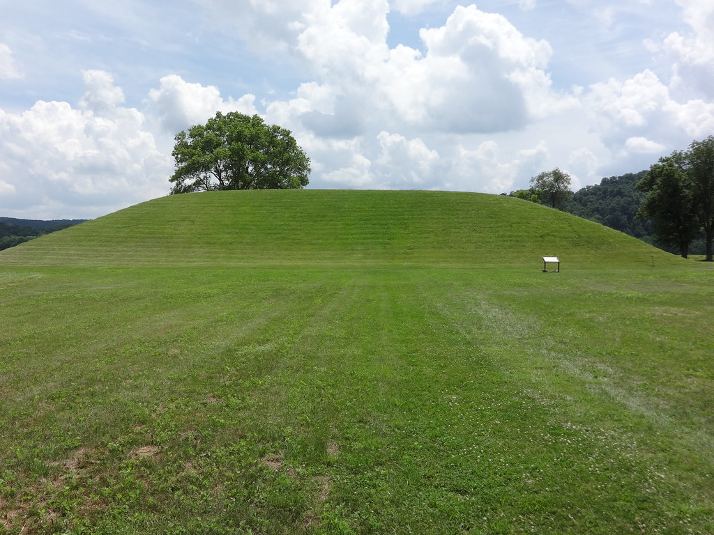
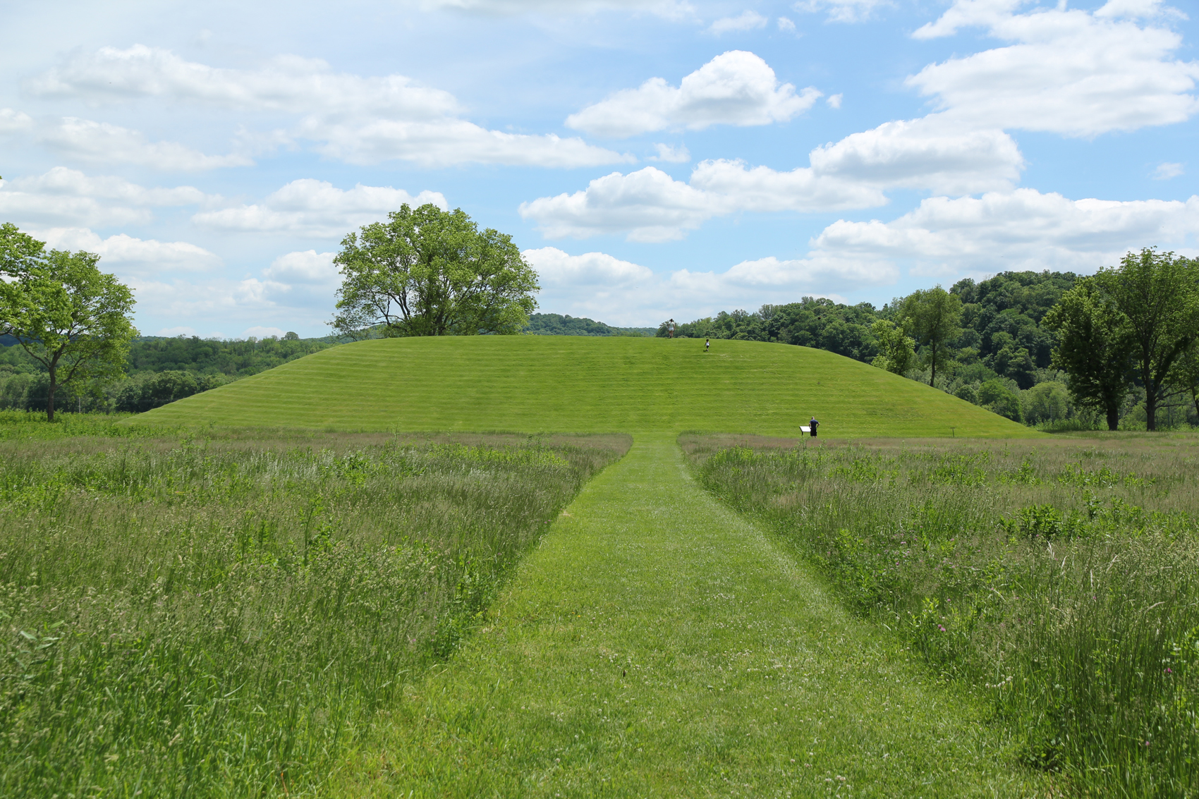
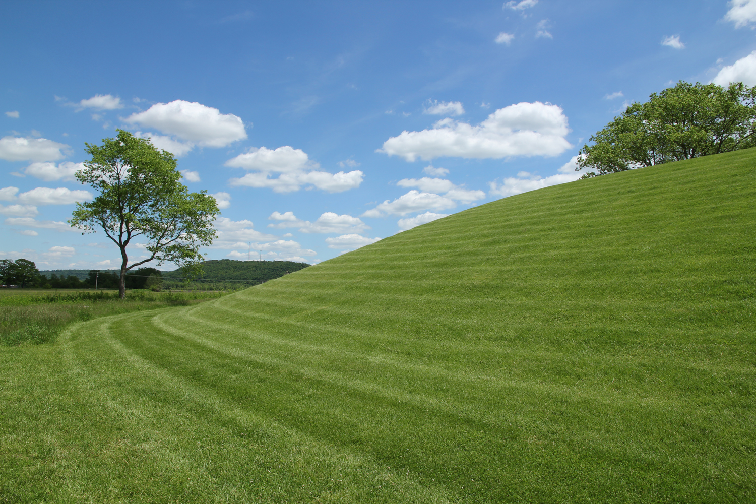
Seip Earthworks
Backside of Seip Mound
Topographic Map of Rapid Forge Rd, Bainbridge, OH, USA
Find elevation by address:

Places near Rapid Forge Rd, Bainbridge, OH, USA:
5020 Rapid Forge Rd
5274 Rapid Forge Rd
394 Chambliss Rd
394 Chambliss Rd
2022 Rapid Forge Rd
2022 Rapid Forge Rd
Paint Creek Lake
10415 Winegar Rd
Greenfield
13608 Hillcrest Dr
Madison Township
12649 Lovers Ln
S R, Greenfield, OH, USA
Paint Township
10491 Pausch Rd
Highland County
S R, Leesburg, OH, USA
Fairfield Township
9196 Black Rabbit Rd
Leesburg
Recent Searches:
- Elevation of Warwick, RI, USA
- Elevation of Fern Rd, Whitmore, CA, USA
- Elevation of 62 Abbey St, Marshfield, MA, USA
- Elevation of Fernwood, Bradenton, FL, USA
- Elevation of Felindre, Swansea SA5 7LU, UK
- Elevation of Leyte Industrial Development Estate, Isabel, Leyte, Philippines
- Elevation of W Granada St, Tampa, FL, USA
- Elevation of Pykes Down, Ivybridge PL21 0BY, UK
- Elevation of Jalan Senandin, Lutong, Miri, Sarawak, Malaysia
- Elevation of Bilohirs'k