Elevation of Ranmamaikot, Nepal
Location: Nepal > Western Region > Karnali >
Longitude: 82.9501558
Latitude: 28.7226576
Elevation: 3967m / 13015feet
Barometric Pressure: 62KPa
Elevation Map:
Satellite Map:
Related Photos:

bhola B Thapa

Nepali gangster
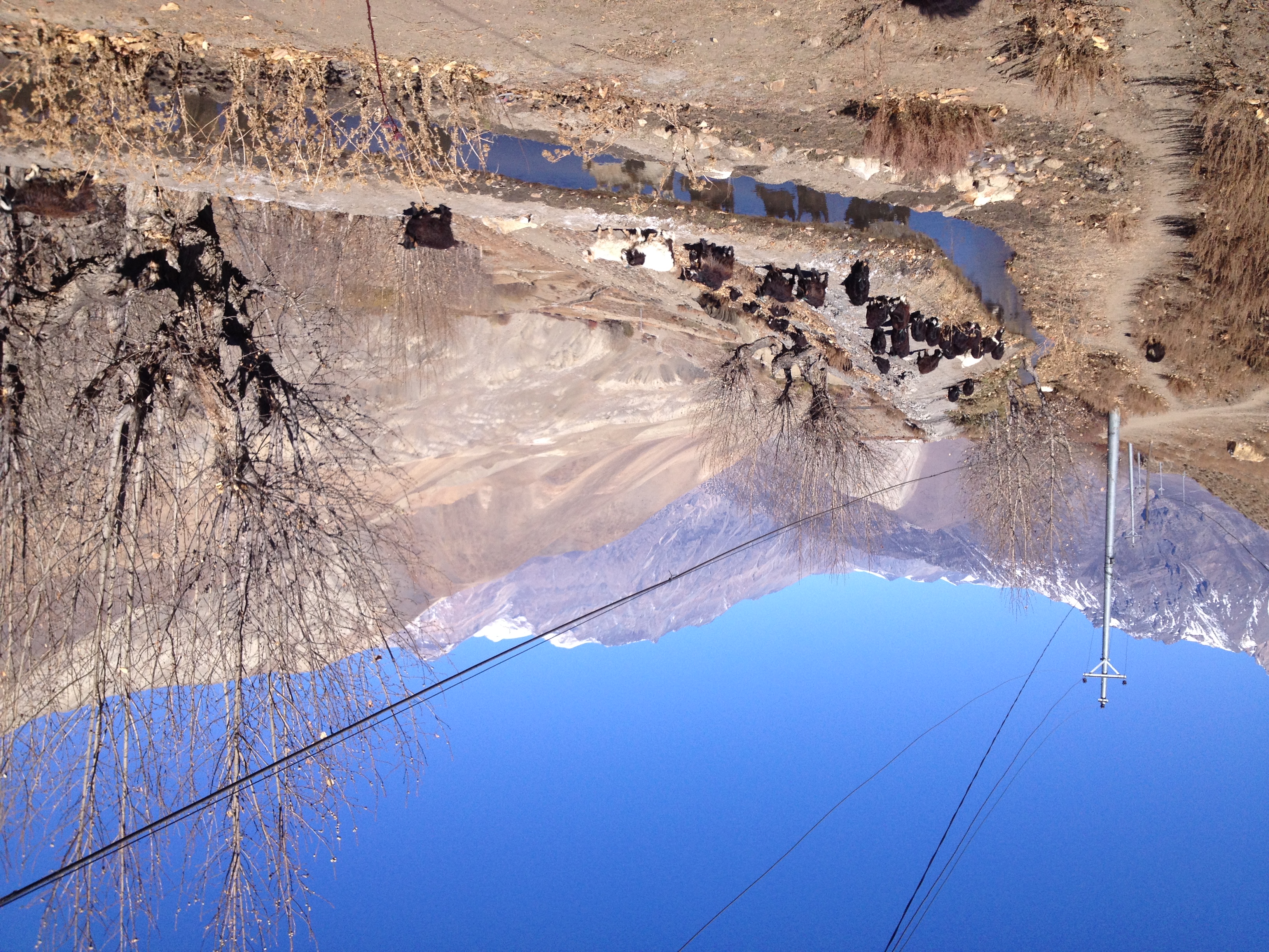
GU_expedice_2013-Nepal184
Topographic Map of Ranmamaikot, Nepal
Find elevation by address:

Places in Ranmamaikot, Nepal:
Places near Ranmamaikot, Nepal:
Dunai
Taksera
Jufal
Juphal Airport (vndp)
Juphal
Tripurakot
Rukumkot
Likhu
Musikot
Pahada
Ringmo
Rolpa
Shey Phoksundo Lake
Phoksundo
Banfikot
Rukum
Damri
Bhalakcha
Rukum Salle Airport
Khara
Recent Searches:
- Elevation of Corso Fratelli Cairoli, 35, Macerata MC, Italy
- Elevation of Tallevast Rd, Sarasota, FL, USA
- Elevation of 4th St E, Sonoma, CA, USA
- Elevation of Black Hollow Rd, Pennsdale, PA, USA
- Elevation of Oakland Ave, Williamsport, PA, USA
- Elevation of Pedrógão Grande, Portugal
- Elevation of Klee Dr, Martinsburg, WV, USA
- Elevation of Via Roma, Pieranica CR, Italy
- Elevation of Tavkvetili Mountain, Georgia
- Elevation of Hartfords Bluff Cir, Mt Pleasant, SC, USA