Elevation of Ranikhet, Uttarakhand, India
Location: India > Uttarakhand > Almora >
Longitude: 79.4321825
Latitude: 29.6433615
Elevation: -10000m / -32808feet
Barometric Pressure: 295KPa
Elevation Map:
Satellite Map:
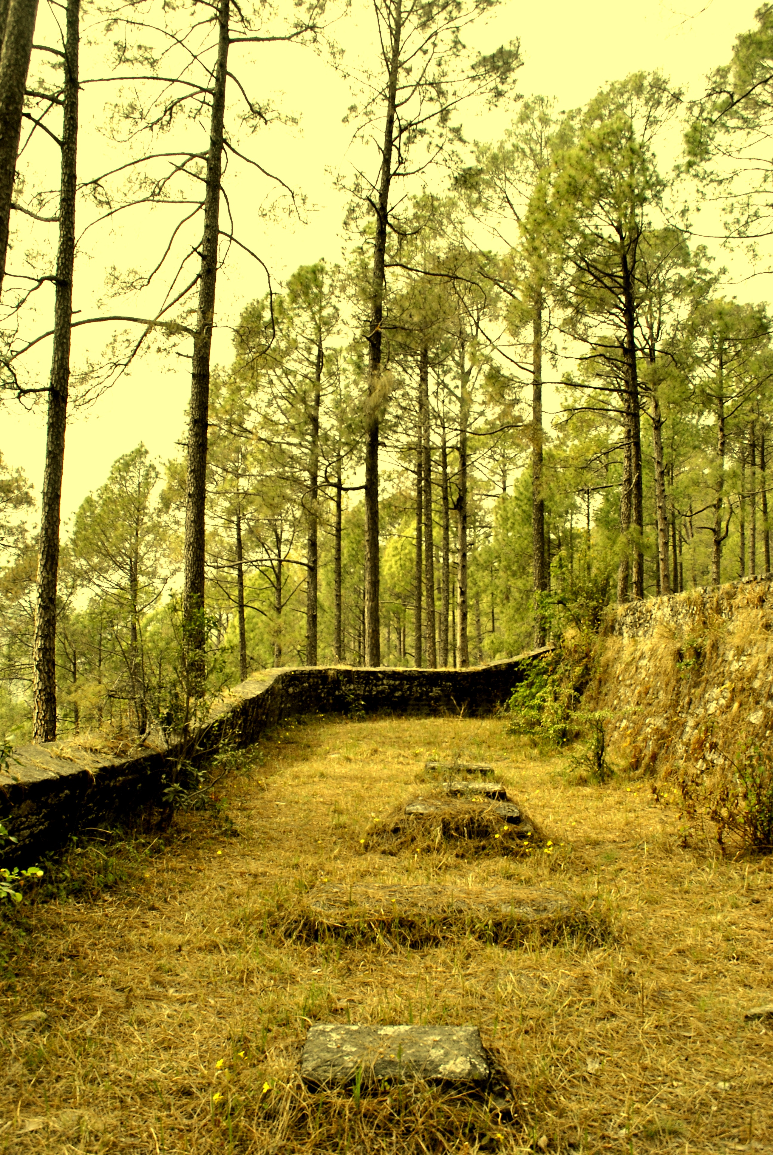
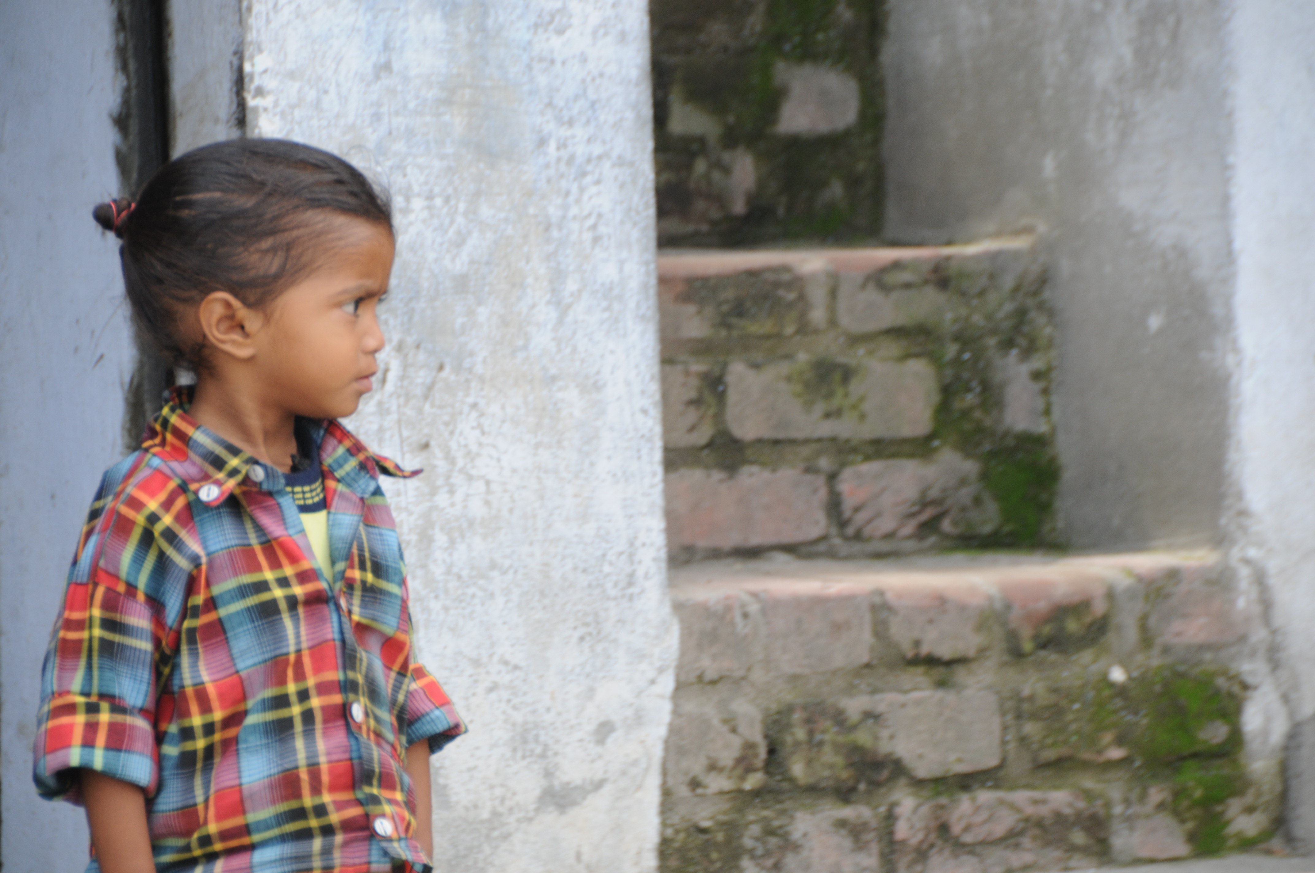
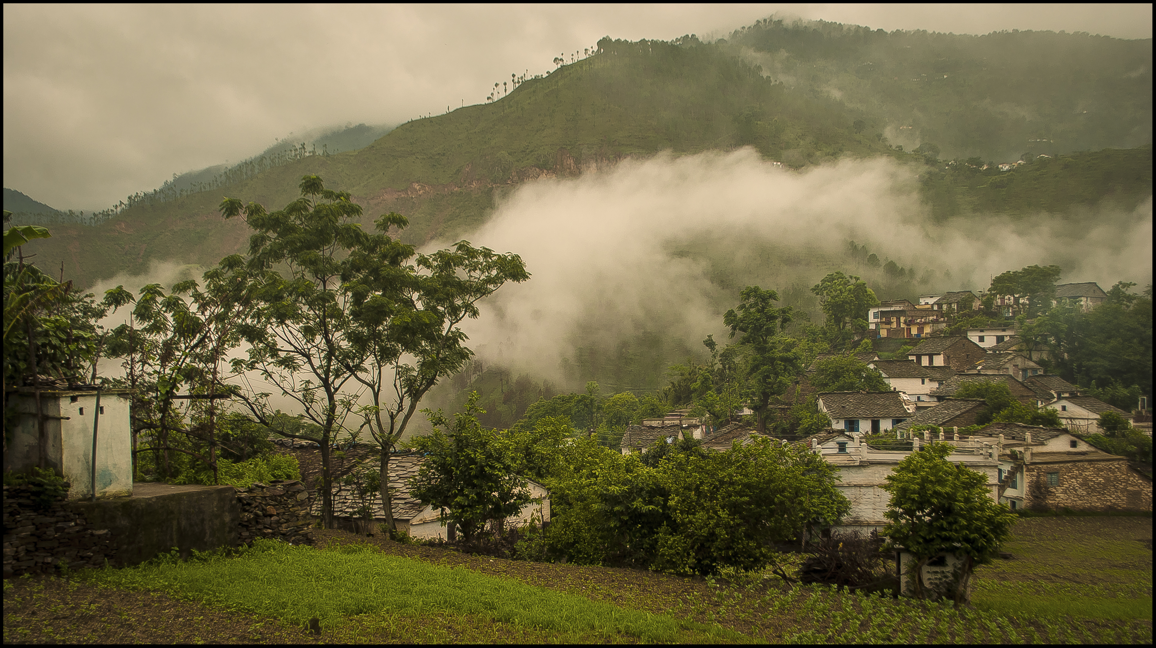
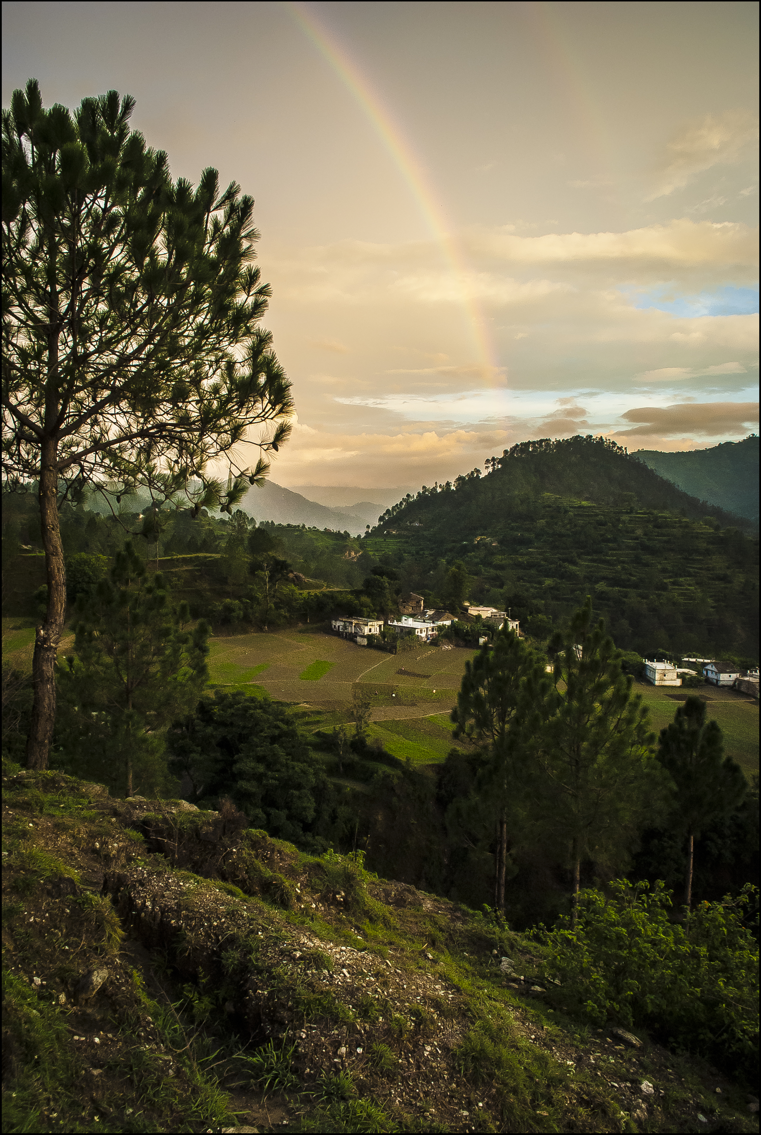
Related Photos:

cow run #2

pose-d
in between

psy-ch

in gentle breeze

of exits #1

grass #1

bunch-ed

a crawl
CSP_3112.JPG

first glimpse

Rani Lake Ranikhet

arched but not

cow run #1

grass #2

thin lines

bungee?

sick and thorn

of death they sprout

of pink

of exits #2

Before the dawn
of grey parades...

Kosi River

of monsoonal parchments…

of morning veils...
double rolls...

of tree skips...

Chaubatia Garden Ranikhet

rest-er

up low

Himalayan Range

Himalayan Mountains

Himalayan Range
Topographic Map of Ranikhet, Uttarakhand, India
Find elevation by address:

Places near Ranikhet, Uttarakhand, India:
Majkhali
Exalter Himalaya View
Betalghat
Ghoria Halson
Badrinath Mandir
Dwarahat
Dhamas
Dunagiri Road
Dunagiri Road
Malla Surana
Dunagiri Road
Dahal
Call Of The Wild Resort
Seti Majhgaon
Dunagiri Retreat
Yogoda Satsang Society
Someshwar
Almora
Almora
Manila Devi Temple
Recent Searches:
- Elevation of Orangevale, CA, USA
- Elevation of Doe Cir, Clinton, OH, USA
- Elevation of Narhe, Pune, Maharashtra, India
- Elevation of Martins Mill Ct, Eagle Rock, NC, USA
- Elevation of Kippen, Stirling FK8, UK
- Elevation of Sieveringer Straße, Sieveringer Str., Wien, Austria
- Elevation of Bratskaya Ulitsa, 24, Kurgan, Kurganskaya oblast', Russia
- Elevation of Paradisvegen, Biri, Norway
- Elevation of Crystal Cir, Birmingham, AL, USA
- Elevation of N Railroad Ave, West Palm Beach, FL, USA