Elevation of Rang de la Rivière N, Saint-Roch-Ouest, QC J0K 3H0, Canada
Location: Canada > Québec > Montcalm Regional County Municipality >
Longitude: -73.653619
Latitude: 45.8614469
Elevation: 50m / 164feet
Barometric Pressure: 101KPa
Elevation Map:
Satellite Map:
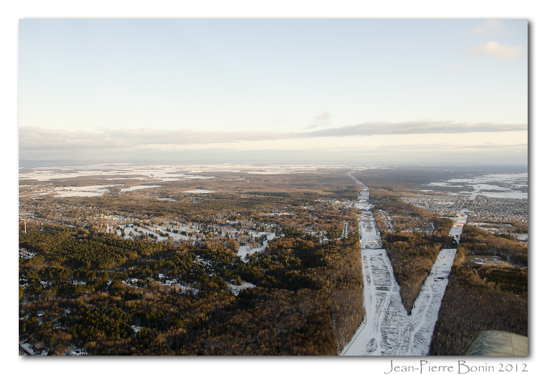
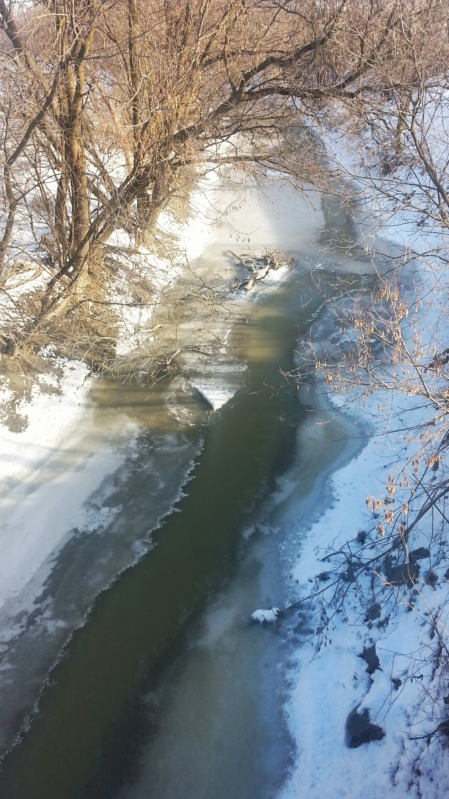
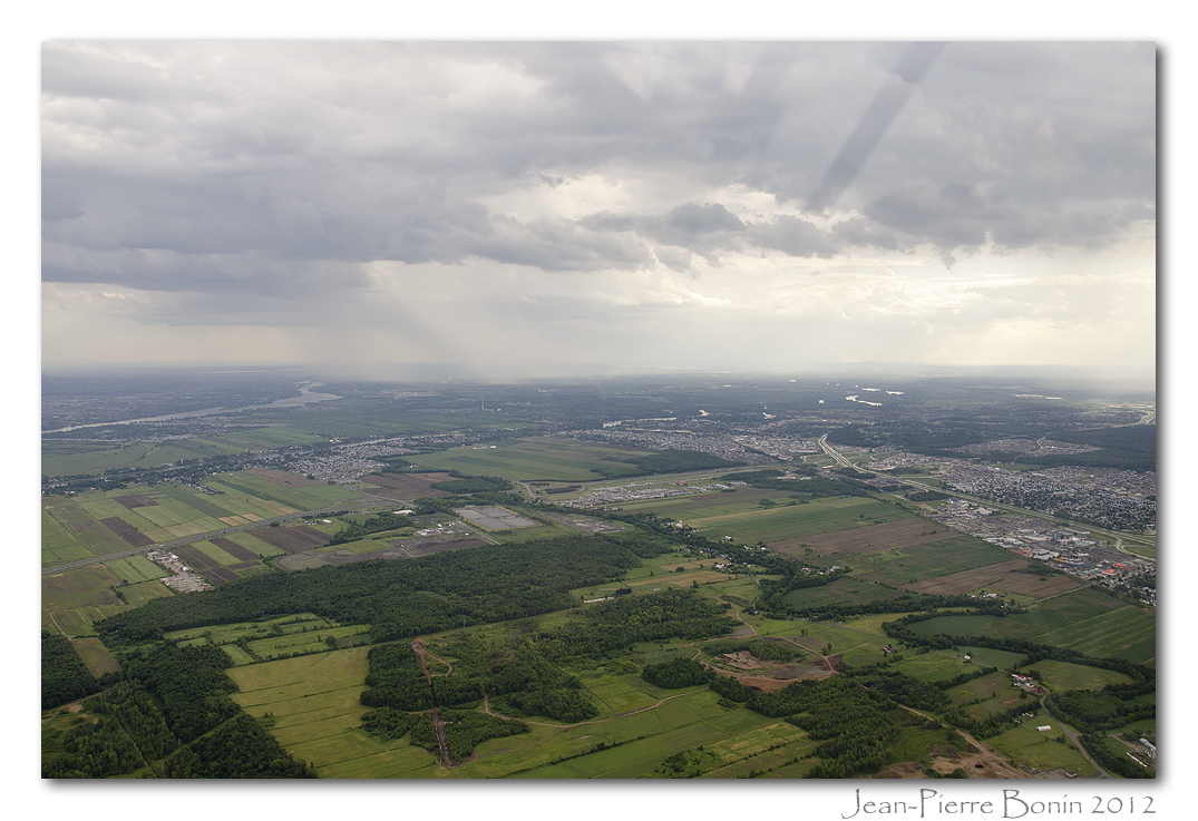
Related Photos:
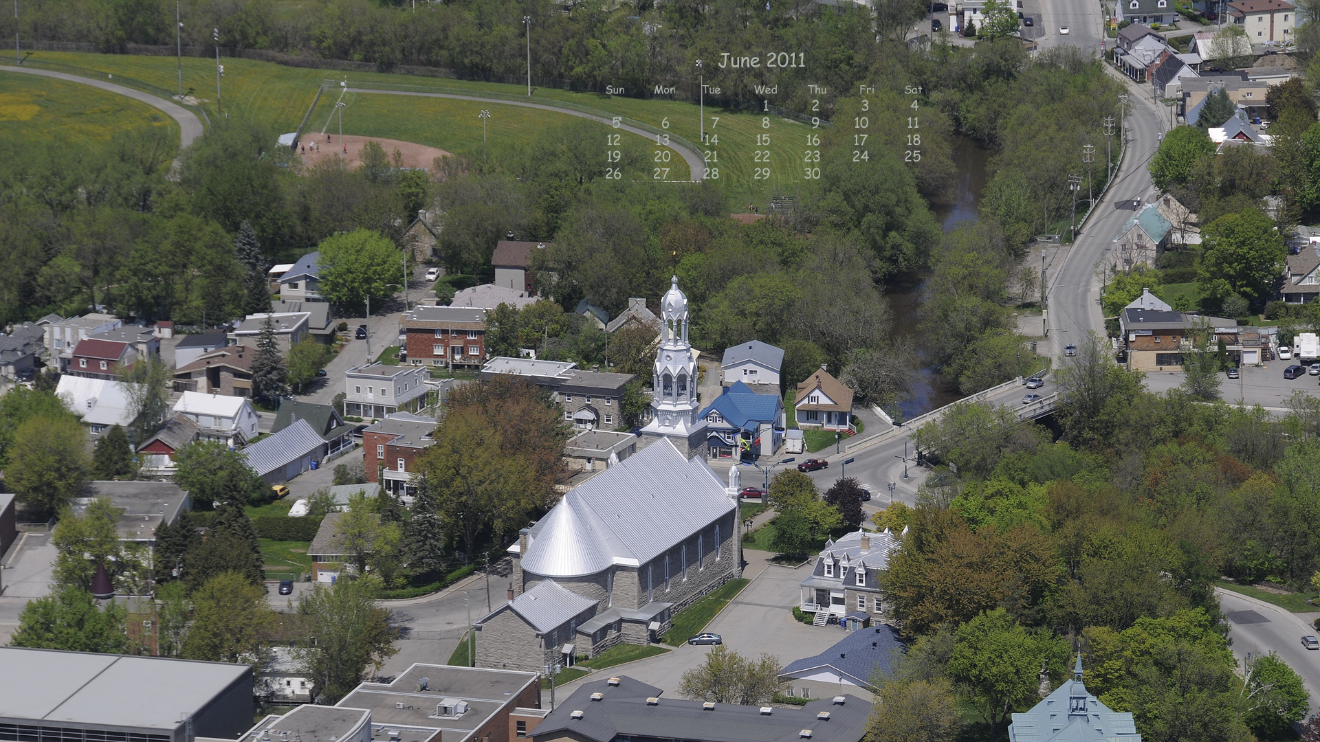
sun-sat 1920x1080 village

Sweet sunset

Damaged Barn
Abandoned Chapel
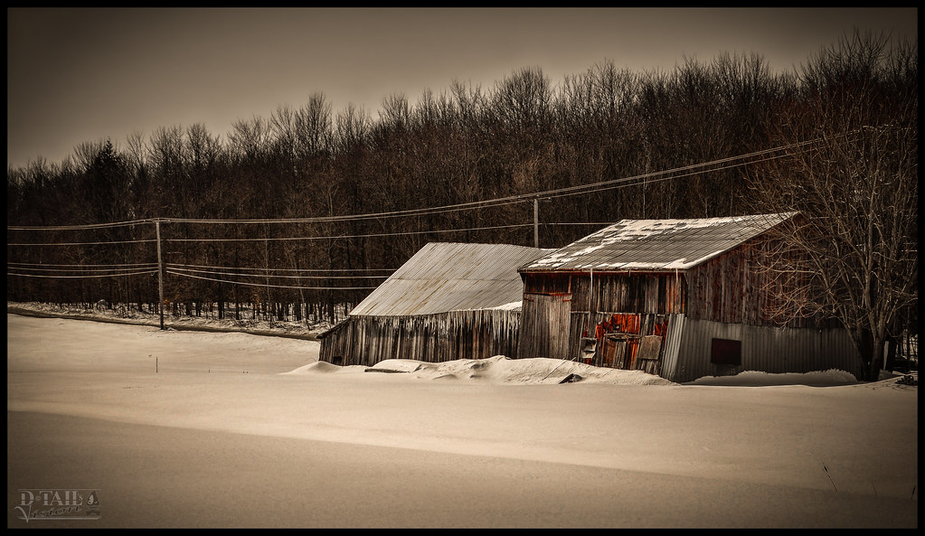
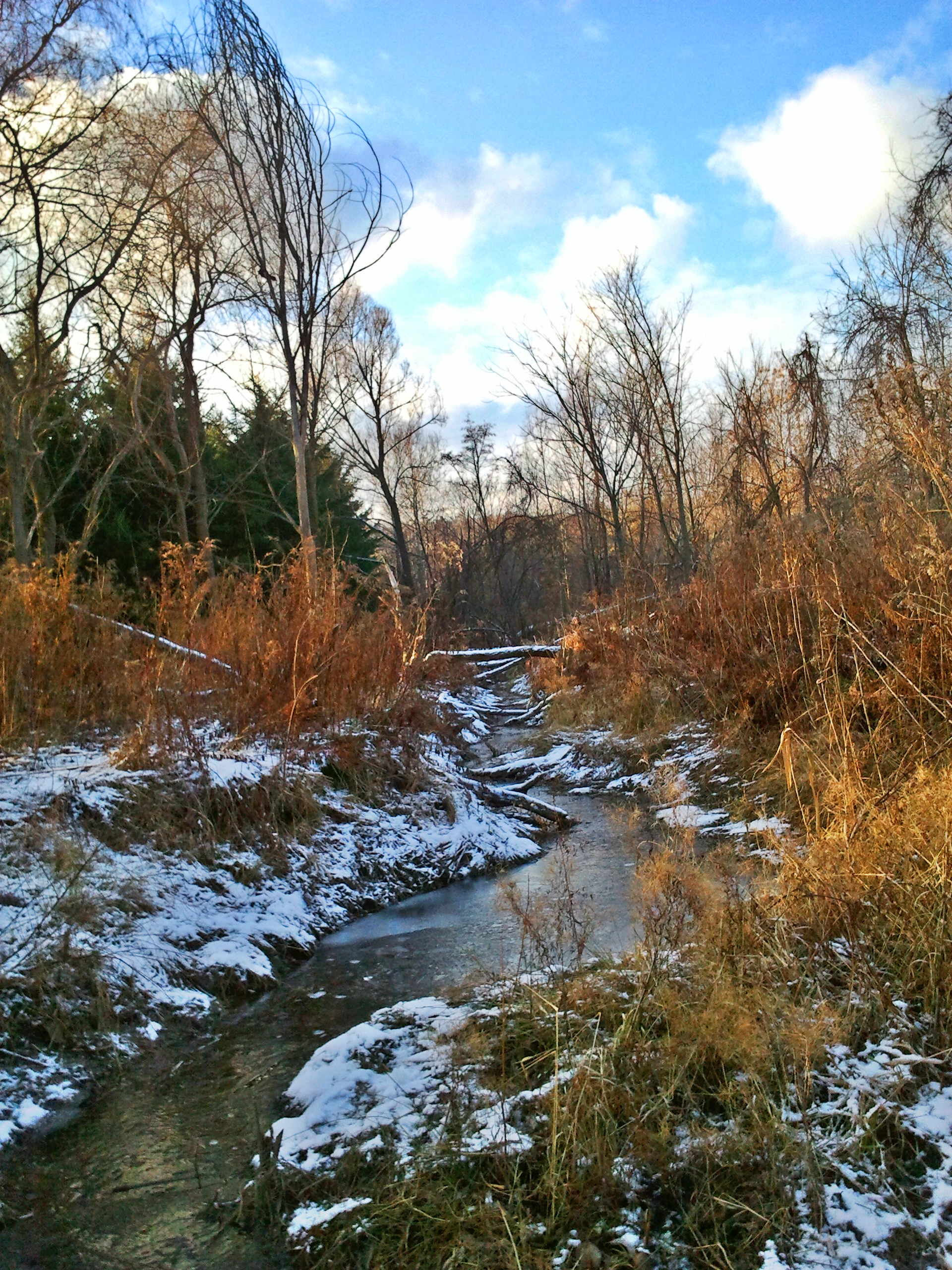
Frozen Barn

Traffic Sunday

Sunrise & Tree
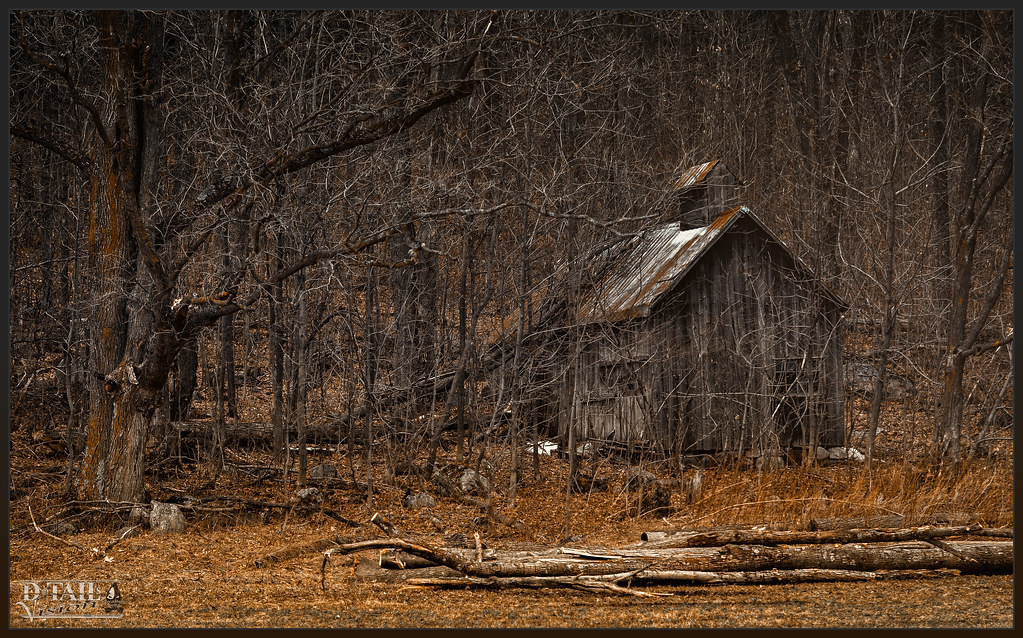
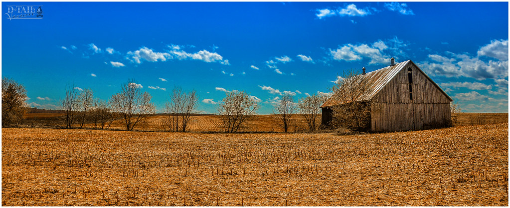
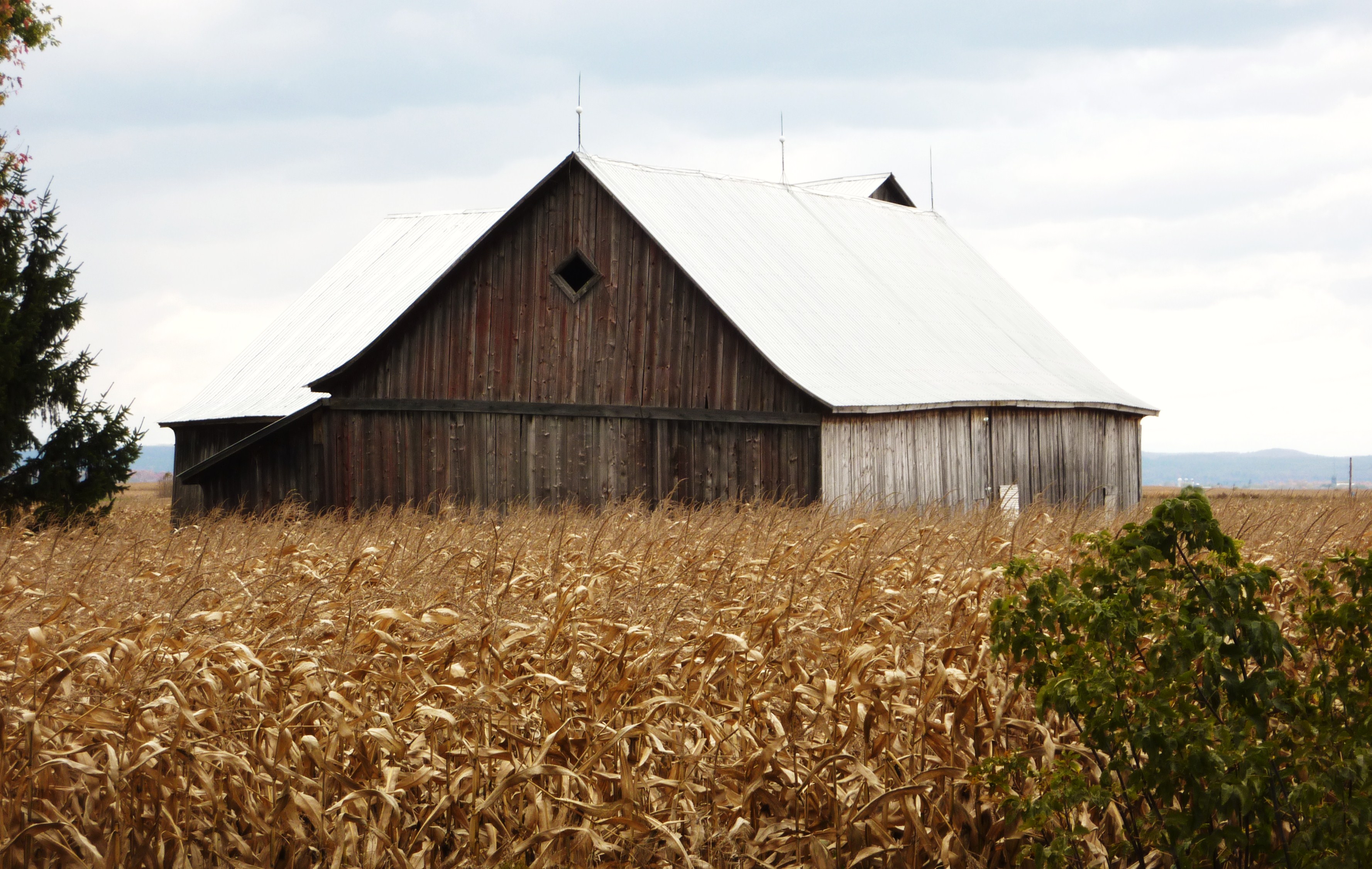
Old Barn
Hot and Dry
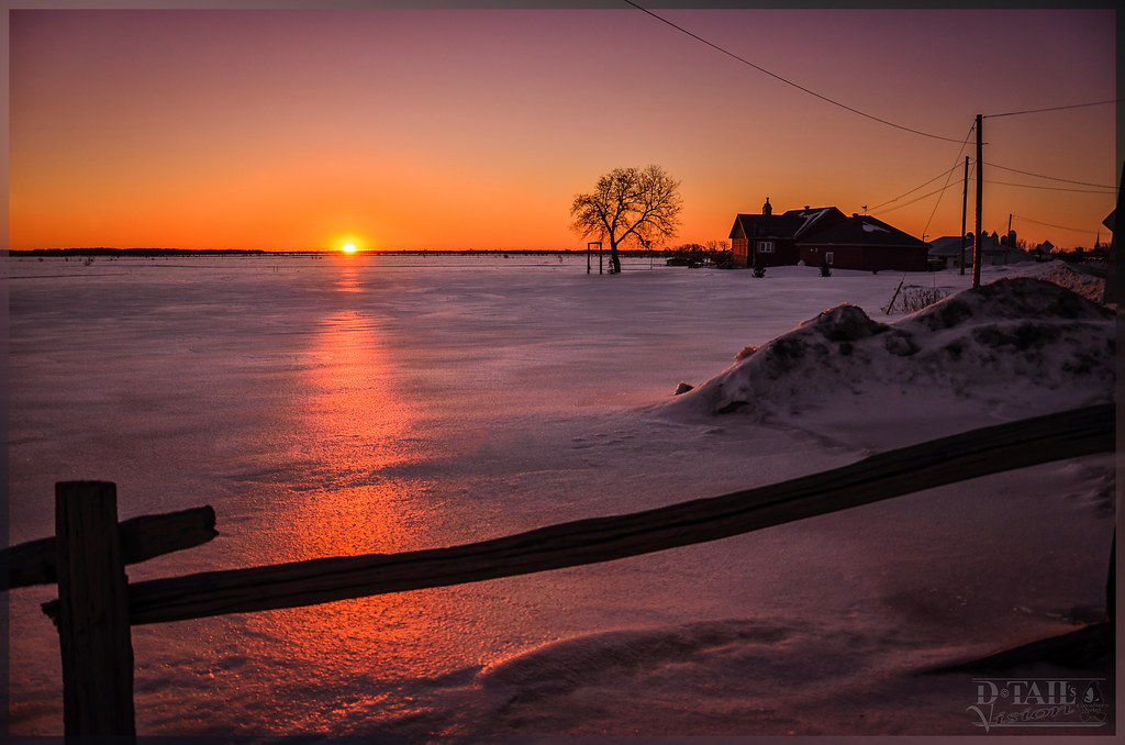
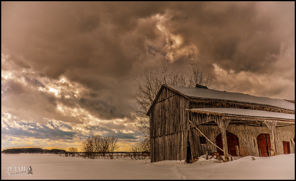
Winter Sunrise
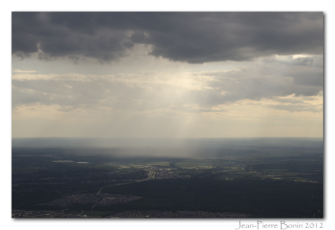
Sky's the limit
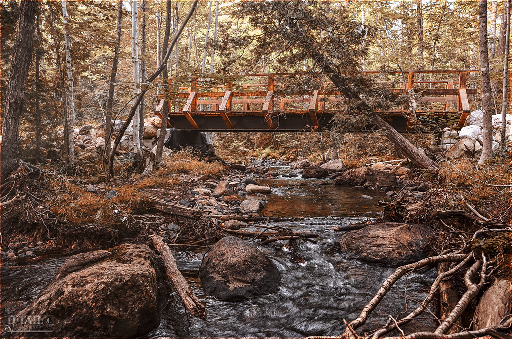
Nature Reserve ''Beaureal'' (Waterfall Sector)
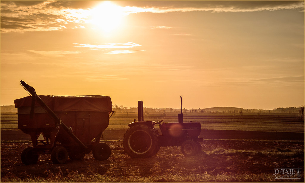
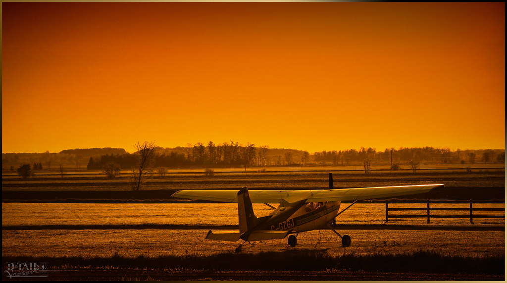
Farmer's morning

Première neige à Saint-Lin
Saint-Roch-de-l'Achigan, 08 oct. 2014. rang de la Rivière Nord.
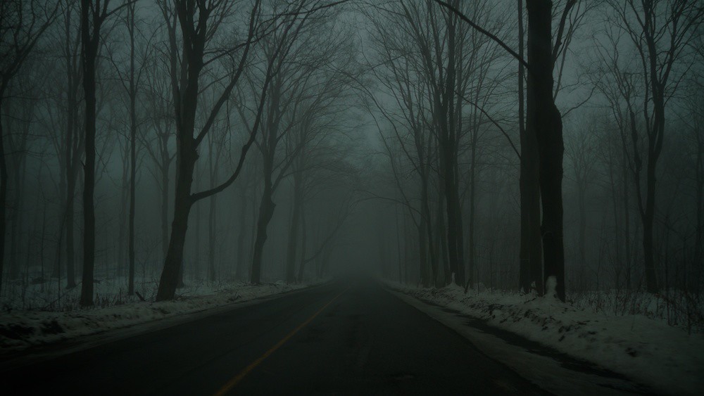
Thanatos Road
DSC_1248 copie
Club de golf Mascouche Golf Club

Champ de choux, St-Lin Laurentides, QC
Mascouche, Québec
Mascouche + CSK3 DSC_1250 copie
Piste cyclabe de Terrebonne
Mascouche, Québec : rivière Charny
Topographic Map of Rang de la Rivière N, Saint-Roch-Ouest, QC J0K 3H0, Canada
Find elevation by address:

Places near Rang de la Rivière N, Saint-Roch-Ouest, QC J0K 3H0, Canada:
1248 Chemin De La Côte Georges
1248 Chemin De La Côte Georges
Mascouche
Saint-lin-laurentides
Rue Brochu, Terrebonne, QC J7M 2C1, Canada
Les Moulins Regional County Municipality
Revetex Inc
7125 Rue Fuchsia
Rue De Bruyère
242 Chemin Pincourt
1710 Rue Brompton
La Plaine
400 Pl Du Louvre
17 Avenue Des Pins
1073 Rue De Daine
Rue Daine
Rue de Bromont, Terrebonne, QC J6W 4H9, Canada
1013 Rue De Daine
Rue De Monceaux
L'Épiphanie
Recent Searches:
- Elevation of Leyte Industrial Development Estate, Isabel, Leyte, Philippines
- Elevation of W Granada St, Tampa, FL, USA
- Elevation of Pykes Down, Ivybridge PL21 0BY, UK
- Elevation of Jalan Senandin, Lutong, Miri, Sarawak, Malaysia
- Elevation of Bilohirs'k
- Elevation of 30 Oak Lawn Dr, Barkhamsted, CT, USA
- Elevation of Luther Road, Luther Rd, Auburn, CA, USA
- Elevation of Unnamed Road, Respublika Severnaya Osetiya — Alaniya, Russia
- Elevation of Verkhny Fiagdon, North Ossetia–Alania Republic, Russia
- Elevation of F. Viola Hiway, San Rafael, Bulacan, Philippines