Elevation of Randall Ave, Norwich, NY, USA
Location: United States > New York > Chenango County > Norwich > Norwich >
Longitude: -75.530241
Latitude: 42.5266561
Elevation: 319m / 1047feet
Barometric Pressure: 98KPa
Elevation Map:
Satellite Map:
Related Photos:

Lyon Brook Trestle, April 1959
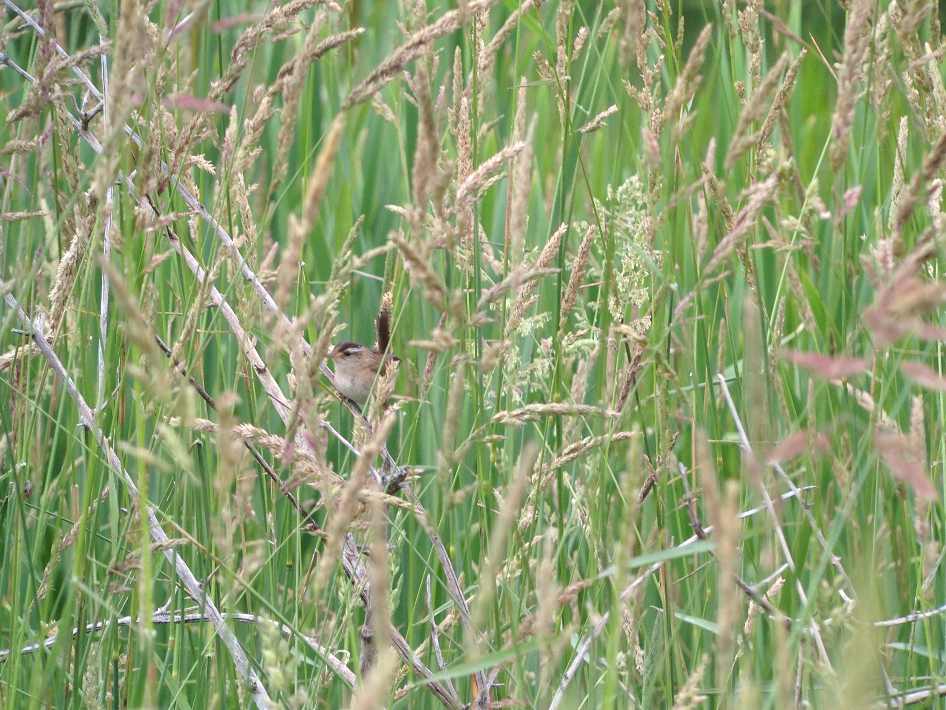
Marsh Wren

Marsh Wren

D. L. & W. RR Bridge, Norwich, NY

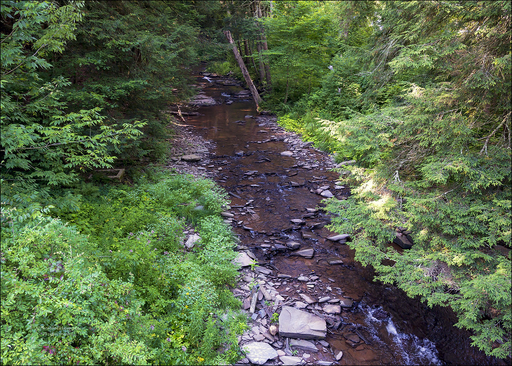
Canasawacta Creek

rear elevation
Stream at "Streamhouse"

Marsh Wren

Lake Steere at night

In the Chenango Valley

Lake Steere at night

Lake Steere at night
NY Ontario & Western ROW, Norwich, NY

Dilly Hill

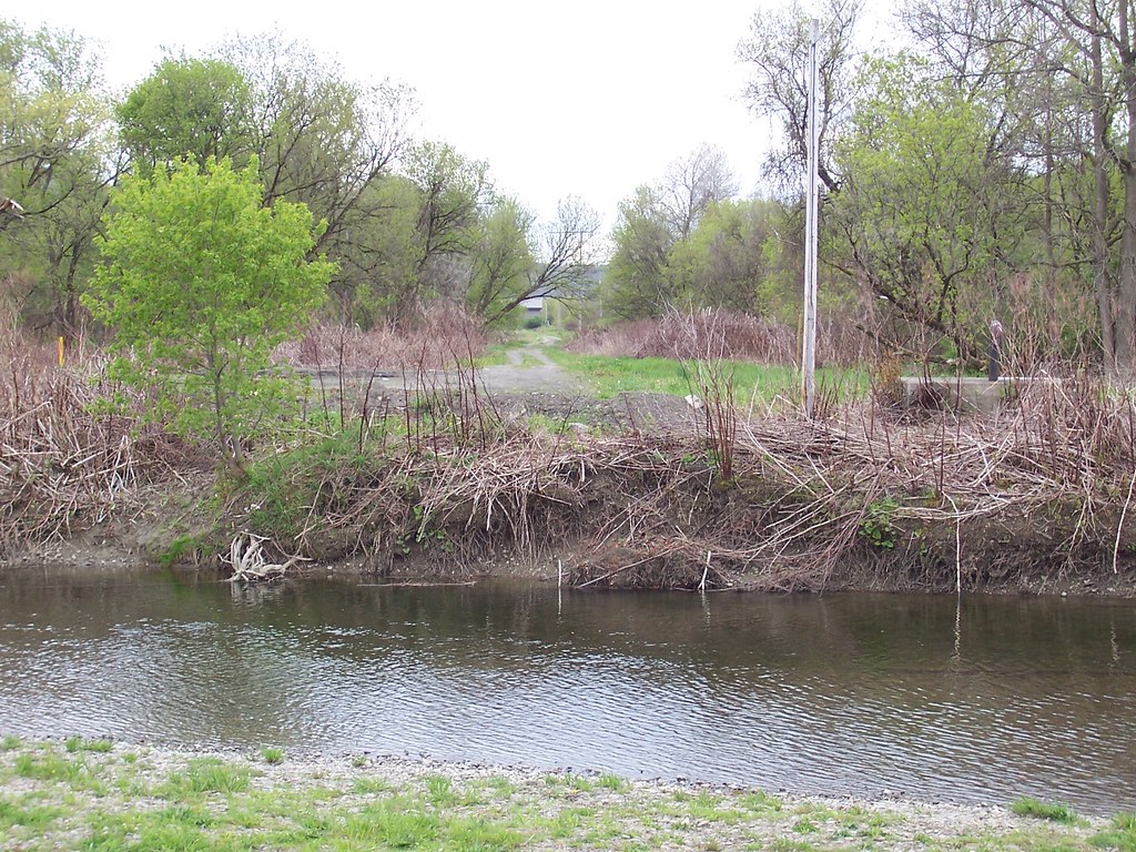
The Chenango River

On Halbert Hill Rd 1

Hunts Pond

Hunts Pond from Above

Chenango River in Chenango County, N.Y.

Chenango River in Chenango County, N.Y.

Chenango River in Chenango County, N.Y.

Canasawacta Creek

Along the Edge of the Pond

Along the Edge of Pond

Shacktown Mountain in the Distance

To the Edge

Early Autumn on the Canasawacta

Fly Over
Topographic Map of Randall Ave, Norwich, NY, USA
Find elevation by address:

Places near Randall Ave, Norwich, NY, USA:
Norwich
74 N Broad St
21 Hayward Ave
New York 23
330 Barnes Rd
County Rd 34, Norwich, NY, USA
804 Wahlberg Rd
Norwich
895 County Rd 33
422 Blower Rd
443 Keach Rd
Guilford
Guilford
6275 Ny-23
181 Brooksbank Rd
Co RD 37 Rd, South New Berlin, NY, USA
1091 County Rd 38
1091 County Rd 38
South New Berlin
Ives Settlement Rd, Bainbridge, NY, USA
Recent Searches:
- Elevation of Steadfast Ct, Daphne, AL, USA
- Elevation of Lagasgasan, X+CQH, Tiaong, Quezon, Philippines
- Elevation of Rojo Ct, Atascadero, CA, USA
- Elevation of Flagstaff Drive, Flagstaff Dr, North Carolina, USA
- Elevation of Avery Ln, Lakeland, FL, USA
- Elevation of Woolwine, VA, USA
- Elevation of Lumagwas Diversified Farmers Multi-Purpose Cooperative, Lumagwas, Adtuyon, RV32+MH7, Pangantucan, Bukidnon, Philippines
- Elevation of Homestead Ridge, New Braunfels, TX, USA
- Elevation of Orchard Road, Orchard Rd, Marlborough, NY, USA
- Elevation of 12 Hutchinson Woods Dr, Fletcher, NC, USA