Elevation of Rancho Mirage, CA, USA
Location: United States > California > Riverside County >
Longitude: -116.41279
Latitude: 33.739744
Elevation: 81m / 266feet
Barometric Pressure: 100KPa
Elevation Map:
Satellite Map:
Related Photos:

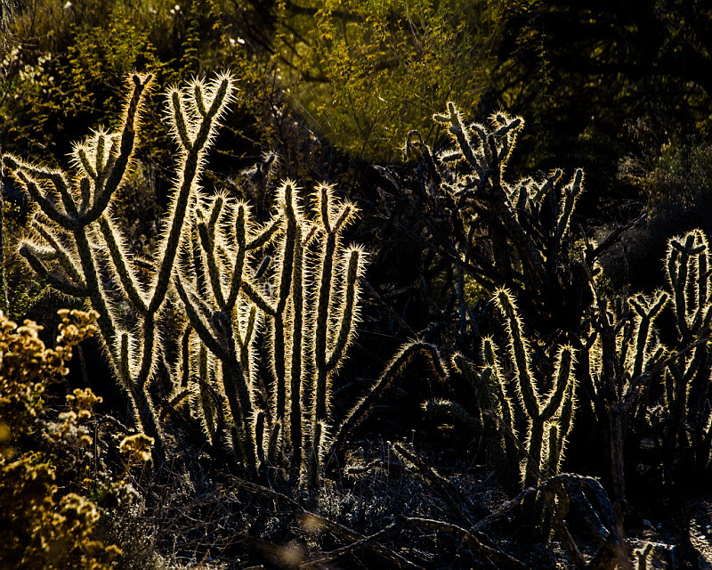
If Your Gonna Put A Chain In Front Of Me
Swimming Among The Clouds

Don't Carry Me Too Far Away
Bring The Old New
Morning Sunrise Clouds_1
How To Make It Rain
KRAAAAAAZZZZZZY KLOUDS
ALL I NEED IS THE AIR THAT I BREATHE... in/out of Explore

Morning Sunrise Clouds_2

Out Of The Blue
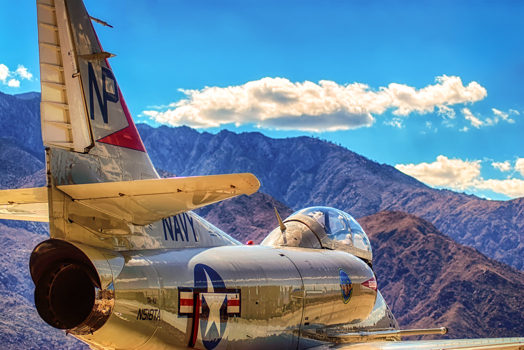
Palm Springs Aviation Expo 2014
Beauty and Grace
Low Flying
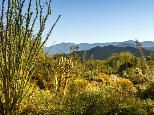
1000 Palms Oasis Preserve / 1000 Palms Canyon
Are Photographs Of Planes A Cliche?

You Mean They're Real?

Mother Nature vs. Pole Power
Storm Brewing
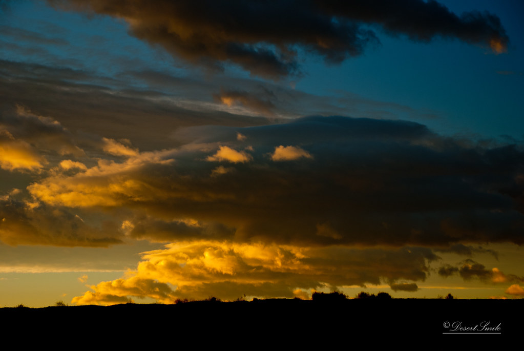
Sunrise 11_8_2010

Earliest Snow Lowest Level. Ever! my view from parking lot
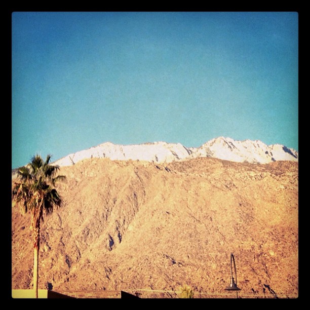
Earliest Snow Lowest Level. Ever! my view from parking lot
Photo Stream
IV Mirage 03.12.12

Grazing Giraffes

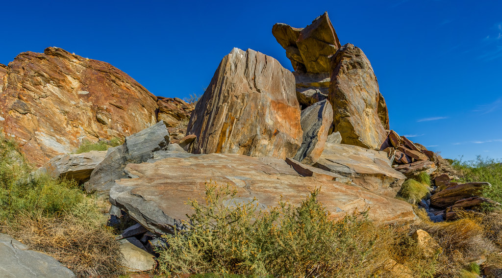
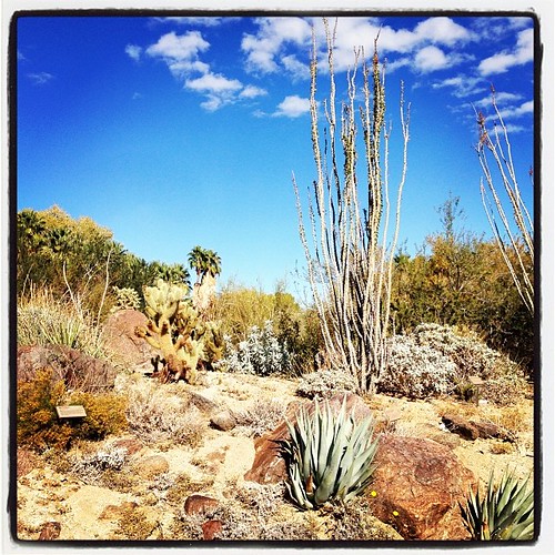
Desert Plateau

Tourists in Andreas Canyon
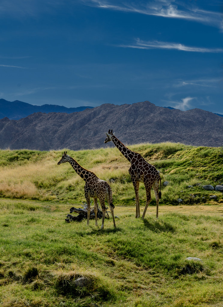
Giraffes at the Living Desert
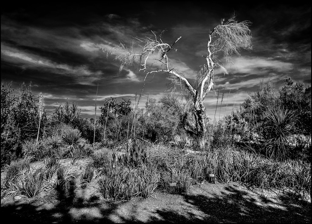
White Tree

January 2013 Landscape II
Remains of Pride Rock

Giraffe Pasture
Pines to Palms
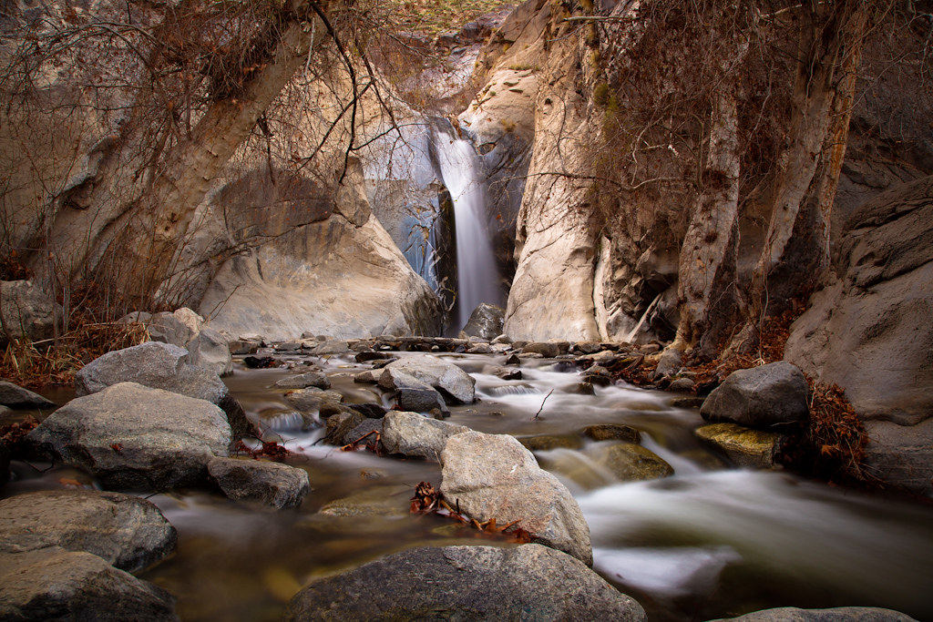
Desert Falls Tranquility
The Living Desert
Snow Caps Yum

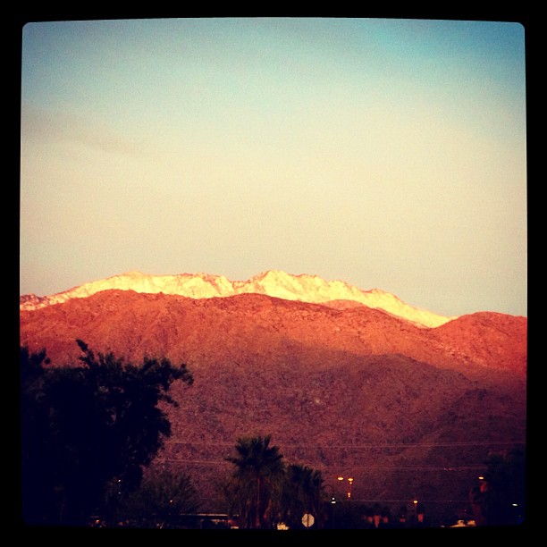
Palm Springs Sunrise
Landscape 06.12.12
desert glow

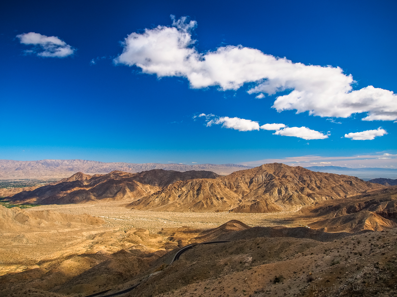
Vista Days
Palm Desert 634

II Landscape 02.18.12

Hiking #3
Topographic Map of Rancho Mirage, CA, USA
Find elevation by address:

Places in Rancho Mirage, CA, USA:
Places near Rancho Mirage, CA, USA:
71546 San Gorgonio Rd
71580 Gardess Rd
Rancho Las Palmas Golf Course
Clancy Lane
2 Vista Santa Rosa
136 Las Lomas
161 Madrid Ave
El Paseo
3 Camisa Ln
Calle De Los Campesinos
Palm Desert
73660 Grapevine St
Setting Sun Trail
73661 Haystack Rd
Cholla Way, Palm Desert, CA, USA
73185 Irontree Dr
73411 Dalea Ln
Santa Rosa And San Jacinto Mountains National Monument
CA-74, Mountain Center, CA, USA
Buck Drive
Recent Searches:
- Elevation of Homestead Ridge, New Braunfels, TX, USA
- Elevation of Orchard Road, Orchard Rd, Marlborough, NY, USA
- Elevation of 12 Hutchinson Woods Dr, Fletcher, NC, USA
- Elevation of Holloway Ave, San Francisco, CA, USA
- Elevation of Norfolk, NY, USA
- Elevation of - San Marcos Pass Rd, Santa Barbara, CA, USA
- Elevation of th Pl SE, Issaquah, WA, USA
- Elevation of 82- D Rd, Captain Cook, HI, USA
- Elevation of Harlow CM20 2PR, UK
- Elevation of Shenyang Agricultural University, Dong Ling Lu, Shen He Qu, Shen Yang Shi, Liao Ning Sheng, China