Elevation of Rancho Manana, Cave Creek, AZ, USA
Location: United States > Arizona > Maricopa County > Cave Creek >
Longitude: -111.95597
Latitude: 33.8335923
Elevation: 635m / 2083feet
Barometric Pressure: 94KPa
Elevation Map:
Satellite Map:
Related Photos:

Pink Snow Cactus

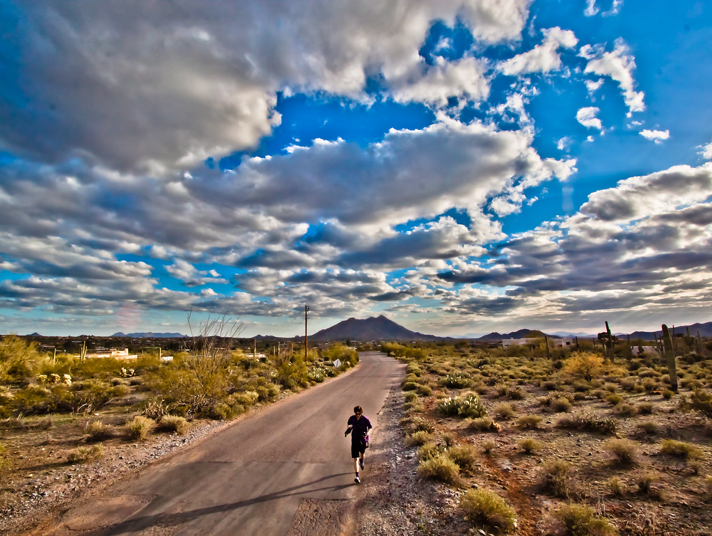
All I Asked Was, "Which Way?"

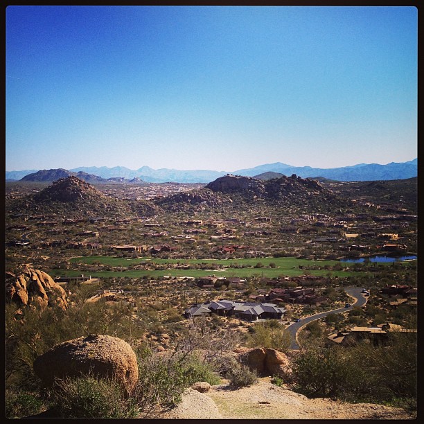
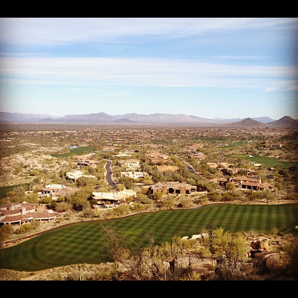
The evening view from Black Mountain.

This view never gets old #troonnorth

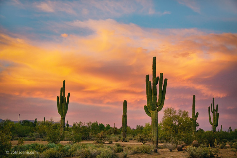
Sunrise Cactus
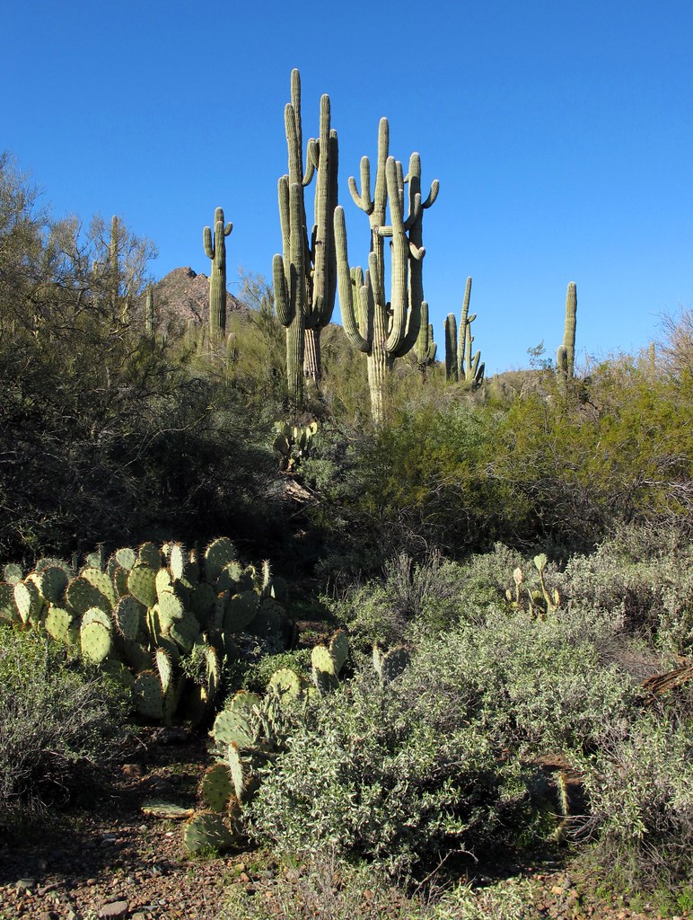
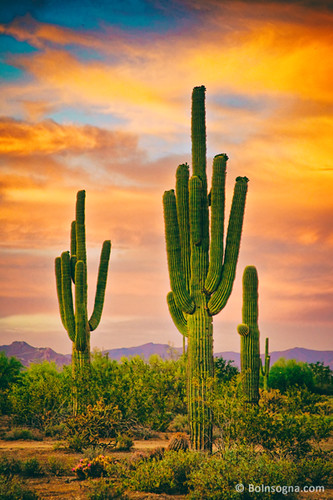
Saguaro Desert Life
The Middle Of Nowhere Shows Its Good Side

Cool Retro Diner Arrow Sign: Big Earl's Greasy Eats, Cave Creek, Close-up, West View

"Saguaro You Here?"--pun by Paul Ewing and Tim Lefler

View from Onyx at The Four Seasons Scottsdsle
View from #pinnaclepeak highest point #scottsdale

Elephant Mountain Sunrise

View to southwest approaching Black Mesa - Spur Cross
USA Surfaces and Textures

In the Wash (Closeup)

Winter in the Sonoran Desert

36. View toward McDowell Mountains from Double D Ranch Mine
Desert Green Scene

Sugarloaf Mountain and Skull Mesa from Black Mesa Trail - Spur Cross

Concorso Arizona 2009
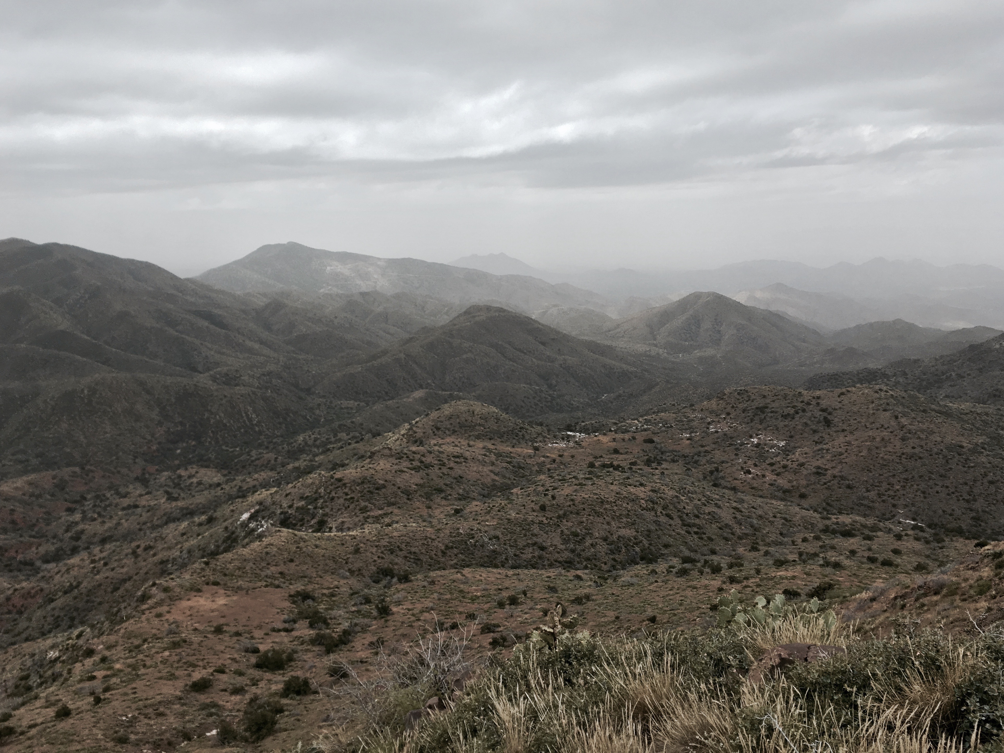
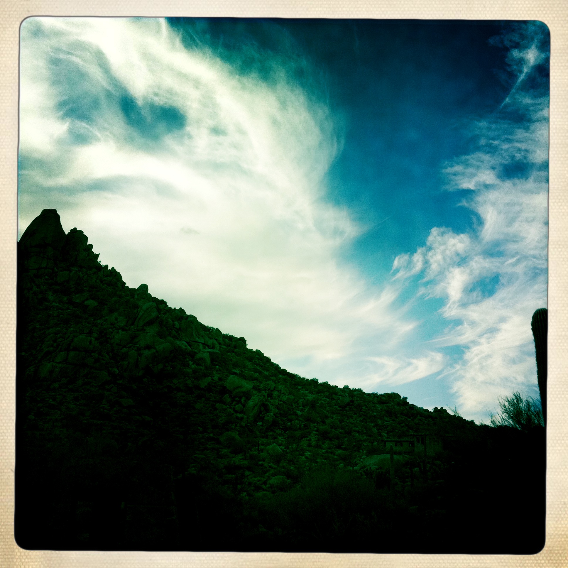
Mountain and cloud view.

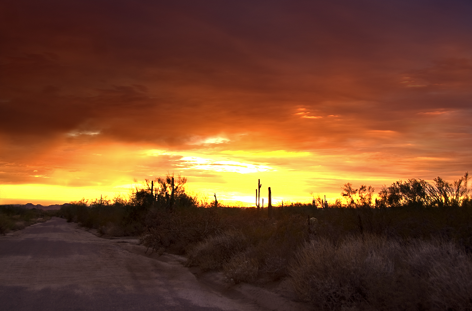
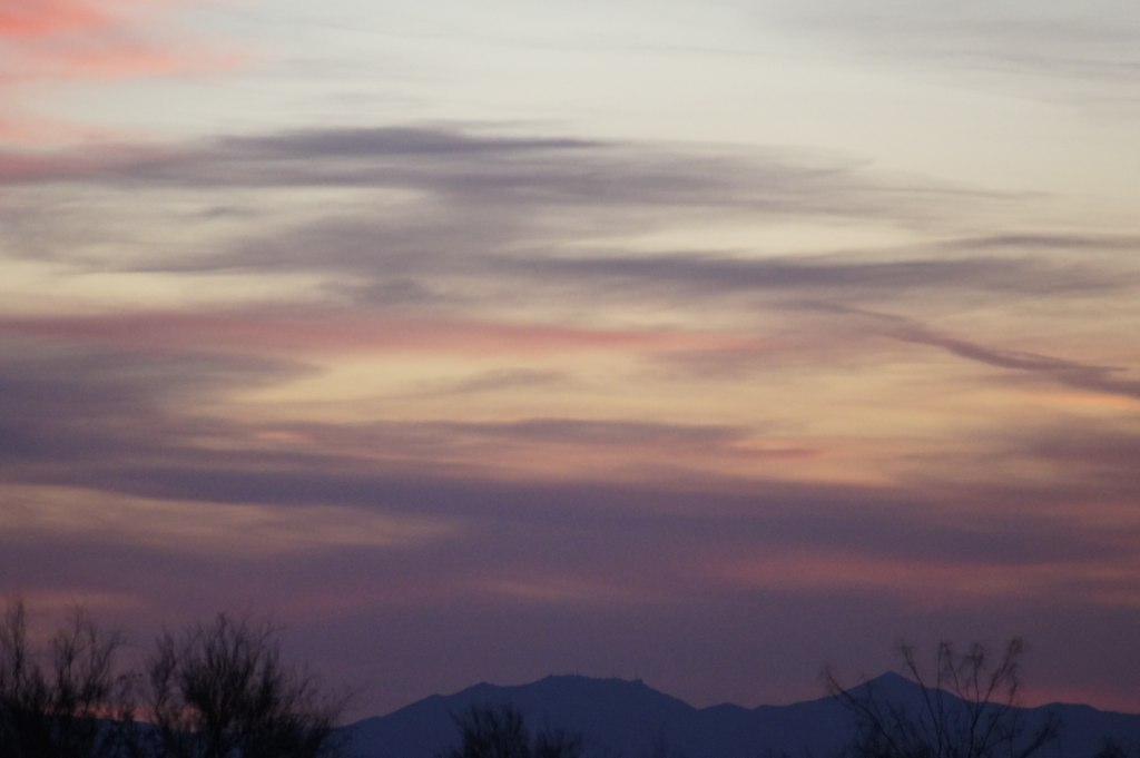
Arizona sunset
371. View from atop Quien Sabe summit centered on Black Mountain in the distance

What a fabulous day in Scottsdale #hike #arizona #hike #scottsdale #pinnaclepeak

Pinnacle Peak from Greasewood Flats

Sunset 4.7.13
Geronimo Golf
Welcome to Arizona. Here's a (tone)Map of the Area!

Golf Ball on Renegade

Pinnacle Peak
Another beautiful view from #pinnaclepeak hike this morning
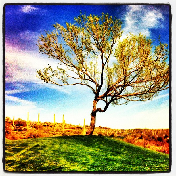
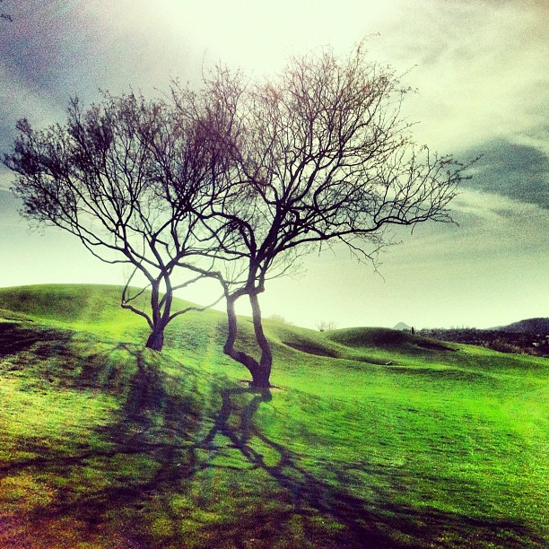
Tree on Geronimo

372. Panorama of distant mountaintop landmarks as seen from summit of Quien Sabe
farewell cave creek
Clouds Over Pinnacle Peak
Arizona Life
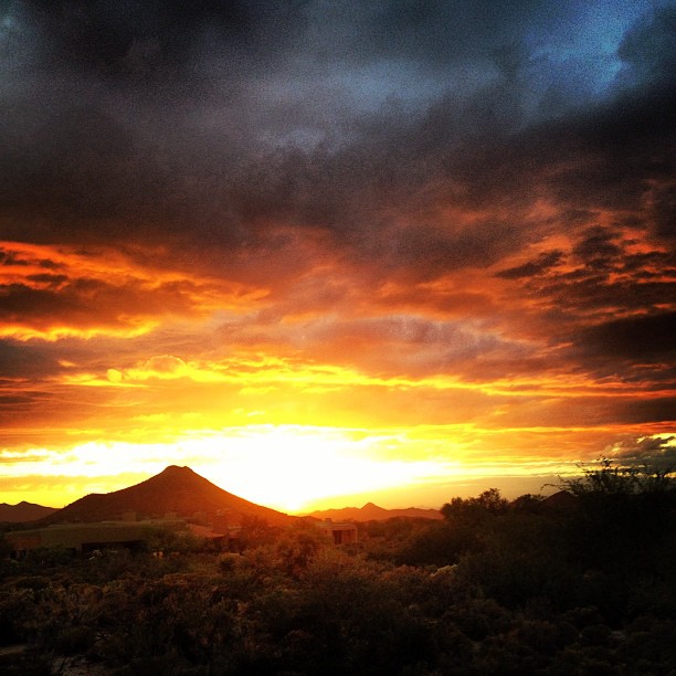
Sky on fire.
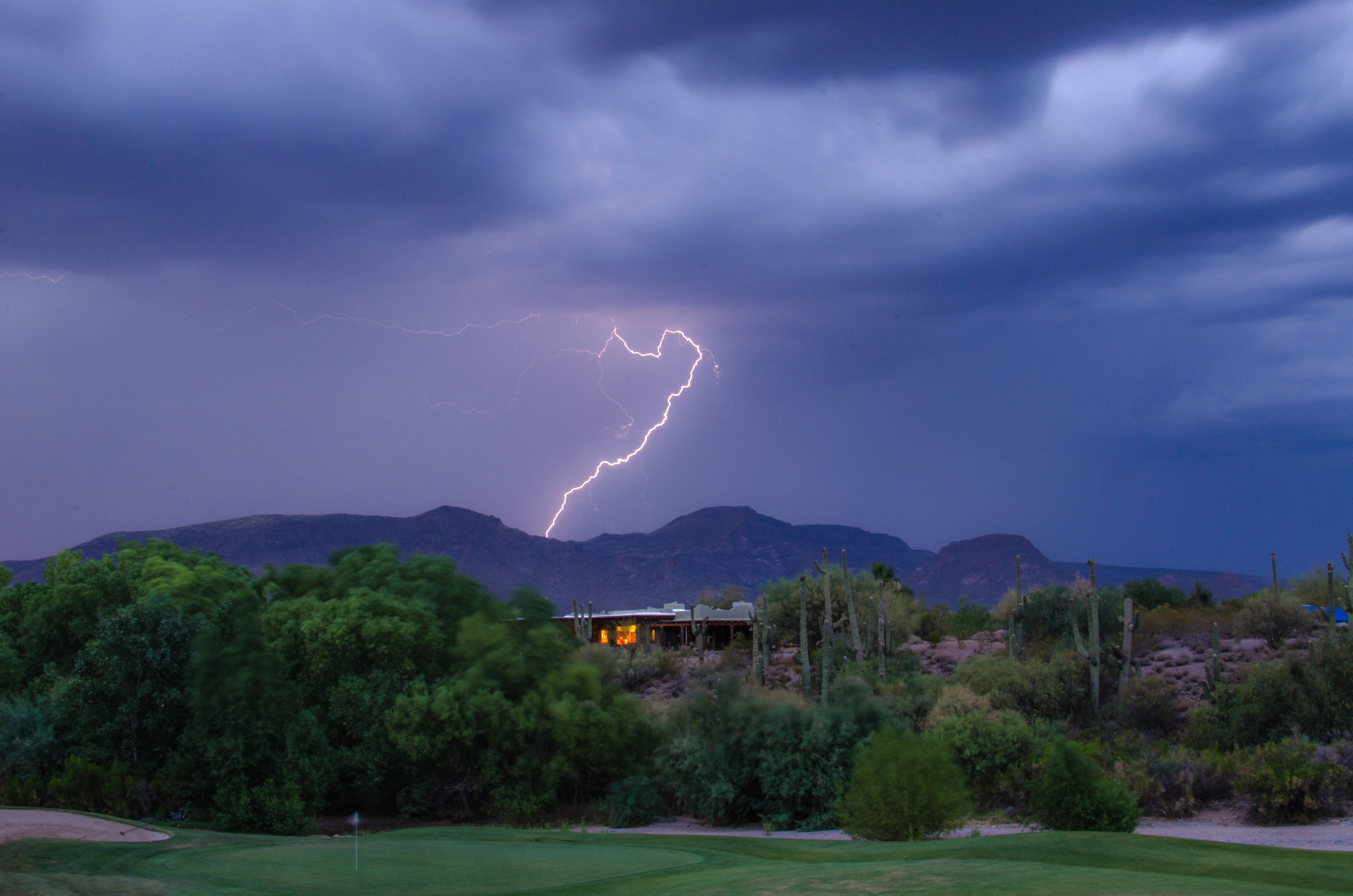
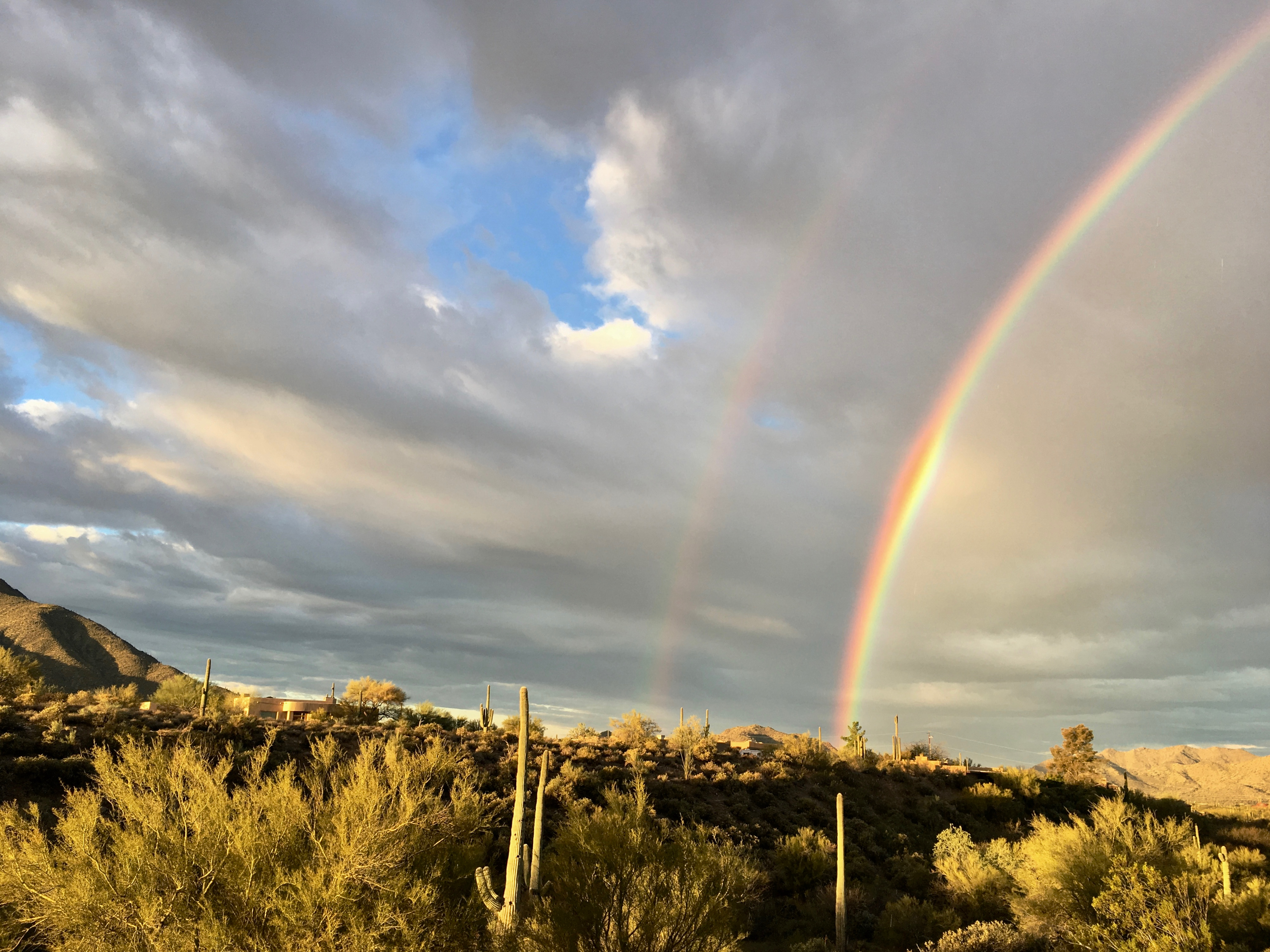
Lightning from Cave Creek
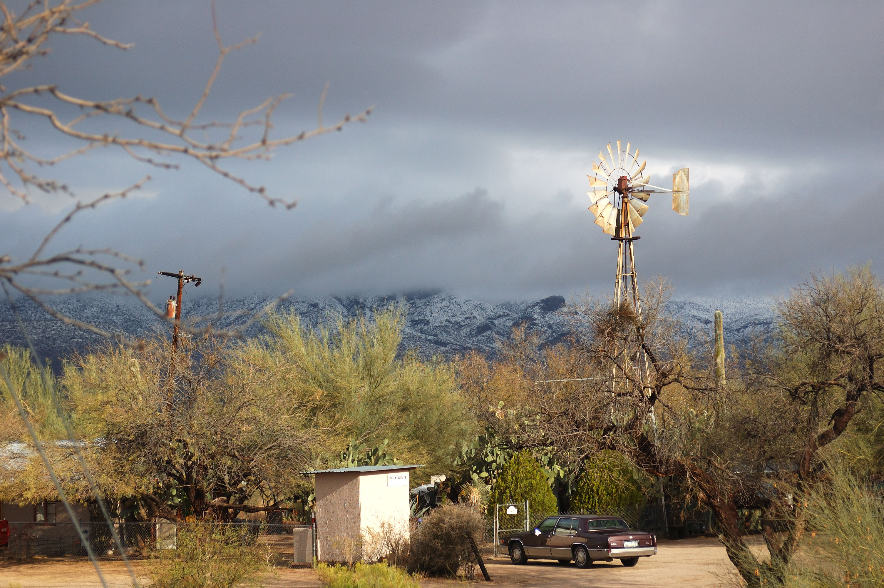
Arizona country scene

Sunrise from Lone Mountain
Topographic Map of Rancho Manana, Cave Creek, AZ, USA
Find elevation by address:

Places near Rancho Manana, Cave Creek, AZ, USA:
Rancho Manana Golf Club
38446 N Spur Cross Rd
Mountain View
Cave Creek
6135 E Cave Creek Rd
6024 E Egret St
Desert Forest Park
6231 E Mark Way Unit 42
39330 N Old Stage Rd
6799 E Cloud Rd
North Cave Creek Road
Carefree Sentinel Rock Estates
Black Mountain
Black Mountain
East Hawksnest Road
5826 E Leisure Ln
35602 N Screaming Eagle Pass
Secluded Lane
35025 N El Sendero Rd
Carefree Mountain Estates
Recent Searches:
- Elevation of Fern Rd, Whitmore, CA, USA
- Elevation of 62 Abbey St, Marshfield, MA, USA
- Elevation of Fernwood, Bradenton, FL, USA
- Elevation of Felindre, Swansea SA5 7LU, UK
- Elevation of Leyte Industrial Development Estate, Isabel, Leyte, Philippines
- Elevation of W Granada St, Tampa, FL, USA
- Elevation of Pykes Down, Ivybridge PL21 0BY, UK
- Elevation of Jalan Senandin, Lutong, Miri, Sarawak, Malaysia
- Elevation of Bilohirs'k
- Elevation of 30 Oak Lawn Dr, Barkhamsted, CT, USA