Elevation of Ranch Road, Ranch Rd, Congress, AZ, USA
Location: United States > Arizona > Yavapai County > Congress >
Longitude: -112.85822
Latitude: 34.1762957
Elevation: 954m / 3130feet
Barometric Pressure: 90KPa
Elevation Map:
Satellite Map:
Related Photos:

Frog Rock

Desert Sky
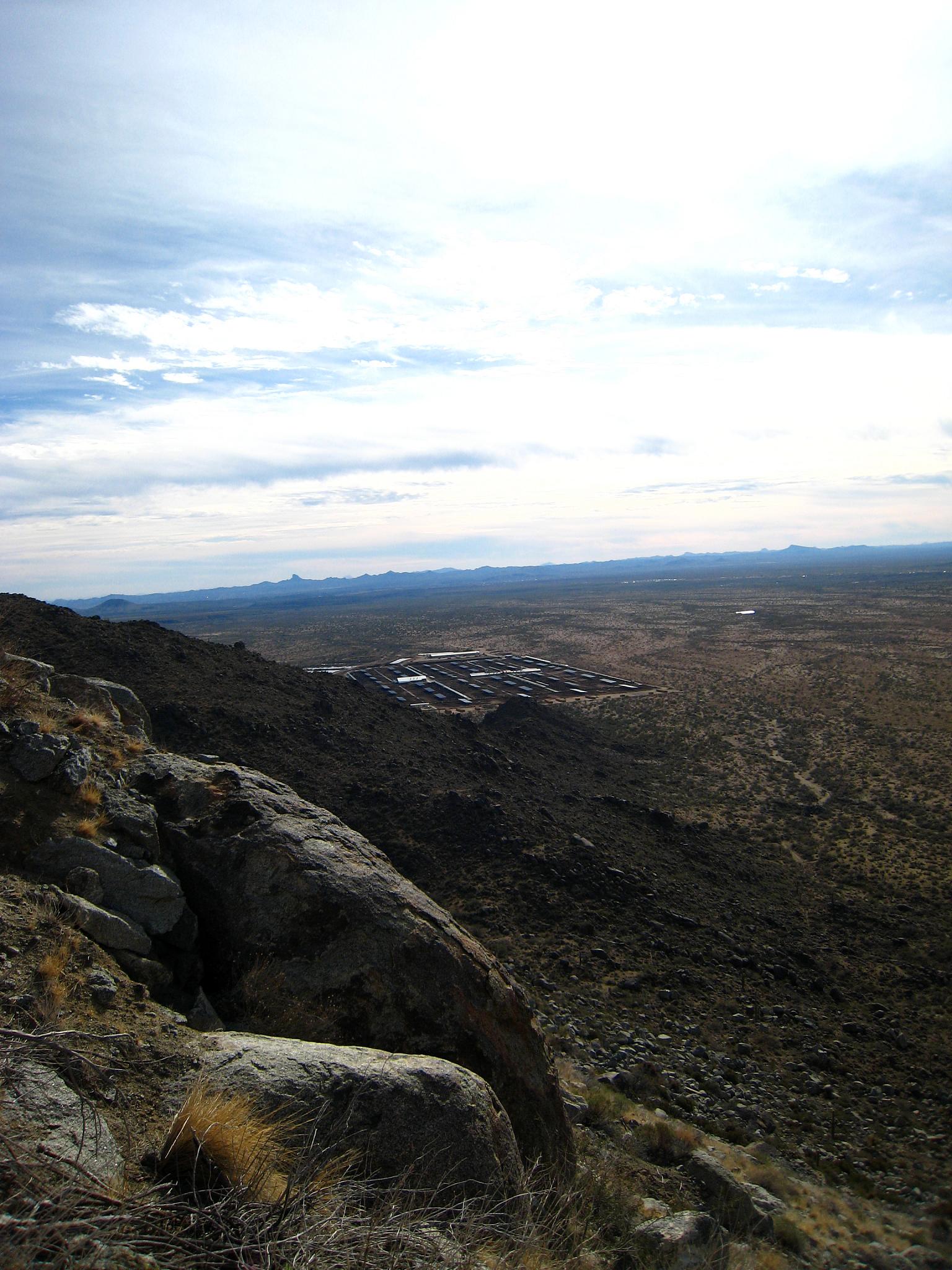
Solar Plant from afar
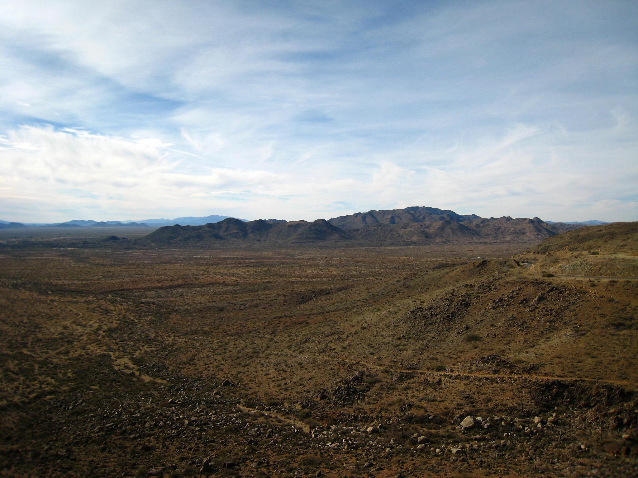
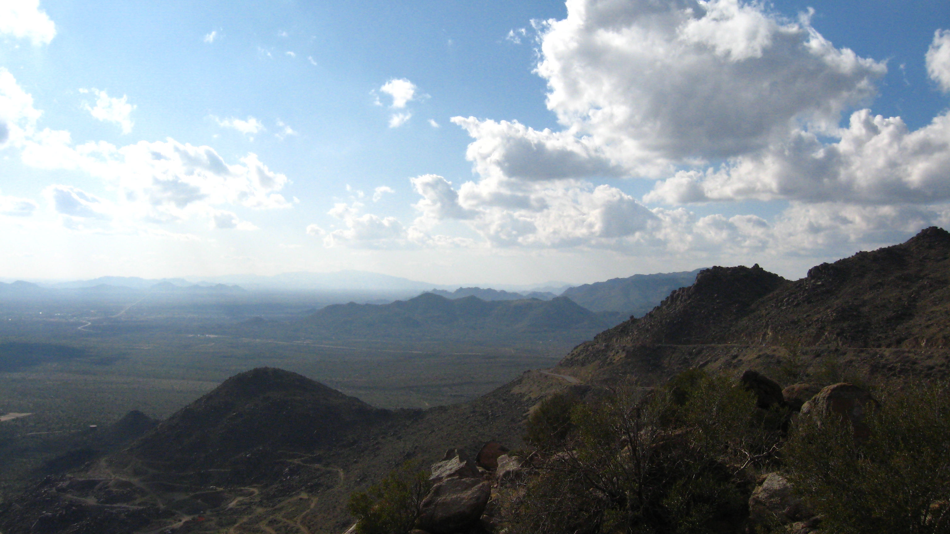
View from the mountain

43. Looking south from White Spar Highway with Fools Gulch and the former Parker Dairy near Congress in view

_ALS6049-Edit.jpg
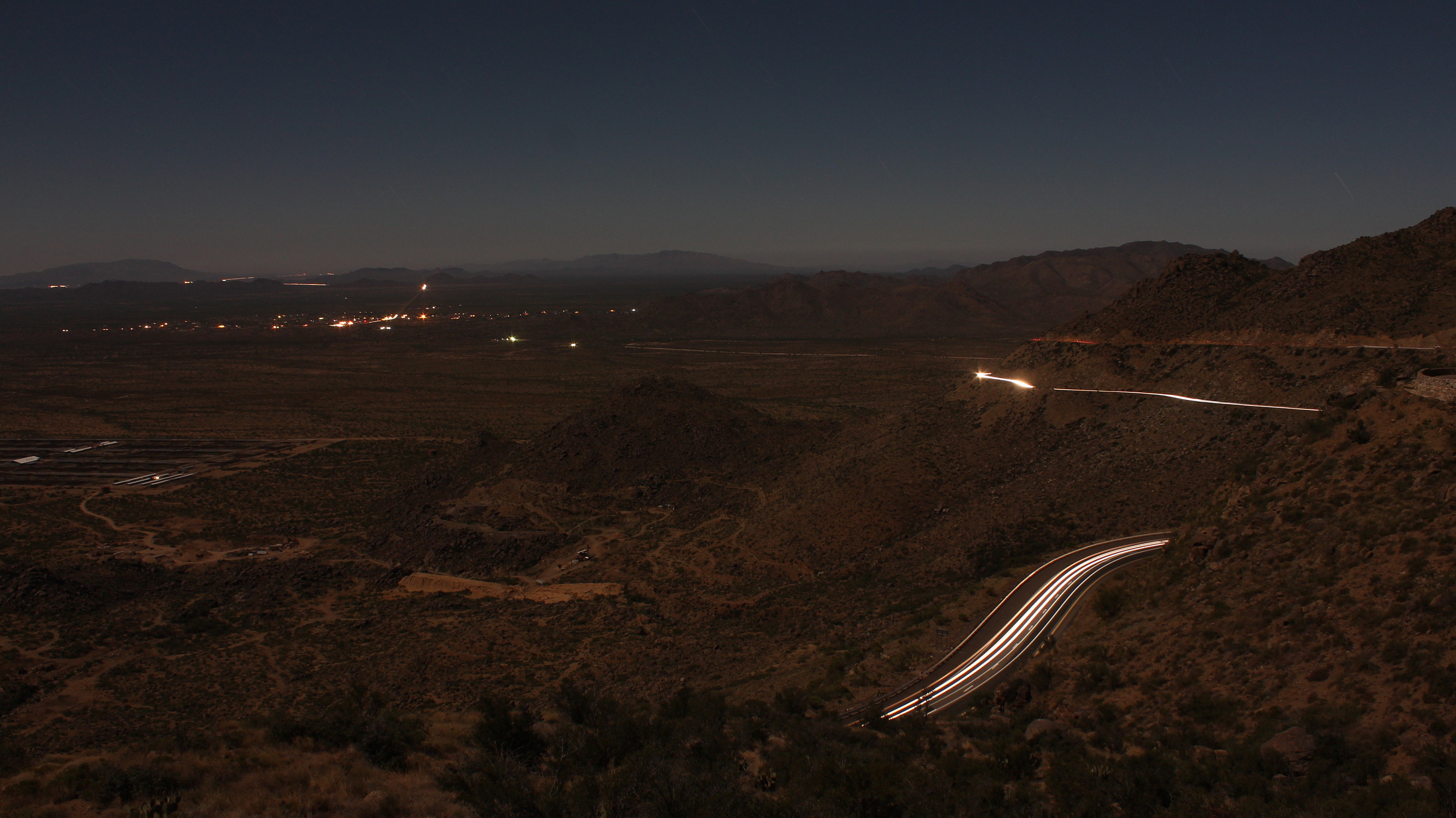
Moonlight Climb

_ALS6083-Edit.jpg
The Subtle Shades of Nature
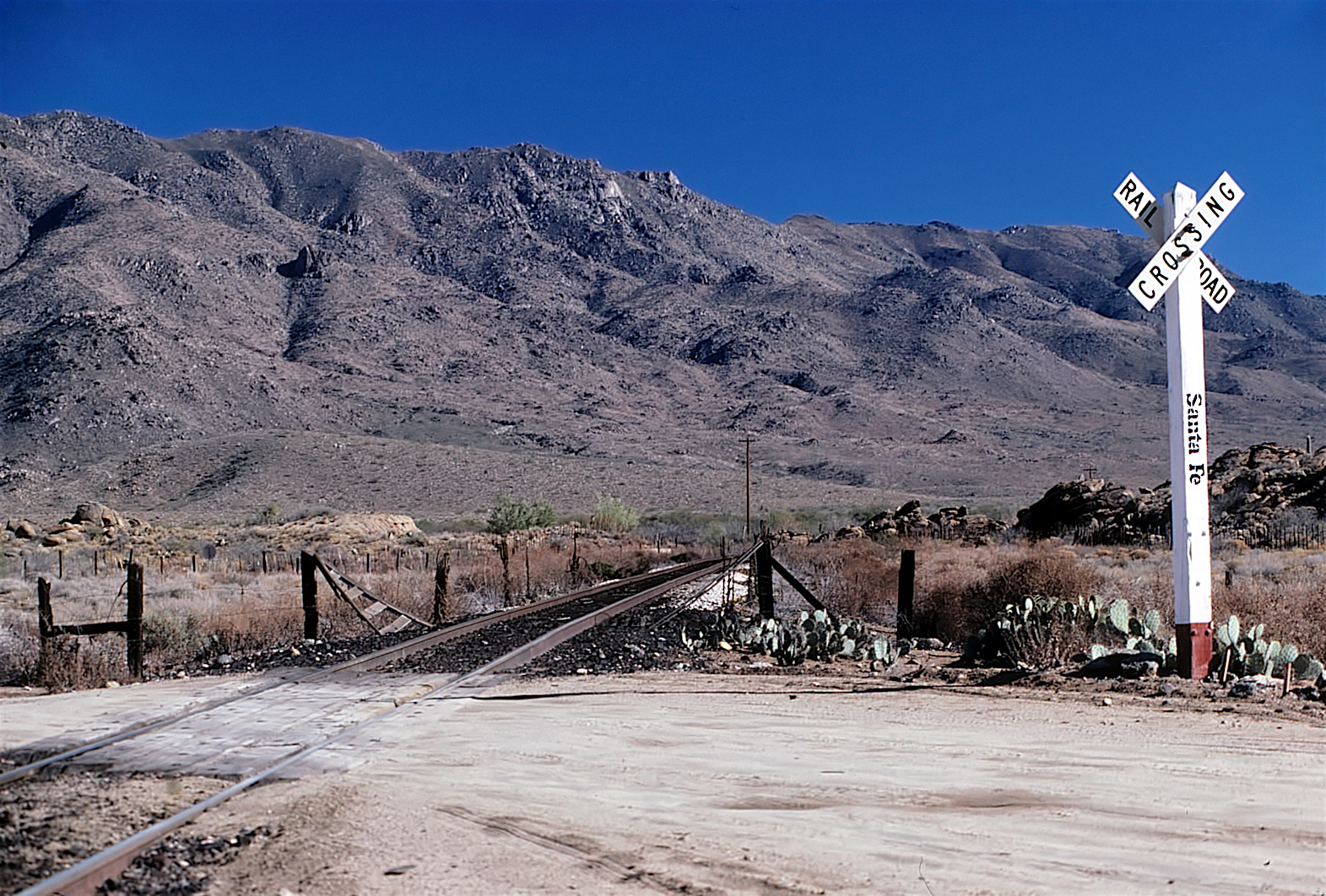
AT&SF 12-18-81
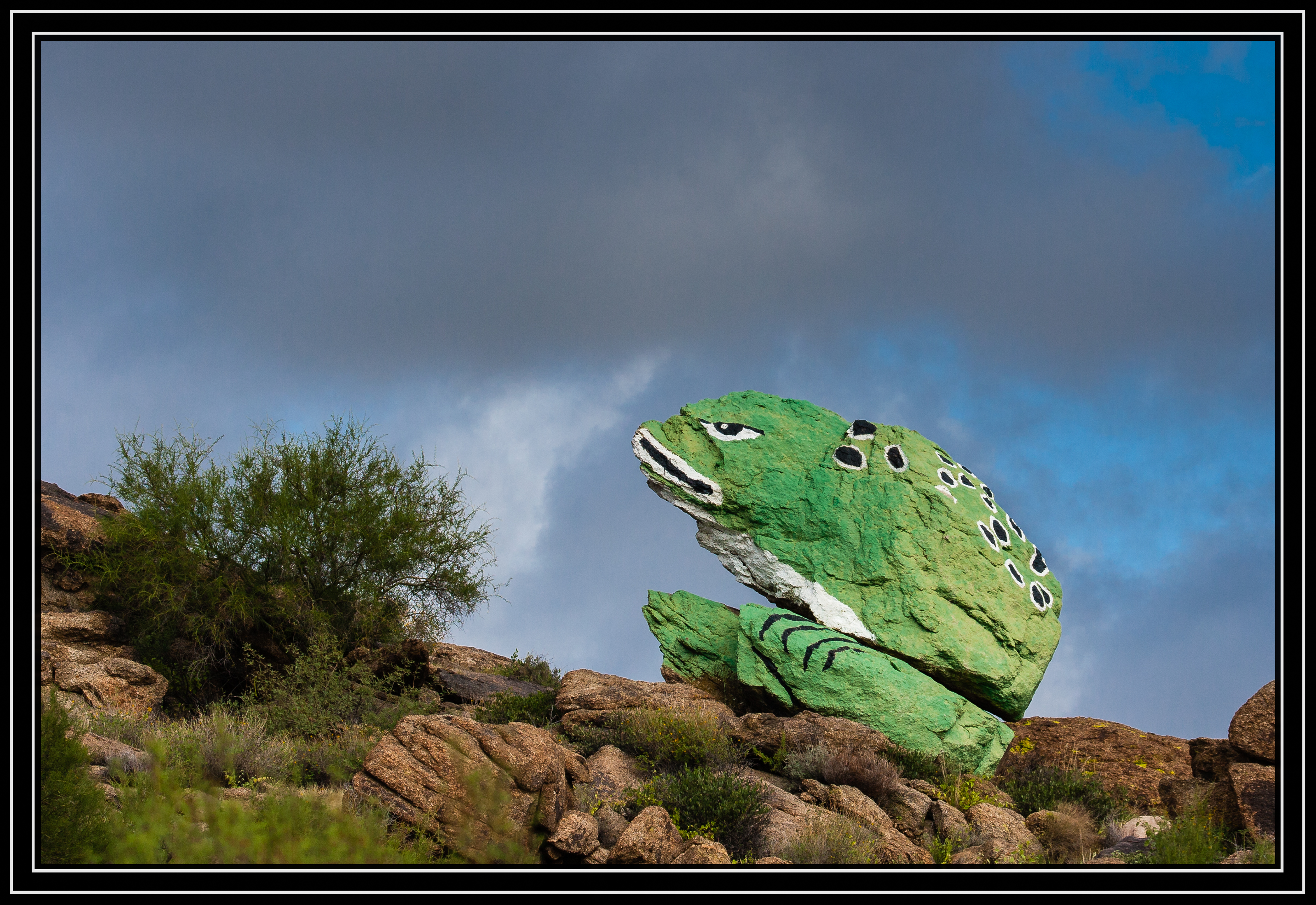
Frog Rock
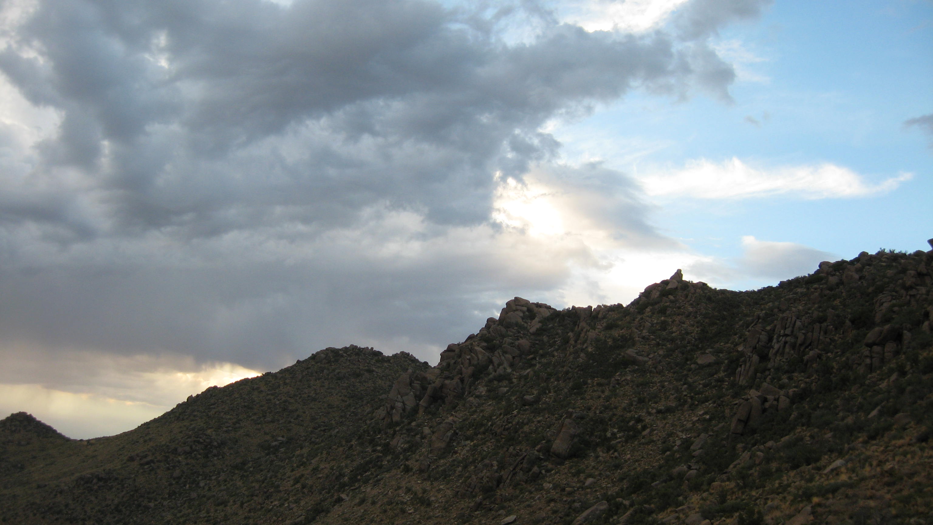
Storm at Sunset
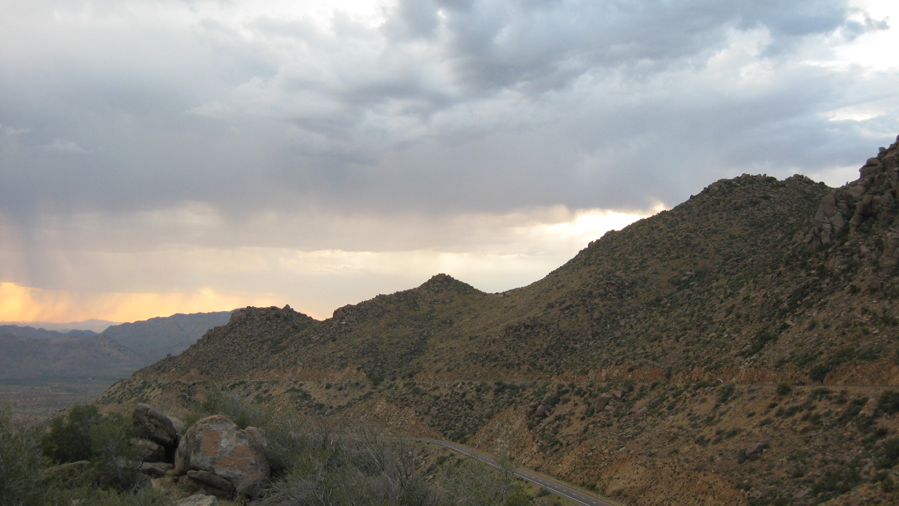
AZ Highway 89 Overlook between Yarnell and Congress
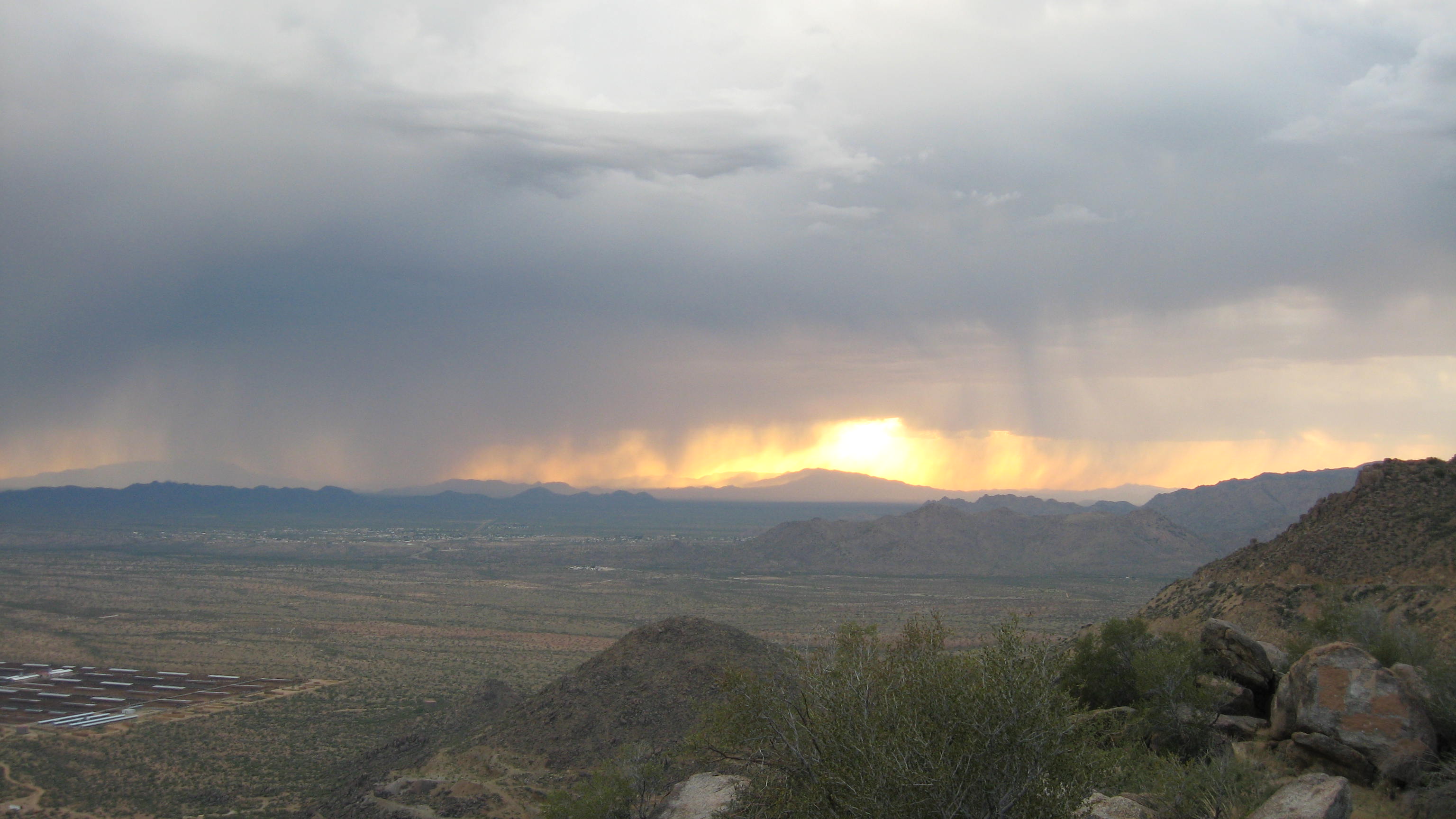
Storm at Sunset
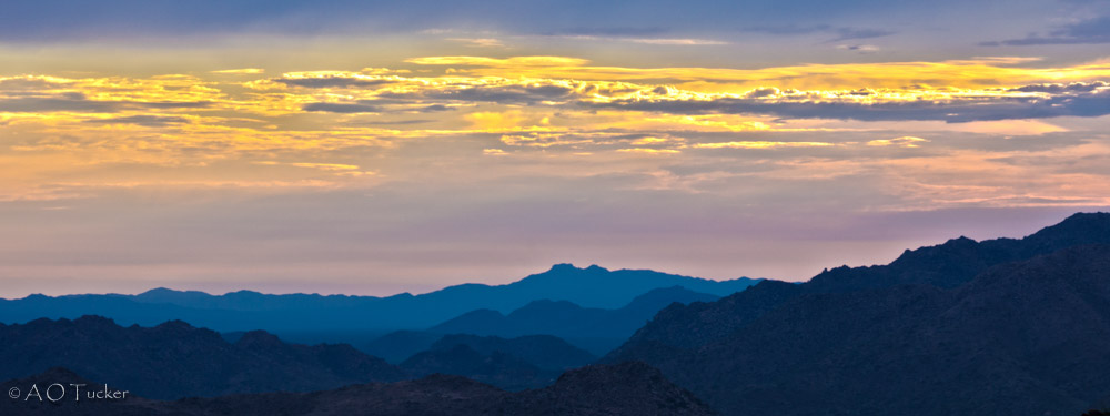
Sunsetting On Yarnell Hill
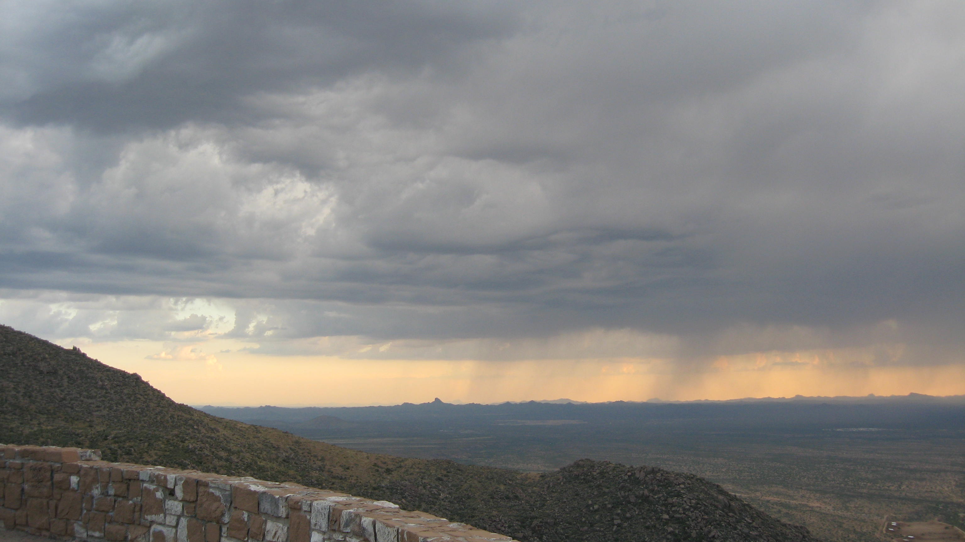
Storm at Sunset
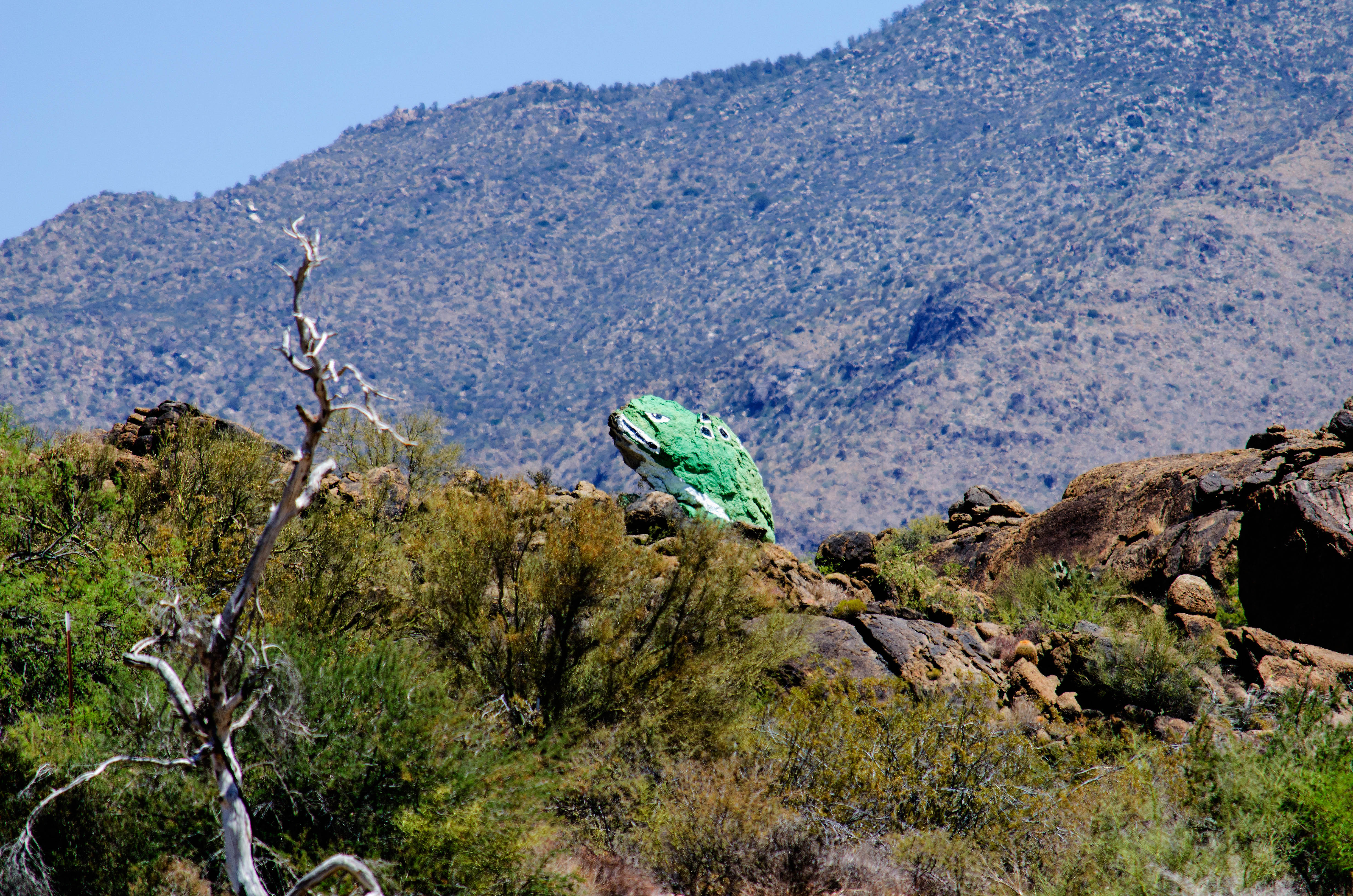
Congress AZ Frog
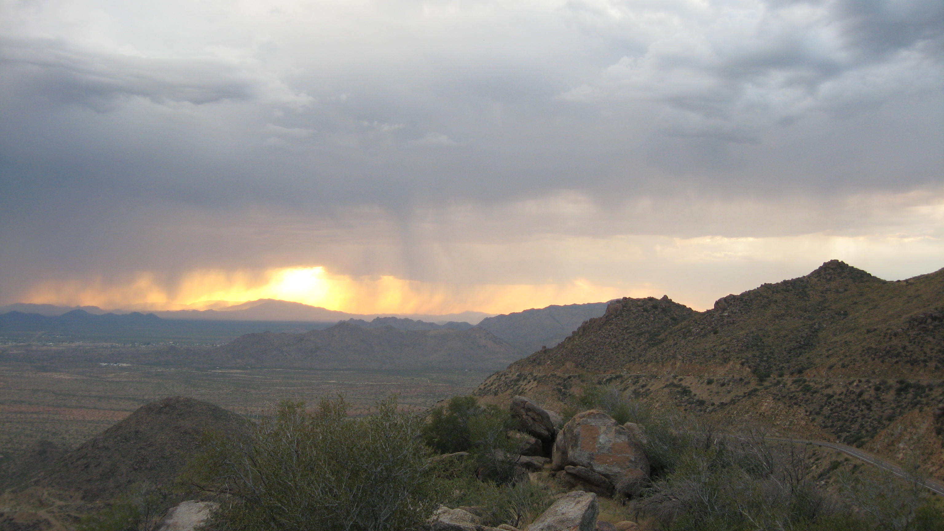
Storm at Sunset
Storm at Sunset
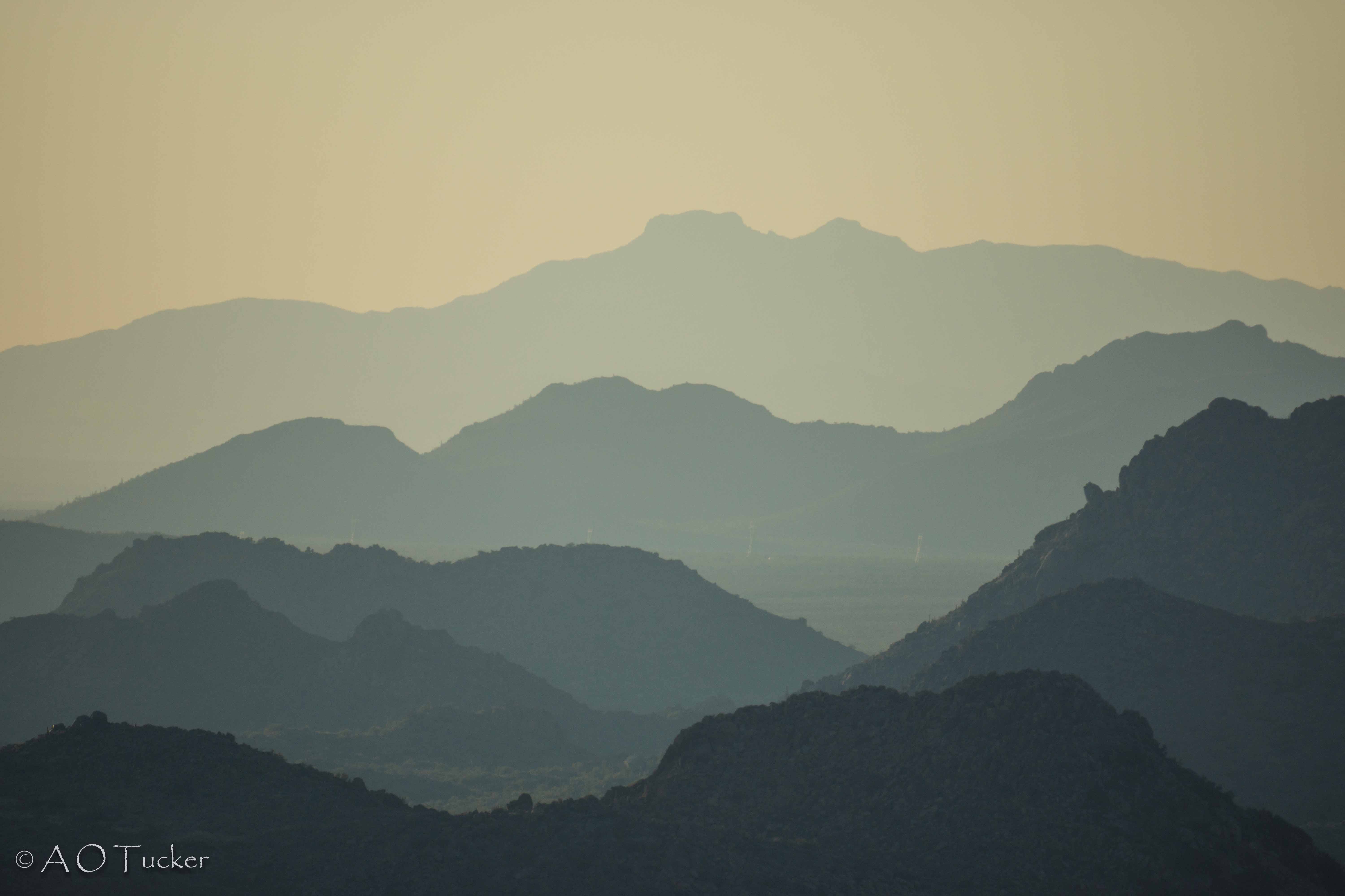
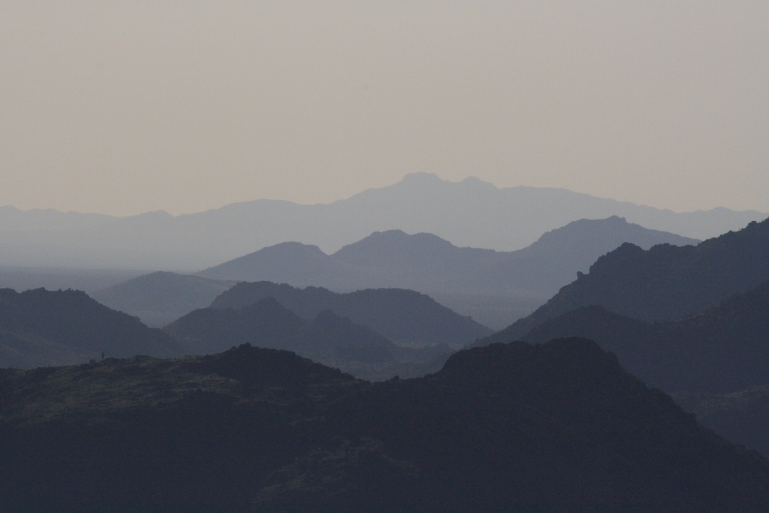
Date Creek Mountain Layers 1

Joshua Tree
Storm at Sunset
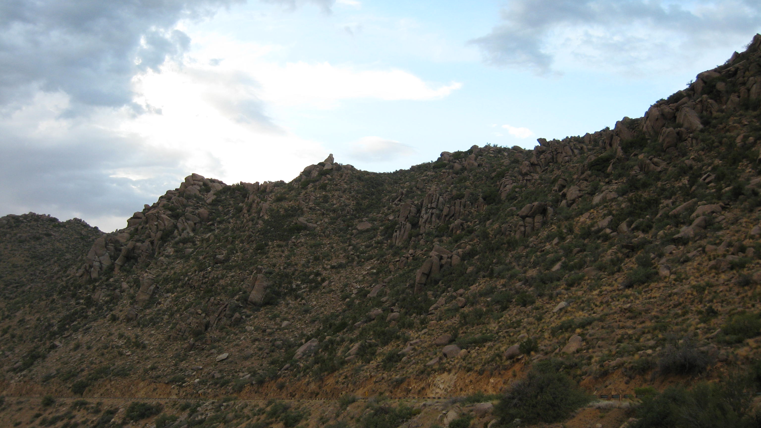
Top of Yarnell Hill
Granite Mountain Hotshots Memorial State Park
Topographic Map of Ranch Road, Ranch Rd, Congress, AZ, USA
Find elevation by address:

Places near Ranch Road, Ranch Rd, Congress, AZ, USA:
Congress
AZ-71, Congress, AZ, USA
22520 Hylton Way
27565 Clydesdale Ave
5 Mile Road
16655 Az-89
Escapees Way
21295 Westward View Rd
Yarnell, AZ, USA
Granite Mountain Hotshots Memorial State Park
17571 Foothill Dr
Date Creek Rd, Congress, AZ, USA
22830 Lakewood Dr
Mountainaire Dr, Yarnell, AZ, USA
23391 Az-89
Yarnell
22512 Az-89
Looka Way, Yarnell, AZ, USA
Nine Irons Ranch Rd, Wickenburg, AZ, USA
26405 Buzzard Rd
Recent Searches:
- Elevation of Rojo Ct, Atascadero, CA, USA
- Elevation of Flagstaff Drive, Flagstaff Dr, North Carolina, USA
- Elevation of Avery Ln, Lakeland, FL, USA
- Elevation of Woolwine, VA, USA
- Elevation of Lumagwas Diversified Farmers Multi-Purpose Cooperative, Lumagwas, Adtuyon, RV32+MH7, Pangantucan, Bukidnon, Philippines
- Elevation of Homestead Ridge, New Braunfels, TX, USA
- Elevation of Orchard Road, Orchard Rd, Marlborough, NY, USA
- Elevation of 12 Hutchinson Woods Dr, Fletcher, NC, USA
- Elevation of Holloway Ave, San Francisco, CA, USA
- Elevation of Norfolk, NY, USA