Elevation of Ranch Rd, Kendalia, TX, USA
Location: United States > Texas > Kendall County >
Longitude: -98.521807
Latitude: 29.968334
Elevation: 423m / 1388feet
Barometric Pressure: 96KPa
Elevation Map:
Satellite Map:
Related Photos:
Picture A Day March 14, 2010 - Mushrooms at Guadalupe River State Park
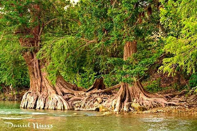
Guadalupe River Cypress
Curry Creek Crossing, north of San Antonio (Picture A Day November 16, 2009)
Picture A Day November 21, 2009 - Too Much Rain!
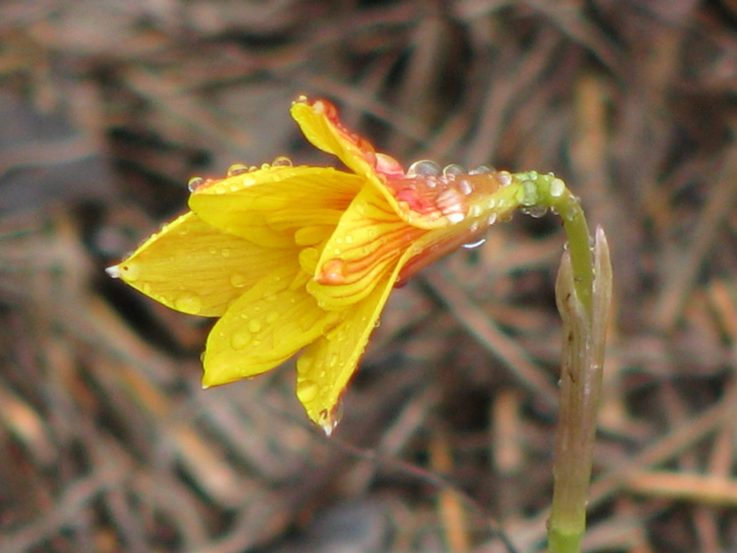
Picture A Day September 23, 2009 - Yellow Rain Lily (Zephyranthes aurea) at Guadalupe River State Park
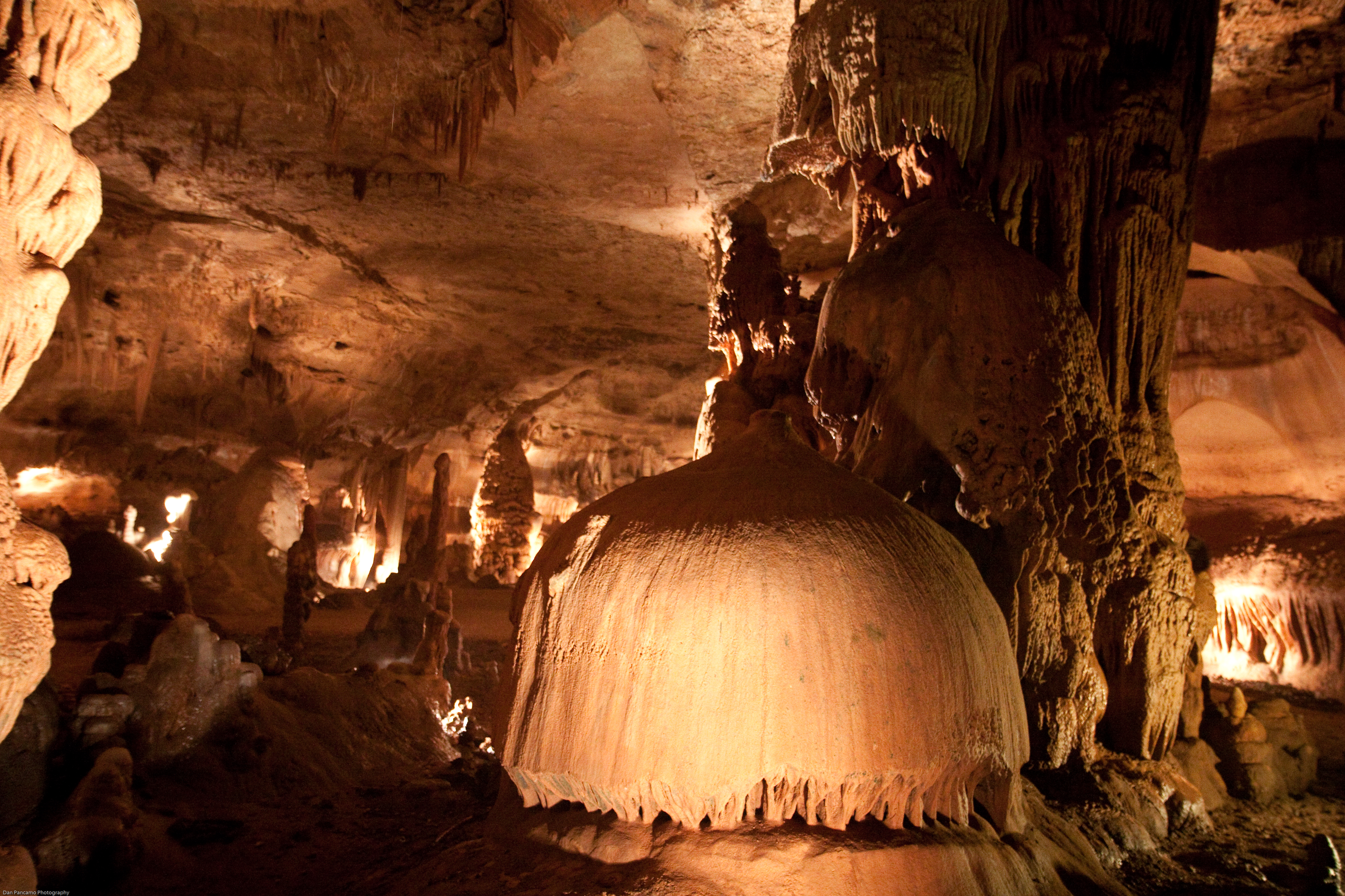
Cave Without A Name

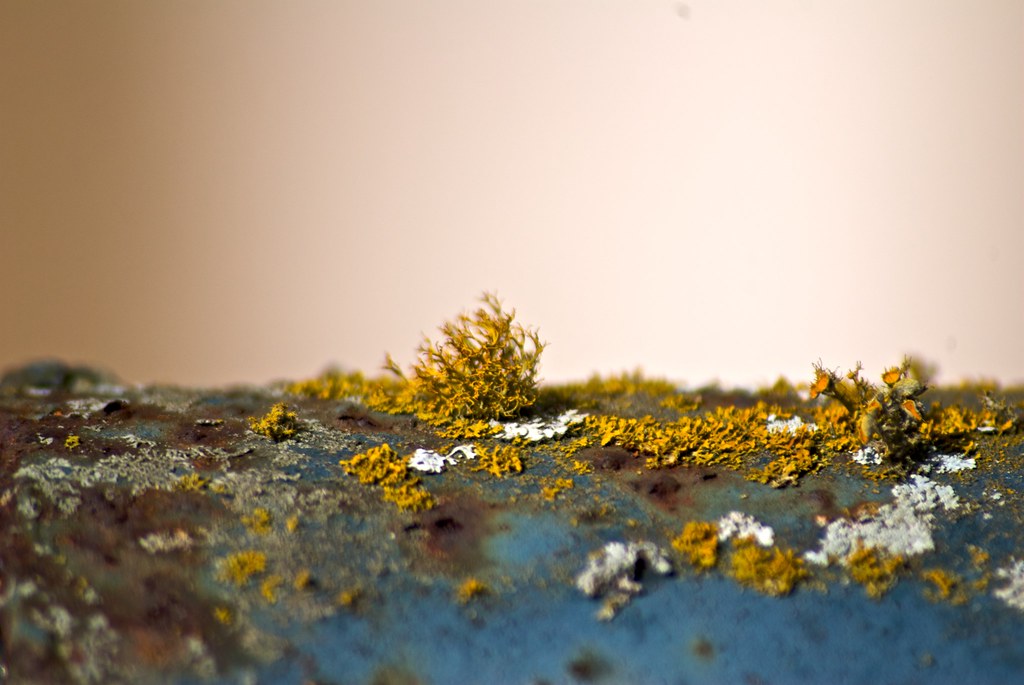
Rust in Peace
I visited an alien planet.
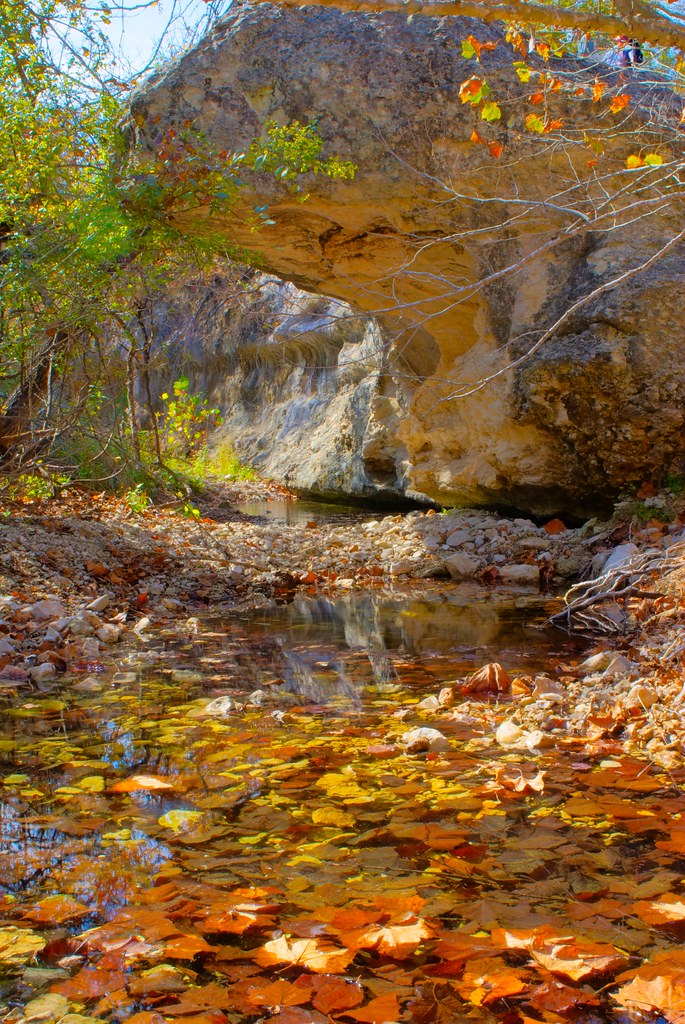
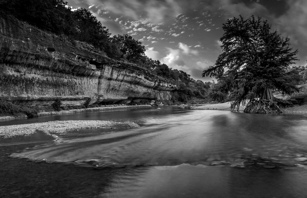
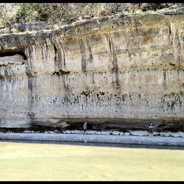
Limestone Creek
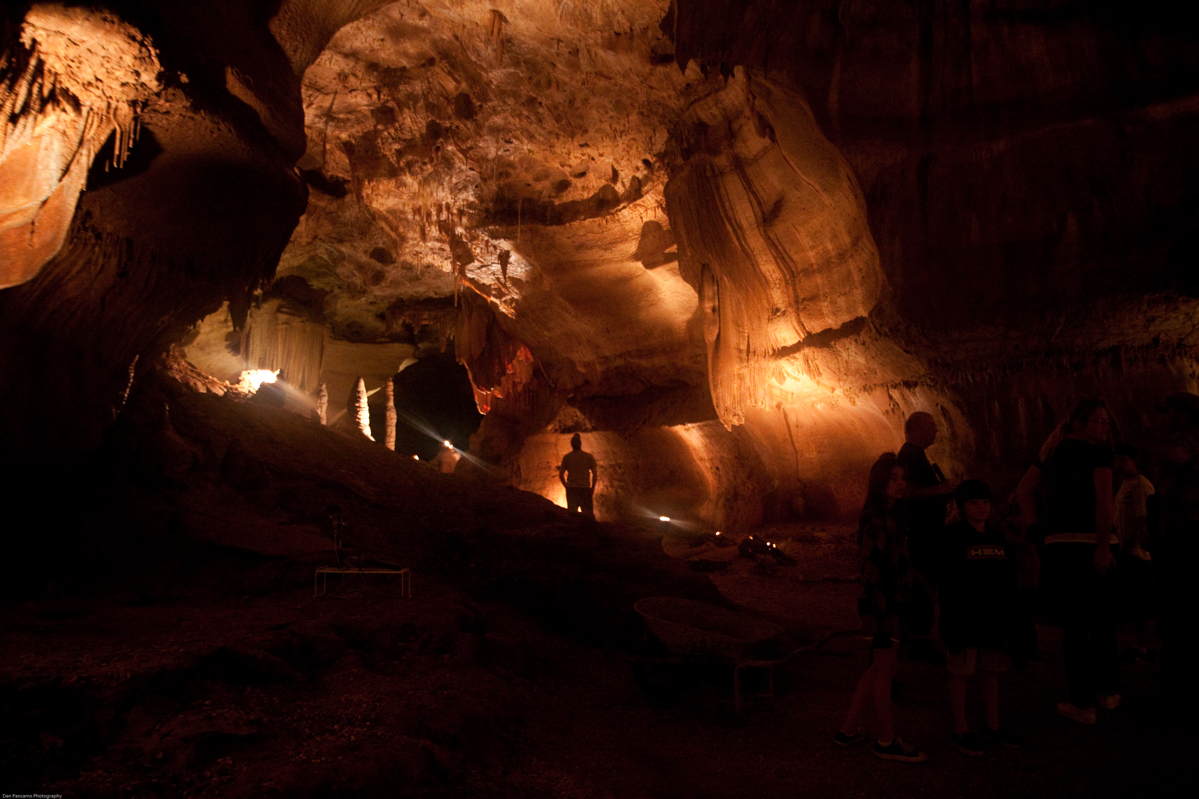
Cave Without A Name
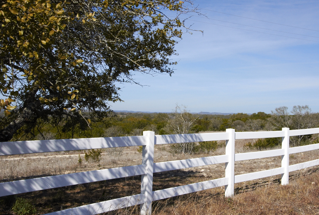
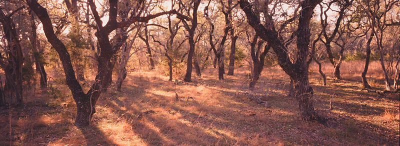
Hill Country Fence
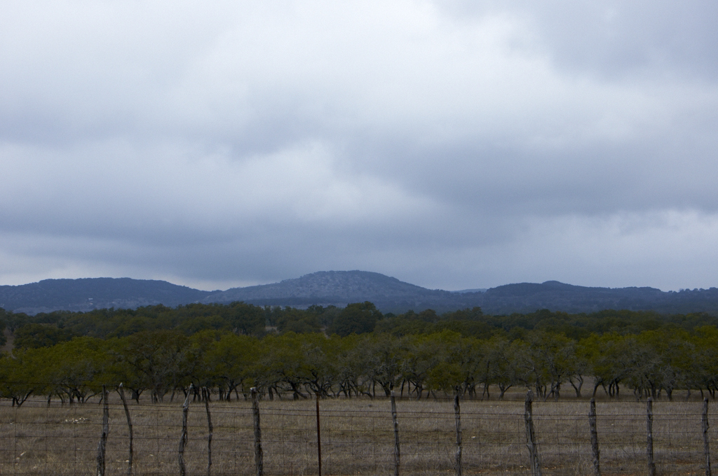
Storm Clouds over the Hill Country
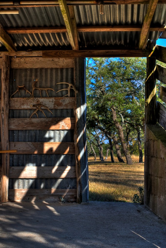
Sheds in a shed
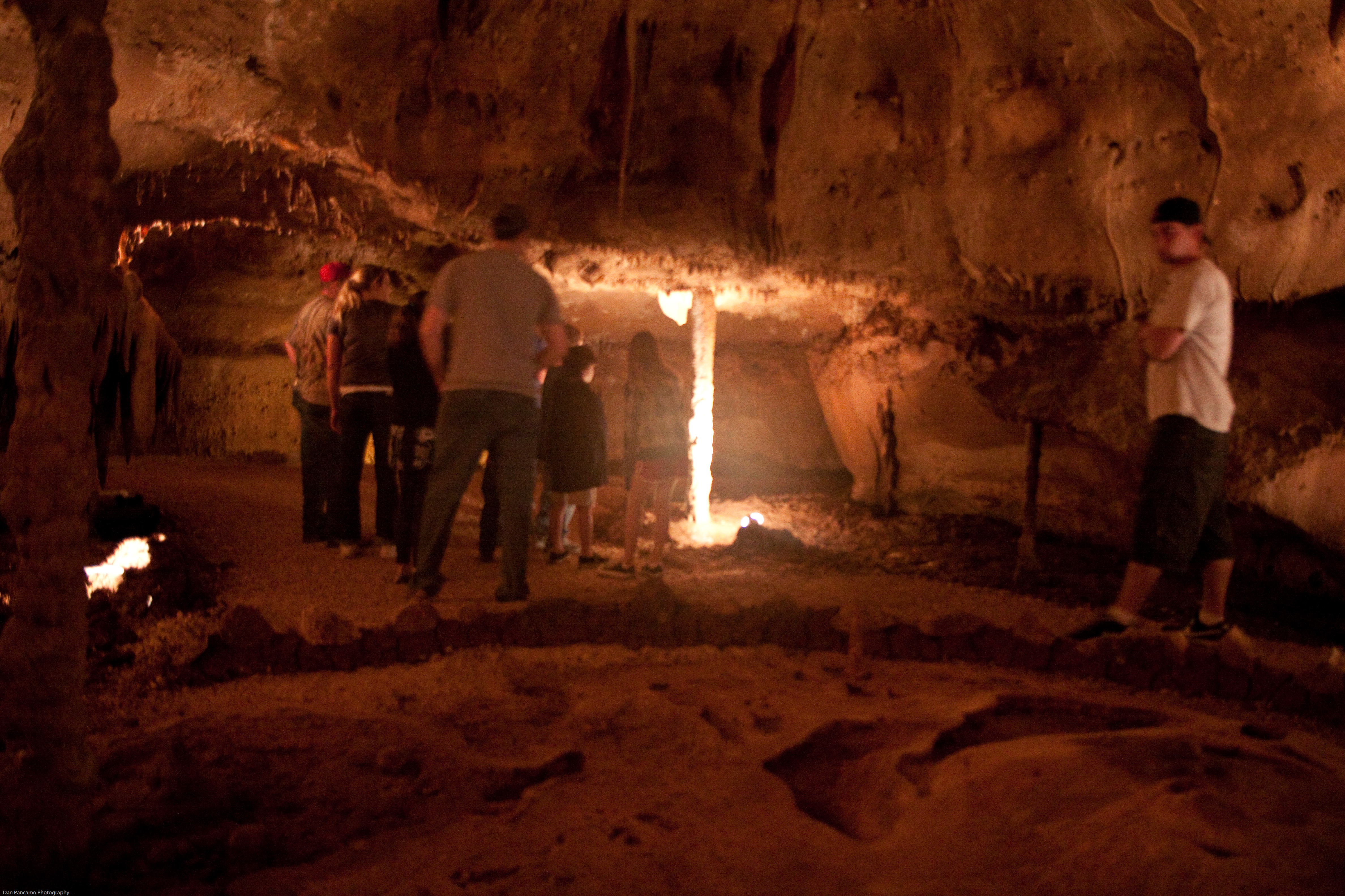
Cave Without A Name
Chirt.
Hi Ho Silver, and Away!
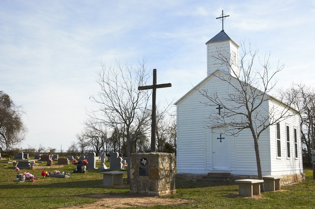
St. Mary's Chapel & Cemetery
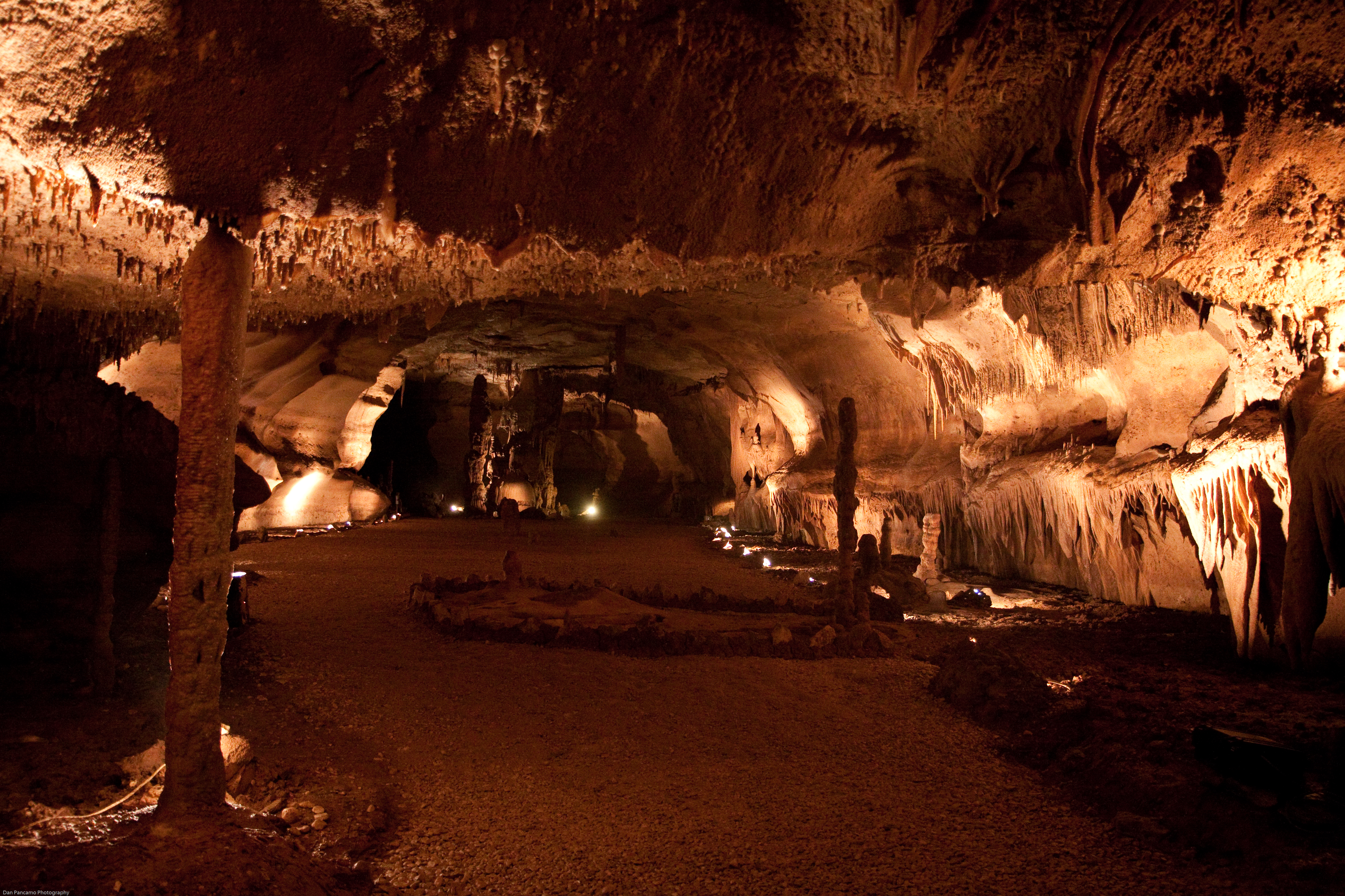
Cave Without A Name
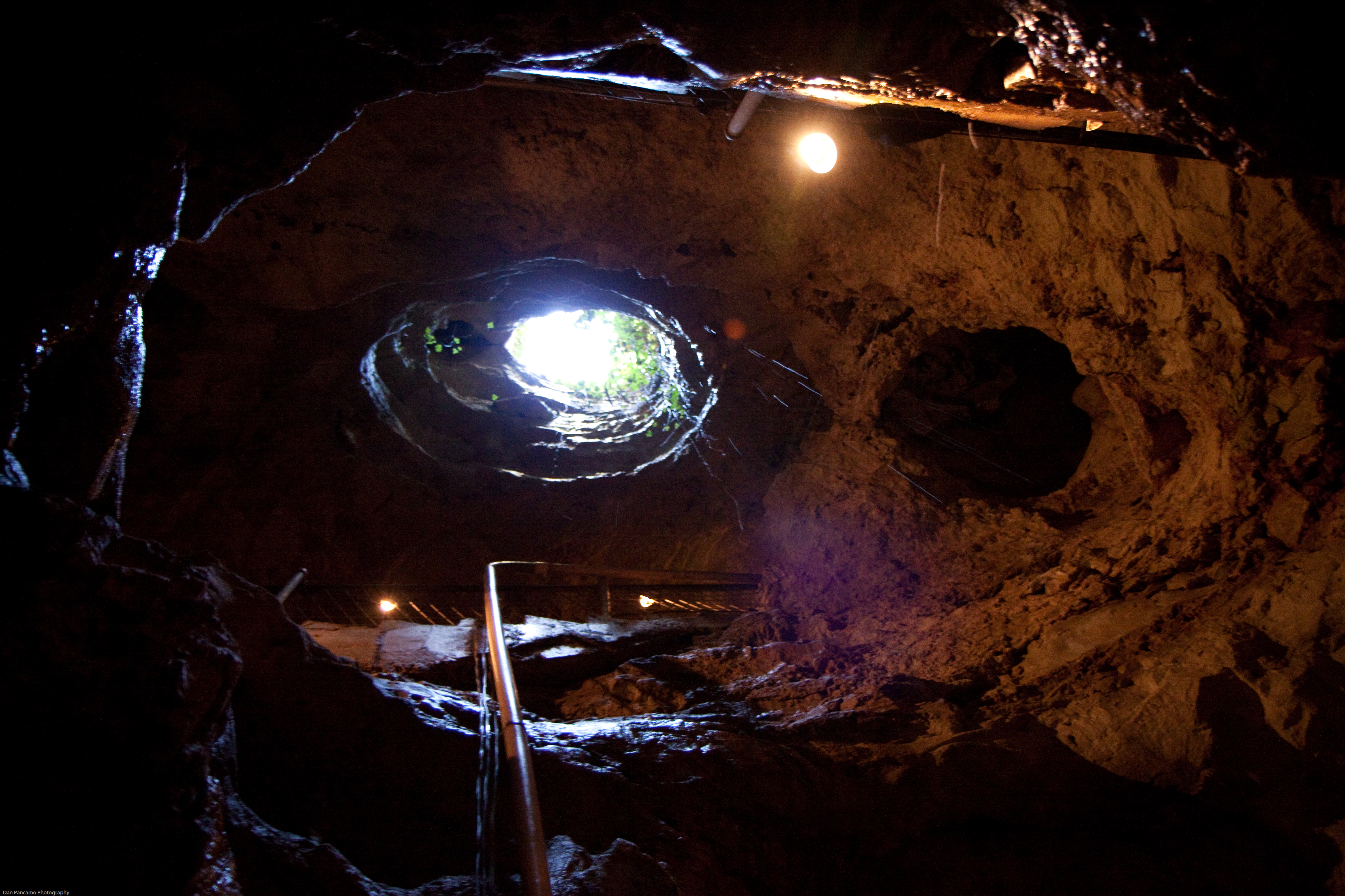
Cave Without A Name
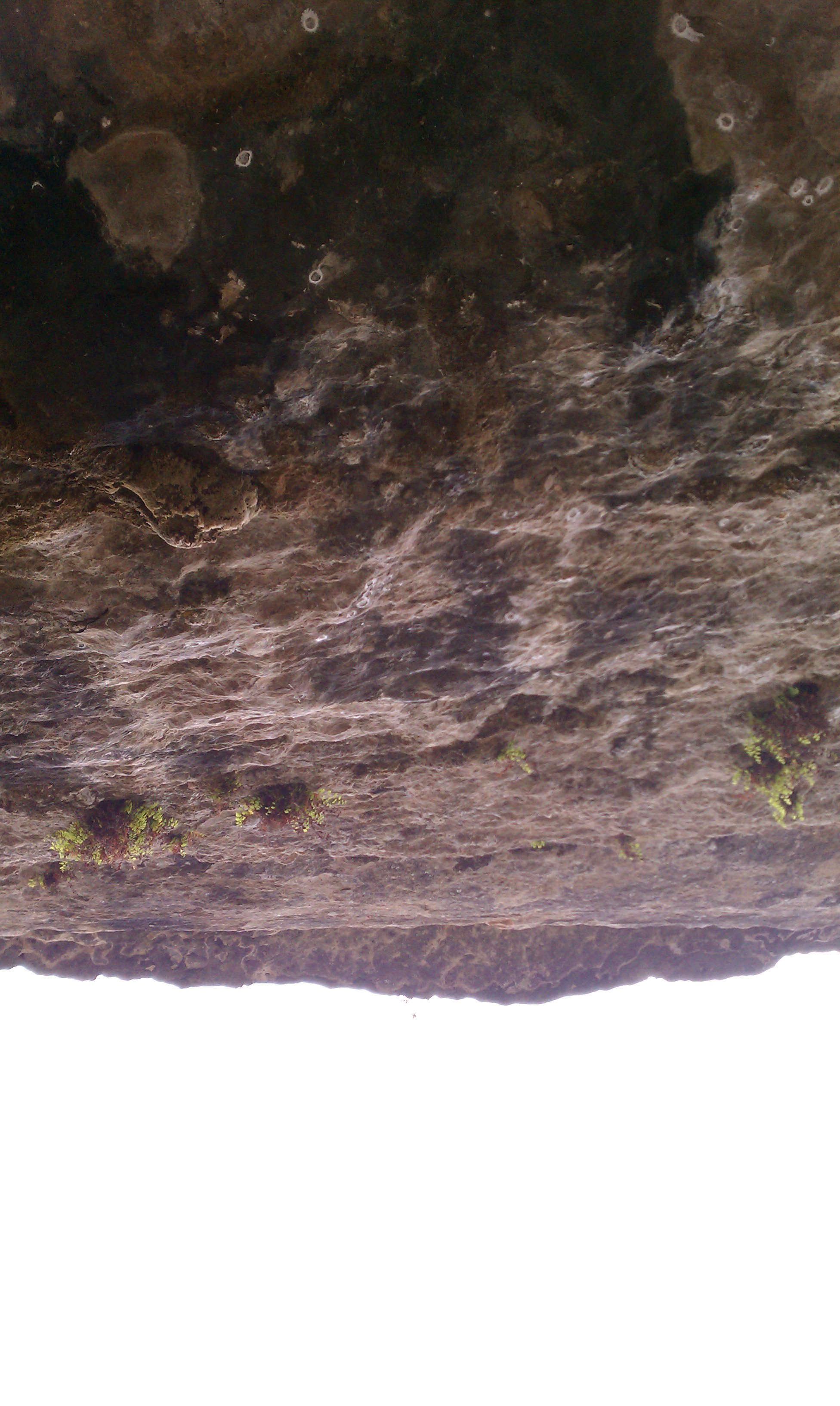
Looking up
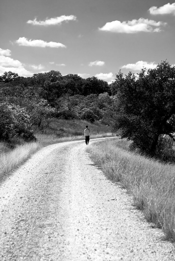
Eight mile hikes seem longer around the seventh mile.
Rebecca Creek
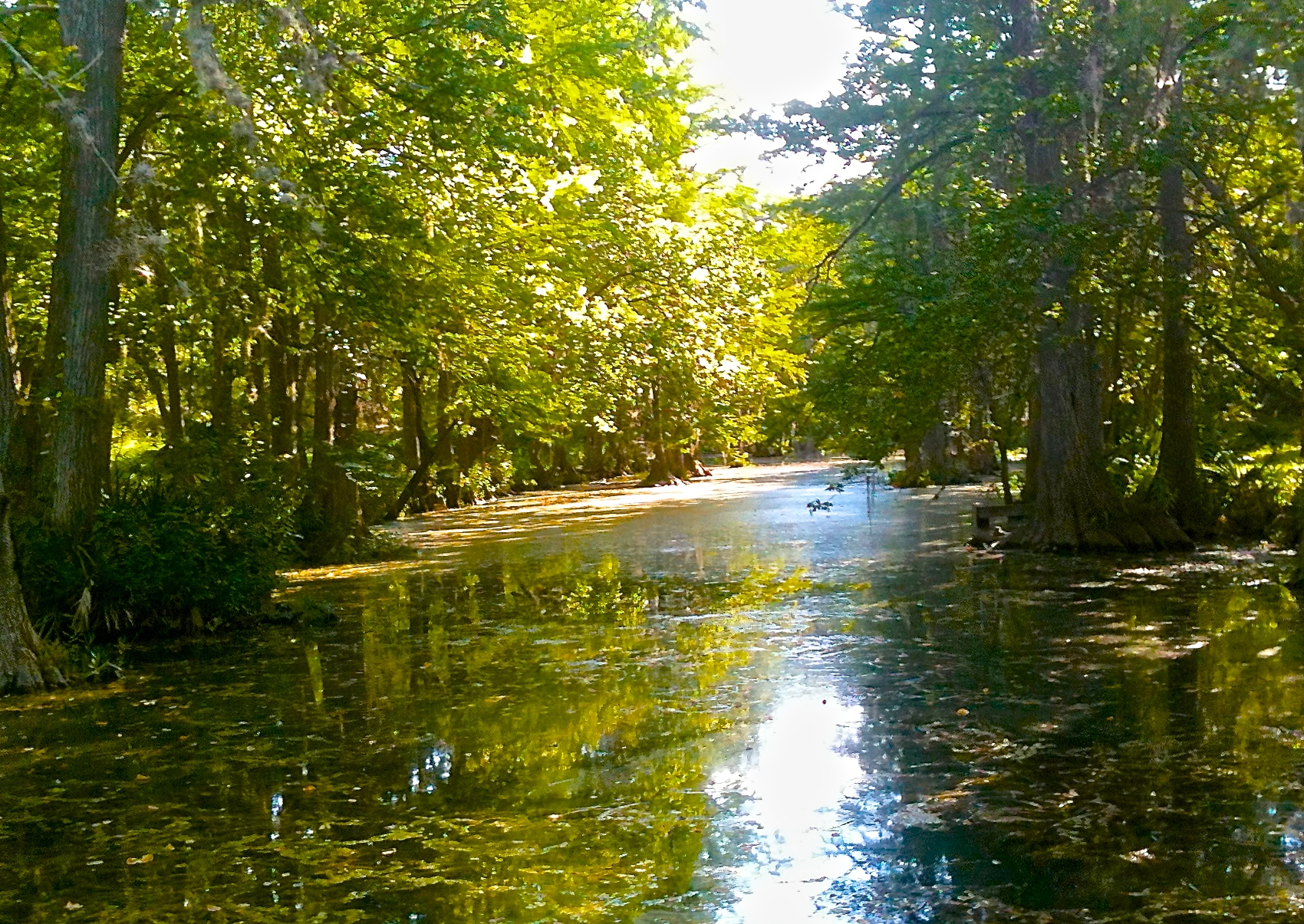
Guadalupe River
Guadalupe River State Park
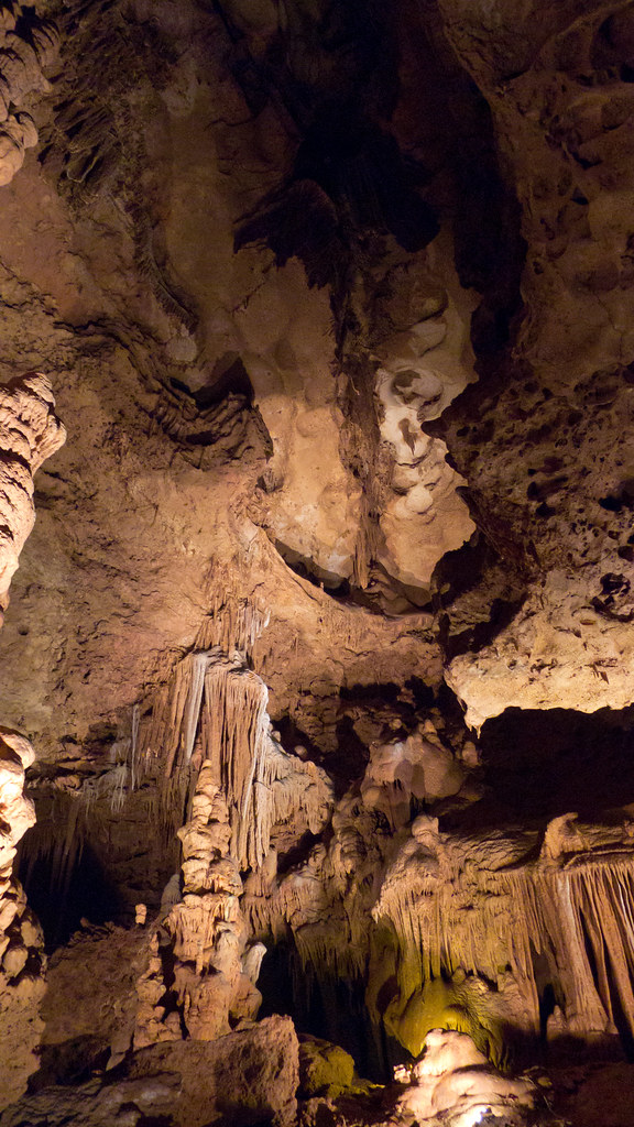
Cave Without a Name
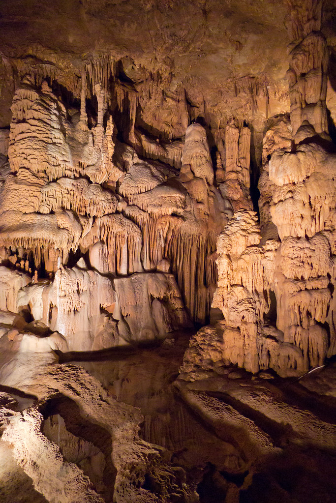
Cave Without a Name

Guadalupe River State Park

Guadalupe River State Park
A hidden gem out in Spring Branch, Tx. I'm thinking a photoshoot there would be nice. Anyone want to model? #guadaluperiver #springbranch #Texas #river #trees #sanantonio #satx #igsanantonio #instapic #instagram #naturephotography #nature #picoftheday #
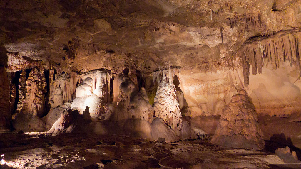
Cave Without a Name

Guadalupe River State Park HDR2

Guadalupe River
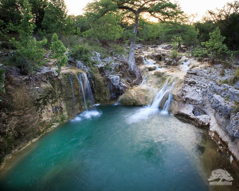
Lower Edge Falls
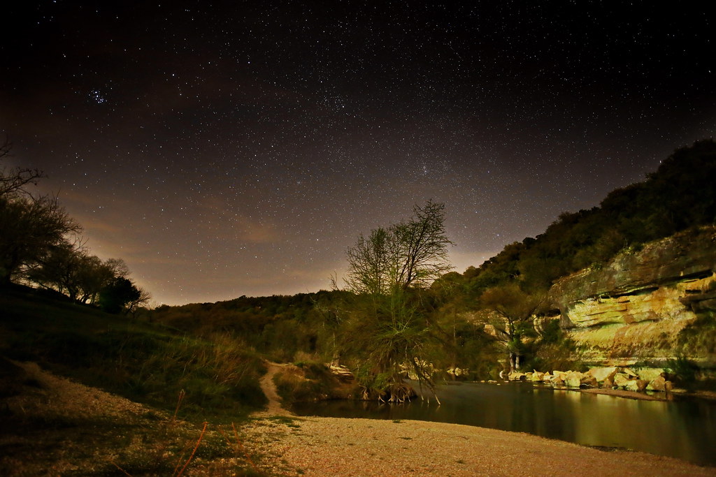
Guadalupe River Night Sky
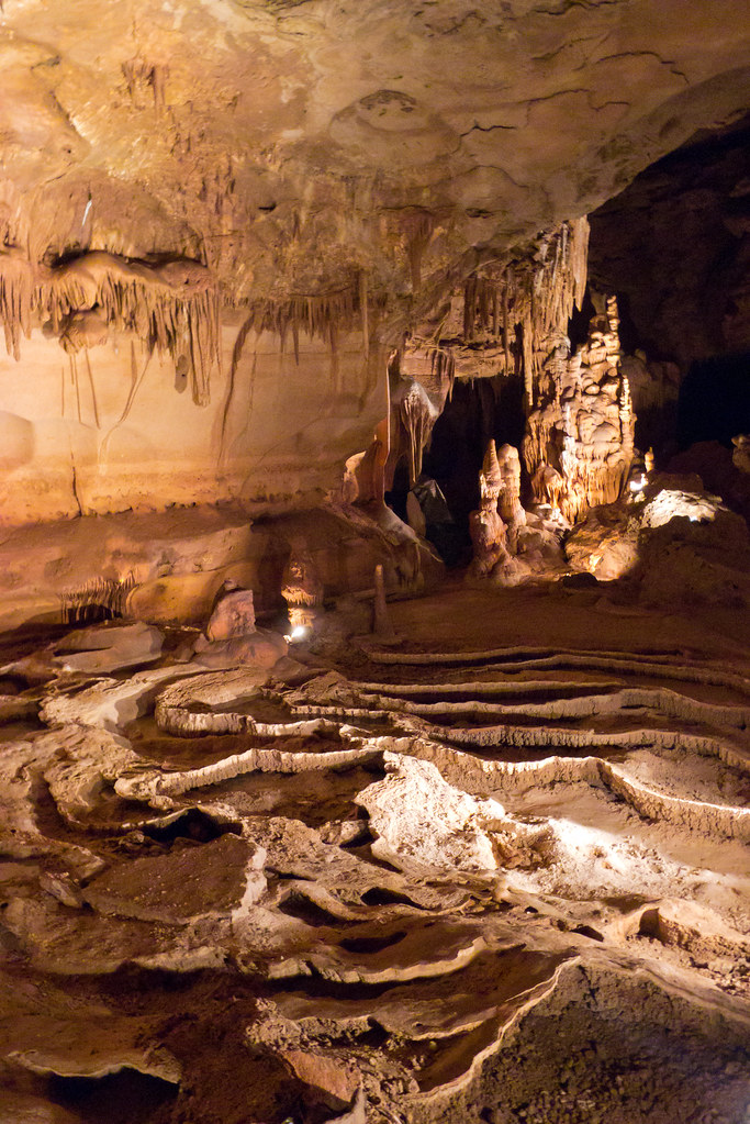
Cave Without a Name
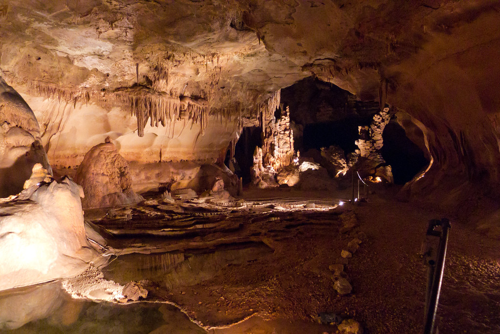
Cave Without a Name
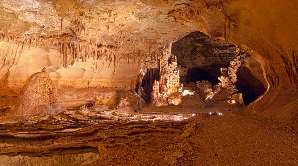
Cave Without a Name
Guadalupe River - @talentedmrjones and @chrisrxth
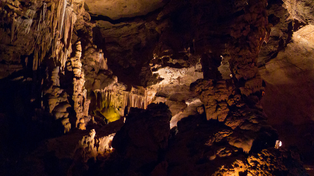
Cave Without a Name
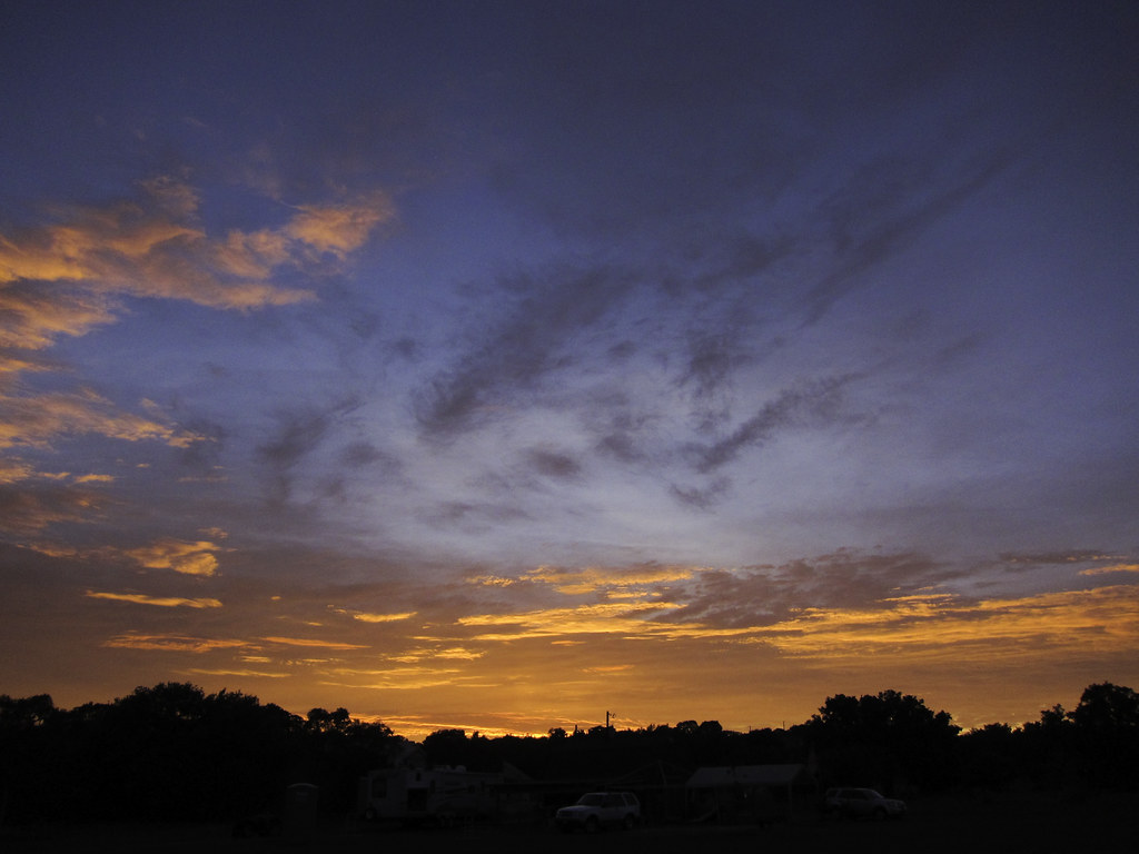
Texas Sunset
Topographic Map of Ranch Rd, Kendalia, TX, USA
Find elevation by address:

Places near Ranch Rd, Kendalia, TX, USA:
85 Rio Colorado
6541 Spring Branch Rd
1150 Deep Water Dr
1511 Deep Water Dr
Sleepy Hollow
116 Spring Valley Cove
128 Park Ridge
325 Kreutzberg Rd
315 Desert Quail
738 Loma Doble
TX-46, Bulverde, TX, USA
FM, Boerne, TX, USA
142 River Trail
110 River Trail
721 Cypress Bend Dr
Devils Hill
1001 Angels Hill Rd
448 Adeline Ln
1106 Sisterdale Rd
Mount Zion Fountain
Recent Searches:
- Elevation of Leguwa, Nepal
- Elevation of County Rd, Enterprise, AL, USA
- Elevation of Kolchuginsky District, Vladimir Oblast, Russia
- Elevation of Shustino, Vladimir Oblast, Russia
- Elevation of Lampiasi St, Sarasota, FL, USA
- Elevation of Elwyn Dr, Roanoke Rapids, NC, USA
- Elevation of Congressional Dr, Stevensville, MD, USA
- Elevation of Bellview Rd, McLean, VA, USA
- Elevation of Stage Island Rd, Chatham, MA, USA
- Elevation of Shibuya Scramble Crossing, 21 Udagawacho, Shibuya City, Tokyo -, Japan