Elevation of Ranch Boundary Dr, Waynesville, NC, USA
Location: United States > North Carolina > Haywood County > Waynesville > Waynesville >
Longitude: -83.064381
Latitude: 35.603565
Elevation: 1218m / 3996feet
Barometric Pressure: 88KPa
Elevation Map:
Satellite Map:
Related Photos:

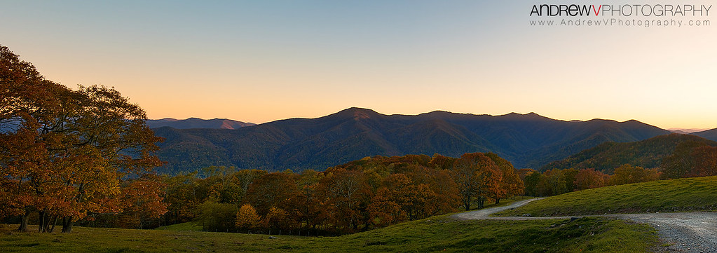
An EXTRAORDINARY View!
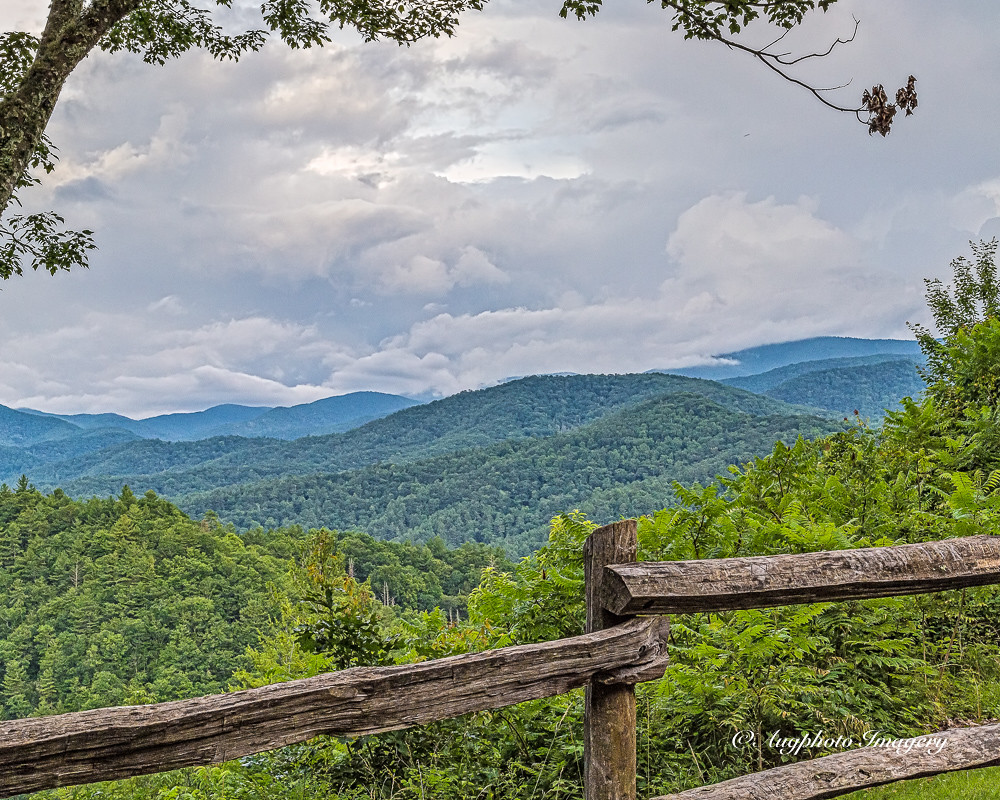
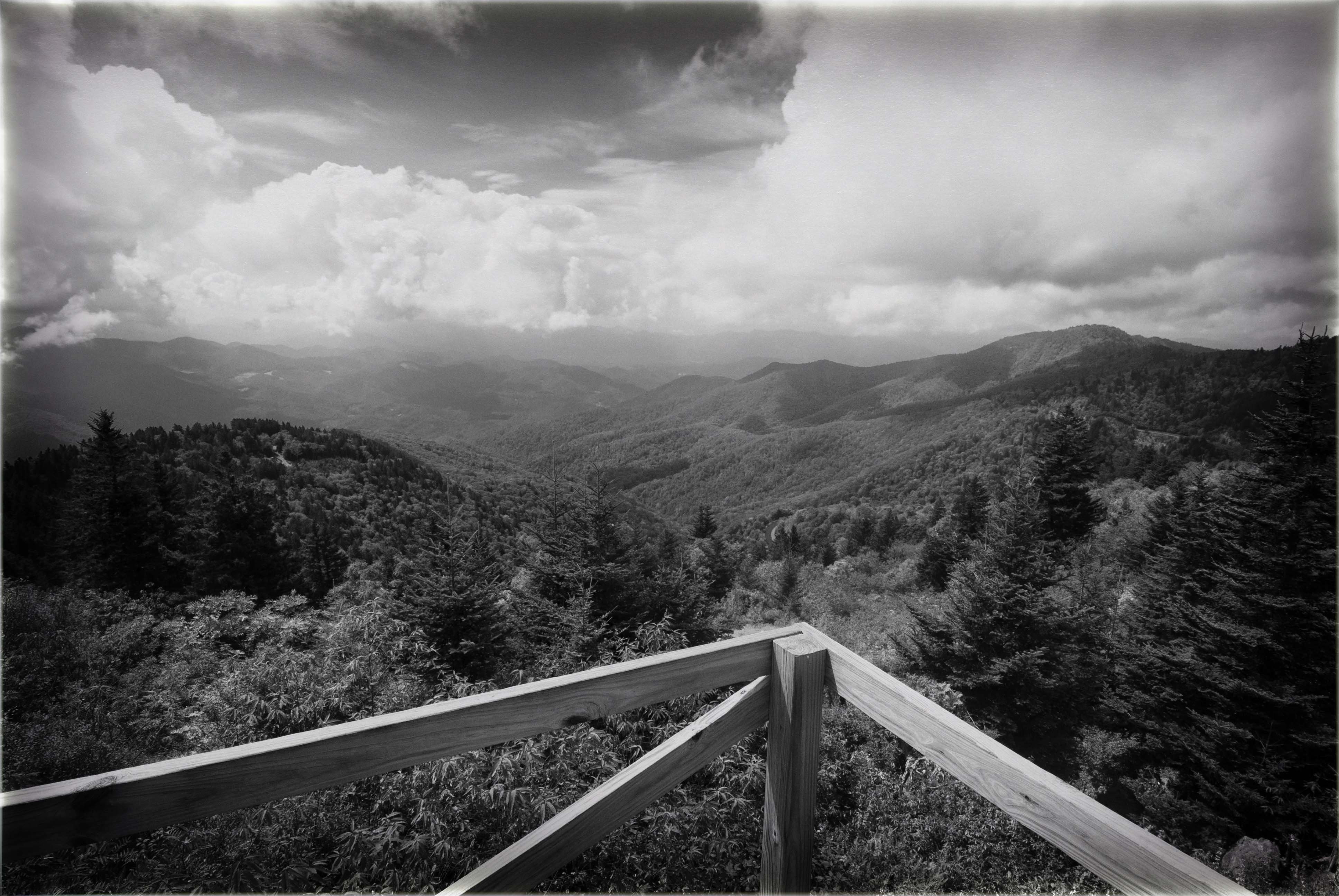
Cataloochee Valley View Over Fence
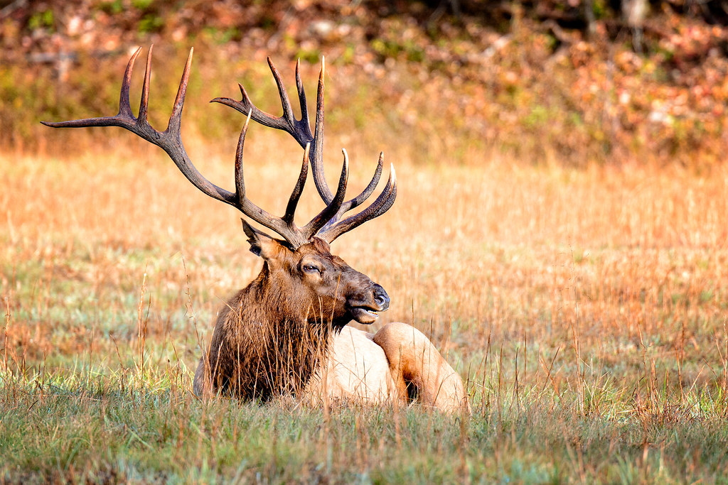
Cataloochee Elk-GSMNP

One Rose, Two Views 2

One Rose, Two Views 1
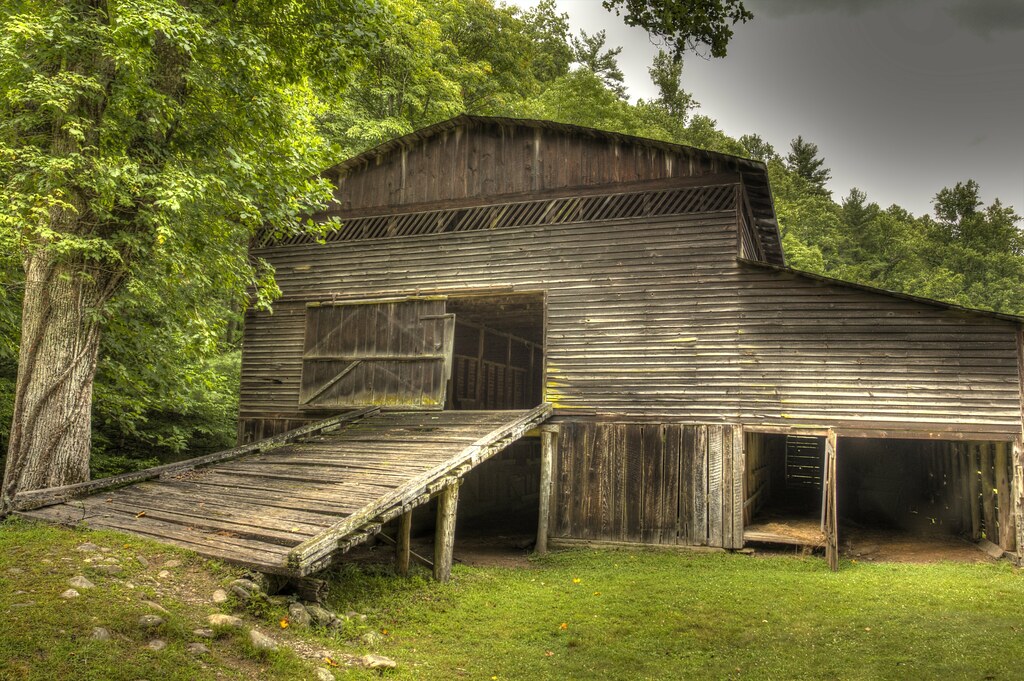
Palmer Barn Door
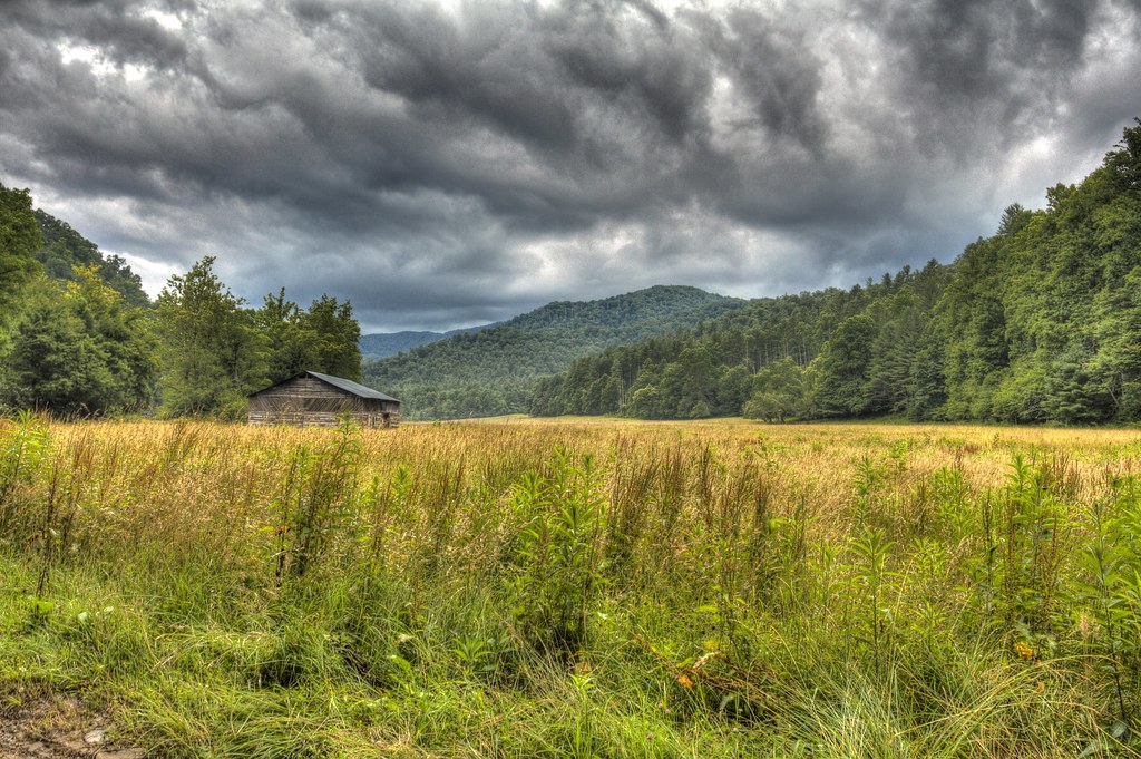
Cabin in the Field

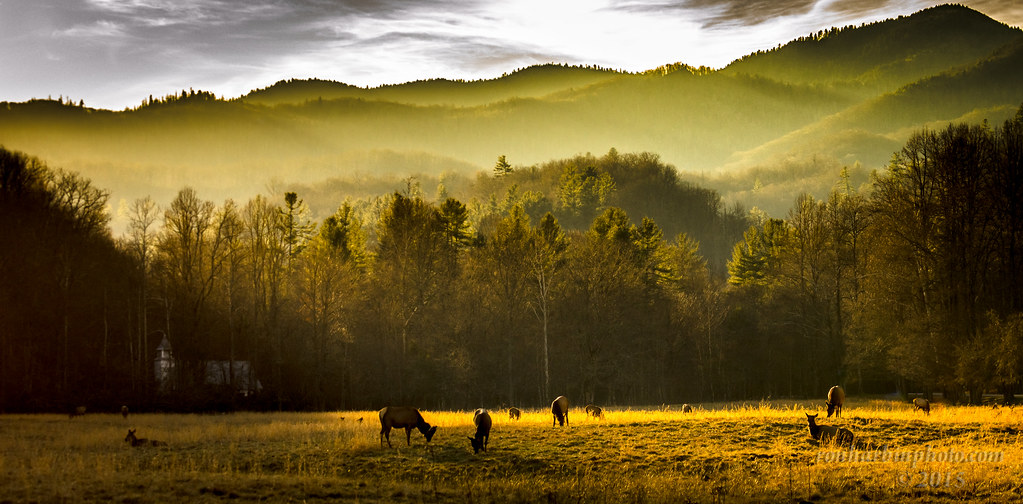
Elk Grazing in Little Cataloochee
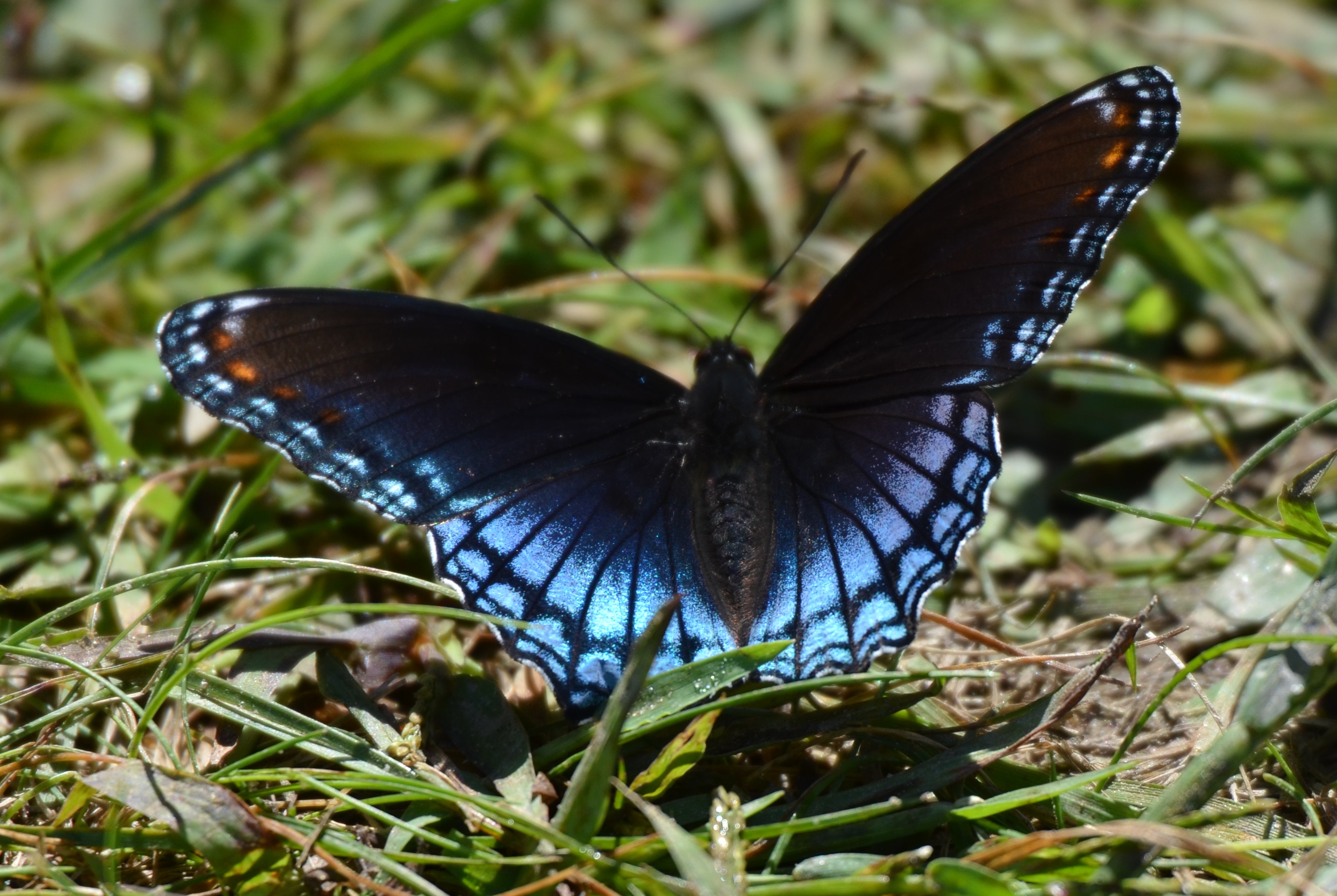
225e red spotted purple
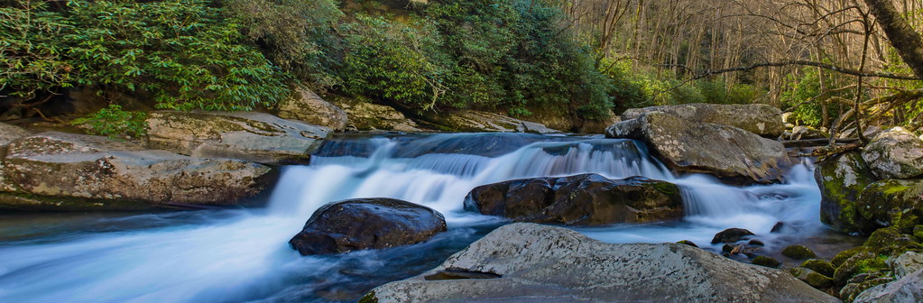
Falls on Big Creek

Max Patch, Ecclesiastes 3:11
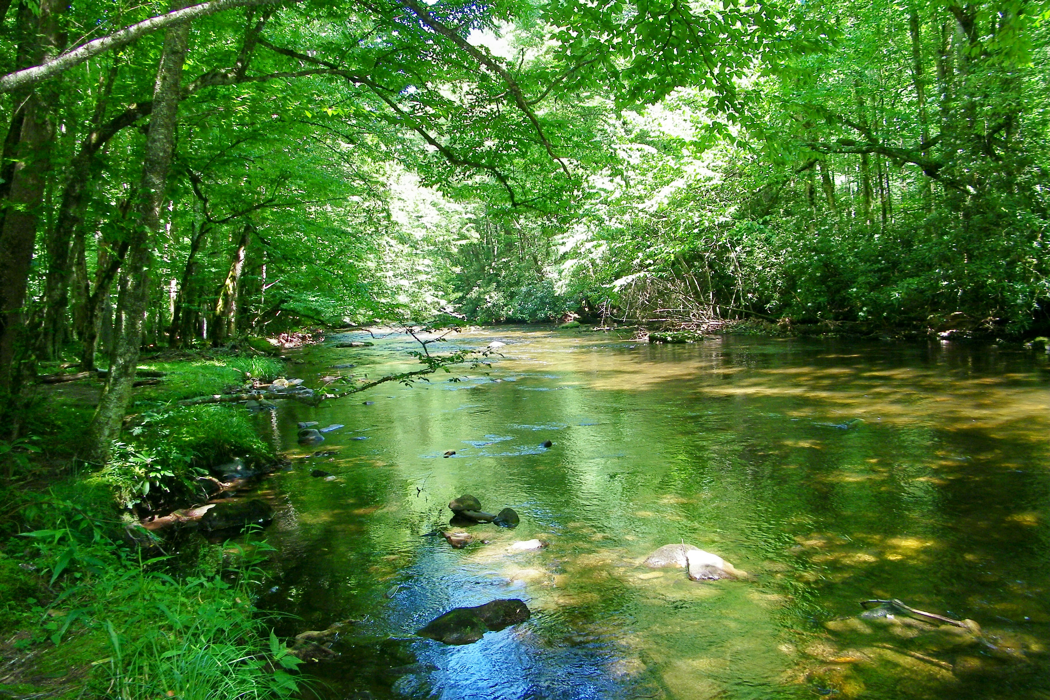
Cataloochee Creek
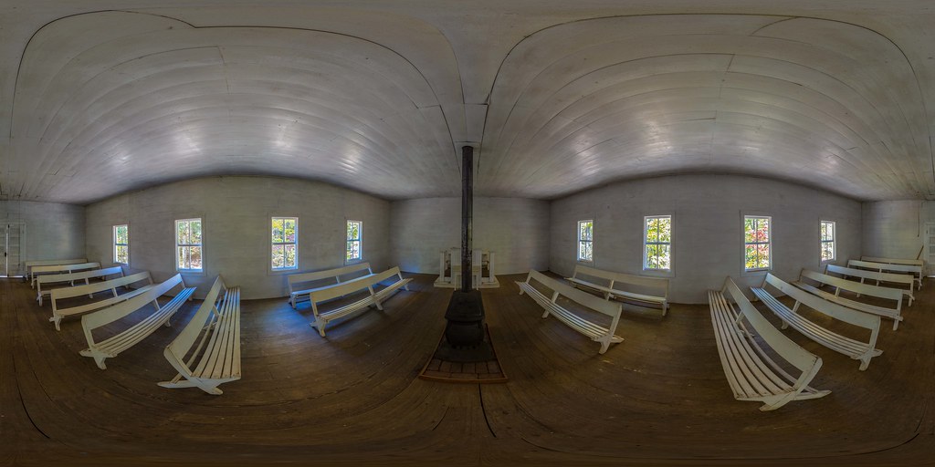
Little Cataloochee Baptist Church 1889 - open on PC for 360 view
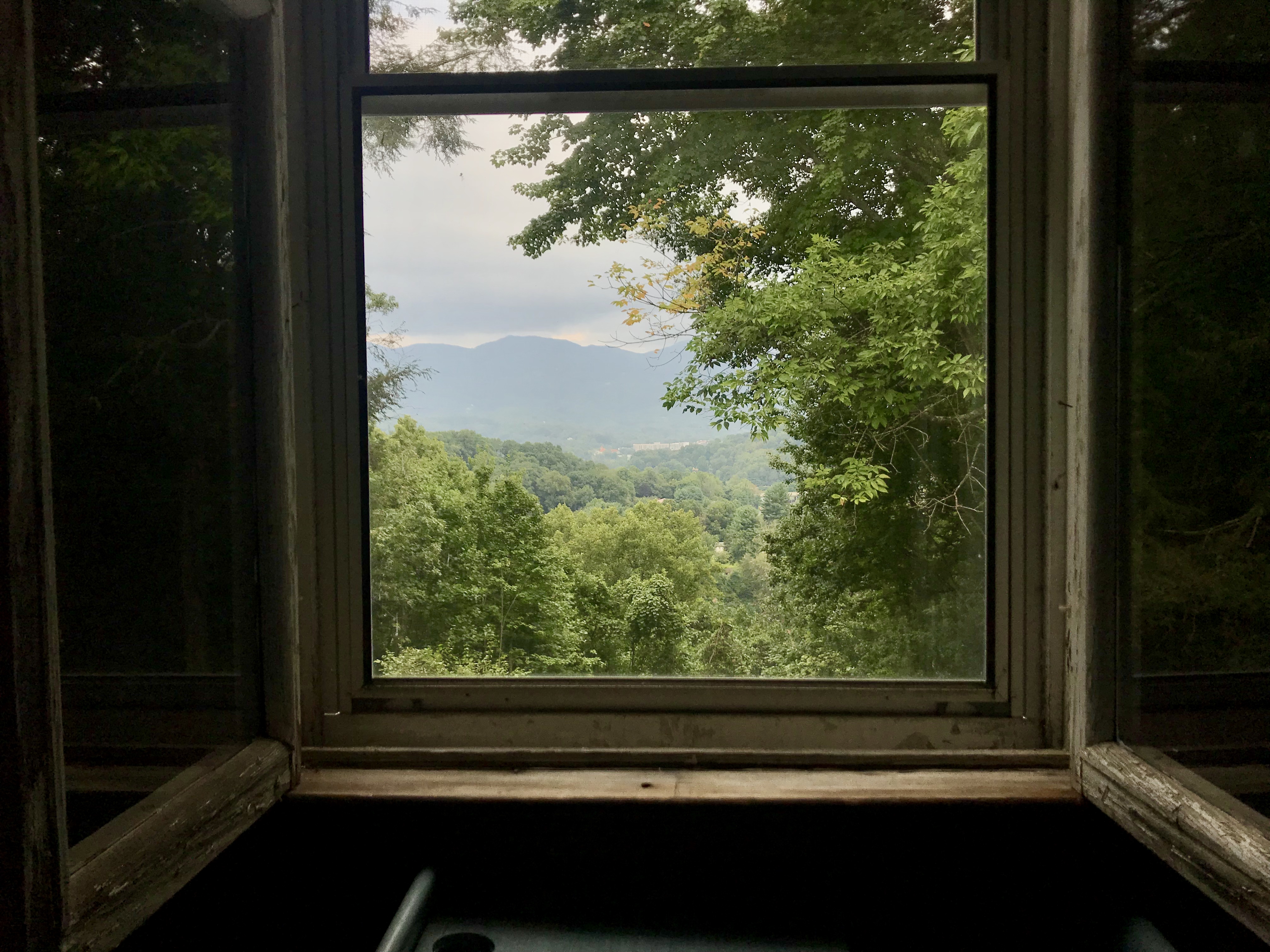
view from upstairs

Cataloochee Valley

TrackHead Studios - DO NOT TOUCH
Maggie Valley, NC

Max Patch, Romans 1:20
Profile View
Bears In The Mist ?

Max Patch, Isaiah 52:10

from here to there

tone gold
Waterrock Knob

North Carolina - Blue Ridge Parkway
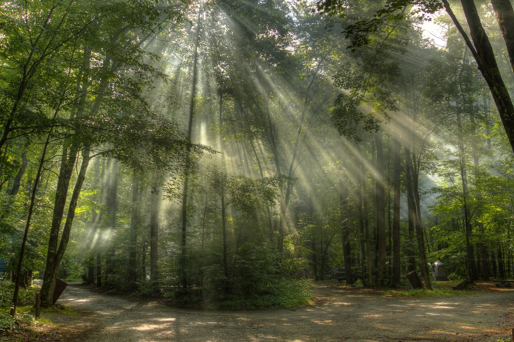
Sunlight in the Trees
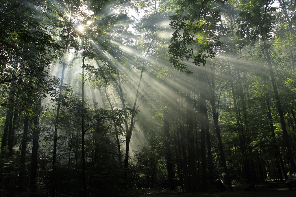
Light in the Forest
Maggie Valley NC
Near Maggie Valley, NC
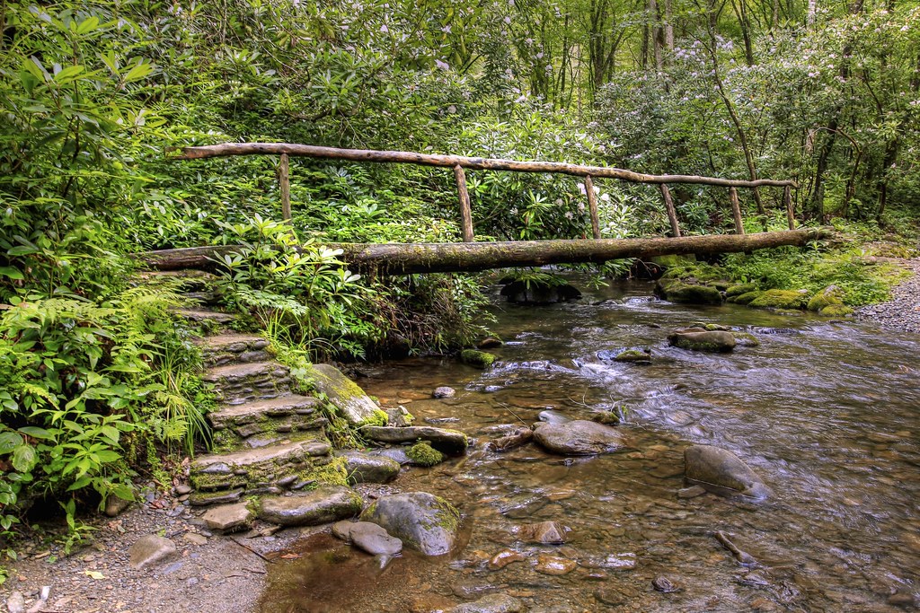
Bridge in the Woods

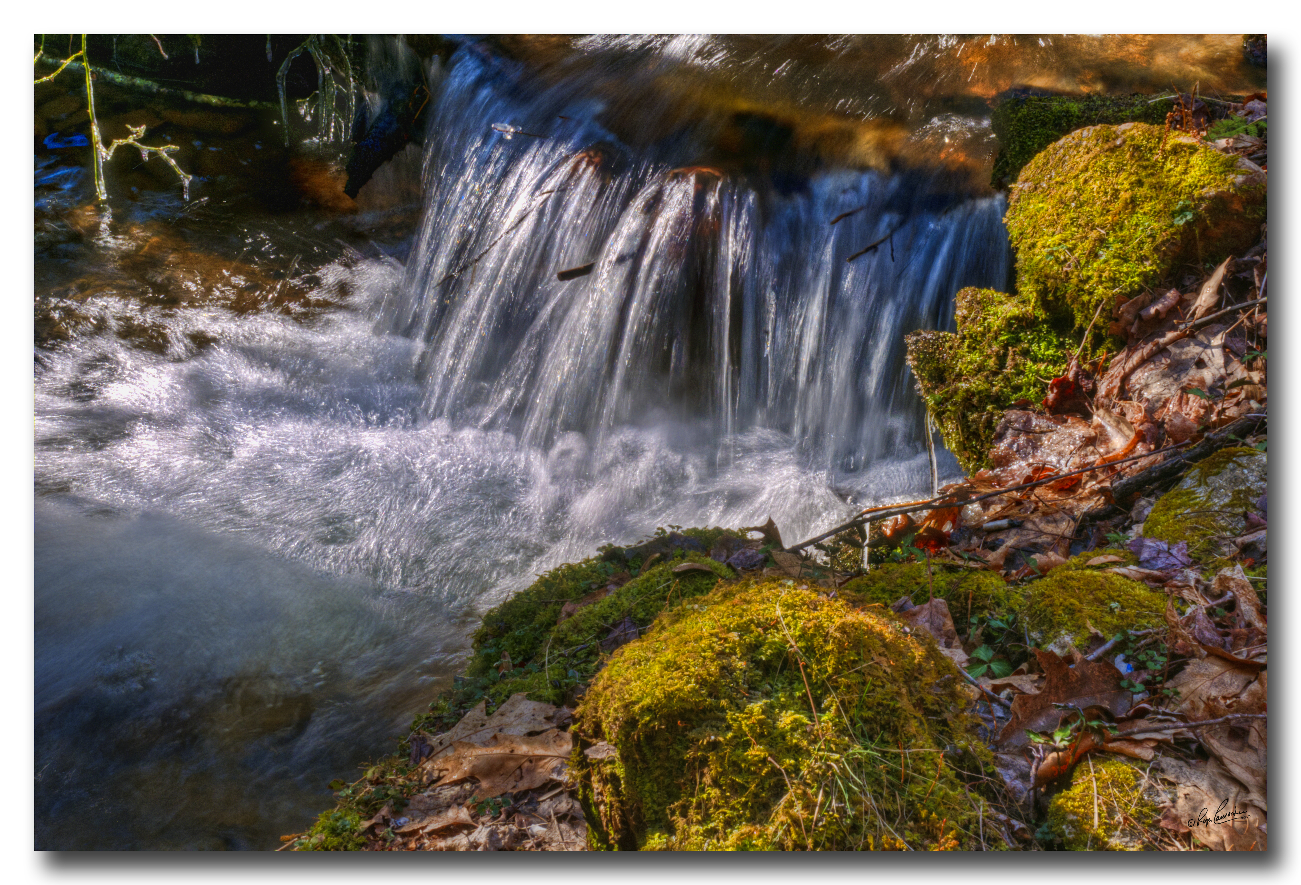
Icy Mountain Stream

Mountain Mornings
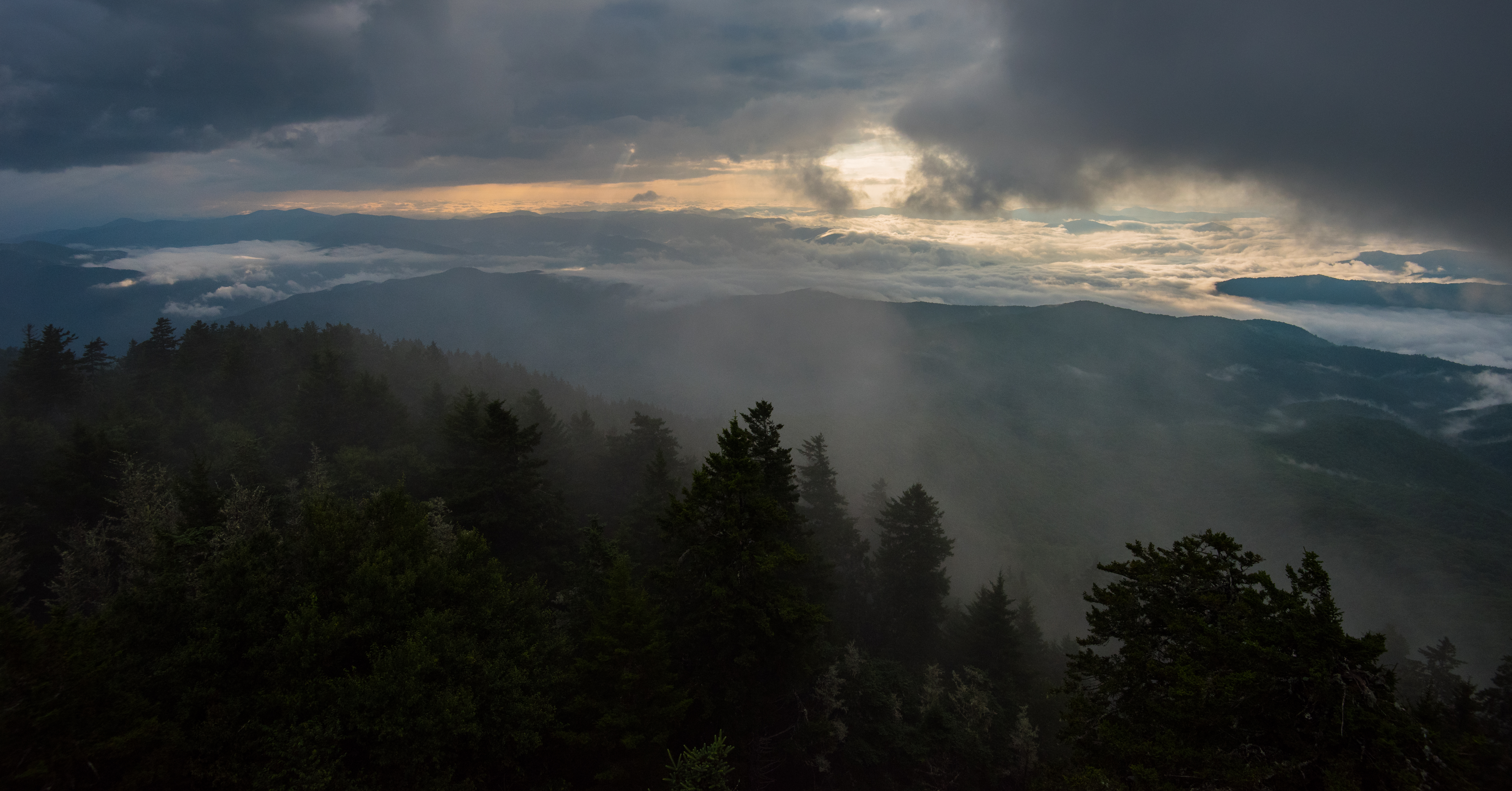
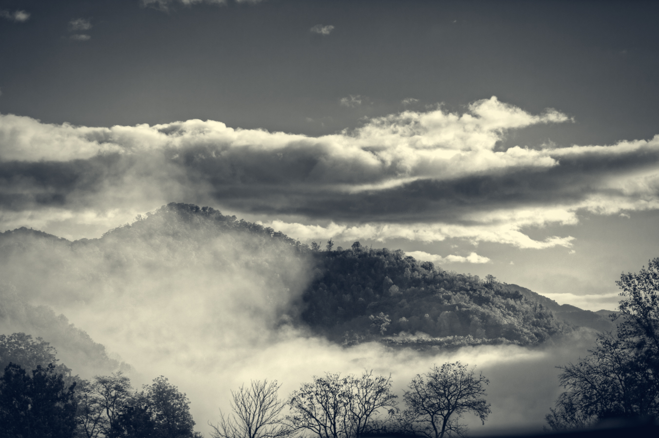
Clouds Below Mt Sterling, Great Smoky Mountains NP
Max Patch 03
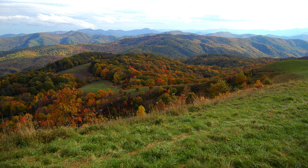
Hemphill Bald: June 10, 2017

Rainy Spring Day on Big Creek
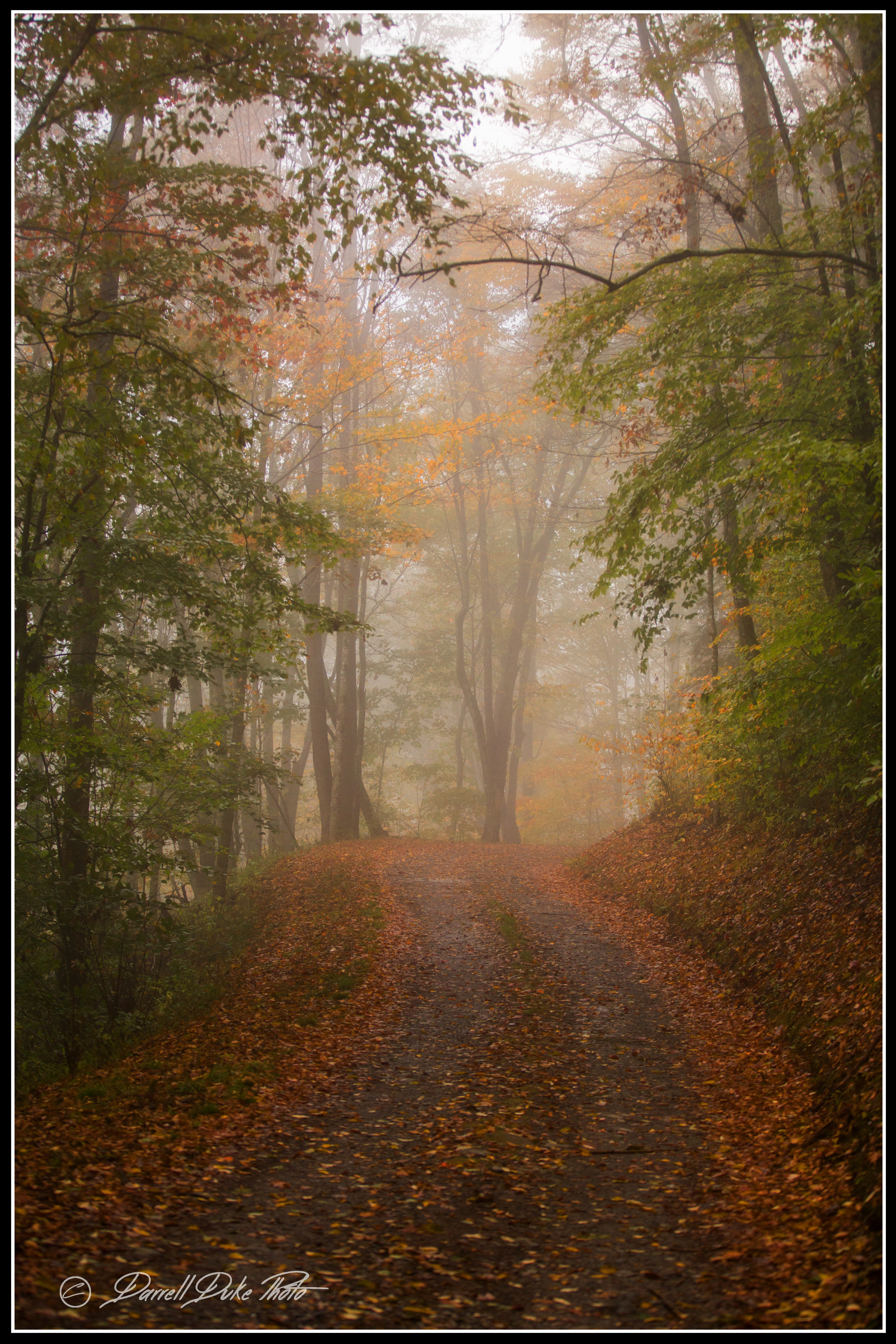
Into the Forest

Soco Falls

Blue Ridge Mountains, Psalm 104:32
SOCO FALLS
Topographic Map of Ranch Boundary Dr, Waynesville, NC, USA
Find elevation by address:

Places near Ranch Boundary Dr, Waynesville, NC, USA:
136 Atunyote Ridge
Panther Springs Gap Road
288 Forbidden Cove B15
Oswego Way
84 Wake Robin Rd
24 Creek Bend Ln
24 Creek Bend Ln
283 Medford Hannah Rd
4 Adcock Mountain Rd
Purchase Knob
Jonathan Creek
Sutton Town Road
Sutton Town Road
96 Boyd Mountain Rd
695 Medford Hannah Rd
283 Grapevine Cove
Boyd Mountain Road
Grapevine Cove
670 Live Oak Loop
202 Clydesdale Rd
Recent Searches:
- Elevation of W Granada St, Tampa, FL, USA
- Elevation of Pykes Down, Ivybridge PL21 0BY, UK
- Elevation of Jalan Senandin, Lutong, Miri, Sarawak, Malaysia
- Elevation of Bilohirs'k
- Elevation of 30 Oak Lawn Dr, Barkhamsted, CT, USA
- Elevation of Luther Road, Luther Rd, Auburn, CA, USA
- Elevation of Unnamed Road, Respublika Severnaya Osetiya — Alaniya, Russia
- Elevation of Verkhny Fiagdon, North Ossetia–Alania Republic, Russia
- Elevation of F. Viola Hiway, San Rafael, Bulacan, Philippines
- Elevation of Herbage Dr, Gulfport, MS, USA