Elevation of Ramblin River Rd, Clarkesville, GA, USA
Location: United States > Georgia > Habersham County > Clarkesville >
Longitude: -83.598037
Latitude: 34.7336683
Elevation: 510m / 1673feet
Barometric Pressure: 95KPa
Elevation Map:
Satellite Map:
Related Photos:

Leading Light

Raper Creek Falls

Crow Creek Falls

Wildcat Creek Falls

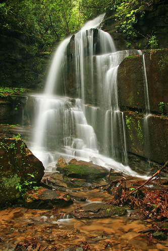
Raper Creek Falls

Sibling Falls

High Shoals Falls.

Crow Creek Falls

Minnehaha Falls

Raper Creek Falls

Blue Hole Falls

Minnehaha Falls

Minnehaha Falls

Backlight...

Raper Creek Falls

Raper Creek Falls

Crow Creek Falls

High Shoals Falls

Bad Branch Falls

Minnehaha Falls

Raper Creek Falls

Panther Falls
Bad Branch Falls

IMG_7491-090614

Lower Crow Creek Falls
Topographic Map of Ramblin River Rd, Clarkesville, GA, USA
Find elevation by address:

Places near Ramblin River Rd, Clarkesville, GA, USA:
GA-, Clarkesville, GA, USA
338 Mountain View Lane
821 Mountain View Ln
Oak Haven
Wikle Store
395 Doe Heights
125 Jeremy Trail
110 Seye Wailo Trail
2850 Oakey Mountain Rd
161 Windy Gap Rd
Goshen Creek Road
Oakey Mountain Road
325 Foggy Creek Ln
Oakey Mountain
105 Dockside Dr
40 Racoon Rd
Raccoon Rd., Sautee Nacoochee
Sky Lake Road
3044 Sky Lake Rd
Burton Woods Cabins & Lodge
Recent Searches:
- Elevation of Steadfast Ct, Daphne, AL, USA
- Elevation of Lagasgasan, X+CQH, Tiaong, Quezon, Philippines
- Elevation of Rojo Ct, Atascadero, CA, USA
- Elevation of Flagstaff Drive, Flagstaff Dr, North Carolina, USA
- Elevation of Avery Ln, Lakeland, FL, USA
- Elevation of Woolwine, VA, USA
- Elevation of Lumagwas Diversified Farmers Multi-Purpose Cooperative, Lumagwas, Adtuyon, RV32+MH7, Pangantucan, Bukidnon, Philippines
- Elevation of Homestead Ridge, New Braunfels, TX, USA
- Elevation of Orchard Road, Orchard Rd, Marlborough, NY, USA
- Elevation of 12 Hutchinson Woods Dr, Fletcher, NC, USA