Elevation of Rajsamand, Rajasthan, India
Location: India > Rajasthan > Rajsamand >
Longitude: 73.8830701
Latitude: 25.0714851
Elevation: 547m / 1795feet
Barometric Pressure: 95KPa
Elevation Map:
Satellite Map:
Related Photos:
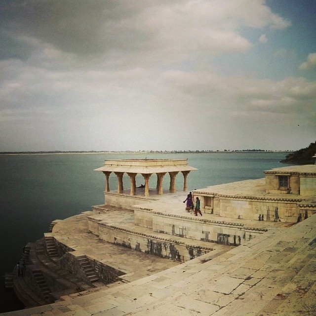
Rajsamand Lake View...

BC1_0875 - Version 2

BC1_0876 - Version 2
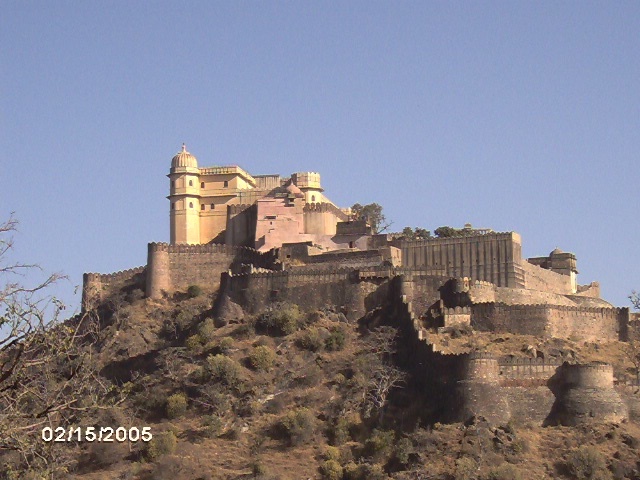
Kumbalgarth Fort, Rajsamand District
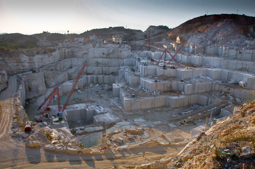
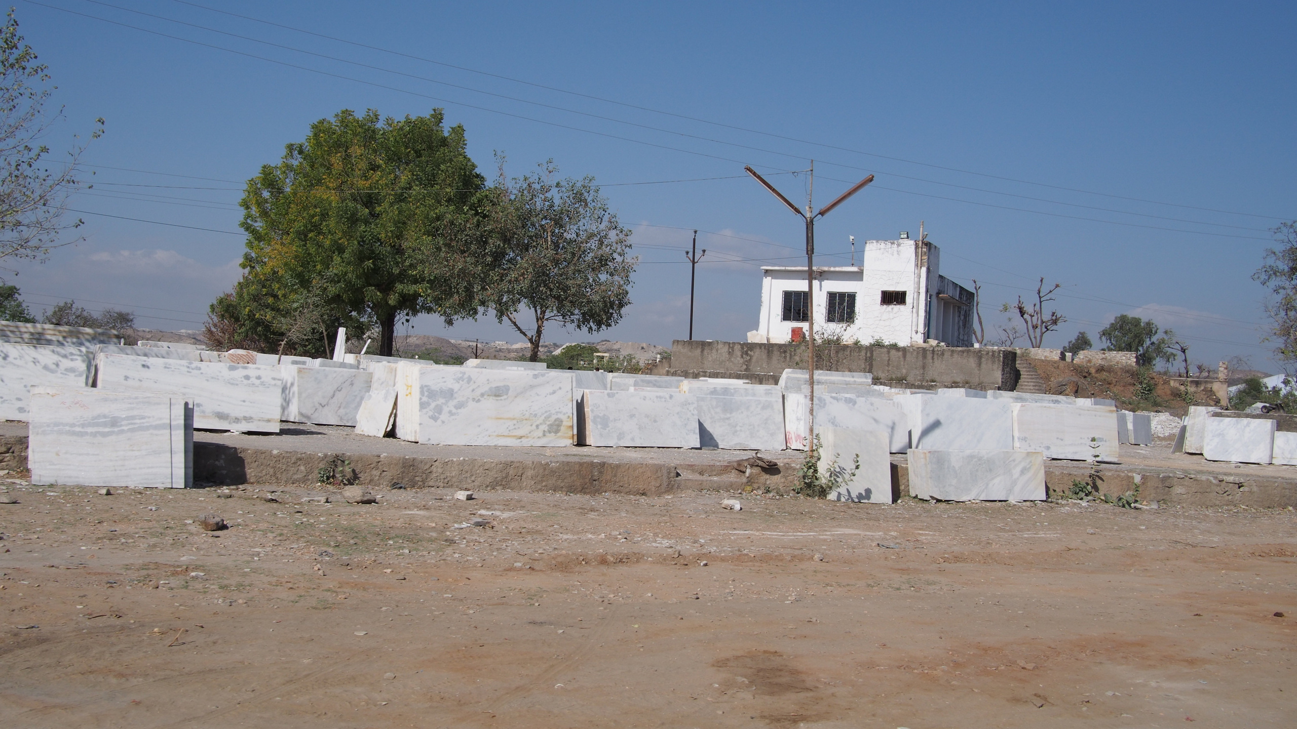
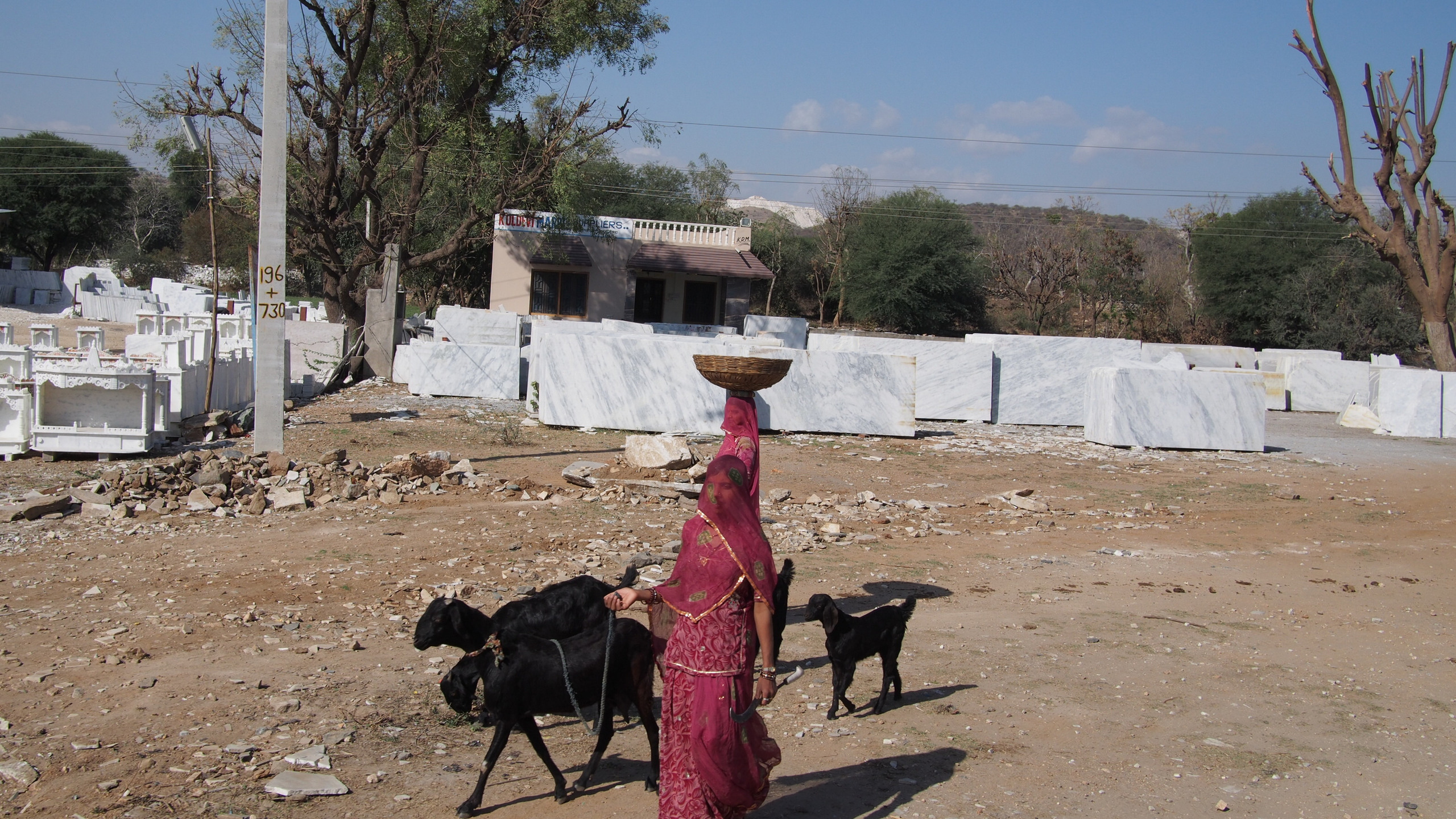
Marble mines near Udaipur

Irrigation Garden
Irrigation Garden

Irrigation Garden
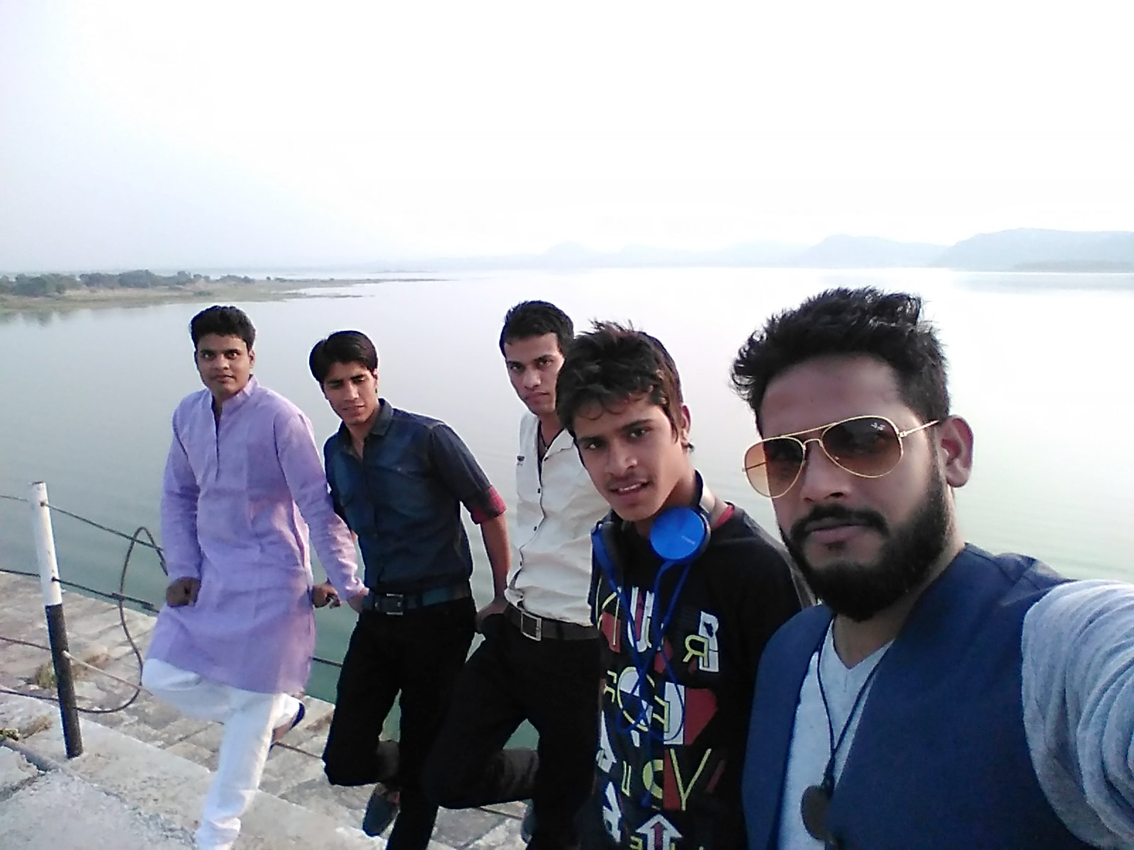
Rajsamand Lake
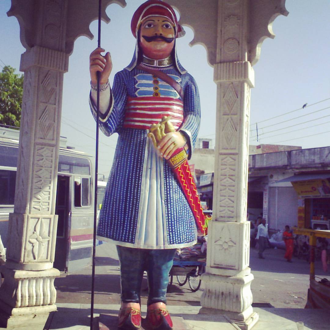
#MahaRanaPratap #Kika #Statue #Legendary #Great #Warrior #Royal #King #Pride #Rajasthani #Ruler of #Chittorgarh #Kingdom #Mewar #Respect

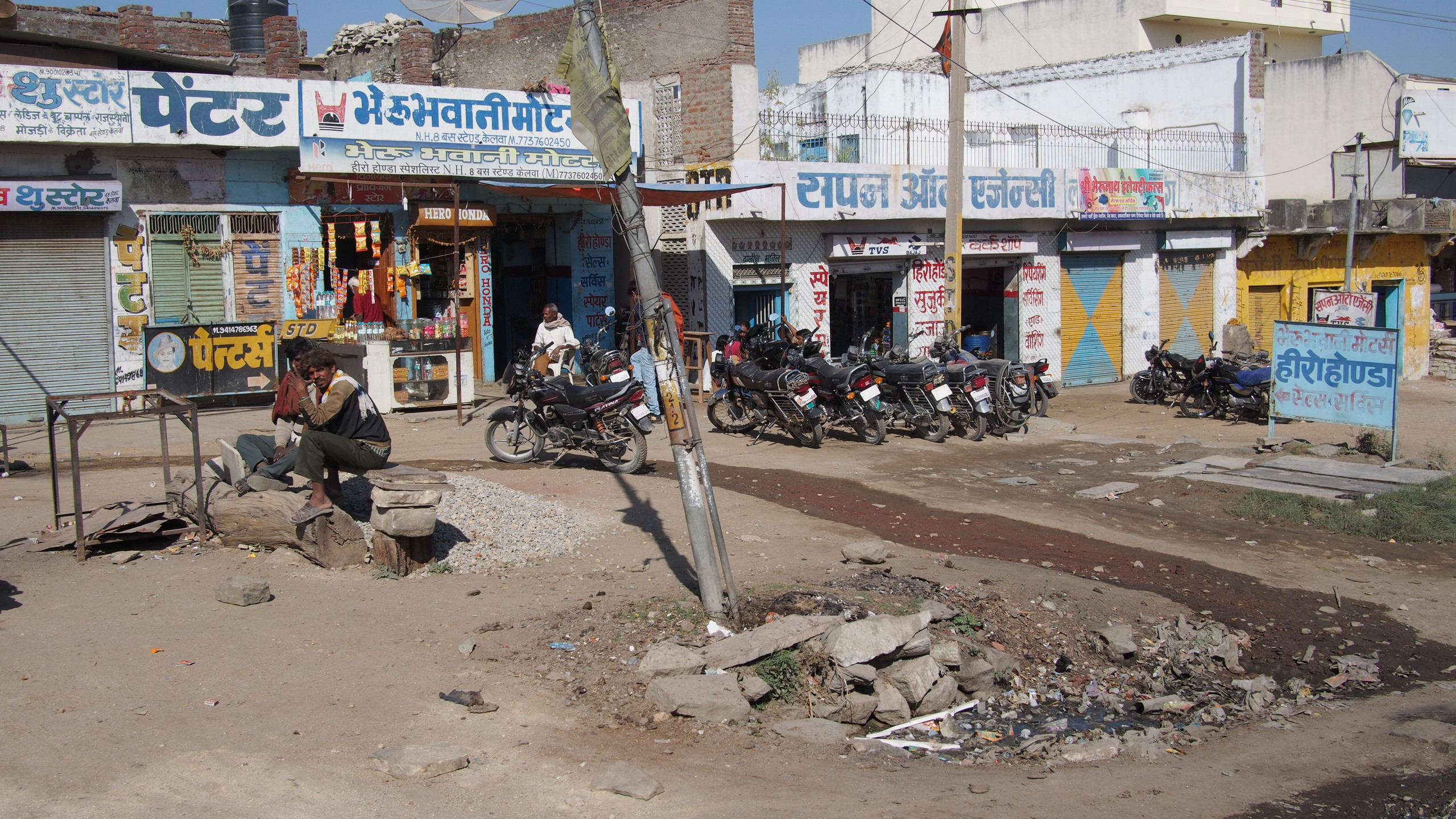
Our noisy, un-airconditioned bus ride from Jodhpur to Udaipur

Love Rajasthan 2011 #love #snake #mating #wild #wildlife #lookback #travelogue #travelstories #traveldiaries #traveler #travel #wanderlust #wanderer #incredibleindia #nature #analogfeatures #analog #analogcamera #filmphotography #filmcamera #35mm #35mmfi

My Mad + Lovely Sisters.
Frenetic city life in India time lapse.
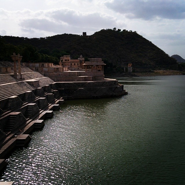
The great Lakes of Rajsamand near Udaipur, rajasthan
Pushkar-08

11-10u31m04s-19
11-10u28m31s-18
11-10u22m26s-16
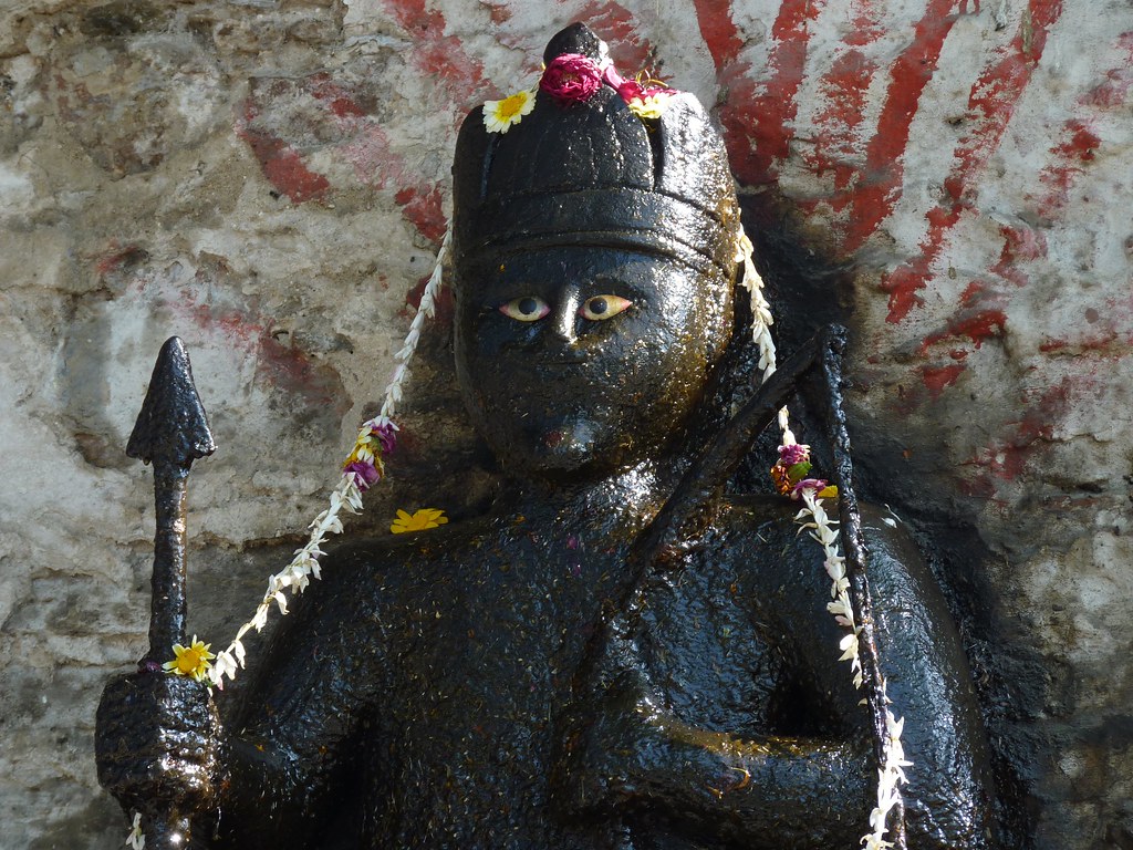
Krishna roadside shrine at Nathdwara, Rajasthan
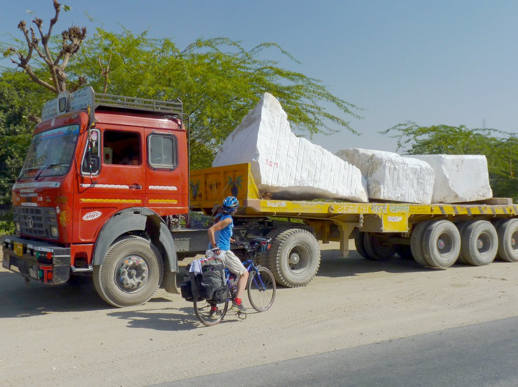
Hauling quarried marble, north of Nathdwara, Rajasthan
Topographic Map of Rajsamand, Rajasthan, India
Find elevation by address:

Places near Rajsamand, Rajasthan, India:
Rajsamand
Delwara
Raas Devigarh
Kapasan
Udaipur
City Palace
Pichola
Lake Pichola
Dudh Talai
Balicha
Dungla
Bhadesar
Nana
Awarda
Bari Sadri
Udaipur
Vijaynagar
Abhapur
Recent Searches:
- Elevation of Slanický ostrov, 01 Námestovo, Slovakia
- Elevation of Spaceport America, Co Rd A, Truth or Consequences, NM, USA
- Elevation of Warwick, RI, USA
- Elevation of Fern Rd, Whitmore, CA, USA
- Elevation of 62 Abbey St, Marshfield, MA, USA
- Elevation of Fernwood, Bradenton, FL, USA
- Elevation of Felindre, Swansea SA5 7LU, UK
- Elevation of Leyte Industrial Development Estate, Isabel, Leyte, Philippines
- Elevation of W Granada St, Tampa, FL, USA
- Elevation of Pykes Down, Ivybridge PL21 0BY, UK