Elevation of Rajgir, Bihar, India
Location: India > Bihar > Nalanda >
Longitude: 85.4161642
Latitude: 25.0172573
Elevation: 77m / 253feet
Barometric Pressure: 100KPa
Elevation Map:
Satellite Map:
Related Photos:

heartbreaking India

Rajgir 13 top of Shanti Stupa

Rajgir 7 - International Convention Centre

Rajgir 17 Vultures peak - Gridhakuta

Rajgir 4 Vipulagiri, Suraj Kund and Chandrama Kund

Rajgir 12 - hills pano

Rajgir 11 Vipula Hill

Rajgir 8 - Veerayatan
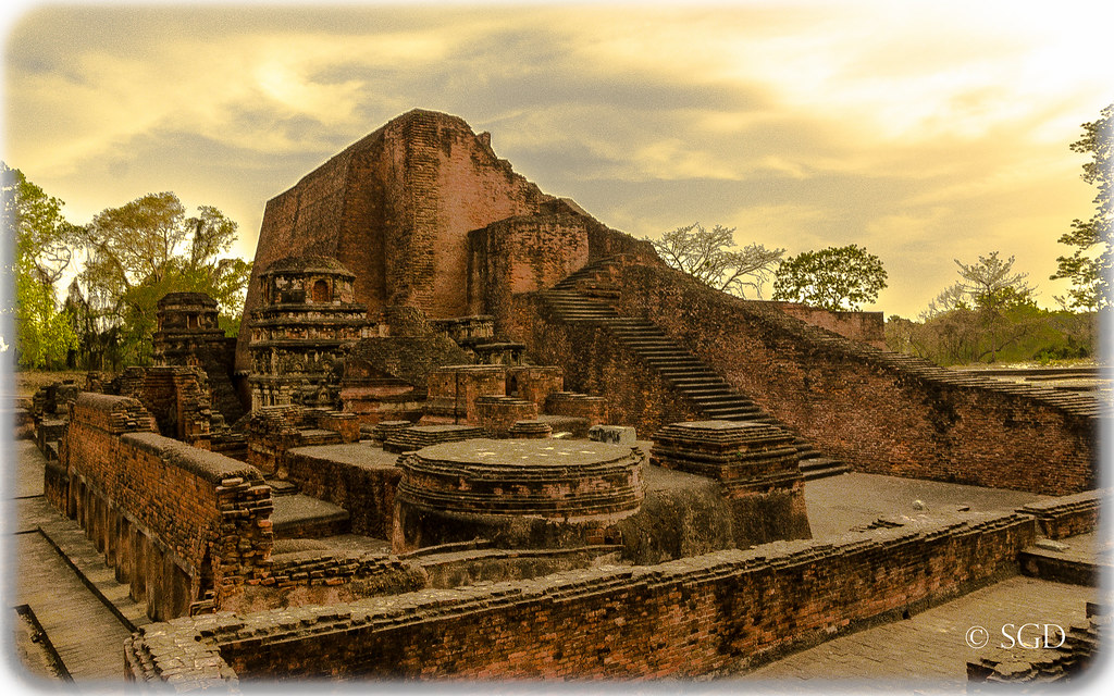
Sariputta Stupa, Nalanda University

Rajgir 5 Surya kund

Rajgir 6 Surya kund

Rajgir 22 Vulture peak - Gridhakuta

Rajgir 24 pano

Rajgir 19

... where knowledge is free ... (A line of a poem by Rabindranath Tagore) A view of ruins of Nalanda University, Bihar #बिहार #दिवस 22nd #March #education #free #nalanda #mahavihara #vishwavidyalaya #ruins #archelogy #ancient #india #university #famo

CSP_3622.JPG

CSP_3591.JPG
CSP_3612.JPG

CSP_3590.JPG

CSP_3593.JPG

CSP_3627.JPG

Landscape in the Mist

Rajgir 15 ropeway

Rajgir 3 Laxminarayan temple complex, former Tapodarama

CSP_3589.JPG

CSP_3607.JPG

Nalanda 08 Sariputta stupa

Guarding Our Border.....
Meditation Area

Rajgir 20 bad pano

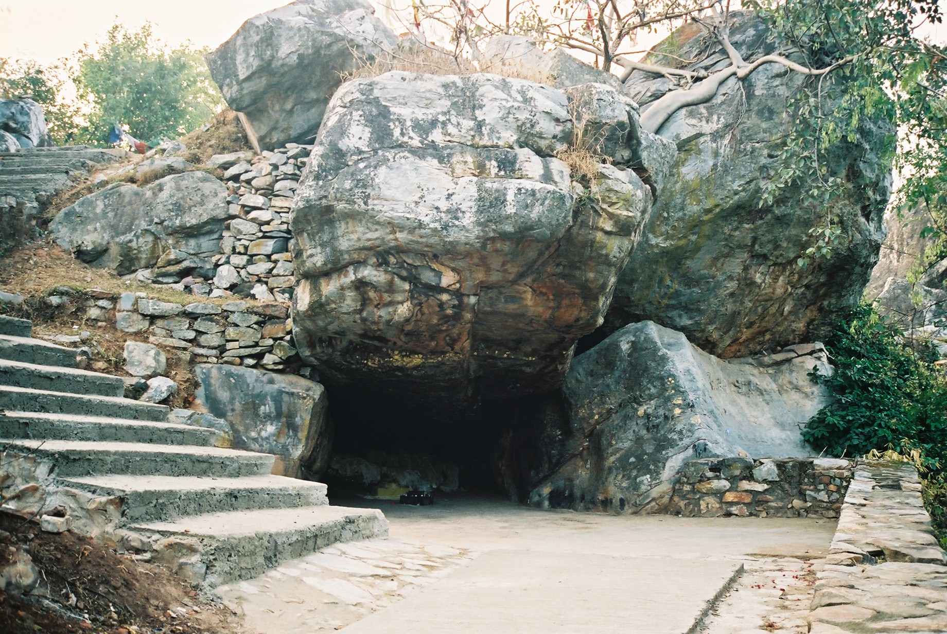
Caves at Vulture's Peak, Rajgir

Rutted Road
Topographic Map of Rajgir, Bihar, India
Find elevation by address:

Places in Rajgir, Bihar, India:
Places near Rajgir, Bihar, India:
Rajgir Kund
Bihar
Nawada
Kunj Niketan
Bihar Sharif
Kaghzi Mohalla
Nalanda
Nawada
Barbigha
Jehanabad
Dungeshwari
Gaya
Jahanabad
Gujhandi
Tekari
Koderma
Gaya
Barhi
Itkhori Chatti
Itkori
Recent Searches:
- Elevation of Congressional Dr, Stevensville, MD, USA
- Elevation of Bellview Rd, McLean, VA, USA
- Elevation of Stage Island Rd, Chatham, MA, USA
- Elevation of Shibuya Scramble Crossing, 21 Udagawacho, Shibuya City, Tokyo -, Japan
- Elevation of Jadagoniai, Kaunas District Municipality, Lithuania
- Elevation of Pagonija rock, Kranto 7-oji g. 8"N, Kaunas, Lithuania
- Elevation of Co Rd 87, Jamestown, CO, USA
- Elevation of Tenjo, Cundinamarca, Colombia
- Elevation of Côte-des-Neiges, Montreal, QC H4A 3J6, Canada
- Elevation of Bobcat Dr, Helena, MT, USA