Elevation of Railey Rd, Summerville, GA, USA
Location: United States > Georgia > Chattooga County > Summerville >
Longitude: -85.413896
Latitude: 34.531756
Elevation: 226m / 741feet
Barometric Pressure: 99KPa
Elevation Map:
Satellite Map:
Related Photos:

Forgot to take any photos of...

Impressionist - Little Red Boathouse
view atop Pigeon Mountain. while eating a peanut butter and jelly sandwich.

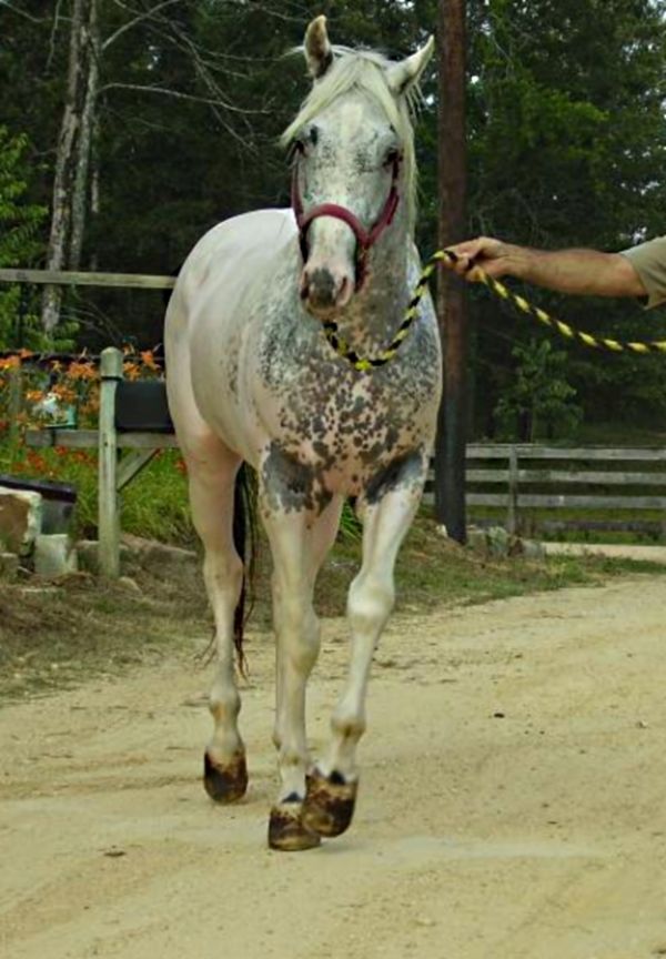
Black Fewspot Leopard 93%fpdeligible Appaloosa Stallion

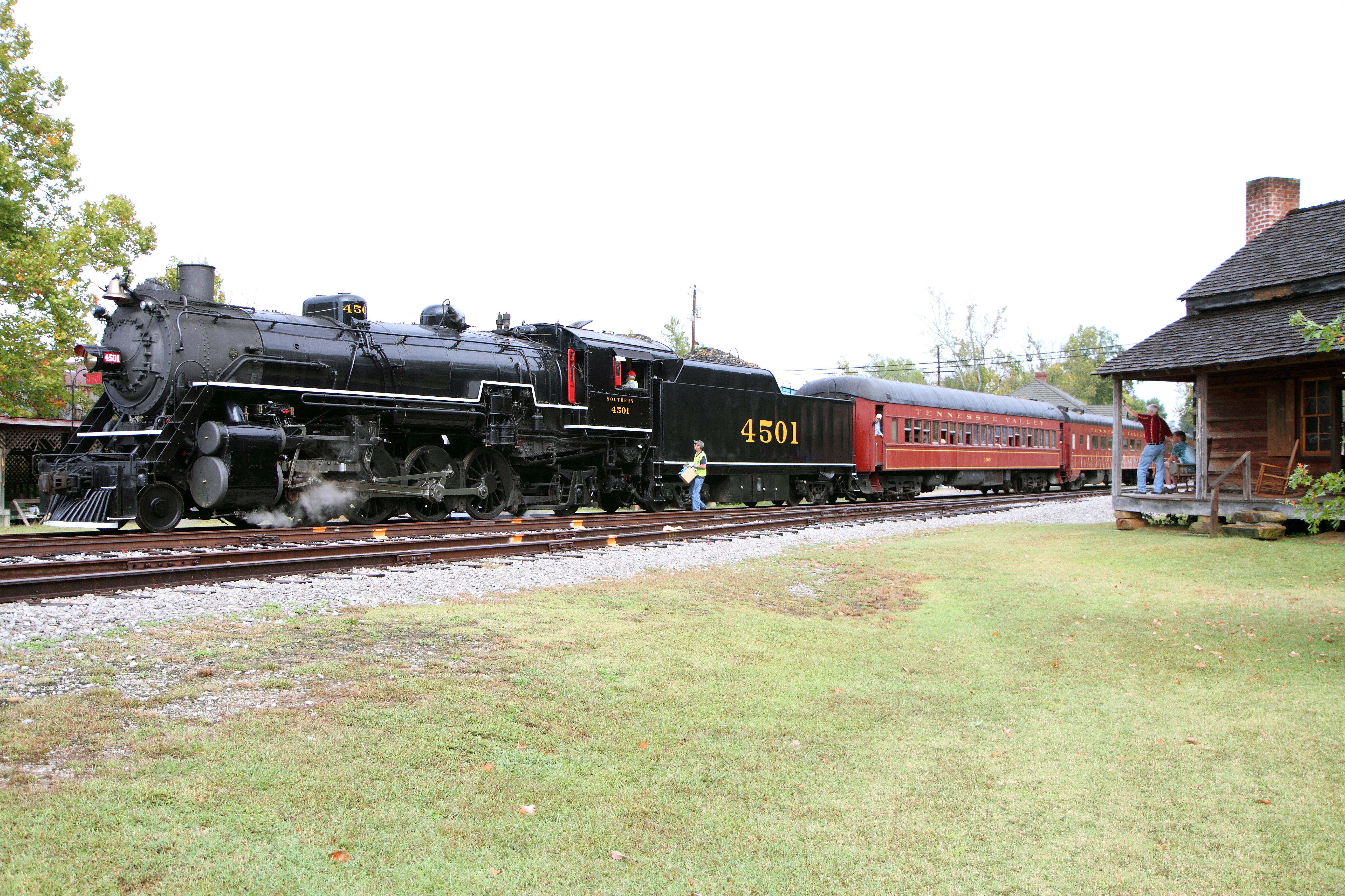
SR 4501 at Trion, Ga

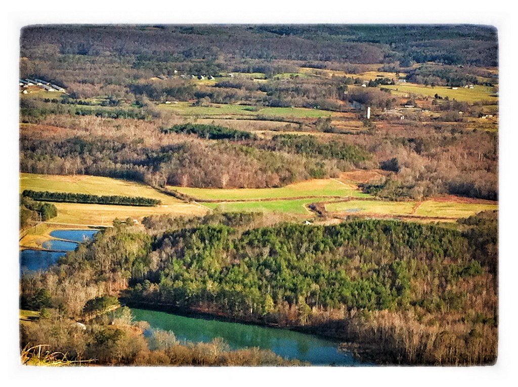
Scenic view
Color Producer! 93%fpd Eligible Stud Service
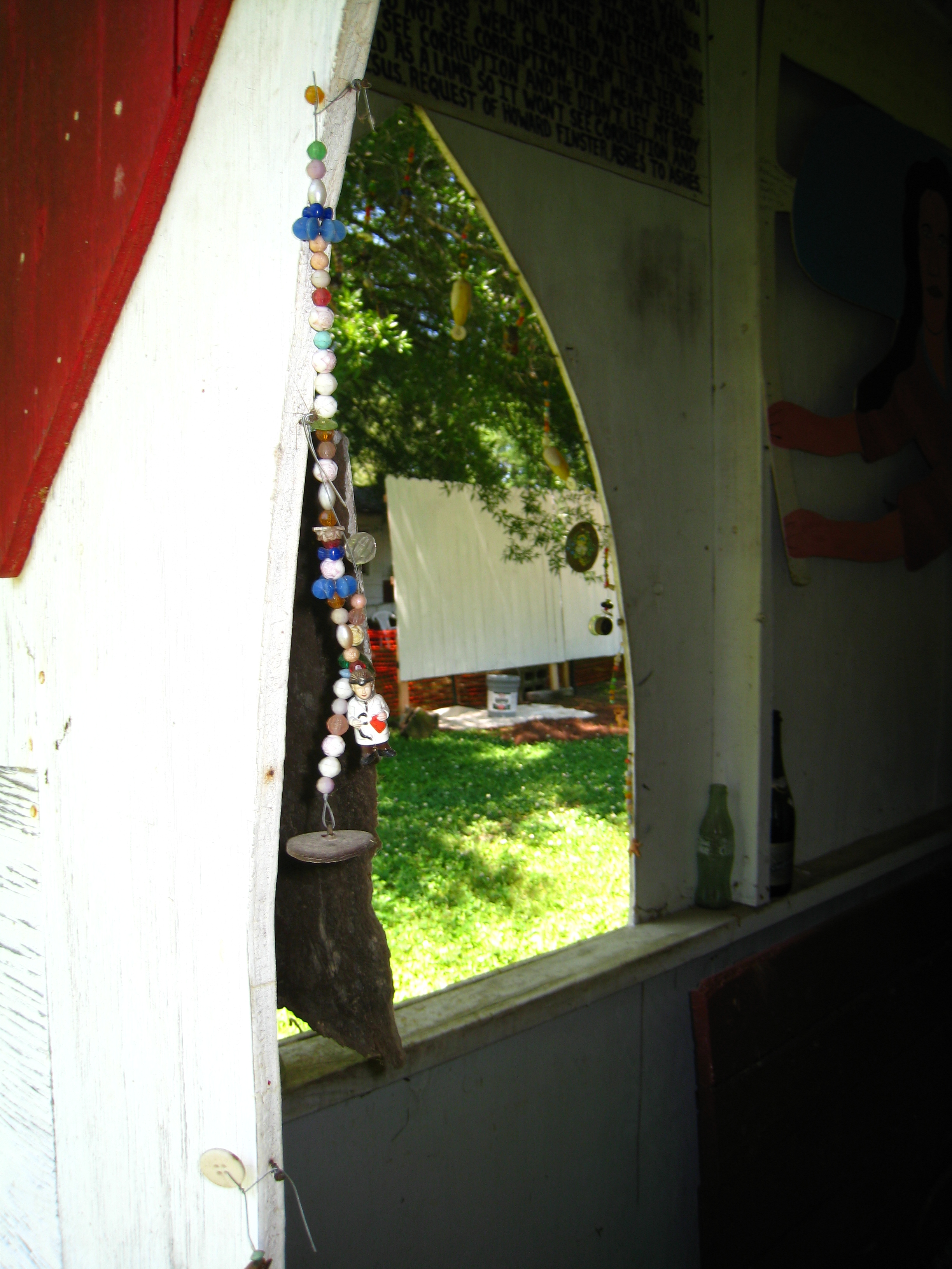
Paradise Gardens HD Community Svc (Glidden) 08

Paradise Gardens HD Community Svc (Glidden) 07
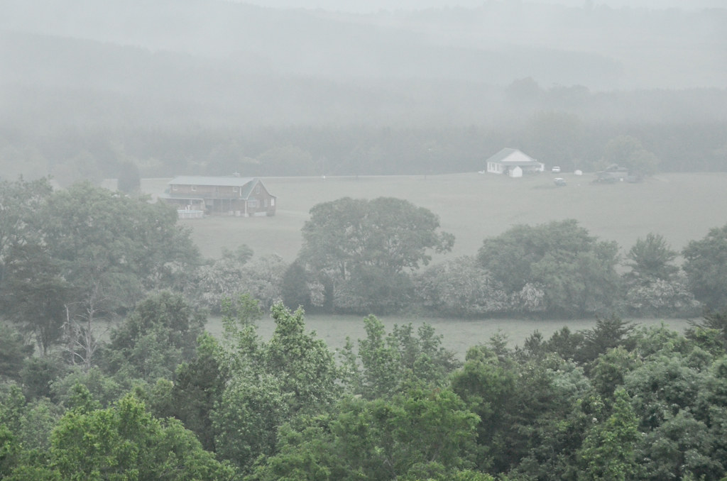
The View Ahead...

Launch Field
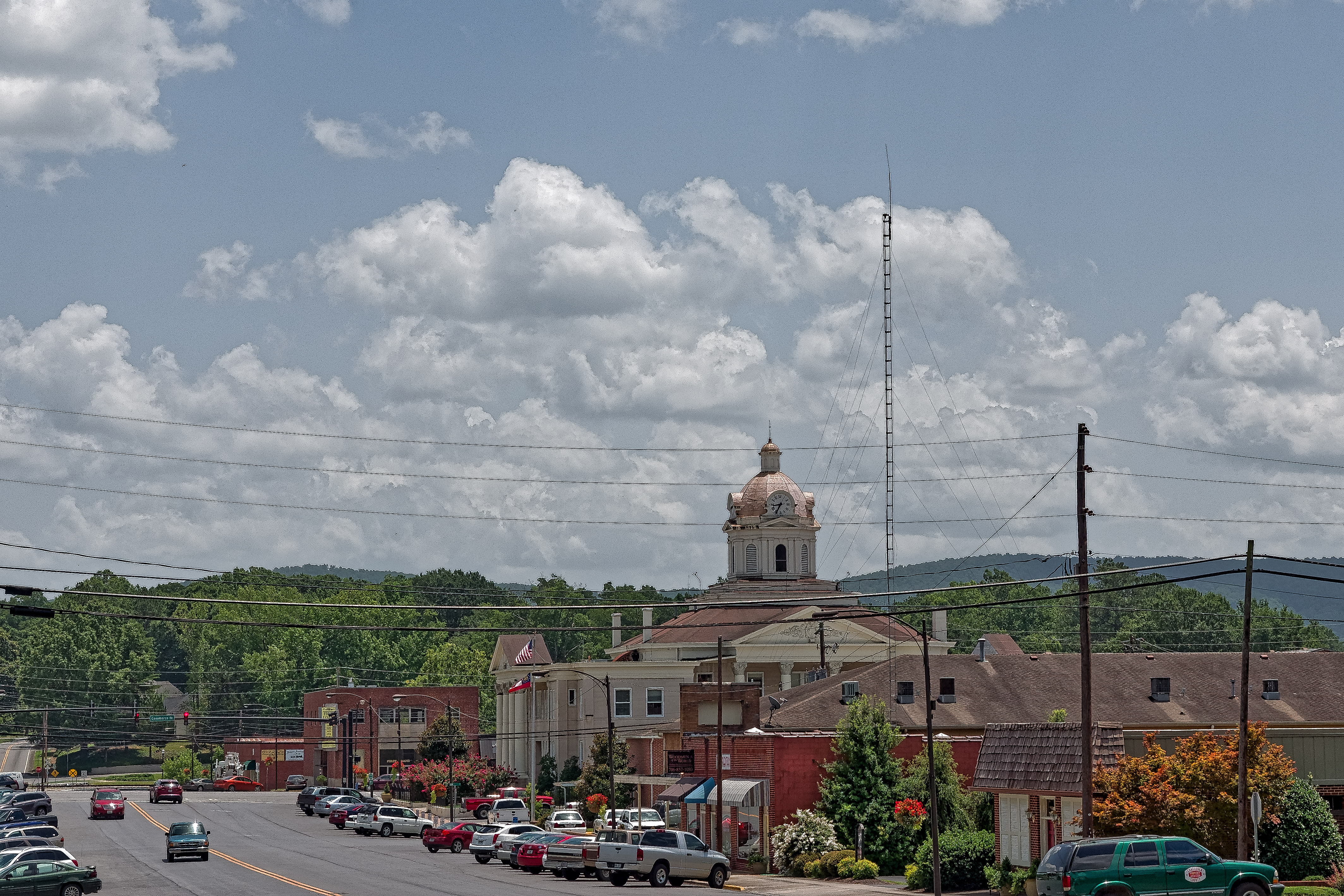
Downtown Summerville Georgia

This piece I used watercolors, but continue on with my study of feathers and the spiritual meanings they may contain for us. I haven't named it yet...own to suggestions. What do you feel/see as you view this piece?
Checking Out the View

Black Snowcap Filly for Sale at Rocky Hollow Ranch

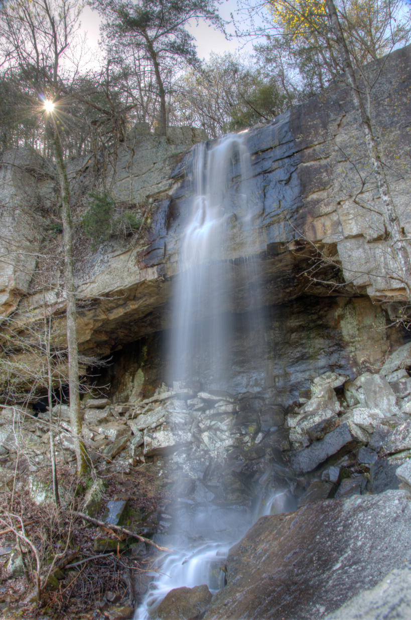
DeSoto Falls in Alabama

A walk in the pasture 02

North Georgia

DeSoto Falls in Alabama
NorthWest Georgia
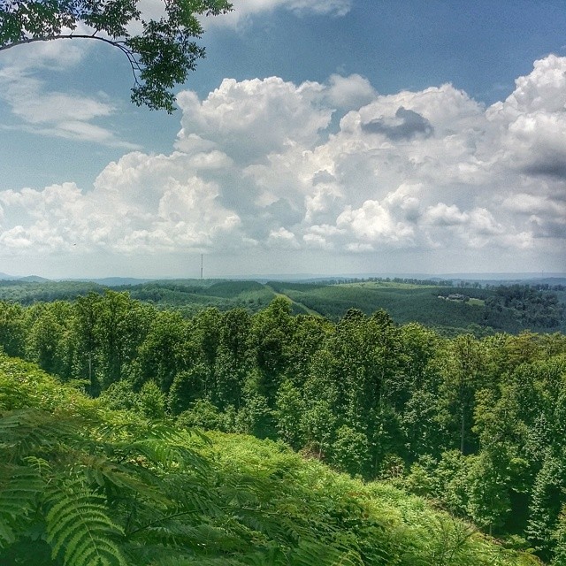
Overlook #thisismyga
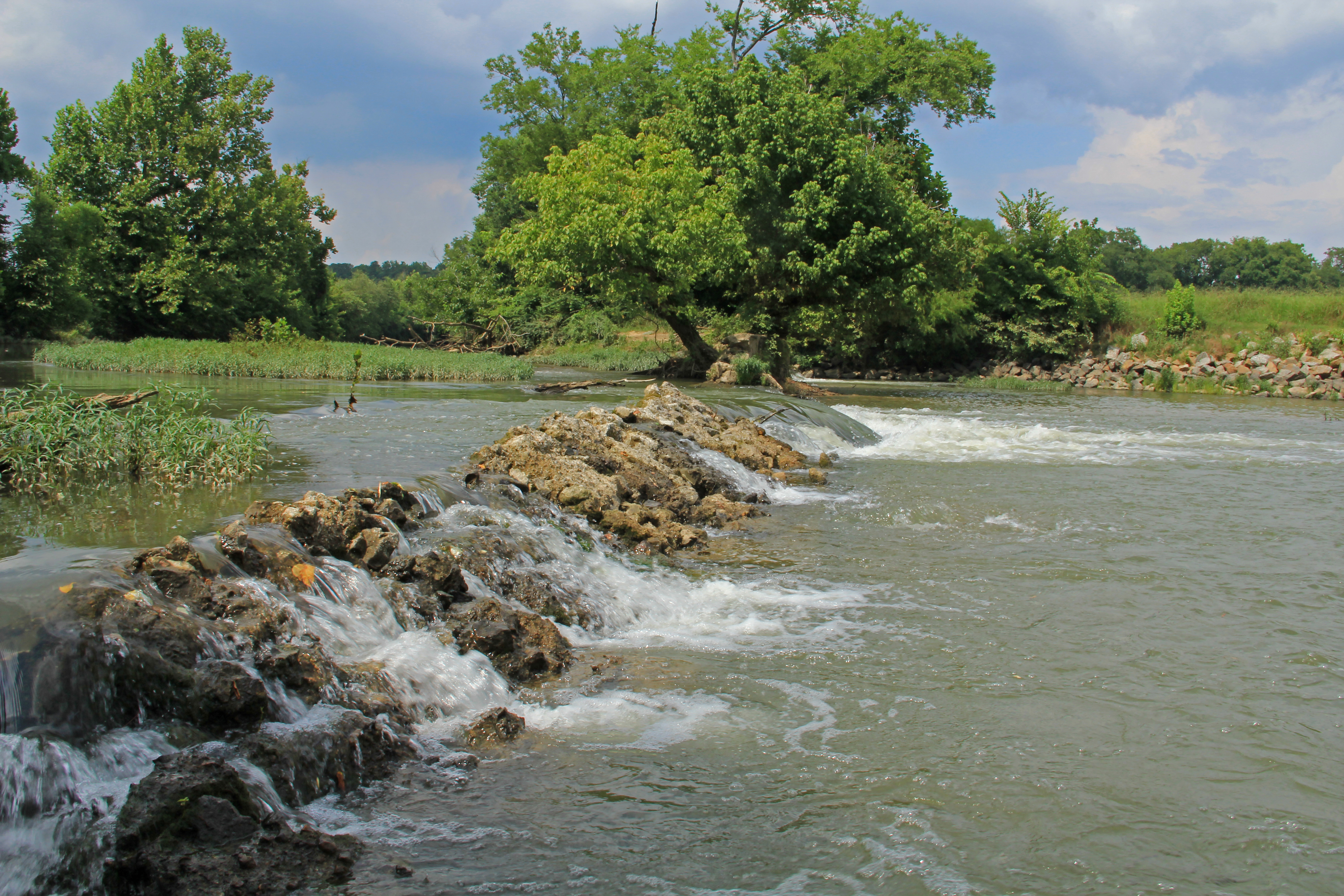
Lyerly Dam, Chattooga River, Lyerly, Chattooga County, Georgia 1

Dry Grass
DeSoto Falls in Alabama

Menlo-Balloon-0384

Ephemeral Pond No. 1, Pigeon Mountain, Crockford-Pigeon Mountain Wildlife Management Area, Walker County, Georgia 1
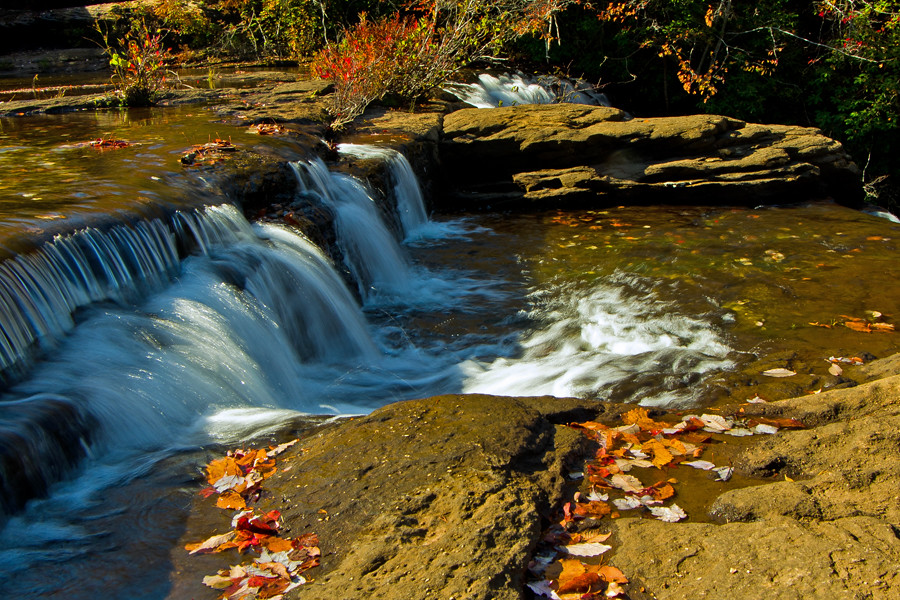
Spring Waterfall
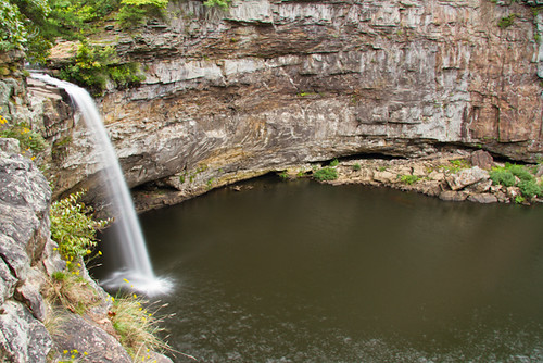
DeSoto Falls and Cliffs
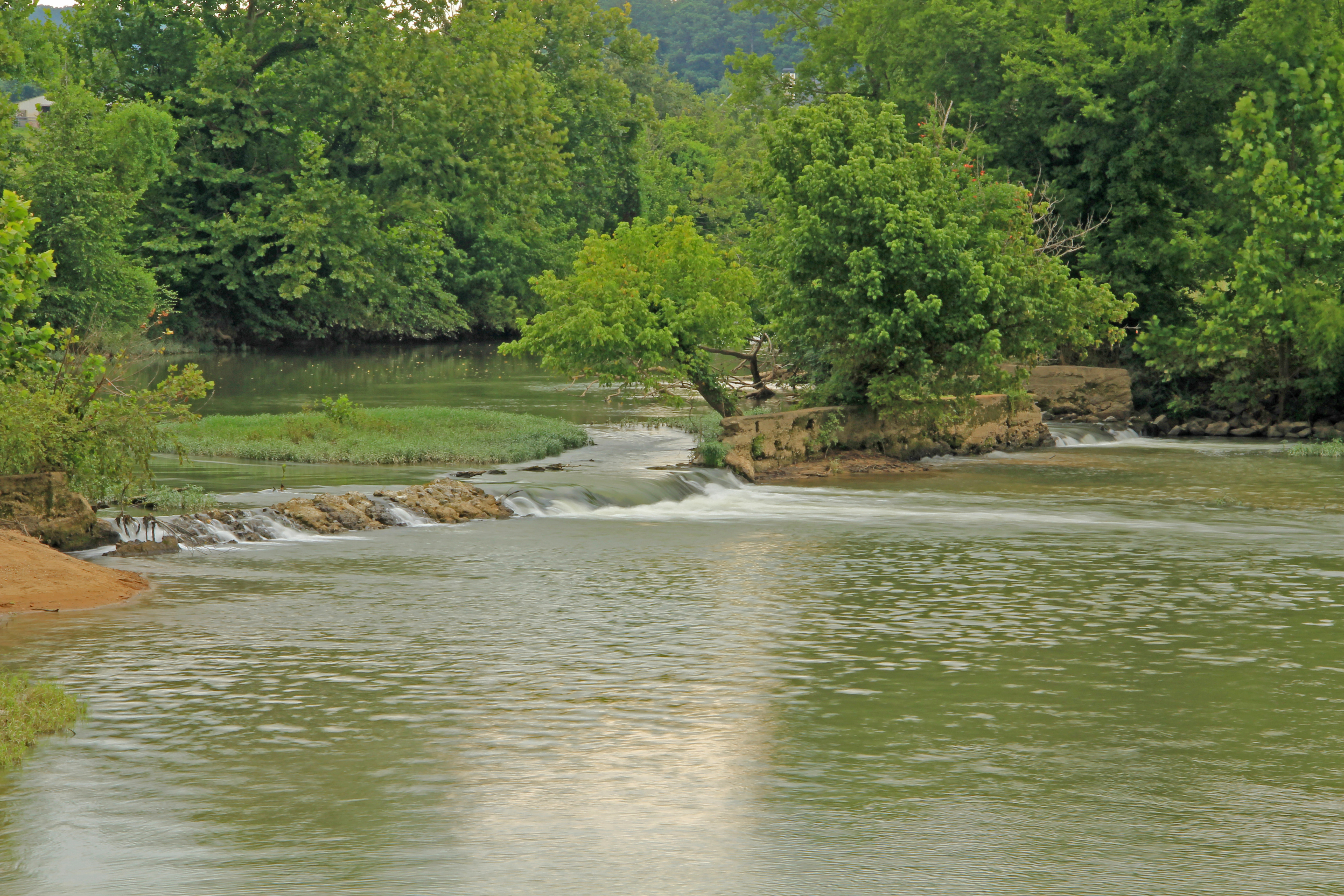
Lyerly Dam, Chattooga River, Lyerly, Chattooga County, Georgia 3
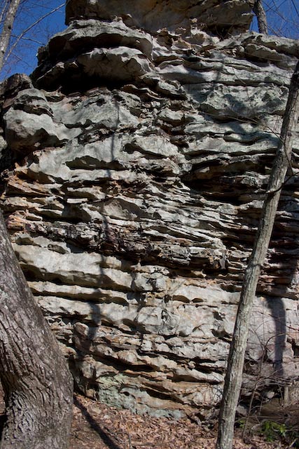
Rock Town-4

Roadside photoshoot pit stop
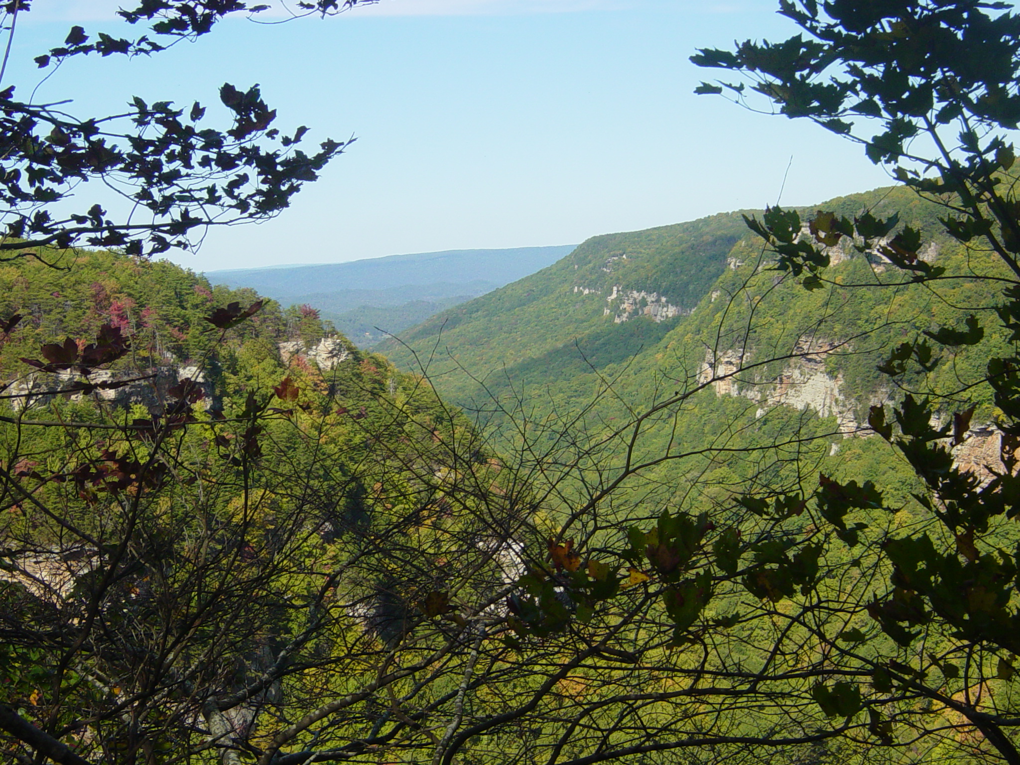
Cloudland Canyon

Rock Town-15
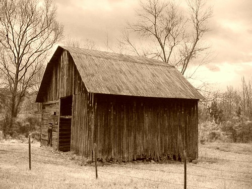
DSC00377-Ye Old Barn

De Soto Falls 12-14-11 IMGP1635
Topographic Map of Railey Rd, Summerville, GA, USA
Find elevation by address:

Places near Railey Rd, Summerville, GA, USA:
466 Railey Rd
680 Valley View Ranch Rd
14 Sunset Dr
14 Sunset Dr
14 Sunset Dr
14 Sunset Dr
14 Sunset Dr
14 Sunset Dr
Summerville
360 Ridge St
474 State St
GA-, LaFayette, GA, USA
11th Street
Shinbone Valley Road
Trion
50 Marble Springs Rd
US-27, Trion, GA, USA
Chattooga County
647 Mountain View Rd
647 Mountain View Rd
Recent Searches:
- Elevation of Griffing Blvd, Biscayne Park, FL, USA
- Elevation of Kreuzburger Weg 13, Düsseldorf, Germany
- Elevation of Gateway Blvd SE, Canton, OH, USA
- Elevation of East W.T. Harris Boulevard, E W.T. Harris Blvd, Charlotte, NC, USA
- Elevation of West Sugar Creek, Charlotte, NC, USA
- Elevation of Wayland, NY, USA
- Elevation of Steadfast Ct, Daphne, AL, USA
- Elevation of Lagasgasan, X+CQH, Tiaong, Quezon, Philippines
- Elevation of Rojo Ct, Atascadero, CA, USA
- Elevation of Flagstaff Drive, Flagstaff Dr, North Carolina, USA