Elevation of Ragged Peak, Colorado, USA
Location: United States > Colorado > Gunnison County > Marble >
Longitude: -107.28227
Latitude: 39.0366555
Elevation: 3834m / 12579feet
Barometric Pressure: 63KPa
Elevation Map:
Satellite Map:
Related Photos:

Kebler Pass Goodness
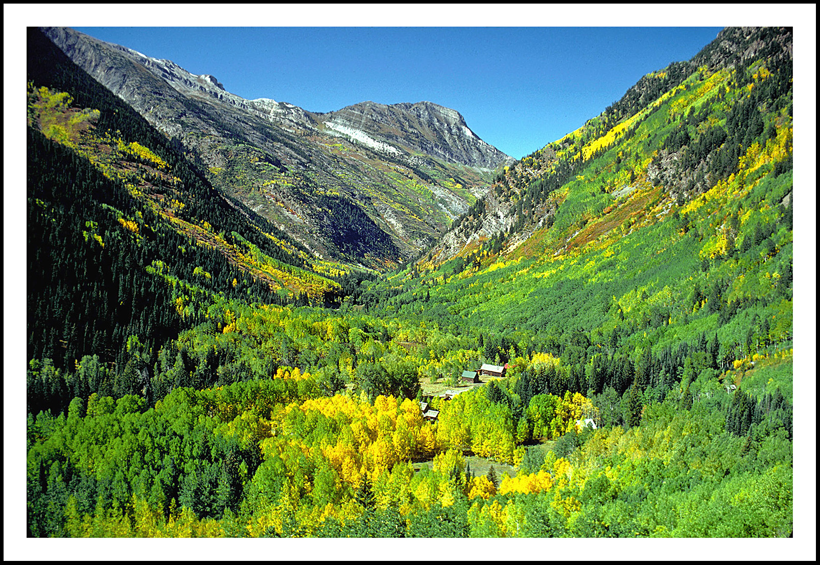
Crystal City in the Colorado Rockies - 1975
Marcellina Mountain 2

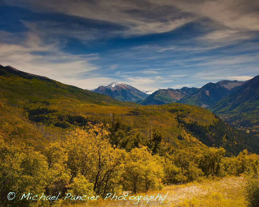
Aspen Gold Against a Colorado Sky
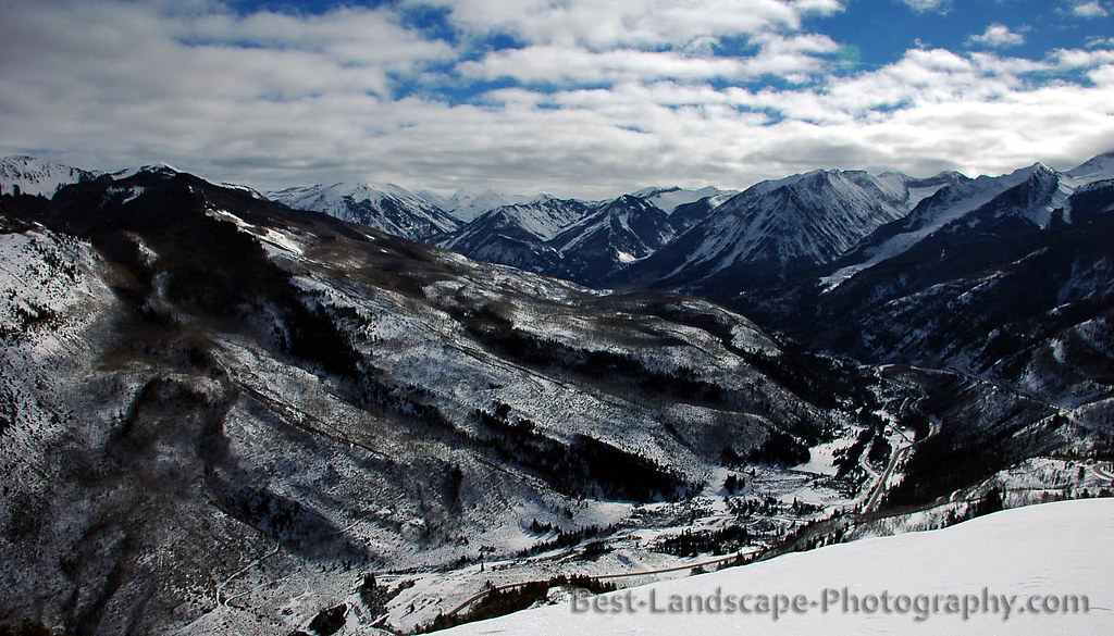
This is Colorado
High in the Rockies
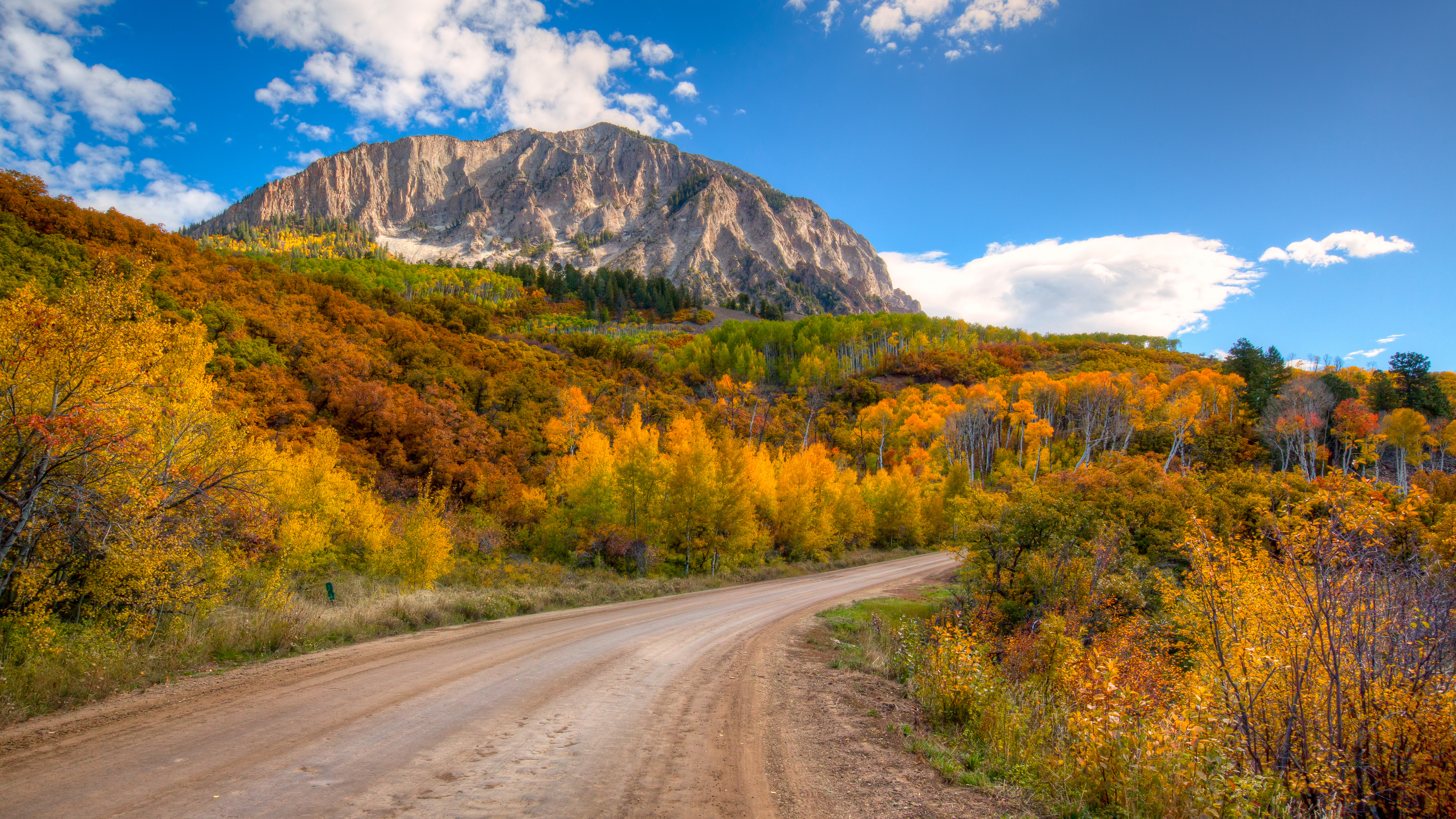
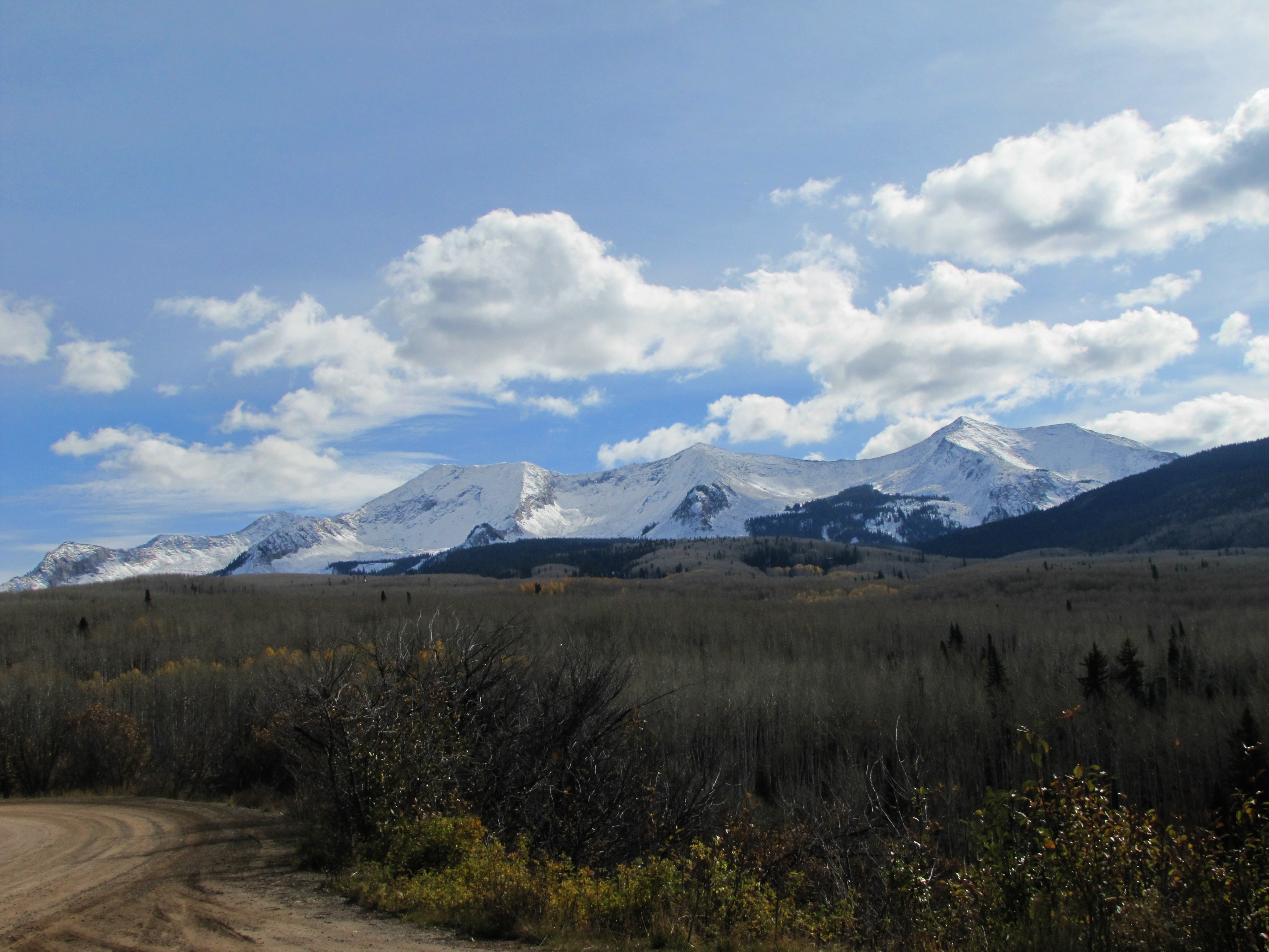
McClure Pass Summit & Elk Mountains

Aspens...(please view on black)
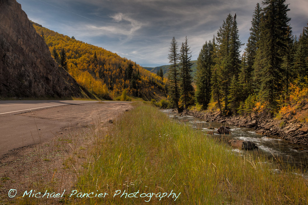
Colorado Scenic Byway 133

McClure Pass
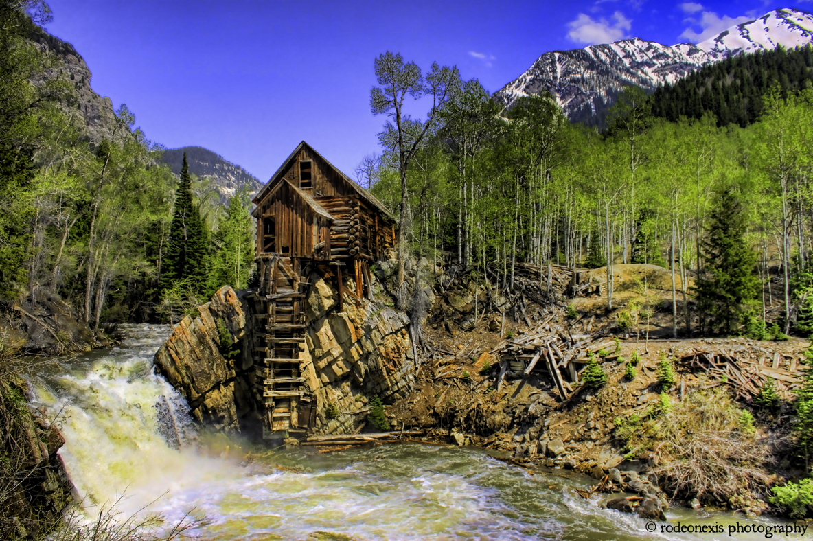
Crystal City Ghost Mill #2

colorado winterscape - color
View from McClure Pass
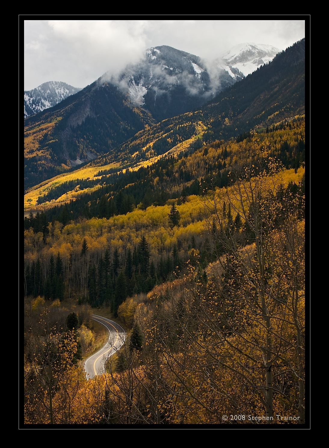
colorado winterscape - color
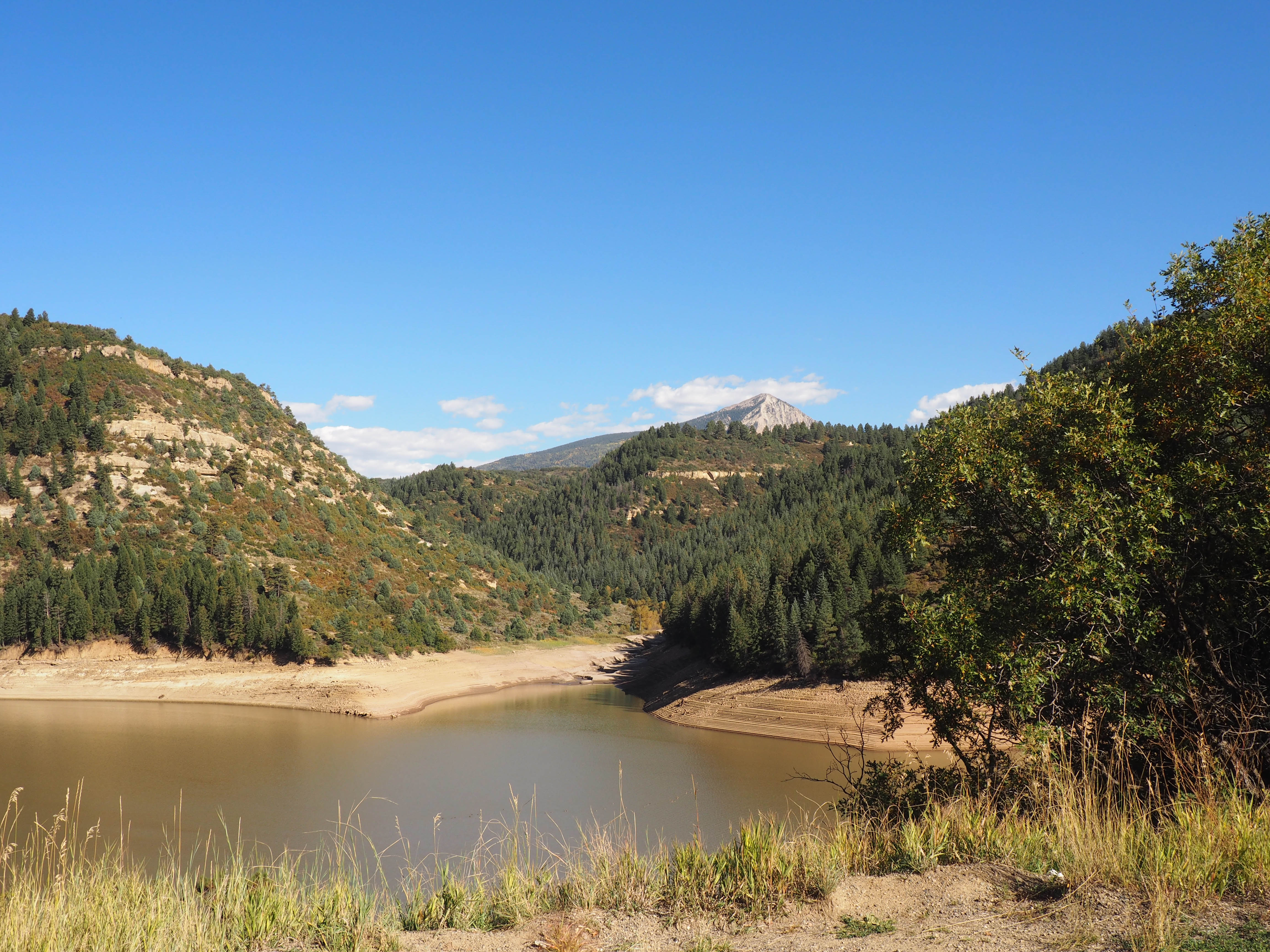
Stuck on Hwy 133 at Paonia Reservoir
View at a bend in the road

West Beckwith Mountain

colorado winterscape - color

Scenic Views
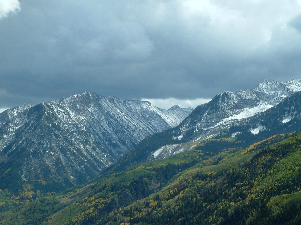
View of Treasury Mountain and Ragged Mountain
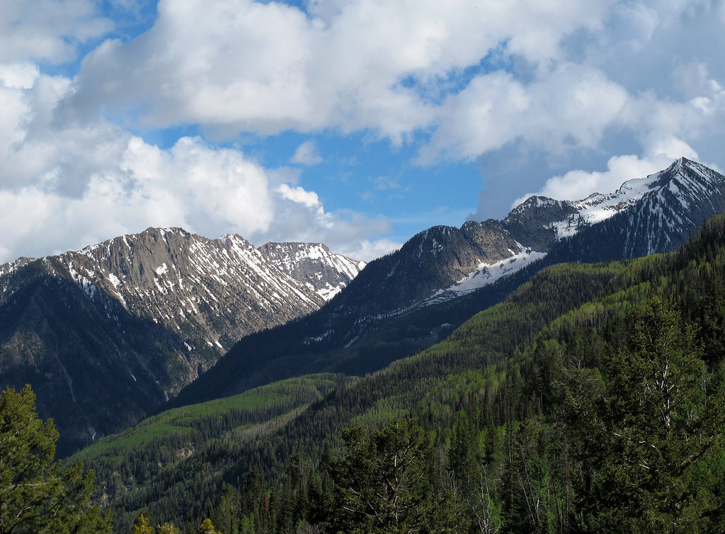
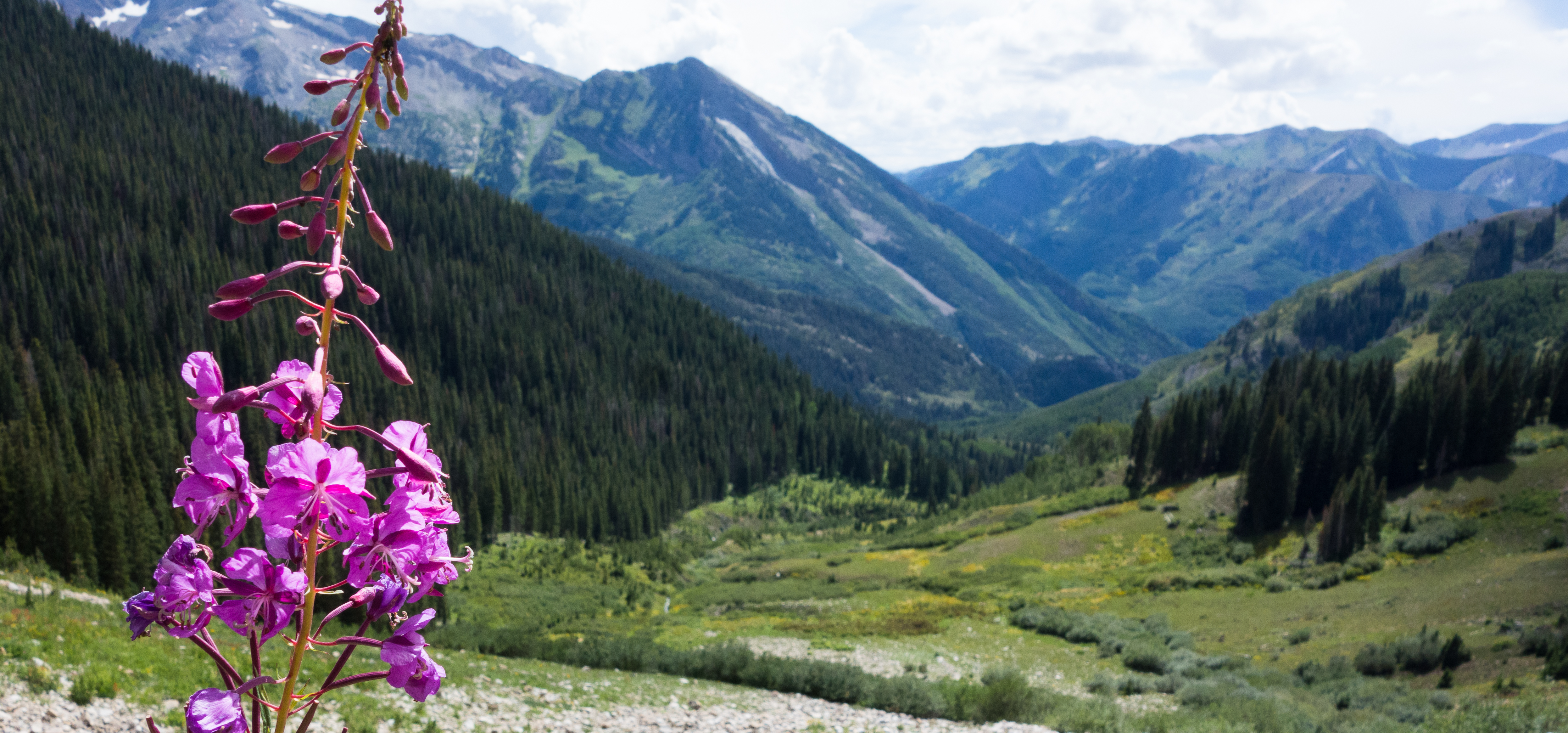
High in the Rockies
Topographic Map of Ragged Peak, Colorado, USA
Find elevation by address:

Places near Ragged Peak, Colorado, USA:
Chair Mountain
Ragged Mountain
1225 Evergreen Ln
Alpine Road
25130 Co Rd 12
25964 Co Rd 12
CO-, Carbondale, CO, USA
Paonia State Park
Marble
27711 Co Rd 12
Marcellina Mountain
Prospect Point
8957 Co-133
Redstone
Redstone Blvd, Redstone, CO, USA
Treasure Mountain
Buck Mesa
Huntsman Ridge
West Beckwith Peak
Arkansas Mountain
Recent Searches:
- Elevation of Corso Fratelli Cairoli, 35, Macerata MC, Italy
- Elevation of Tallevast Rd, Sarasota, FL, USA
- Elevation of 4th St E, Sonoma, CA, USA
- Elevation of Black Hollow Rd, Pennsdale, PA, USA
- Elevation of Oakland Ave, Williamsport, PA, USA
- Elevation of Pedrógão Grande, Portugal
- Elevation of Klee Dr, Martinsburg, WV, USA
- Elevation of Via Roma, Pieranica CR, Italy
- Elevation of Tavkvetili Mountain, Georgia
- Elevation of Hartfords Bluff Cir, Mt Pleasant, SC, USA