Elevation of Radford Road, Radford Rd, North Carolina, USA
Location: United States > North Carolina > Johnston County > Boon Hill >
Longitude: -78.106493
Latitude: 35.5080084
Elevation: 46m / 151feet
Barometric Pressure: 101KPa
Elevation Map:
Satellite Map:
Related Photos:
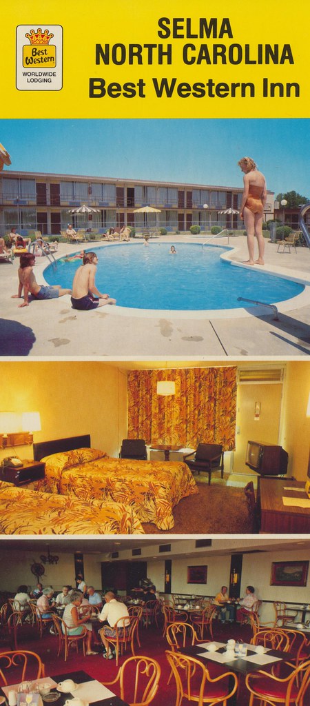
Best Western Inn - Selma, North Carolina
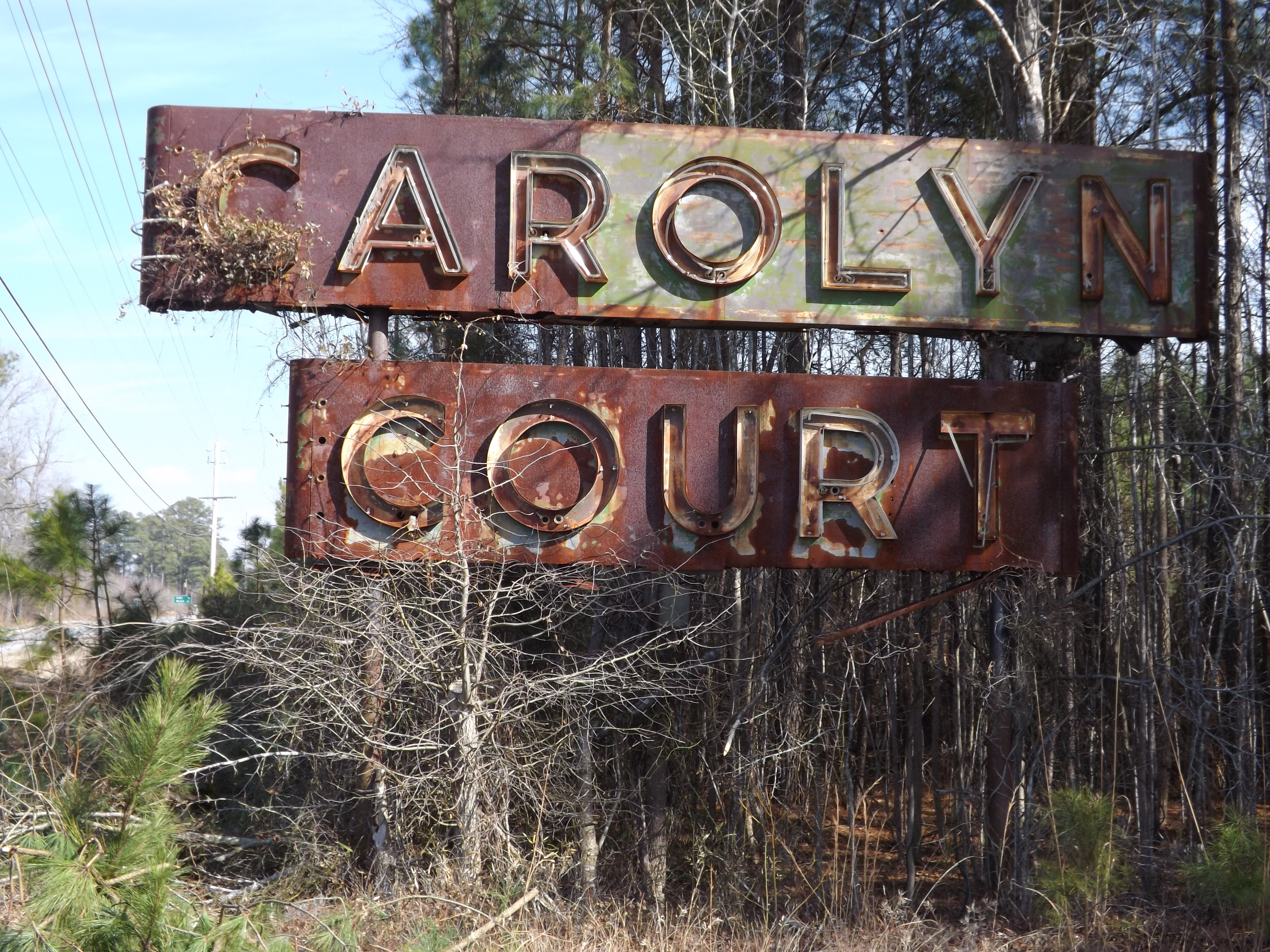
Carolyn Court
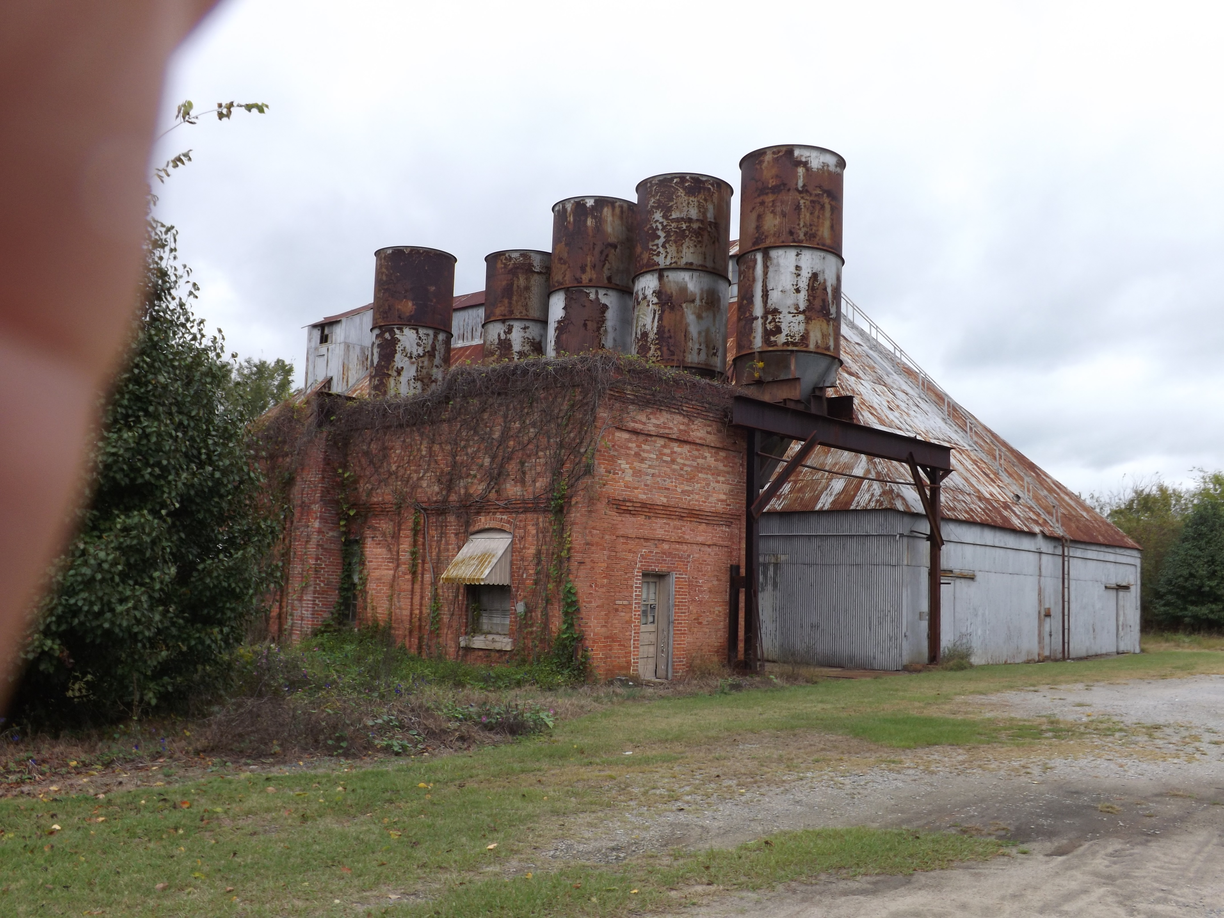
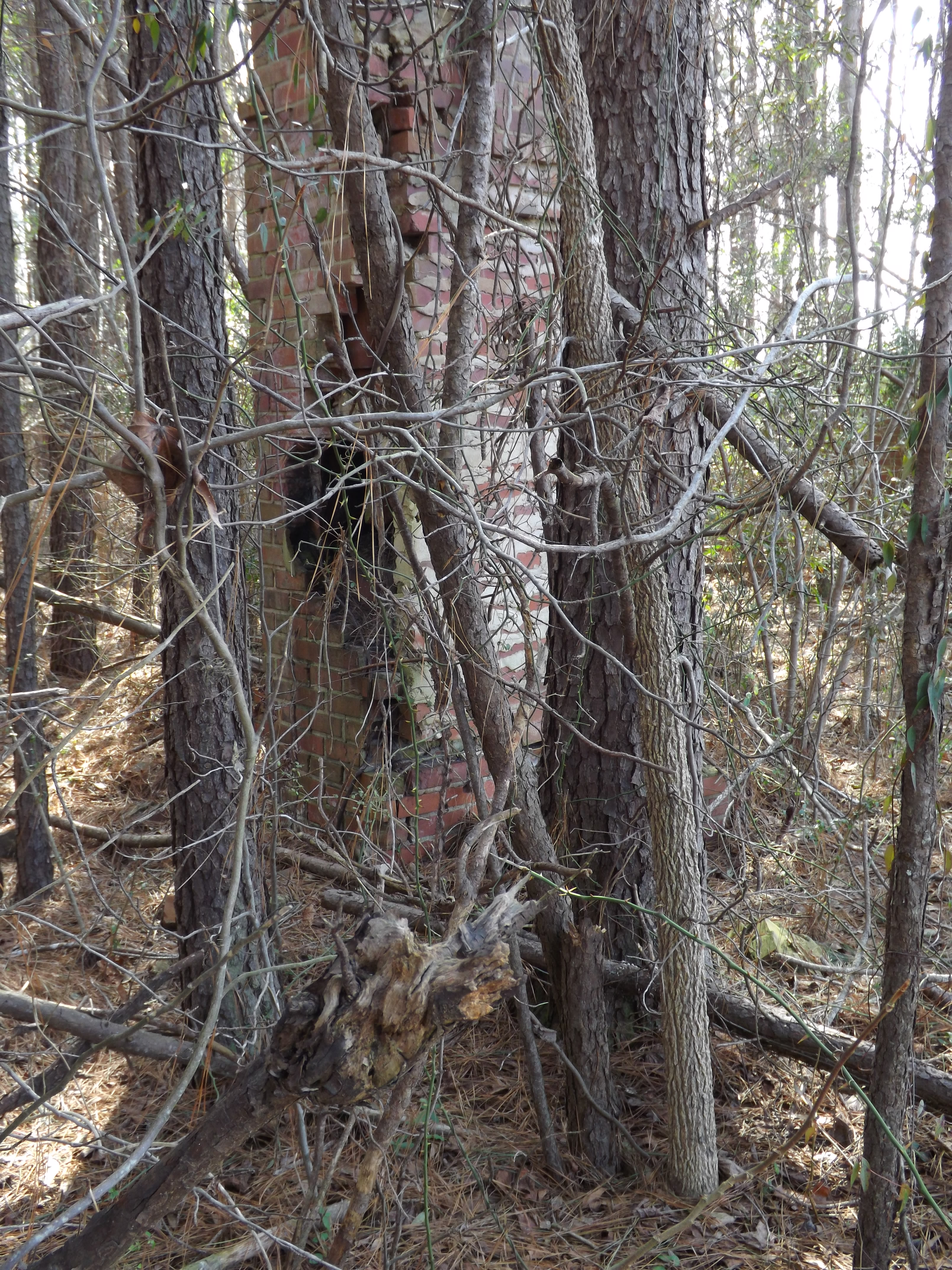
Pine Level Grain(?)
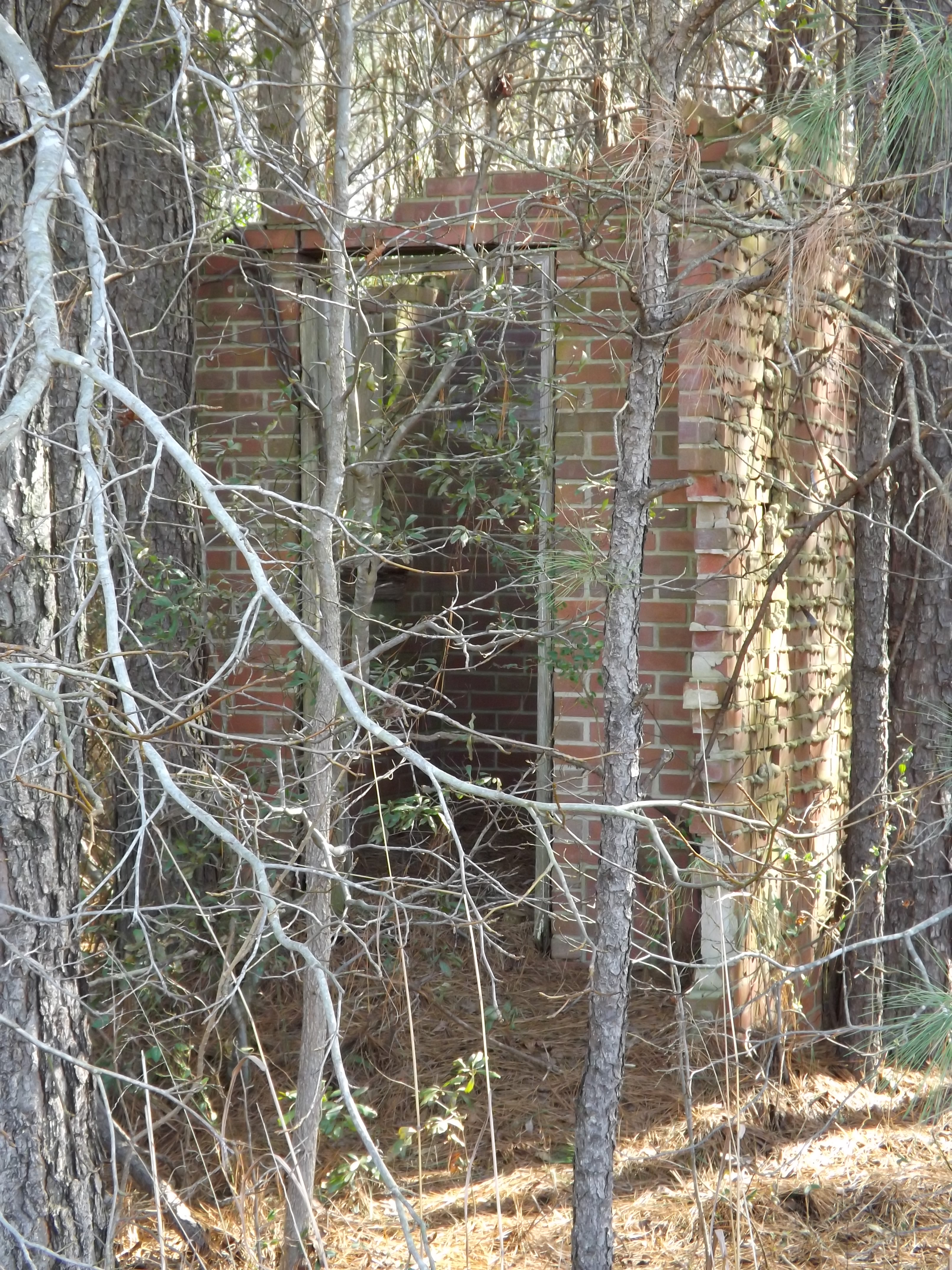
Carolyn Court

Pine View Motel, Kenly, NC
Carolyn Court
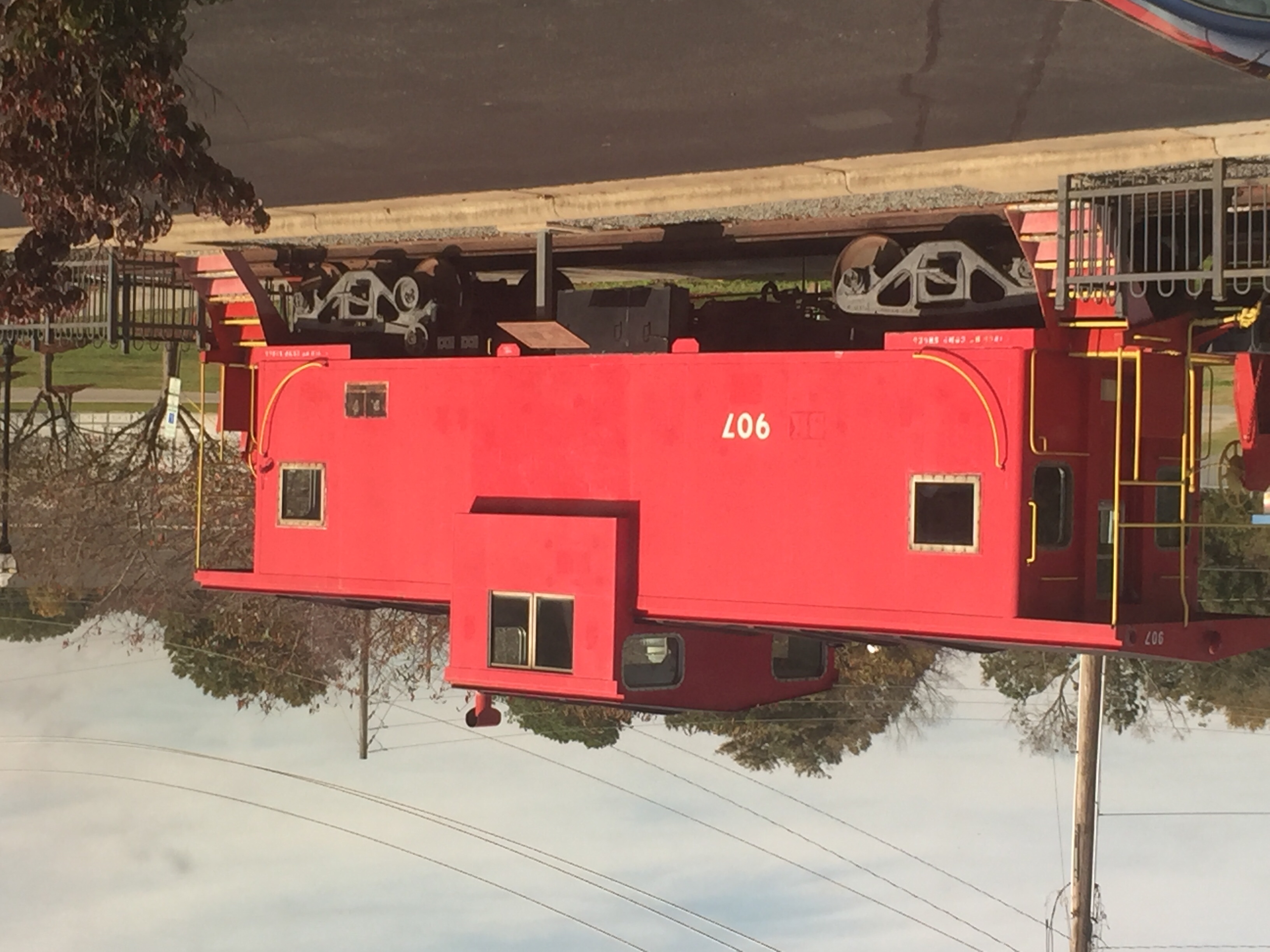
Selma NC: Static Display

Pine View Motel, Kenly, NC
Passing through Kenley NC
Selma NC: #79, The Westbound Carolinian, says "Good Bye" for today
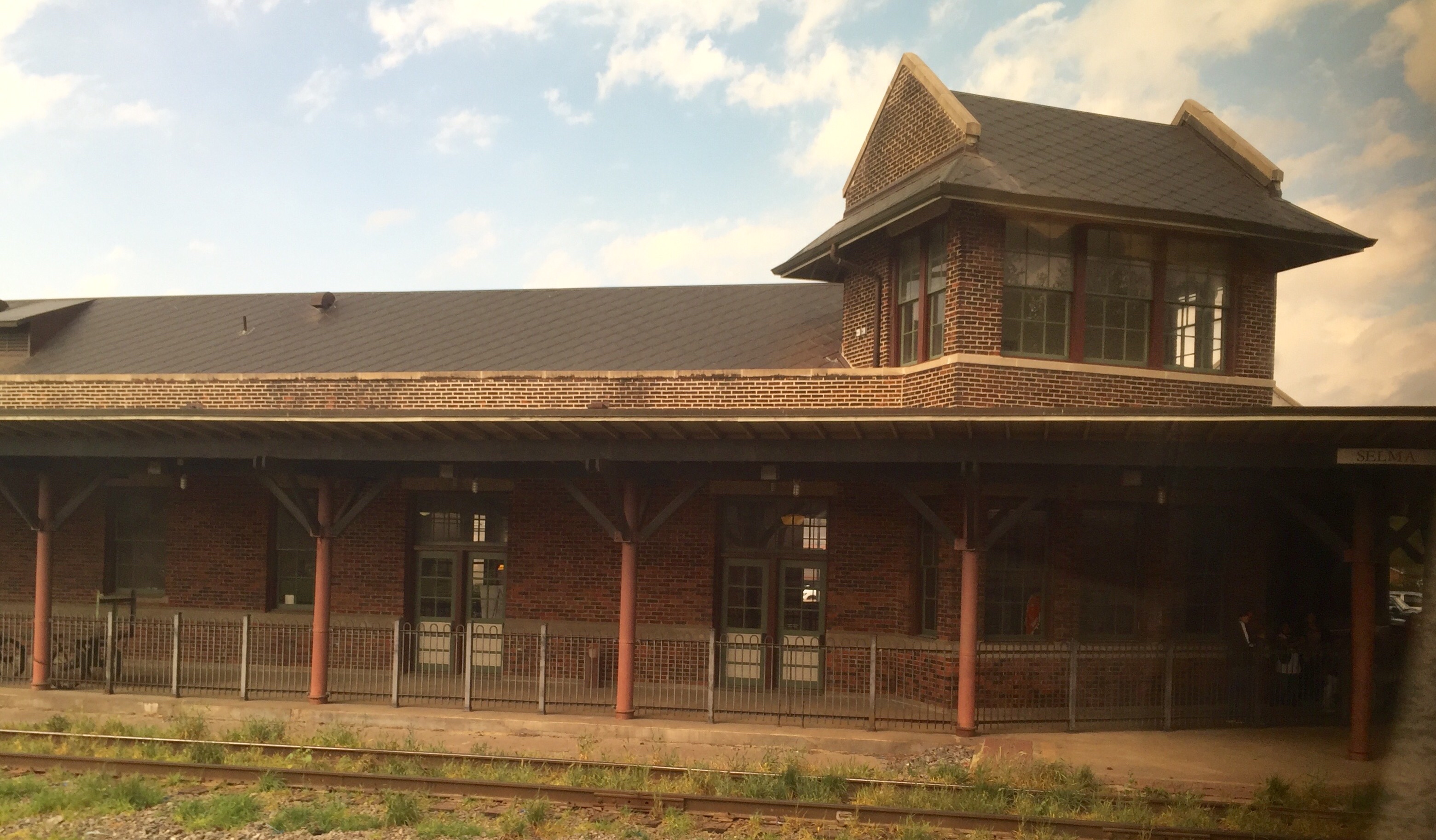
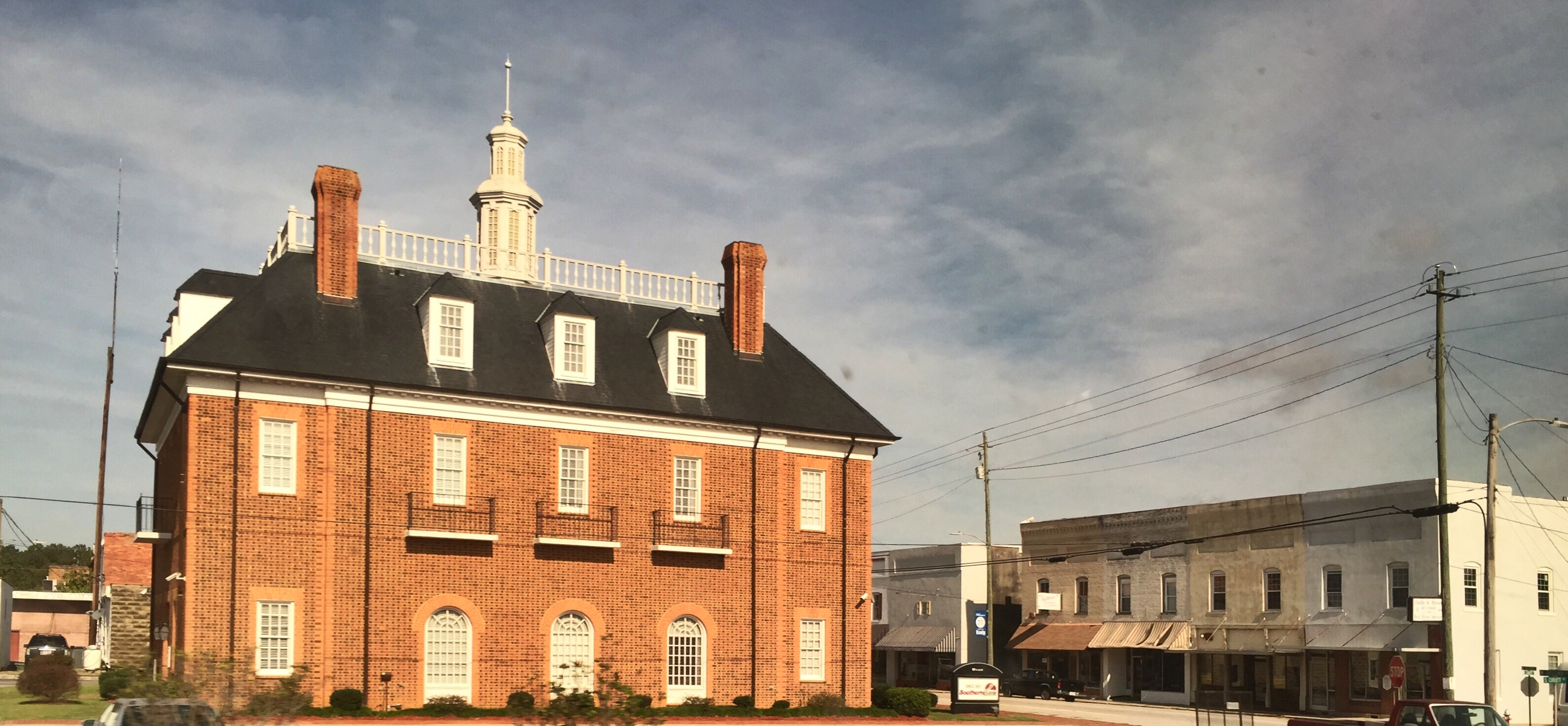
Selma NC : ACL/Southern Station

Video of Rain distorting the locomotive image

Rain distorting the locomotive image

Rainbow center
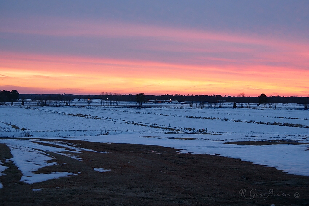
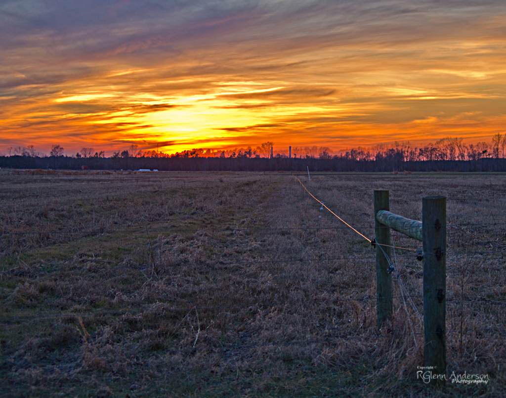
Winter Sunset
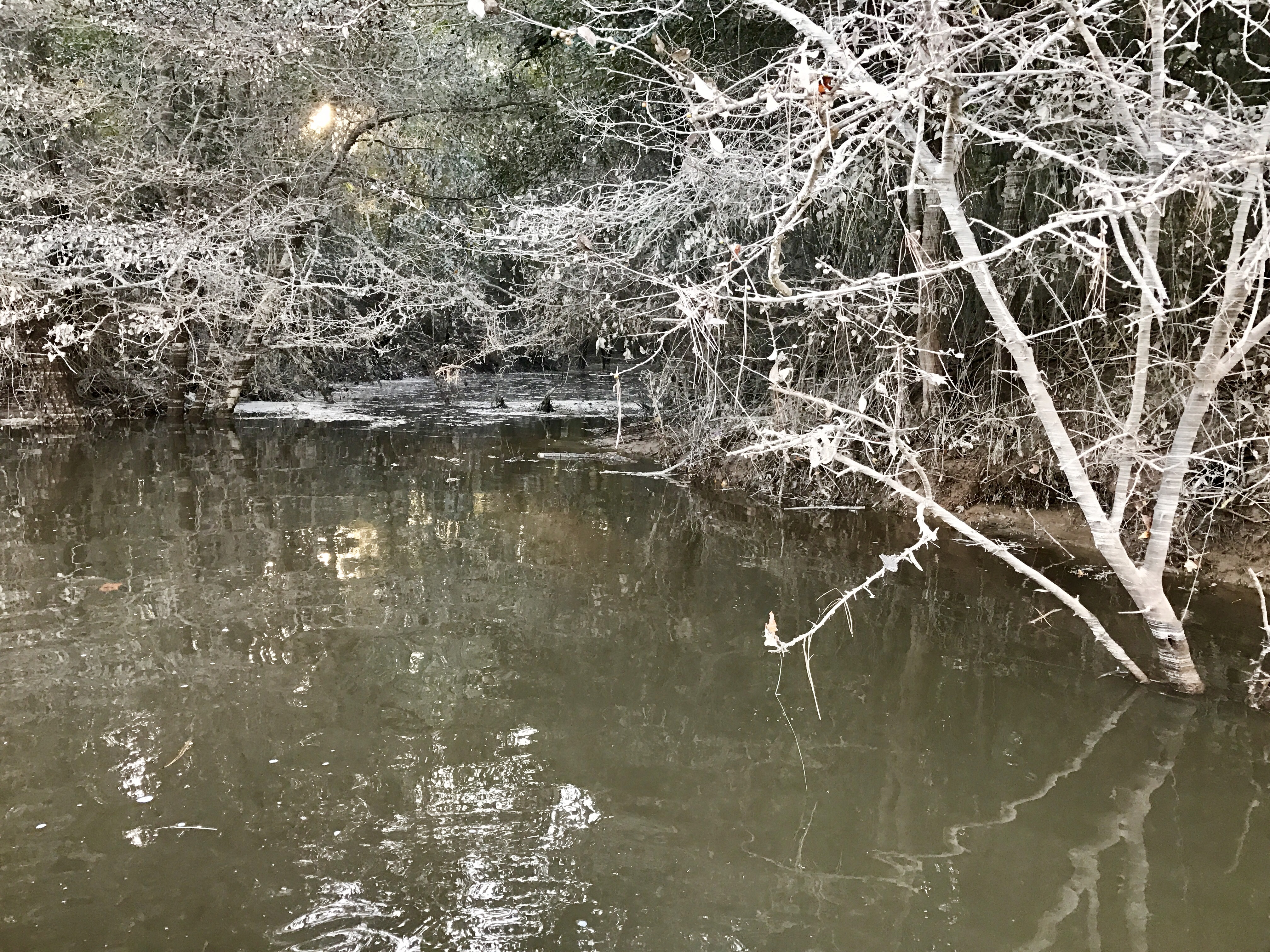
Coal Ash Spill - 10/18/16-2
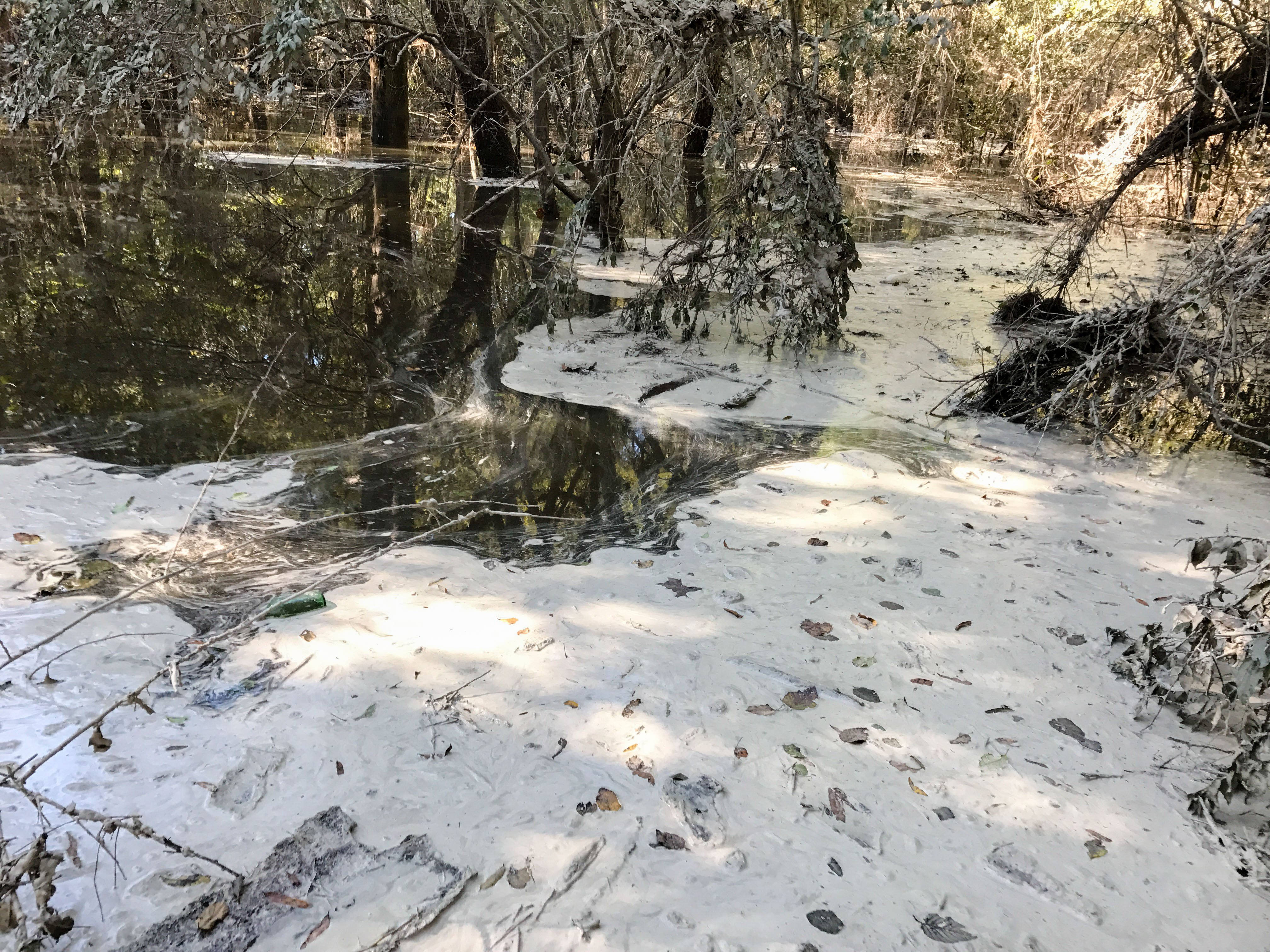
HF Lee Coal Ash Spill Photo 8 - 10.17.16

HF Lee Coal Ash Spill Photo 9 - 10.17.16
Shadows of Distant T'storms

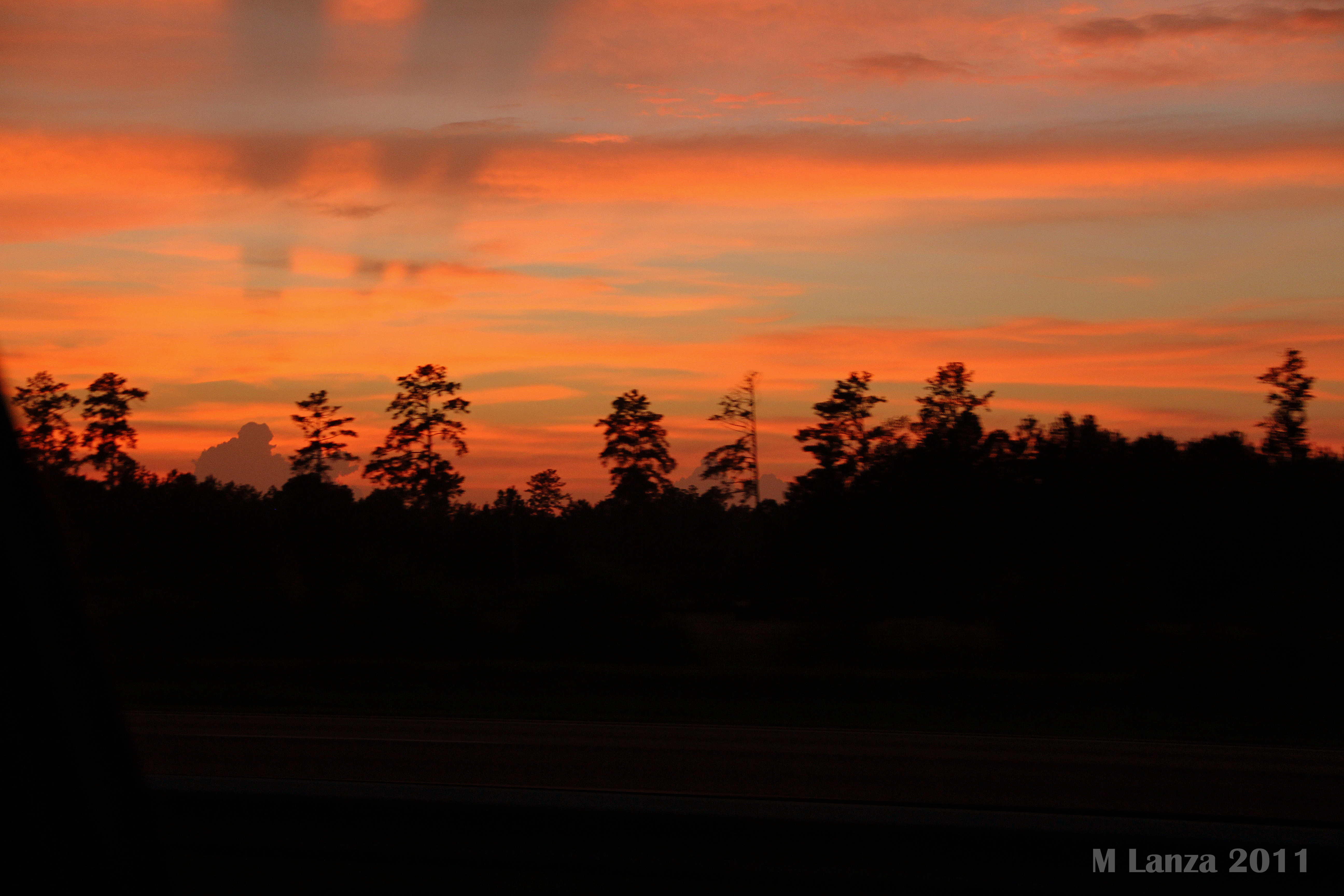
Colorful Sunrise
IT'S ELECTRIC

Cloud filled sunrise
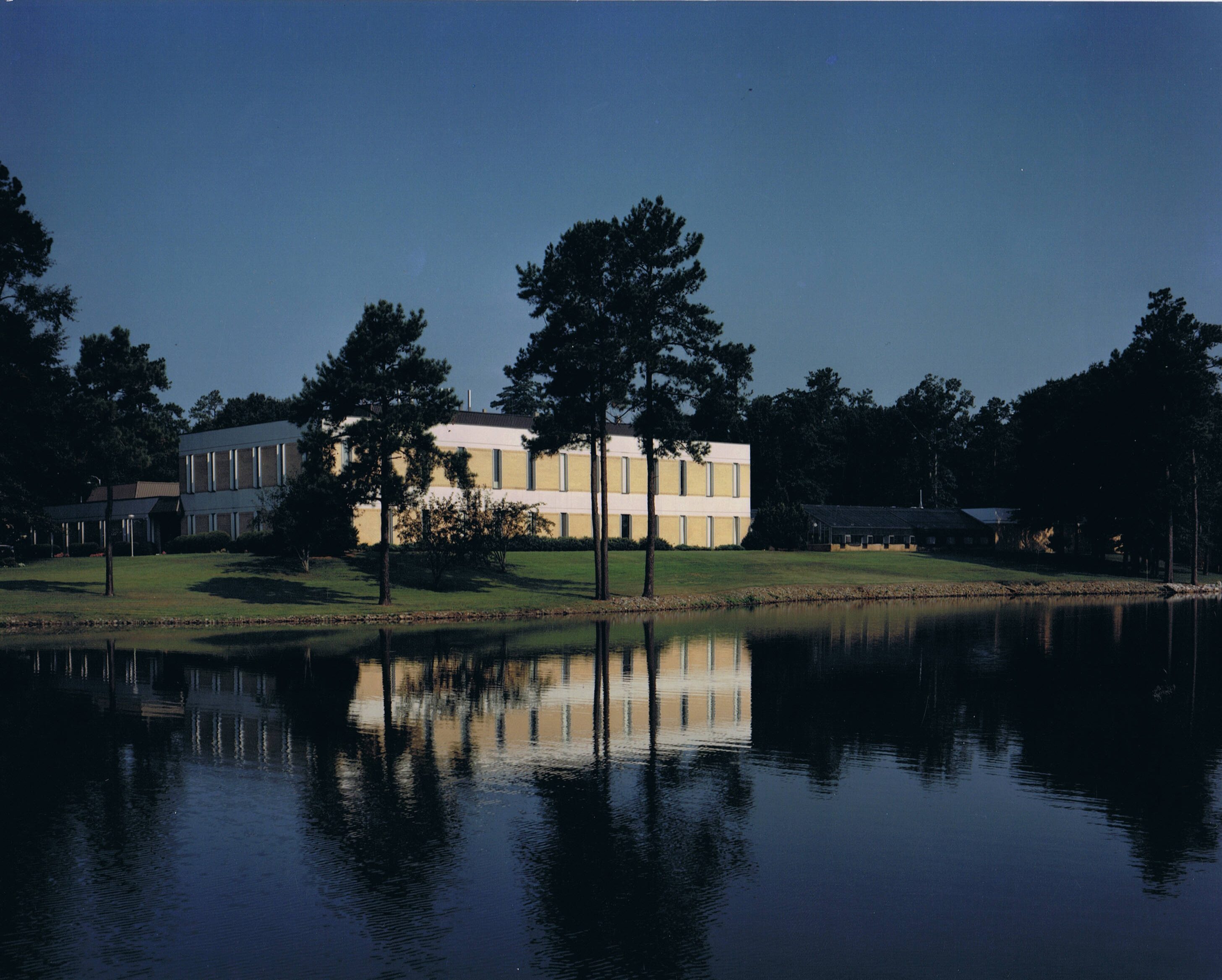
Ag Research Facility

Frosty Morning
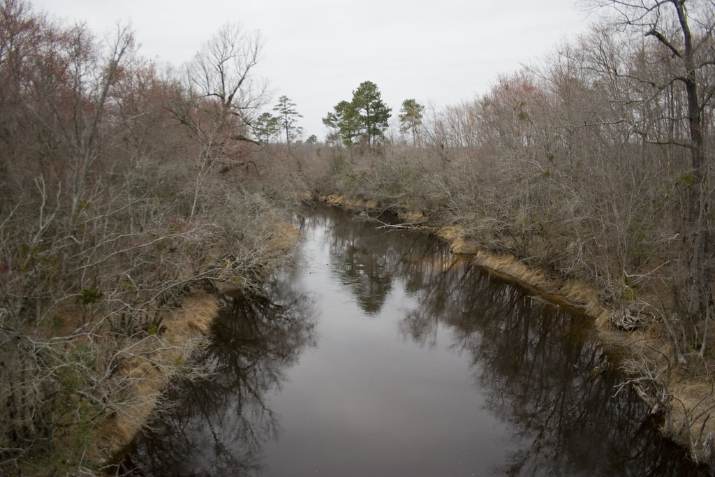
Tar River
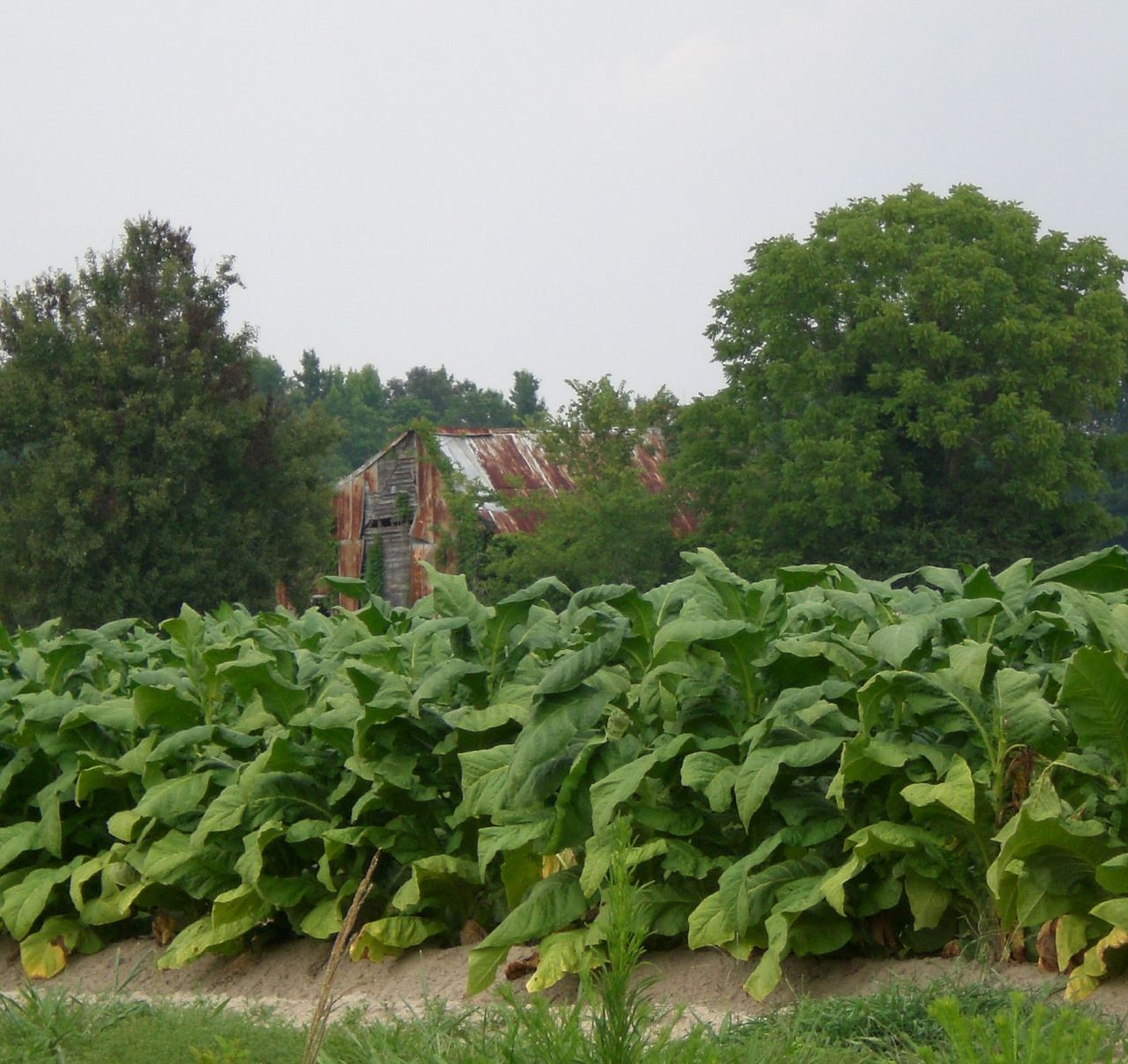
Tobacco Fields
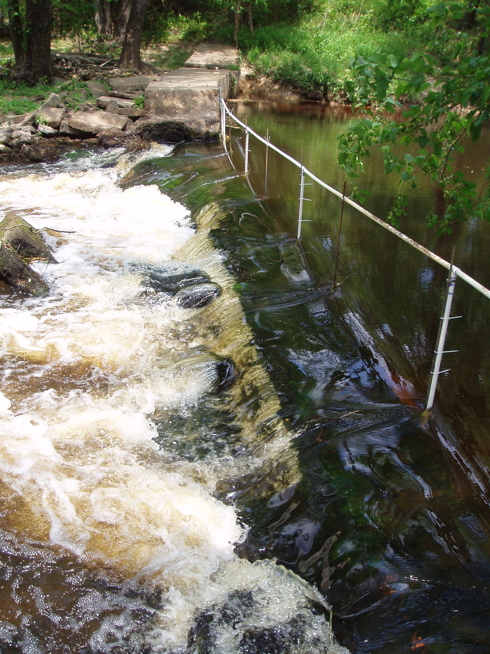
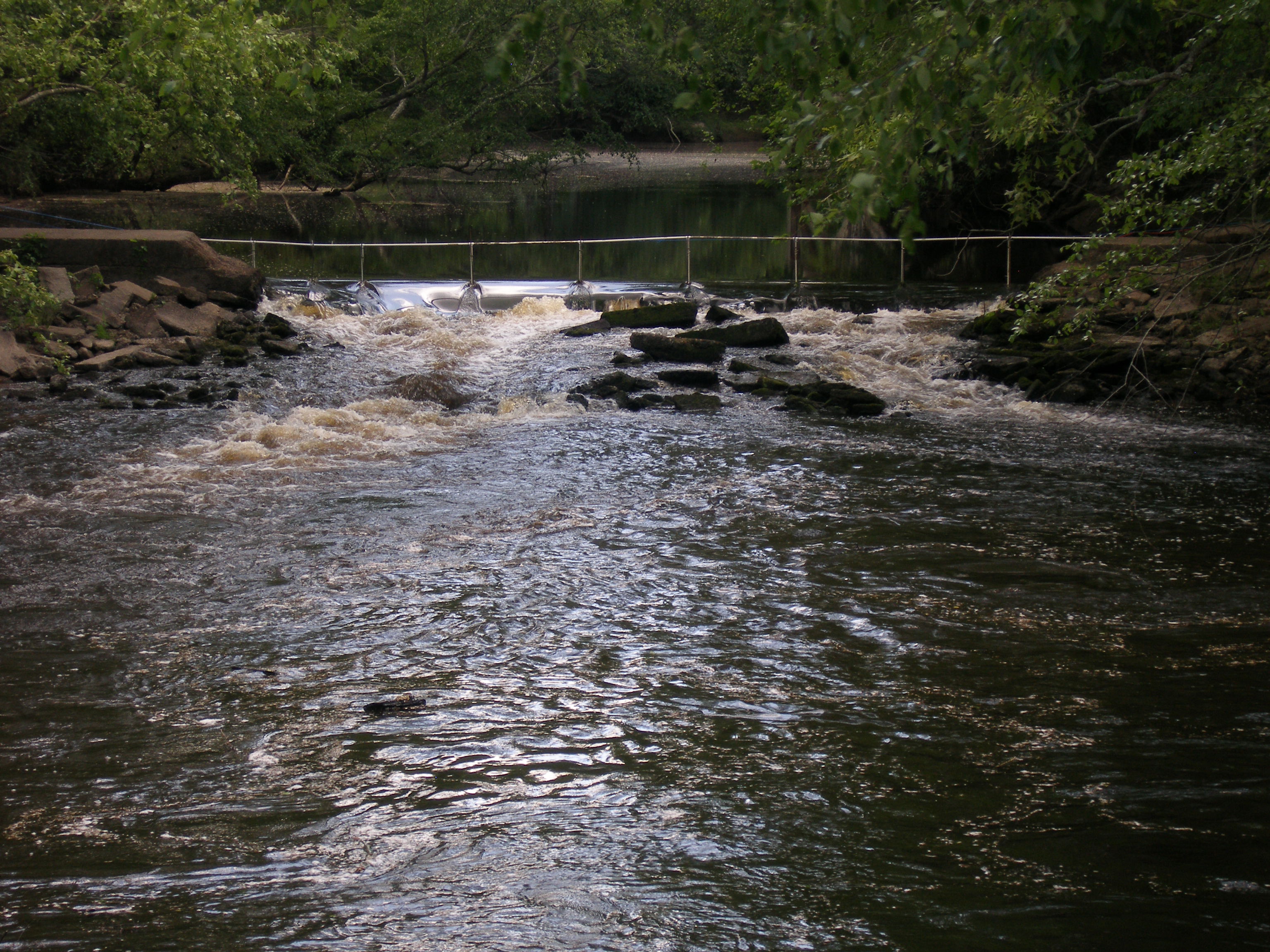
notched dam
Picture 010
8-6-2006-24
notched dam pit antenna
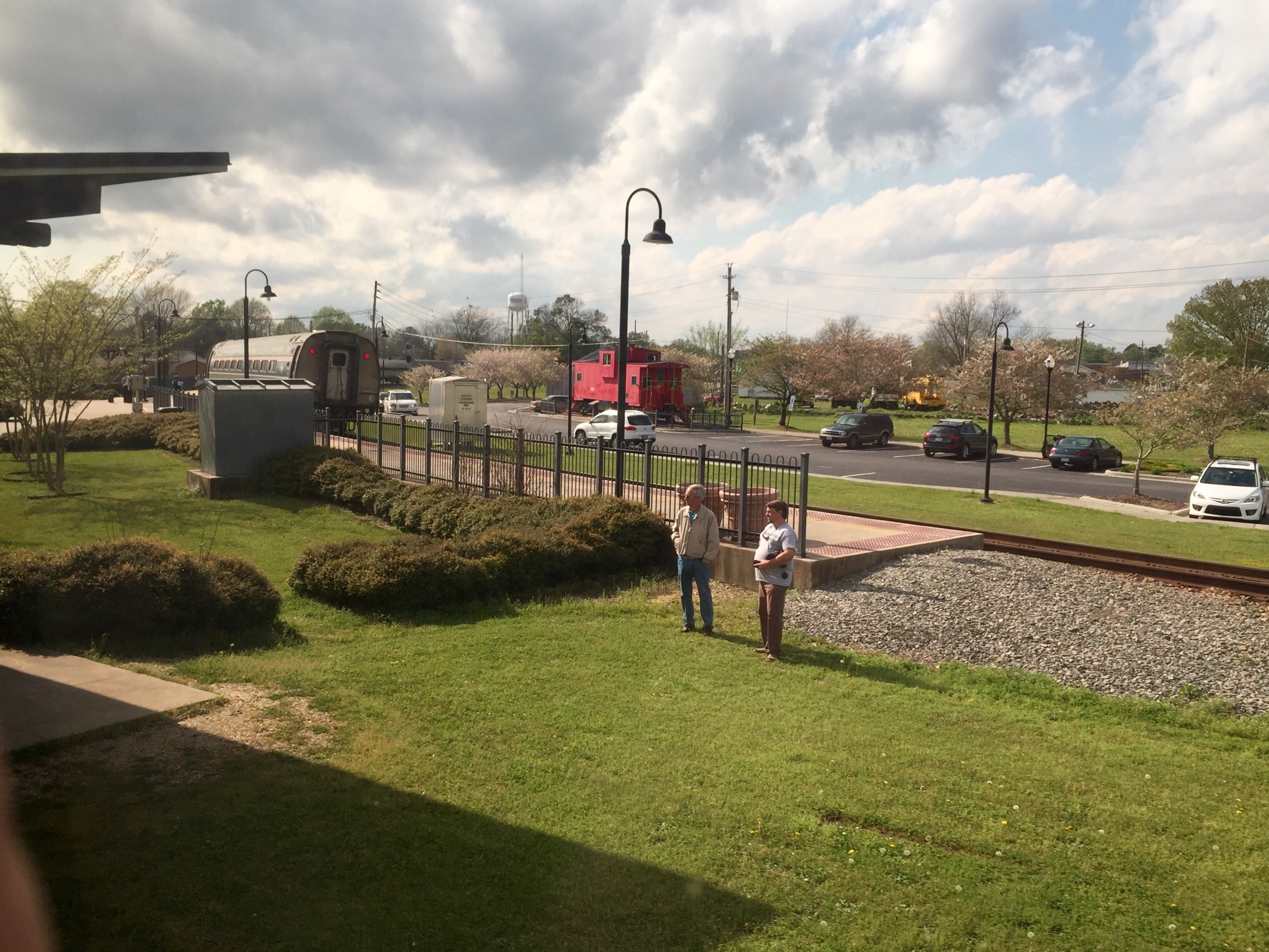
Sitting outside of Selma, NC station waiting for an hour-late train, and splitting a 40 with friends. ???? #train #nc #beer #selmanc #selma #VSCOcam

The Town of Pikeville
Topographic Map of Radford Road, Radford Rd, North Carolina, USA
Find elevation by address:

Places near Radford Road, Radford Rd, North Carolina, USA:
Pinkney Church Rd, Fremont, NC, USA
Kenly
Beulah
Old Stancil Rd, Kenly, NC, USA
128 Cessna Ln
Pine Level
Springhill Church Rd, Lucama, NC, USA
Springhill
Springfield School Road
3088 Nc-39
49 Dr M.l.k. Jr. Way
Selma
North Carolina 39
Selma
1003 S Pollock St
708 N Brightleaf Blvd
Turner Drive
Smithfield
Smithfield Neuse Riverwalk
520 Buffalo Rd
Recent Searches:
- Elevation of 6 Rue Jules Ferry, Beausoleil, France
- Elevation of Sattva Horizon, 4JC6+G9P, Vinayak Nagar, Kattigenahalli, Bengaluru, Karnataka, India
- Elevation of Great Brook Sports, Gold Star Hwy, Groton, CT, USA
- Elevation of 10 Mountain Laurels Dr, Nashua, NH, USA
- Elevation of 16 Gilboa Ln, Nashua, NH, USA
- Elevation of Laurel Rd, Townsend, TN, USA
- Elevation of 3 Nestling Wood Dr, Long Valley, NJ, USA
- Elevation of Ilungu, Tanzania
- Elevation of Yellow Springs Road, Yellow Springs Rd, Chester Springs, PA, USA
- Elevation of Rēzekne Municipality, Latvia