Elevation of Rabbit Creek Rd, Franklin, NC, USA
Location: United States > North Carolina > Macon County > Franklin > Franklin >
Longitude: -83.332909
Latitude: 35.2123483
Elevation: 663m / 2175feet
Barometric Pressure: 94KPa
Elevation Map:
Satellite Map:
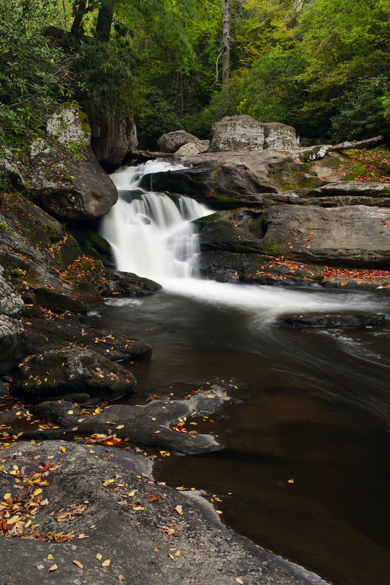
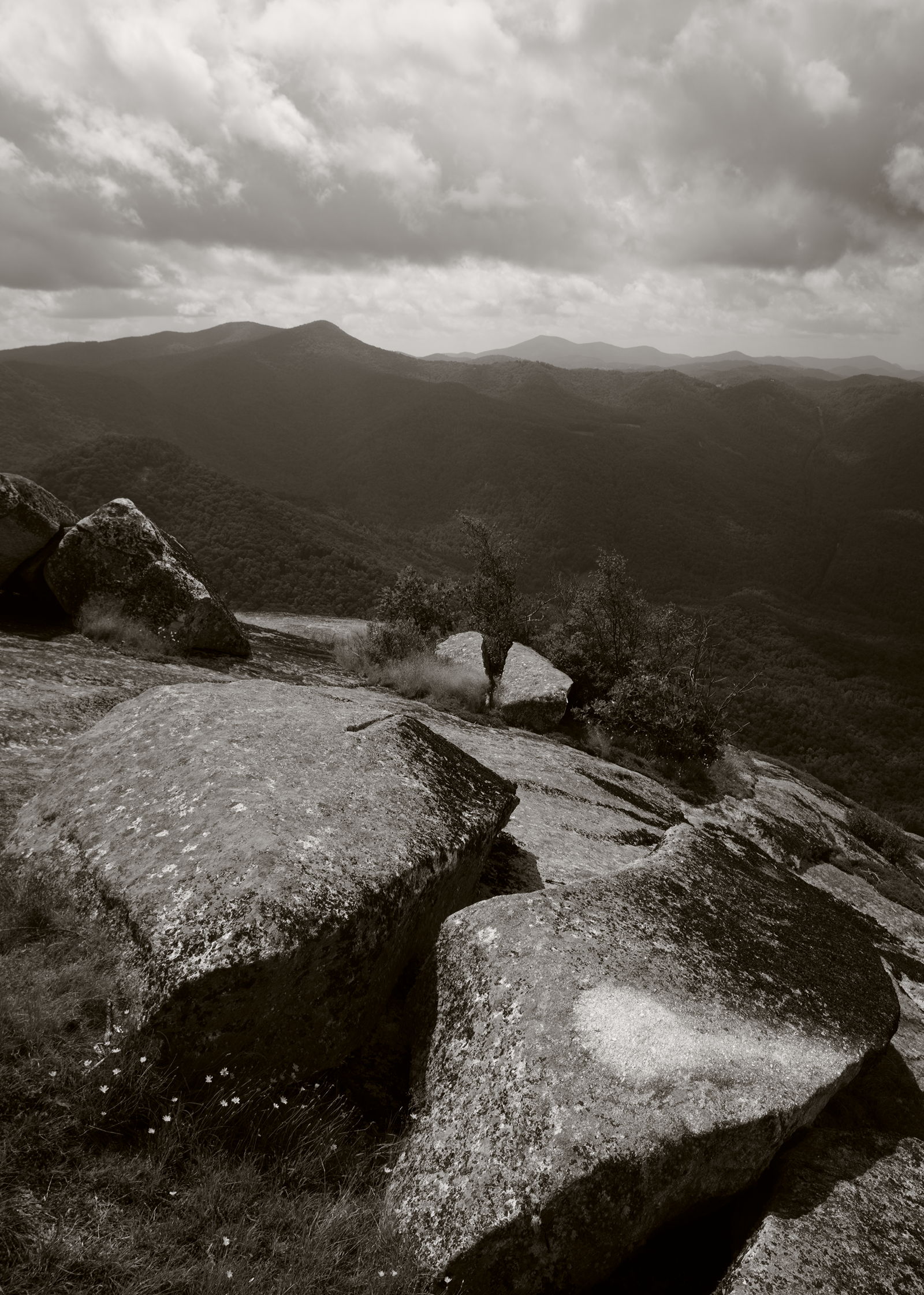
Related Photos:
Upper Scadin

Cascades Dropping Into Cullasaja Falls

Cullasaja dream

Water pressure

Peaceful View

Cullasaja Falls - Highlands, North Carolina.

Fringed Phacelia

Cowee Bald Fire Tower - North Carolina

prison break!

Mountain View, Speedwell, NC

Mountain View, Speedwell, NC

Mountain Waters Scenic Byway, Between Franklin and Highlands, North Carolina

Fire Pink

View of Downtown from White Oak Street, Franklin, NC
On the shoulder of a giant

Cullasaja Falls, Redux

Gorge secrets

Gorge secrets II
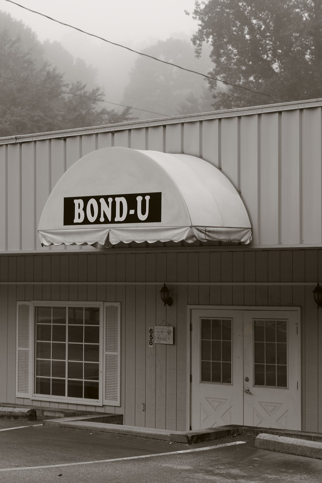
For when U need it

Cullasaja Falls, NC

Mountain Waters Scenic Byway, Between Franklin and Highlands, North Carolina

Harbinger of fall

North Carolina Highlands NC Autumn River Gorge

Dry Falls-7338

Dry Falls-7332
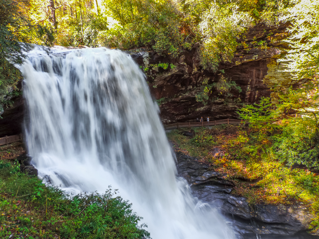
Dry Falls-7282
Morning on Main Street

Dry Falls-7342

Smoky Mountains

Cullasaja Falls Mid-Section

Dry Falls-7298

Dry Falls-7335

Dry Falls-7329

Quarry Falls

Fields of Gold | Franklin, NC

Dry Falls-7297

Cullasaja River, cascade, Nantahala National Forest, Macon County, North Carolina 2

Quarry Falls

Jackson County Airport 24A in Cullowhee, NC
Topographic Map of Rabbit Creek Rd, Franklin, NC, USA
Find elevation by address:

Places near Rabbit Creek Rd, Franklin, NC, USA:
287 Gregory Rd
579 Holly Terrace Rd
131 Holly Hill Ln
Gregory Road
1099 Onion Mountain Rd
1011 Onion Mountain Rd
1011 Onion Mountain Rd
1070 Franklin Farm Rd
662 Holly Springs Estates Rd
Millshoal
339 Holly Springs Estates Rd
86 Grace Starr Rd
109 Grace Starr Rd
109 Grace Starr Rd
17 Grace Starr Rd
136 Grace Starr Rd
160 Onion Mountain Rd
178 Onion Mountain Rd
178 Onion Mountain Rd
602 Franklin Farm Rd
Recent Searches:
- Elevation of Congressional Dr, Stevensville, MD, USA
- Elevation of Bellview Rd, McLean, VA, USA
- Elevation of Stage Island Rd, Chatham, MA, USA
- Elevation of Shibuya Scramble Crossing, 21 Udagawacho, Shibuya City, Tokyo -, Japan
- Elevation of Jadagoniai, Kaunas District Municipality, Lithuania
- Elevation of Pagonija rock, Kranto 7-oji g. 8"N, Kaunas, Lithuania
- Elevation of Co Rd 87, Jamestown, CO, USA
- Elevation of Tenjo, Cundinamarca, Colombia
- Elevation of Côte-des-Neiges, Montreal, QC H4A 3J6, Canada
- Elevation of Bobcat Dr, Helena, MT, USA