Elevation of R T Stanley Rd, Lyons, GA, USA
Location: United States > Georgia > Toombs County >
Longitude: -82.250475
Latitude: 32.0730842
Elevation: 55m / 180feet
Barometric Pressure: 101KPa
Elevation Map:
Satellite Map:
Related Photos:

Lyons Cub 2

Lyons Cub 4

Lyons Cub 3

Lyons Cub 5

Lyons Cub 1
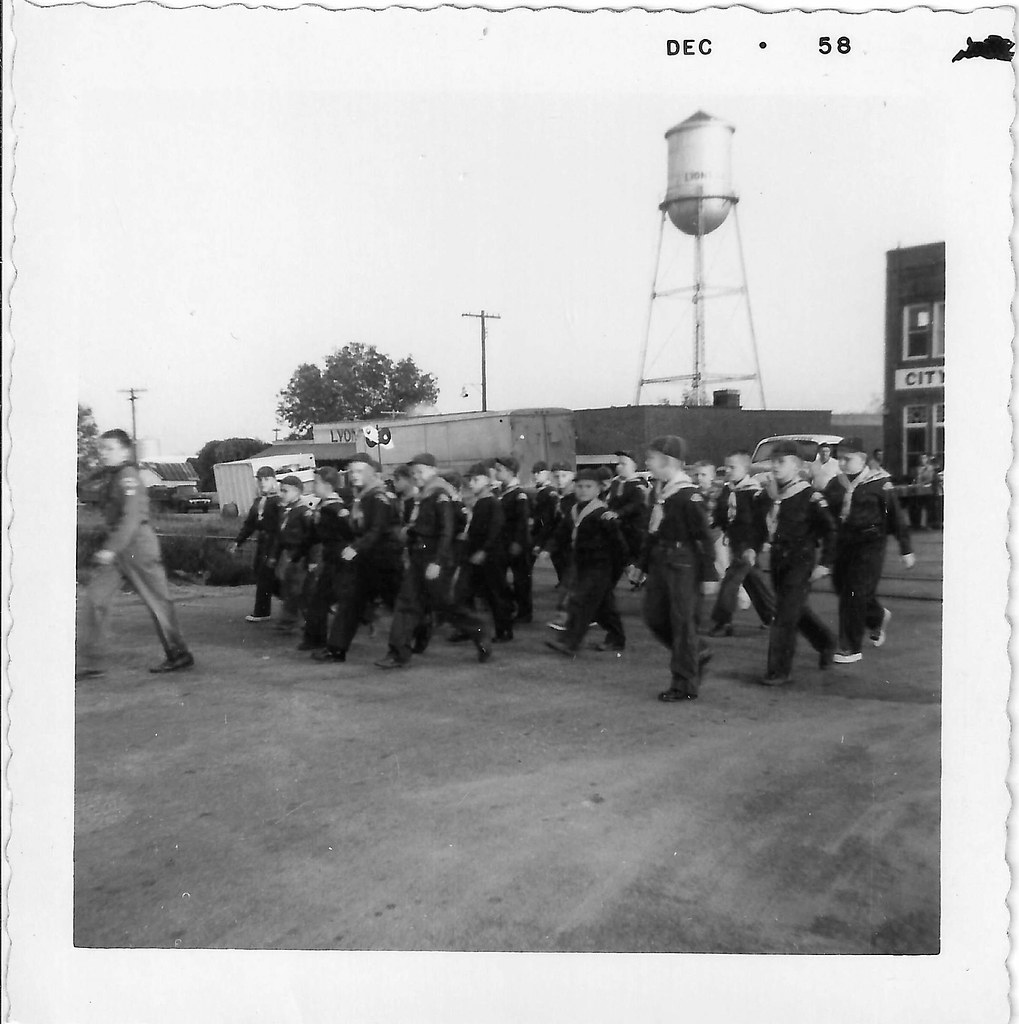
Lyons Cub Parade 1
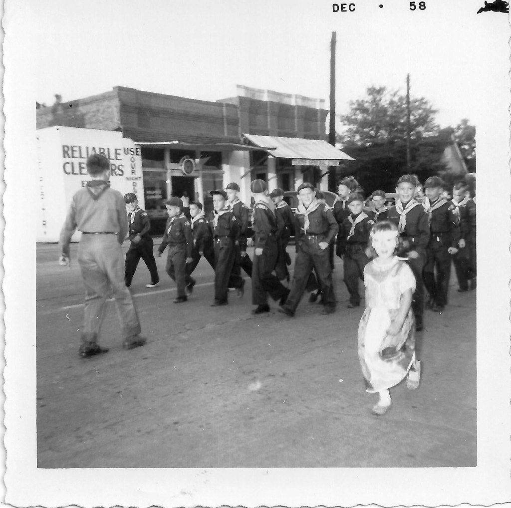
Lyons Cub Parade 3

Lyons Cub Parade 2

A field of dead sunflowers …

Sun-kissed …

Forest …
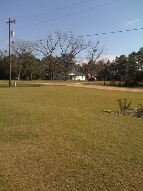
Reidsville, Dec 20, 2009
Topographic Map of R T Stanley Rd, Lyons, GA, USA
Find elevation by address:

Places near R T Stanley Rd, Lyons, GA, USA:
1025 Oak Bluff Plantation Rd
Toombs County
Earl Kemp Rd, Lyons, GA, USA
Brangus Lane
Gordonia Altamaha State Park
21 Sleigh St, Lyons, GA, USA
GA-29, Vidalia, GA, USA
Georgia 178
Georgia 178
W Brazell St, Reidsville, GA, USA
Reidsville
112 Roberta St
Lyons
NE Broad St, Lyons, GA, USA
Tattnall County
Collins
Manassas St, Collins, GA, USA
Davis Landing, Baxley, GA, USA
Deen's Landing Road
93 White Bluff Rd
Recent Searches:
- Elevation of W Granada St, Tampa, FL, USA
- Elevation of Pykes Down, Ivybridge PL21 0BY, UK
- Elevation of Jalan Senandin, Lutong, Miri, Sarawak, Malaysia
- Elevation of Bilohirs'k
- Elevation of 30 Oak Lawn Dr, Barkhamsted, CT, USA
- Elevation of Luther Road, Luther Rd, Auburn, CA, USA
- Elevation of Unnamed Road, Respublika Severnaya Osetiya — Alaniya, Russia
- Elevation of Verkhny Fiagdon, North Ossetia–Alania Republic, Russia
- Elevation of F. Viola Hiway, San Rafael, Bulacan, Philippines
- Elevation of Herbage Dr, Gulfport, MS, USA