Elevation of Río Florido, Zac., Mexico
Location: Mexico > Zacatecas > Fresnillo >
Longitude: -102.99171
Latitude: 23.346622
Elevation: 2031m / 6663feet
Barometric Pressure: 79KPa
Elevation Map:
Satellite Map:
Related Photos:

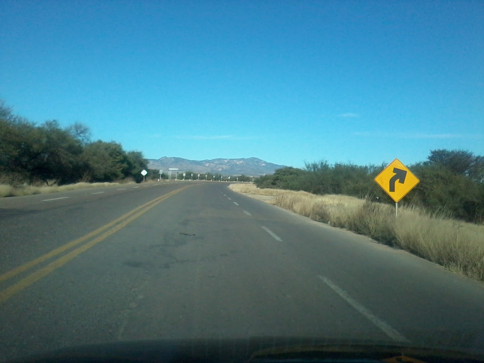
Cap et luc

Pocas veces puedes poner esto en tu mapa @ Trópico de Cáncer
2013-12-08 09.35.31
Topographic Map of Río Florido, Zac., Mexico
Find elevation by address:

Places in Río Florido, Zac., Mexico:
Places near Río Florido, Zac., Mexico:
Fresnillo -Sain Alto 20, Altamira, Zac., Mexico
Fresnillo
Fresnillo
Cañitas De Felipe Pescador
Cañitas De Felipe Pescador
12 de Oct. 17, Centro, Cañitas de Felipe Pescador, Zac., Mexico
Centro
Victoria 3, Huejuquilla, Jal., Mexico
Recent Searches:
- Elevation of Warwick, RI, USA
- Elevation of Fern Rd, Whitmore, CA, USA
- Elevation of 62 Abbey St, Marshfield, MA, USA
- Elevation of Fernwood, Bradenton, FL, USA
- Elevation of Felindre, Swansea SA5 7LU, UK
- Elevation of Leyte Industrial Development Estate, Isabel, Leyte, Philippines
- Elevation of W Granada St, Tampa, FL, USA
- Elevation of Pykes Down, Ivybridge PL21 0BY, UK
- Elevation of Jalan Senandin, Lutong, Miri, Sarawak, Malaysia
- Elevation of Bilohirs'k