Elevation of R. Mal. Deodoro, -, Tefé - AM, -, Brazil
Location: Brazil >
Longitude: -64.710779
Latitude: -3.3477724
Elevation: 50m / 164feet
Barometric Pressure: 101KPa
Elevation Map:
Satellite Map:
Related Photos:
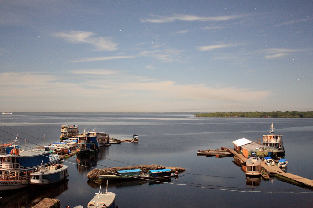
Porto a Luz da Lua
.
.
.
.

.
.

.
.
.
.
.
.
.
.
.
.
.
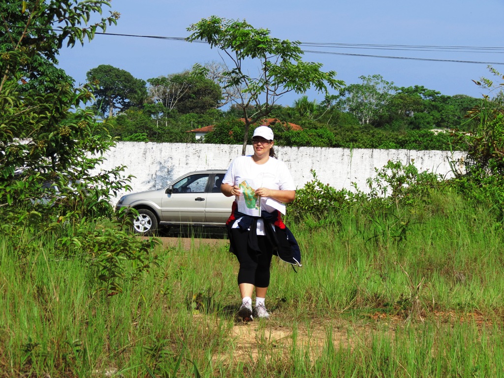
Tefe20Set14 001

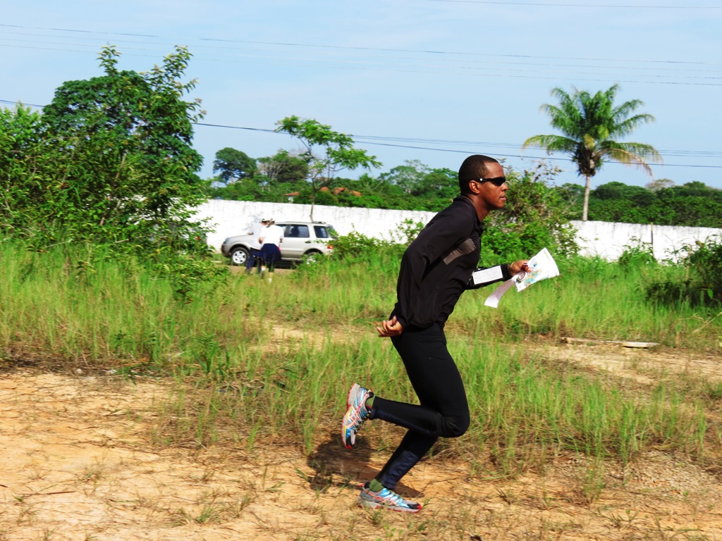
Tefe20Set14 002
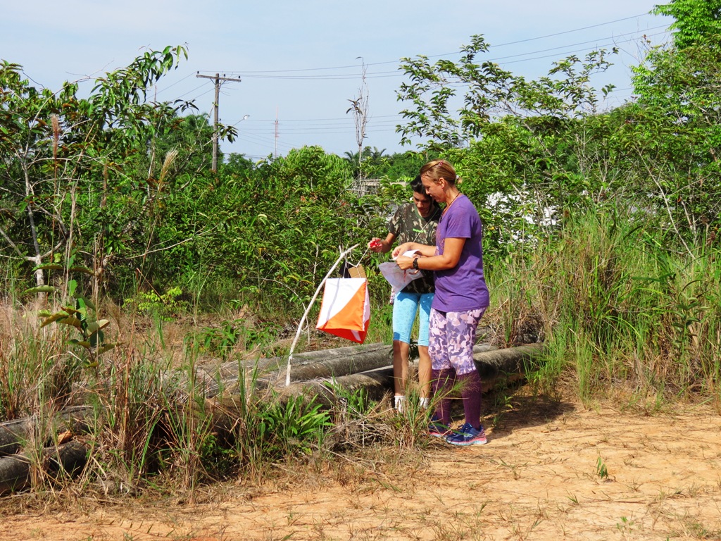
Tefe20Set14 004
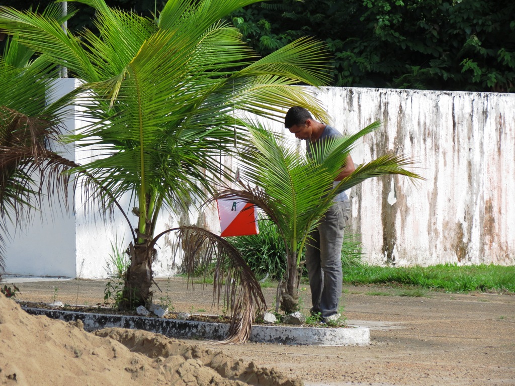
Tefe20Set14 007
Tefe20Set14 010
Topographic Map of R. Mal. Deodoro, -, Tefé - AM, -, Brazil
Find elevation by address:

Places near R. Mal. Deodoro, -, Tefé - AM, -, Brazil:
Recent Searches:
- Elevation of Unnamed Road, Respublika Severnaya Osetiya — Alaniya, Russia
- Elevation of Verkhny Fiagdon, North Ossetia–Alania Republic, Russia
- Elevation of F. Viola Hiway, San Rafael, Bulacan, Philippines
- Elevation of Herbage Dr, Gulfport, MS, USA
- Elevation of Lilac Cir, Haldimand, ON N3W 2G9, Canada
- Elevation of Harrod Branch Road, Harrod Branch Rd, Kentucky, USA
- Elevation of Wyndham Grand Barbados Sam Lords Castle All Inclusive Resort, End of Belair Road, Long Bay, Bridgetown Barbados
- Elevation of Iga Trl, Maggie Valley, NC, USA
- Elevation of N Co Rd 31D, Loveland, CO, USA
- Elevation of Lindever Ln, Palmetto, FL, USA