Elevation of R.I. Meyerholz Elementary School, Melvin Dr, San Jose, CA, USA
Location: United States > California > Santa Clara County > San Jose > West San Jose >
Longitude: -122.02642
Latitude: 37.3064954
Elevation: 78m / 256feet
Barometric Pressure: 100KPa
Elevation Map:
Satellite Map:
Related Photos:
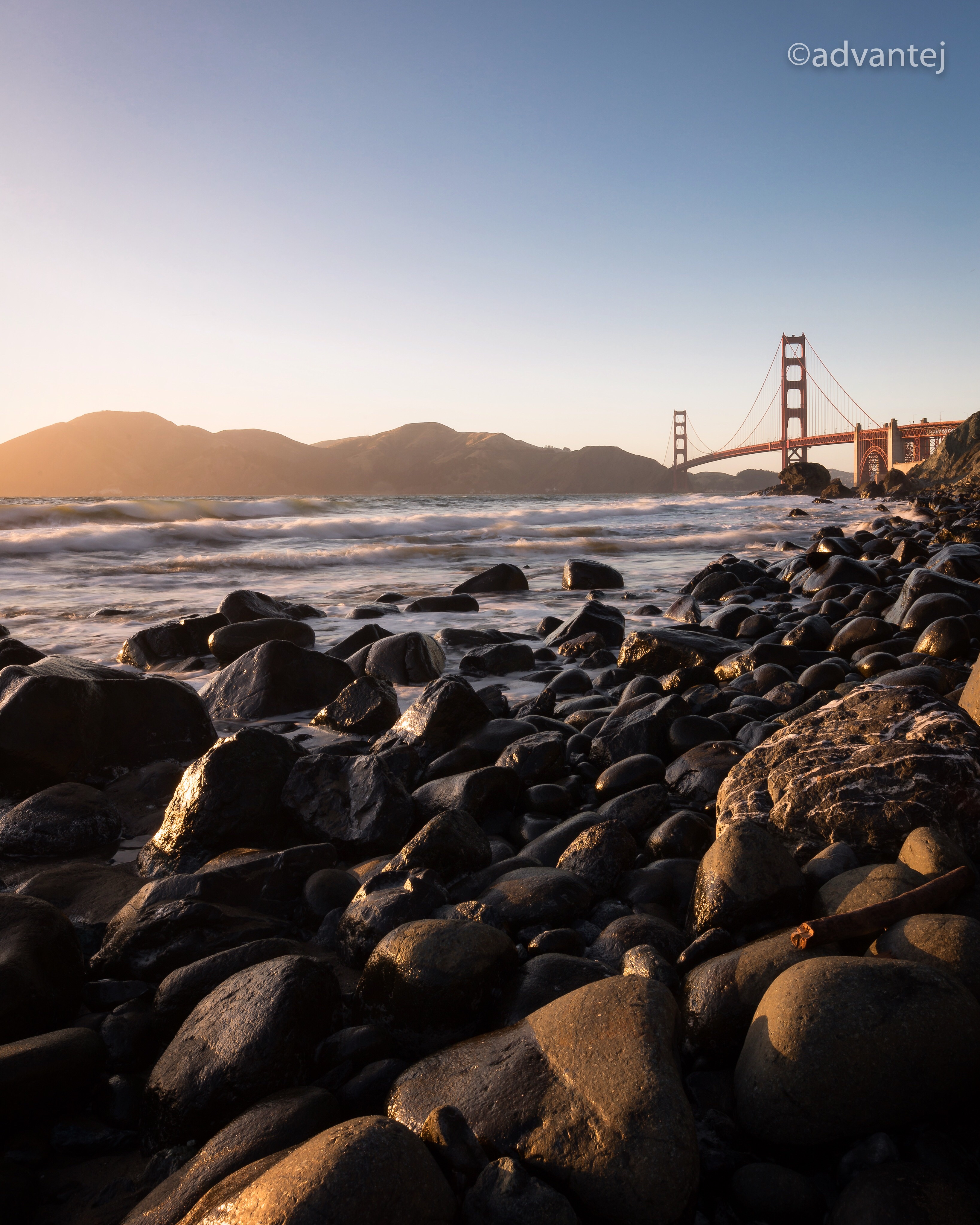
Perfect view?
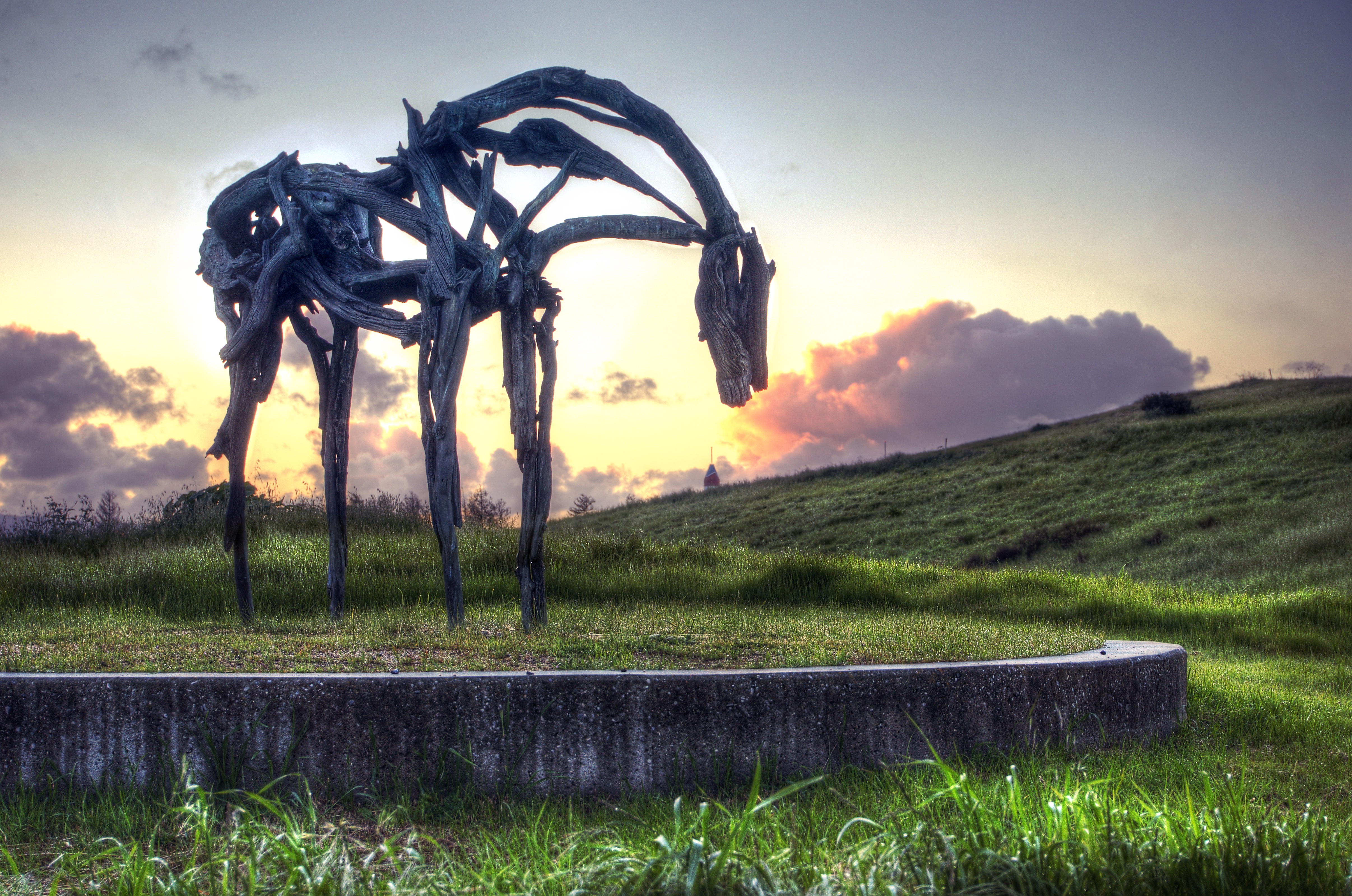
Fire breathing dragon

IMG_5922 Forster's Tern Hovering, Mountain View Shoreline Park, California

IMG_2314 Forster's Tern

IMG_0173 Here I Come! Mountain View Shoreline Park, CA

Proficient dive bomber - Forster's Tern
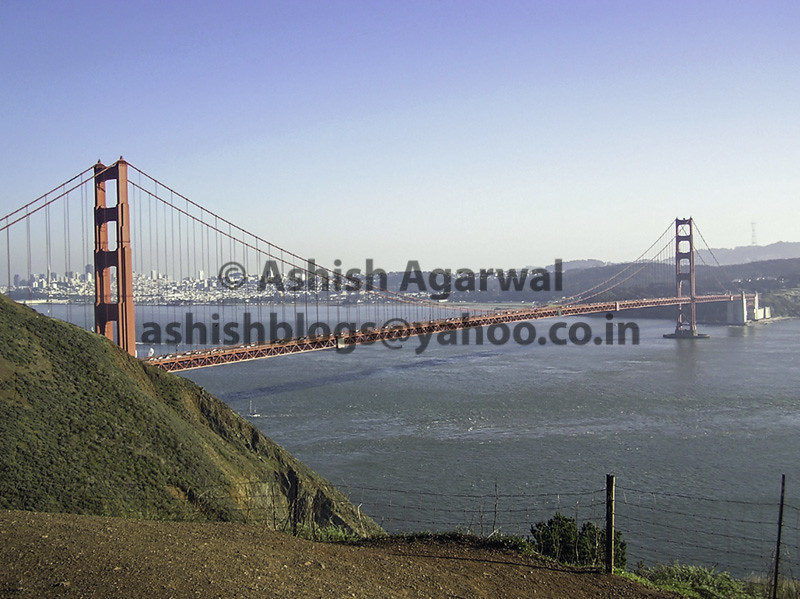
View of the Golden Gate Bridge and San Francisco from a distance

IMG_1868 Forster's Tern, Mountain View Shoreline Park, CA

Green Heron (1st summer)
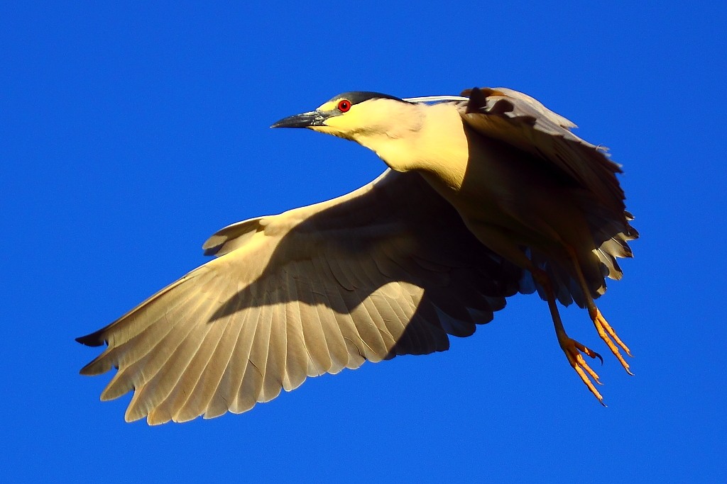
IMG_3569 Black-Crowned Night Heron
Greater Yellowlegs
Forster's Tern
Cracked Earth

IMG_1380 Let Me Feed You, Honey.

view from the Palo Alto hills down to the bay.
Reaching High
Morning Water

Love On The Rock

IMG_3580 Black-Crowned Night Heron
Blue Bird

Mary Avenue Bridge

Heavenly Shades of Night are Falling -- Reprise

Fields of Gold

Somewhere in heaven

And the wind cries Mary

Door of opportunities :)

April Skies | Palo Alto
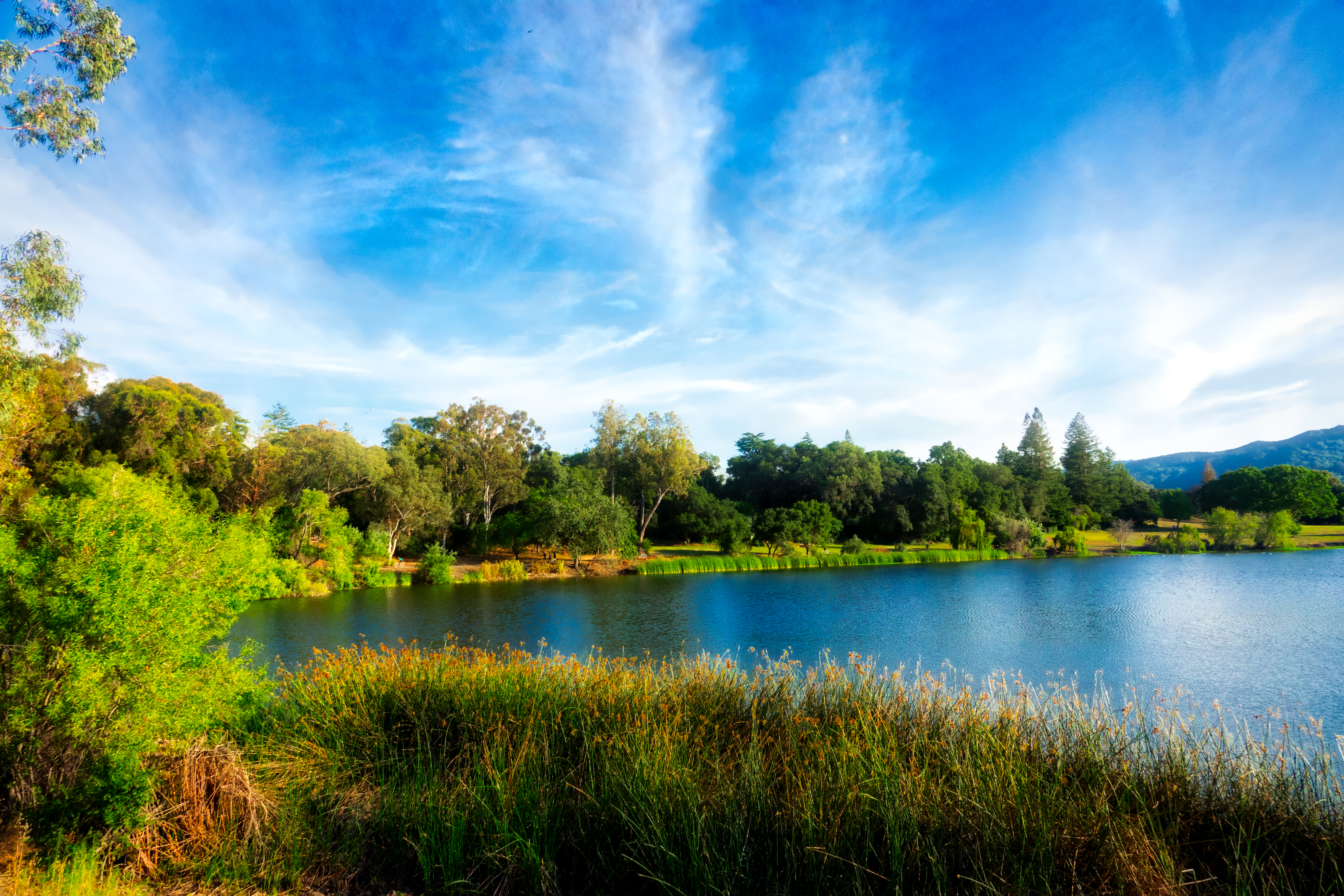
Vasona Lake
morning light in Saratoga Creek
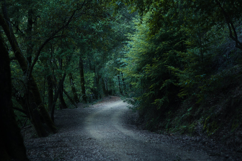
Enchanted Path

Alviso Blue Hour

Geese (HSS)

Heavenly shades of night are falling, it's twilight time ...

Home on the Farm
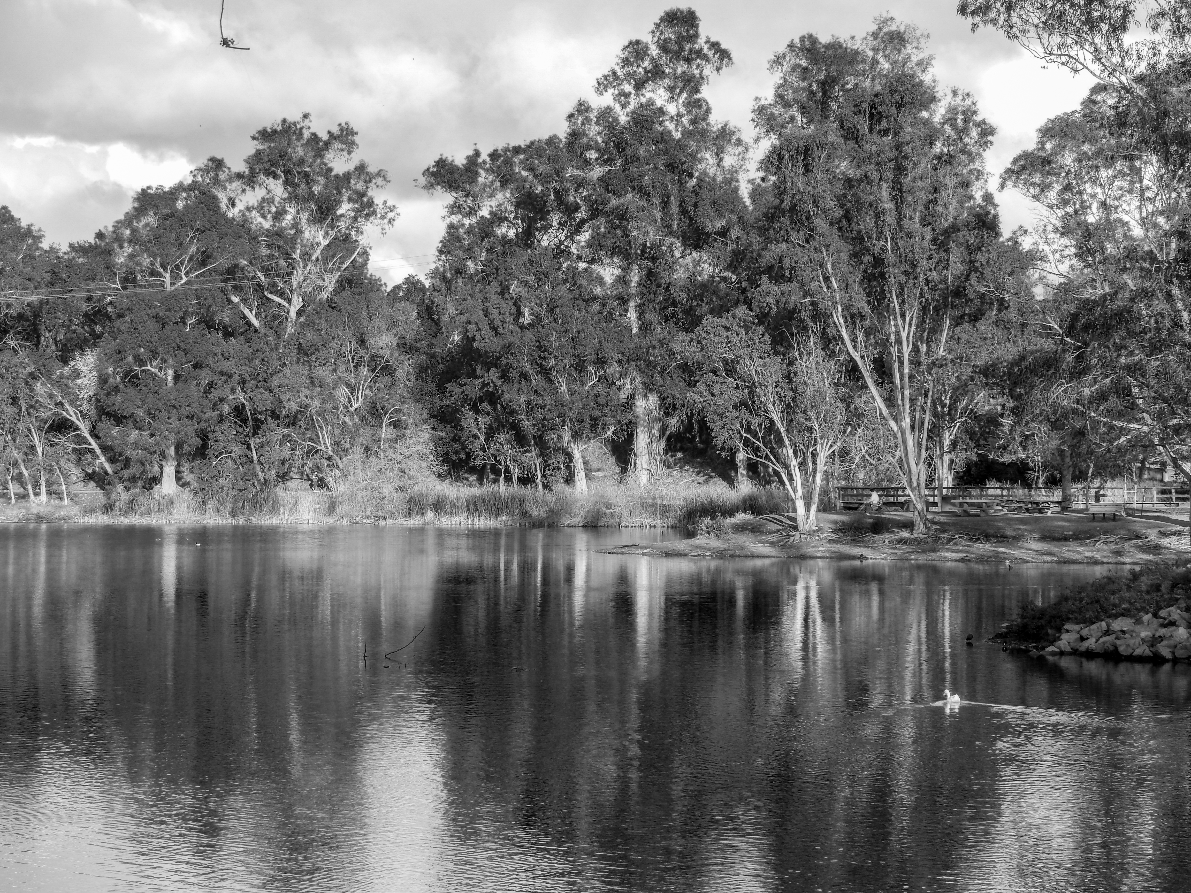
Vasona Lake HDR - Happy Sliders Sunday

Arastradero Pasture

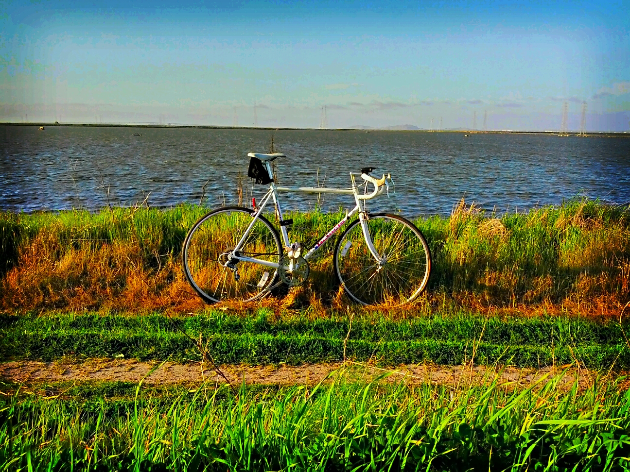
Great Long, Slow Day on the LG Creek Trail. The #408 has the best weather in the Bay Area #TeamRunTheBay #RunLocal #GetOnnit #nikeplus

~~Garden of PEACE #2~~
Vasona Lake
Shoreline Trail

Clouds at sunset - Happy Sliders Sunday

Trail to Heaven
Topographic Map of R.I. Meyerholz Elementary School, Melvin Dr, San Jose, CA, USA
Find elevation by address:

Places near R.I. Meyerholz Elementary School, Melvin Dr, San Jose, CA, USA:
Calabazas North
1155 Weyburn Ln
1175 Water Lily Way
Poppy Way
Joaquin Miller
Marilla Drive
Saratoga Lane By Summerhill Homes
12154 Terrence Ave
5974 Friar Way
Scully Avenue
Royal Ann Drive
Blue Hills
Blue Meadow Ct, Saratoga, CA, USA
Golden Triangle
20175 Williamsburg Ln
12151 Country Squire Ln
19947 Garnett Ct
1409 Brook Glen Dr
5622 Ora St
Ten Oak Way
Recent Searches:
- Elevation of Tenjo, Cundinamarca, Colombia
- Elevation of Côte-des-Neiges, Montreal, QC H4A 3J6, Canada
- Elevation of Bobcat Dr, Helena, MT, USA
- Elevation of Zu den Ihlowbergen, Althüttendorf, Germany
- Elevation of Badaber, Peshawar, Khyber Pakhtunkhwa, Pakistan
- Elevation of SE Heron Loop, Lincoln City, OR, USA
- Elevation of Slanický ostrov, 01 Námestovo, Slovakia
- Elevation of Spaceport America, Co Rd A, Truth or Consequences, NM, USA
- Elevation of Warwick, RI, USA
- Elevation of Fern Rd, Whitmore, CA, USA