Elevation of Quarter Horse Ln, Waller, TX, USA
Location: United States > Texas > Waller County > Waller >
Longitude: -95.875026
Latitude: 30.2418341
Elevation: 89m / 292feet
Barometric Pressure: 100KPa
Elevation Map:
Satellite Map:
Related Photos:

Black Crown

Belly Dancers at The Fest

Chain Mail Red Head

Red Head Beauty at the Fest

Texas: Where the Deer and the Antelope Play

Lone "Indian" - Whitehall, TX

Real Beauty with a wonderful smile

Decked out Barbarians

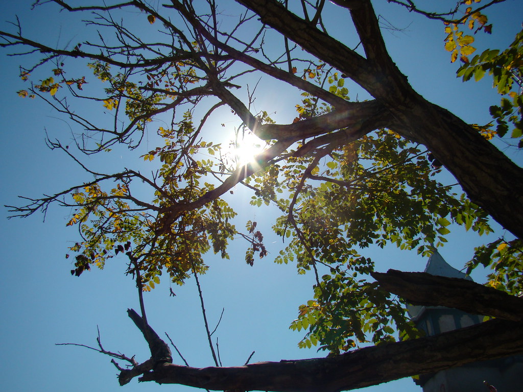
Heightened View

Papa Merlyn

The Texan

Beautiful Fairy

Barbarian Couple Enjoying the Day

Laid Back Barbarian

Barbarian Leader
view up

Painted Warrior

TRF_Barbarian_2012-1601.jpg

Black Widow

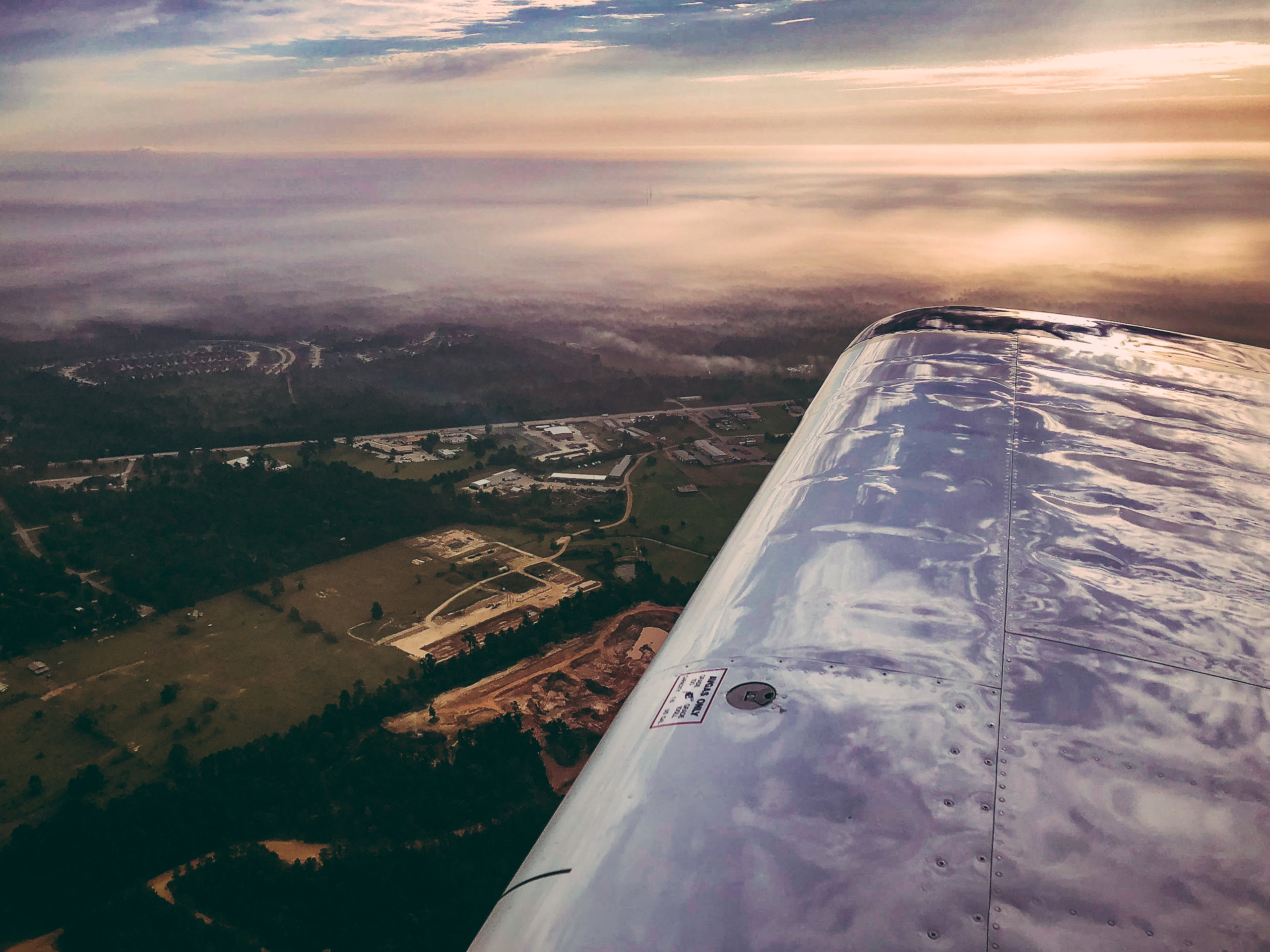
The fields in the mists of sunrise
Texas Renaissance Festival November 2008 - pan

Sunset Along FM 1488
Soaring Club of Houston, Waller, TX
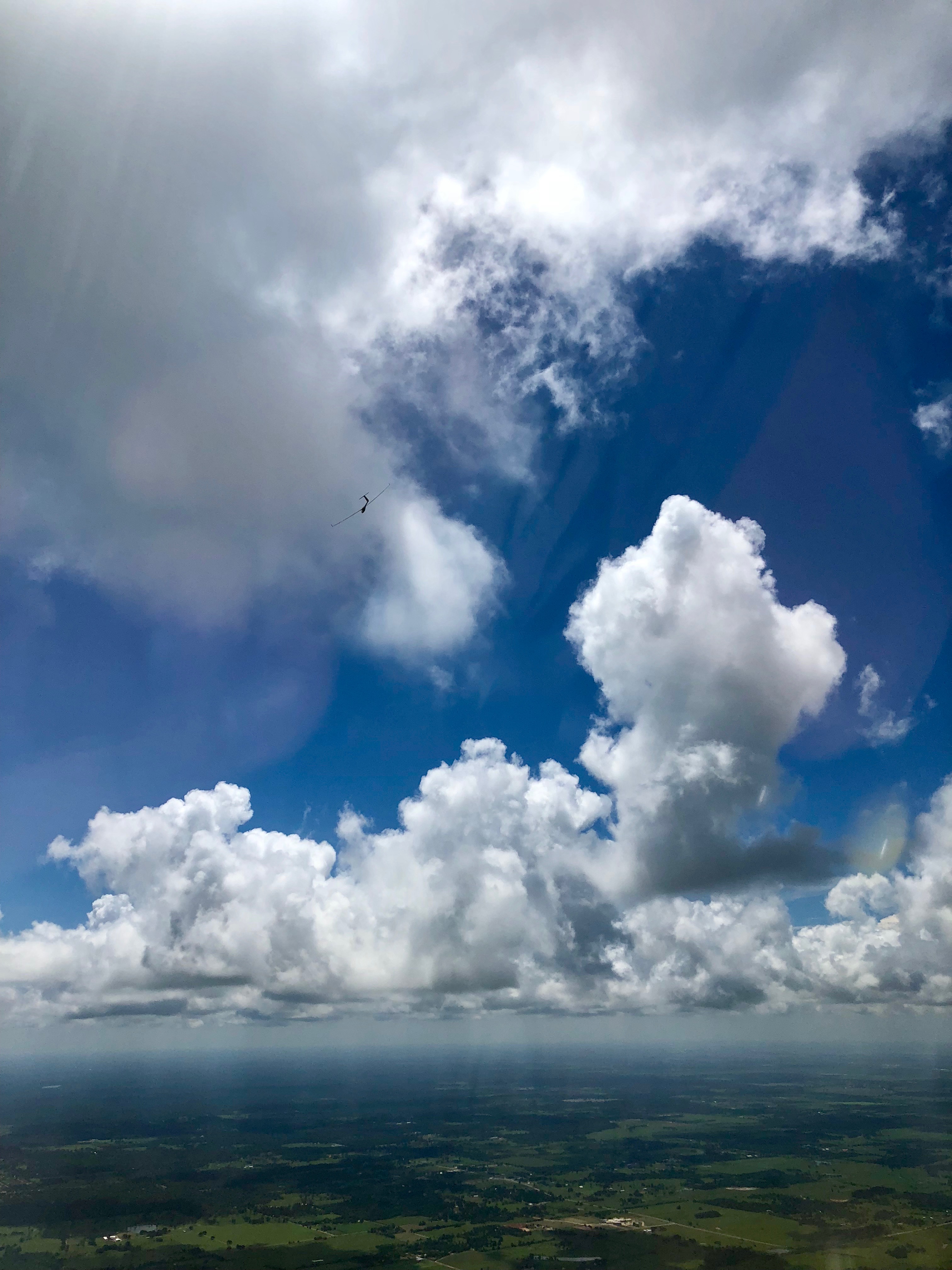
Clouds on the Texas Prairie

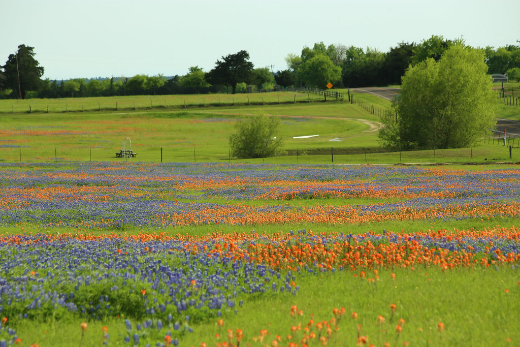
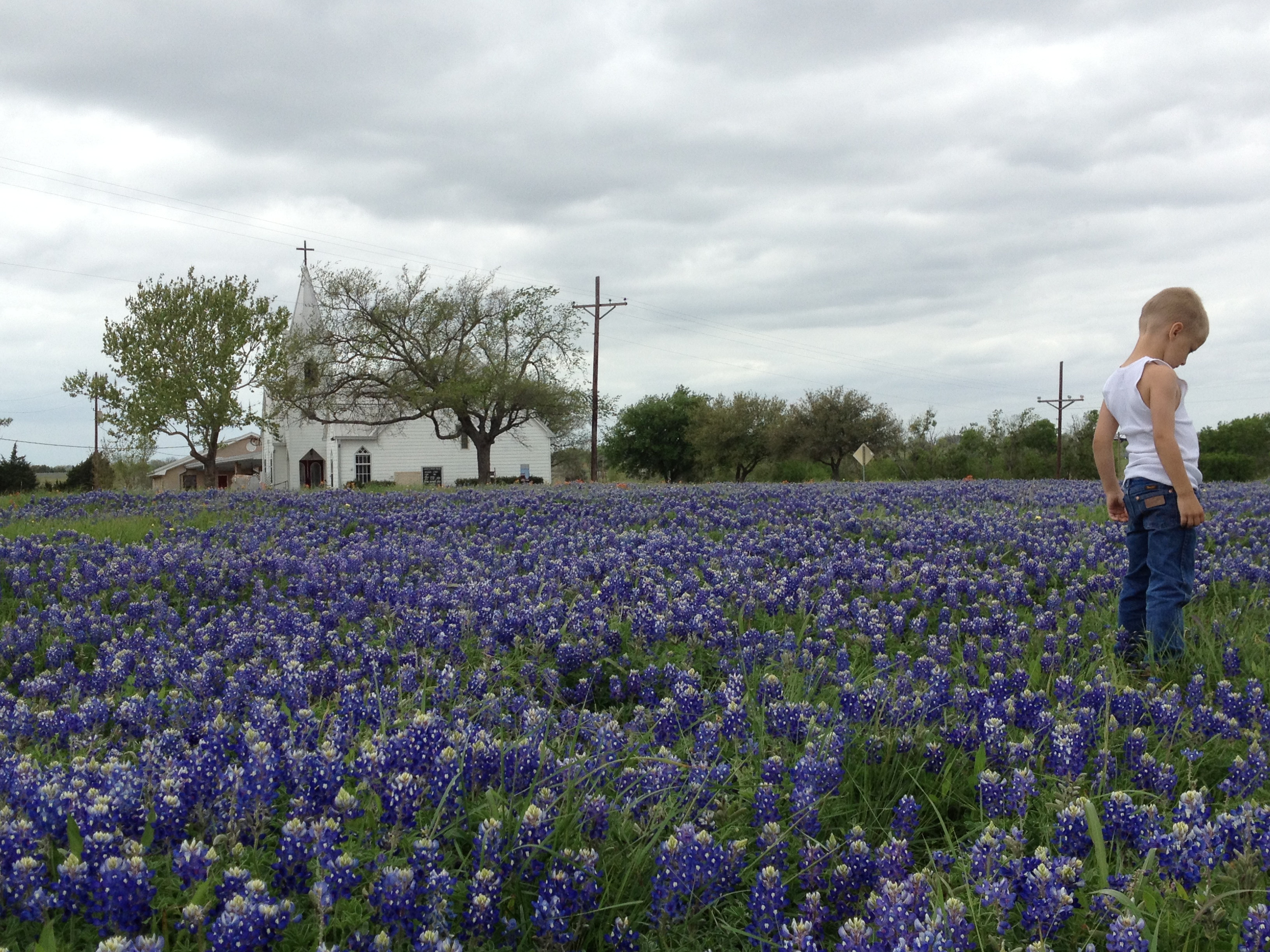
Texas Bluebonnets at Dawn
Sunset.jpg
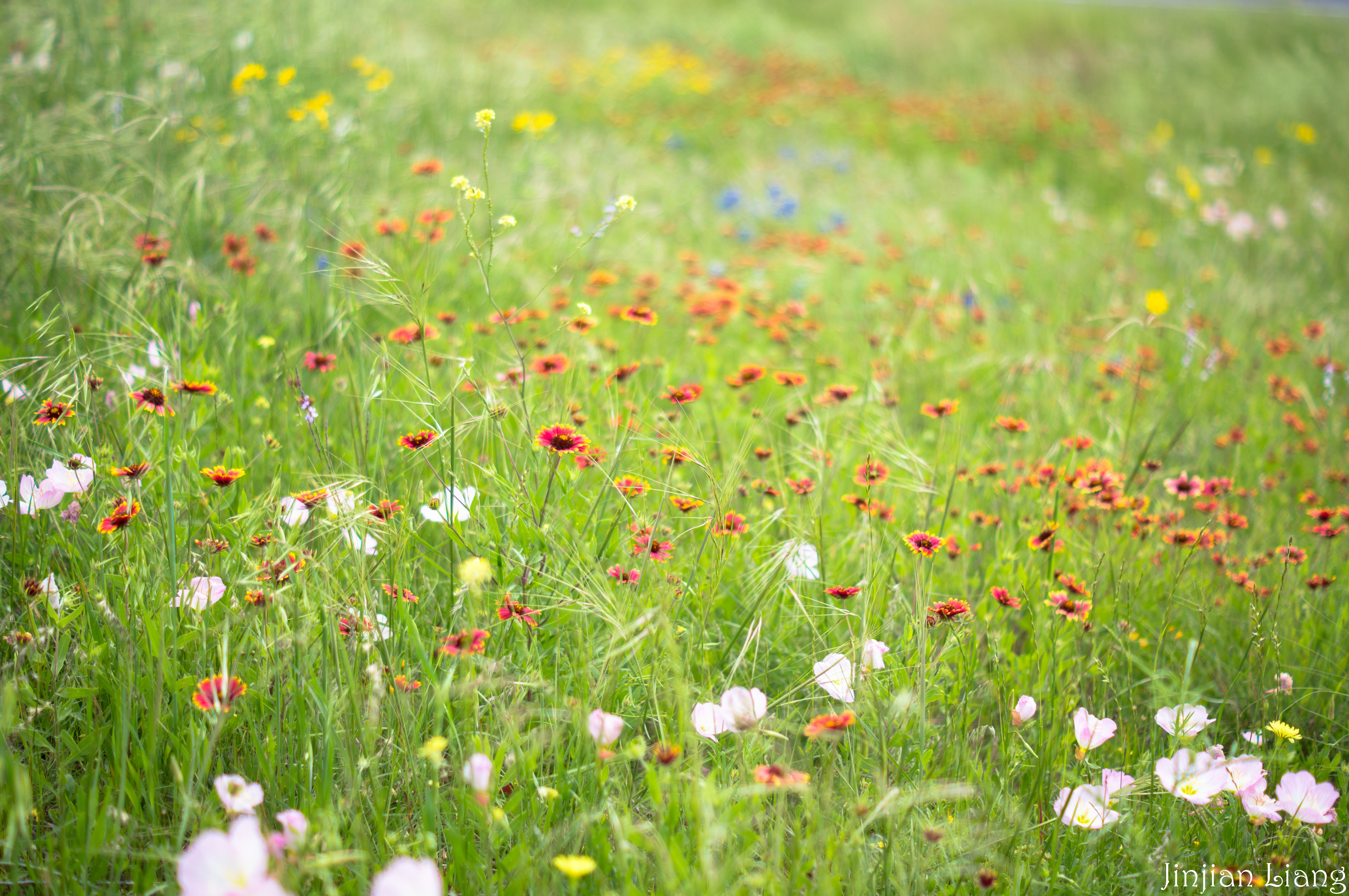
Sea of flowers

my father and grandmother

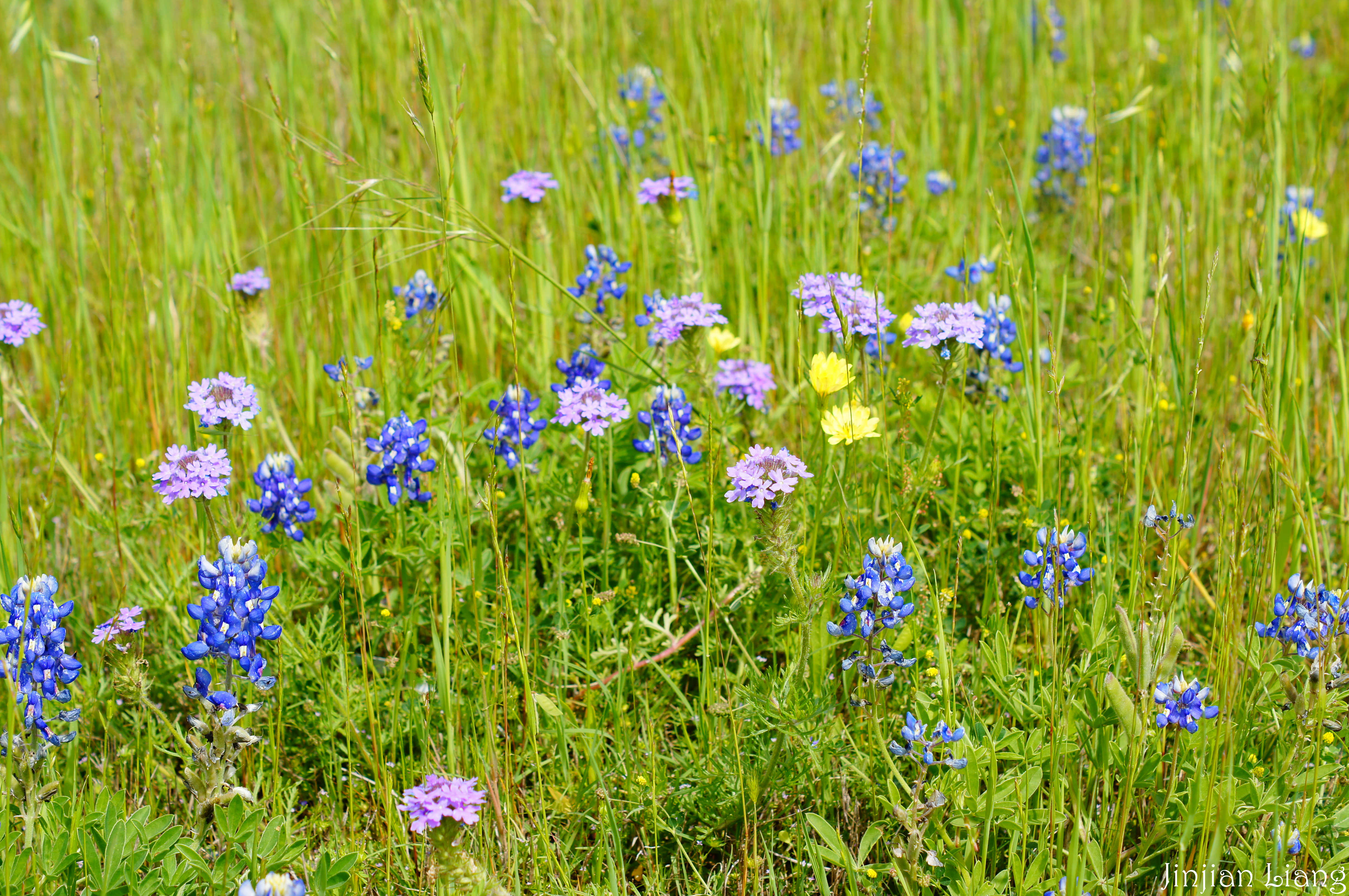
Red and Blue

A "Wave" of Bluebonnets - Whitehall, TX

Indian paintbrush and blue skies
DSC06304.jpg
craigs pic for Jonnie 201
DSC06250.jpg
Checking out the bluebonnets

jumping in blue

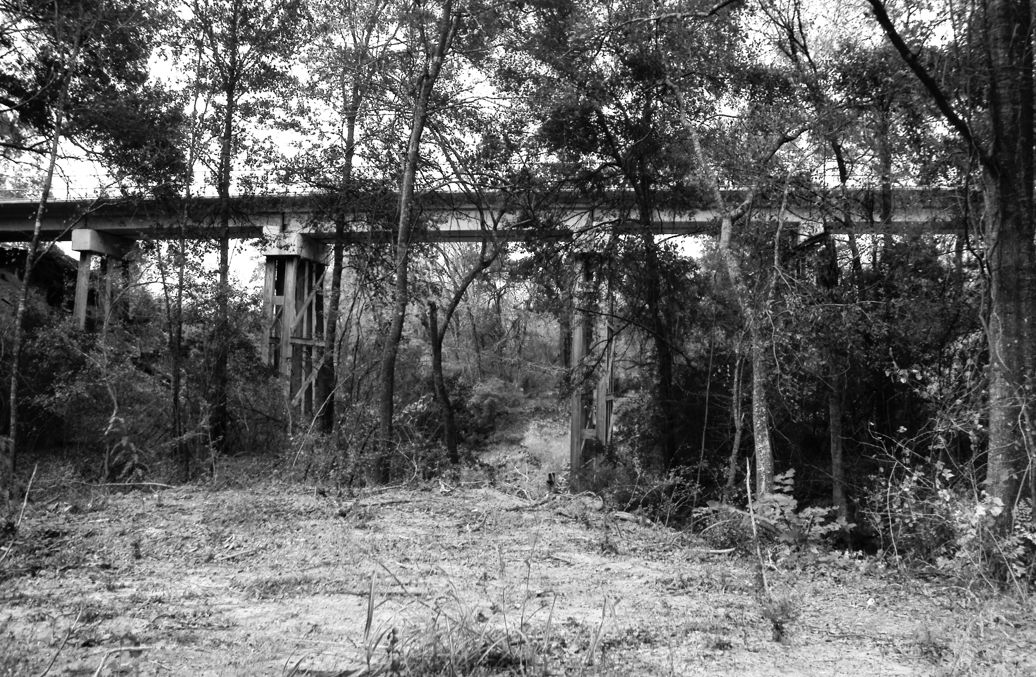
Beason Creek Bridge, Grimes County, Texas1125101248BW
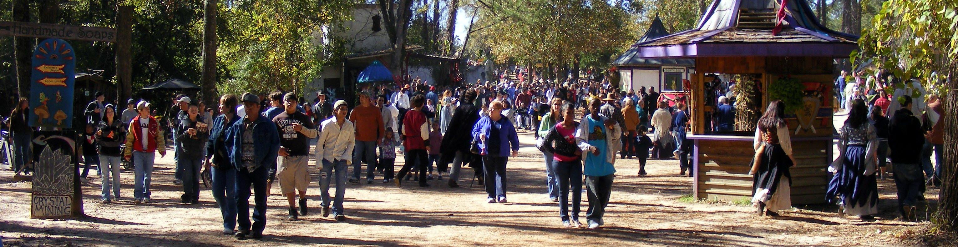
Texas Renaissance Festival
Railroad Bridge, south of Highway 105, west of Plantersville, Texas 1125101355BW
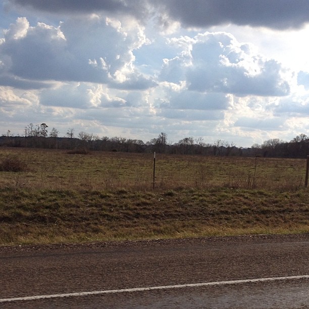
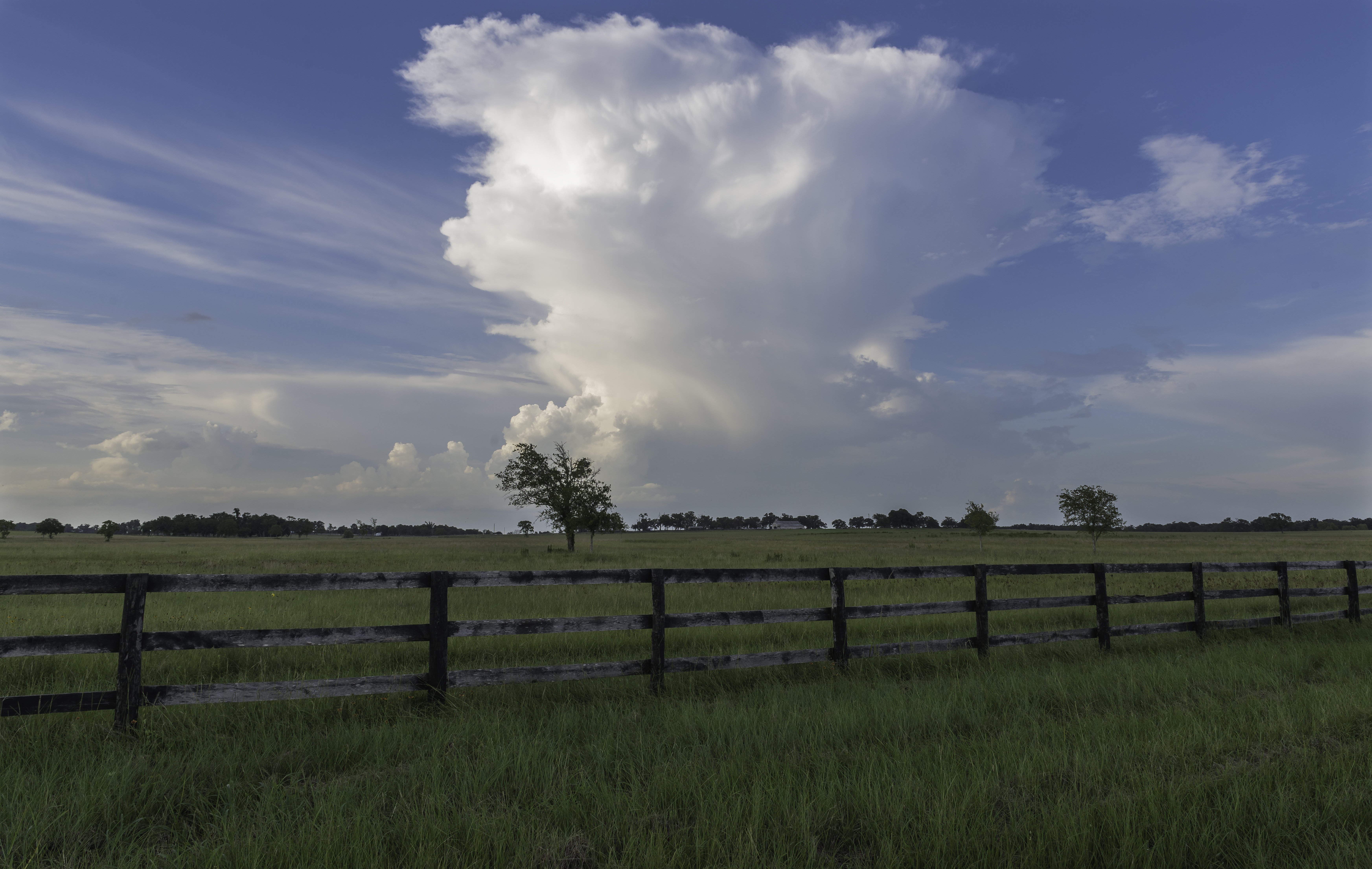
Clouds along the Texas Highway.

My Parents
Topographic Map of Quarter Horse Ln, Waller, TX, USA
Find elevation by address:

Places near Quarter Horse Ln, Waller, TX, USA:
17871 Apaloosa Dr
8504 Austin Ave
27777 Bareback Ln
16549 Azalea Ln
16078 Willow Oak Dr
Dogwood Lane
10638 Willow Oak Dr
7372 Dogwood
103 Loblolly
103 Loblolly
103 Loblolly
312 Loblolly
312 Loblolly
Renfaire Drive
10384 Renfaire Dr
County Road 302
10760 Renfaire Dr
Shadow Lake
7381 Millstone Dr
13276 County Rd 201
Recent Searches:
- Elevation of Sattva Horizon, 4JC6+G9P, Vinayak Nagar, Kattigenahalli, Bengaluru, Karnataka, India
- Elevation of Great Brook Sports, Gold Star Hwy, Groton, CT, USA
- Elevation of 10 Mountain Laurels Dr, Nashua, NH, USA
- Elevation of 16 Gilboa Ln, Nashua, NH, USA
- Elevation of Laurel Rd, Townsend, TN, USA
- Elevation of 3 Nestling Wood Dr, Long Valley, NJ, USA
- Elevation of Ilungu, Tanzania
- Elevation of Yellow Springs Road, Yellow Springs Rd, Chester Springs, PA, USA
- Elevation of Rēzekne Municipality, Latvia
- Elevation of Plikpūrmaļi, Vērēmi Parish, Rēzekne Municipality, LV-, Latvia