Elevation of Quail Hollow Dr, Bowling Green, OH, USA
Location: United States > Ohio > Wood County > Bowling Green >
Longitude: -83.673582
Latitude: 41.388708
Elevation: 206m / 676feet
Barometric Pressure: 99KPa
Elevation Map:
Satellite Map:
Related Photos:
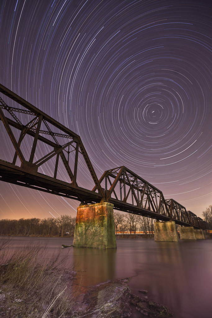
River in the Night
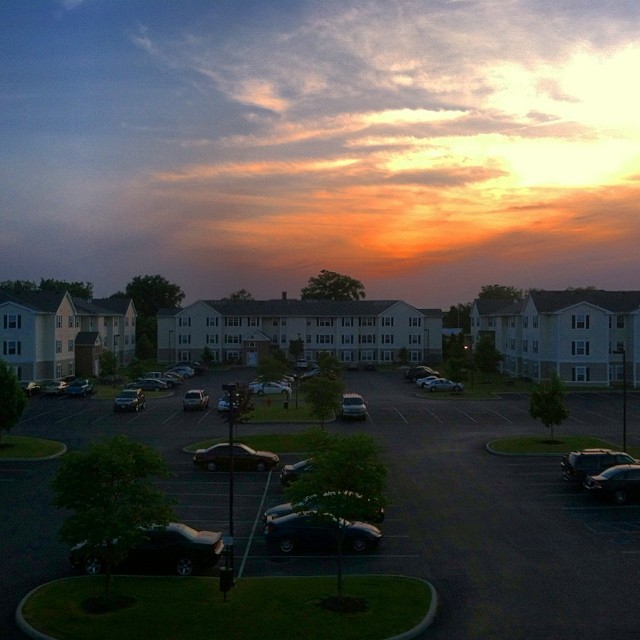
Last picture from this view. I'm leaving though bringing with me good moments from this place! Bye #falconspointe #sunset #June

Beautiful view #thanksgiving

Viewing leaves
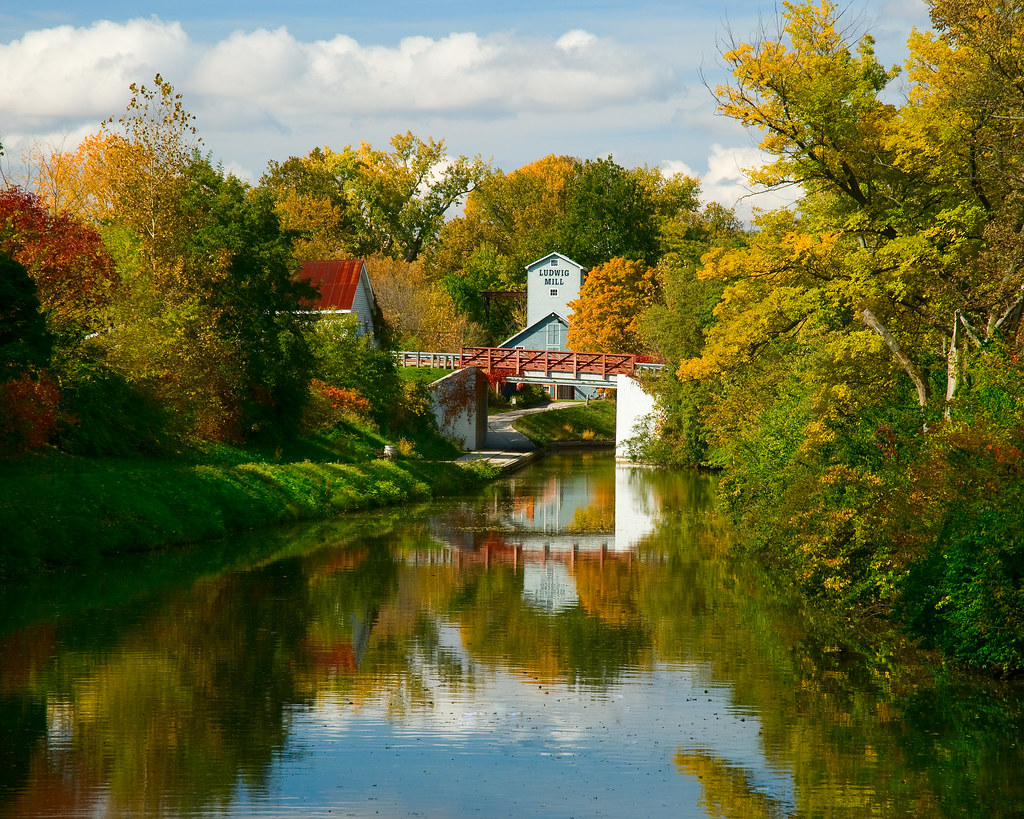
Bridge view of the canal

Bowling Green Soccer Fall Challenge (2013)
View from My Gym

Maumee River Sunset 3
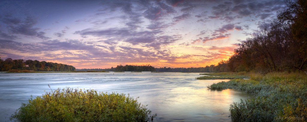
October Skies - Maumee River

Interurban Bridge

Across The River

The Old Bridge
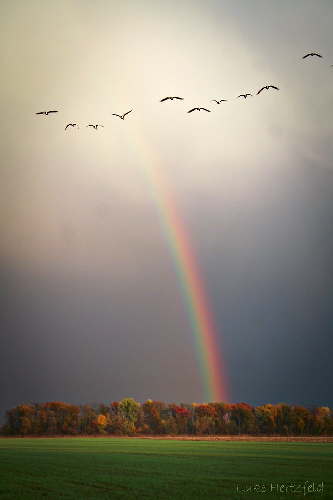
Pot-O-Gold - Explore #32

Trail of Redbuds

Nothing Left But The Corn

The Iron Horse
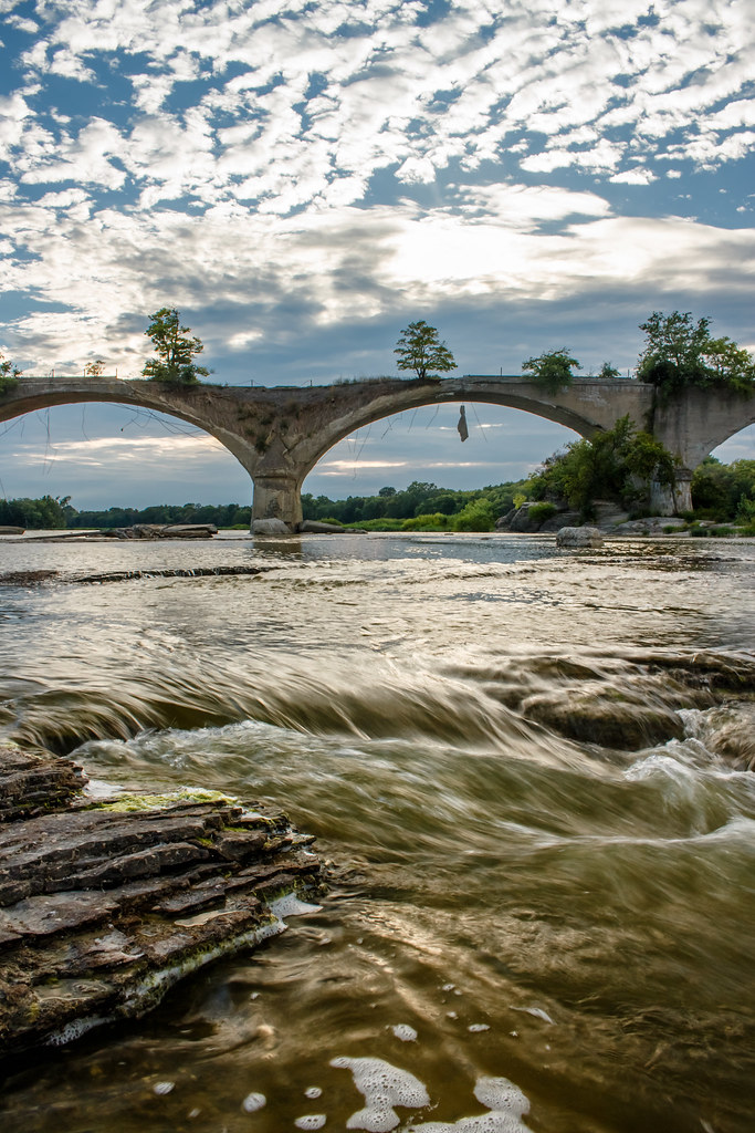
Interurban Bridge Sundown

one of several
photo.JPG
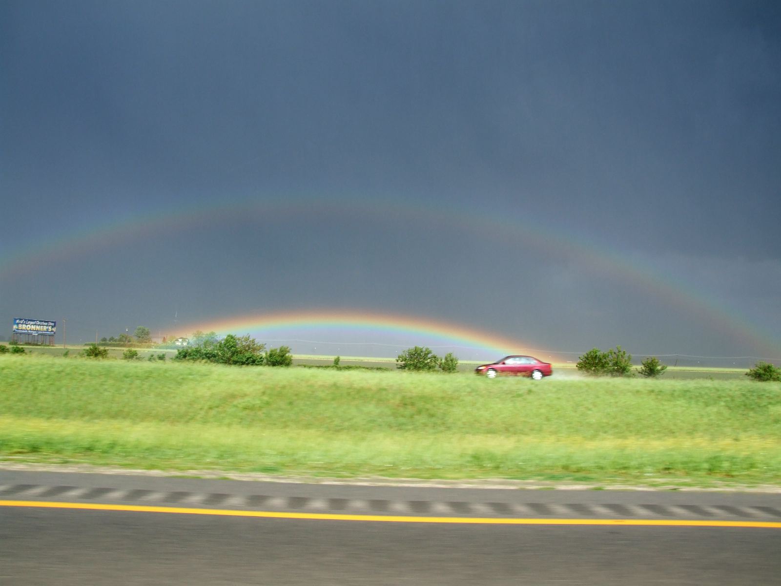
Funky rainbow two

Night falling #Bgsu #landscape #night #lastmoments

#bgsu #beautifulday
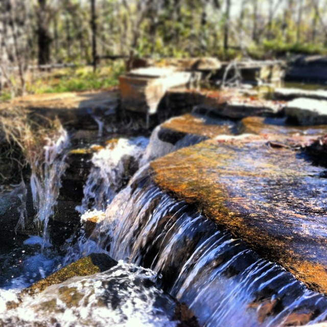
..And life goes on like a river flowing down.. • ..E a vida vai passando como um rio seguindo seu fluxo.. #Reflexion #waterfall #FinlayPark #Columbia #SouthCarolina
7/9/2010

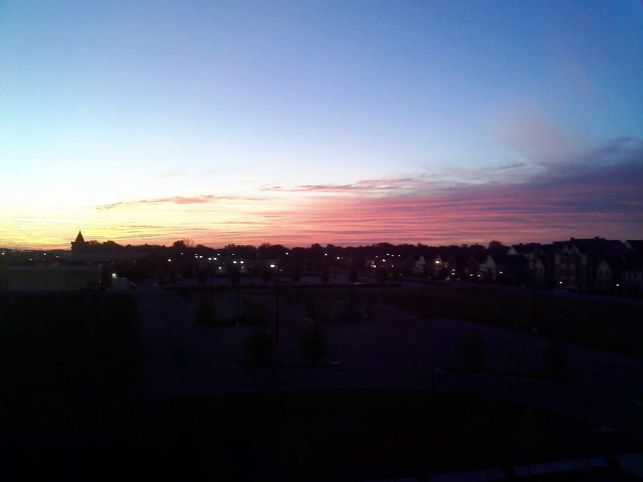
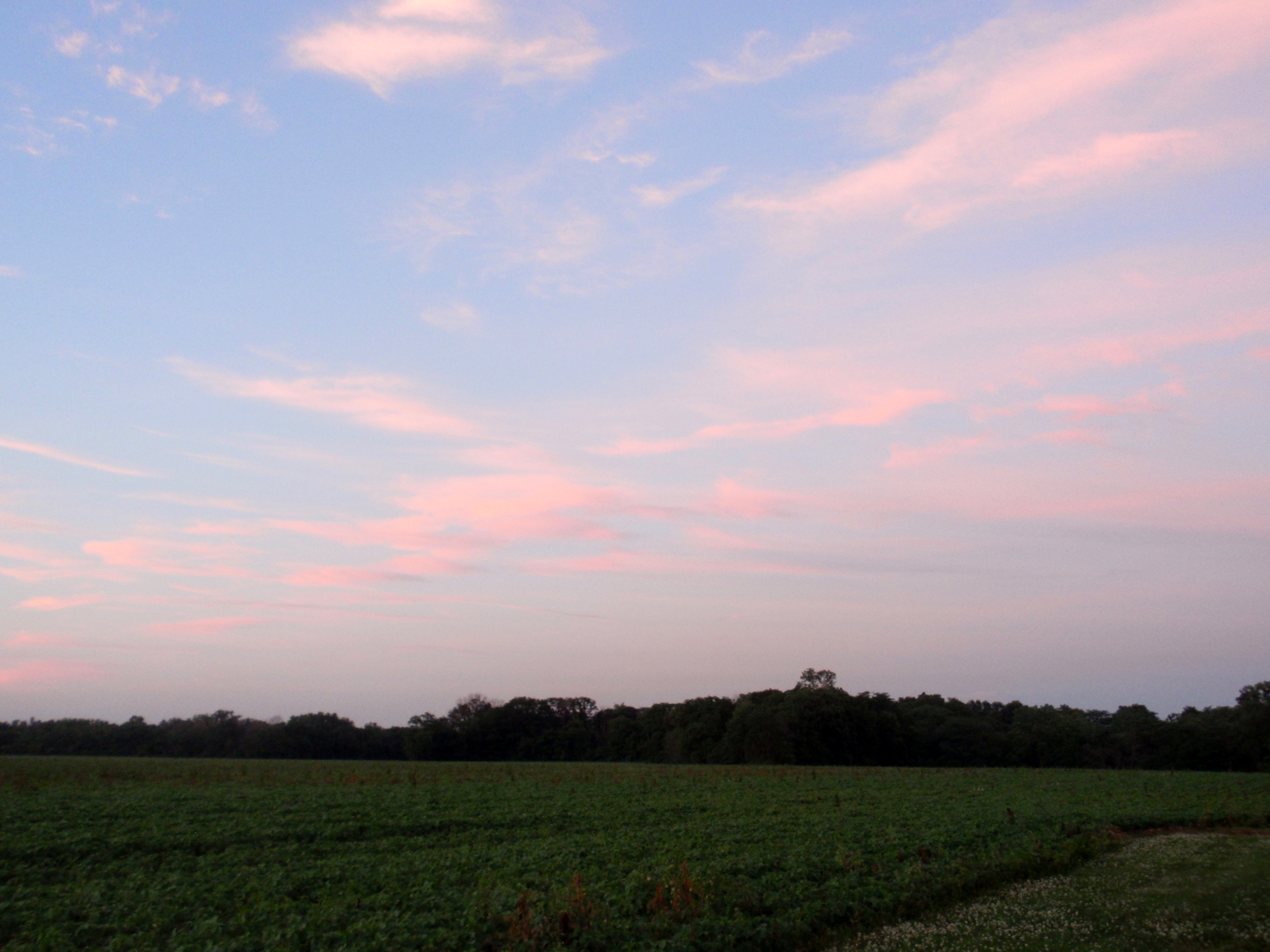
Just Another Sunset
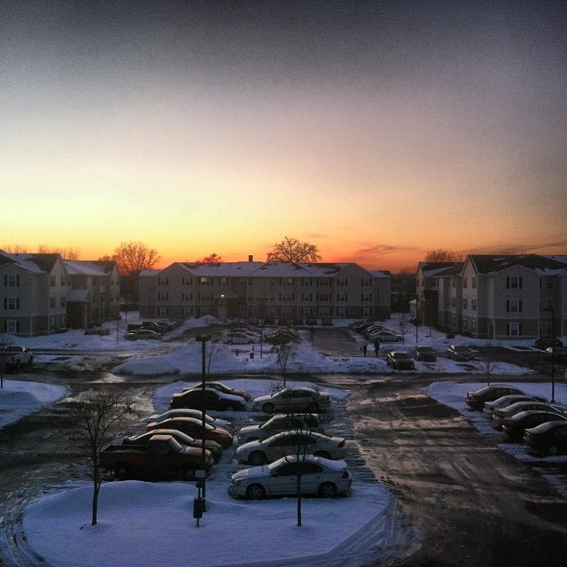
Skyscraper of the day #Skyscraper #Sky #February #SunSetting #Winter
7/9/2010
Topographic Map of Quail Hollow Dr, Bowling Green, OH, USA
Find elevation by address:

Places near Quail Hollow Dr, Bowling Green, OH, USA:
440 Madison Ct
Village Dr, Bowling Green, OH, USA
Wood County Hospital | Bowling Green Hospital
950 W Wooster St
Main Street Photo & Portrait Studio
150 Vine St
225 Winfield Dr
800 Pearl St
Bowling Green
Bowling Green
Bowling Green
Bowling Green
Bowling Green
Bowling Green
Bowling Green
300 Pearl St
209 S Summit St
211 S Enterprise St
Black Swamp Preserve
Wood County
Recent Searches:
- Elevation of Pykes Down, Ivybridge PL21 0BY, UK
- Elevation of Jalan Senandin, Lutong, Miri, Sarawak, Malaysia
- Elevation of Bilohirs'k
- Elevation of 30 Oak Lawn Dr, Barkhamsted, CT, USA
- Elevation of Luther Road, Luther Rd, Auburn, CA, USA
- Elevation of Unnamed Road, Respublika Severnaya Osetiya — Alaniya, Russia
- Elevation of Verkhny Fiagdon, North Ossetia–Alania Republic, Russia
- Elevation of F. Viola Hiway, San Rafael, Bulacan, Philippines
- Elevation of Herbage Dr, Gulfport, MS, USA
- Elevation of Lilac Cir, Haldimand, ON N3W 2G9, Canada