Elevation of Quail Dr, Pine Grove, CA, USA
Location: United States > California > Amador County > Pine Grove >
Longitude: -120.63175
Latitude: 38.367815
Elevation: 777m / 2549feet
Barometric Pressure: 92KPa
Elevation Map:
Satellite Map:
Related Photos:

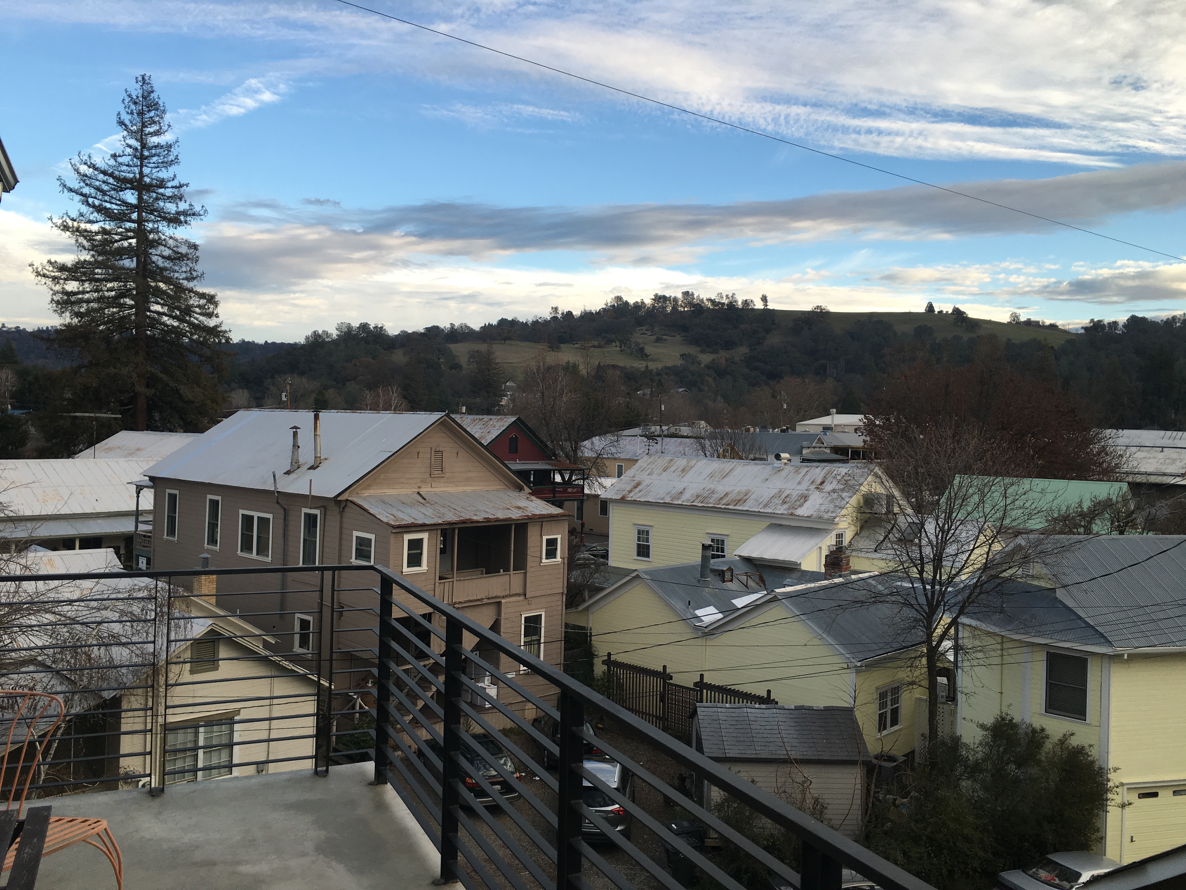
Jackson, California
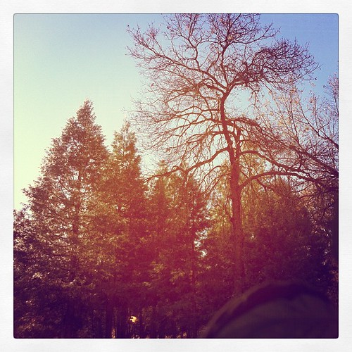
This is the view from my grandpa's front porch. I wouldn't mind waking up to this every morning. #photooftheday

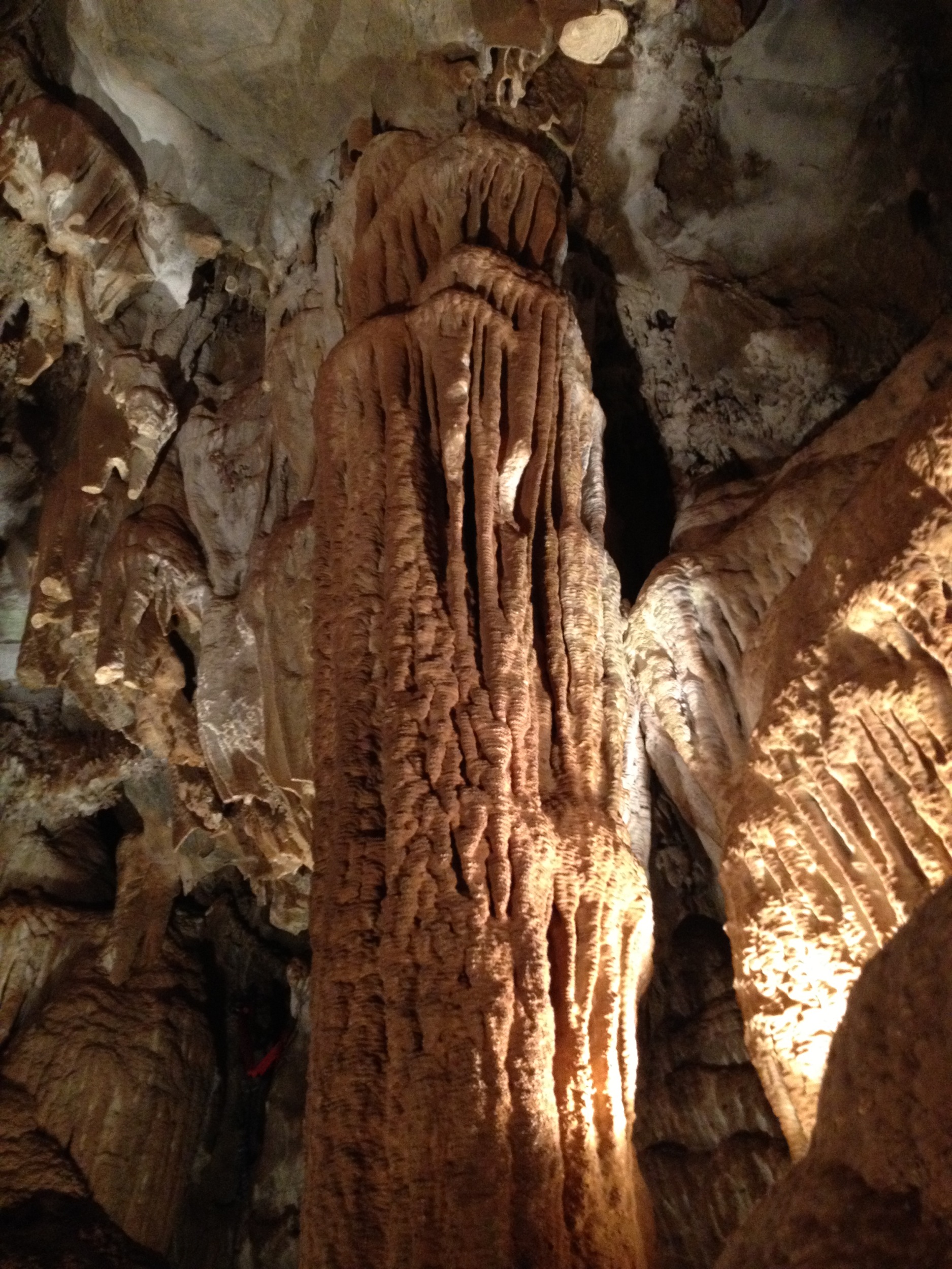
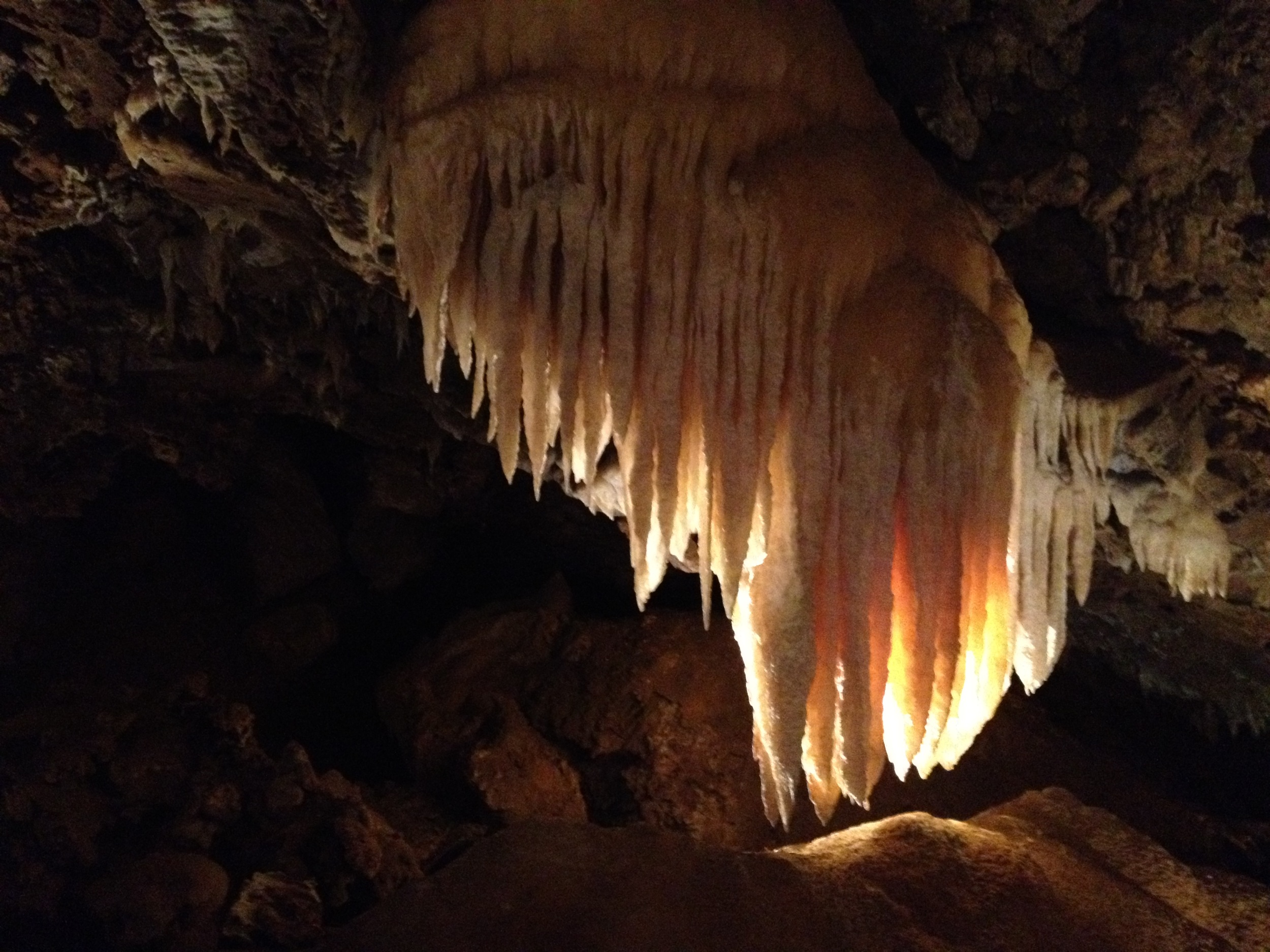
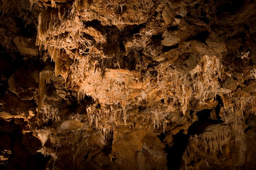
Black Chasm Cavern
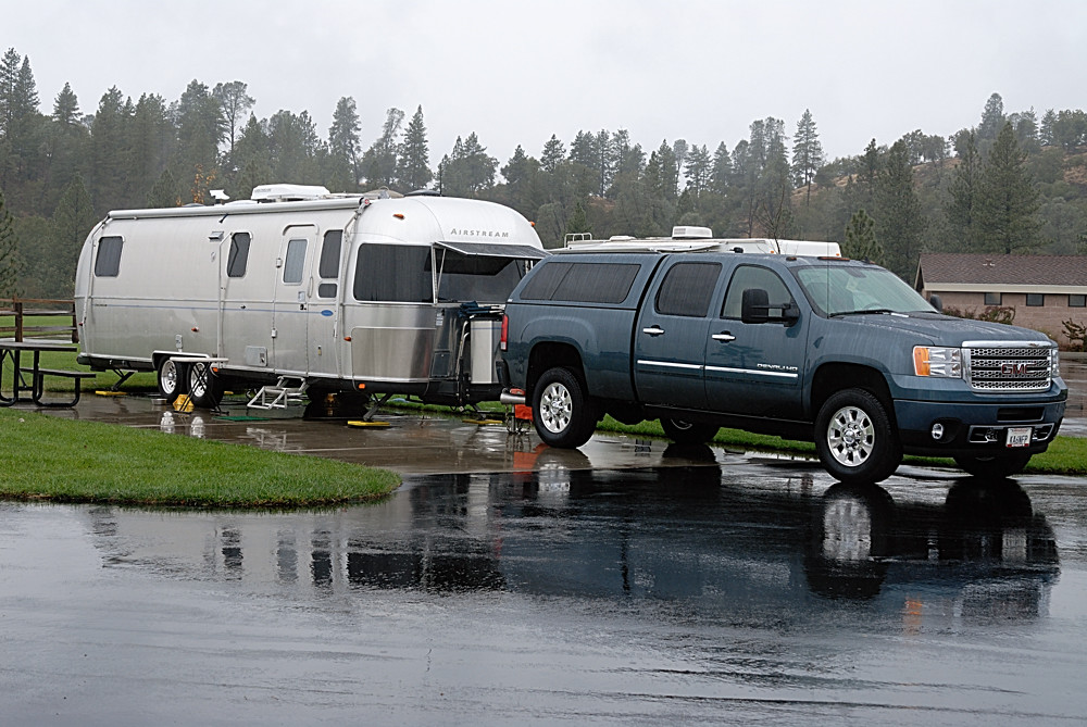
Rainy view of our 2004 30' Classic Airstream

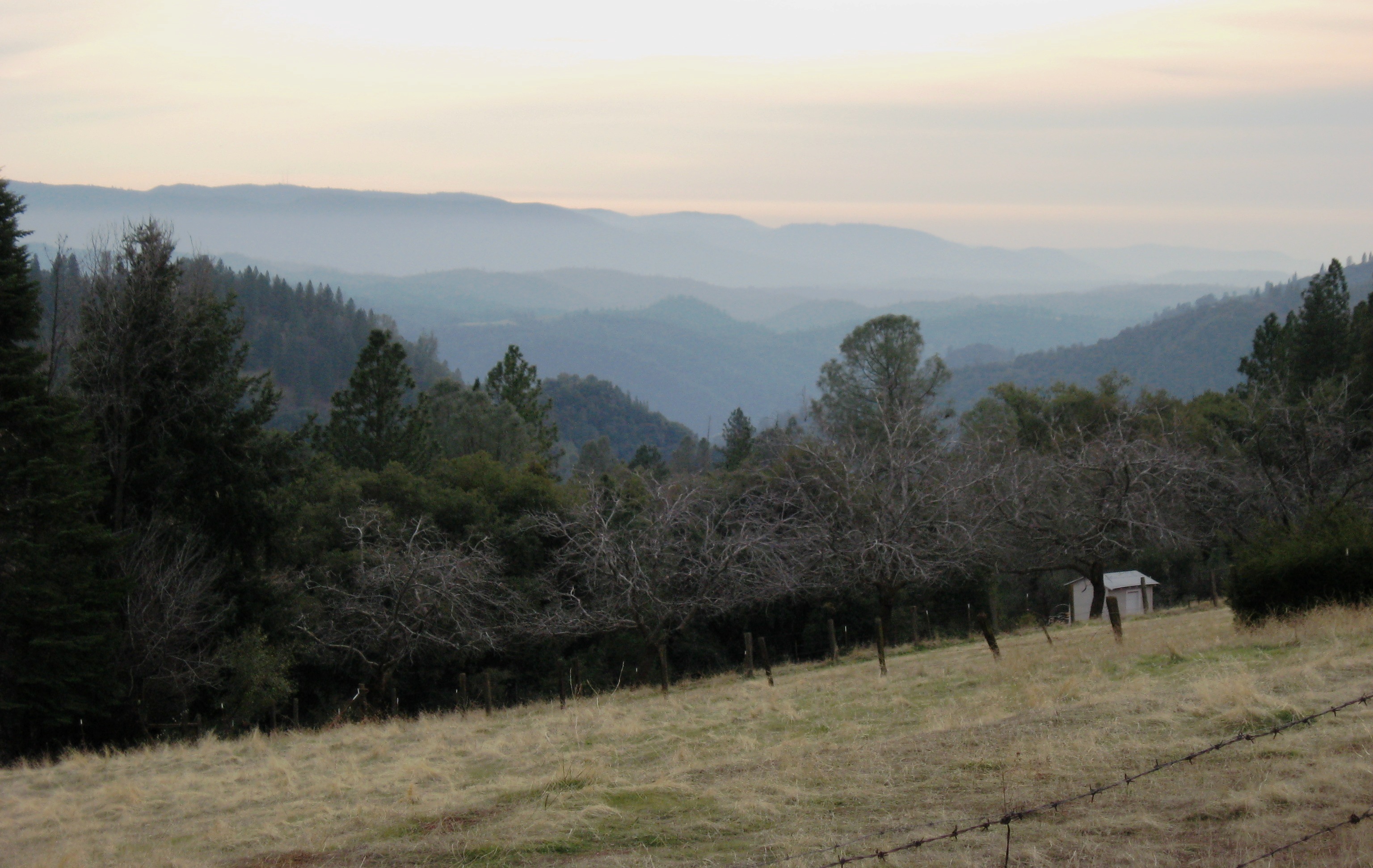
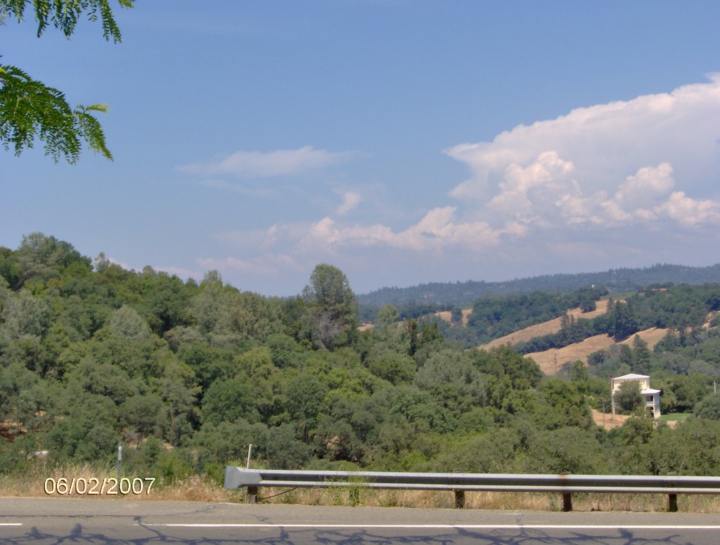
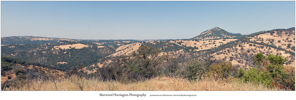
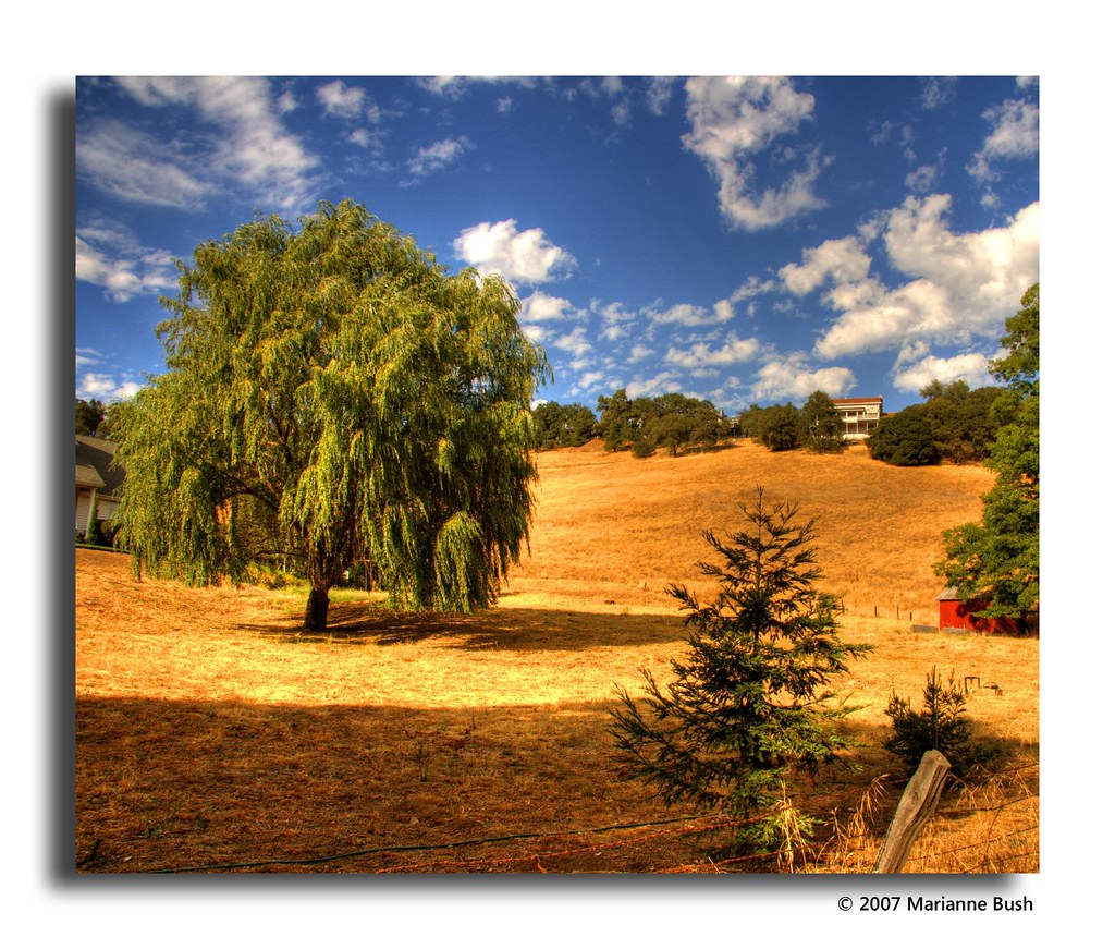
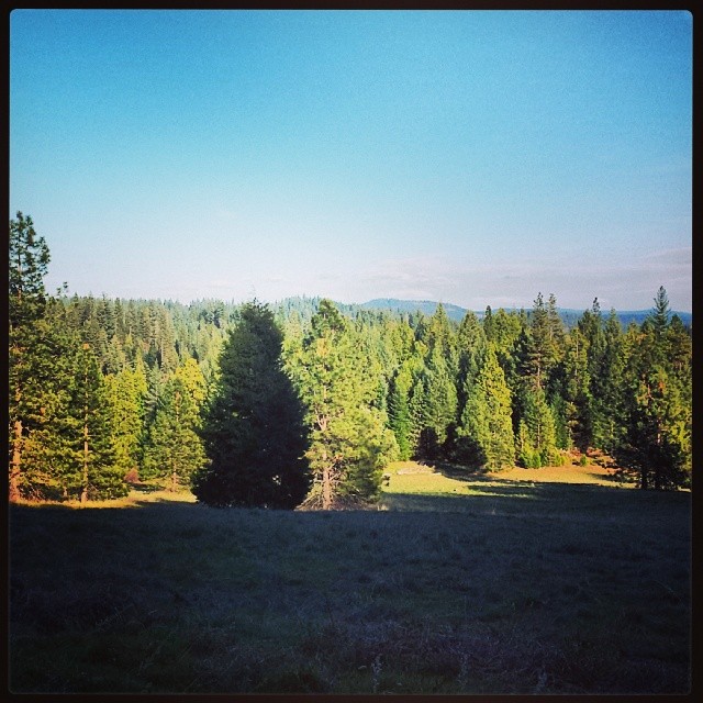
Nice Mountain View 1
Nice View 2
Jackson, CA
Argonaut Mine
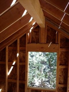
Sylvan View from Bedroom
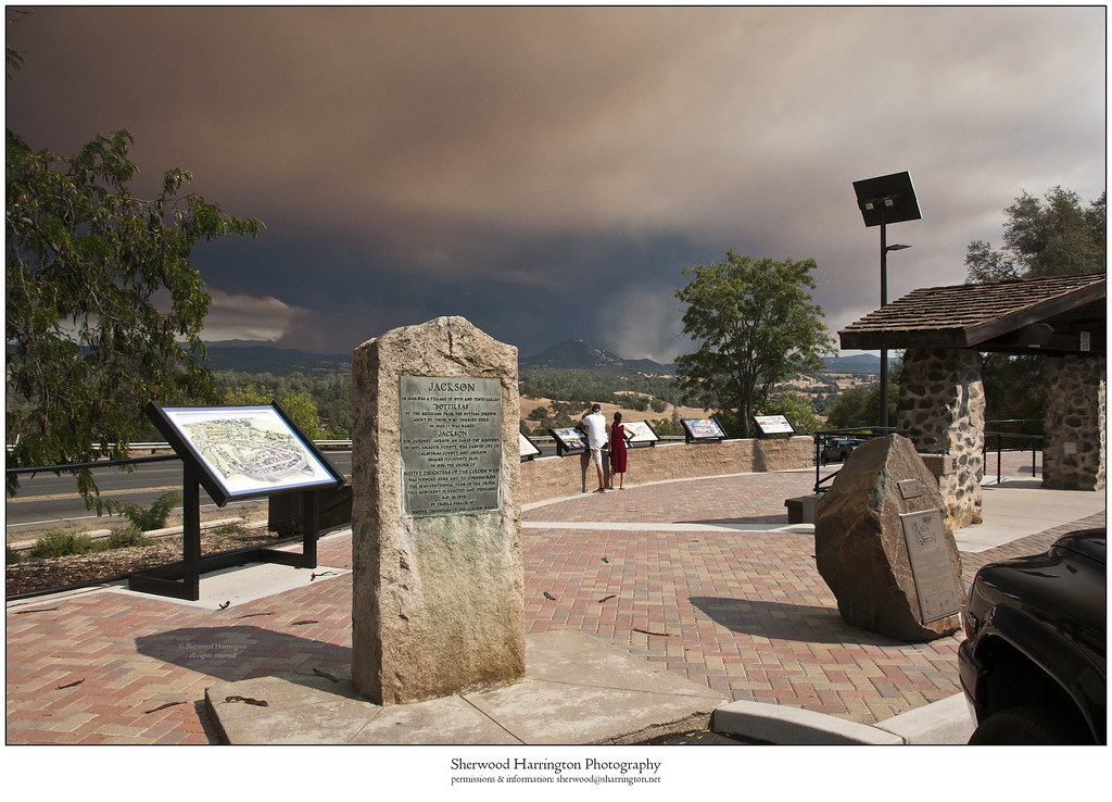
Butte Fire from the Highway 49 Vista Point, Jackson
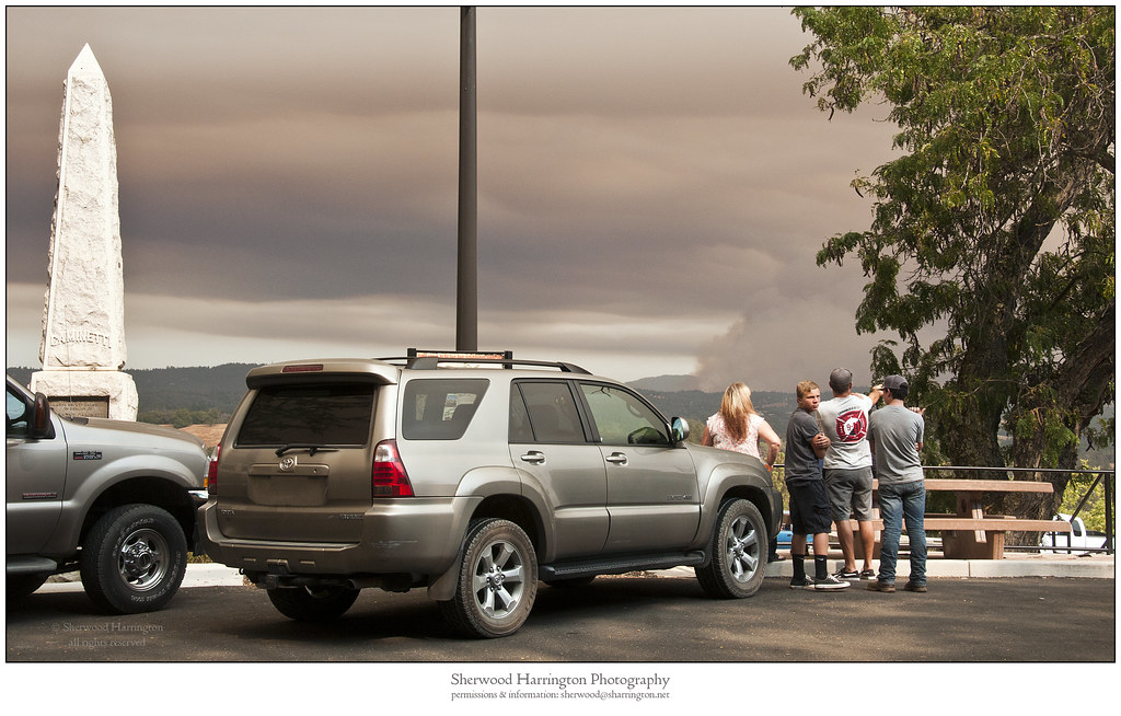
Watching Smoke
Panorama from the Mokelumne Hill Airstrip

Jackson Butte from Mokelumne Hill
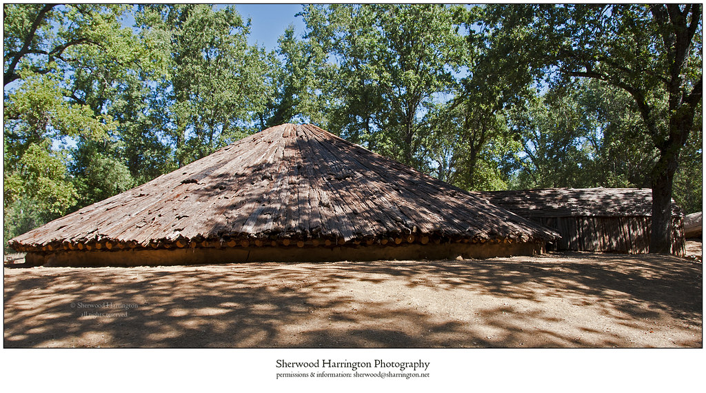
Miwok Ceremonial Roundhouse, 2 of 6
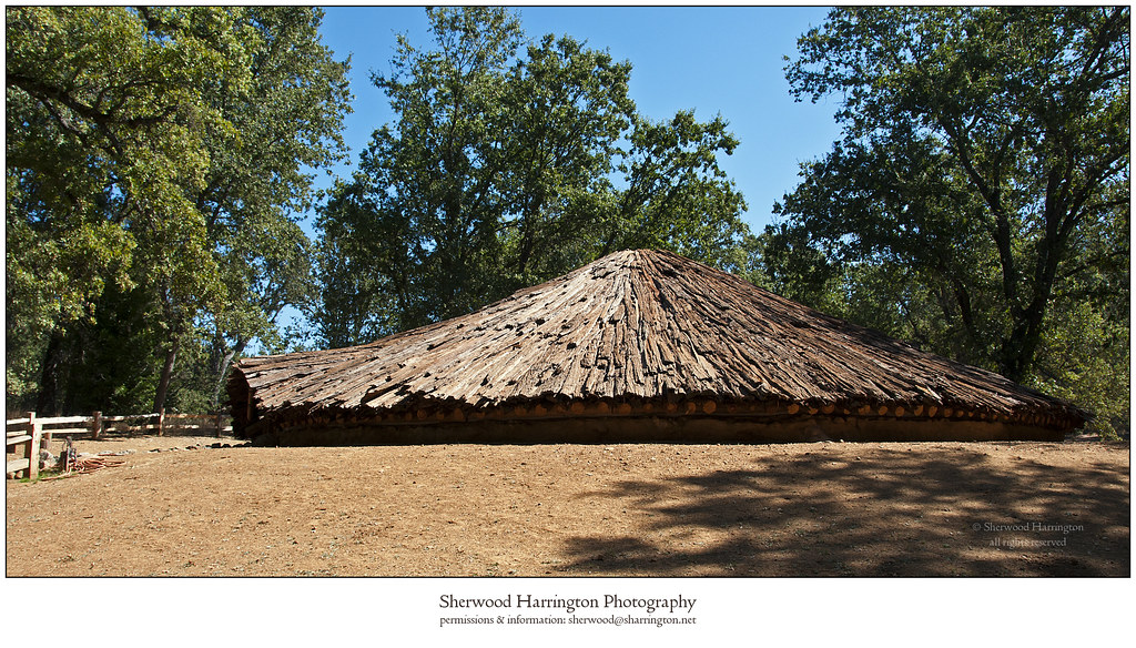
Miwok Ceremonial Roundhouse, 4 of 6

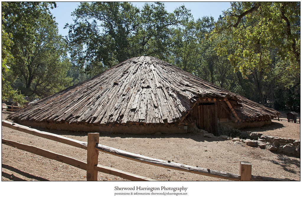
Miwok Ceremonial Roundhouse, 5 of 6
Miwok Ceremonial Roundhouse, 6 of 6
Hanford House

Outside the Cheese Shop

St. Bernard's Church

Indian Grinding Rock
DSC_0255-a25
From Sutter Creek***
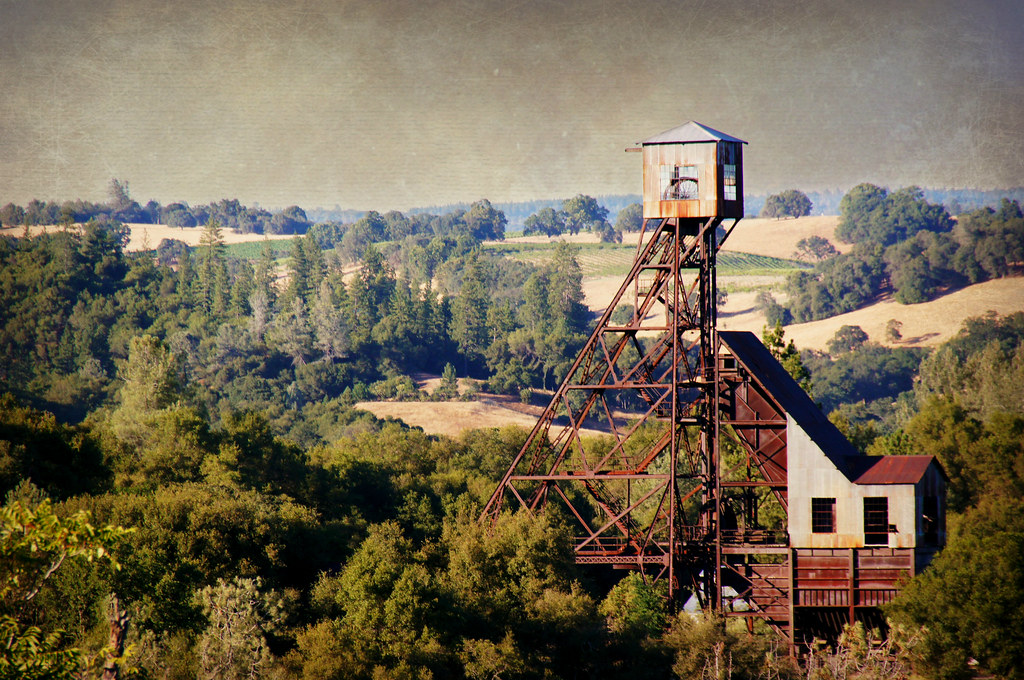
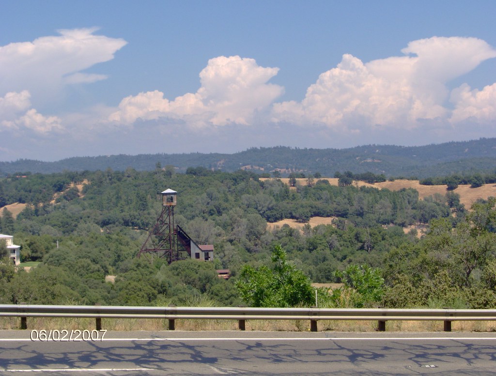
Kennedy Goldmine Headframe
CRW_7990-54
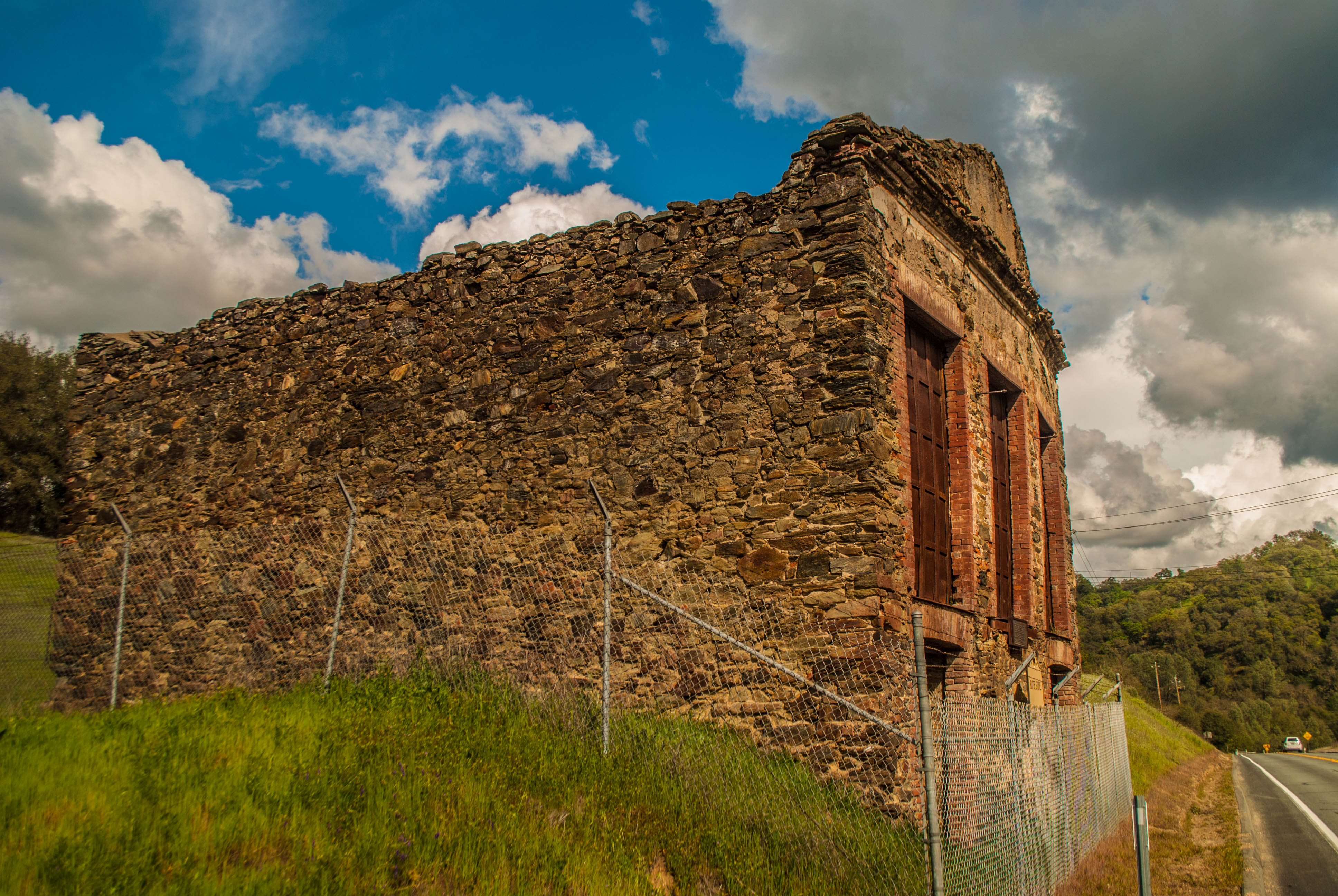
Butte Store Ruins
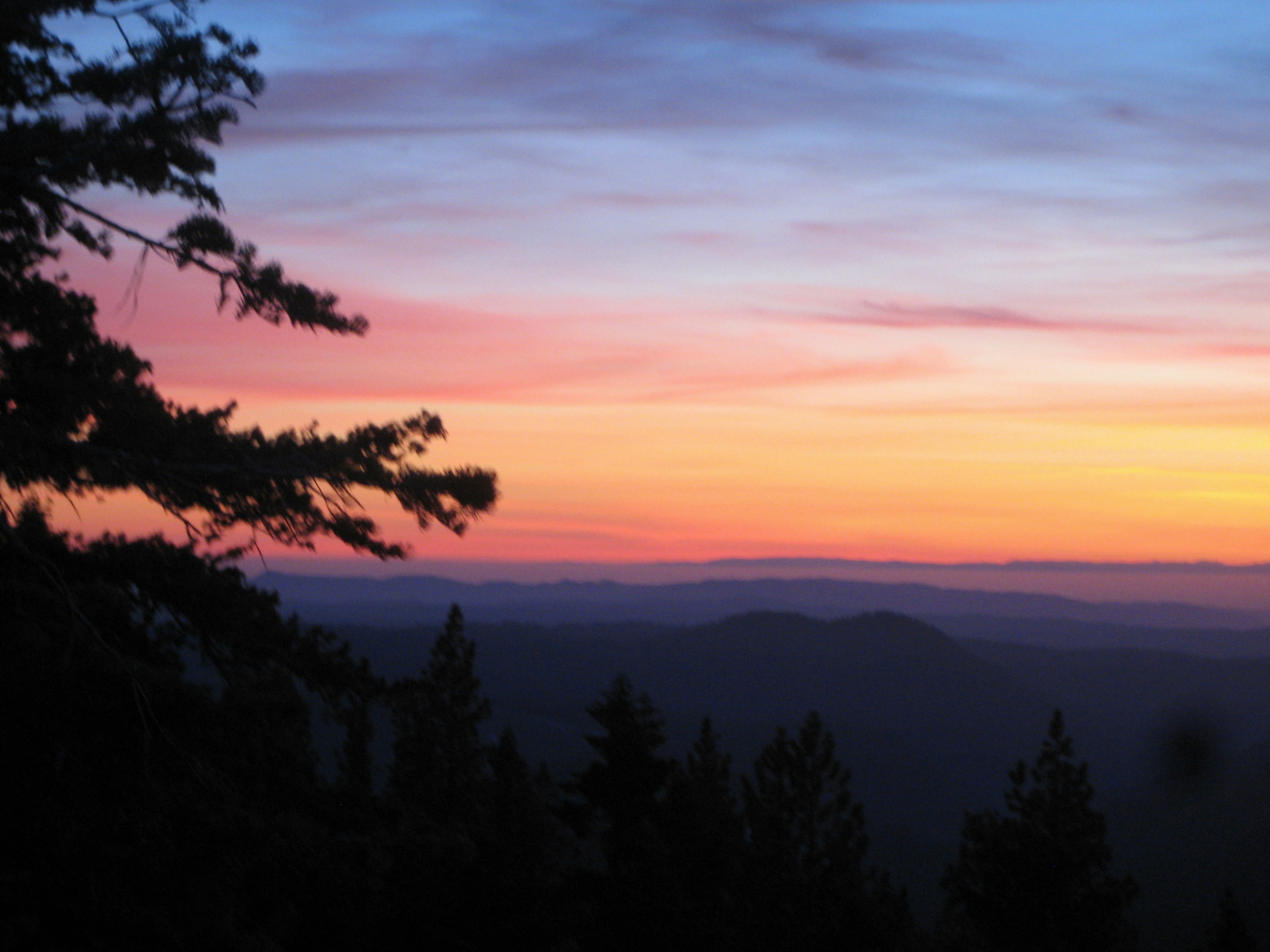
Painted Sky

Camera Roll-1234
Living Color
Camera Roll-1234

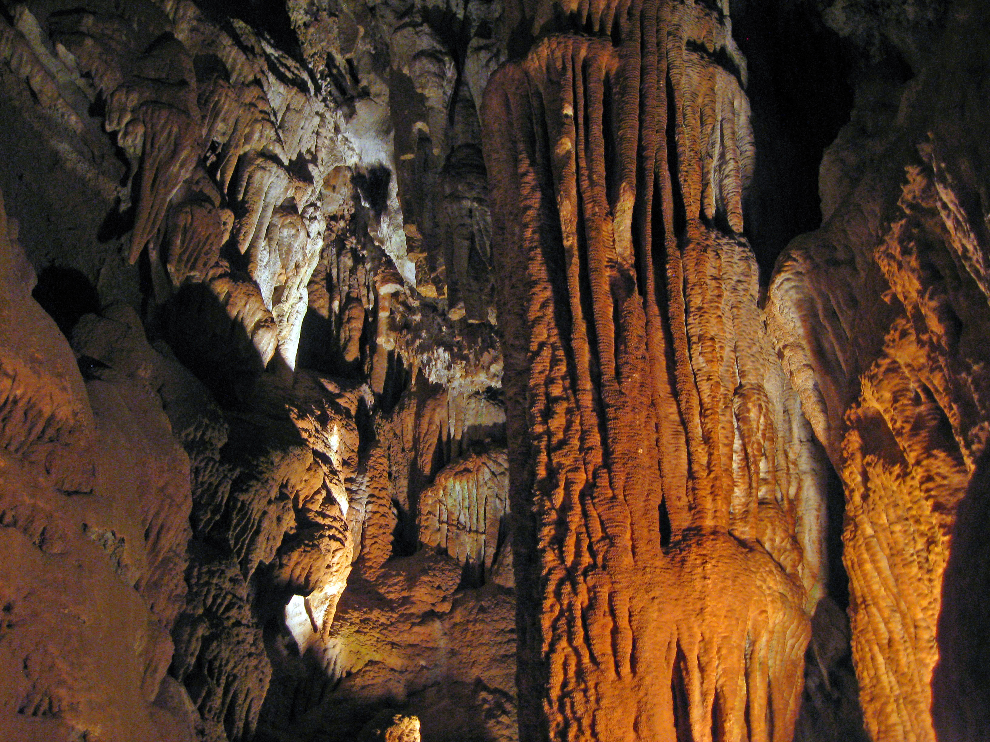
Black Chasm Cavern, Volcano, California.
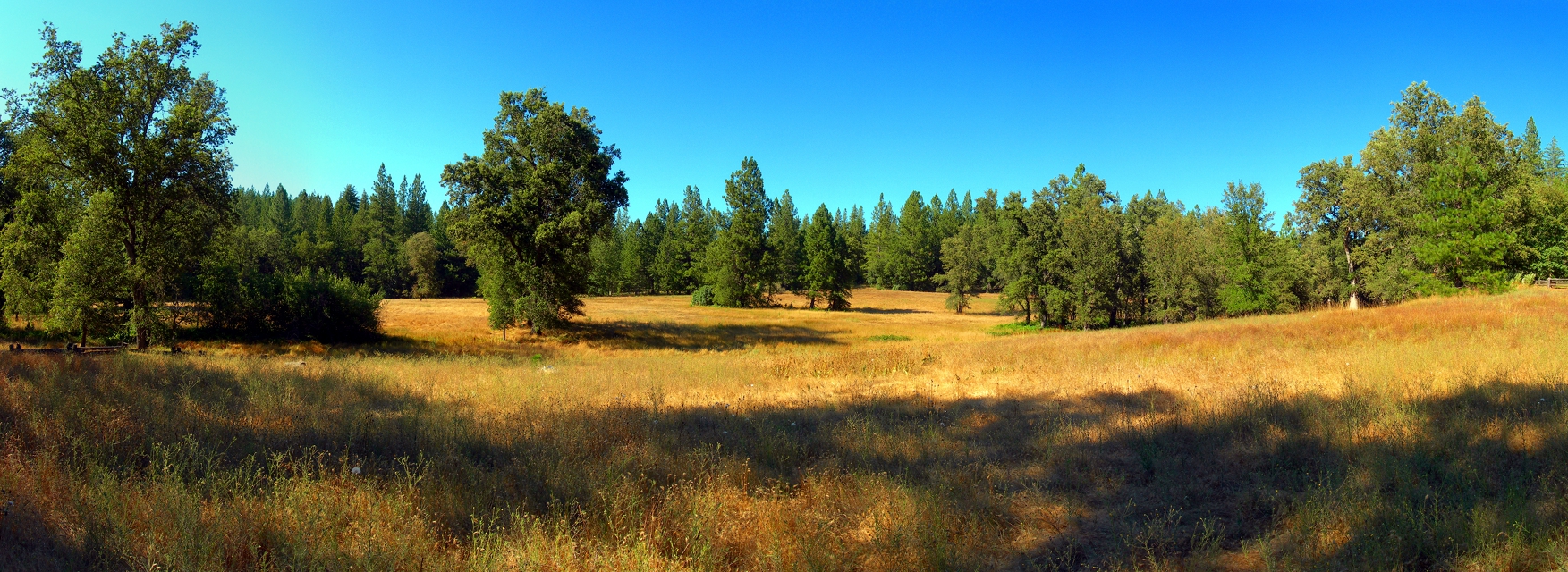
At the Edge of the Meadow

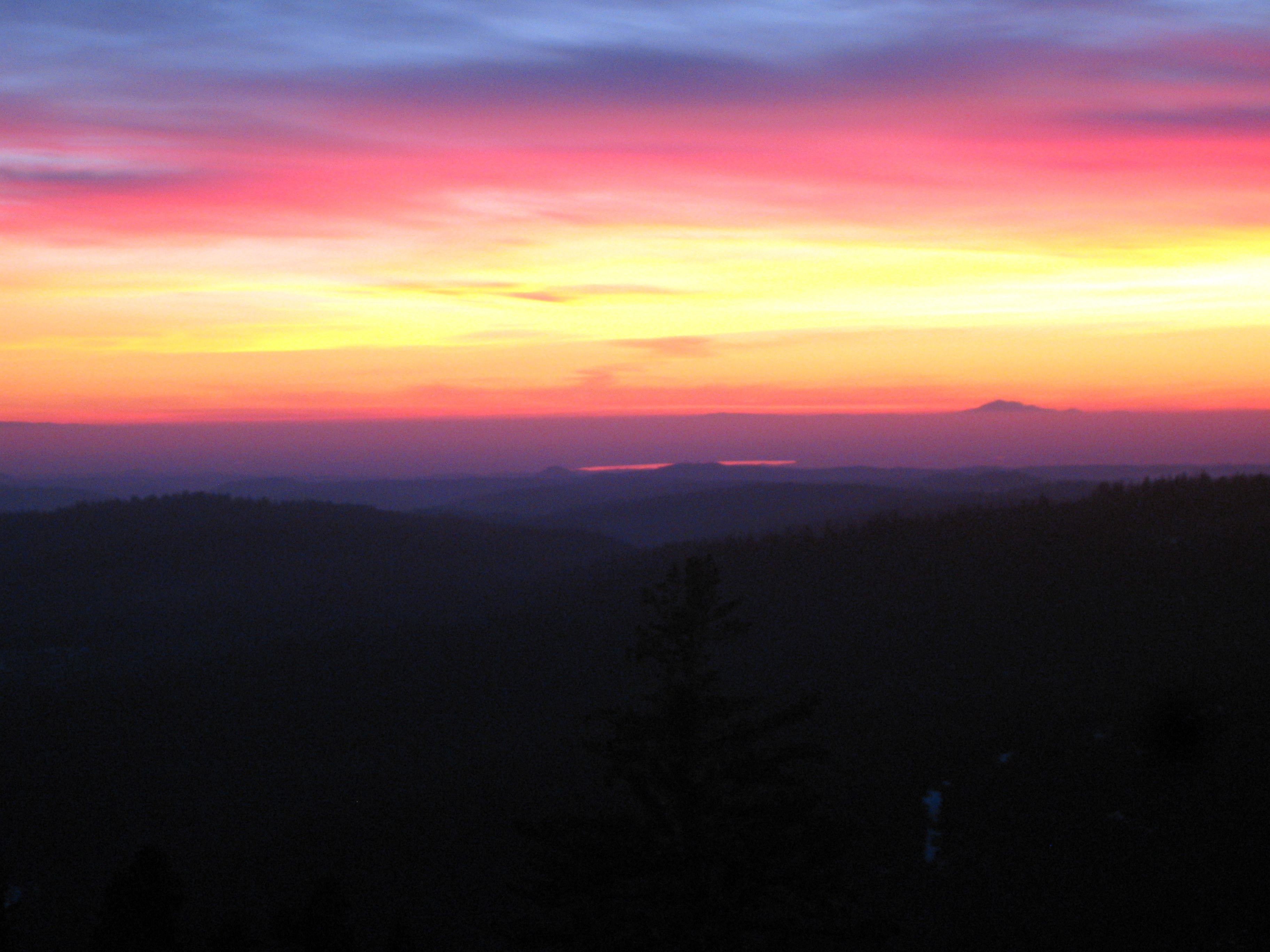
Red Sun
ATR20130218-1649-195
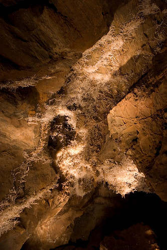
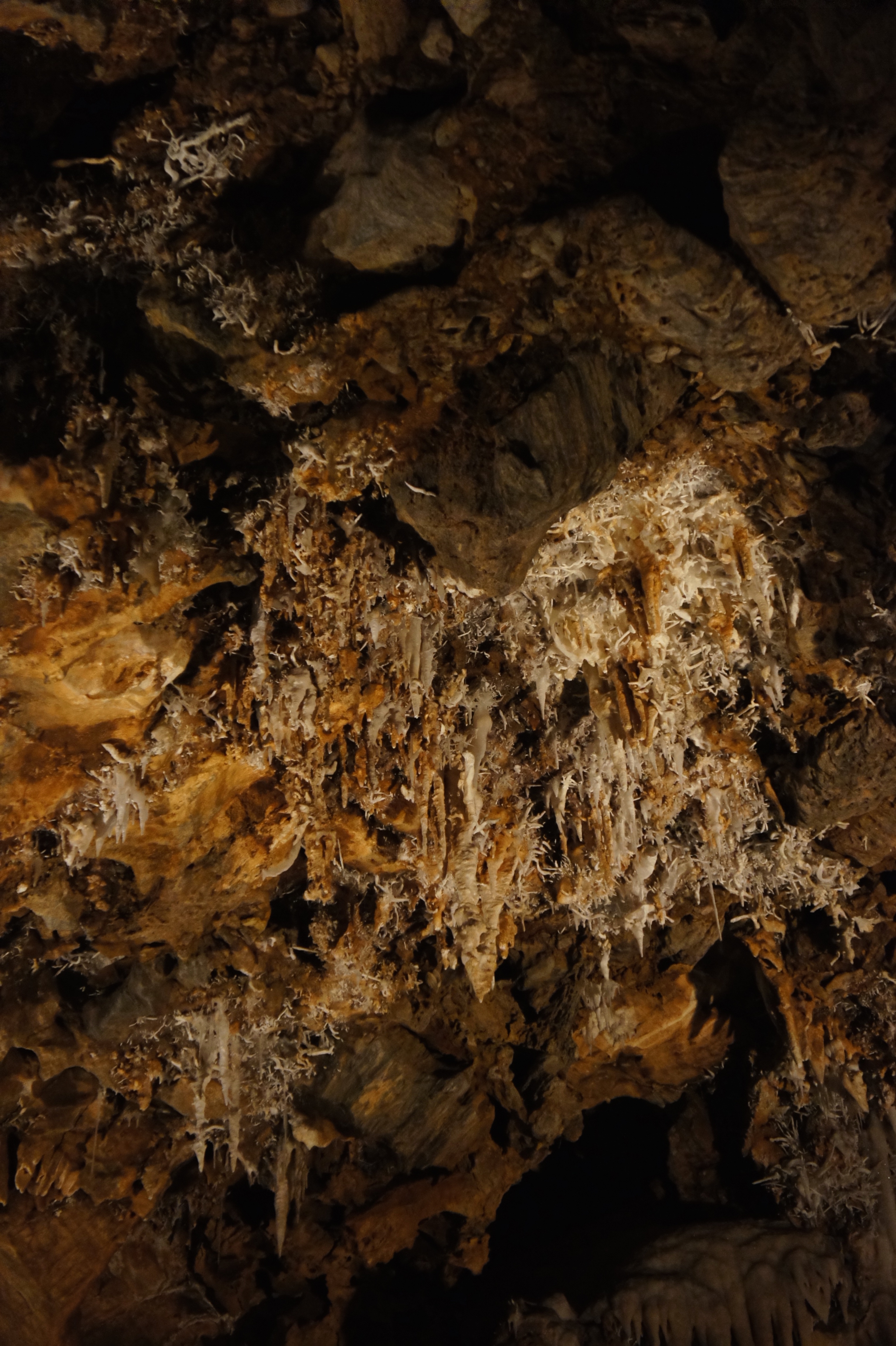
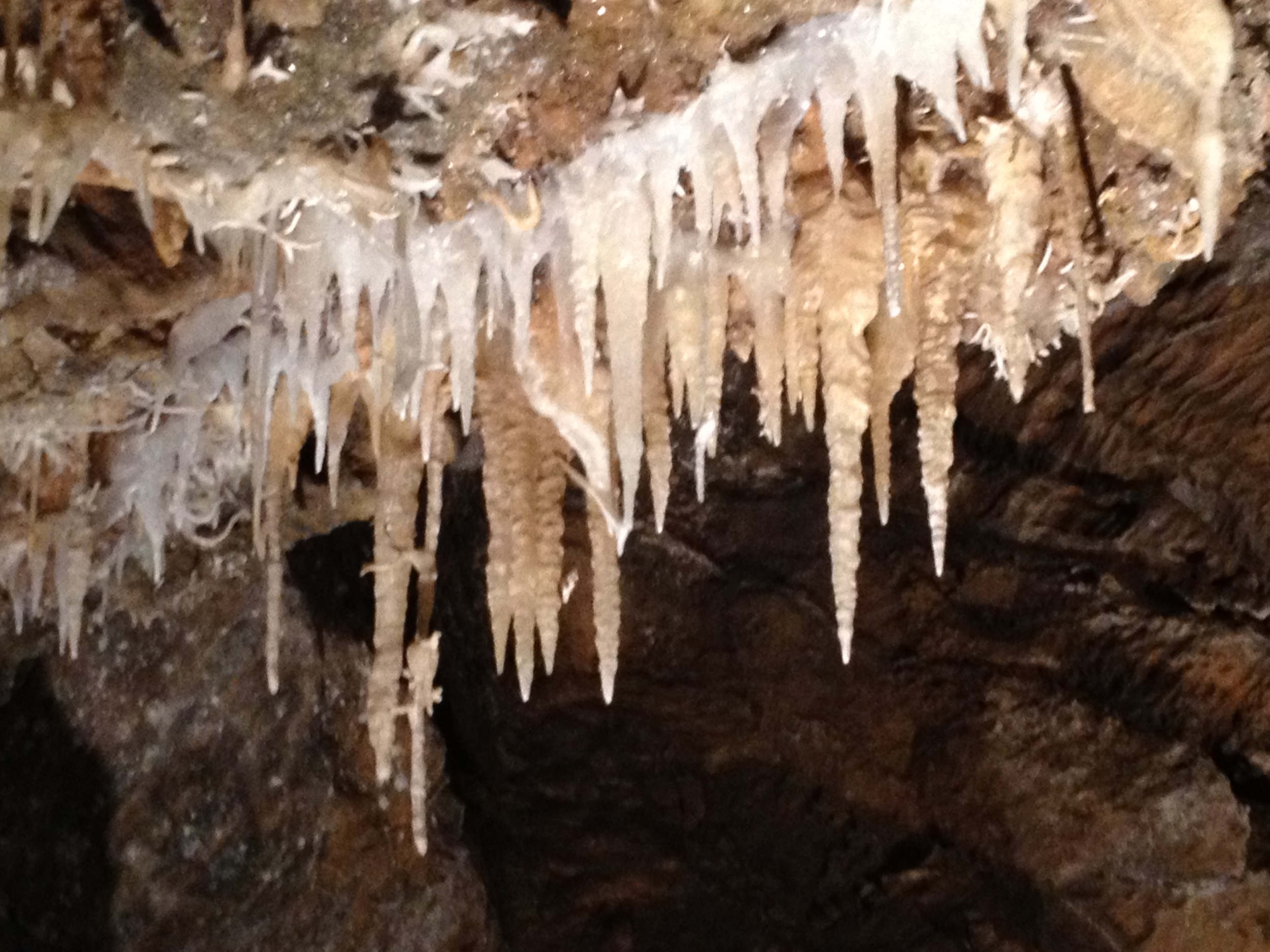
Black Chasm Caves

_8120111.NEF

Camera Roll-1243
Camera Roll-1243
Walking the pups! So #pretty! Great weather! #mountains
Big Bar Launch
Camera Roll-1245
CRW_8006-61
Topographic Map of Quail Dr, Pine Grove, CA, USA
Find elevation by address:

Places near Quail Dr, Pine Grove, CA, USA:
21407 Dove Ct
11252 Tabeaud Rd
11705 Gold View Way
11451 Tabeaud Rd
11651 Tabeaud Rd
11855 Big Oak Ct
11930 Gold View Way
12323 Eldel Rd
12345 Tabeaud Rd
12395 Arrow Head Rd
21100 Vista Sierra Ct
12780 Burnt Cedar Ln
Tabeaud Road
Tabeaud Road
21101 Vista Amorosa Ct
13066 Aqueduct Grove Rd
12801 Old Spring Rd
Mt Zion Lookout Fire
20050 Meadowood Dr
Mount Zion
Recent Searches:
- Elevation of 15th Ave SE, St. Petersburg, FL, USA
- Elevation of Beall Road, Beall Rd, Florida, USA
- Elevation of Leguwa, Nepal
- Elevation of County Rd, Enterprise, AL, USA
- Elevation of Kolchuginsky District, Vladimir Oblast, Russia
- Elevation of Shustino, Vladimir Oblast, Russia
- Elevation of Lampiasi St, Sarasota, FL, USA
- Elevation of Elwyn Dr, Roanoke Rapids, NC, USA
- Elevation of Congressional Dr, Stevensville, MD, USA
- Elevation of Bellview Rd, McLean, VA, USA