Elevation of Qibilī, Tunisia
Location: Tunisia > Kebili > Kebili South >
Longitude: 8.9714623
Latitude: 33.7071551
Elevation: 58m / 190feet
Barometric Pressure: 101KPa
Elevation Map:
Satellite Map:
Related Photos:

Salt Lake - شط الجريد

Tunisia_IMG_3193.jpg

Tunisia_IMG_3203.jpg

zafaran 22

Gouvernorat de Tozeur, 07-2014
KEBILI WATER

TN-T-00031

zafaran 23
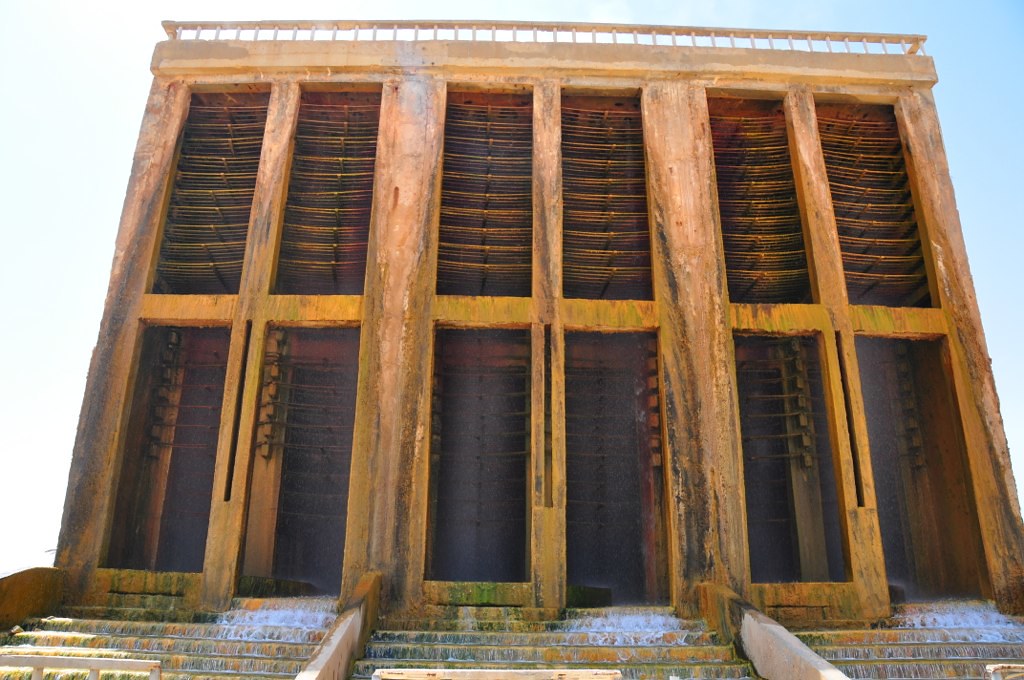
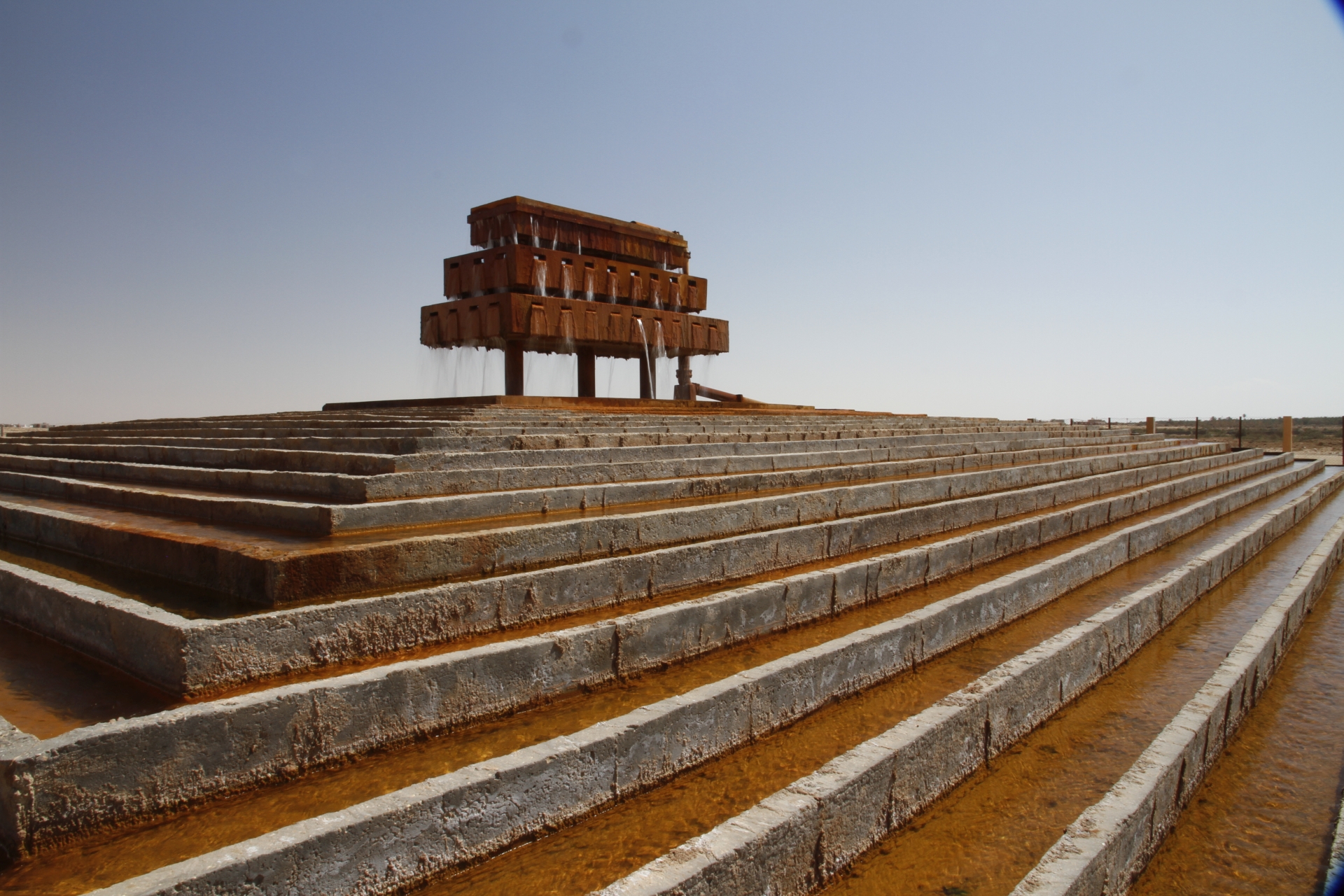
Kebili Geothermal water cooling station

oasis dreams
Topographic Map of Qibilī, Tunisia
Find elevation by address:

Places near Qibilī, Tunisia:
Recent Searches:
- Elevation of 6 Rue Jules Ferry, Beausoleil, France
- Elevation of Sattva Horizon, 4JC6+G9P, Vinayak Nagar, Kattigenahalli, Bengaluru, Karnataka, India
- Elevation of Great Brook Sports, Gold Star Hwy, Groton, CT, USA
- Elevation of 10 Mountain Laurels Dr, Nashua, NH, USA
- Elevation of 16 Gilboa Ln, Nashua, NH, USA
- Elevation of Laurel Rd, Townsend, TN, USA
- Elevation of 3 Nestling Wood Dr, Long Valley, NJ, USA
- Elevation of Ilungu, Tanzania
- Elevation of Yellow Springs Road, Yellow Springs Rd, Chester Springs, PA, USA
- Elevation of Rēzekne Municipality, Latvia